Elevation of South Line, S Line, Grey Highlands, ON N0C, Canada
Location: Canada > Ontario > Grey County > Grey Highlands > Badjeros >
Longitude: -80.293125
Latitude: 44.2547633
Elevation: 518m / 1699feet
Barometric Pressure: 95KPa
Elevation Map:
Satellite Map:
Related Photos:

Mad River Panorama

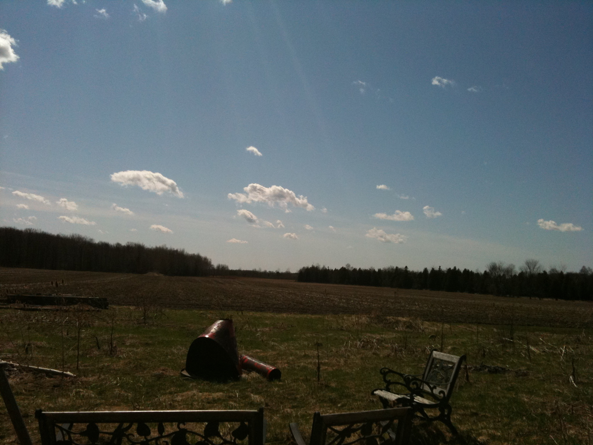
Farm On A Hill

Escarpment View 2

Escarpment View 1

Standing in the Middle of the Grand
View From the Shop Window

Birch Trees on the Bruce, at Nottawasaga Bluffs
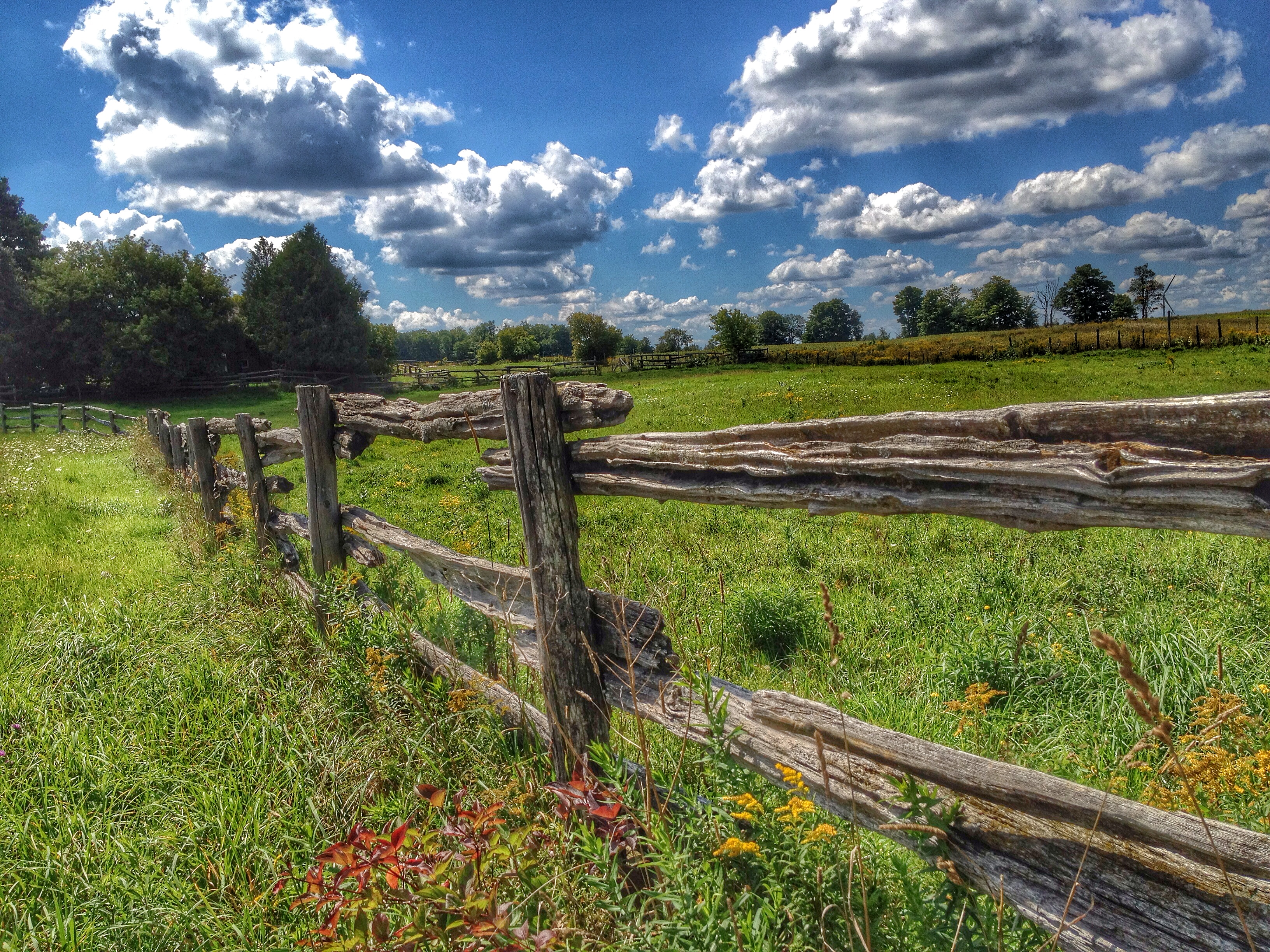
Rural Fence

Mist Key Hole

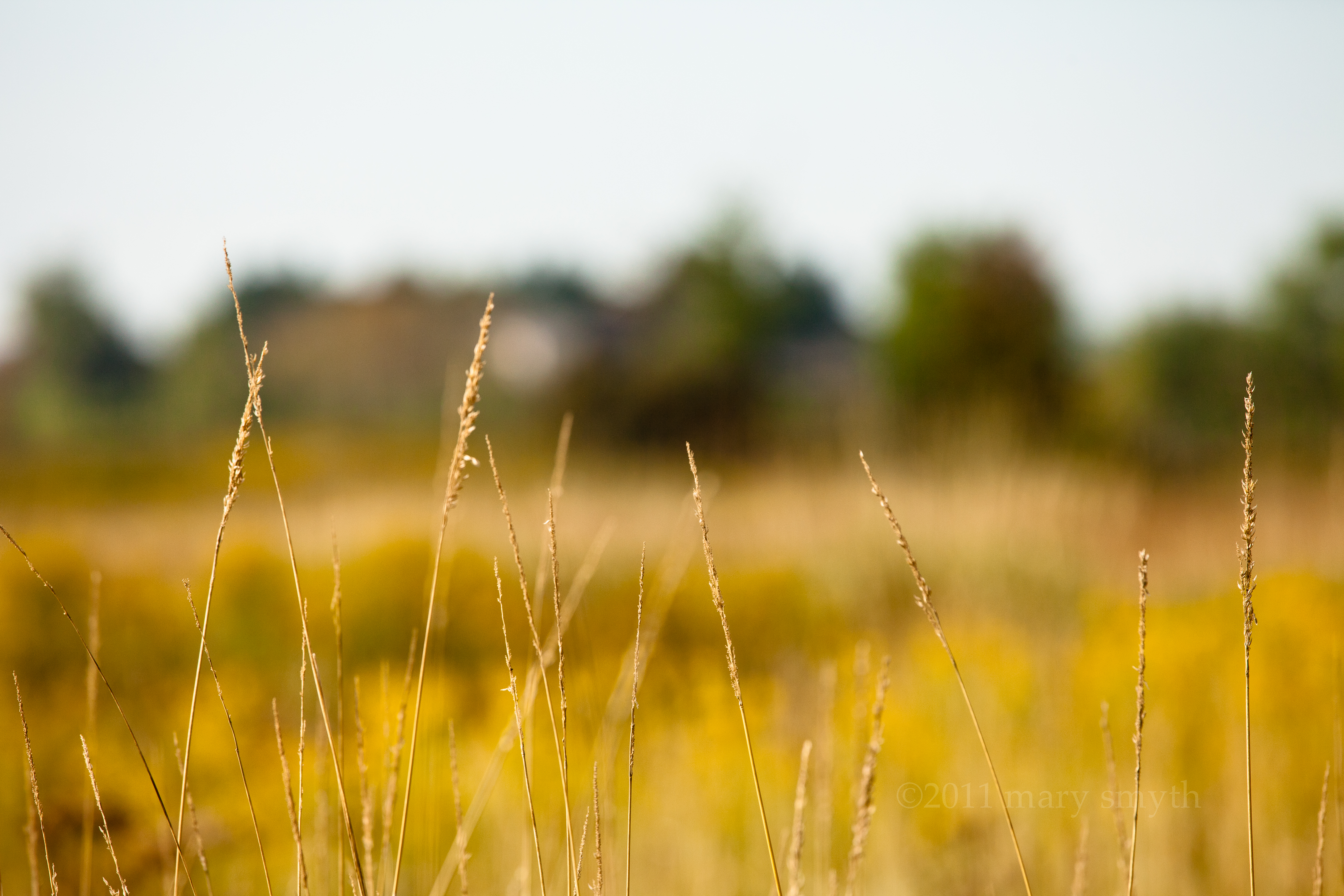
Hay, Hey!
Bokeh Day

Blue Mountain Panorama from Glen Huron Sideroad

The Birth of Azul

Canola Field

Bruce Trail, Nottawasaga

Hilly pasture

Feversham Gorge

Old Ontario Barn

The Colours of Grey

Nottawasaga Bluffs

Horse Drawn

From Lavender Hill

Sucking up Fog

Nottawasaga Bluffs

Autumn Pasture

Duntroon Highlands Golf Club, Collingwood, Canada, May 2014
Topographic Map of South Line, S Line, Grey Highlands, ON N0C, Canada
Find elevation by address:

Places near South Line, S Line, Grey Highlands, ON N0C, Canada:
Badjeros
Osprey Wetlands
Osprey Wetland Conservation Lands
409638 Grey County Rd 4
117 Lakeview Rd
554029 Rd 55
N0c 1m0
Singhampton
826298 Mulmur Nottawasaga Townline
826298 Mulmur Nottawasaga Townline
826298 Mulmur Nottawasaga Townline
826298 Mulmur Nottawasaga Townline
826298 Mulmur Nottawasaga Townline
468375 Grey Rd 31 - Simcoe Rd 95
18 Mill Town Rd
794232 Grey Rd 31 - Simcoe Rd 95
794232 Grey Rd 31 - Simcoe Rd 95
794232 Grey Rd 31 - Simcoe Rd 95
794232 Grey Rd 31 - Simcoe Rd 95
Honeywood
Recent Searches:
- Elevation of Elwyn Dr, Roanoke Rapids, NC, USA
- Elevation of Congressional Dr, Stevensville, MD, USA
- Elevation of Bellview Rd, McLean, VA, USA
- Elevation of Stage Island Rd, Chatham, MA, USA
- Elevation of Shibuya Scramble Crossing, 21 Udagawacho, Shibuya City, Tokyo -, Japan
- Elevation of Jadagoniai, Kaunas District Municipality, Lithuania
- Elevation of Pagonija rock, Kranto 7-oji g. 8"N, Kaunas, Lithuania
- Elevation of Co Rd 87, Jamestown, CO, USA
- Elevation of Tenjo, Cundinamarca, Colombia
- Elevation of Côte-des-Neiges, Montreal, QC H4A 3J6, Canada