Elevation of Grey County Rd 4, Singhampton, ON N0C 1M0, Canada
Location: Canada > Ontario > Singhampton >
Longitude: -80.284884
Latitude: 44.333095
Elevation: 511m / 1677feet
Barometric Pressure: 95KPa
Elevation Map:
Satellite Map:
Related Photos:

Roman Blind

Autumn Portal
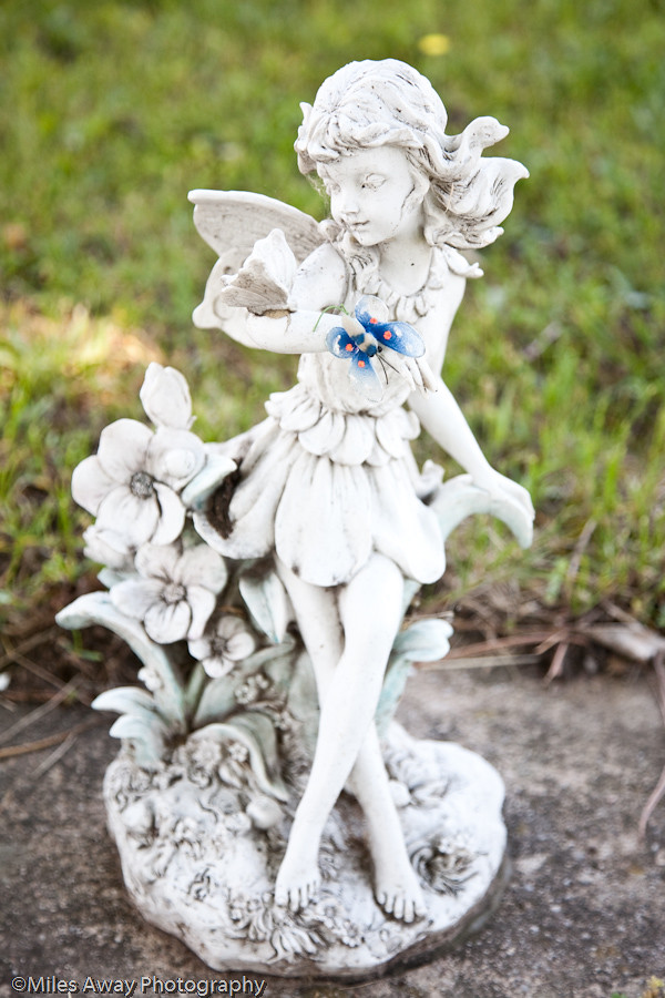
Collingwood - Winged Fairy

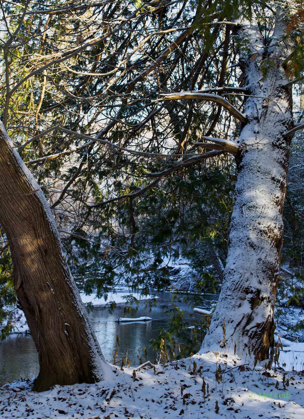
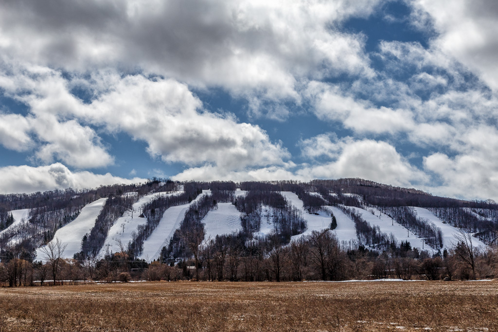
Winter #onwx
Vanishing Point
Far Far Away
Creemore Streetscape

Autumn at the Library
Collingwood Rain
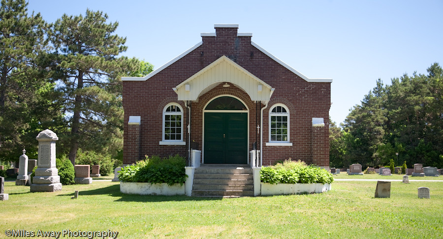
Collingwood - Presbyterian Cemetary
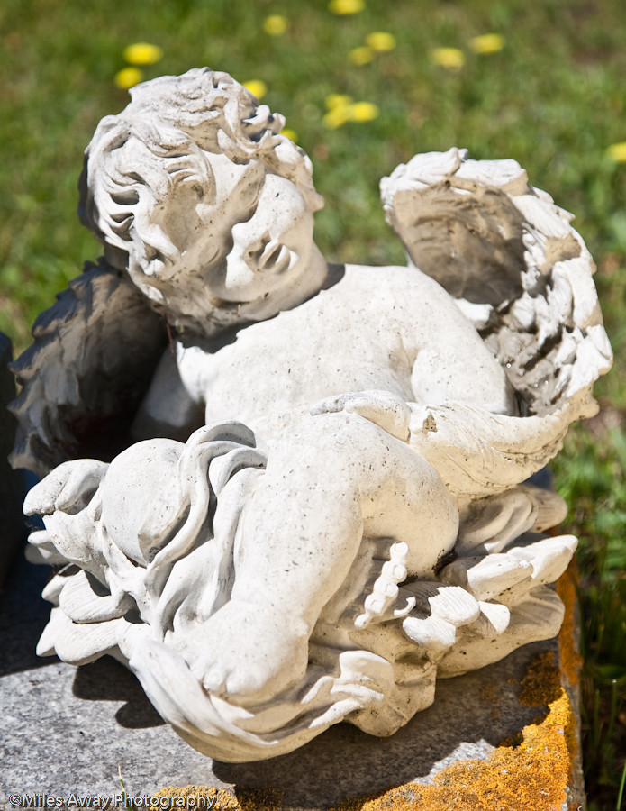
Collingwood -Winged Cherub
Enjoying The View
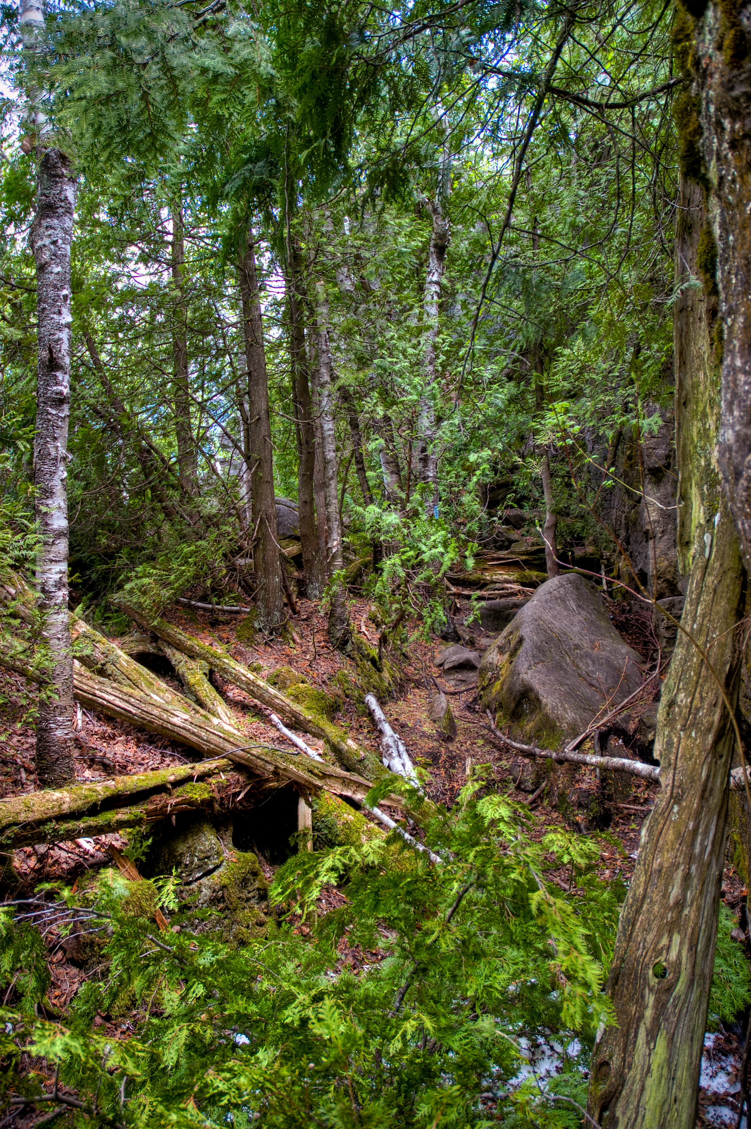
Between the Cedars
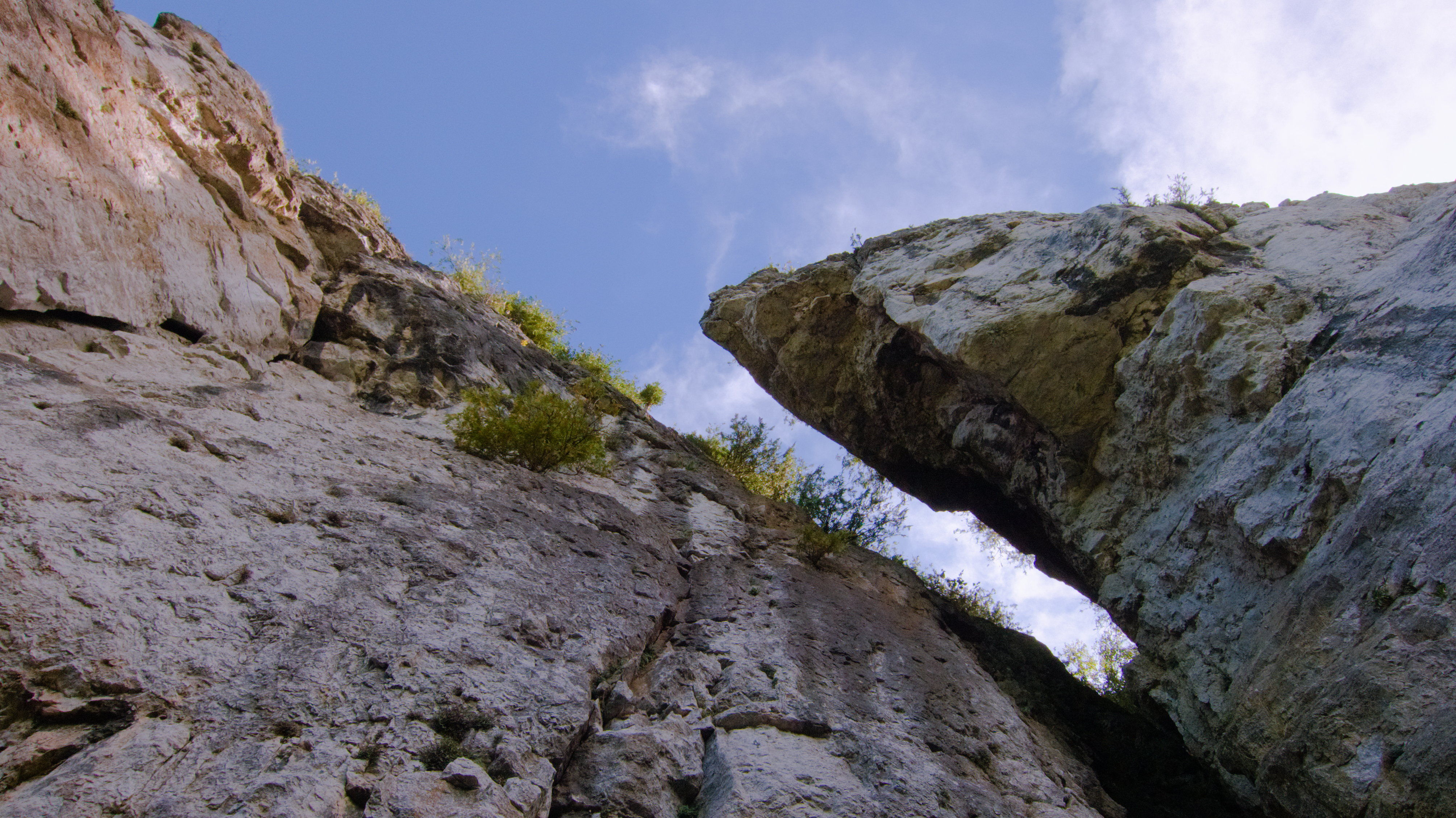
Below The Eagles Nest
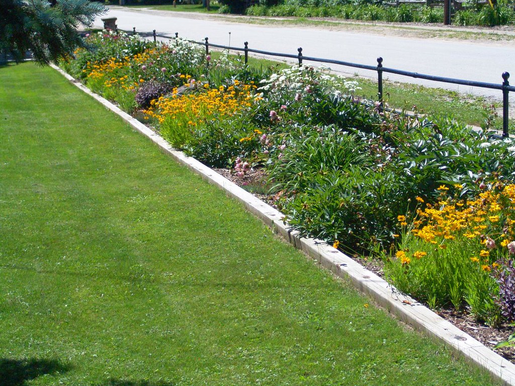
220 Mill Street Garden
The Anvil
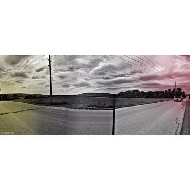
#Bike #clouds #collingwood #panoramic #cycling #landscape #little_eds @tojofoto
Sunrise at Lake Eugenia
Bokeh Day
Crossing Over
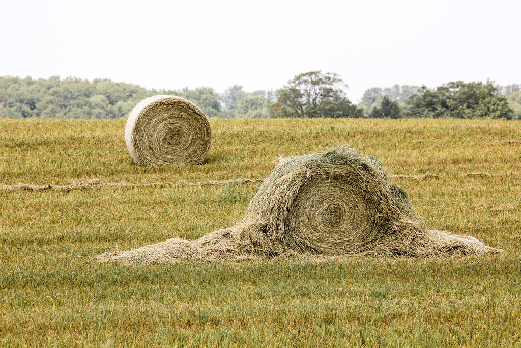
Hay, Hey!
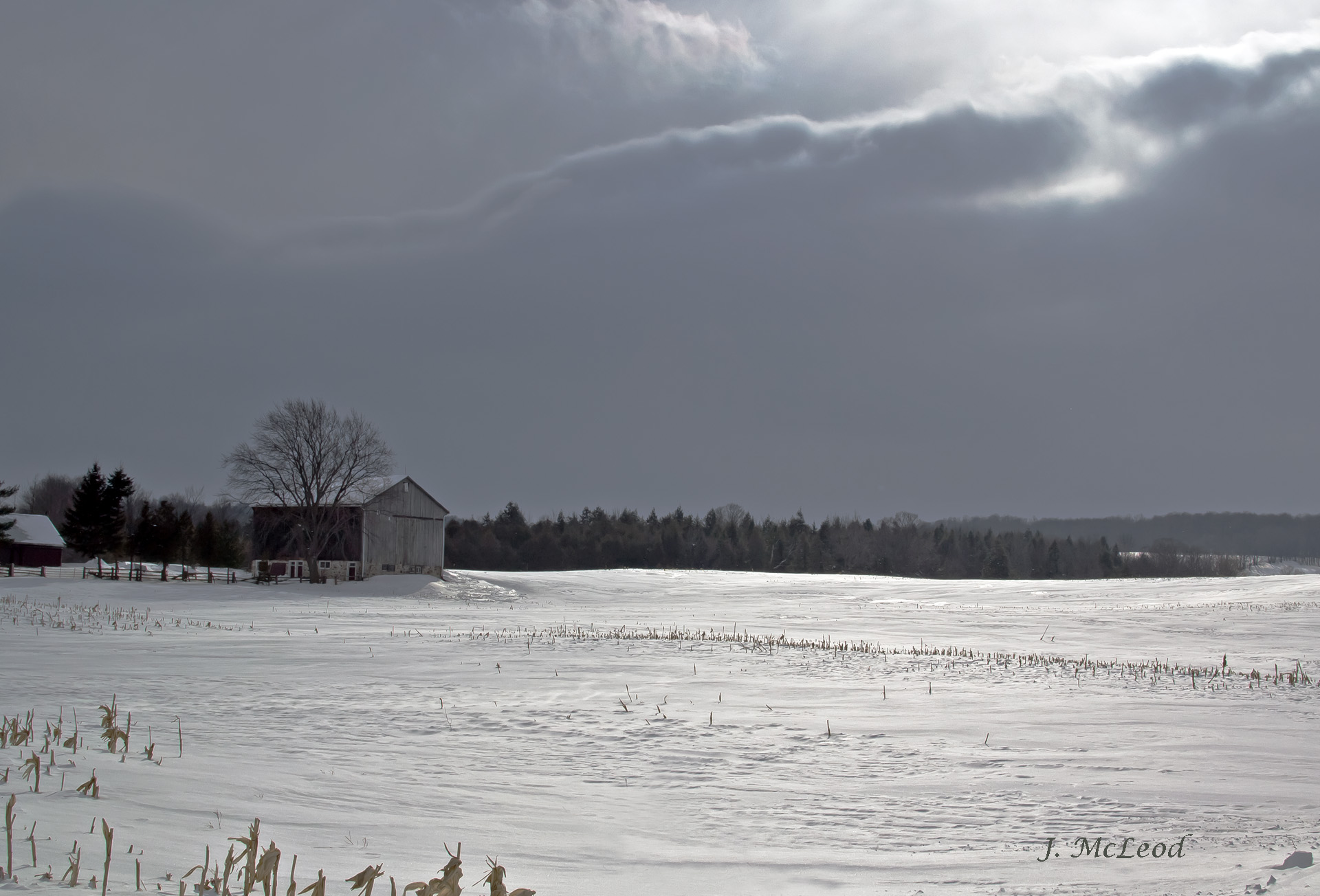
Winter Light
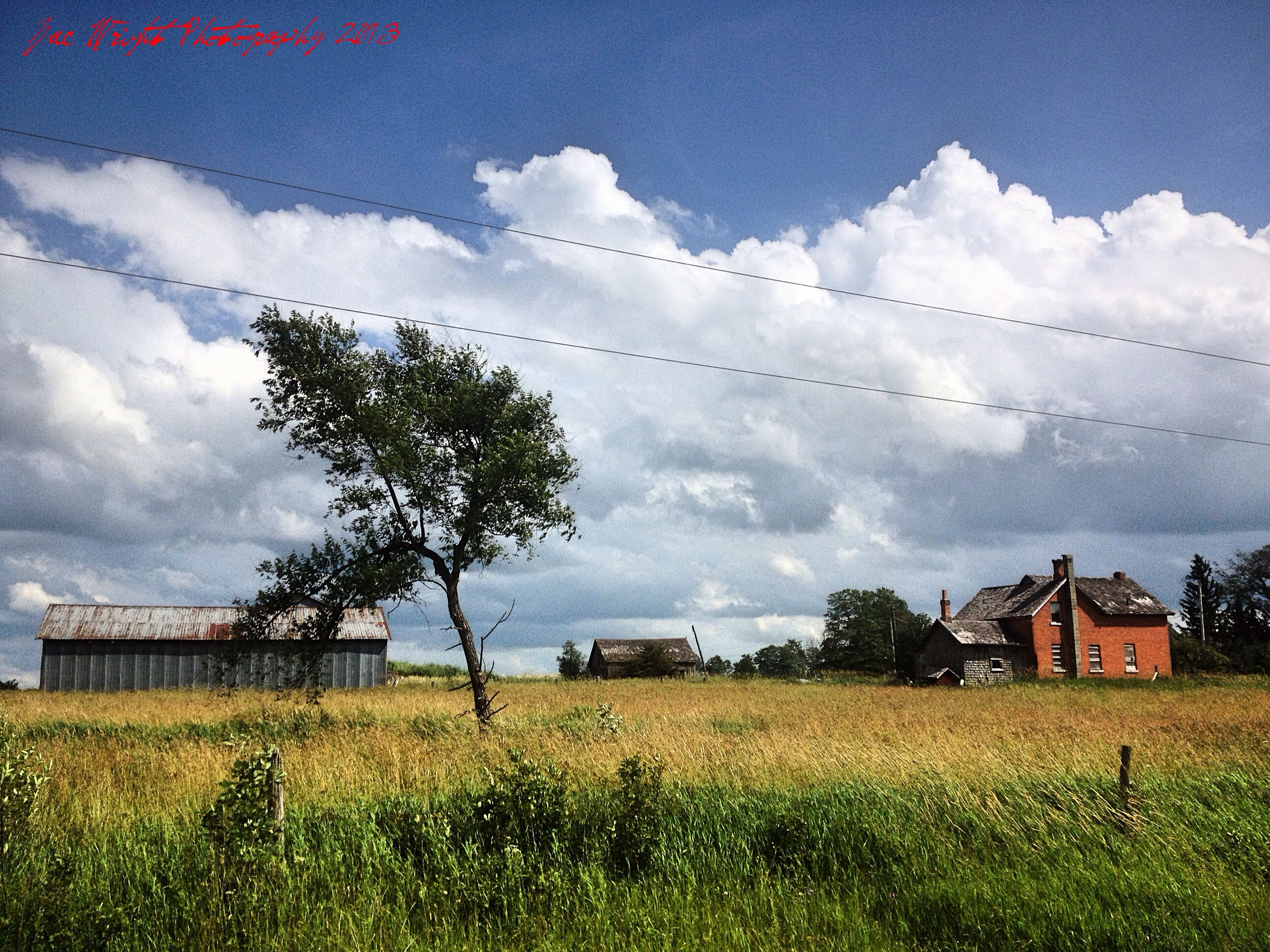
Driving around with Christina. July 10th 2013.

a tree thought
Blue Mountain Panorama from Glen Huron Sideroad
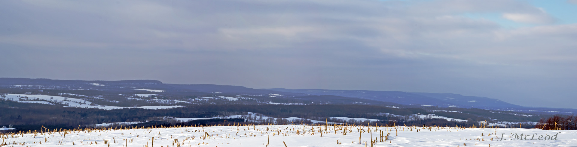
Winter Recedes
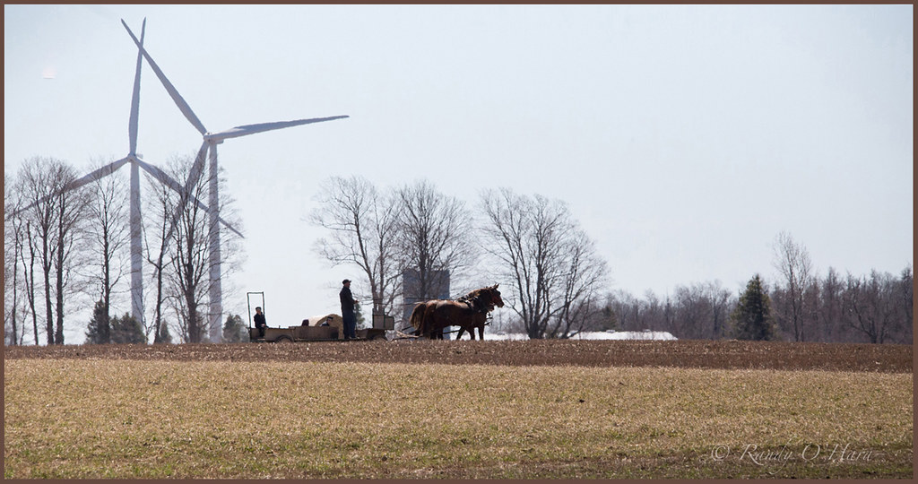
Horse Drawn

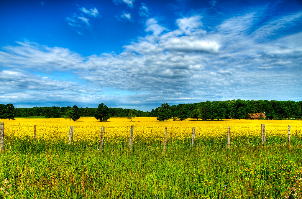
Canola Field
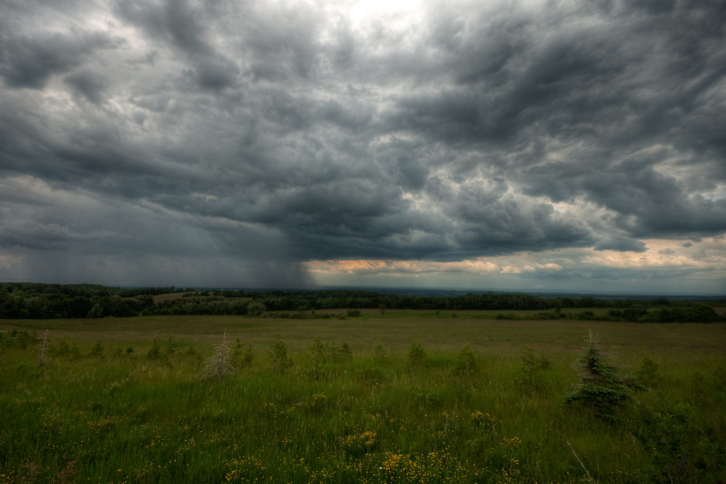
The Colours of Grey
Topographic Map of Grey County Rd 4, Singhampton, ON N0C 1M0, Canada
Find elevation by address:

Places near Grey County Rd 4, Singhampton, ON N0C 1M0, Canada:
N0c 1m0
117 Lakeview Rd
468375 Grey Rd 31 - Simcoe Rd 95
794232 Grey Rd 31 - Simcoe Rd 95
794232 Grey Rd 31 - Simcoe Rd 95
794232 Grey Rd 31 - Simcoe Rd 95
794232 Grey Rd 31 - Simcoe Rd 95
Singhampton
18 Mill Town Rd
Grey Road 31 - Simcoe Road 95
554029 Rd 55
122 Eagle Crescent
Devils Glen Provincial Park
Feversham
8339 Sideroad 30 & 31 Nottawasaga
3001 Simcoe County Rd 124
Duntroon
569341 Side Rd 6
569341 Side Rd 6
595419 4 Line
Recent Searches:
- Elevation of Felindre, Swansea SA5 7LU, UK
- Elevation of Leyte Industrial Development Estate, Isabel, Leyte, Philippines
- Elevation of W Granada St, Tampa, FL, USA
- Elevation of Pykes Down, Ivybridge PL21 0BY, UK
- Elevation of Jalan Senandin, Lutong, Miri, Sarawak, Malaysia
- Elevation of Bilohirs'k
- Elevation of 30 Oak Lawn Dr, Barkhamsted, CT, USA
- Elevation of Luther Road, Luther Rd, Auburn, CA, USA
- Elevation of Unnamed Road, Respublika Severnaya Osetiya — Alaniya, Russia
- Elevation of Verkhny Fiagdon, North Ossetia–Alania Republic, Russia