Elevation of Snowside Mountain, Central Coast A, BC V0T, Canada
Location: Canada > British Columbia > Central Coast > Central Coast A >
Longitude: -126.38833
Latitude: 52.1066666
Elevation: 2953m / 9688feet
Barometric Pressure: 71KPa
Elevation Map:
Satellite Map:
Related Photos:
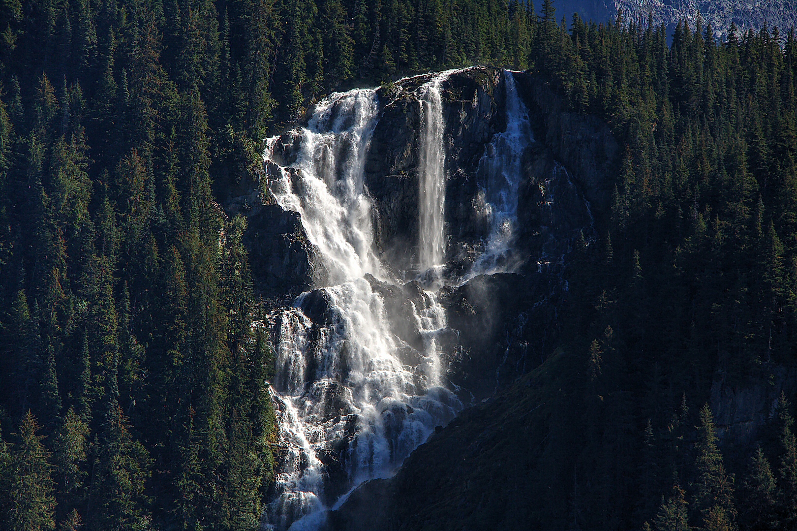
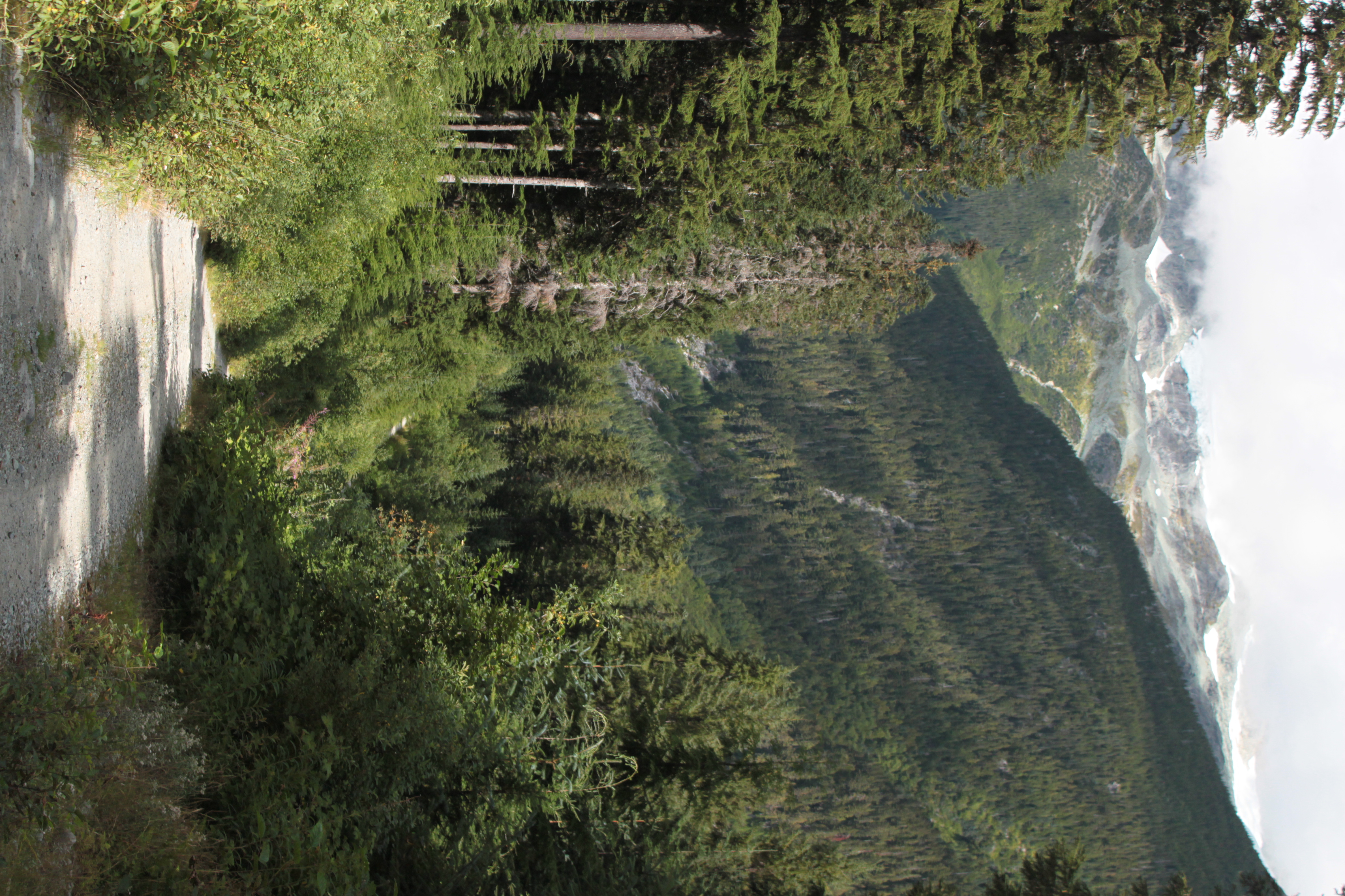
September 2014 Road Trip - Bella Coola
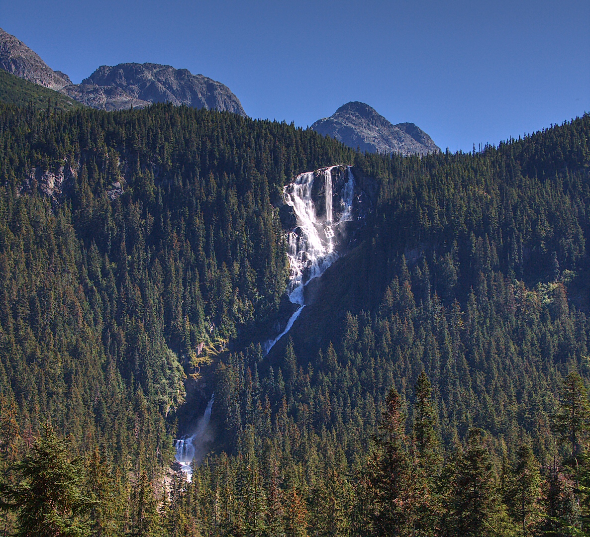
September 2014 Road Trip - Bella Coola

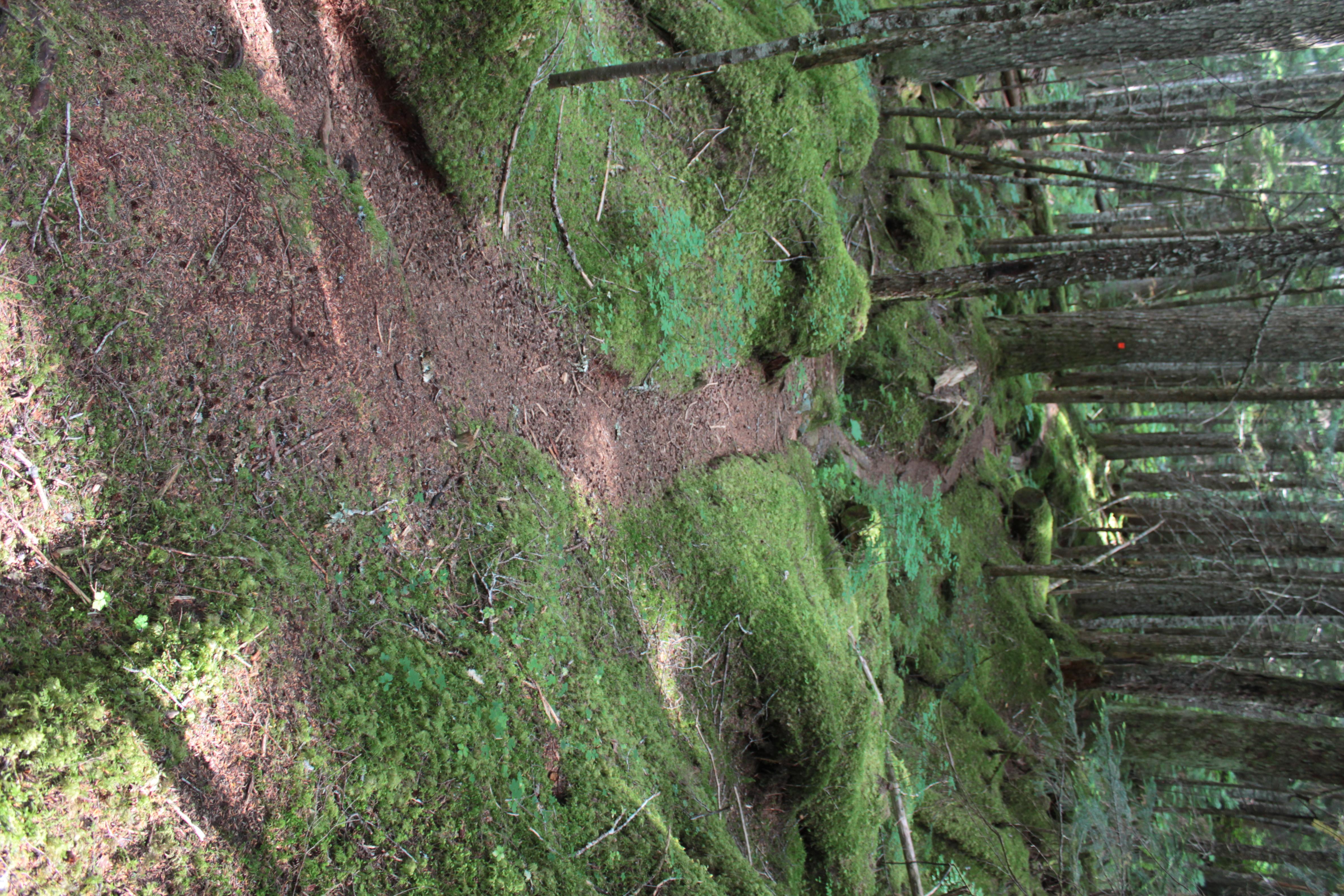
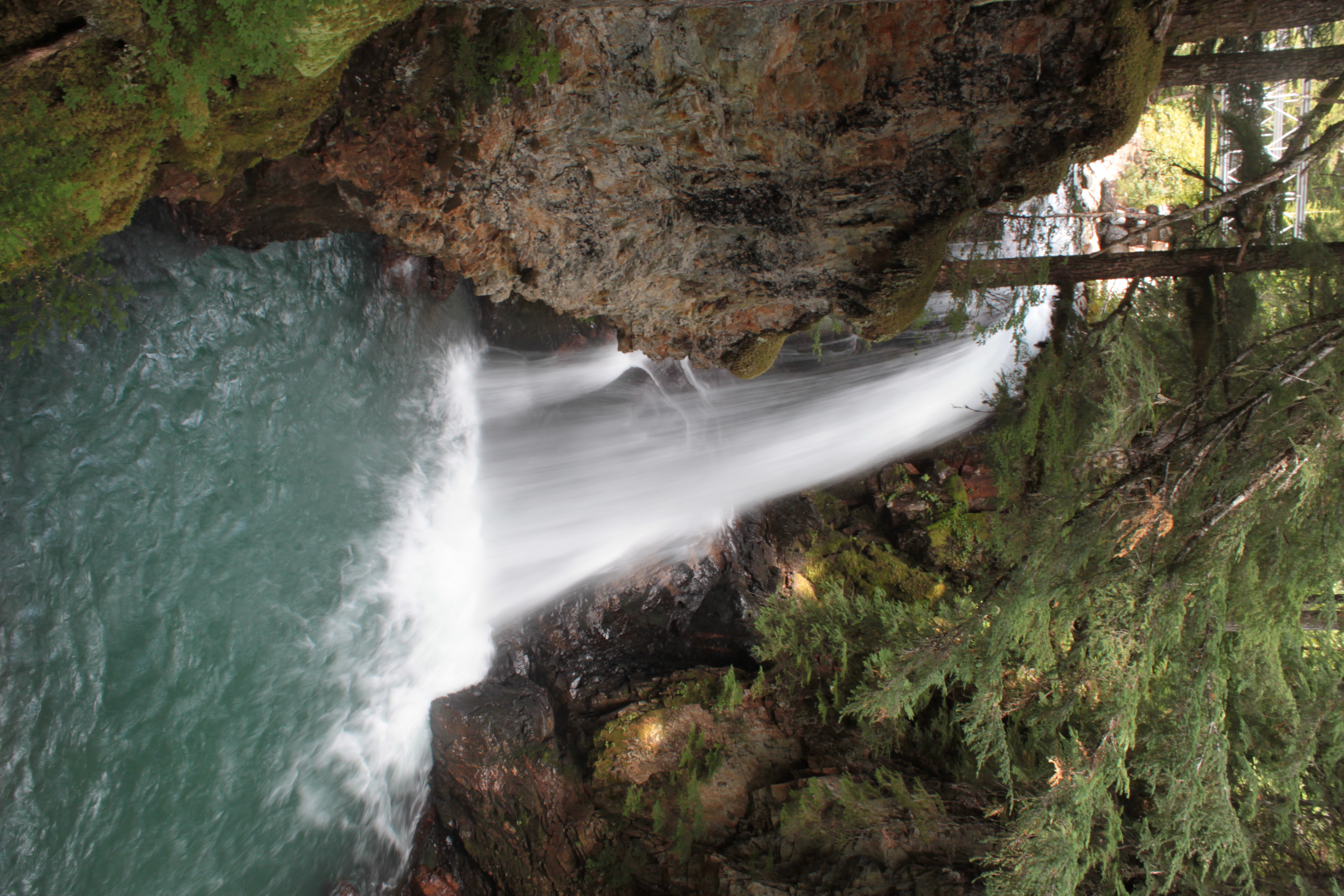
Hiking Bella Coola

Hiking Bella Coola

Hiking Bella Coola
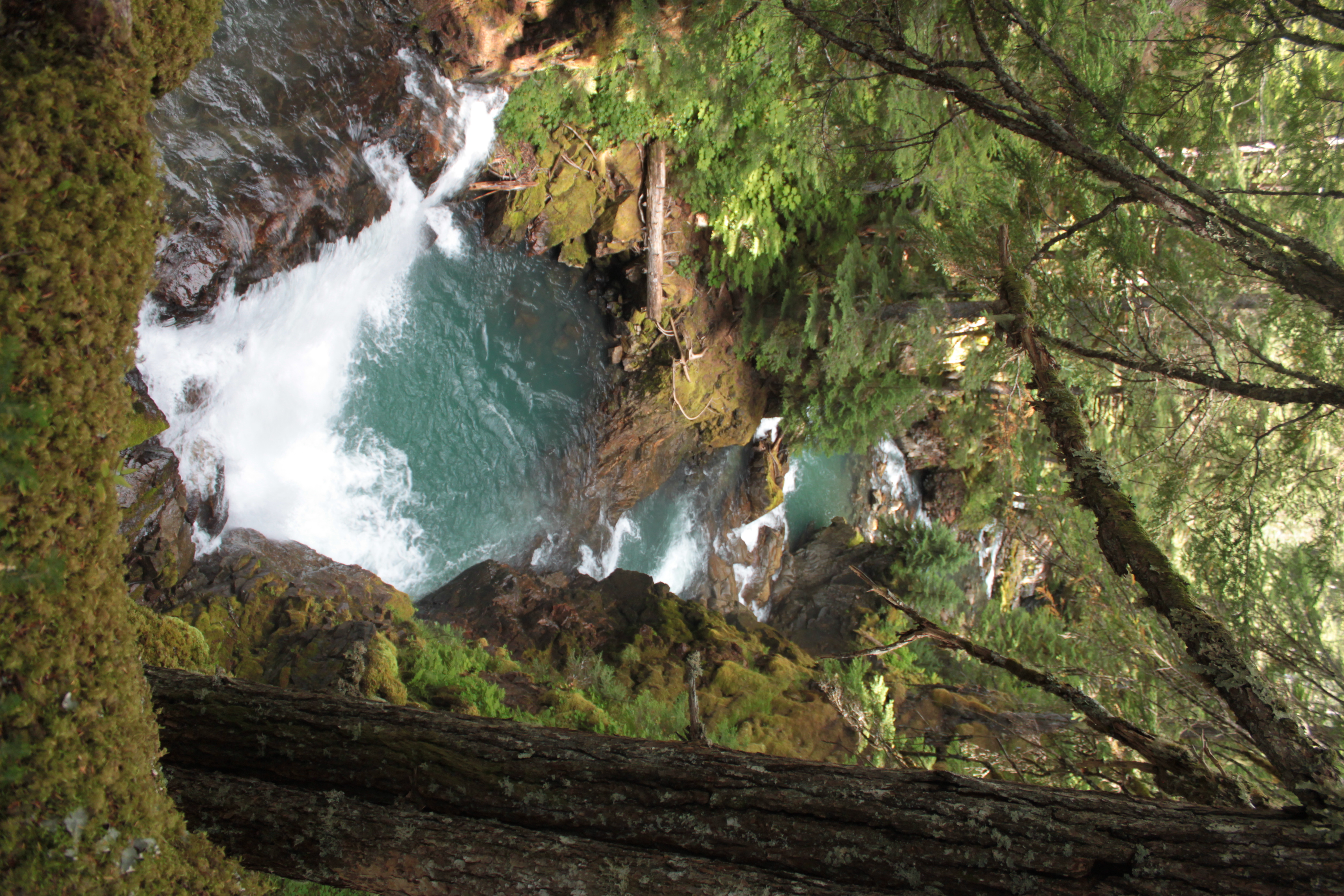
20150819-007
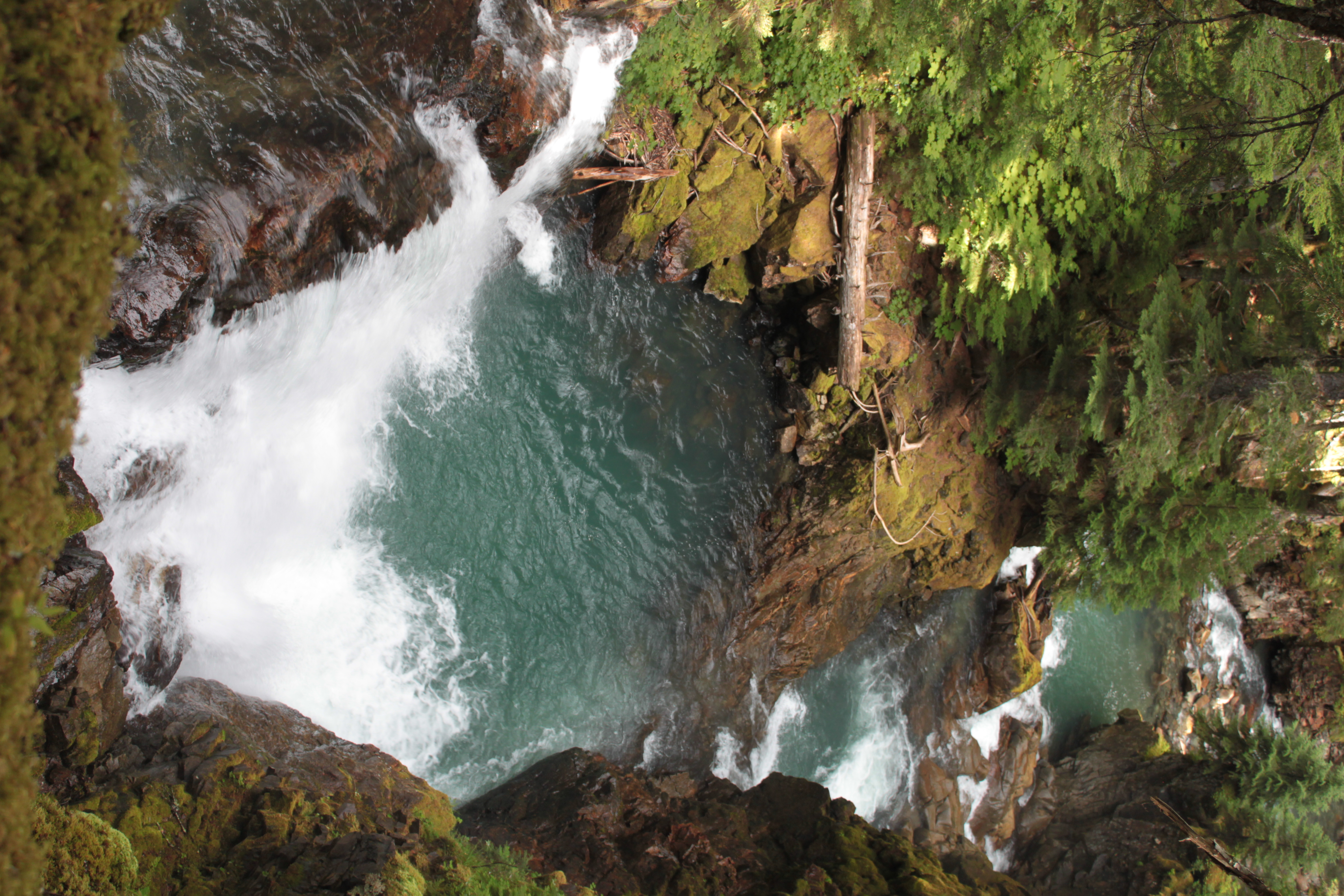
20150819-008
20150819-011
20150819-009
20150819-035
Topographic Map of Snowside Mountain, Central Coast A, BC V0T, Canada
Find elevation by address:

Places near Snowside Mountain, Central Coast A, BC V0T, Canada:
Ape Lake
The Horn
Nusatsum Mountain
Hagensborg
Stupendous Mountain
Talchako Mountain
Afon Talchako
Tweedsmuir Park Lodge
Stuie
Ape Creek
Thunder Mountain
Central Coast C
Talchako R
Tweedsmuir South Provincial Park
Mount Ada
Recent Searches:
- Elevation of Corso Fratelli Cairoli, 35, Macerata MC, Italy
- Elevation of Tallevast Rd, Sarasota, FL, USA
- Elevation of 4th St E, Sonoma, CA, USA
- Elevation of Black Hollow Rd, Pennsdale, PA, USA
- Elevation of Oakland Ave, Williamsport, PA, USA
- Elevation of Pedrógão Grande, Portugal
- Elevation of Klee Dr, Martinsburg, WV, USA
- Elevation of Via Roma, Pieranica CR, Italy
- Elevation of Tavkvetili Mountain, Georgia
- Elevation of Hartfords Bluff Cir, Mt Pleasant, SC, USA