Elevation of Smith Rd, Jasper, NY, USA
Location: United States > New York > Steuben County > Jasper > Jasper >
Longitude: -77.463263
Latitude: 42.107999
Elevation: 472m / 1549feet
Barometric Pressure: 96KPa
Elevation Map:
Satellite Map:
Related Photos:

D&H 2303 Browns Crossing
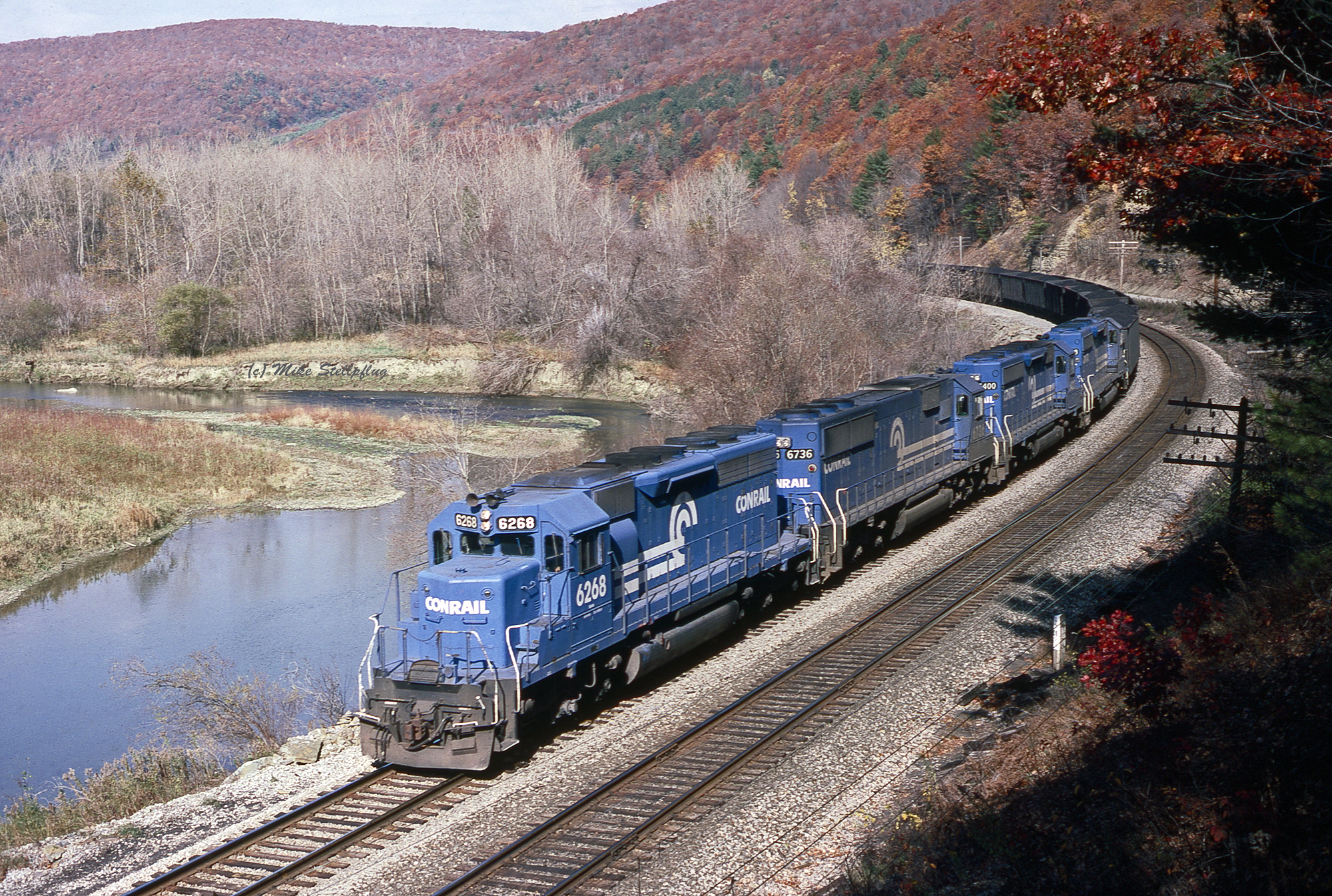
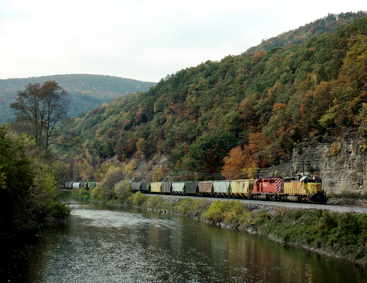
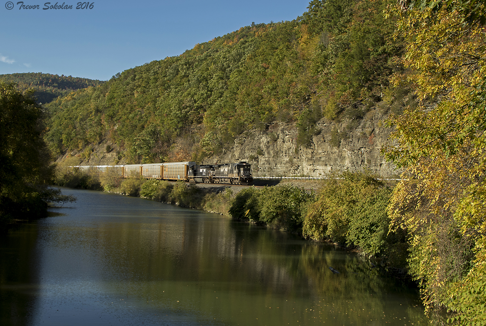
River View
Shows Potential
DLW 1074 CAM
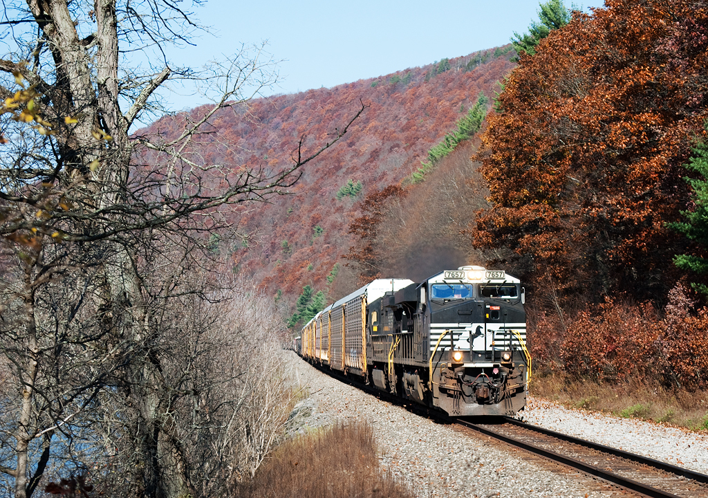
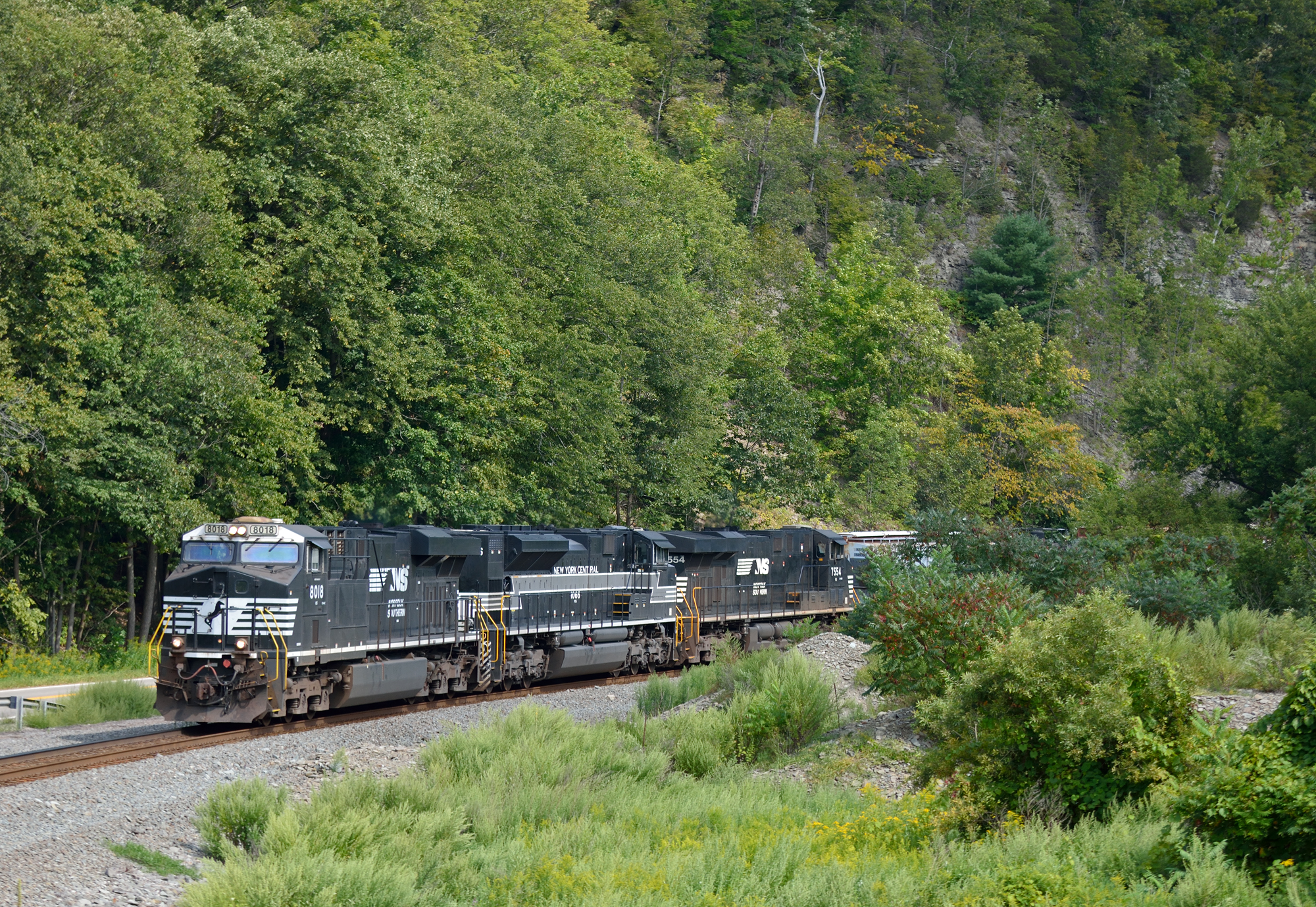
NS 7657
Saunders Road
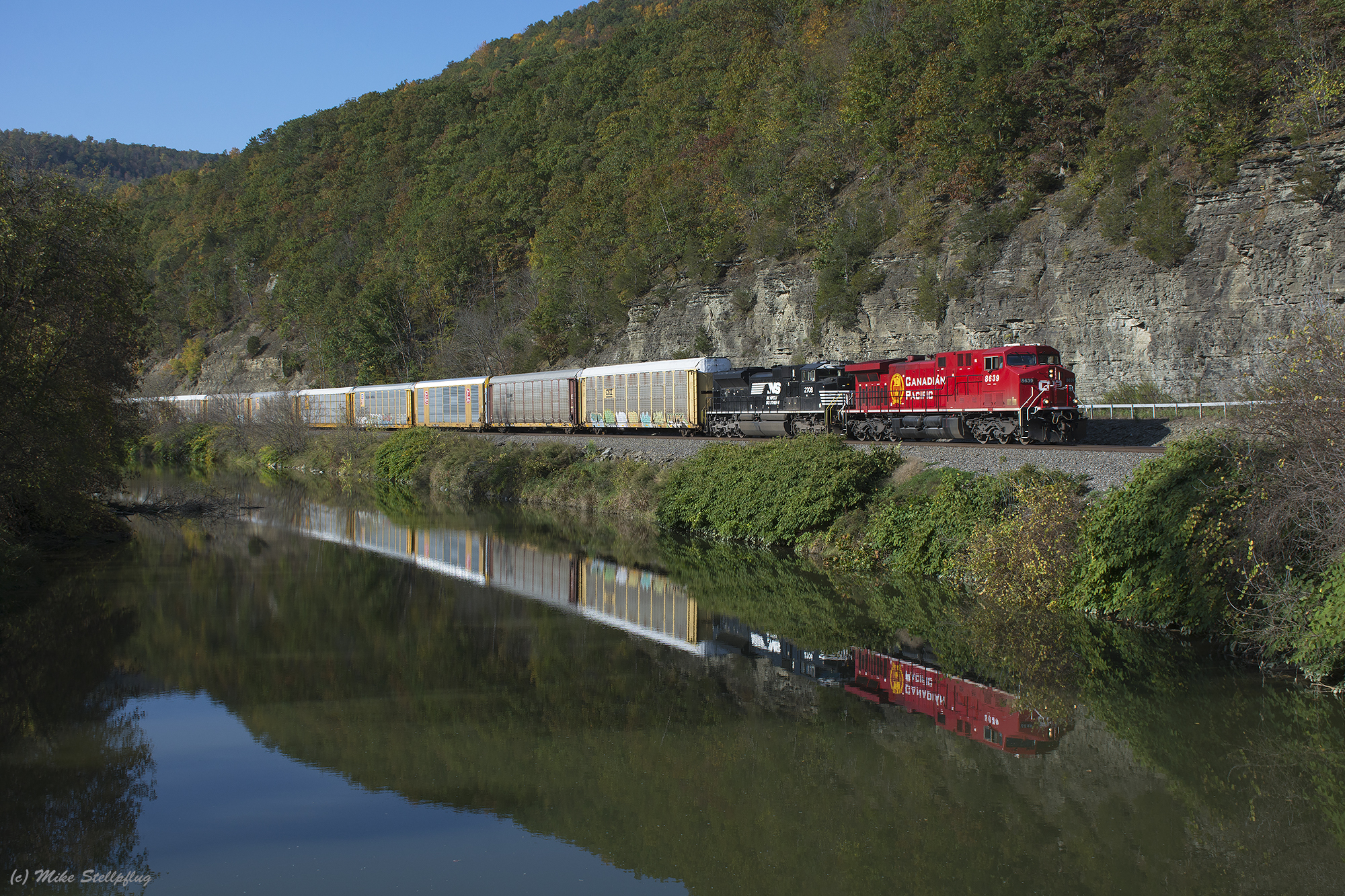
CP 8639 Browns Crossing
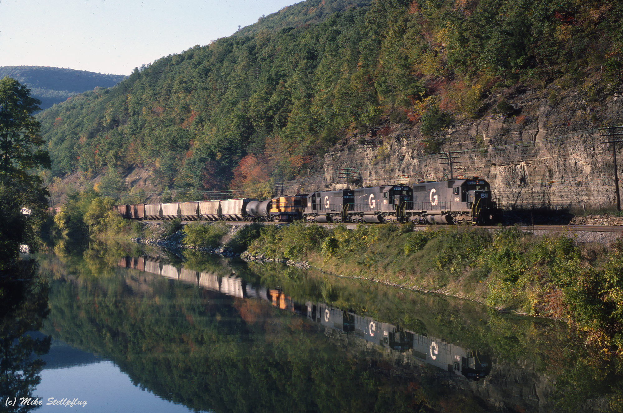
B&M 692 Browns Crossing
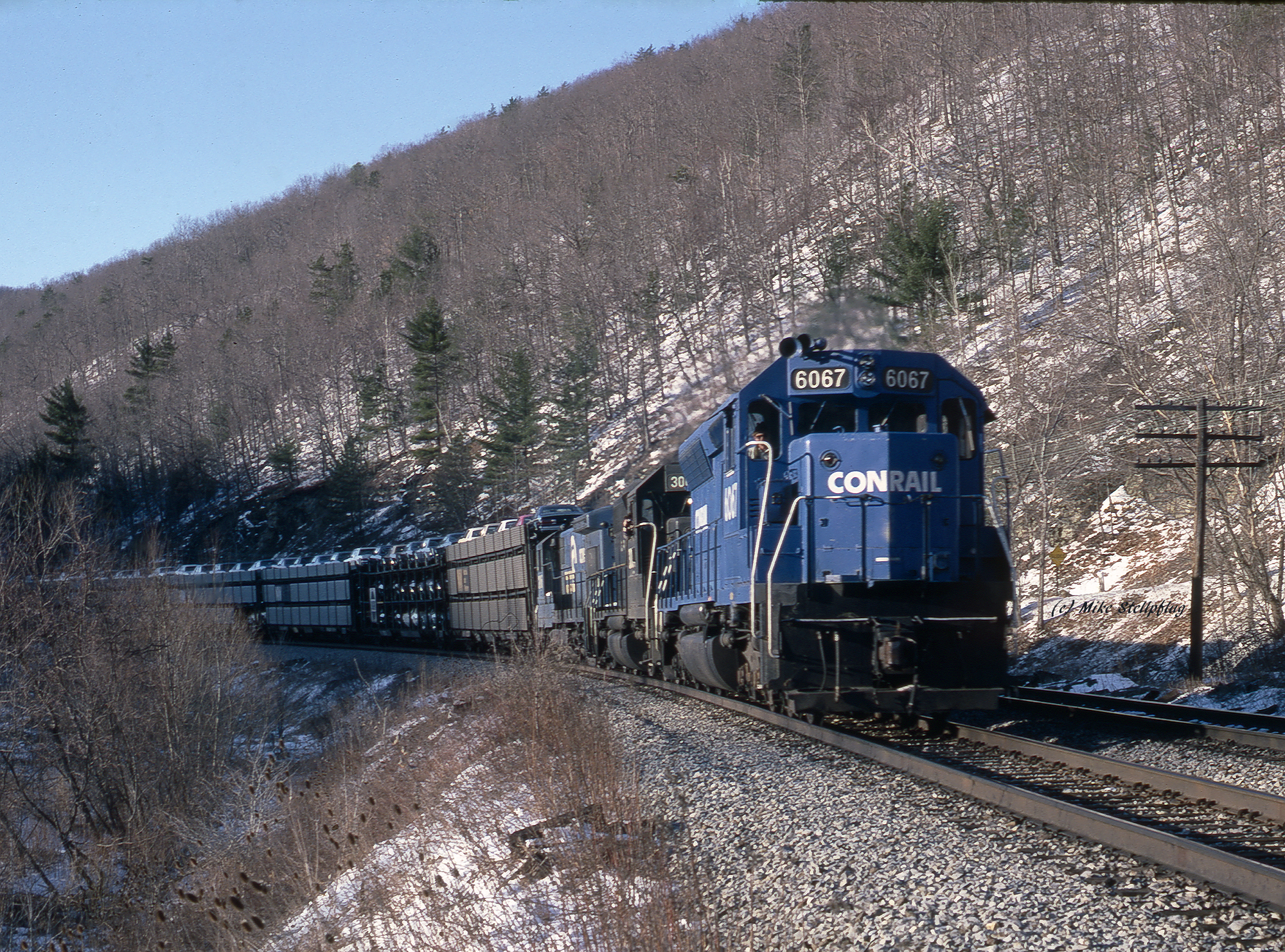
Conrail 6067 West Cameron
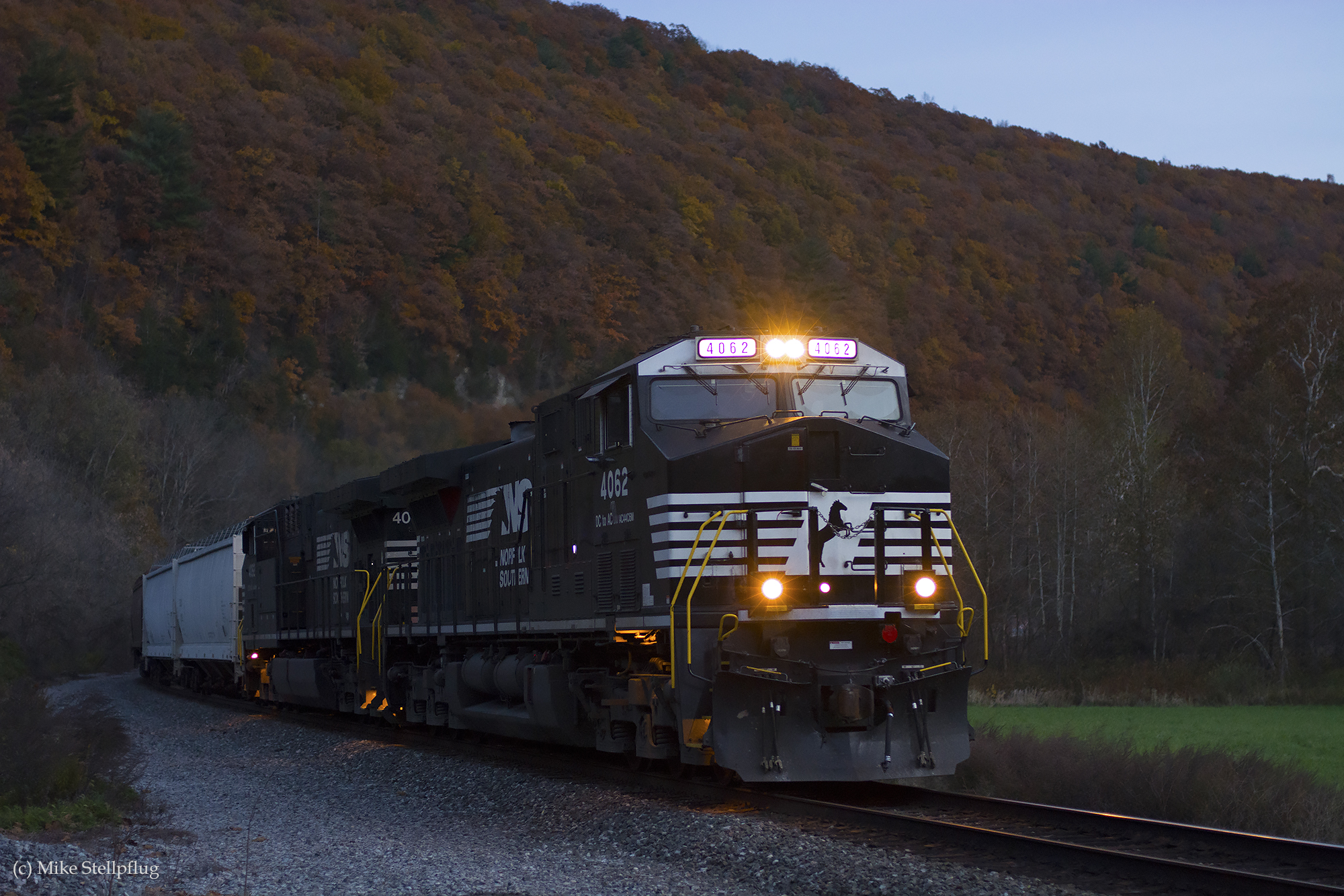
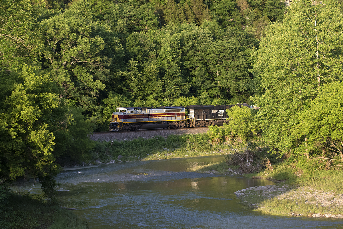
NS 4062 CAM
AdrianNY Sunday 1992-10-11 1742EDT P-0910
Wabash 1070 River
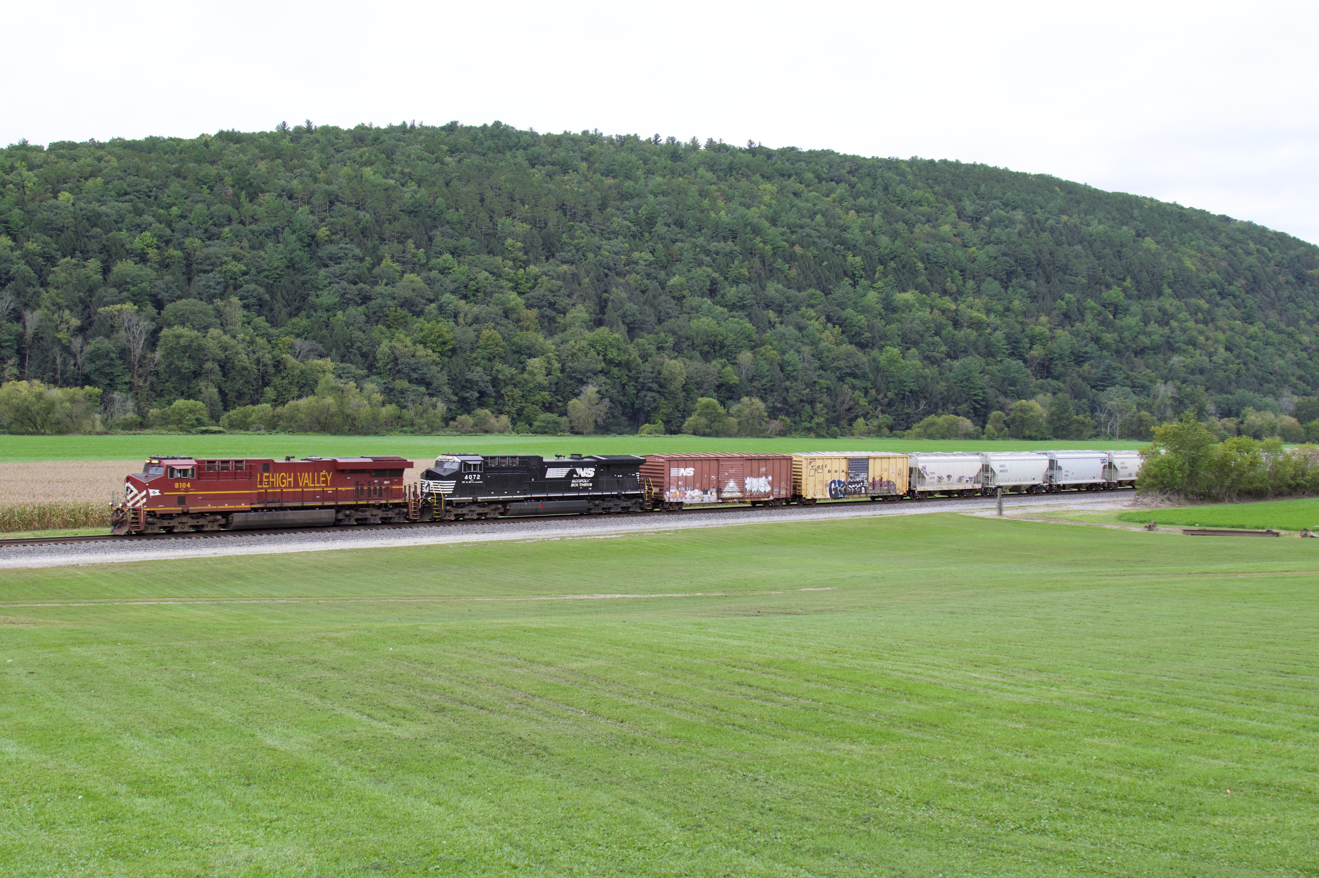
NS 8104
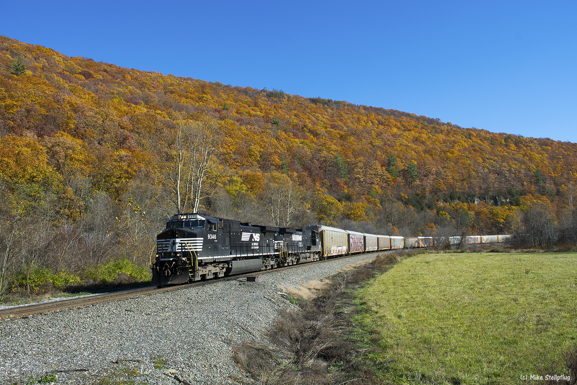
NS 9346 CAM
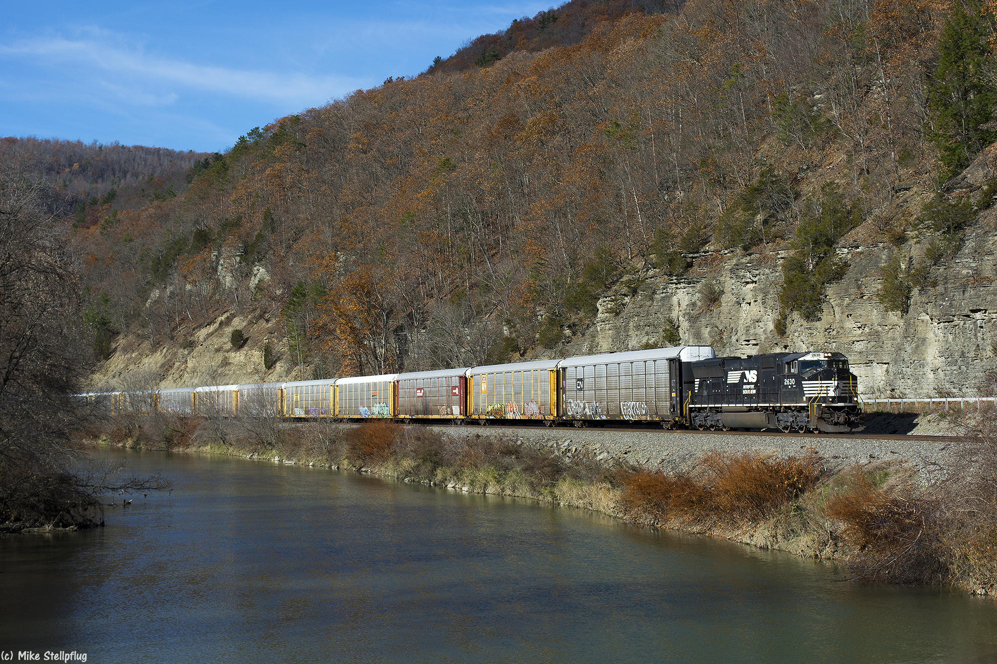
NS 2630 Browns Crossing
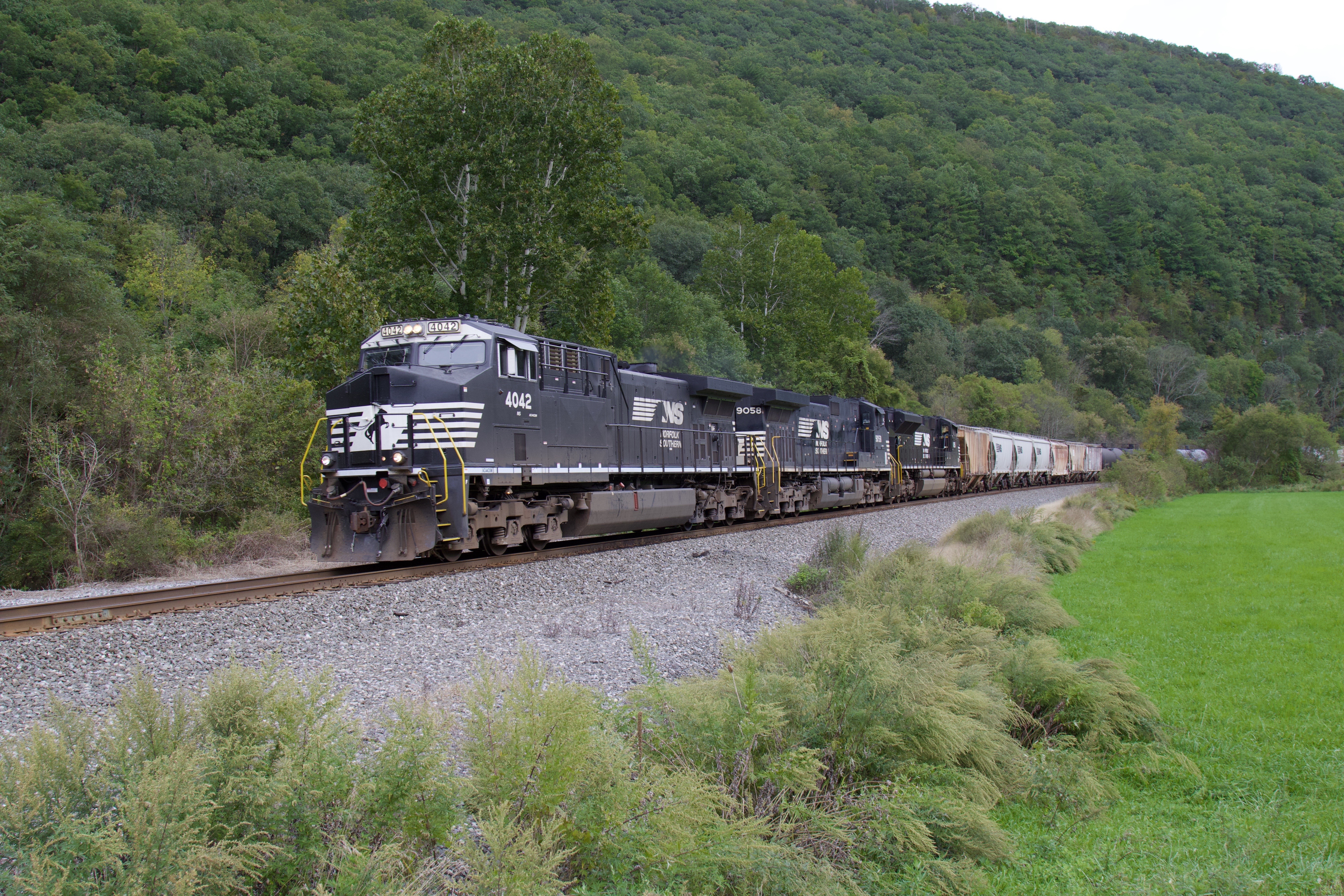
NS 4042
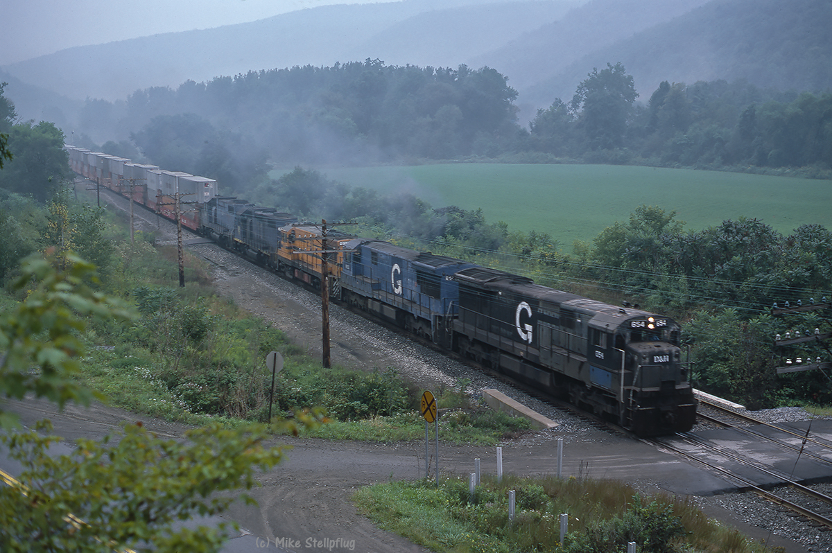
D&H 654 Browns Crossing
Nice Hat

NYSW 3630 River
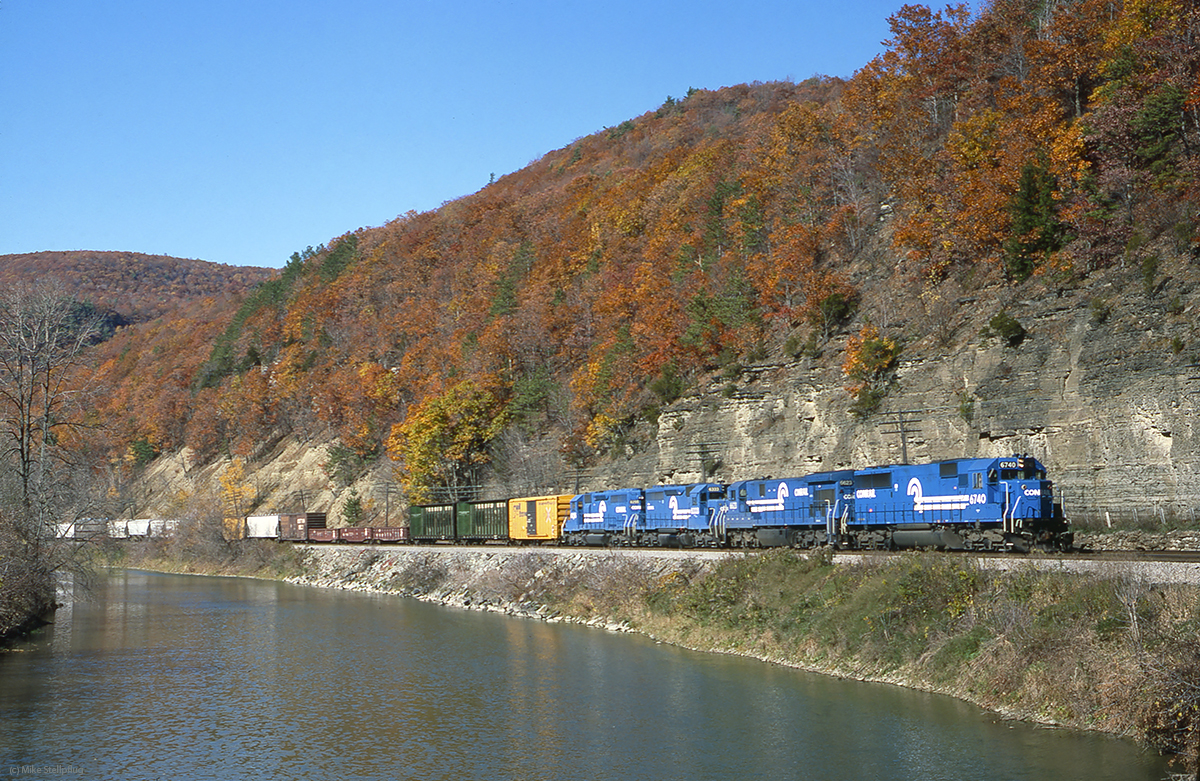
CR 6740 river
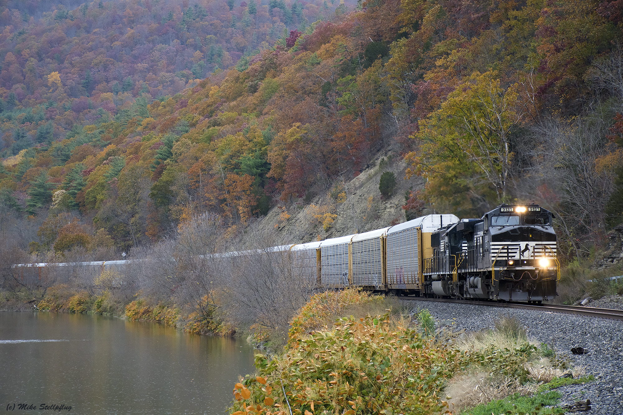
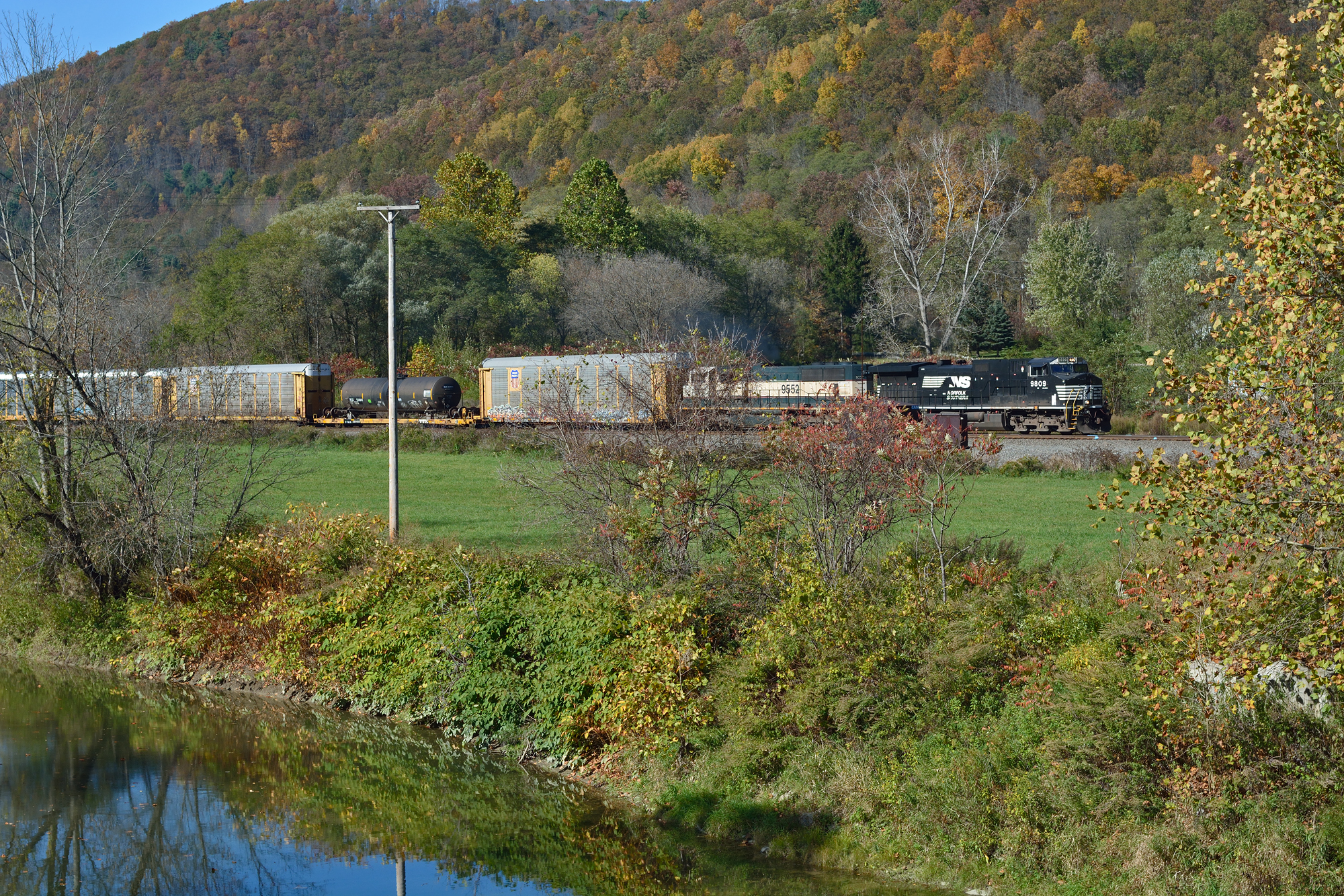
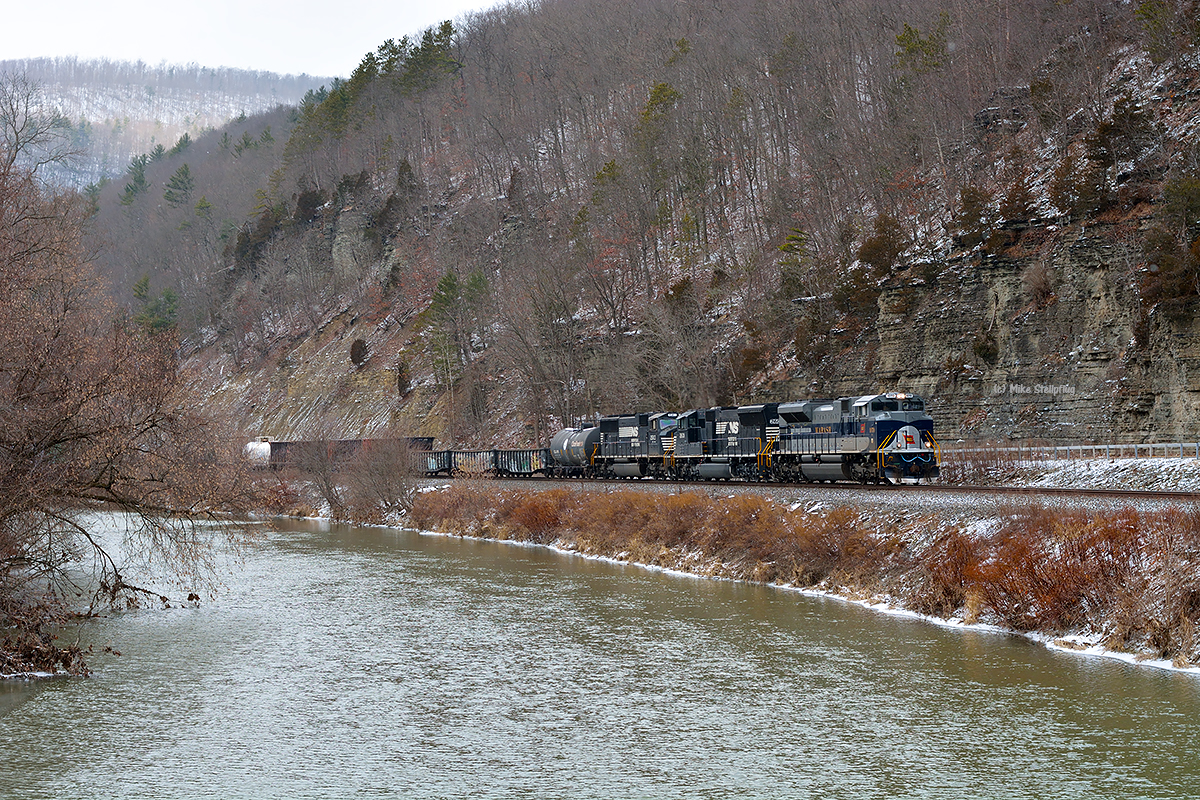
NS 9131 Canisteo River

NS 36T @ Addison
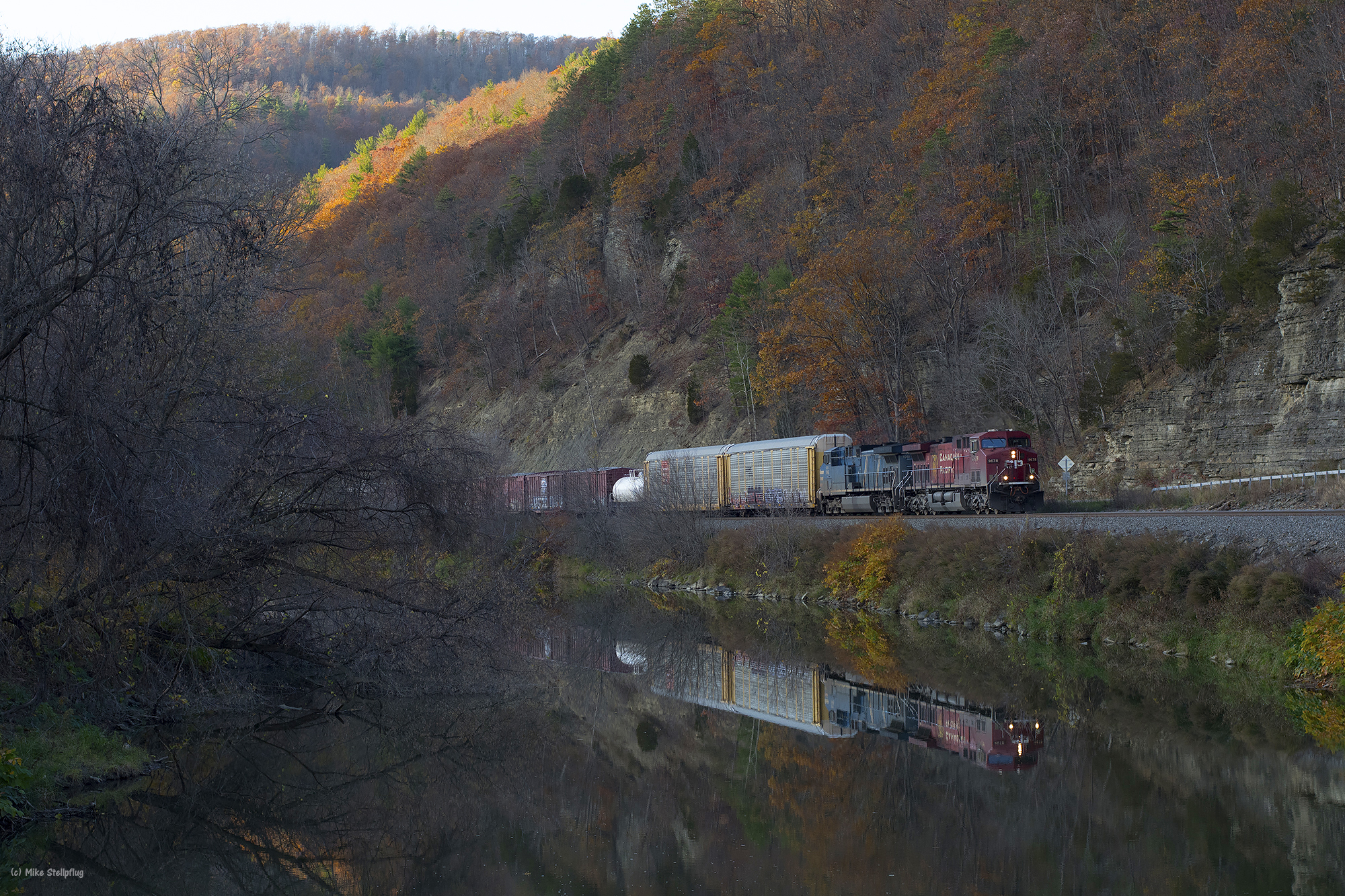
CP 9678 Canisteo River

IT 1072 church
Topographic Map of Smith Rd, Jasper, NY, USA
Find elevation by address:

Places near Smith Rd, Jasper, NY, USA:
Jasper
2245 Hunter Hill Rd
Main St, Woodhull, NY, USA
Jasper
Woodhull
S Church Rd, Cameron, NY, USA
Jackson Hill Road
3359 Ny-36
3359 Ny-36
4707 Cook Rd
Troupsburg
Grinnold Rd, Troupsburg, NY, USA
Troupsburg
Rathbone
2171 Ny-417
Mc Allister Rd, Troupsburg, NY, USA
Greenwood
Rough and Ready Rd, Rexville, NY, USA
Rexville
West Union
Recent Searches:
- Elevation of Calais Dr, Del Mar, CA, USA
- Elevation of Placer Mine Ln, West Jordan, UT, USA
- Elevation of E 63rd St, New York, NY, USA
- Elevation of Elk City, OK, USA
- Elevation of Erika Dr, Windsor, CA, USA
- Elevation of Village Ln, Finleyville, PA, USA
- Elevation of 24 Oakland Rd #, Scotland, ON N0E 1R0, Canada
- Elevation of Deep Gap Farm Rd E, Mill Spring, NC, USA
- Elevation of Dog Leg Dr, Minden, NV, USA
- Elevation of Dog Leg Dr, Minden, NV, USA