Elevation of Sleepy Hollow, Wake Forest, NC, USA
Location: United States > North Carolina > Wake County > Wake Forest > Wake Forest >
Longitude: -78.574014
Latitude: 36.038644
Elevation: 121m / 397feet
Barometric Pressure: 100KPa
Elevation Map:
Satellite Map:
Related Photos:

hey lady, you lookin' at me???
12605 Raven Ridge 103

12605 Raven Ridge 096
woman, do NOT miss this profile shot!
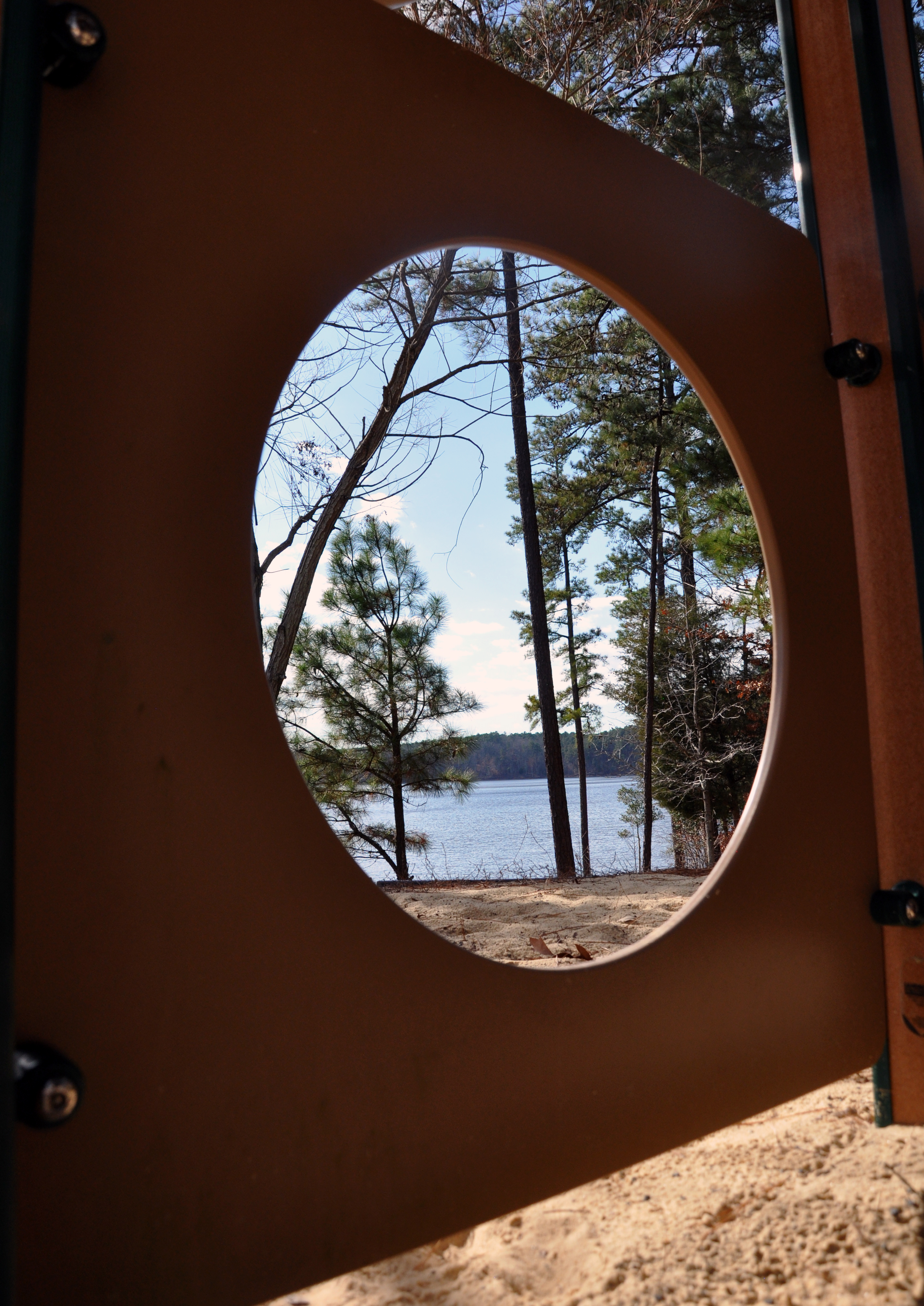
Playground porthole view, Falls Lake
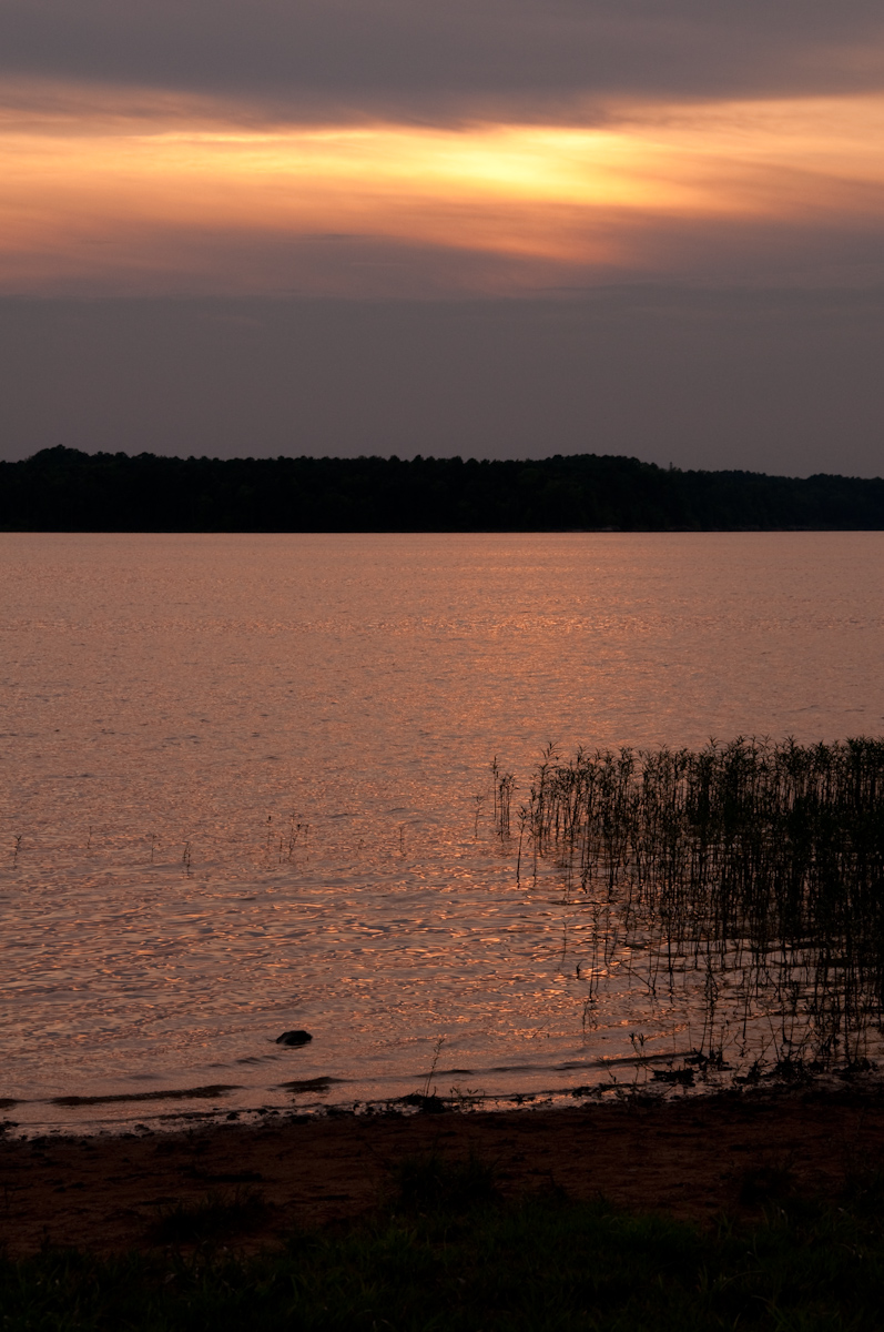
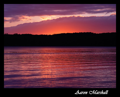
Falls Lake Sunset
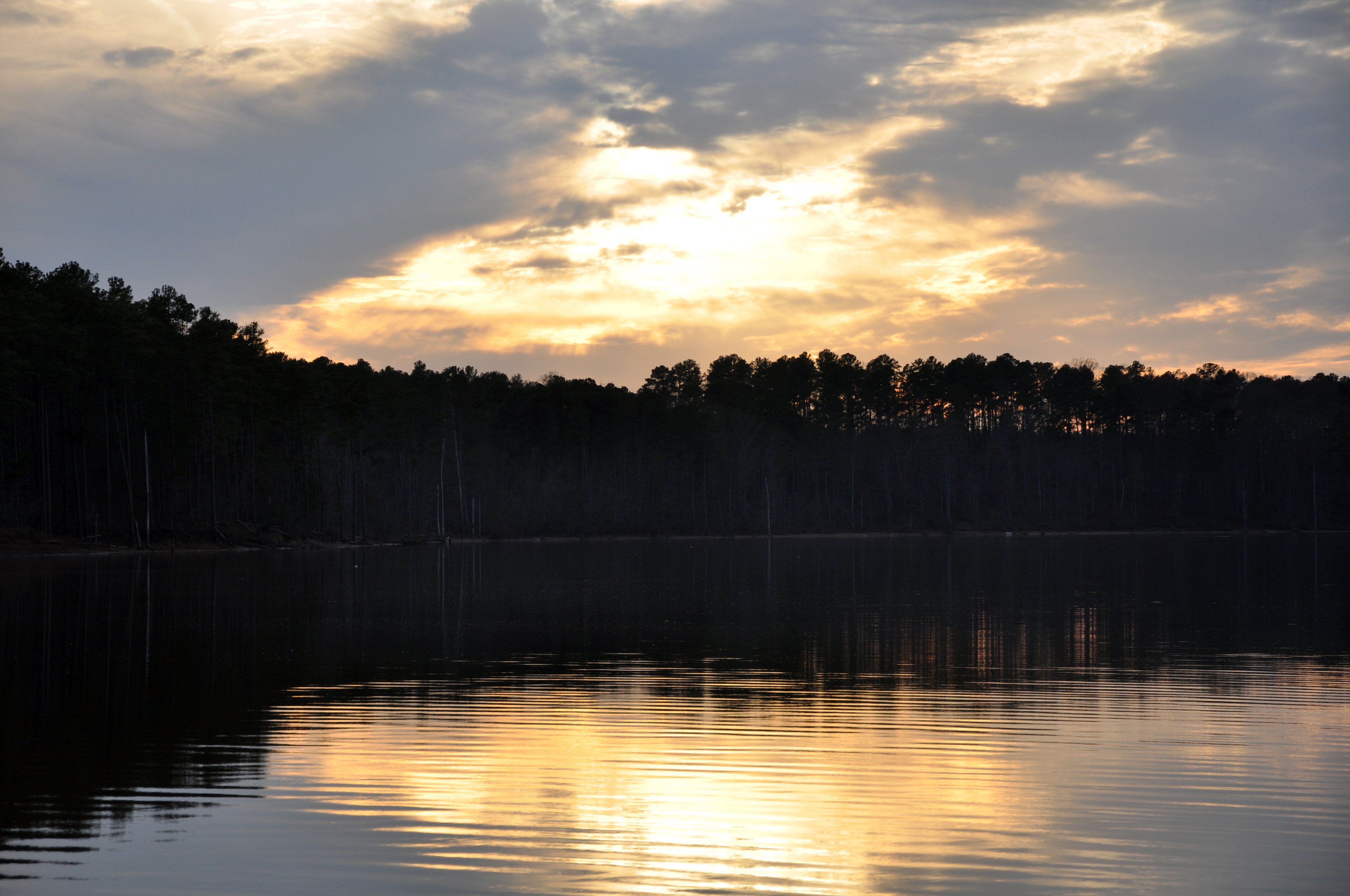
sunset, rolling view recreational area, falls lake

{Echo} Week 16- Meander
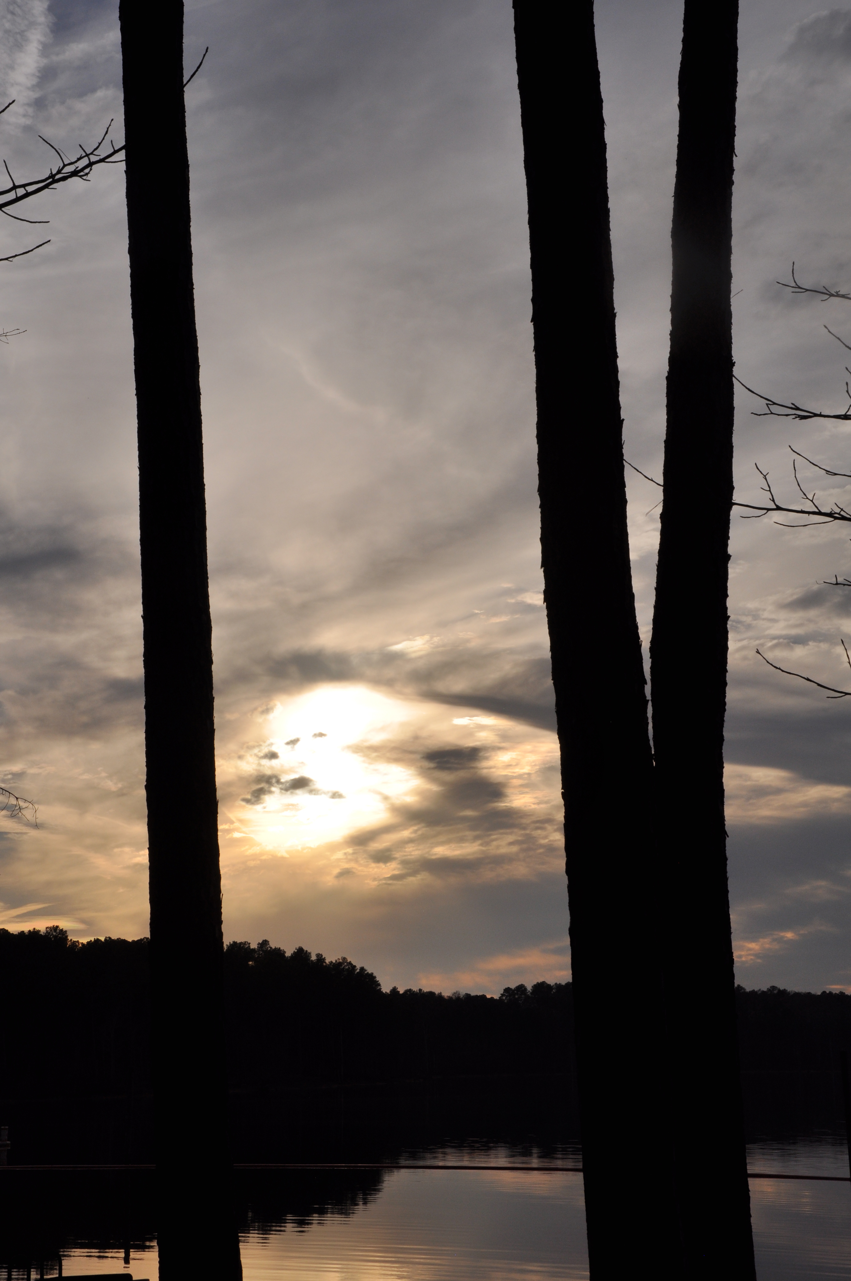
sunset, rolling view recreational area, falls lake

CSX F711 rumbles past the Restored Passenger Depot in Franklinton, NC
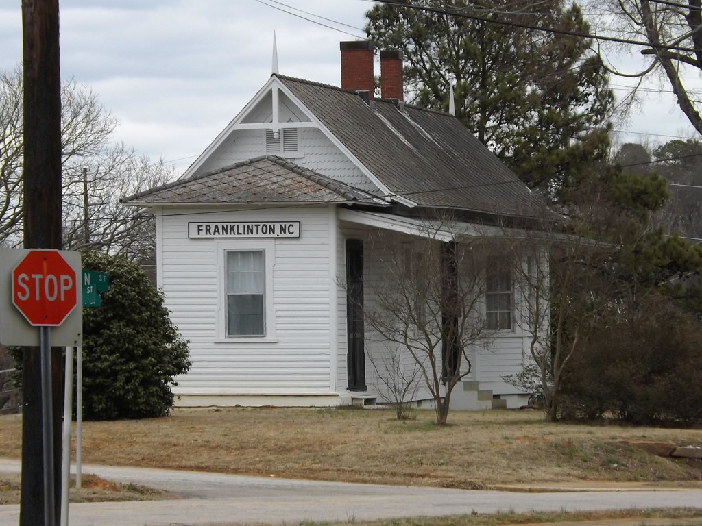
Restored Passenger Depot in Franklinton, NC
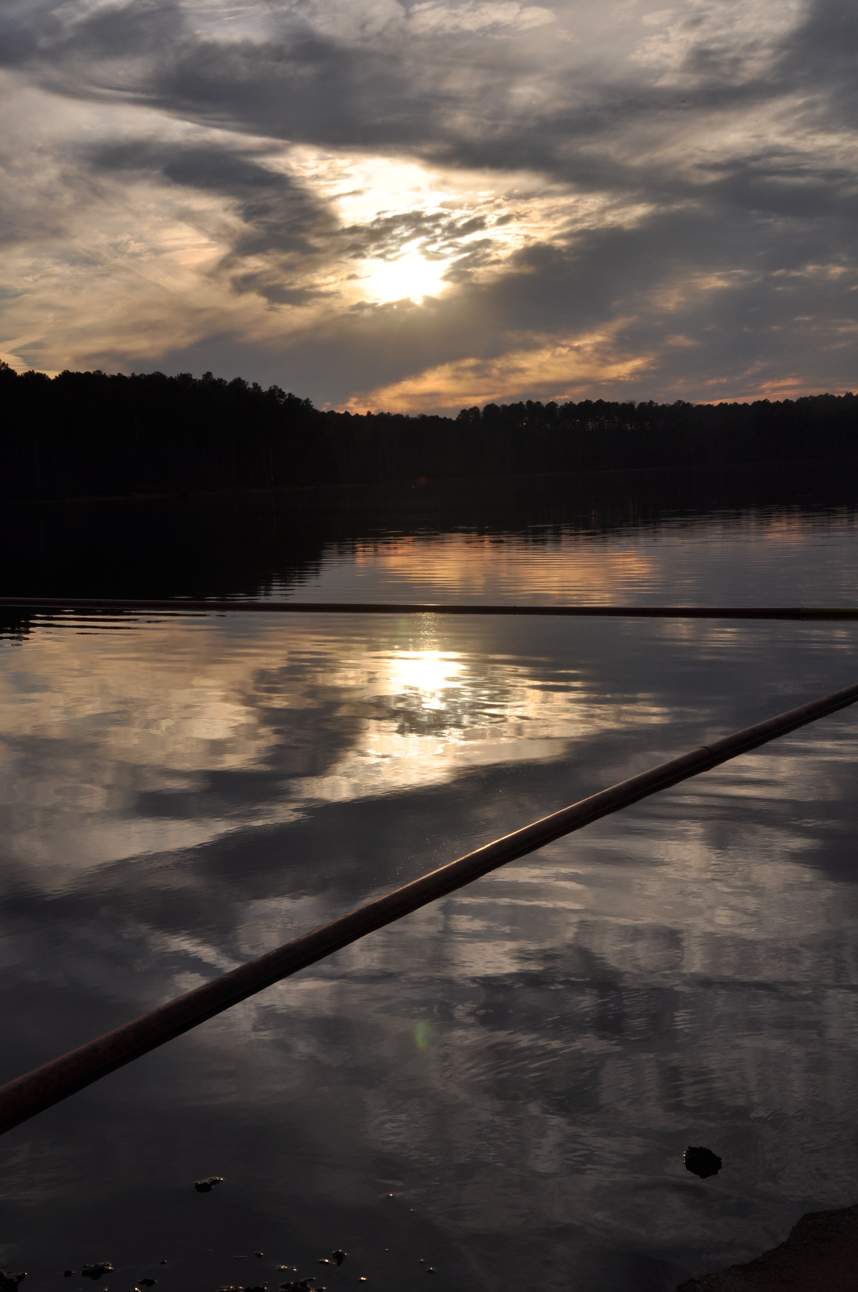
sunset, rolling view recreational area, falls lake
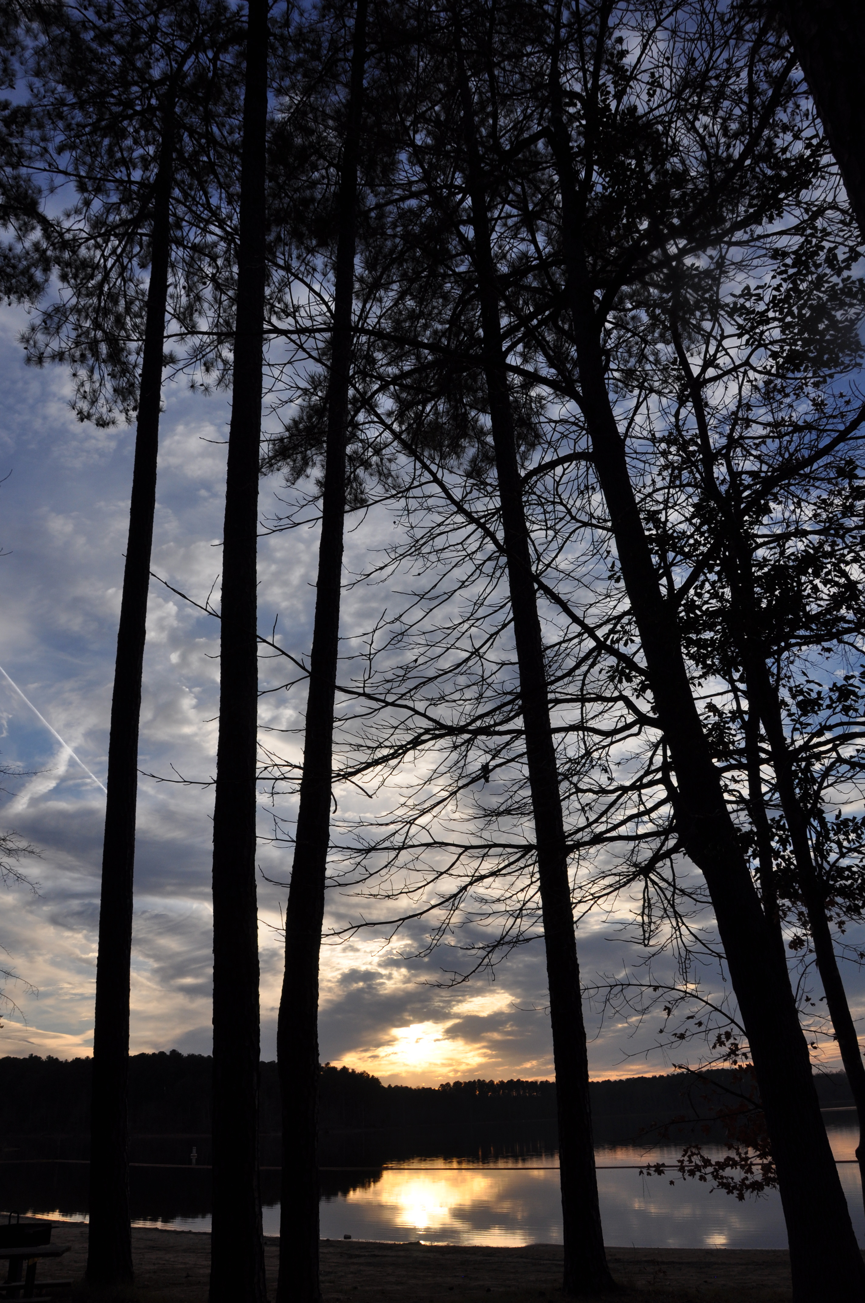
Sunset through the trees at Rolling View Recreational Area, Falls Lake
Jessica Roberts- Peak from the Trail to Falls Lake-V14-0036
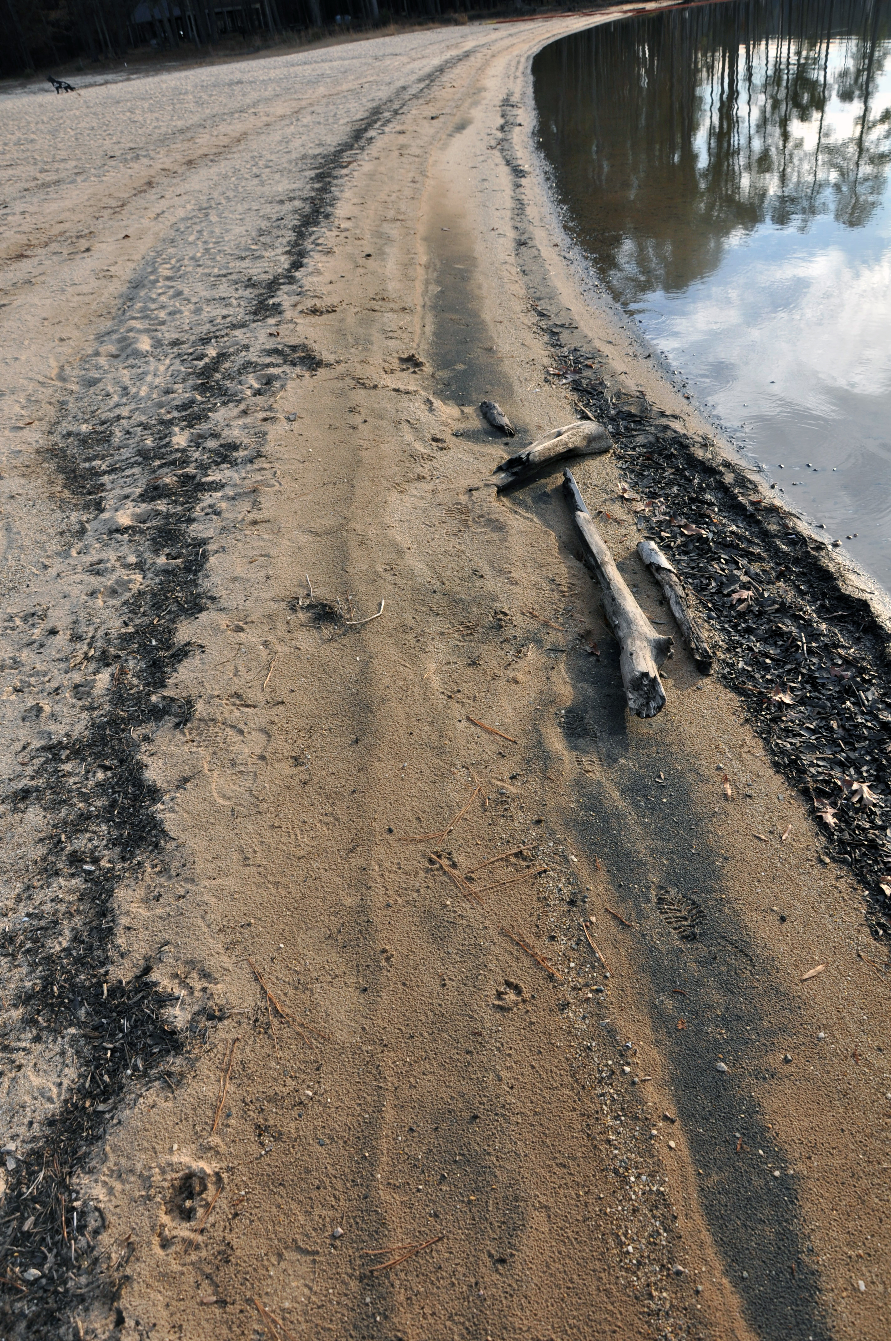
shoreline, rolling view recreational area, falls lake

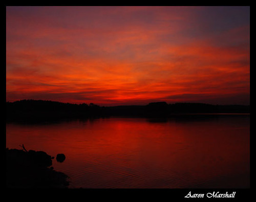
Sunset at Rolling View Recreational Area, Falls Lake
B.W. Wells State Recreation Area
B.W. Wells State Recreation Area
Neuse River Greenway bridge at Smith Creek Greenway
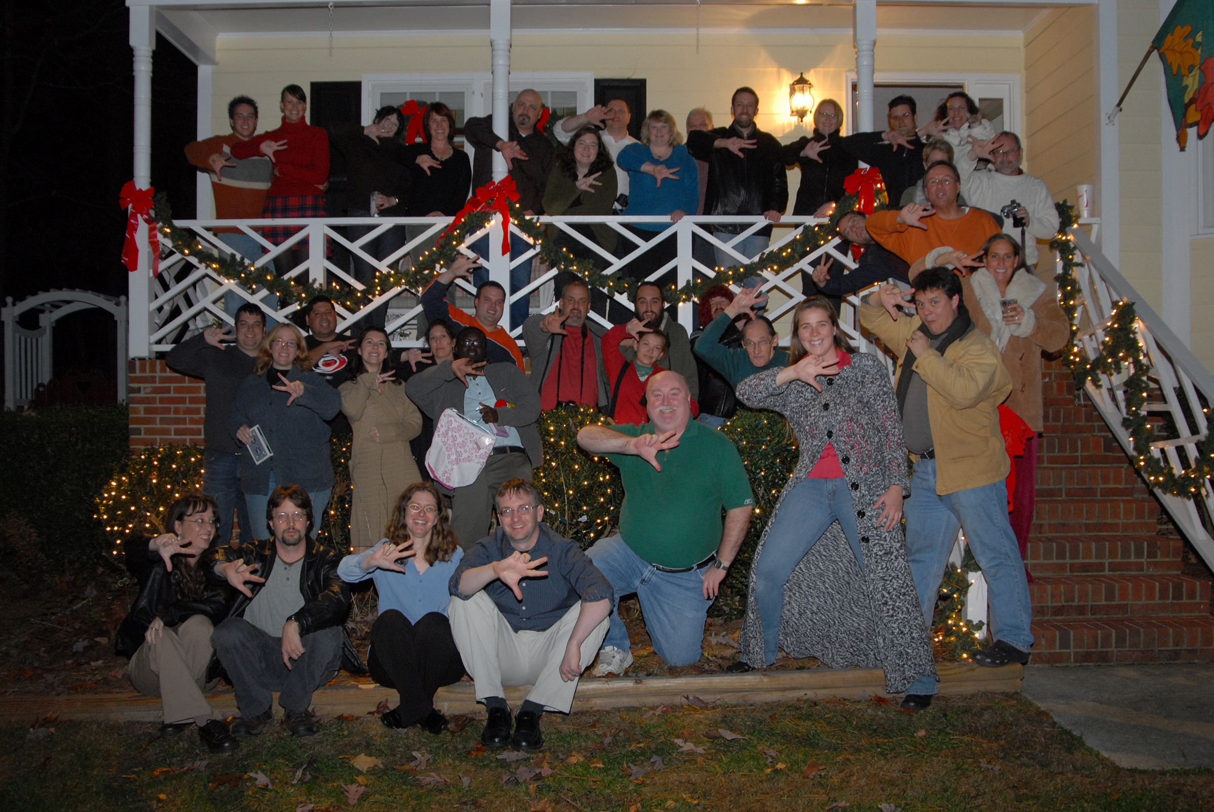
Raleigh Flickr Holiday Party

Back Splash, Megan 14

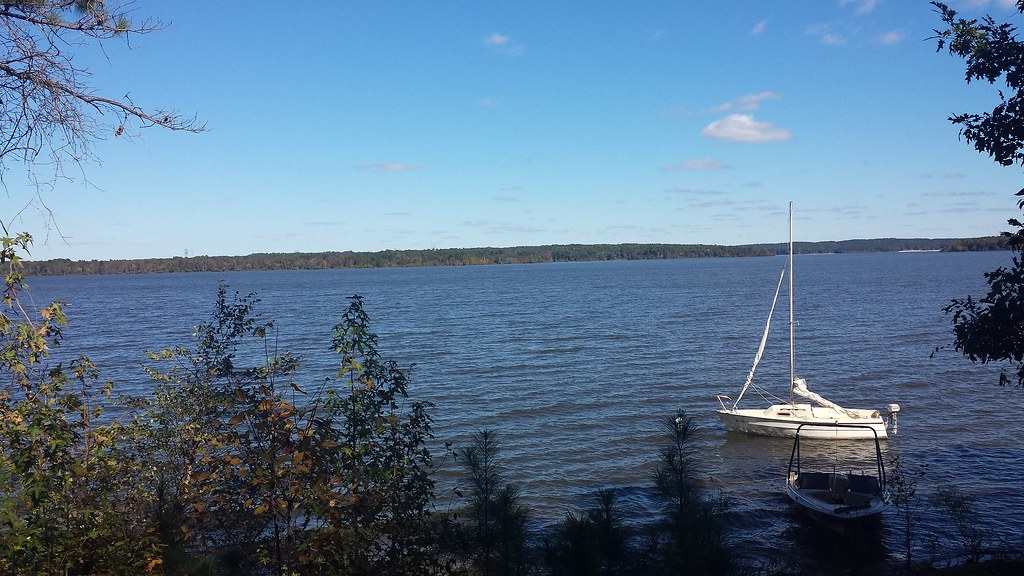
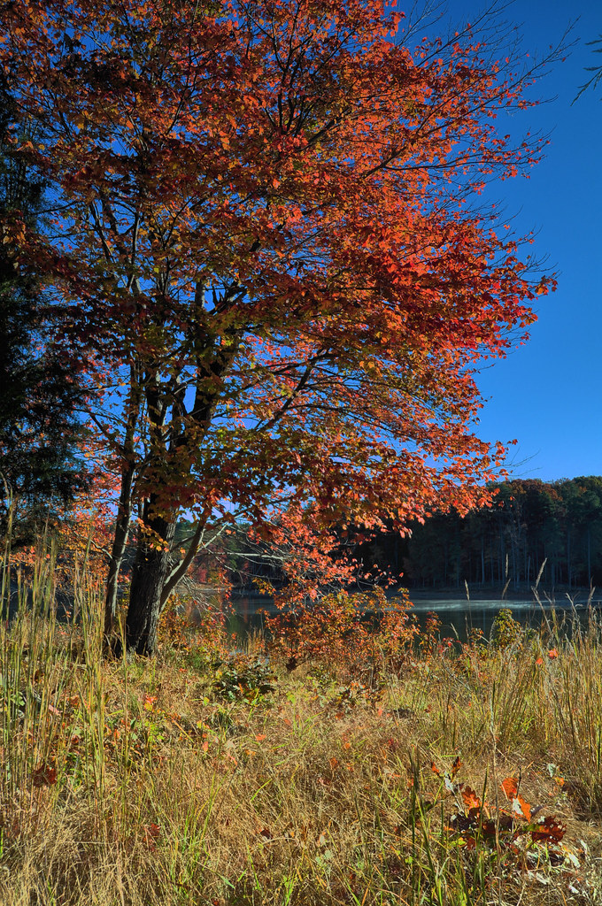
falls lake, nc
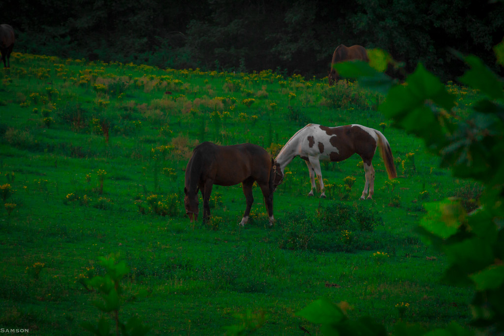
Horse - Near North Carolina Highway 50
Some Snow
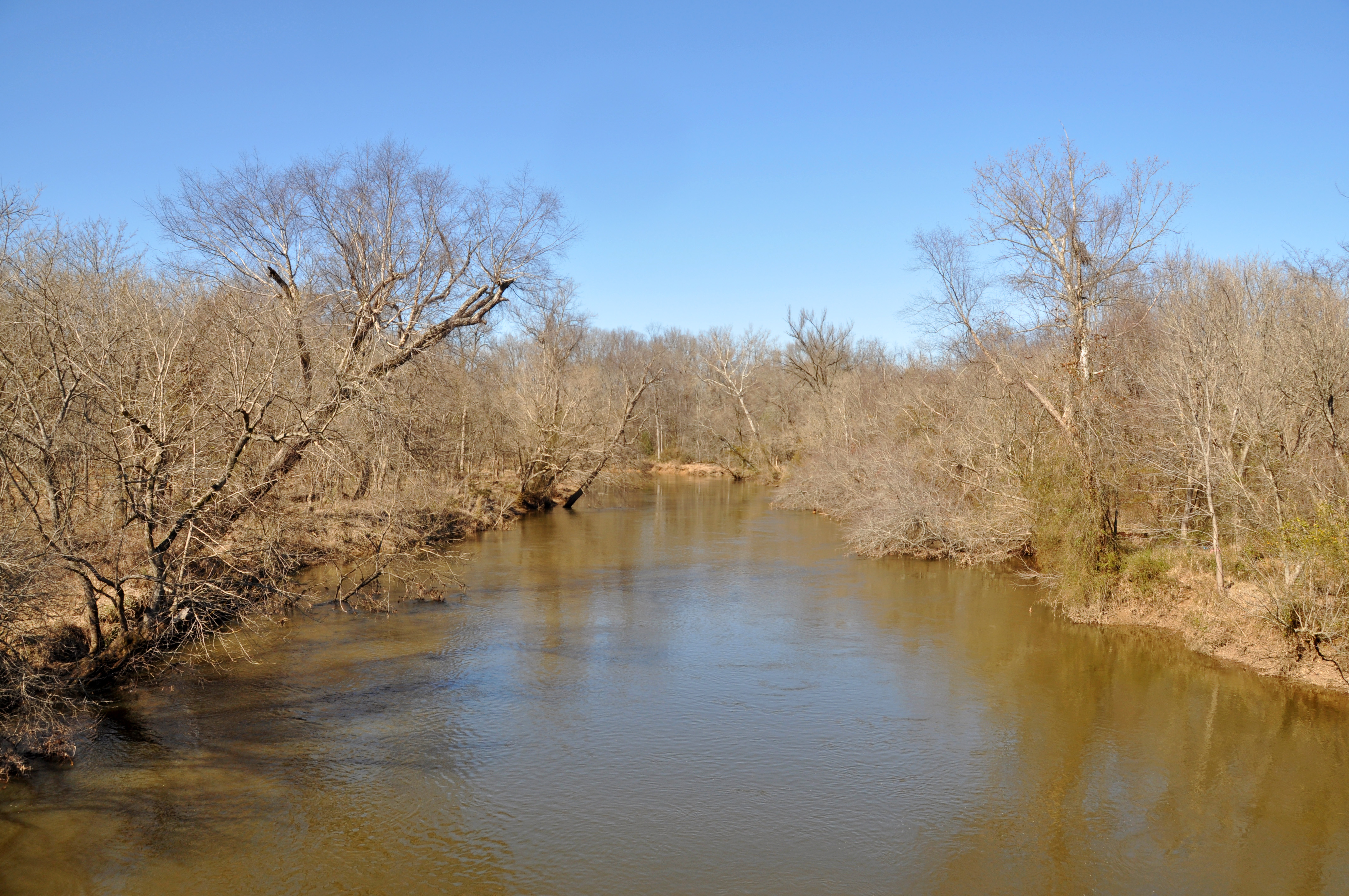
Raleigh - Neuse River
Raleigh - Neuse River
Lastly, sunset at the end of old Route 98

DSC00924_filtered_filtered w
DSC00989_filtered w
Mistletoe - 0119

DSC01724_filtered w
Mistletoe - 0210
Red-Sky-Jordan-Lake_w
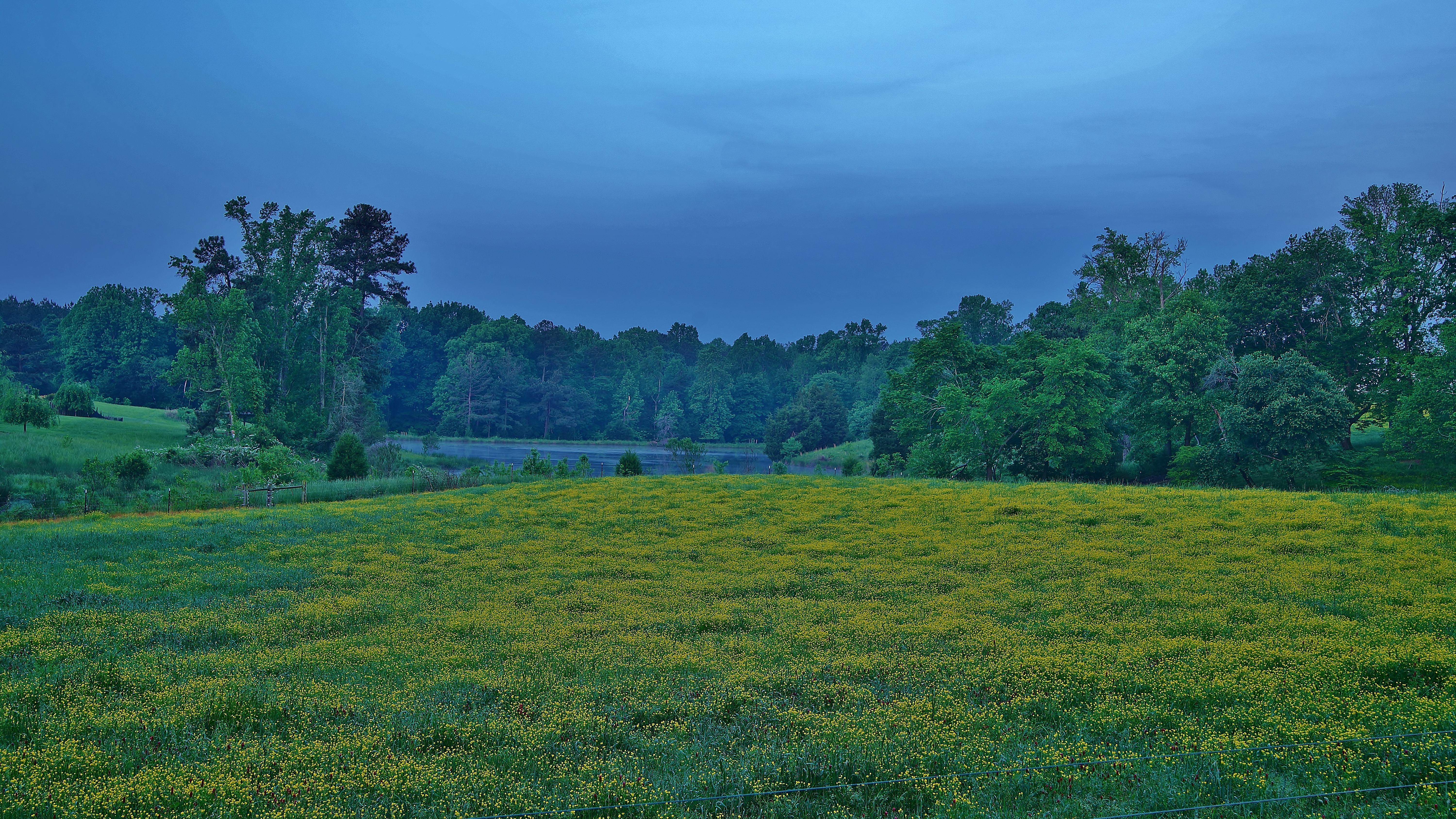
yellow blooms
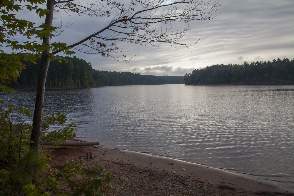
Falls Lake
Mistletoe - 0153
Mistletoe - 0138
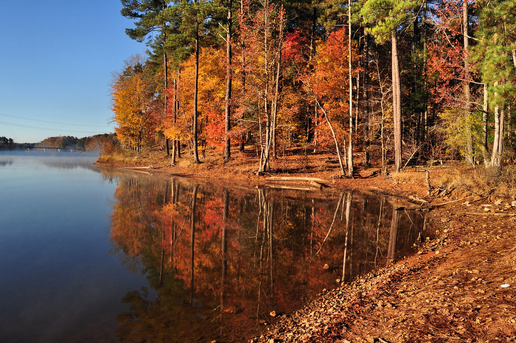
Falls Lake Trail

Across the Falls - Raleigh, North Carolina
Mistletoe - 0111
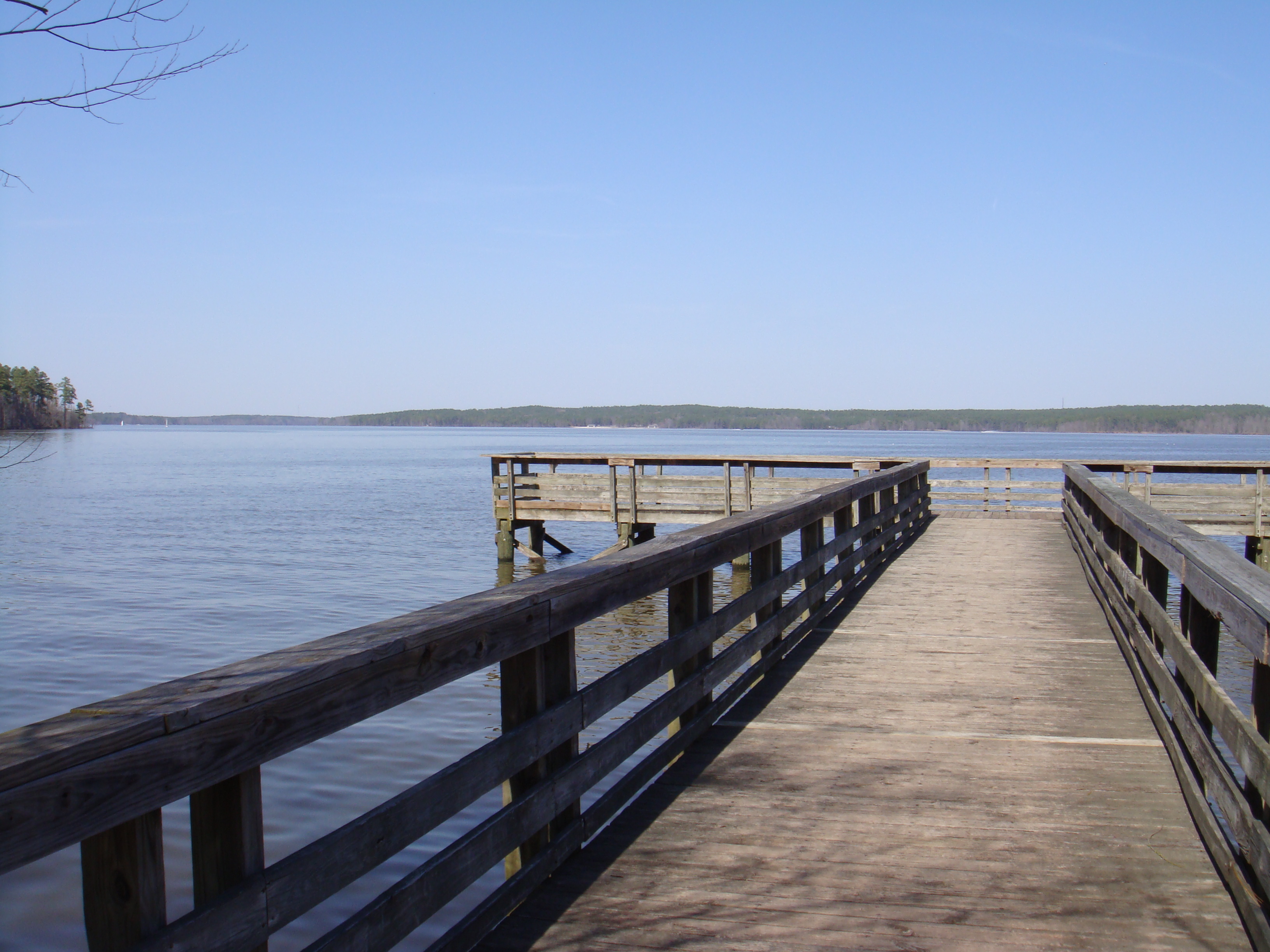
Fishing Pier
Topographic Map of Sleepy Hollow, Wake Forest, NC, USA
Find elevation by address:

Places near Sleepy Hollow, Wake Forest, NC, USA:
Bruce Garner Rd, Creedmoor, NC, USA
Woodhollow Drive
Woodhollow Drive
Lawrence Road
1202 Smith Creek Way
1533 Lawrence Rd
1518 Trailwood Dr
1535 Trailwood Dr
1662 Fern Hollow Dr
1673 Fern Hollow Dr
85 Meadowrue Ln
45 Meadowrue Ln
100 Meadowrue Ln
16 Jessemine Cove
1954 Long Mill Rd
1323 Pocomoke Rd
Brassfield
270 Long View Dr
4132 Geneva Dr
75 Cole Cir
Recent Searches:
- Elevation of 15th Ave SE, St. Petersburg, FL, USA
- Elevation of Beall Road, Beall Rd, Florida, USA
- Elevation of Leguwa, Nepal
- Elevation of County Rd, Enterprise, AL, USA
- Elevation of Kolchuginsky District, Vladimir Oblast, Russia
- Elevation of Shustino, Vladimir Oblast, Russia
- Elevation of Lampiasi St, Sarasota, FL, USA
- Elevation of Elwyn Dr, Roanoke Rapids, NC, USA
- Elevation of Congressional Dr, Stevensville, MD, USA
- Elevation of Bellview Rd, McLean, VA, USA