Elevation of 75 Cole Cir, Franklinton, NC, USA
Location: United States > North Carolina > Franklin County > Franklinton > Franklinton >
Longitude: -78.526086
Latitude: 36.1122722
Elevation: 124m / 407feet
Barometric Pressure: 100KPa
Elevation Map:
Satellite Map:
Related Photos:

NC Barn - PicMonkey Daguerreotype
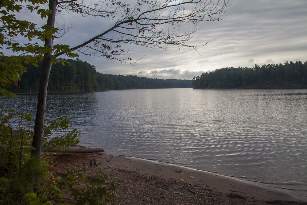
Falls Lake
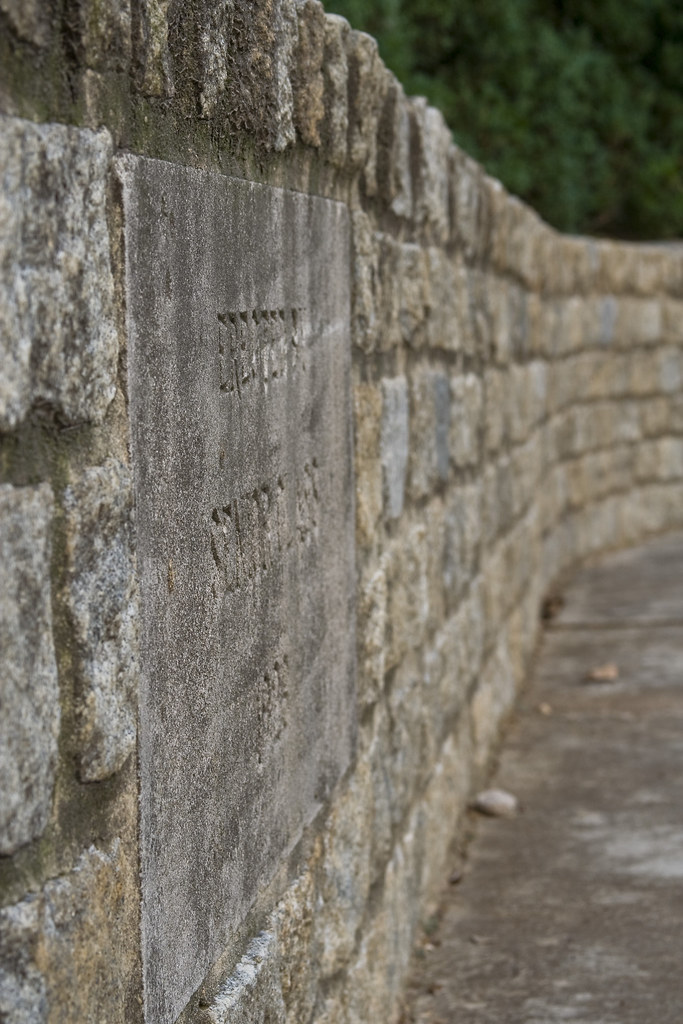
dedication wall
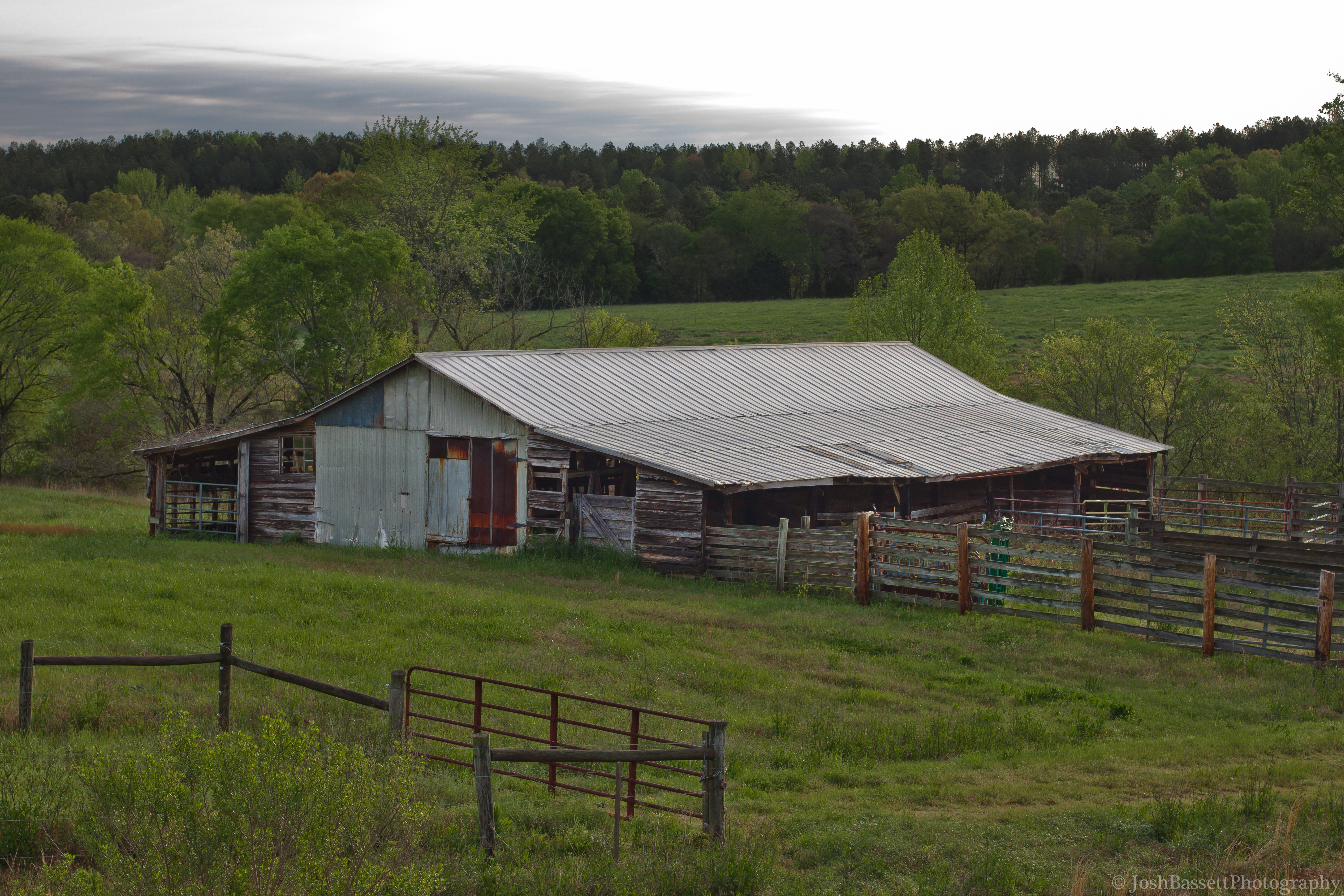
96/366 - Abandoned Barn
Ghost town or Joyner park during the week #nietophotography #nieto
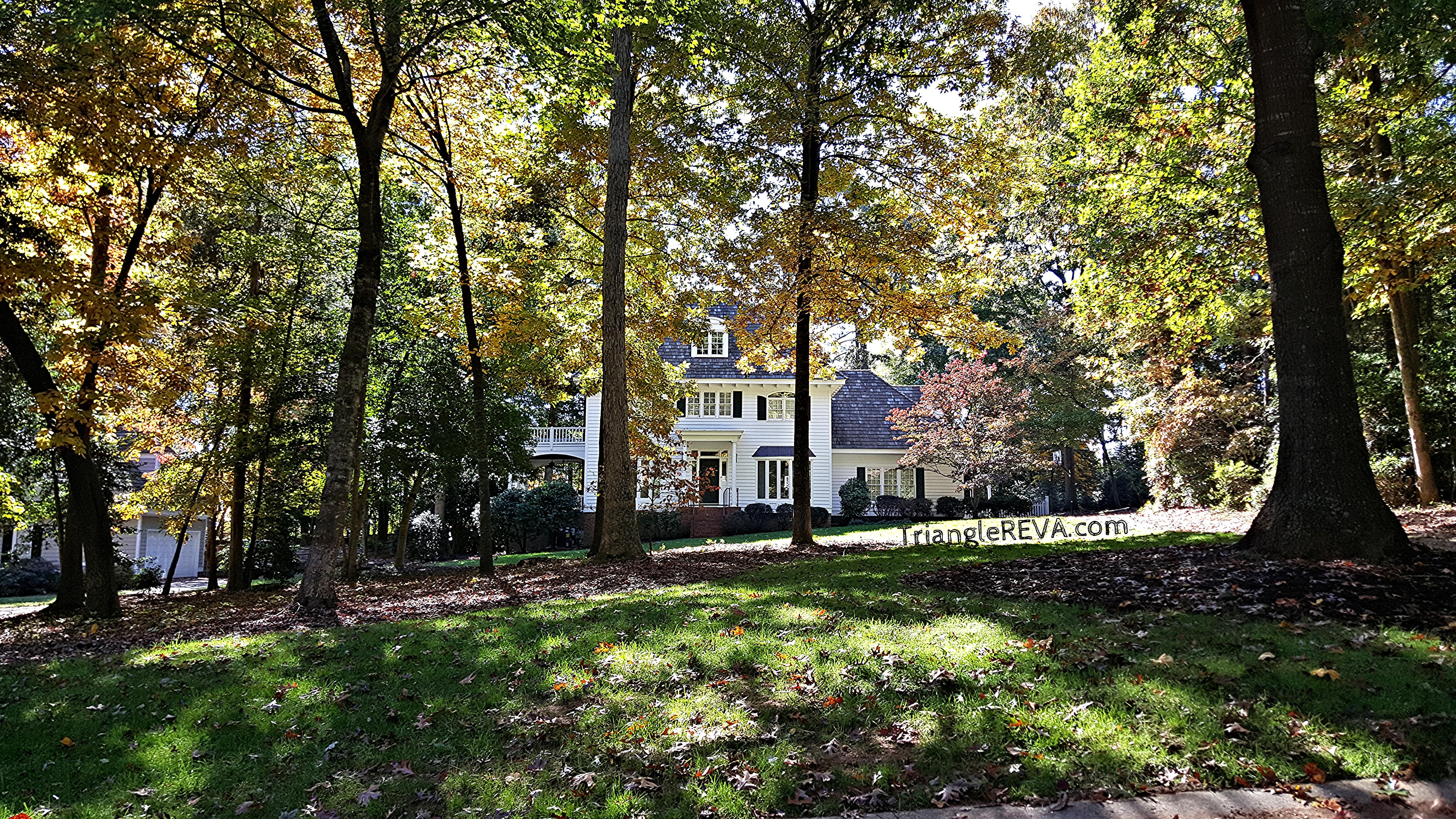
Crenshaw Hall Home Wake Forest NC
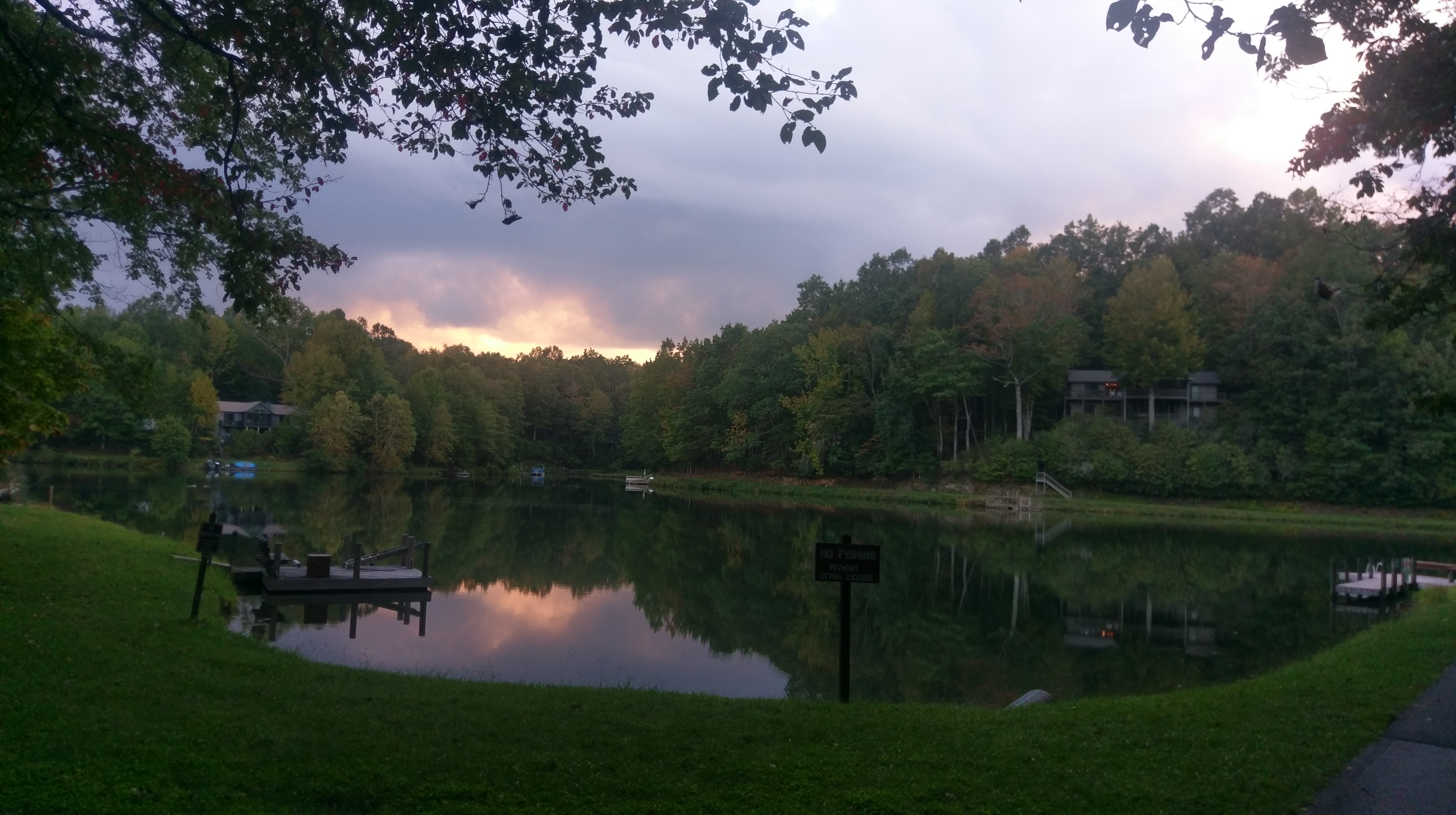
Beautiful night.
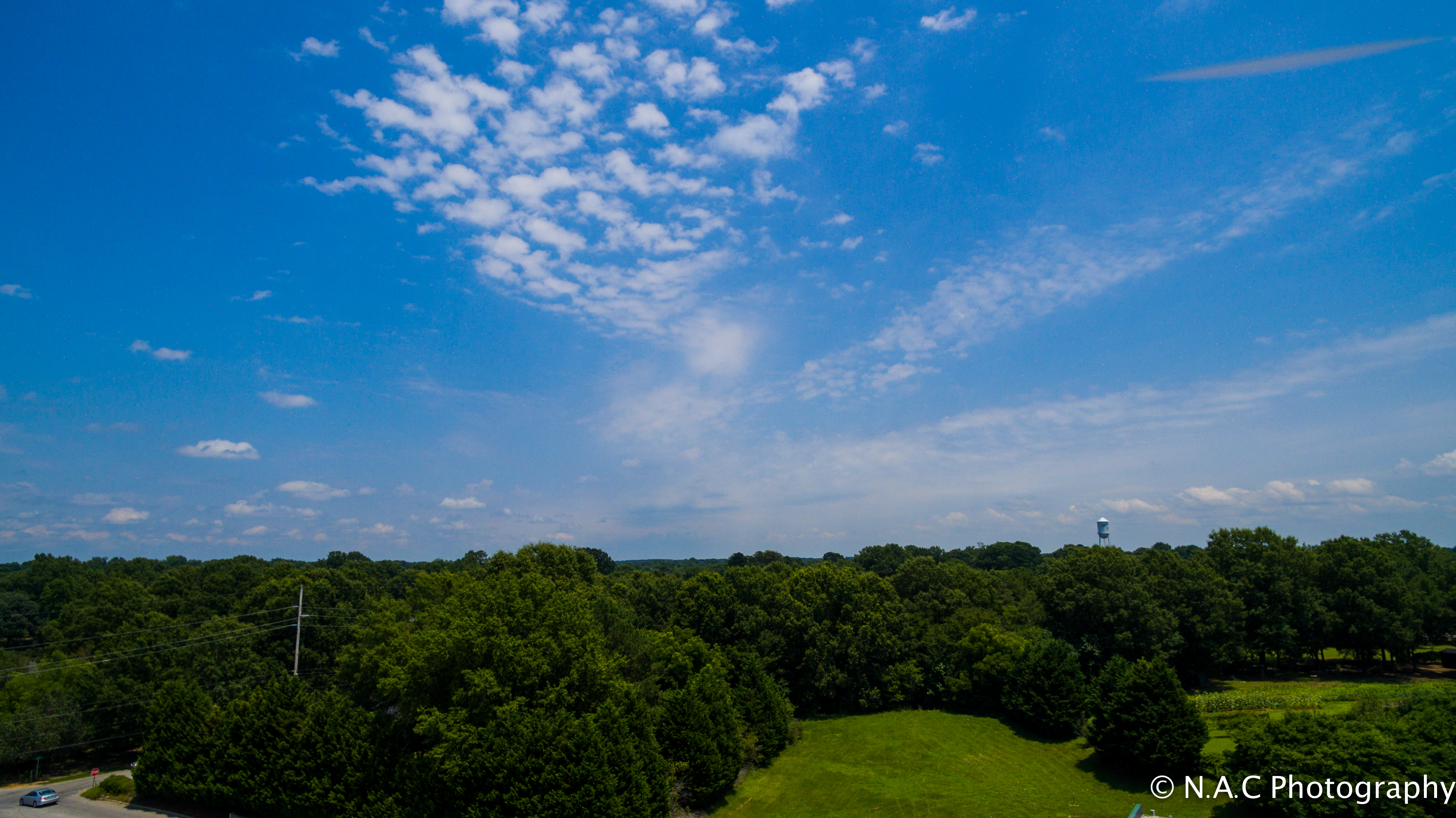
Blue Sky
The Original Wake Forest
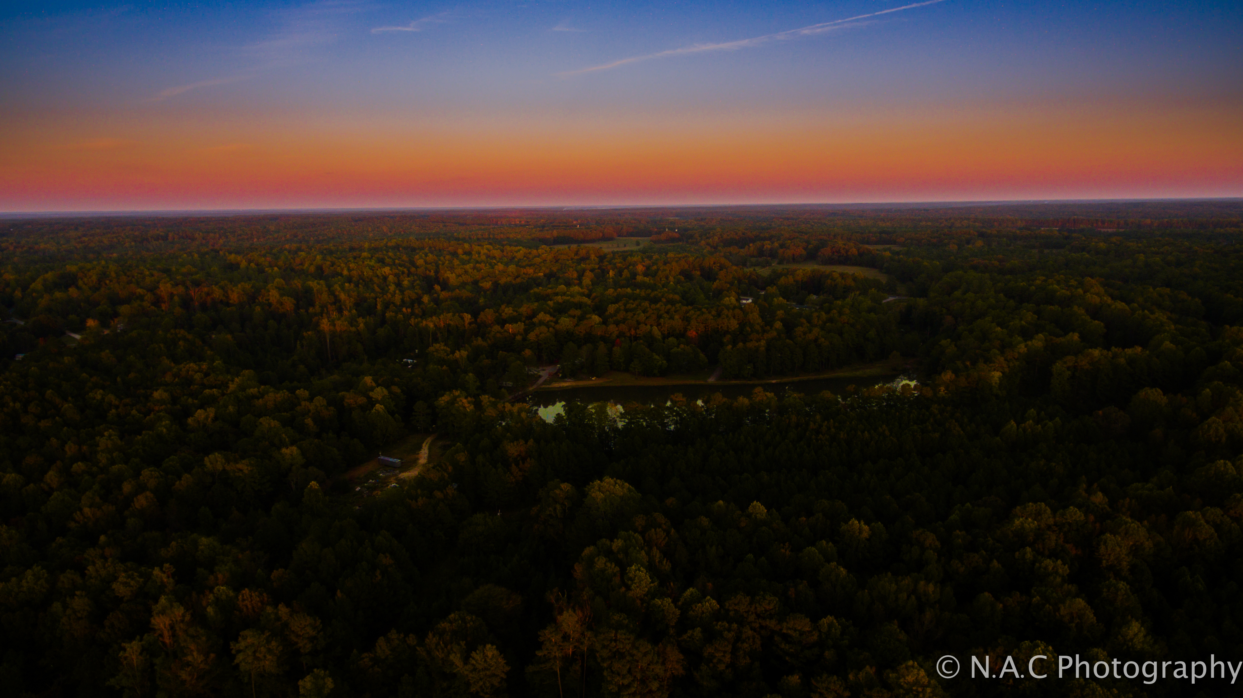
Oct 13th-3
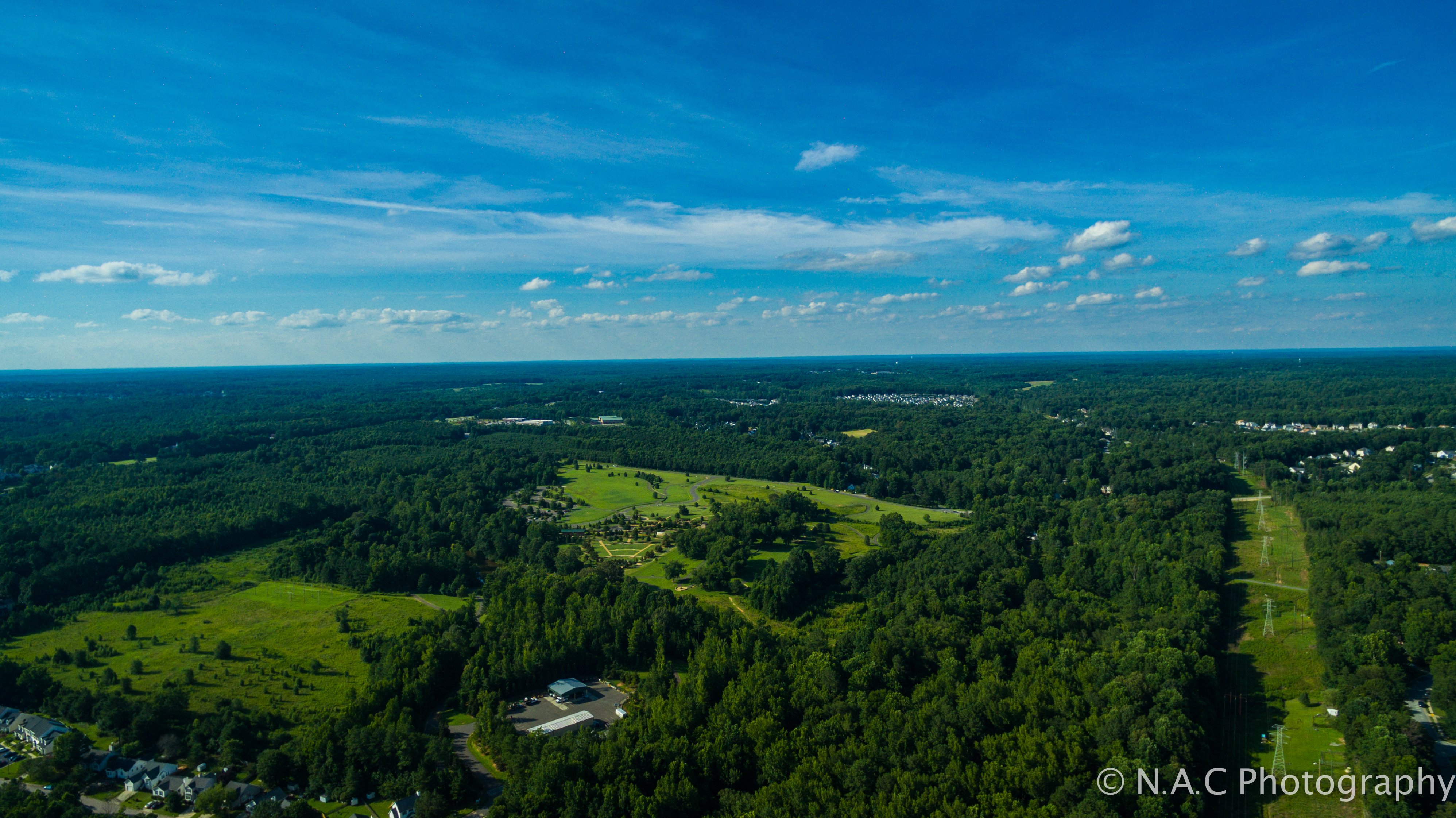
Joyner Park-3
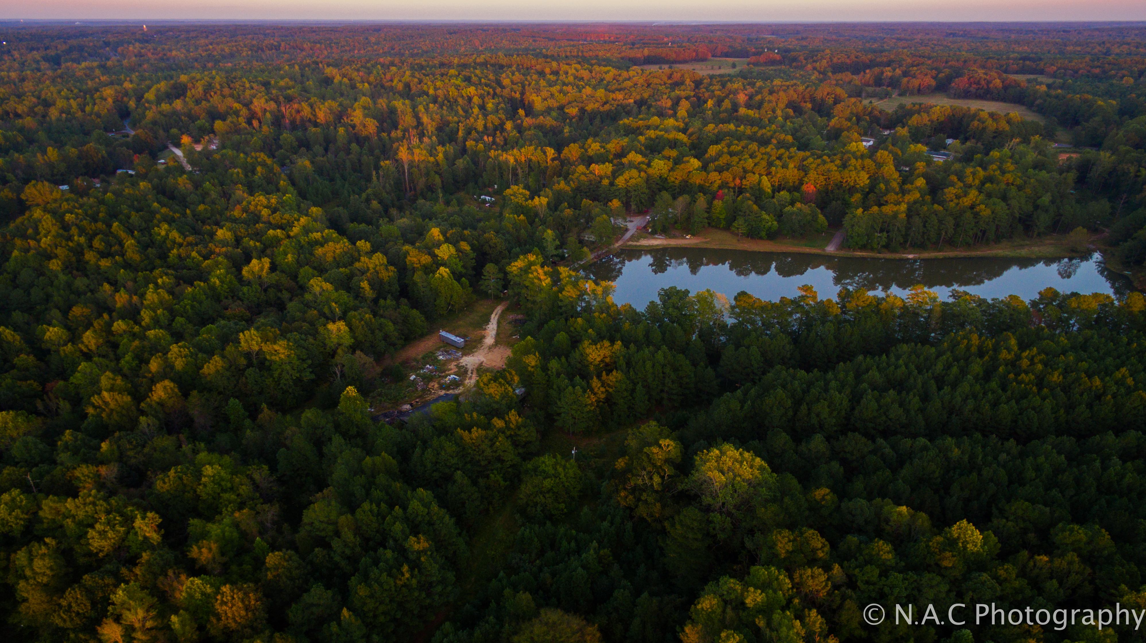
Oct 13th-8
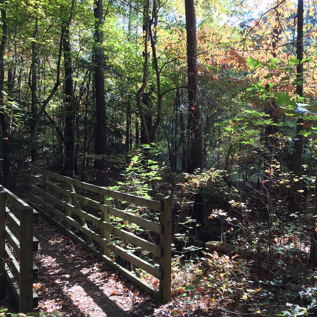
Fall in Raleigh, NC
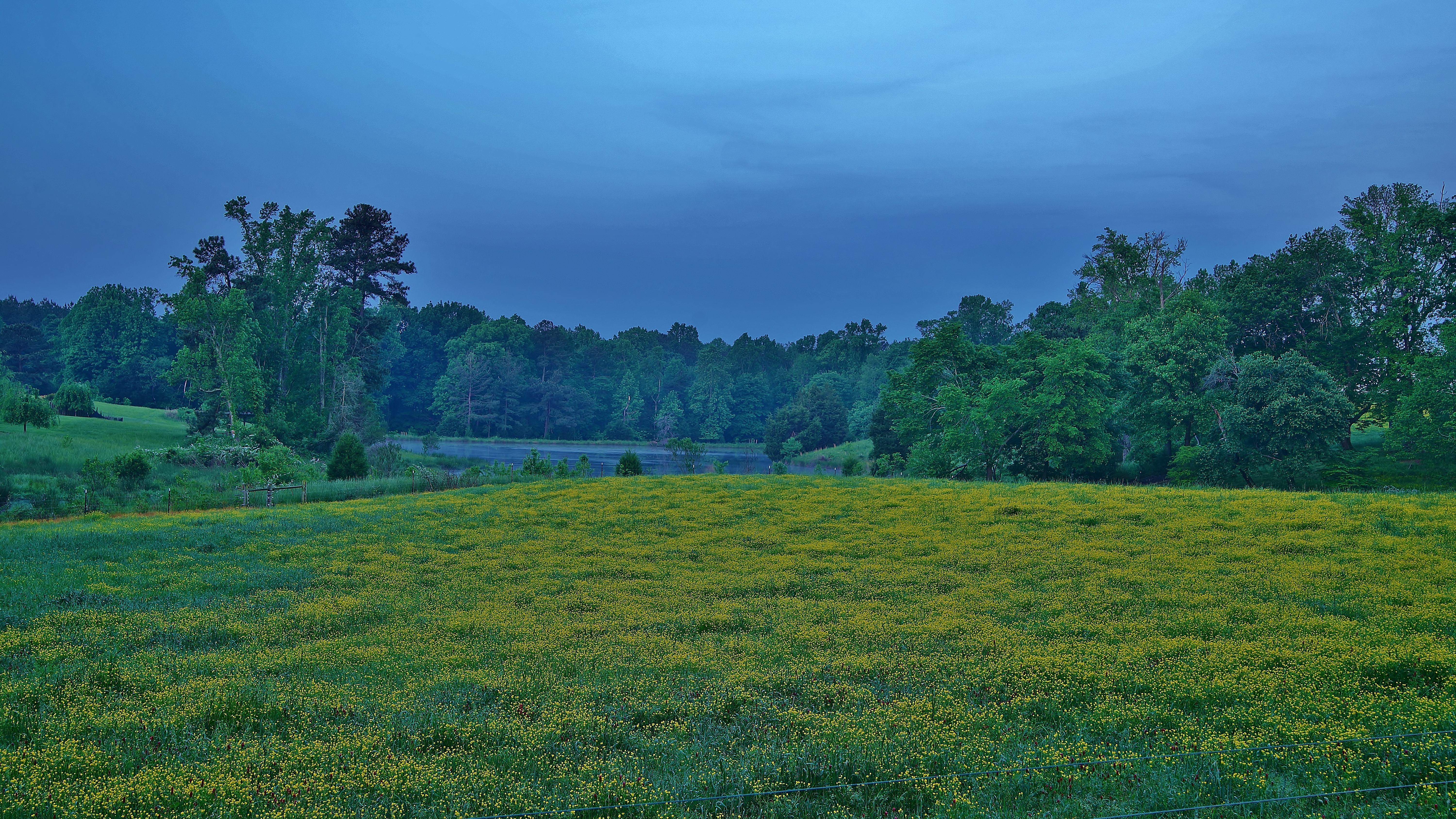
yellow blooms
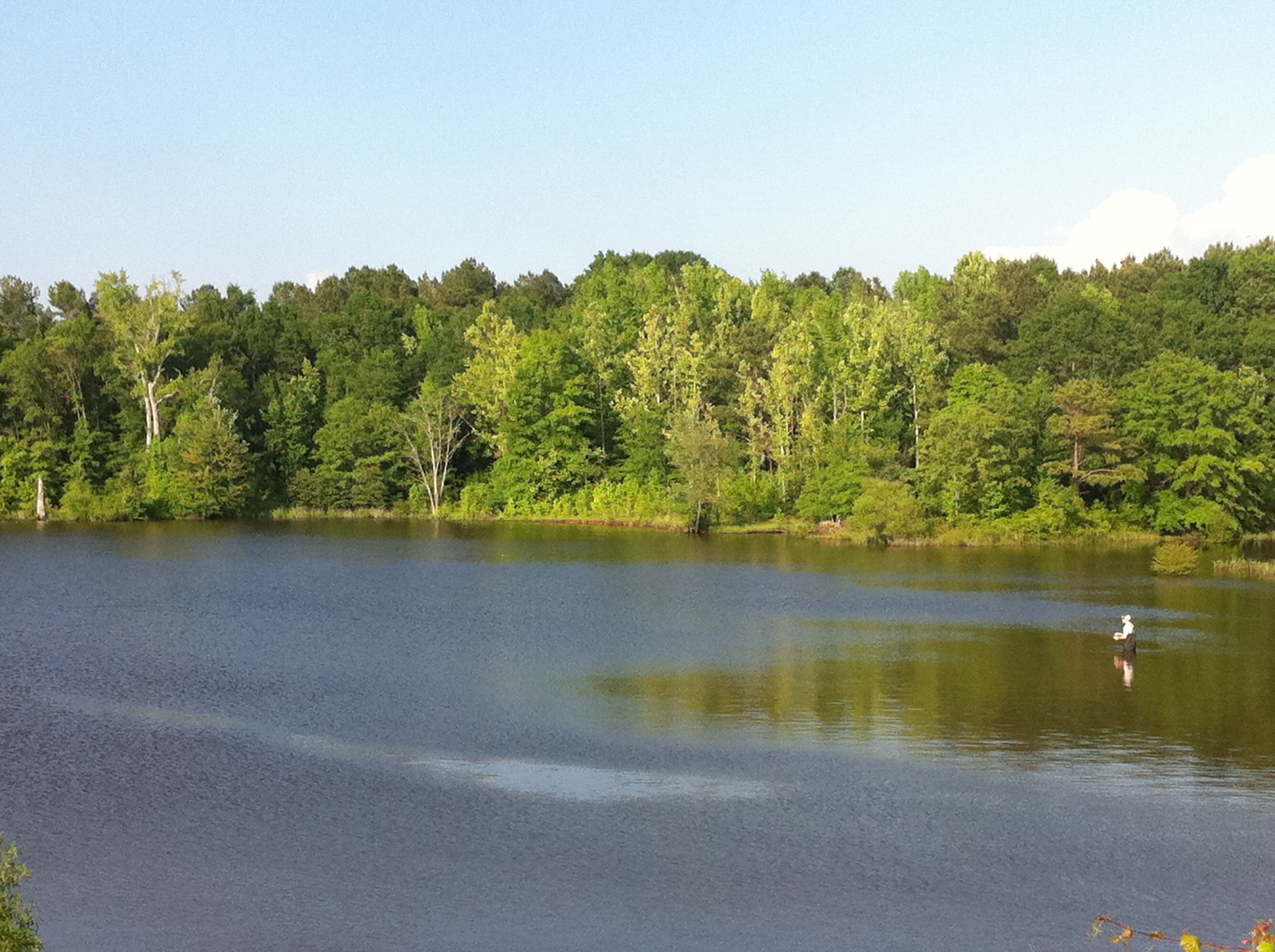
Fly fishing northeast of Durham
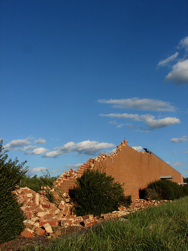
Mountains of brick
Topographic Map of 75 Cole Cir, Franklinton, NC, USA
Find elevation by address:

Places near 75 Cole Cir, Franklinton, NC, USA:
135 Castlebury Ln
2453 Golden Forest Dr
4132 Geneva Dr
1323 Pocomoke Rd
1673 Fern Hollow Dr
270 Long View Dr
1662 Fern Hollow Dr
16 Jessemine Cove
1202 Smith Creek Way
Woodhollow Drive
Woodhollow Drive
100 Meadowrue Ln
85 Meadowrue Ln
45 Meadowrue Ln
1954 Long Mill Rd
Franklinton
Franklinton
1533 Lawrence Rd
Lawrence Road
Bruce Garner Rd, Creedmoor, NC, USA
Recent Searches:
- Elevation of Beall Road, Beall Rd, Florida, USA
- Elevation of Leguwa, Nepal
- Elevation of County Rd, Enterprise, AL, USA
- Elevation of Kolchuginsky District, Vladimir Oblast, Russia
- Elevation of Shustino, Vladimir Oblast, Russia
- Elevation of Lampiasi St, Sarasota, FL, USA
- Elevation of Elwyn Dr, Roanoke Rapids, NC, USA
- Elevation of Congressional Dr, Stevensville, MD, USA
- Elevation of Bellview Rd, McLean, VA, USA
- Elevation of Stage Island Rd, Chatham, MA, USA