Elevation of Silver Ridge West, Washington, USA
Location: United States > Washington > Rockport >
Longitude: -121.18277
Latitude: 48.9988888
Elevation: 1993m / 6539feet
Barometric Pressure: 80KPa
Elevation Map:
Satellite Map:
Related Photos:
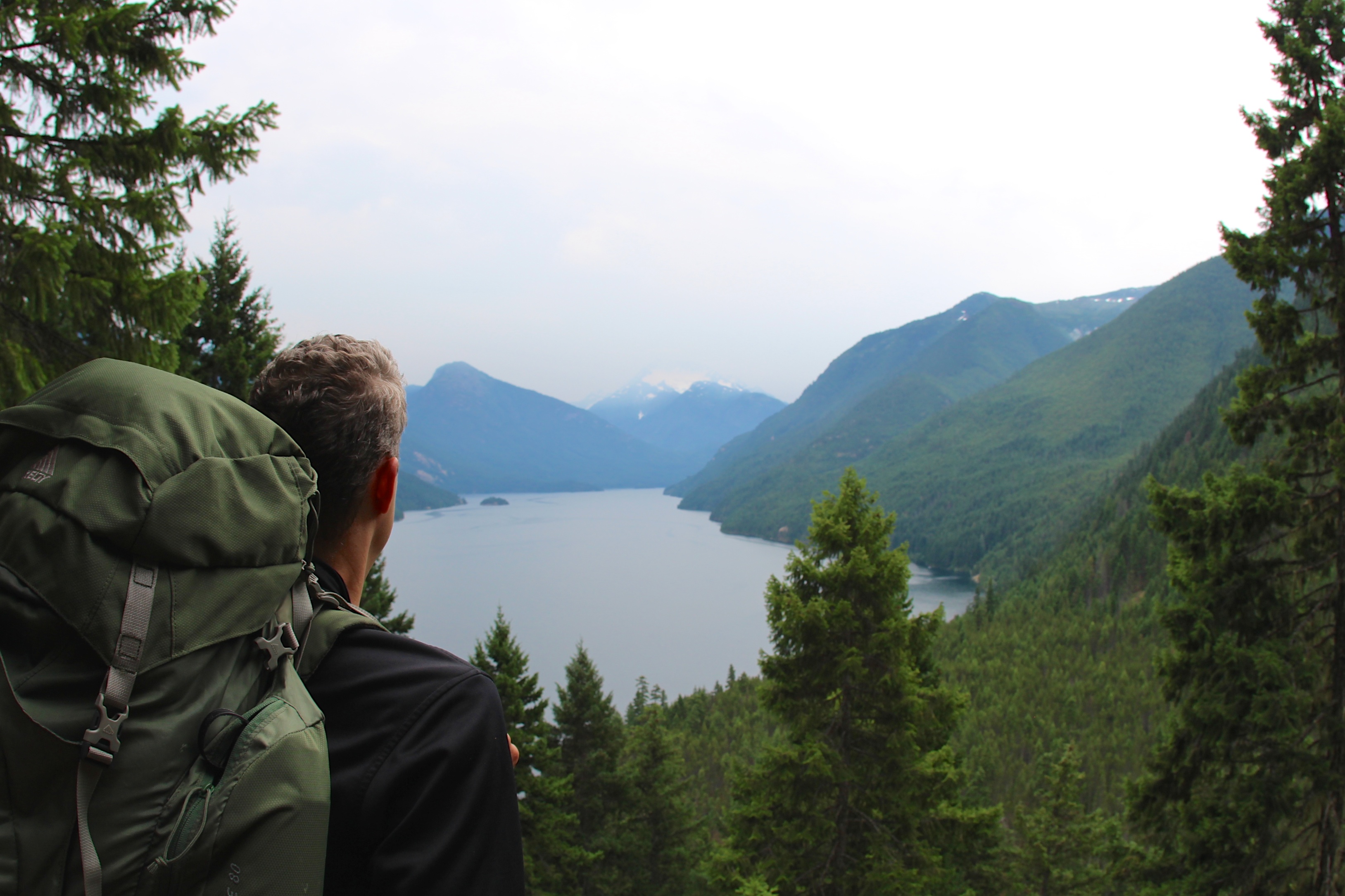
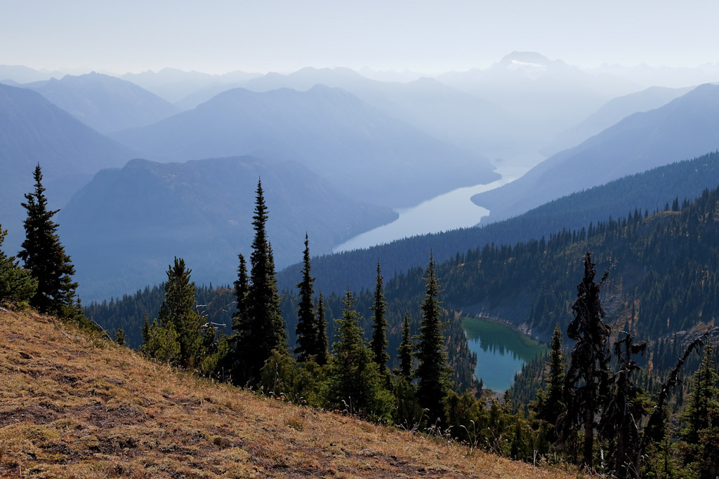
View of Ross Lake
View From Ross Lake Reservoir
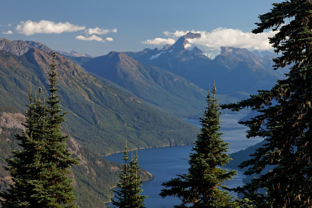
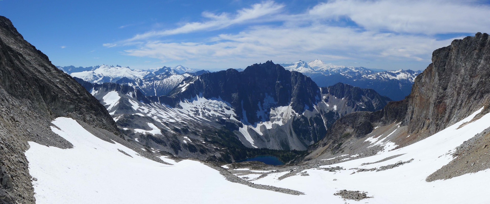
View of Cascades Moutains
Beaver Creek campsite
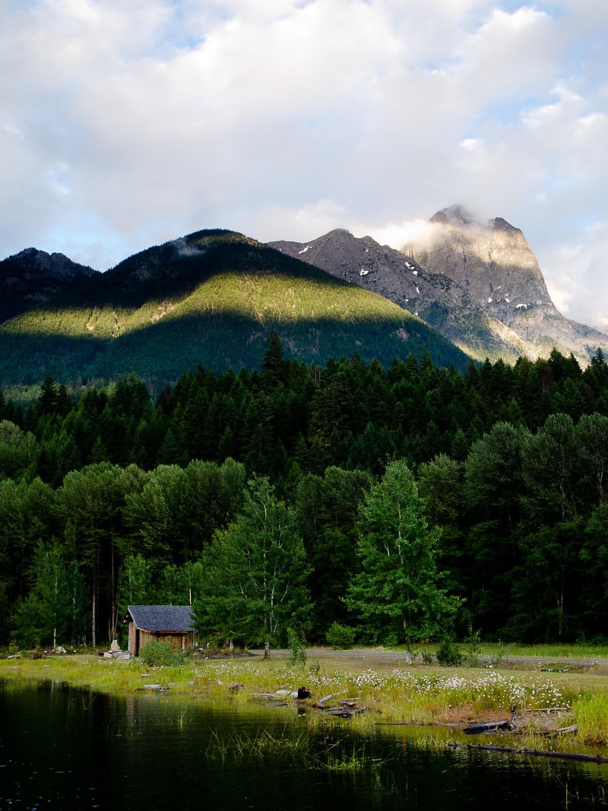
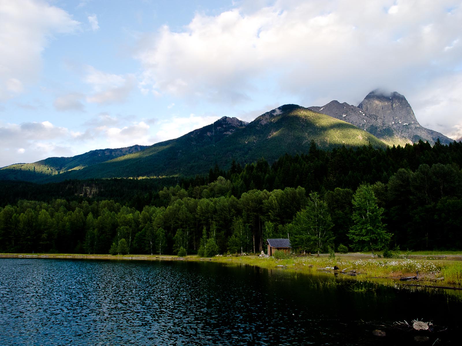
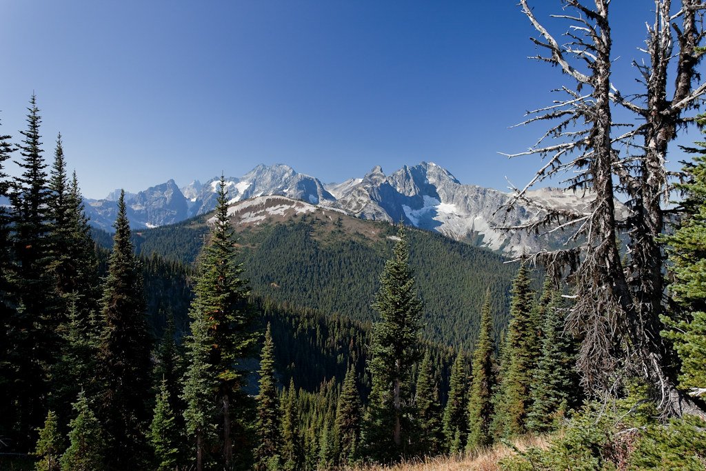
Mount Redoubt and Spickard
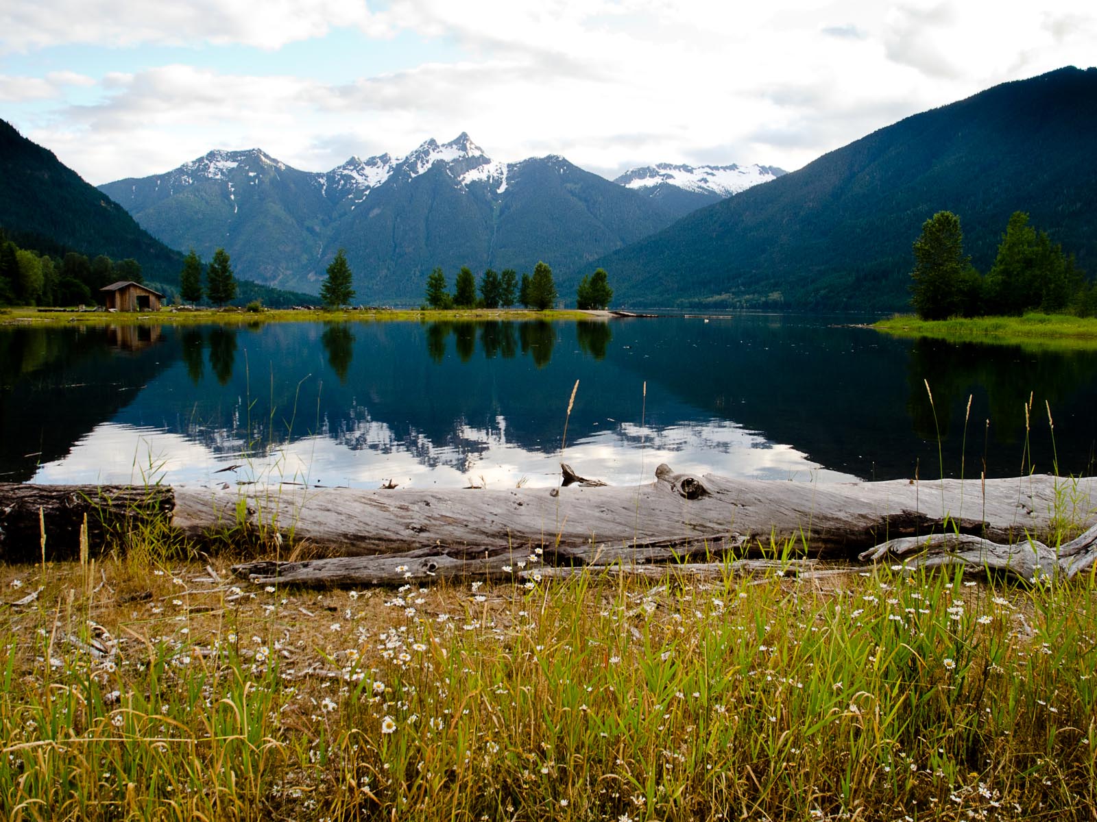
View From Ross Lake Reservoir
View From Ross Lake Reservoir

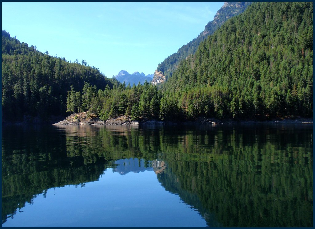
last view of ross lake and nohokameen
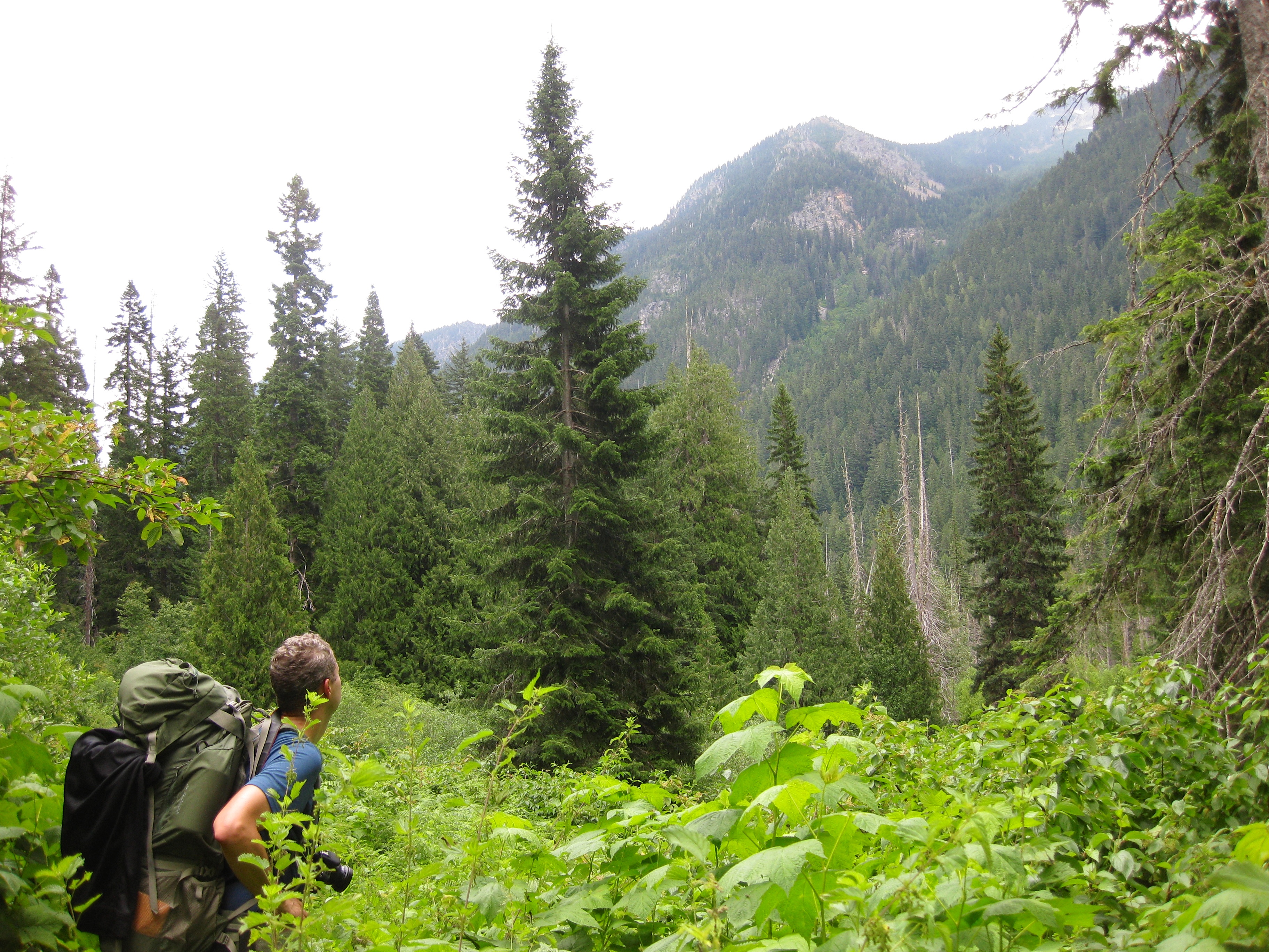
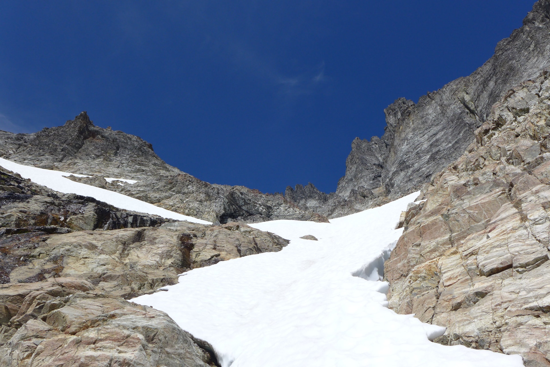
Trail view
Mount Redoubt and Spickard
Mount Redoubt and Spickard
A View to a Lake
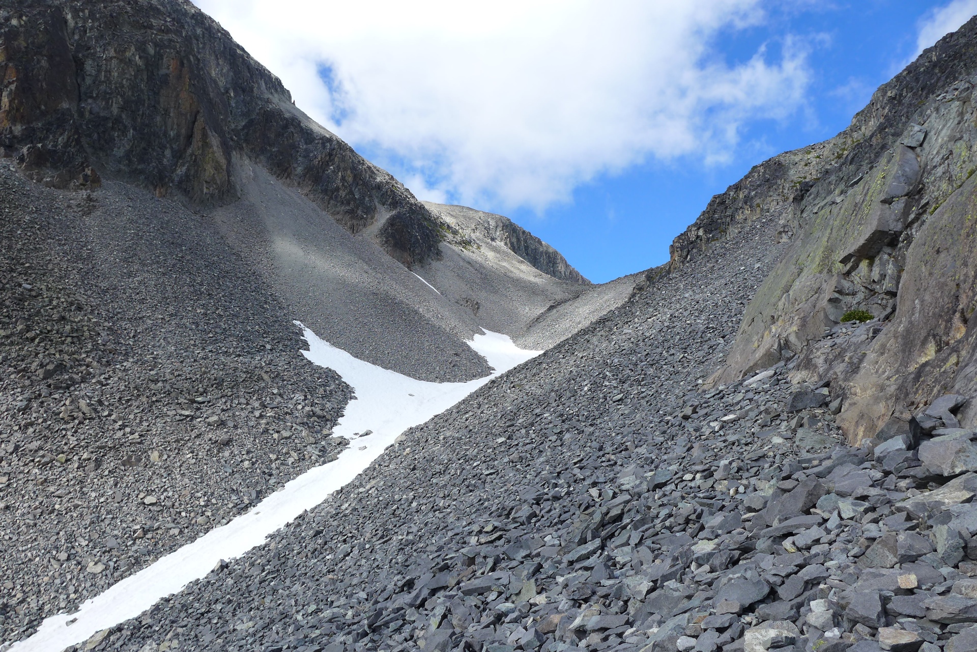
View from the Pass
Topographic Map of Silver Ridge West, Washington, USA
Find elevation by address:

Places near Silver Ridge West, Washington, USA:
Wright Peak
Mount Spickard
Custer Ridge
Finlayson Peak
Whitworth Peak
Mox Peaks Hp
Mount Daly
Hozomeen Campground
Mount Redoubt
Thompson Peak
Mount Lockwood
Stillwell Campground
Mount Prophet
Shawatum Mountain
Luna Campground
Mount Edgar
Custer Ridge
Mount Andrews
Silvertip Mountain
Hozomeen Mountain
Recent Searches:
- Elevation of Congressional Dr, Stevensville, MD, USA
- Elevation of Bellview Rd, McLean, VA, USA
- Elevation of Stage Island Rd, Chatham, MA, USA
- Elevation of Shibuya Scramble Crossing, 21 Udagawacho, Shibuya City, Tokyo -, Japan
- Elevation of Jadagoniai, Kaunas District Municipality, Lithuania
- Elevation of Pagonija rock, Kranto 7-oji g. 8"N, Kaunas, Lithuania
- Elevation of Co Rd 87, Jamestown, CO, USA
- Elevation of Tenjo, Cundinamarca, Colombia
- Elevation of Côte-des-Neiges, Montreal, QC H4A 3J6, Canada
- Elevation of Bobcat Dr, Helena, MT, USA