Elevation of Mount Edgar, Fraser Valley E, BC V0X, Canada
Location: Canada > British Columbia > Fraser Valley > Fraser Valley E >
Longitude: -121.34527
Latitude: 49.0338888
Elevation: 2041m / 6696feet
Barometric Pressure: 79KPa
Elevation Map:
Satellite Map:
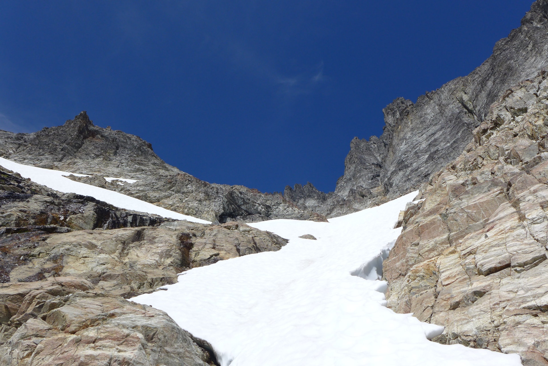
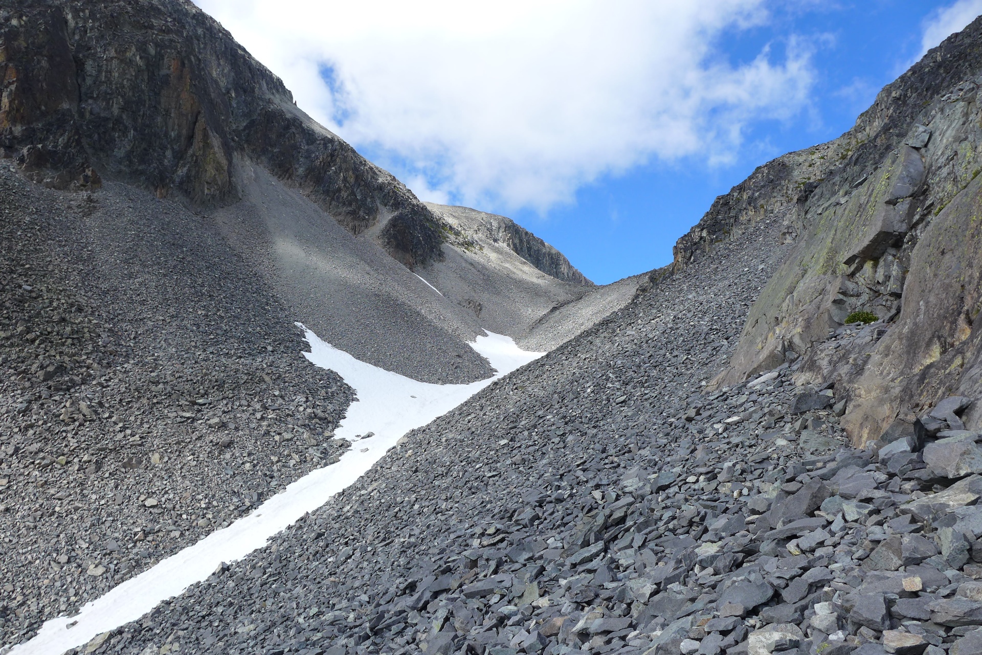
Related Photos:
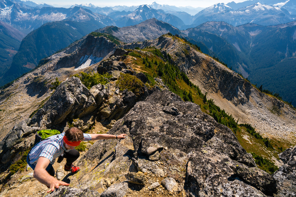
Descending from Point 6855
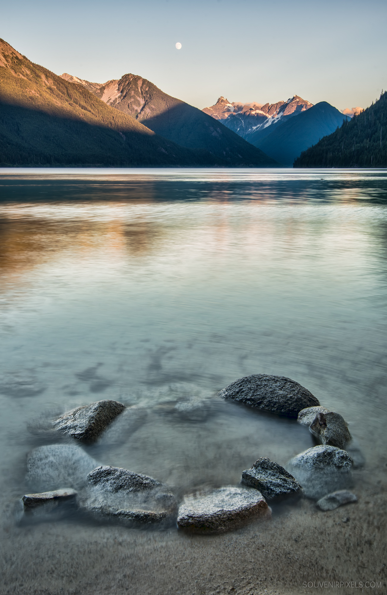
Chilliwack Lake Circle
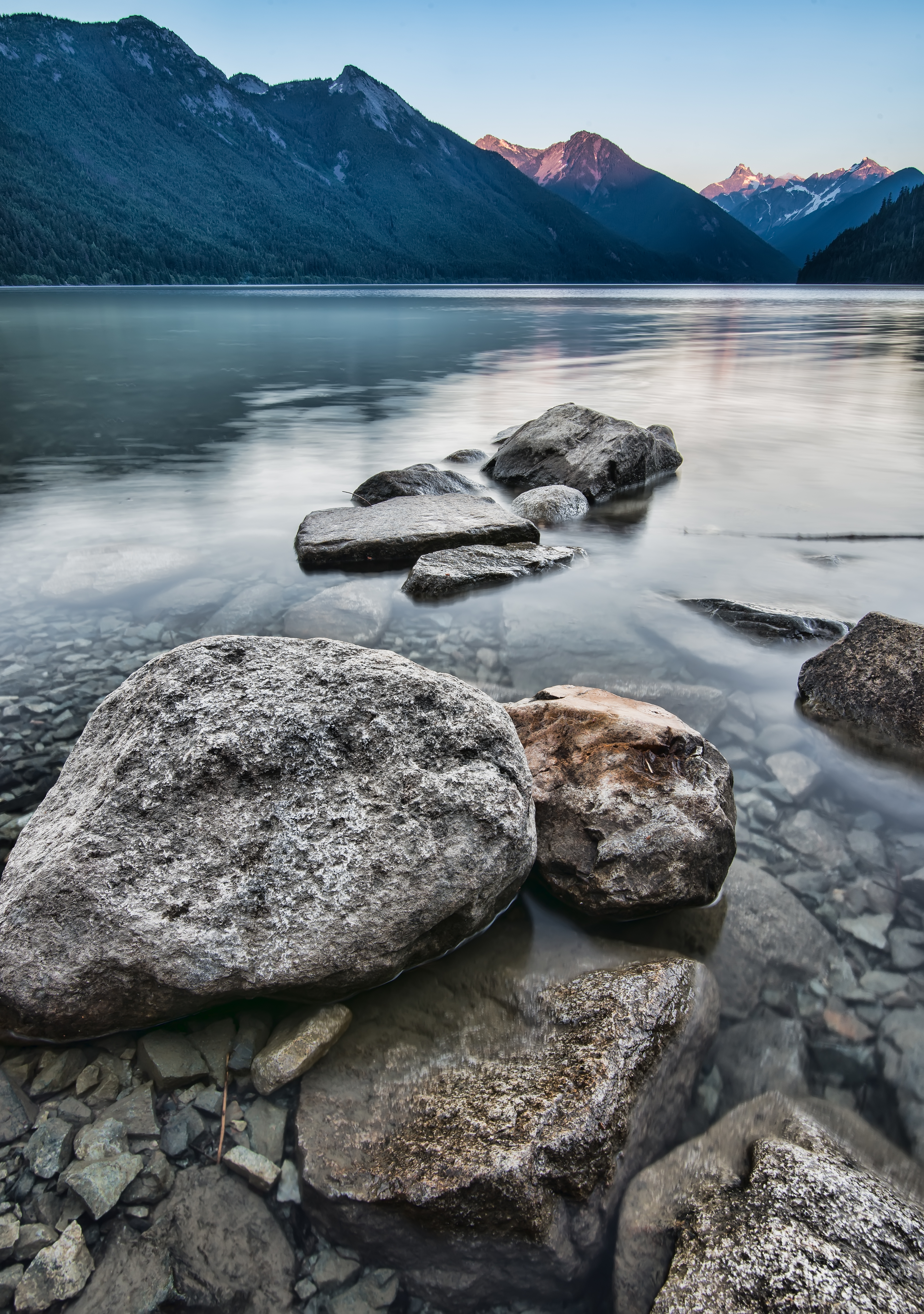
Chilliwack Lake Gritty Rocks
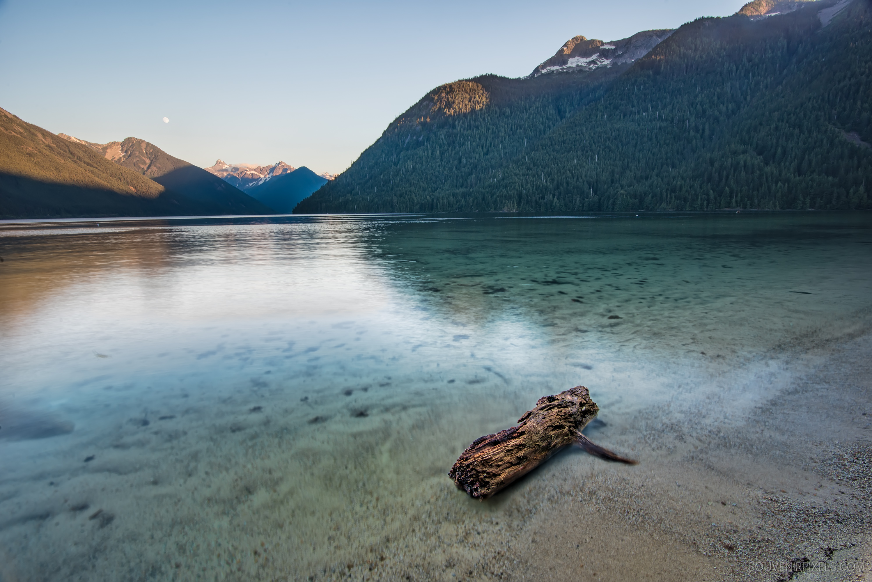
Chilliwack Lake Log
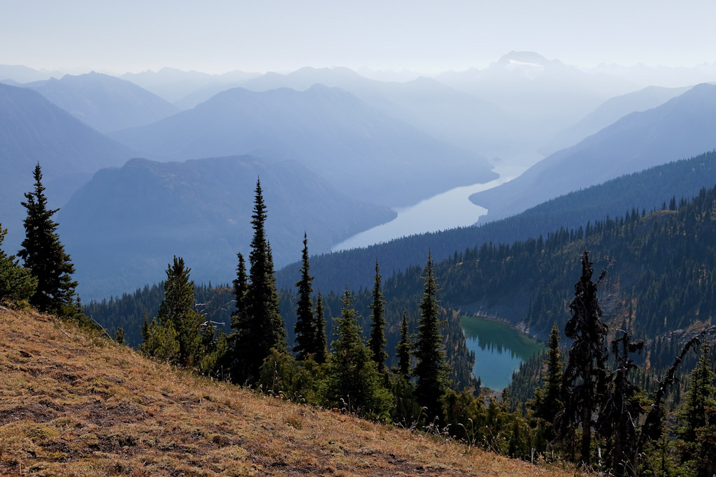
A View to a Lake
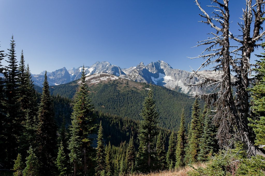
View from the Pass

View from my lunchspot today...
Mount Redoubt and Spickard
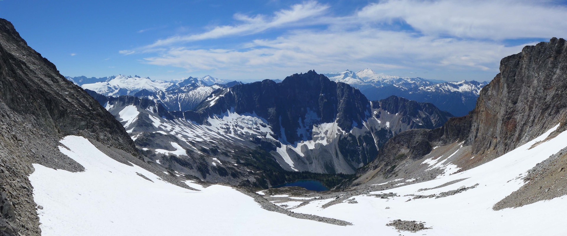
Mount Redoubt and Spickard
Mount Redoubt and Spickard
Topographic Map of Mount Edgar, Fraser Valley E, BC V0X, Canada
Find elevation by address:

Places near Mount Edgar, Fraser Valley E, BC V0X, Canada:
Nodoubt Peak
Little Chilliwack Campground
Bear Creek Campground
Mount Redoubt
Bear Mountain
Mount Lindeman
Indian Creek Campground
Macdonald Peak
Middle Peak
Indian Mountain
Red Face Mountain
Copper Mountain
Whatcom Campground
Graybeal Campground
U.s. Cabin Campground
Rexford South Peak
Silesia Ridge
Mount Rexford
Station D Peak
Slesse Mountain
Recent Searches:
- Elevation of Corso Fratelli Cairoli, 35, Macerata MC, Italy
- Elevation of Tallevast Rd, Sarasota, FL, USA
- Elevation of 4th St E, Sonoma, CA, USA
- Elevation of Black Hollow Rd, Pennsdale, PA, USA
- Elevation of Oakland Ave, Williamsport, PA, USA
- Elevation of Pedrógão Grande, Portugal
- Elevation of Klee Dr, Martinsburg, WV, USA
- Elevation of Via Roma, Pieranica CR, Italy
- Elevation of Tavkvetili Mountain, Georgia
- Elevation of Hartfords Bluff Cir, Mt Pleasant, SC, USA