Elevation of Silver Birch Ln, Pritchard, BC V0E 2P0, Canada
Location: Canada > British Columbia > Thompson-nicola > Thompson-nicola L > Pritchard >
Longitude: -119.75056
Latitude: 50.659093
Elevation: 1058m / 3471feet
Barometric Pressure: 89KPa
Elevation Map:
Satellite Map:
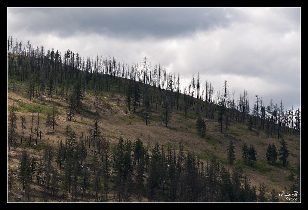
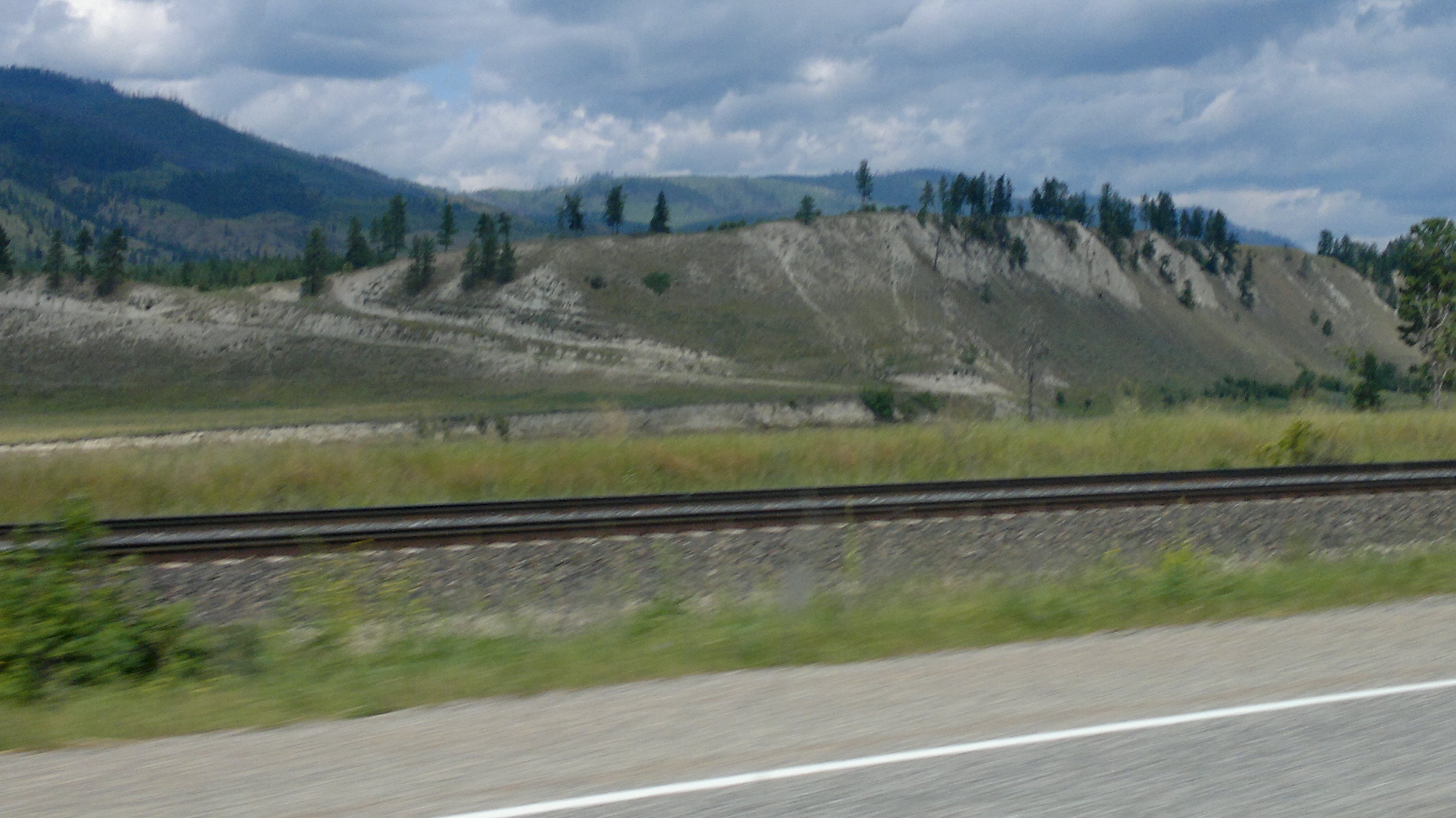
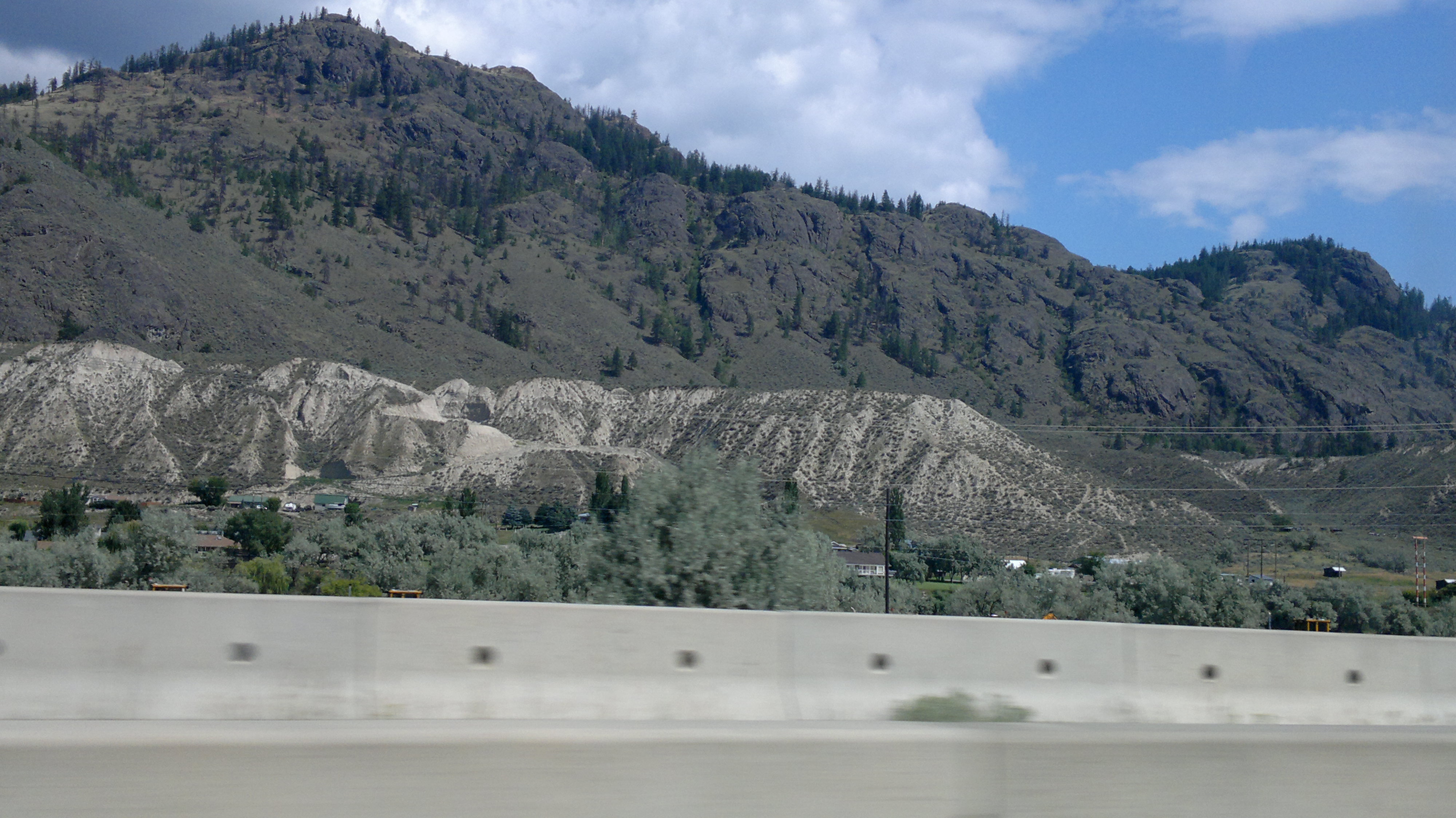
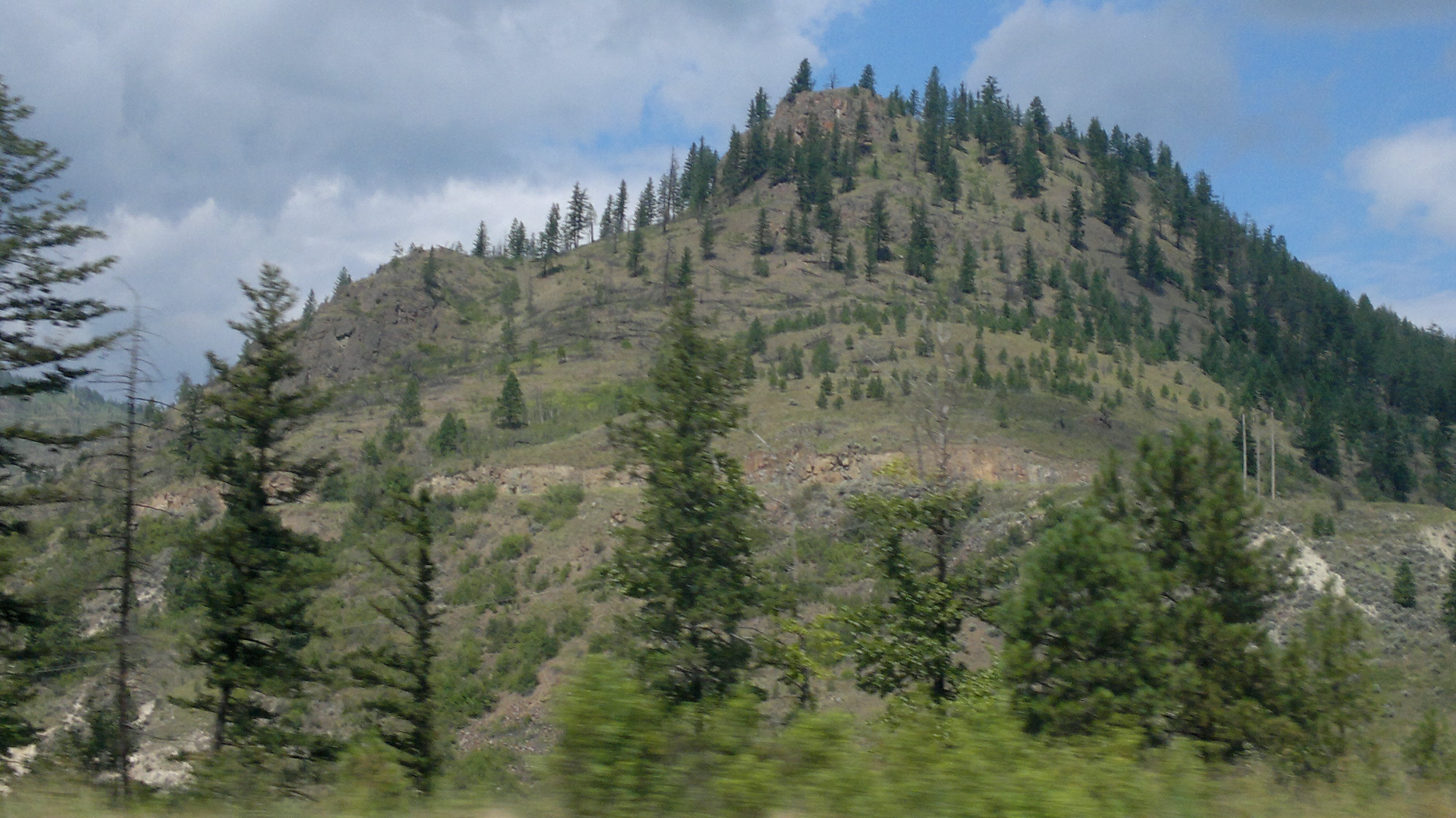
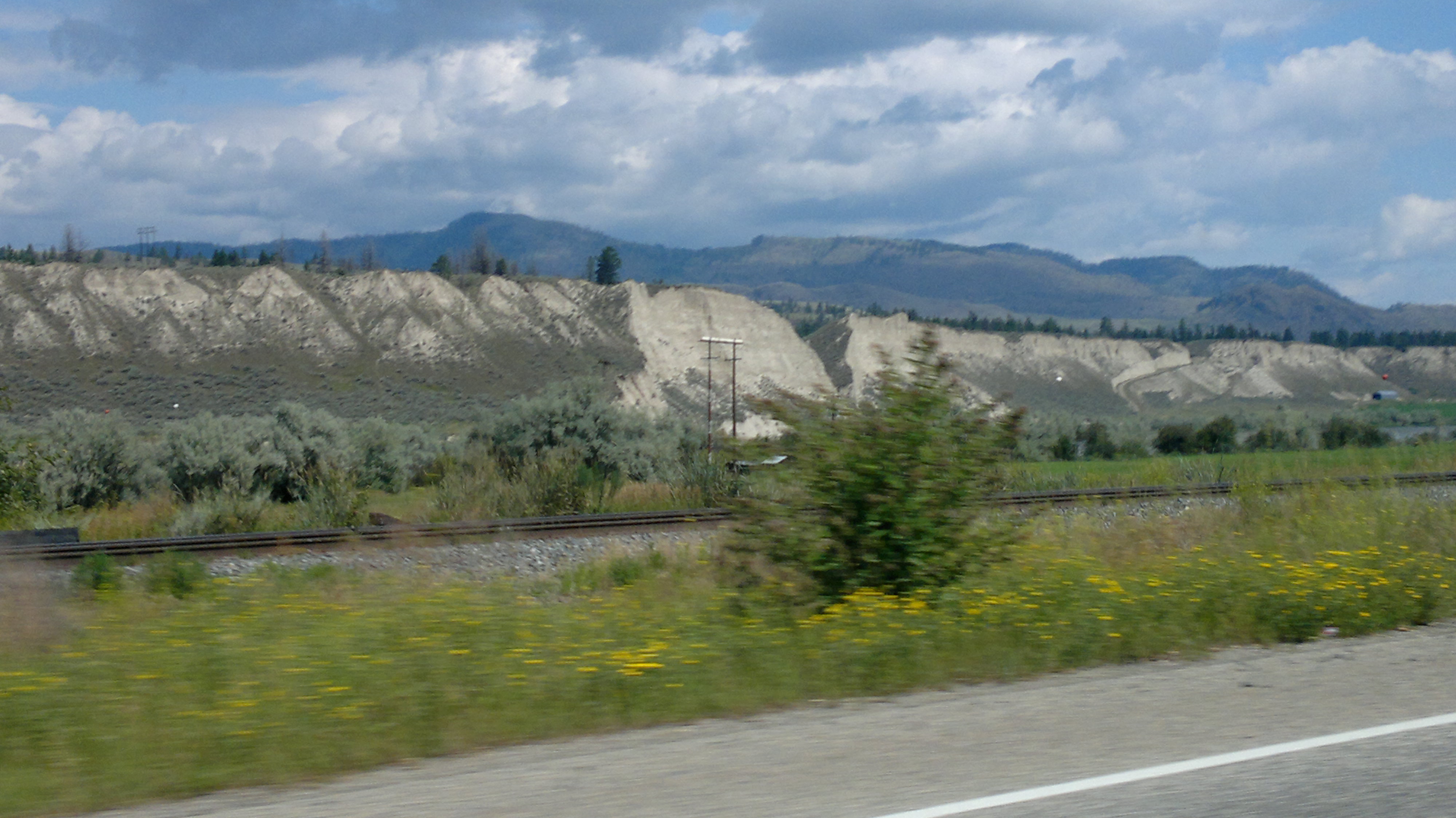
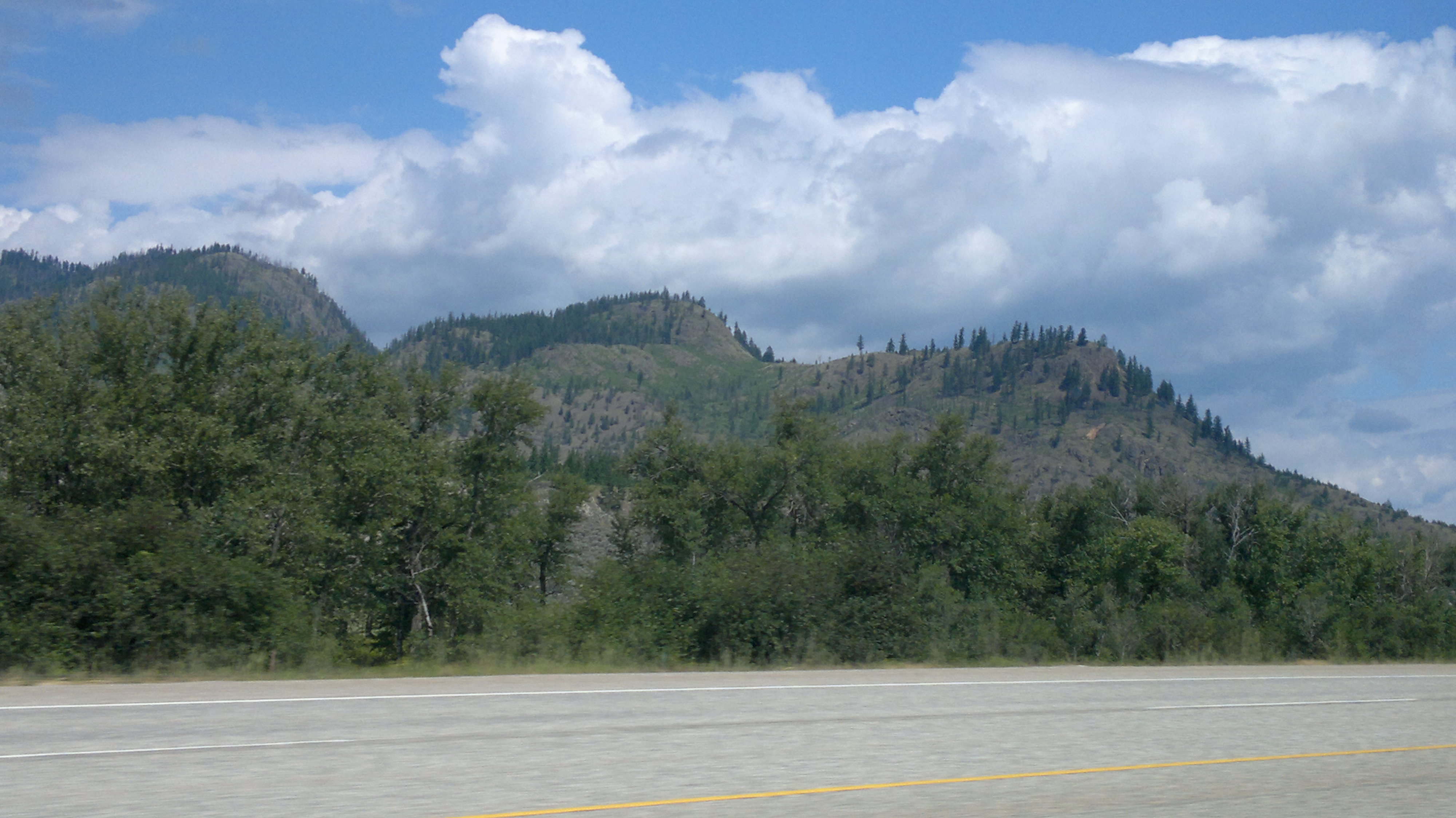
Related Photos:

Thank you, Flickr! Great Gray Owl

8909 Locomotive

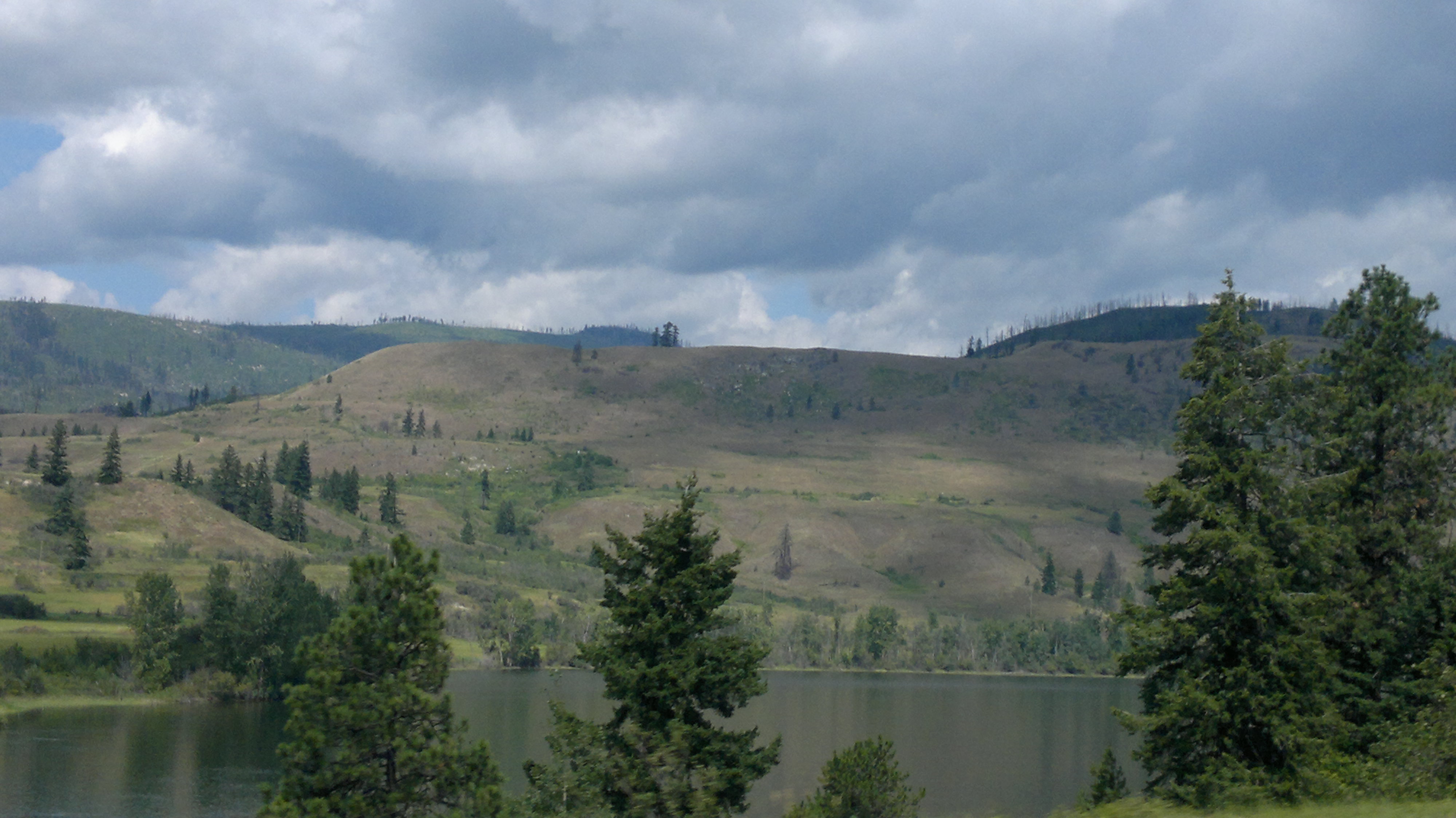
Thompson river, Pritchard, BC, Canada

CP 8792
Six Years Later
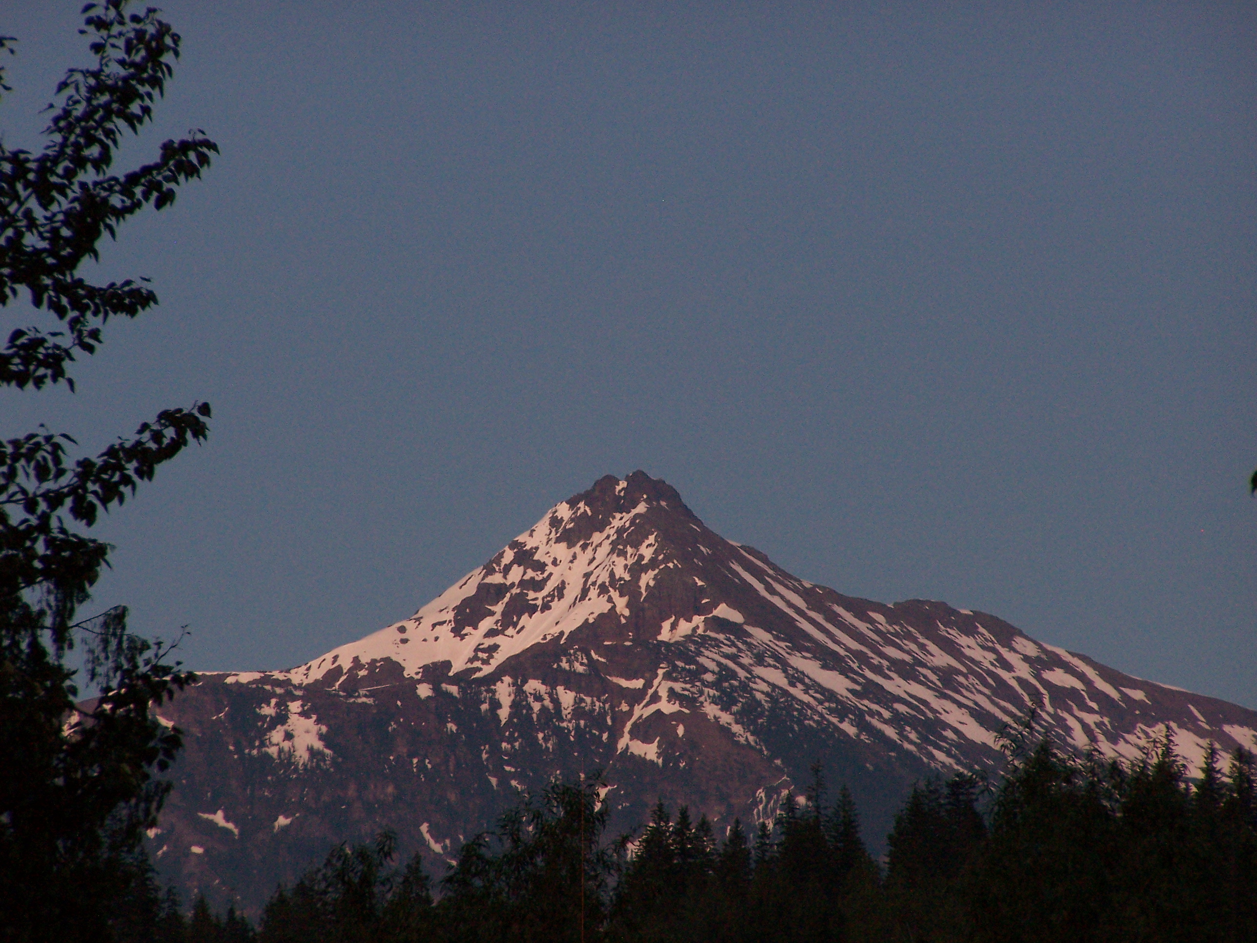
Mount Revelstoke
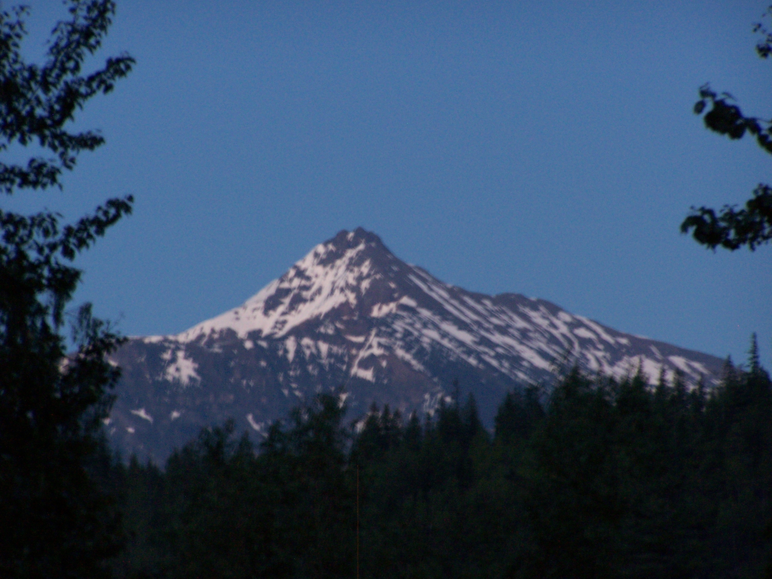
Mount Revelstoke

2012-07-28-7476

2012-07-28-7447

2012-07-28-7476

2012-07-28-7457
2012-07-28-7465

2012-07-28-7465
2012-07-28-7439

2012-07-28-7439

2012-07-28-7466

Kanada_06_487_Hwy 1
2012-07-28-7462
2012-07-28-7447
2012-07-28-7457
2012-07-28-7474
Topographic Map of Silver Birch Ln, Pritchard, BC V0E 2P0, Canada
Find elevation by address:

Places near Silver Birch Ln, Pritchard, BC V0E 2P0, Canada:
Silver Birch Lane
2304 Martin Prairie Rd
2400 Martin Prairie Rd
2400 Martin Prairie Rd
2500 Martin Prairie Rd
2600 Martin Prairie Rd
2600 Martin Prairie Rd
2404 Martin Prairie Rd
2404 Martin Prairie Rd
3000 Martin Prairie Rd
Martin Prairie Road
2123 Martin Prairie Rd
4696 Cober Rd
4828 Cory Rd
4763 Cory Rd
1803 Martin Prairie Rd
4641 Martin Creek Rd
Chase Creek
1627 Laveau Rd
1805 Laveau Rd
Recent Searches:
- Elevation of Brooks Lp, Spearfish, SD, USA
- Elevation of Panther Dr, Maggie Valley, NC, USA
- Elevation of Jais St - Wadi Shehah - Ras al Khaimah - United Arab Emirates
- Elevation of Shawnee Avenue, Shawnee Ave, Easton, PA, USA
- Elevation of Scenic Shore Dr, Kingwood Area, TX, USA
- Elevation of W Prive Cir, Delray Beach, FL, USA
- Elevation of S Layton Cir W, Layton, UT, USA
- Elevation of F36W+3M, Mussoorie, Uttarakhand, India
- Elevation of Fairland Ave, Fairhope, AL, USA
- Elevation of Sunset Dr, Richmond, VA, USA