Elevation of Thompson-Nicola L, BC, Canada
Location: Canada > British Columbia > Thompson-nicola >
Longitude: -119.86086
Latitude: 50.5402441
Elevation: 673m / 2208feet
Barometric Pressure: 93KPa
Elevation Map:
Satellite Map:
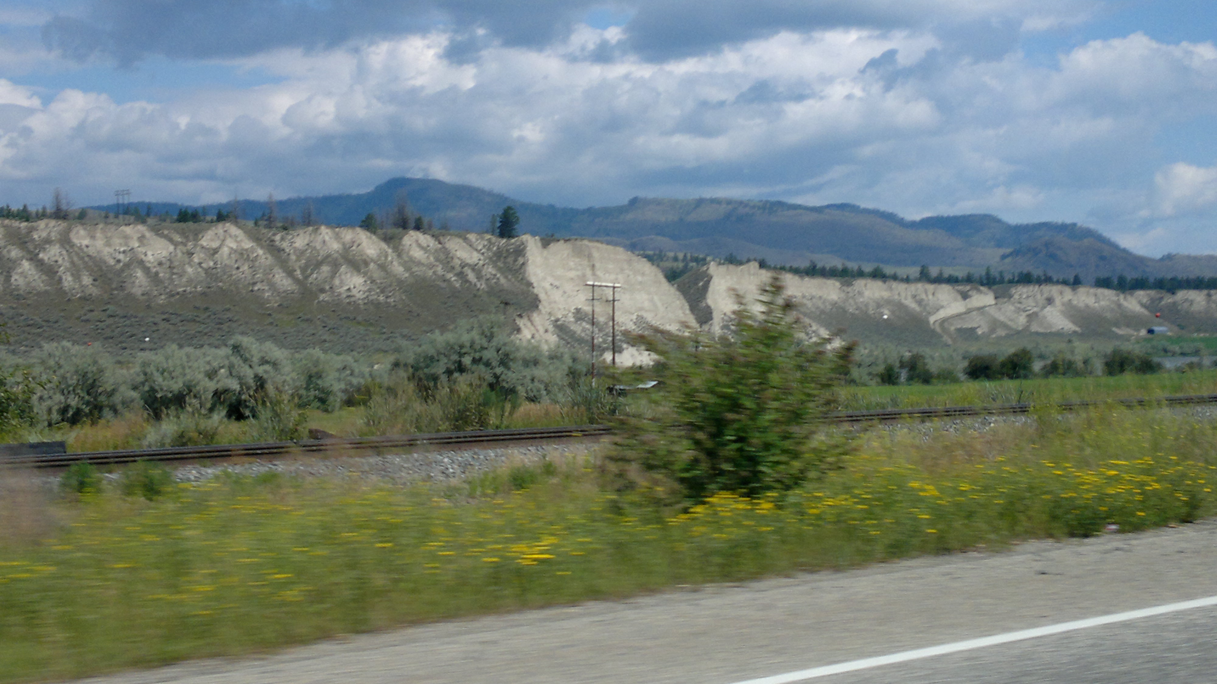
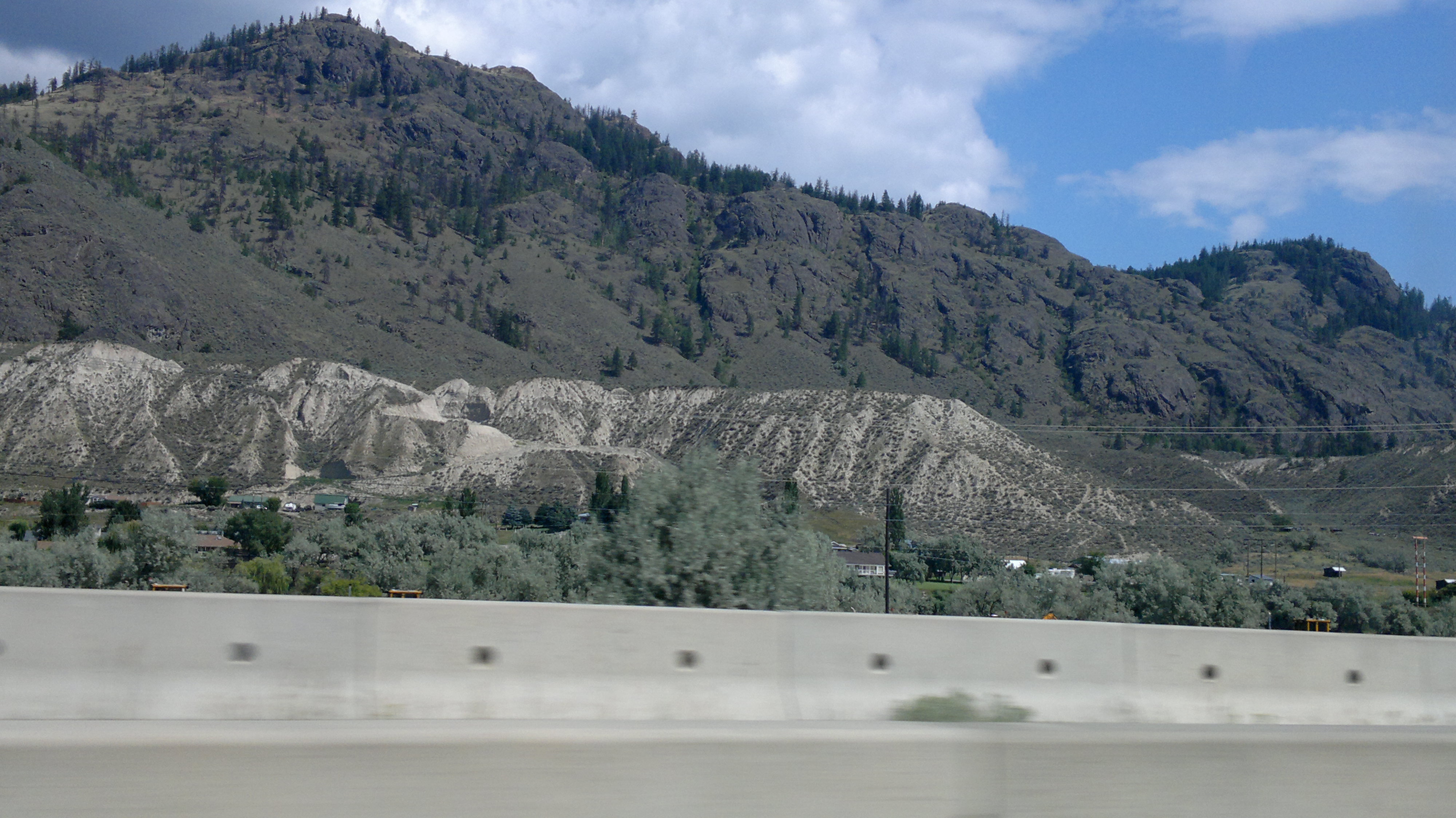
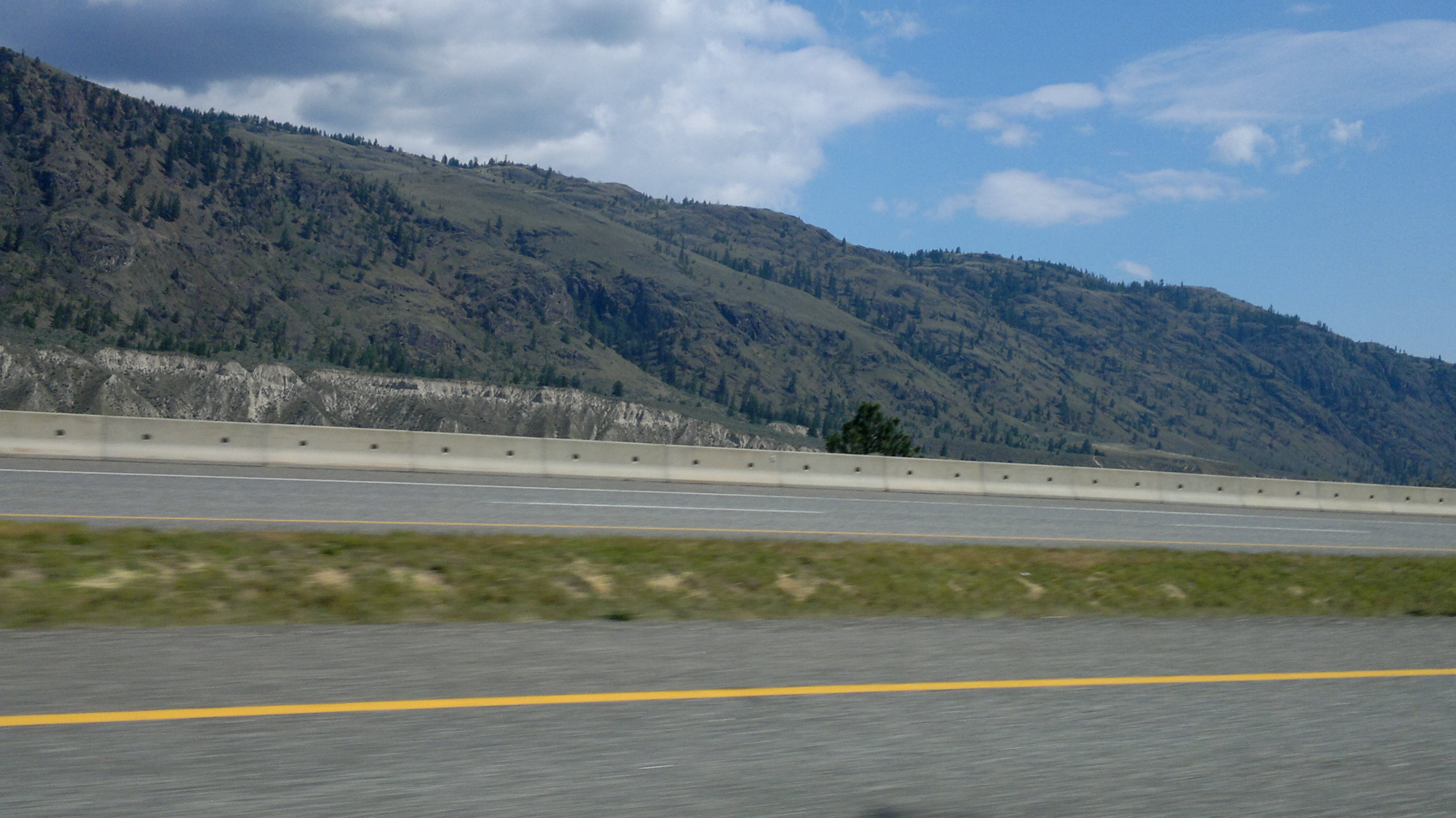
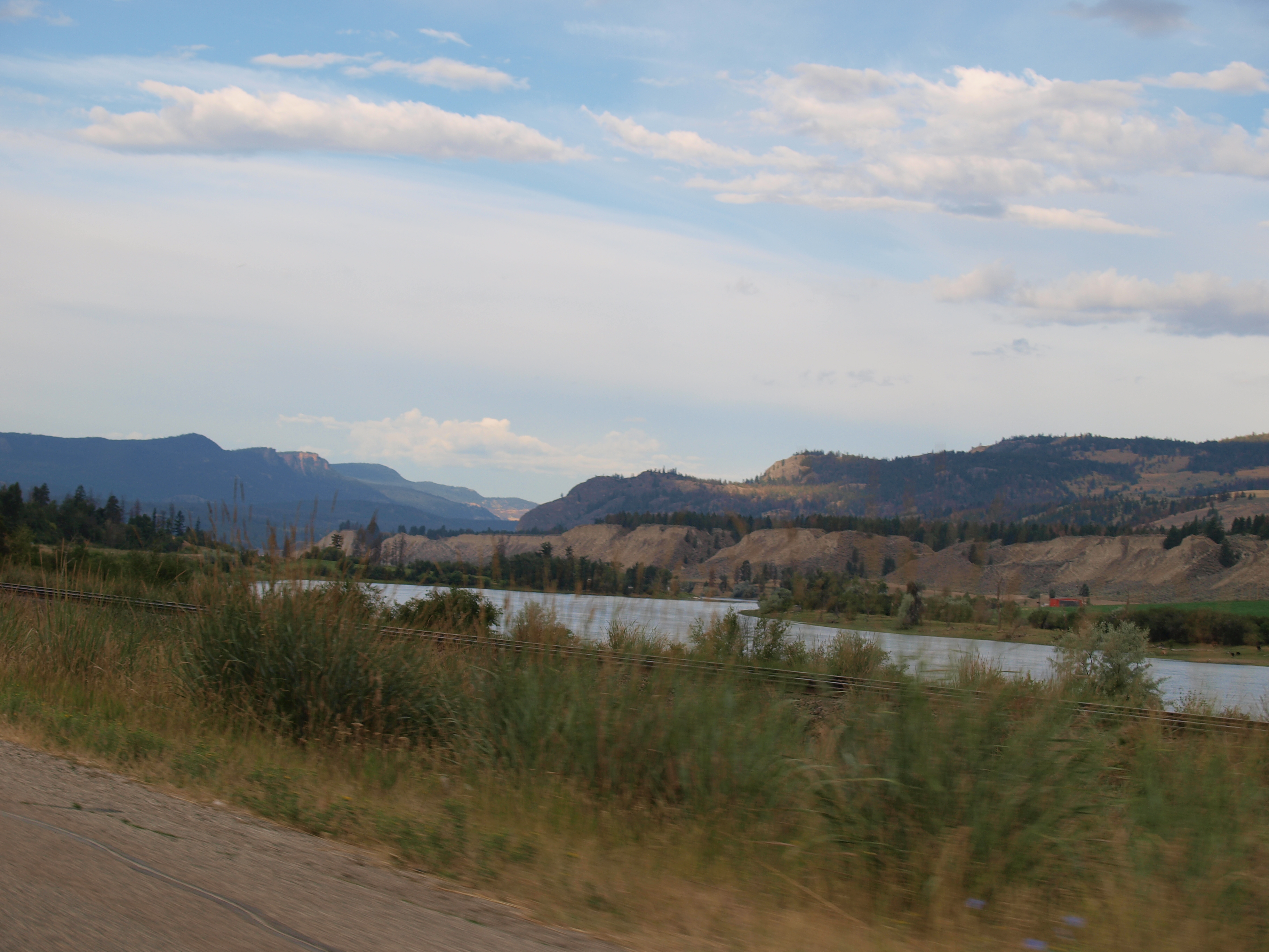
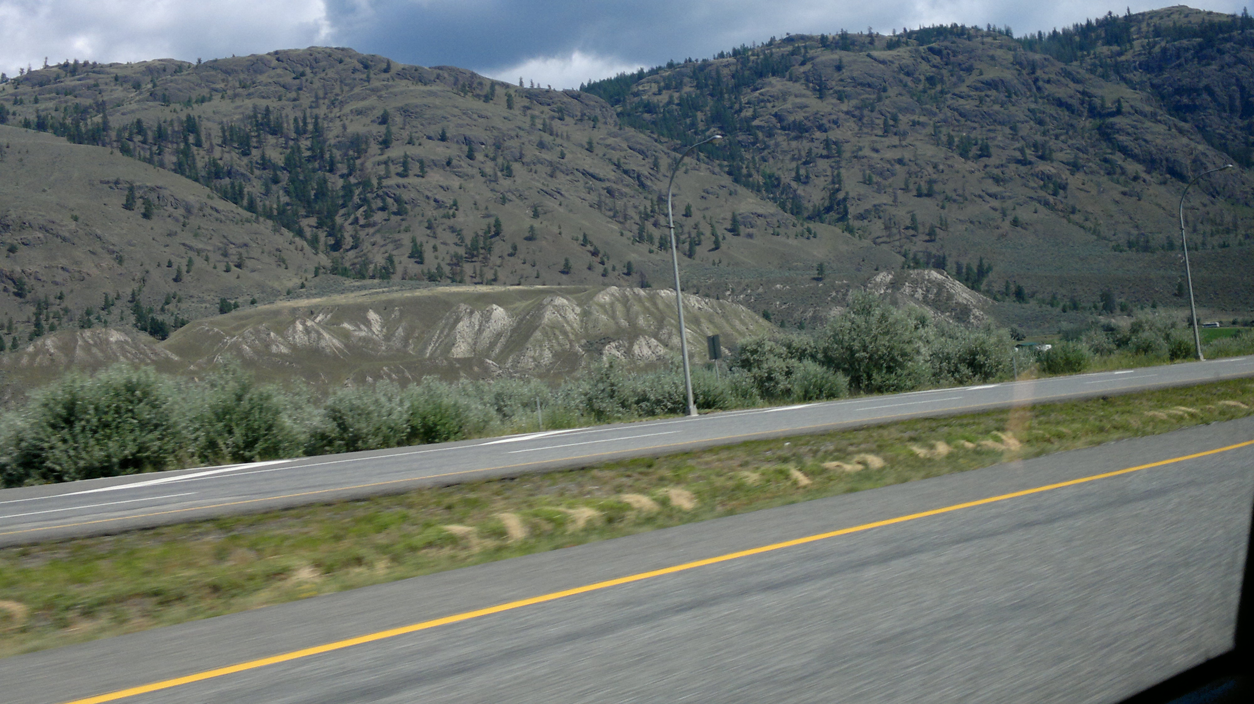
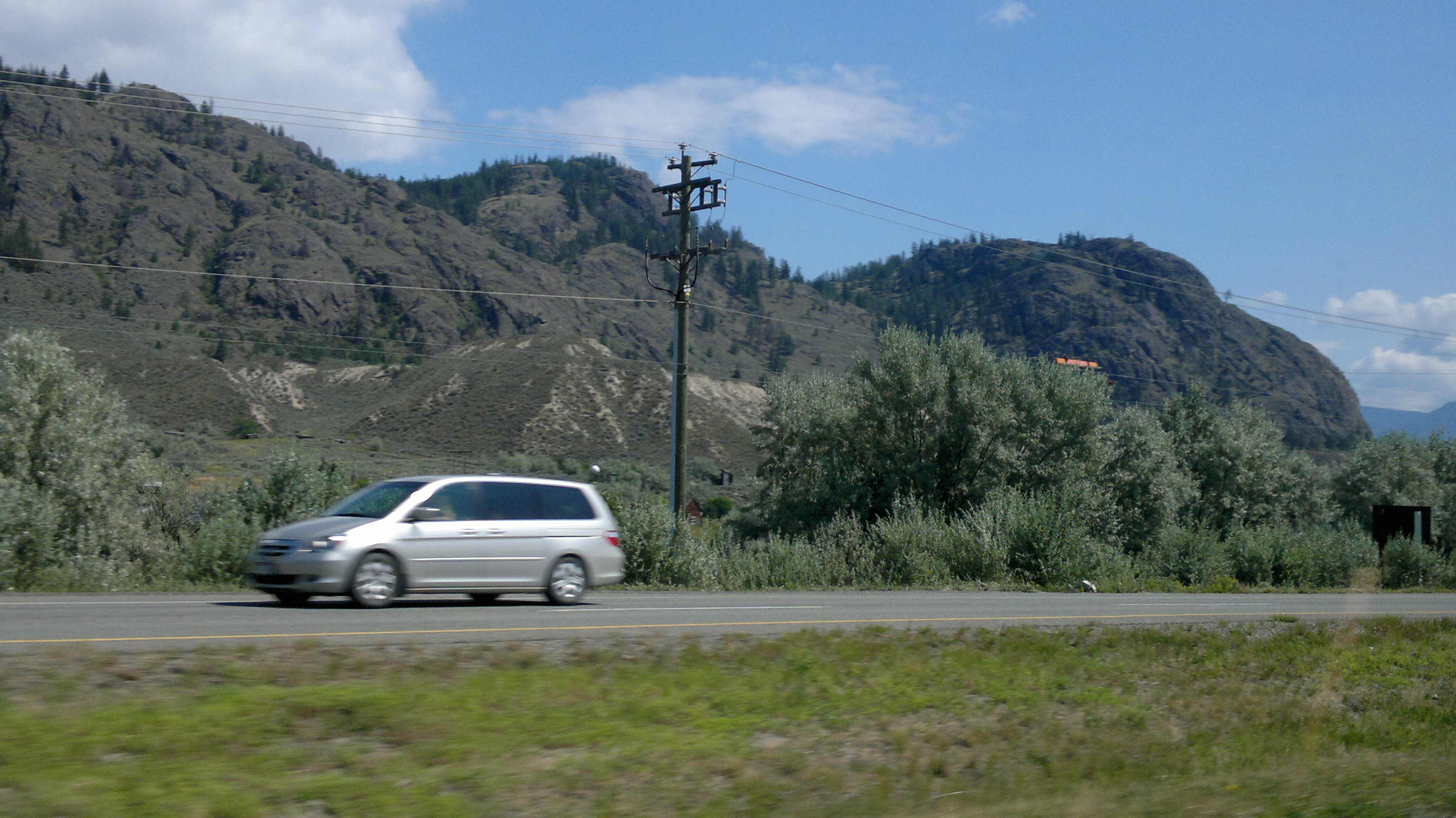
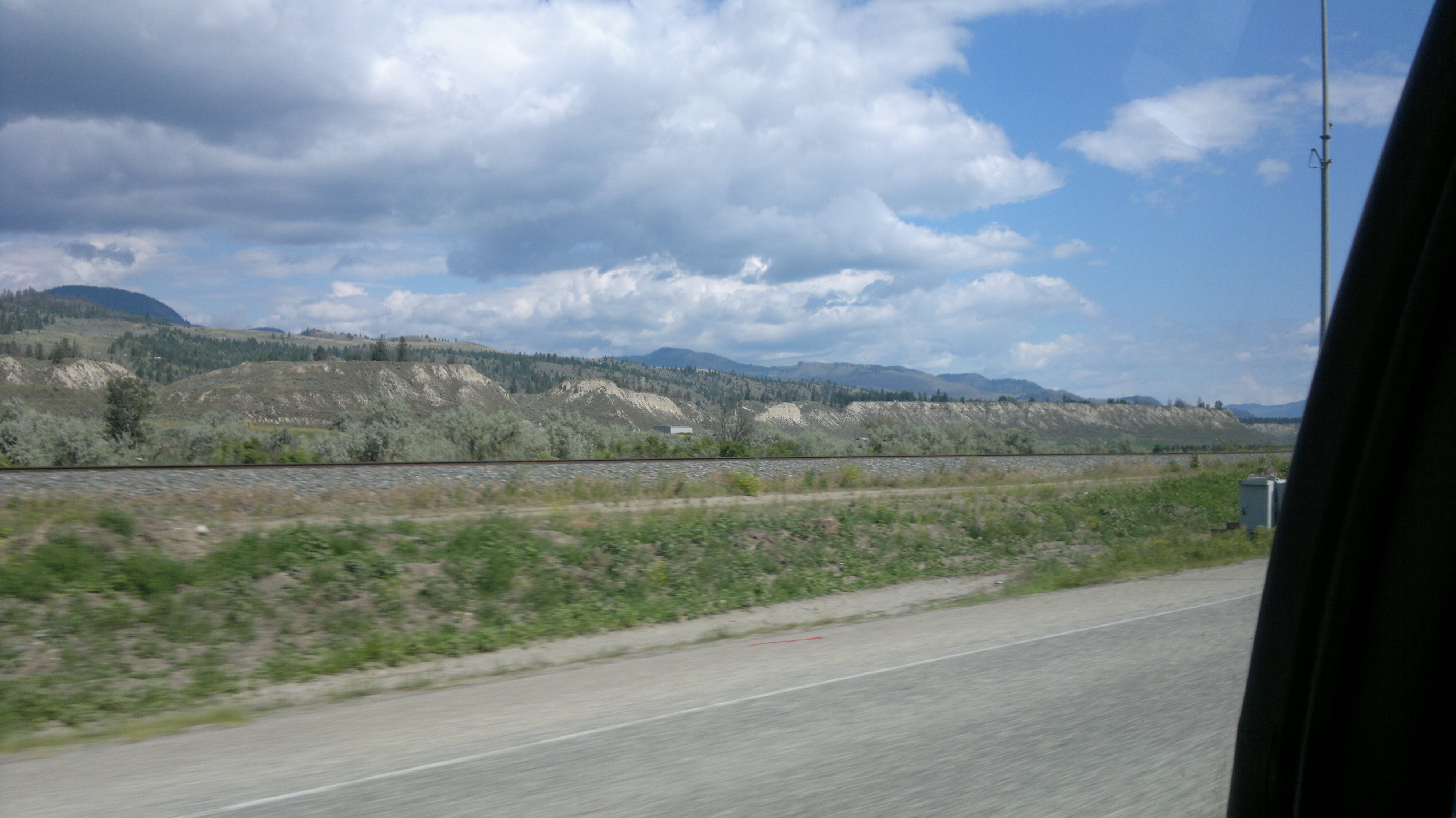
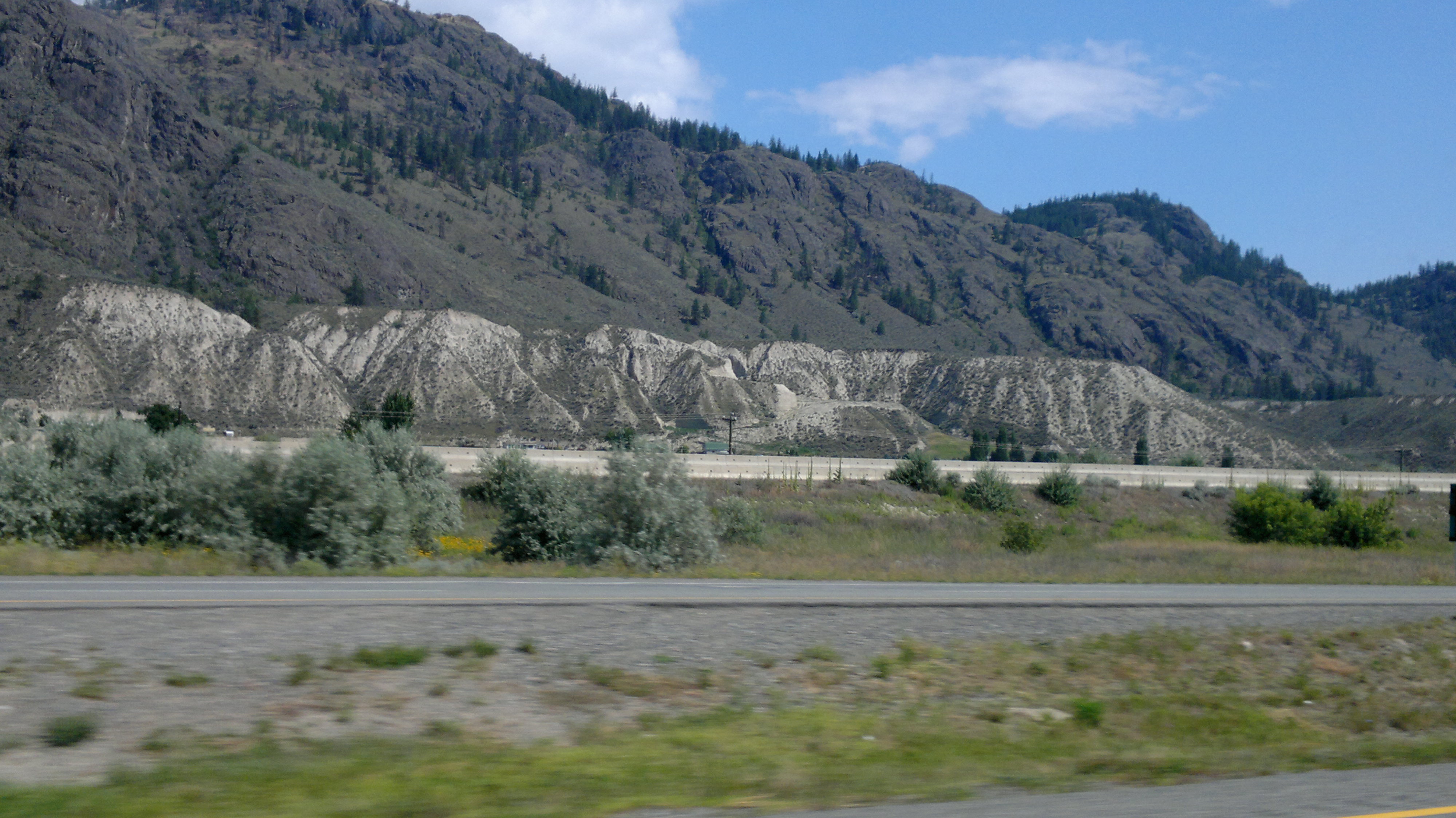
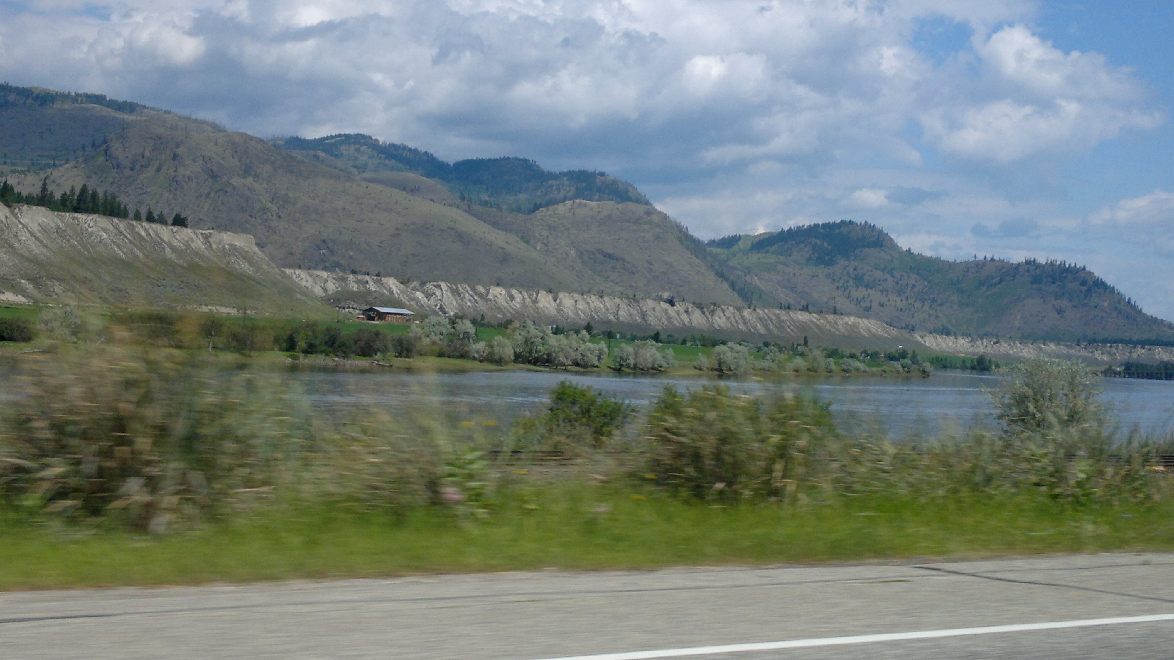
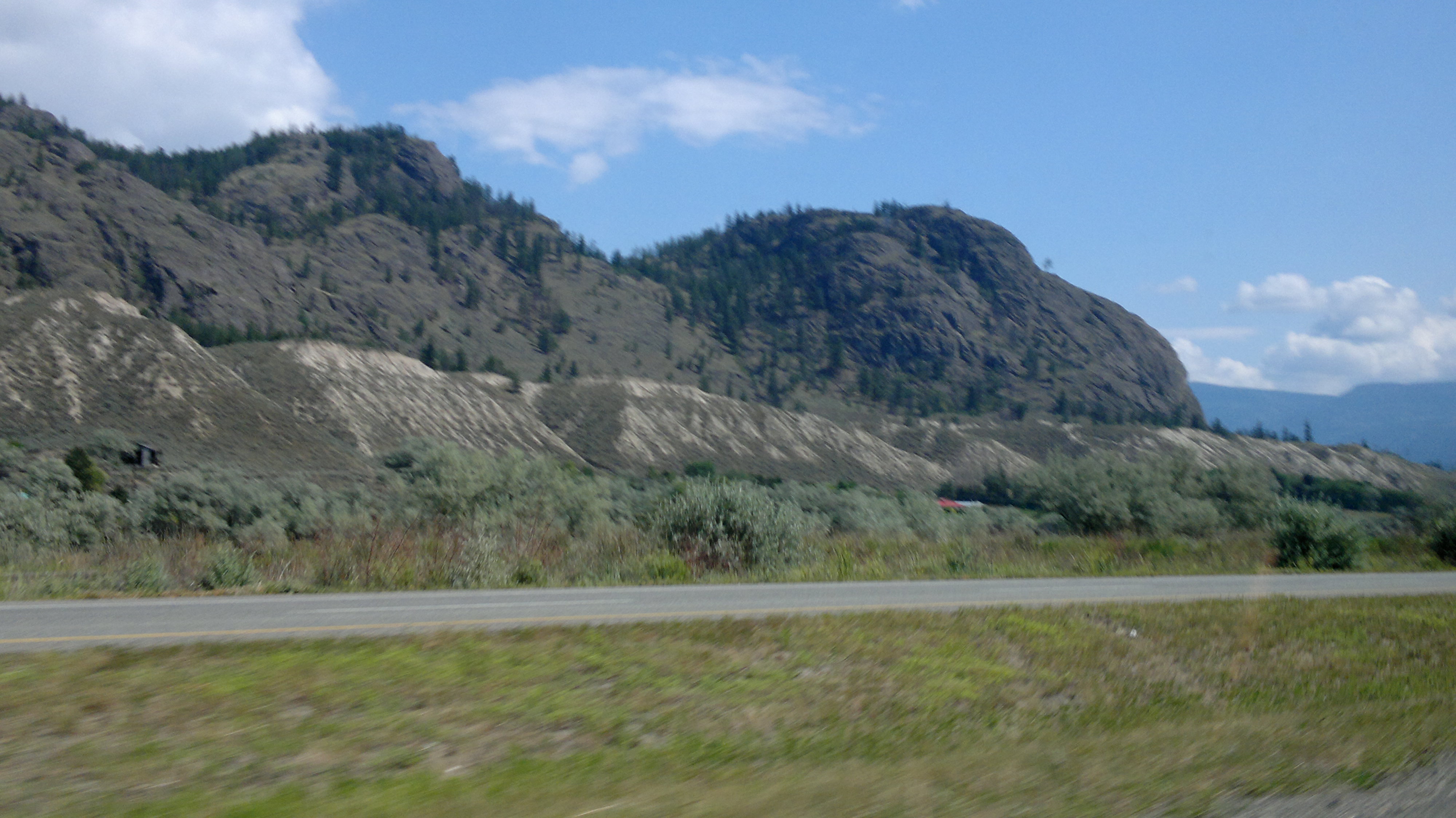
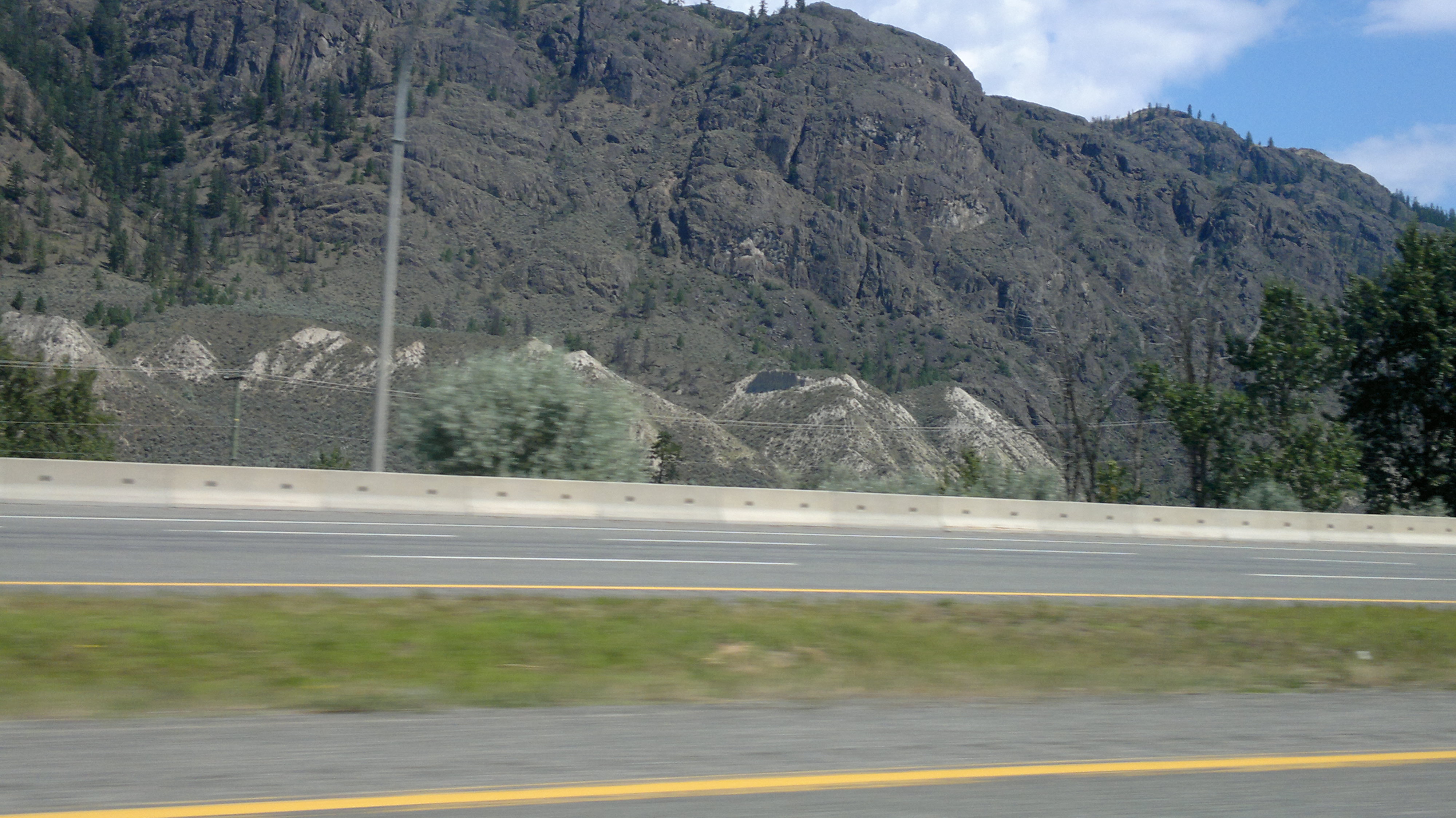
Related Photos:

Thank you, Flickr! Great Gray Owl

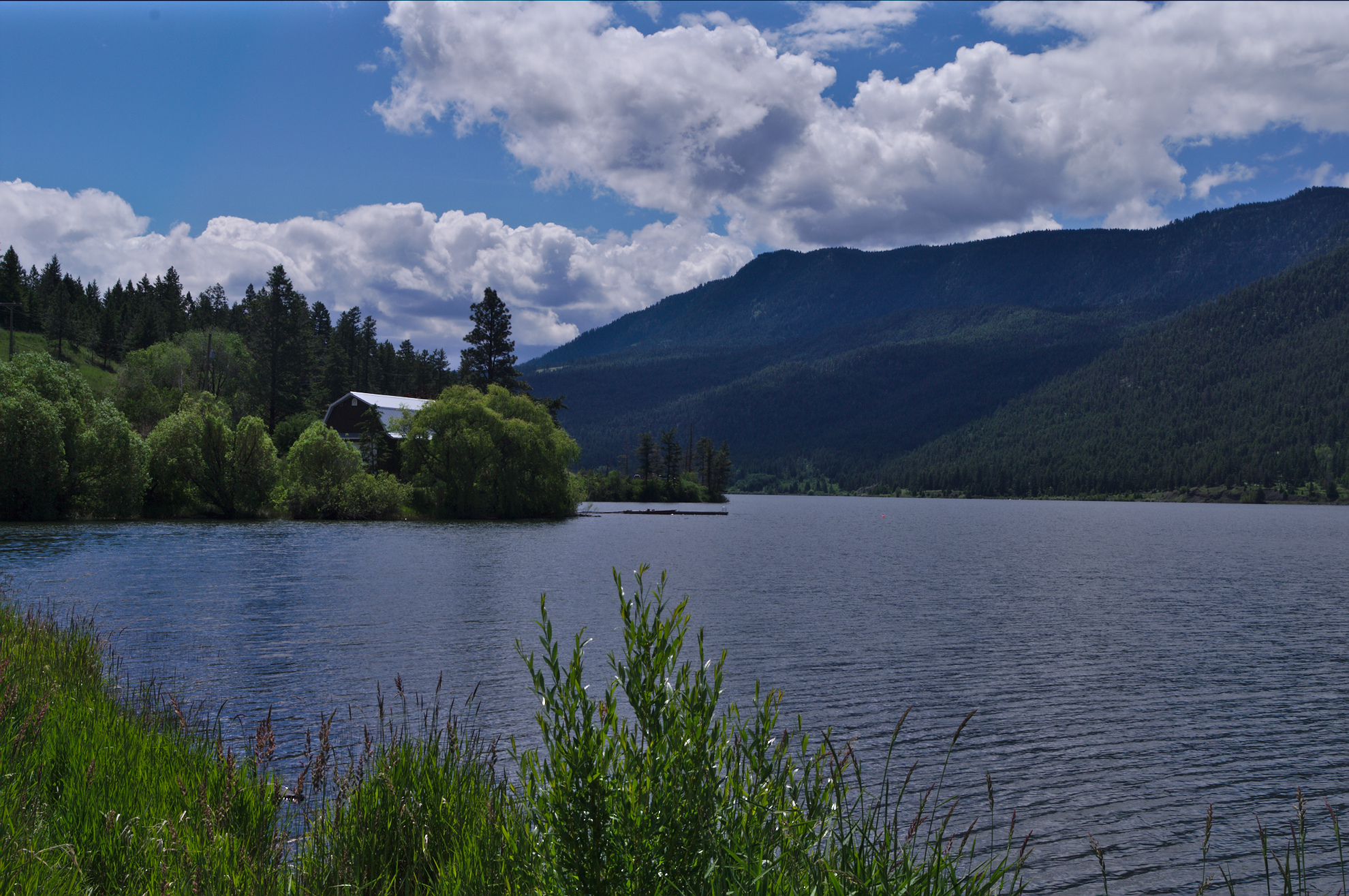
Buse Lake
2012-07-28-7447
2012-07-28-7439

2012-07-28-7439

2012-07-28-7447
2012-07-28-7429
South Thompson River, Pritchard

Kanada_06_487_Hwy 1
2012-07-28-7432

2012-07-28-7432
2012-07-28-7440
2012-07-28-7445
2012-07-28-7438

2012-07-28-7445

2012-07-28-7438
2012-07-28-7449
2012-07-28-7441
2012-07-28-7436

2012-07-28-7436
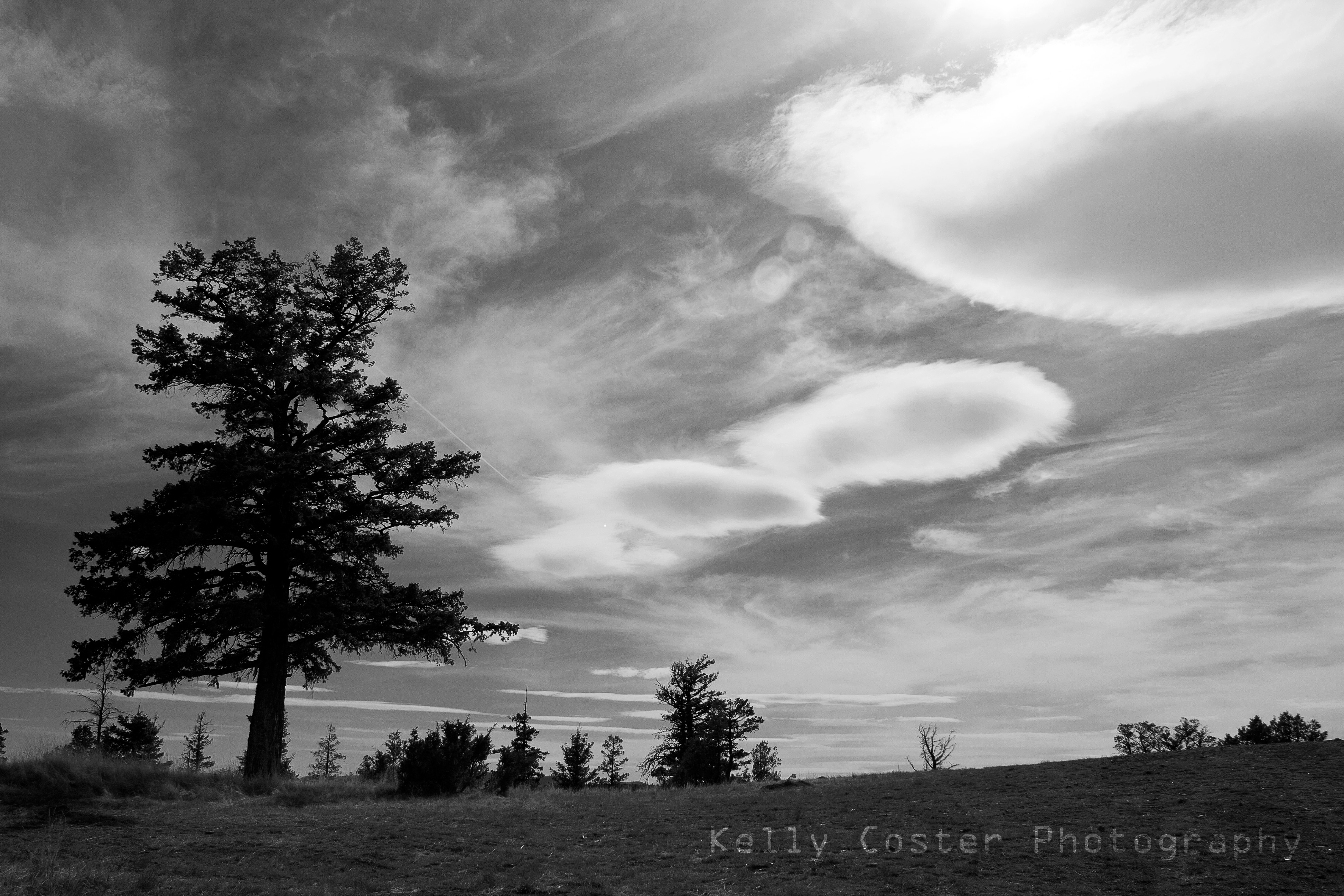
Dark Day
Monte Lake
Topographic Map of Thompson-Nicola L, BC, Canada
Find elevation by address:

Places in Thompson-Nicola L, BC, Canada:
Places near Thompson-Nicola L, BC, Canada:
Monte Lake
6825 Paxton Valley Rd
Westwold
Falkland
5880 Campbell Creek Rd
5488 Lynes Rd
1150 Simms Rd
V1s 0a3
Douglas Lake
Goose Lake
Central Okanagan G
Le Jeune, Lac
Jackpine Lake
Lac Le Jeune
Pennask Summit
Central Okanagan
Crystal Mountain Ski Resort
Rose Valley Road
Thompson-nicola M
Brenda Mines Road
Recent Searches:
- Elevation of Fern Rd, Whitmore, CA, USA
- Elevation of 62 Abbey St, Marshfield, MA, USA
- Elevation of Fernwood, Bradenton, FL, USA
- Elevation of Felindre, Swansea SA5 7LU, UK
- Elevation of Leyte Industrial Development Estate, Isabel, Leyte, Philippines
- Elevation of W Granada St, Tampa, FL, USA
- Elevation of Pykes Down, Ivybridge PL21 0BY, UK
- Elevation of Jalan Senandin, Lutong, Miri, Sarawak, Malaysia
- Elevation of Bilohirs'k
- Elevation of 30 Oak Lawn Dr, Barkhamsted, CT, USA