Elevation of Siffleur Mountain, Clearwater County, AB T0M, Canada
Location: Canada > Alberta > Division No. 9 >
Longitude: -116.40833
Latitude: 51.9316666
Elevation: 3008m / 9869feet
Barometric Pressure: 70KPa
Elevation Map:
Satellite Map:
Related Photos:

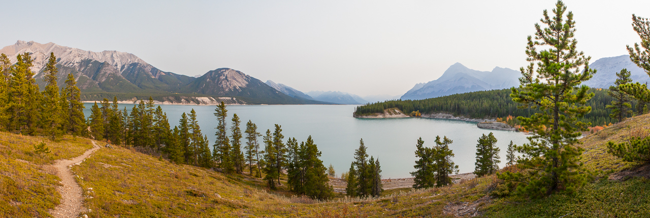
Siffleur Falls

Rocky Mountains
View at the rear of the lodge
Topographic Map of Siffleur Mountain, Clearwater County, AB T0M, Canada
Find elevation by address:

Places near Siffleur Mountain, Clearwater County, AB T0M, Canada:
Mount Loudon
Mount Peskett
Quill Ne4
Quill Peak
Marmota Peak
Conical Peak
Corona Ridge
Mount Noyes
Marmot Mountain
Mount Weed
Silverhorn Mountain
Spreading Peak
Bobac Mountain
Totem Tower
Corona Nw3
Watermelon Peak
Waterfowl Lakes
Cirque Peak
Waterfowl Lakes Campground
Bow Pass ("bow Summit") And Peyto Lake Viewpoint
Recent Searches:
- Elevation of Corso Fratelli Cairoli, 35, Macerata MC, Italy
- Elevation of Tallevast Rd, Sarasota, FL, USA
- Elevation of 4th St E, Sonoma, CA, USA
- Elevation of Black Hollow Rd, Pennsdale, PA, USA
- Elevation of Oakland Ave, Williamsport, PA, USA
- Elevation of Pedrógão Grande, Portugal
- Elevation of Klee Dr, Martinsburg, WV, USA
- Elevation of Via Roma, Pieranica CR, Italy
- Elevation of Tavkvetili Mountain, Georgia
- Elevation of Hartfords Bluff Cir, Mt Pleasant, SC, USA