Elevation of Quill NE4, Clearwater County, AB T0M, Canada
Location: Canada > Alberta > Division No. 9 >
Longitude: -116.43333
Latitude: 51.875
Elevation: 2860m / 9383feet
Barometric Pressure: 71KPa
Elevation Map:
Satellite Map:
Related Photos:
banff national park

Mountain Mono
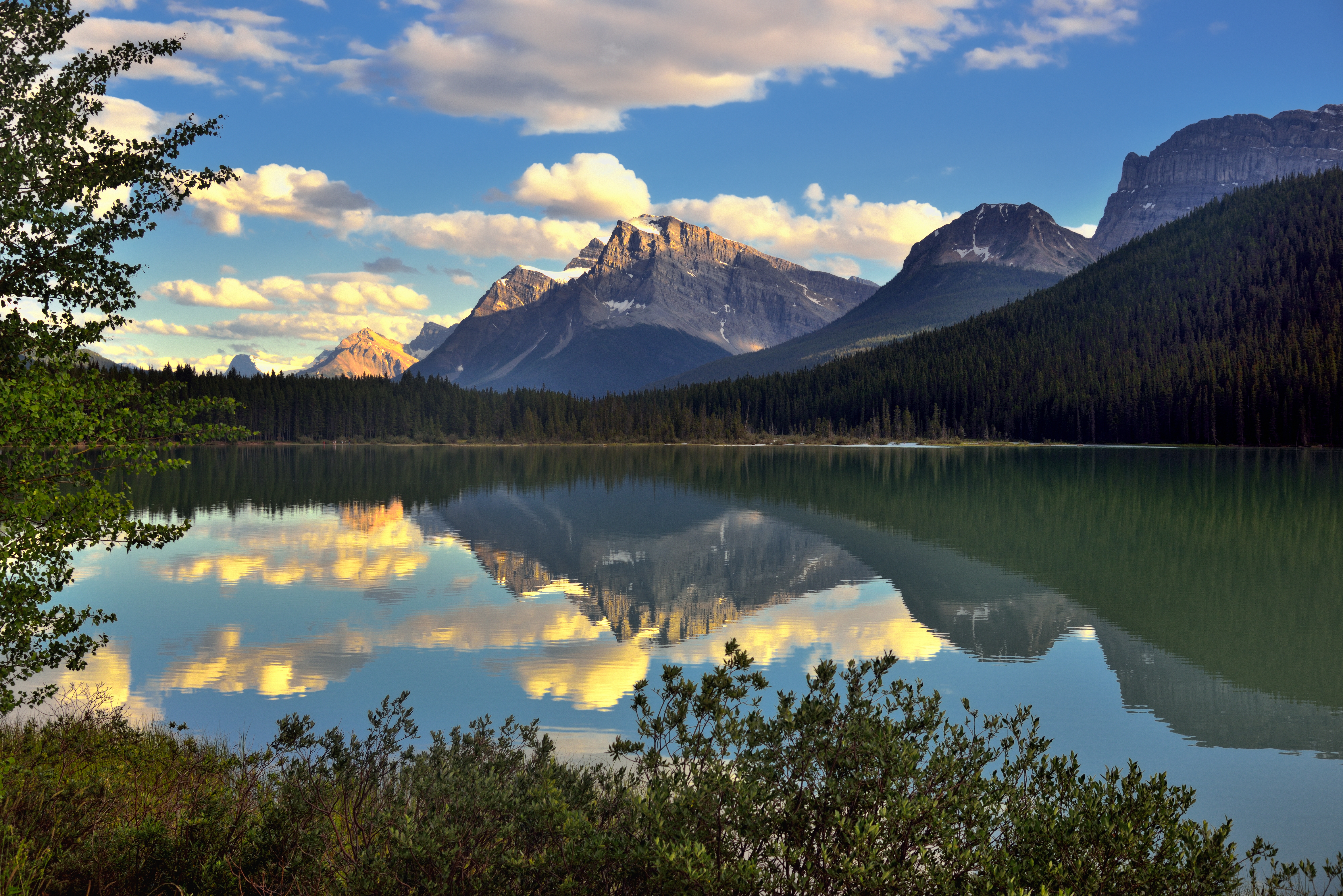
Late Afternoon Waters of Waterfowl Lakes (Banff National Park)
Waterfowl lake
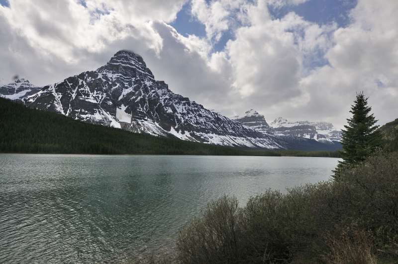
Typical Landscape

Siffleur Falls
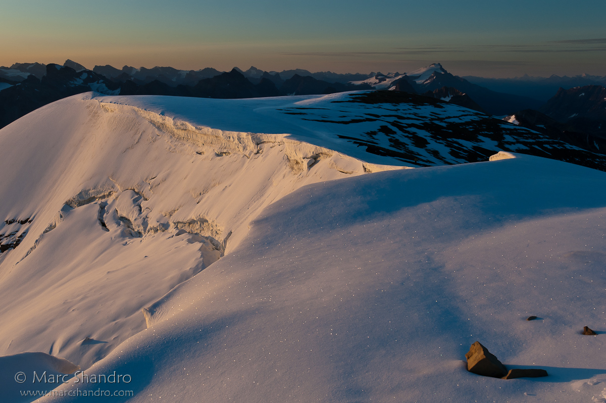
Observation Summit Sunrise

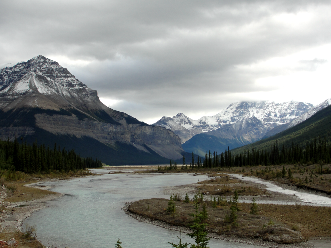
Rocky Mountains
Topographic Map of Quill NE4, Clearwater County, AB T0M, Canada
Find elevation by address:

Places near Quill NE4, Clearwater County, AB T0M, Canada:
Mount Loudon
Quill Peak
Siffleur Mountain
Mount Peskett
Marmota Peak
Conical Peak
Marmot Mountain
Mount Weed
Mount Noyes
Silverhorn Mountain
Corona Ridge
Bobac Mountain
Spreading Peak
Bow Pass ("bow Summit") And Peyto Lake Viewpoint
Peyto Lake
Bow Summit
Totem Tower
Cirque Peak
Watermelon Peak
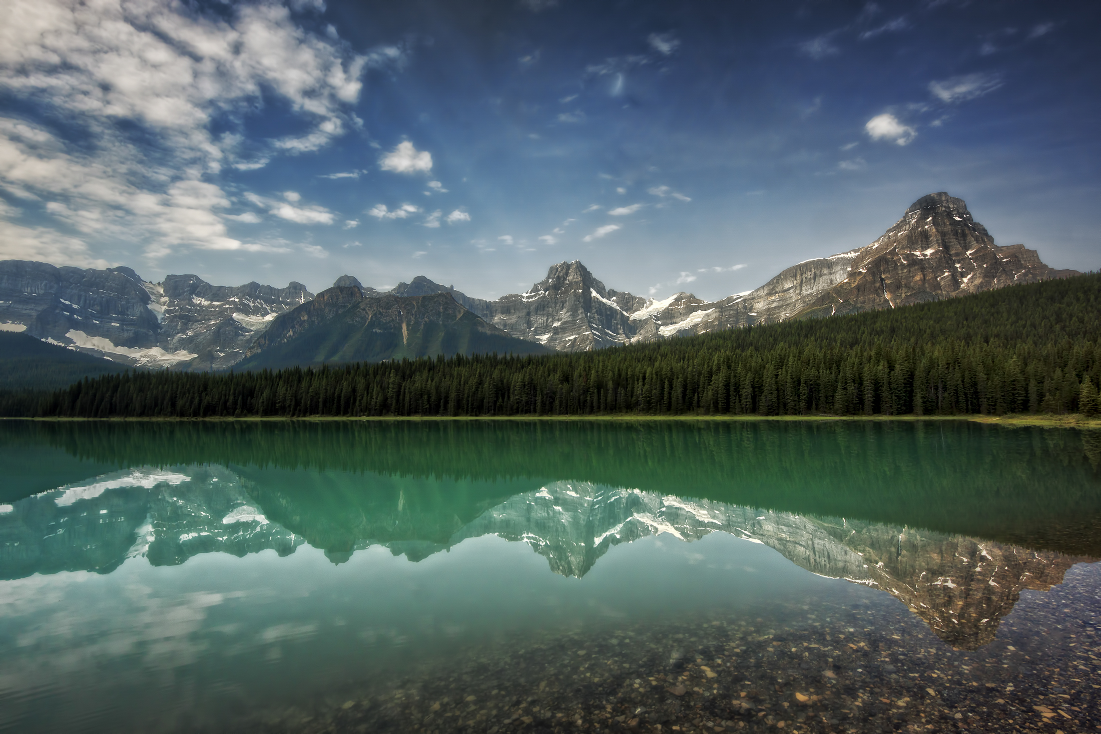
Waterfowl Lakes
Recent Searches:
- Elevation of Corso Fratelli Cairoli, 35, Macerata MC, Italy
- Elevation of Tallevast Rd, Sarasota, FL, USA
- Elevation of 4th St E, Sonoma, CA, USA
- Elevation of Black Hollow Rd, Pennsdale, PA, USA
- Elevation of Oakland Ave, Williamsport, PA, USA
- Elevation of Pedrógão Grande, Portugal
- Elevation of Klee Dr, Martinsburg, WV, USA
- Elevation of Via Roma, Pieranica CR, Italy
- Elevation of Tavkvetili Mountain, Georgia
- Elevation of Hartfords Bluff Cir, Mt Pleasant, SC, USA