Elevation of Sierra Hwy, Santa Clarita, CA, USA
Location: United States > California > Los Angeles County > Santa Clarita >
Longitude: -118.36432
Latitude: 34.5092349
Elevation: 694m / 2277feet
Barometric Pressure: 93KPa
Elevation Map:
Satellite Map:
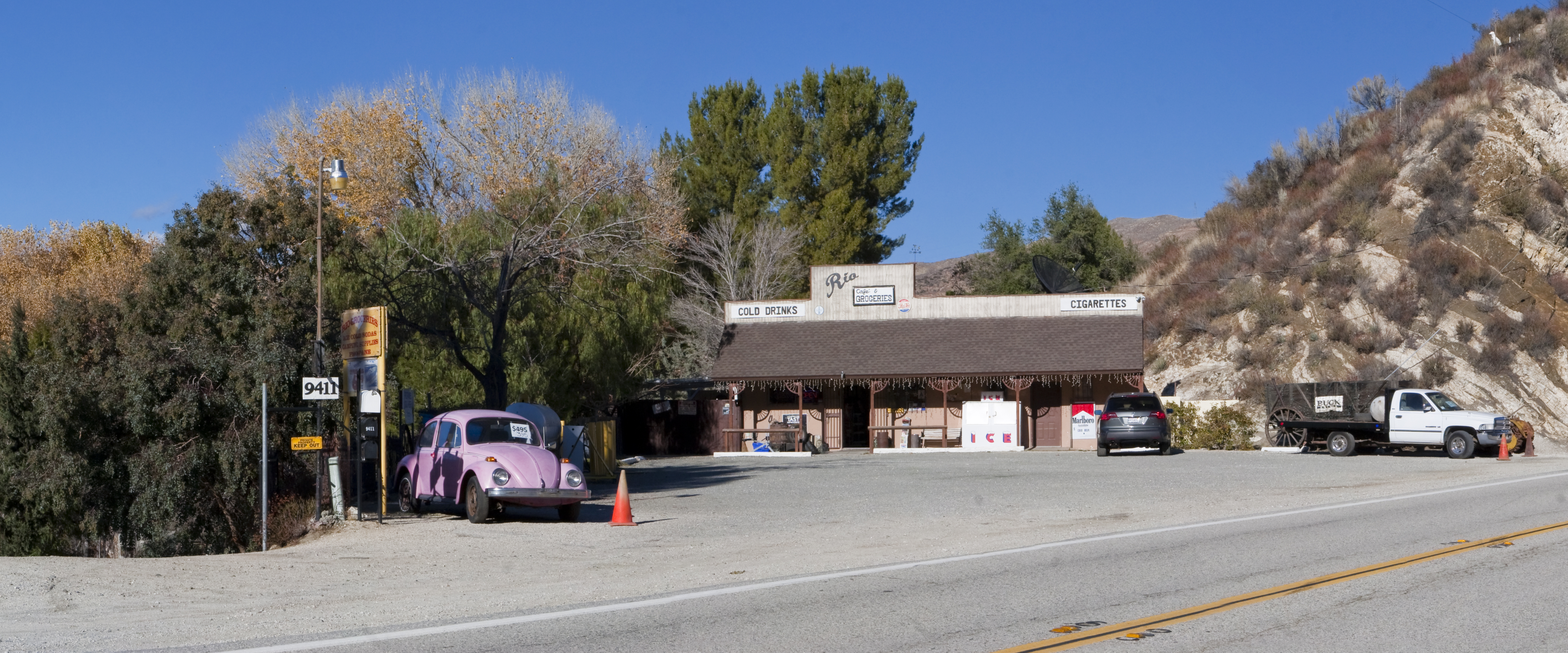
Related Photos:

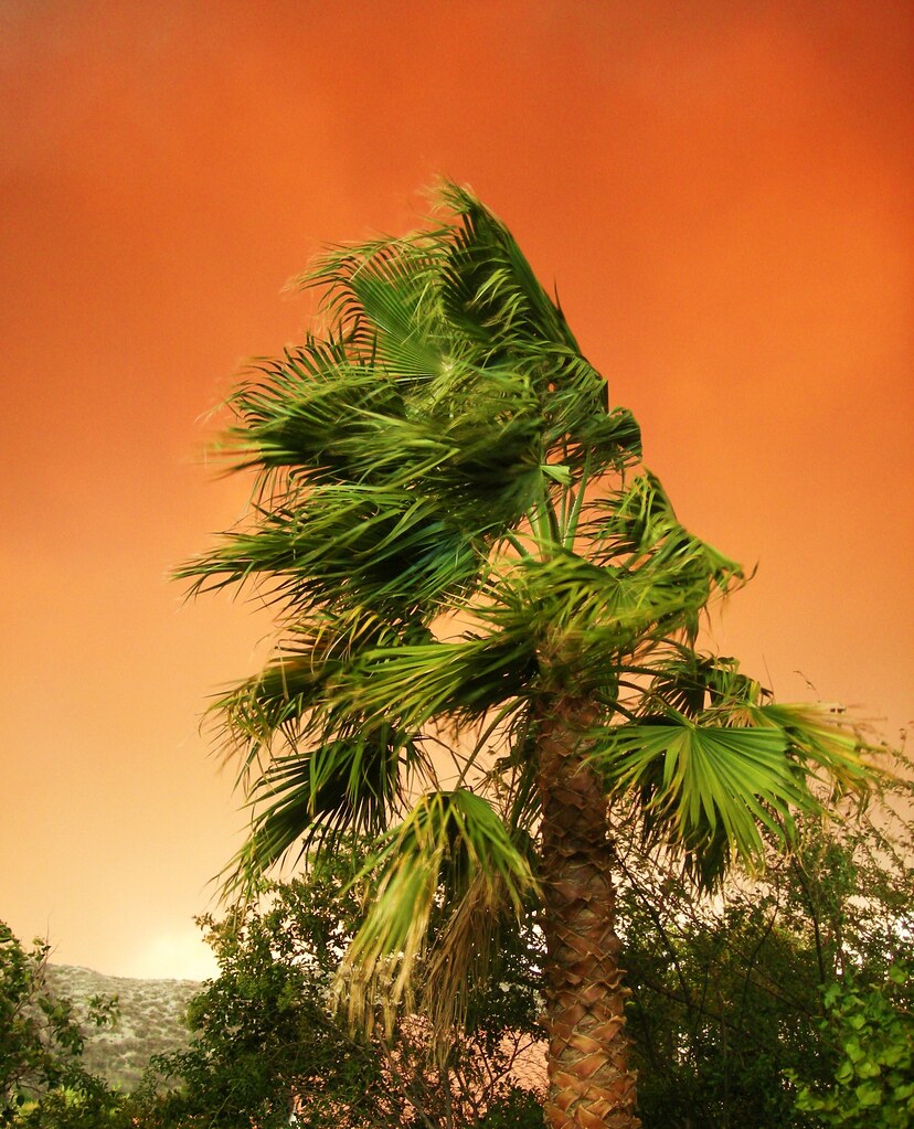
Orange Laser

Vasquez Rocks: Near Car Park

Vasquez Rocks on a Blood Moon Night
Santa Clarita, California. 10.21.07.
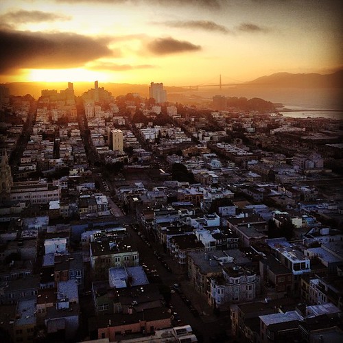
Sunset view from Coit Tower. #CoitTower #SanFrancisco #sunset #TelegraphHill #janetantepara #icucreations #urban #city
Fuego - Aqua Dulce

Sunset at Mountain View Park, Santa Clarita, California
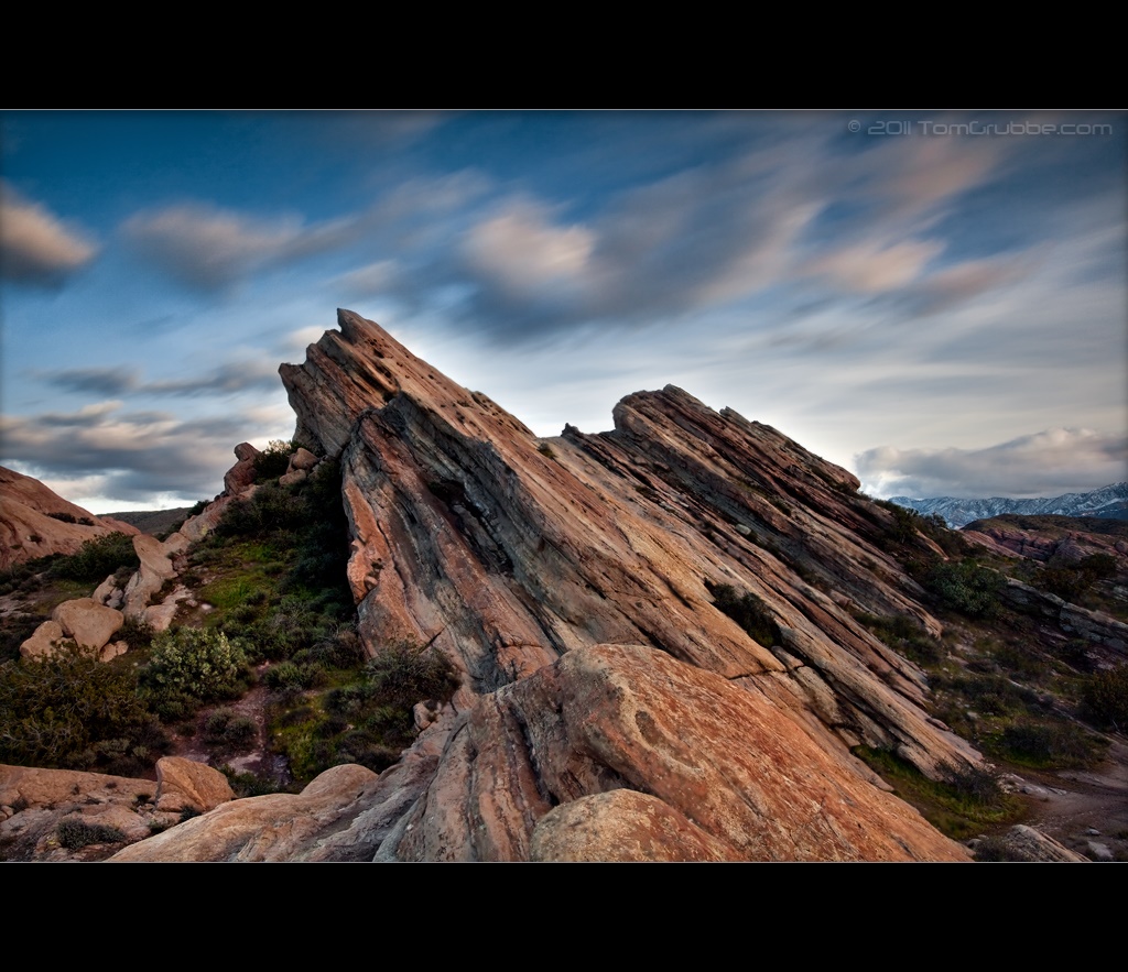
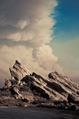
Vasquez Rocks
View from the backyard at #sunset #naturelovers #naturalbeauty #enjoylife #stopandsmelltheroses #canyoncountry #instaskies #instabeauty #inhaleexhale #instanature #in-n-out
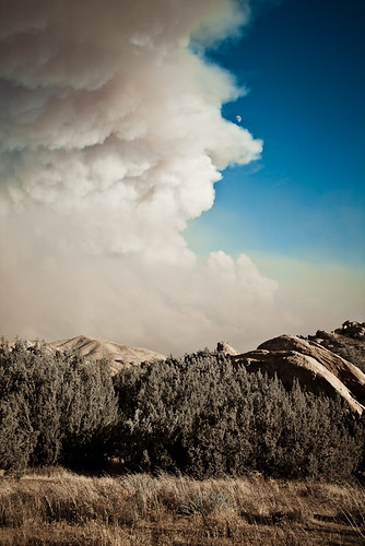
Fuego - Aqua Dulce
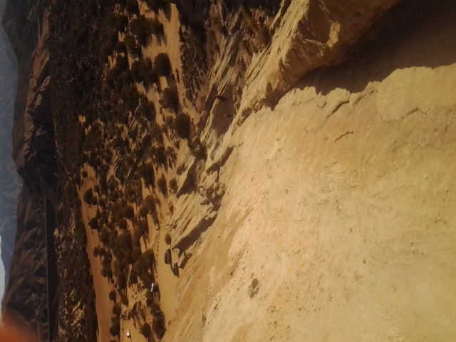
View from near the top of Vasquez Rocks
Fuego - Aqua Dulce
Last Starfighter location shoot 1 (crop)

Park View - Santa Clarita, Ca
Fuego - Aqua Dulce
Beautiful sunset while driving down the 14 #Freeway toward #Newhall, #California #Photolife #Sondralynnphotography #sky #sunset #colors #clouds #views #cold #outside #America #beautiful #nature
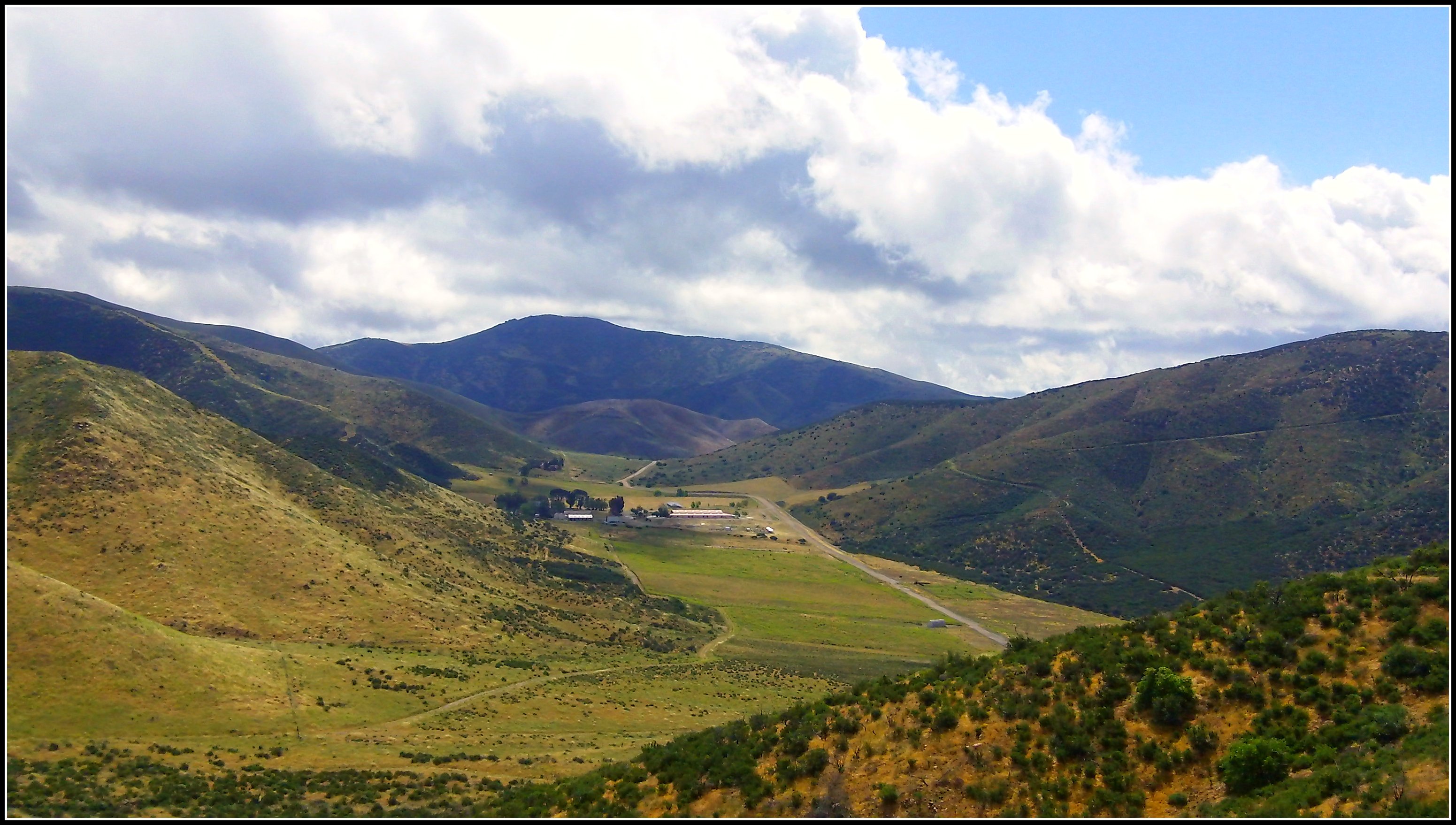
Ritter Ranch Park view from PCT

Vasquez Rocks: Coloured Swirls & Clouds

no campfires. soledad canyon, ca. 2012.

Shed and Silo
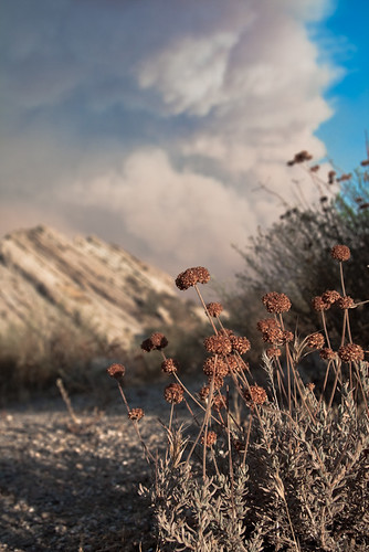
What We Can't See With Our Eyes

Vasquez Rocks 12

Vasquez Rocks Park in Aqua Dulce, CA

Great Expanse

Vasquez Rocks Panorama Edit 2 - Aqua Dulce, CA

Miles the Boggle - Vasquez Rocks

Vasquez Timescape II

My Favorite Colors

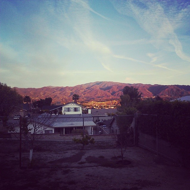
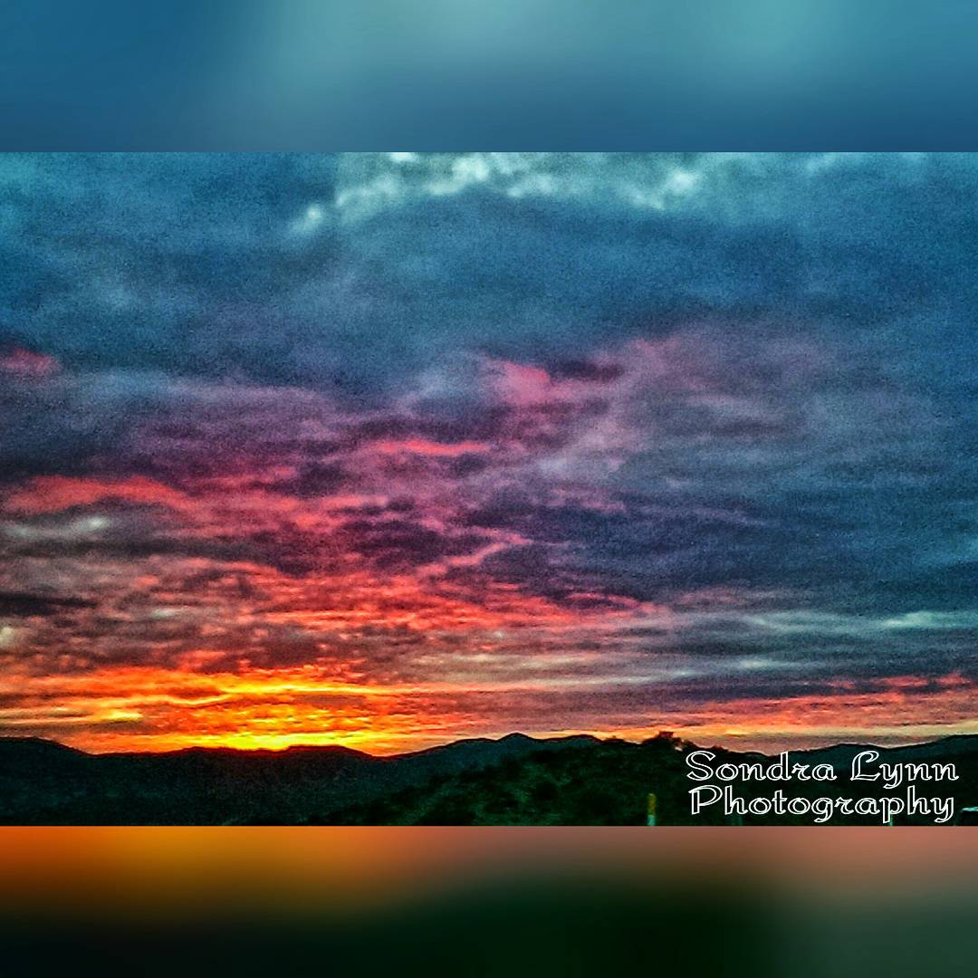
Sunset in Santa Clarita, California
2009-03-31_14-54-33_IMG_9408_q75_s10

San Diego, CA Monochrome
2009-03-31_14-50-49_IMG_9320_q75_s10_bw

The Range
Sunday morning walk in Vasquez Rocks

Vasquez Rocks Park in Aqua Dulce, CA
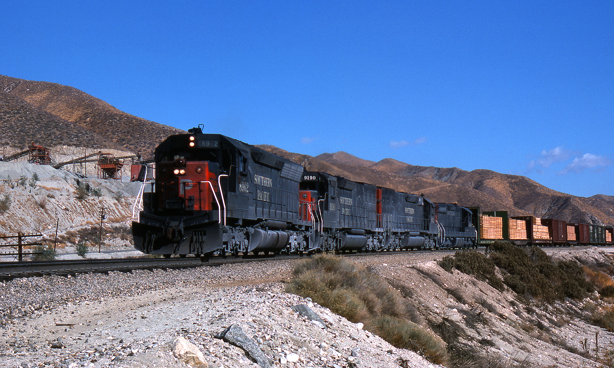
SP in Soledad Cny

The Mist part deaux ✨✌✨

Haskell Canyon Open Space Sunrise

Crown Valley Road

Sunset in Santa Clarita, California

Sunset in Santa Clarita, California
Topographic Map of Sierra Hwy, Santa Clarita, CA, USA
Find elevation by address:

Places near Sierra Hwy, Santa Clarita, CA, USA:
13580 Summit Knoll Rd
13610 Pales Rd
13520 Summit Knoll Rd
Agua Dulce Canyon Rd, Agua Dulce, CA, USA
Agua Dulce
34155 Castlehaven Rd
11215 Camino Del Sol
Vasquez Rocks Natural Area Park
34628 Bouquet Canyon Rd
34628 Bouquet Canyon Rd
16724 Vasquez Canyon Rd
Bouquet Canyon Road
35621 Beauty Vista Ln
35333 Anthony Rd
Vasquez Canyon Road
8417 Trane Rd
8216 Hierba Rd
8145 Valley Sage Rd
37861 Bouquet Canyon Rd
7865 Valley Sage Rd
Recent Searches:
- Elevation of Tenjo, Cundinamarca, Colombia
- Elevation of Côte-des-Neiges, Montreal, QC H4A 3J6, Canada
- Elevation of Bobcat Dr, Helena, MT, USA
- Elevation of Zu den Ihlowbergen, Althüttendorf, Germany
- Elevation of Badaber, Peshawar, Khyber Pakhtunkhwa, Pakistan
- Elevation of SE Heron Loop, Lincoln City, OR, USA
- Elevation of Slanický ostrov, 01 Námestovo, Slovakia
- Elevation of Spaceport America, Co Rd A, Truth or Consequences, NM, USA
- Elevation of Warwick, RI, USA
- Elevation of Fern Rd, Whitmore, CA, USA