Elevation of Valley Sage Rd, Acton, CA, USA

Location: United States > California > Los Angeles County > Acton >

Longitude: -118.27712

Latitude: 34.4957839

Elevation: 927m / 3041feet

Barometric Pressure: 91KPa

Elevation Map:

elevation map of Valley Sage Rd, Acton, CA, USA

Satellite Map:

Satellite map of Valley Sage Rd, Acton, CA, USA

Related Photos:

shadow abstract tree silhouette festival digital sunrise canon rainbow saturated colorful spectrum branches balloon surreal eerie hotairballoon 5d glowing inside juxtaposition ballooning within skyparade abigfave jerikojosh makeonesday
From inside a rainbow...
downhilldesertroad desertroad californiaaqueduct joshuatree meandering mojavedesert mohavedesert antelopevalley california joelach tierrasubidaroad
Downhill Desert Road
california vasquezrocksnaturalarea nikond7000 nikkor18to200mmvrlens
Pointing Clouds
losangeles fire fuego smoke clouds billowing forrest angelesnationalpark park sky 1785mm roadtrip journey moon desert dry heat smog baseball chp cop roadblock culvercity view aquadulce highway
Fuego - Aqua Dulce
longexposure eclipse jump bloodmoon vasquezrocks krockymeshkin reversebloodmoon
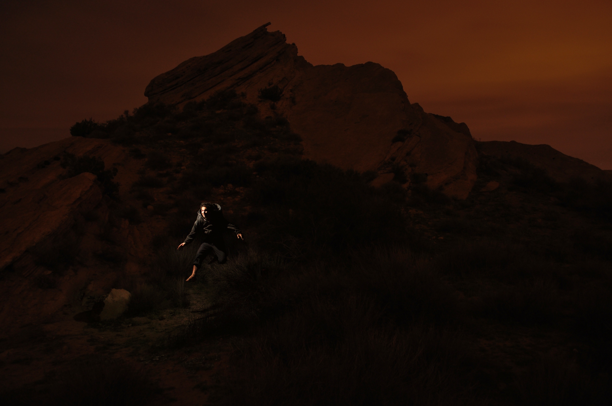
Vasquez Rocks on a Blood Moon Night
california red signs color 120 6x6 mamiya film sign yellow danger analog america forest warning mediumformat square fire typography highway kodak no text letters dry icon canyon ishootfilm sierra boring hwy negative charcoal signage smokey type americana soledad analogue roadside mamiya6 portra russ campfires acton brushfire banal smokeythebear ordinary typographic emulsion restrictions eggleston 75mm aguadulce c41 usfs 160nc primes tinder kodakportra160nc onlyyoucanpreventforestfires eyetwist 6mf sierrahighway mamiya6mf theicon ishootkodak f35l epsonv750pro filmexif filmtagger eyetwistkevinballuff mamiya75mmf35l colornegativec41
no campfires. soledad canyon, ca. 2012.
600views 400views 300views 200views 365days day2 jen livingroom smile santaclarita shadowpines christmasball tree holiday reflection smartphone cameraphone iphone8plus wednesday january
2/365
500views 400views 300views 365dayproject woman jen 10secondtimer santaclarita shadowpines streetlight iphone8plus timer monday october 365days
289/365
california vasquezrocksnaturalarea nikond7000 nikkor18to200mmvrlens
Vasquez Rocks: Near Car Park
Southbound on Soledad
californiaaqueduct downhill road street joshuatree mojavedesert mohavedesert antelopevalley tehachapi mountain panorama panoramic joelach
A View of the Aqueduct
westantelopevalley antelopevalley californiaaqueduct panorama panoramic quartzhill california joelach
West Antelope Valley
lightning antelopevalley palmdale vistapoint thunderstorms antelopevalleyfreeway lakepalmdale californiacaliforniaaquaduct
Thunderstorms over the Antelope Valley
californiaaqueduct roundsabend curves river stream canal path hiking walkingpath antelopevalley view mohavedesert mojavedesert california bluesky valley joelach
Aqueduct Curves
A Study in Blue....
park sky moon clouds fire smog losangeles highway view desert forrest baseball smoke dry roadtrip journey cop heat chp fuego 1785mm roadblock culvercity billowing aquadulce angelesnationalpark
Fuego - Aqua Dulce
california vasquezrocksnaturalarea nikond7000 nikkor18to200mmvrlens
Vasquez Rocks: View while climbing
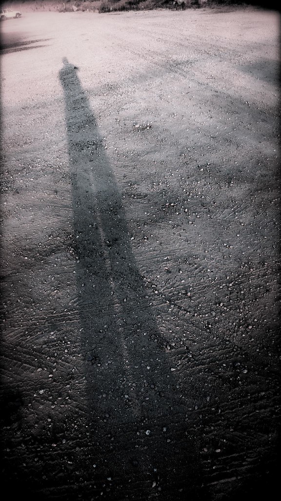
shadow me self photography site construction rocks brian ground andrew dirt tall lang gravel santaclarita canyoncountry shadowofme tallshadow briangurrola langstation
Shadow of Me
holga koi boiled burned mishap koifish abusednegative
Burned and Boiled
lightning antelopevalley palmdale vistapoint thunderstorms antelopevalleyfreeway lakepalmdale californiacaliforniaaquaduct
Thunderstorms over the Antelope Valley
lightning antelopevalley palmdale vistapoint thunderstorms antelopevalleyfreeway lakepalmdale californiacaliforniaaquaduct
Thunderstorms over the Antelope Valley
topoftheav topoftheantelopevalley lakepalmdale californiaaqueduct panoramic panorama desertroad mojavedesert horizon mohavedesert antelopevalley joelach
Top of the Antelope Valley
california ca blue sky usa white mountain green berg yellow rock lumix losangeles spring bush afternoon cross unitedstates sunny panasonic clear freeway vegetation antelopevalley santaclarita fwy vasquesrocks escondidocanyon dmcfz18 aguedulce
2009-03-31_14-54-33_IMG_9408_q75_s10
bouquetcanyon sierrapelonamountains path dirt hiking trail green mountain walking bouquetcanyonroad joelach
A Path in Bouquet Canyon
california road leica sky bw usa white mountain plant black tree monochrome berg grass car sign landscape lumix highway afternoon cross traffic unitedstates hill gray pole panasonic clear alpine freeway vegetation vehicle grayscale antelopevalley asphalt ilford dmc santaclarita centerdivider vasquezrocks fwy dmcfz18 aguadulcecanyonrd escondinocanyon
2009-03-31_14-50-49_IMG_9320_q75_s10_bw
cameraphone usa phone camerphone iphone phoneography iphone4s
Surfs up Jimm
photography travel landscape vistalinks instagram flickr geotagged unitedstatesofamerica
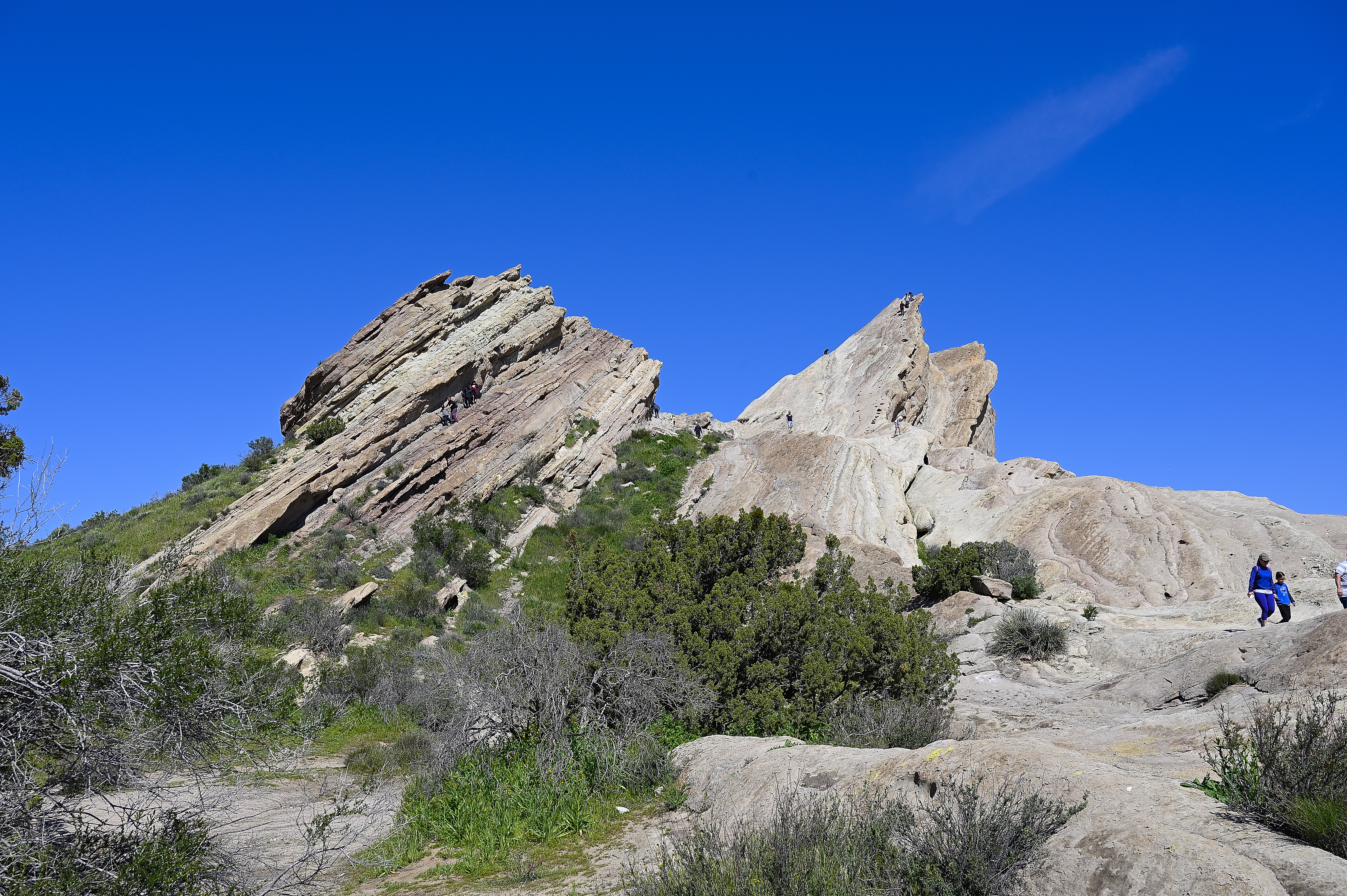
Vasquez Rocks Natural Area Park
world california ca camera travel copyright tourism apple nature beautiful digital america canon matt landscape photography eos rebel scenery rocks aqua flickr raw hiking united scenic adventure socal states geology dslr dulce lightroom hovland vasquez vasquezrocks aquadulce 650d t4i
Vasquez Rocks - Aqua Dulce, CA
california ca camera travel pet beagle nature boston canon landscape photography eos rebel back site los mix angeles hiking canyon nike adventure trail terrier socal missile miles breed dslr boggle lightroom westridge dogoftheday hikingdog 650d t4i lacom boglen discoverla iflmdog
Miles the Boggle - Vasquez Rocks
650d canonefs1018mmf4556isstmlens matthovland aquadulce california canon cloudy dslr eos geography hiking hovland kiacadenza landofhov landscape lightroom matt nature park photography portrait rebel rocks socal stormy sweetwater t4i toddler travel vasquezrocks wide wideangle winter
2017-02-26 Vasquez Rocks in Aqua Dulce, CA
california losangelescounty southerncalifornia geology nature vasquezrocks nationalregisterofhistoricplaces rockformation sierrapelonamountains vasquezrocksnaturalareapark aguadulce santaclarita unitedstates us
DSC_6433-HDR-Pano.jpg
cameraphone usa phone camerphone iphone phoneography iphone4s
Vasquez Rocks (Star Trek)
ca california autumn 395 statepark redrockcanyon acton unitedstatesofamerica
Red Rock Canyon State Park
california park ca beagle nature canon landscape bostonterrier eos rebel mix raw hiking socal breed dslr boggle lightroom vasquezrocks aquadulce dogoftheday 650d t4i boglen iflmdog milestheboggle
Miles the Boggle - Vasquez Rocks
california longexposure clouds landscape rocks desert rockformation vasquez vasquezrocks vasquezrocksnaturalareapark mdx400
Vasquez Timescape II
californiaaqueduct snaking hills river stream mojavedesert mohavedesert antelopevalley joelach
Aqueduct through the Hills
palmdale regional airport california
Palmdale regional airport