Elevation of Short Cut Rd, Oreana, ID, USA
Location: United States > Idaho > Owyhee County > Oreana >
Longitude: -116.39183
Latitude: 43.0519924
Elevation: 851m / 2792feet
Barometric Pressure: 92KPa
Elevation Map:
Satellite Map:
Related Photos:

Clark’s Ferry

Just over the next rise

Castle Butte---the hill that did not want to be bothered... 20050623_4610
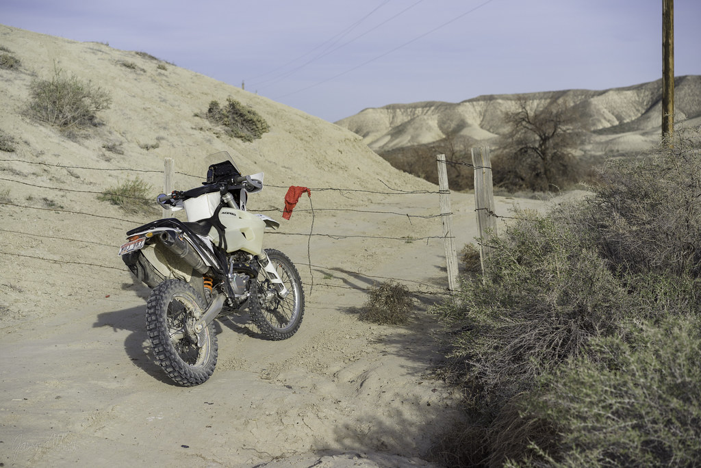
Red flag

Block walls

C705 to 900

All to ourselves

Rent negotiable

Browns Creek

Hunter’s leap

Owyhee Desert Drainage

Thunderstorm Over The Owyhees

Snake River Birds of Prey

Hangers-on

Here or there
C231 gate

Castle walls

Rib-eye

Higher?
Lizard pursuit

Oregon Trail road-cut

2019 Day 109 - Morley Nelson Birds of Prey Conservation Area

Joyce Ranch owyhee county

Castle gate
Topographic Map of Short Cut Rd, Oreana, ID, USA
Find elevation by address:

Places near Short Cut Rd, Oreana, ID, USA:
Oreana
Silver City Road
Murphy
Warren Spur Rd, Melba, ID, USA
Initial Point Road
Melba
4th St, Melba, ID, USA
Base Line Road
ID-45, Melba, ID, USA
11060 Park Rd
Melmont Rd, Melba, ID, USA
Johnston Ln, Melba, ID, USA
S Eagle Rd, Kuna, ID, USA
5710 S Can-ada Rd
5708 S Can-ada Rd
W Thompson Rd, Kuna, ID, USA
Barker Rd, Kuna, ID, USA
5705 S Can-ada Rd
5700 Happy Valley Rd
4th Ave, Nampa, ID, USA
Recent Searches:
- Elevation of Redondo Ave, Long Beach, CA, USA
- Elevation of Sadovaya Ulitsa, 20, Rezh, Sverdlovskaya oblast', Russia
- Elevation of Ulitsa Kalinina, 79, Rezh, Sverdlovskaya oblast', Russia
- Elevation of 72-31 Metropolitan Ave, Middle Village, NY, USA
- Elevation of 76 Metropolitan Ave, Brooklyn, NY, USA
- Elevation of Alisal Rd, Solvang, CA, USA
- Elevation of Vista Blvd, Sparks, NV, USA
- Elevation of 15th Ave SE, St. Petersburg, FL, USA
- Elevation of Beall Road, Beall Rd, Florida, USA
- Elevation of Leguwa, Nepal