Elevation of Oreana, ID, USA
Location: United States > Idaho > Owyhee County >
Longitude: -116.39511
Latitude: 43.0534986
Elevation: 857m / 2812feet
Barometric Pressure: 91KPa
Elevation Map:
Satellite Map:
Related Photos:

Clark’s Ferry

Castle Butte---the hill that did not want to be bothered... 20050623_4610
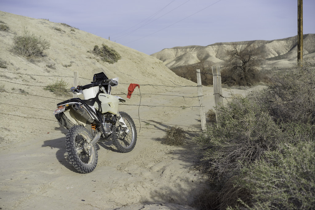
Red flag

Just over the next rise

Block walls

Hunter’s leap

Owyhee Desert Drainage

Thunderstorm Over The Owyhees

C705 to 900

All to ourselves

Snake River Birds of Prey

Hangers-on

Here or there
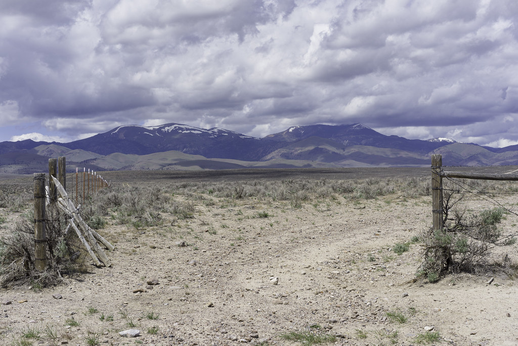
C231 gate

Rent negotiable

Castle walls

Rib-eye

Higher?
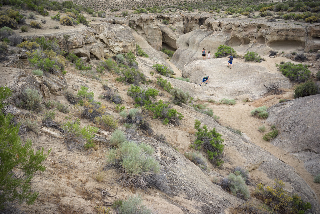
Lizard pursuit

Oregon Trail road-cut

2019 Day 109 - Morley Nelson Birds of Prey Conservation Area

Joyce Ranch owyhee county

Castle gate

Browns Creek

Chocolate syrup
Topographic Map of Oreana, ID, USA
Find elevation by address:

Places near Oreana, ID, USA:
16975 Short Cut Rd
Silver City Road
Murphy
Warren Spur Rd, Melba, ID, USA
Initial Point Road
Melba
4th St, Melba, ID, USA
Base Line Road
ID-45, Melba, ID, USA
11060 Park Rd
Melmont Rd, Melba, ID, USA
Johnston Ln, Melba, ID, USA
S Eagle Rd, Kuna, ID, USA
5710 S Can-ada Rd
5708 S Can-ada Rd
W Thompson Rd, Kuna, ID, USA
Barker Rd, Kuna, ID, USA
5705 S Can-ada Rd
5700 Happy Valley Rd
4th Ave, Nampa, ID, USA
Recent Searches:
- Elevation of 72-31 Metropolitan Ave, Middle Village, NY, USA
- Elevation of 76 Metropolitan Ave, Brooklyn, NY, USA
- Elevation of Alisal Rd, Solvang, CA, USA
- Elevation of Vista Blvd, Sparks, NV, USA
- Elevation of 15th Ave SE, St. Petersburg, FL, USA
- Elevation of Beall Road, Beall Rd, Florida, USA
- Elevation of Leguwa, Nepal
- Elevation of County Rd, Enterprise, AL, USA
- Elevation of Kolchuginsky District, Vladimir Oblast, Russia
- Elevation of Shustino, Vladimir Oblast, Russia