Elevation of Shirdi, Maharashtra, India
Location: India > Maharashtra > Ahmednagar >
Longitude: 74.4762124
Latitude: 19.7645364
Elevation: 516m / 1693feet
Barometric Pressure: 95KPa
Elevation Map:
Satellite Map:
Related Photos:

My Travel Essentials - Indian Traveler

Stay by #Me and keep #quiet. I will do the #rest. #omsairam????

Hey cutie ???????? #oft2d #oft2dgang #doglover #puppy #aurangabad #elloracaves #2k14 #canon #canon60d #18_55mm Ellora caves, Aurangabad, 2014

School girls walking by the Ellora cave corridor ???? Ellora Caves 2014 #oft2d #oft2dgang #elloracaves #2k14 #aurangabad #photography #maharashtra #trip

This cute guy came to me and asked me to click a photo of his ???? Happy he, happy me ???? Ellora caves 2014 #oft2d #OFT2DGang #aurangabad #2k14 #elloracaves #cuteboy #love #trip #maharashtra

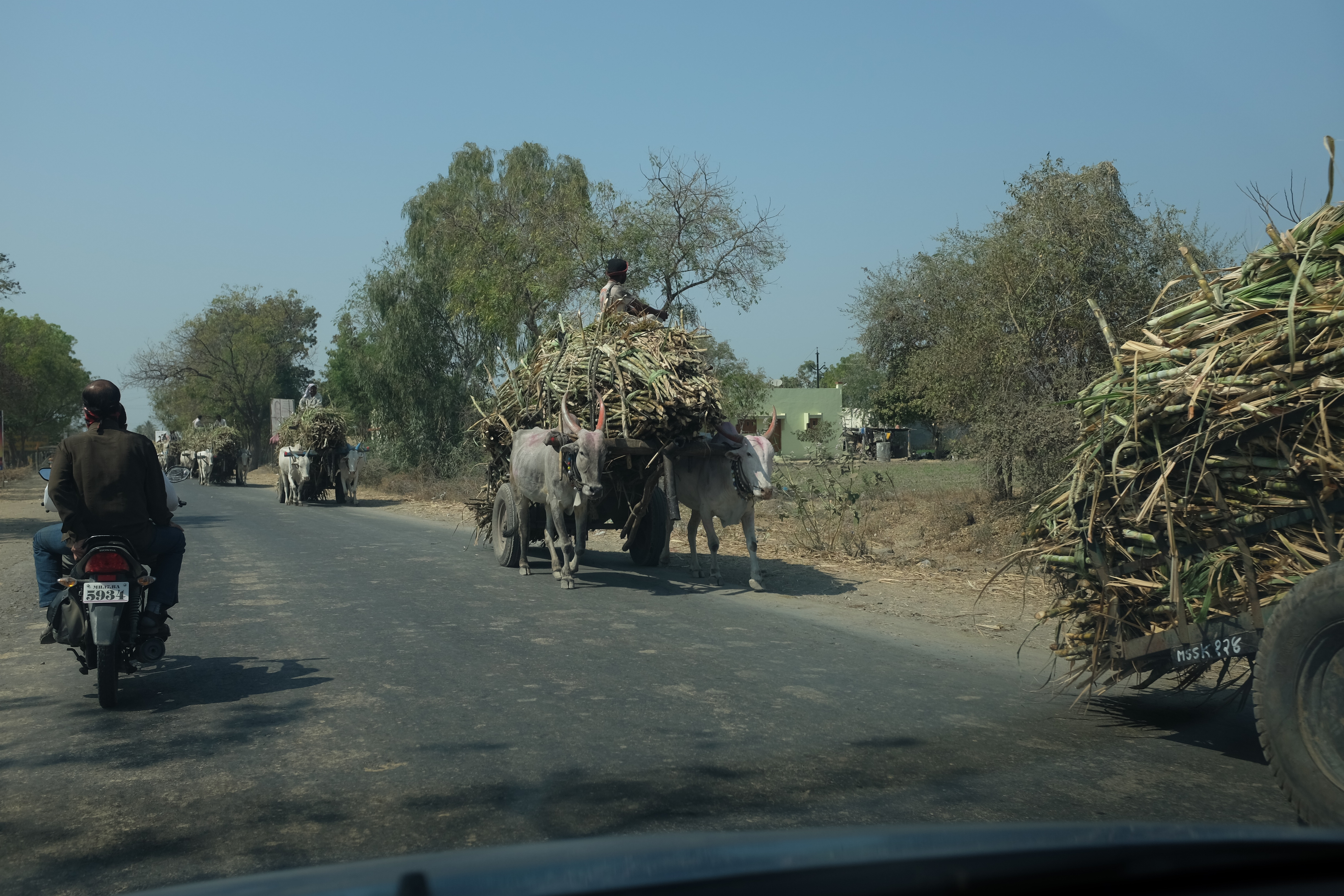
Street Scenes

Street scenes

Street scenes

Marigold Regency - Shirdi Hotel Booking

Hotels in shirdi - Matrix Inn
Around and about
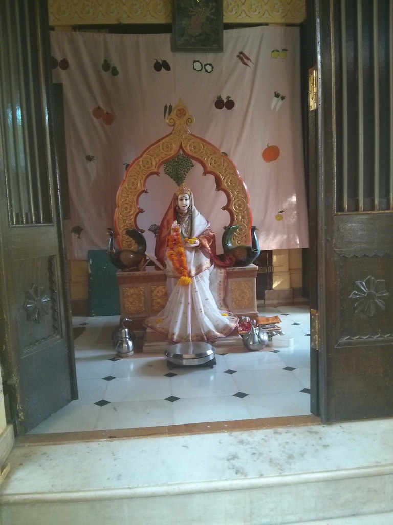
Kanya Kumari Mandir, Sakori

Sri Upasani Maharaj Mandir, Sakori
Topographic Map of Shirdi, Maharashtra, India
Find elevation by address:

Places near Shirdi, Maharashtra, India:
Rahata
Kopargaon
Angangaon
Yeola Range Forest Office
Yeola
Nandur Shingote
Ankai Fort
Tankai Fort
Karanjgaon
Niphad
Sinnar
Manmad
Bardiya Nagar
Nashik
Chandwad
Ojhar
Nehru Nager
Nehru Nagar
Nanavali
Nashik
Recent Searches:
- Elevation of 7 Waterfall Way, Tomball, TX, USA
- Elevation of SW 57th Ave, Portland, OR, USA
- Elevation of Crocker Dr, Vacaville, CA, USA
- Elevation of Pu Ngaol Community Meeting Hall, HWHM+3X7, Krong Saen Monourom, Cambodia
- Elevation of Royal Ontario Museum, Queens Park, Toronto, ON M5S 2C6, Canada
- Elevation of Groblershoop, South Africa
- Elevation of Power Generation Enterprises | Industrial Diesel Generators, Oak Ave, Canyon Country, CA, USA
- Elevation of Chesaw Rd, Oroville, WA, USA
- Elevation of N, Mt Pleasant, UT, USA
- Elevation of 6 Rue Jules Ferry, Beausoleil, France