Elevation of Sherimala Road, Sherimala Rd, Manerajuri, Maharashtra, India
Location: India > Maharashtra > Sangli > Manerajuri >
Longitude: 74.7042417
Latitude: 17.0187143
Elevation: 639m / 2096feet
Barometric Pressure: 94KPa
Elevation Map:
Satellite Map:
Related Photos:

Crescent Moon

Scaly-breasted munia

Purple Sunbird (शक्कर खोरा, सूर्यपक्षी, शिंजीर)

Siamese Twin Gerbera daisy..

Driving to sangli, my home
Under Construction
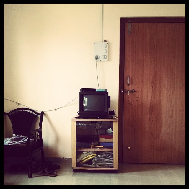
OL_D TV ; )

Under Construction

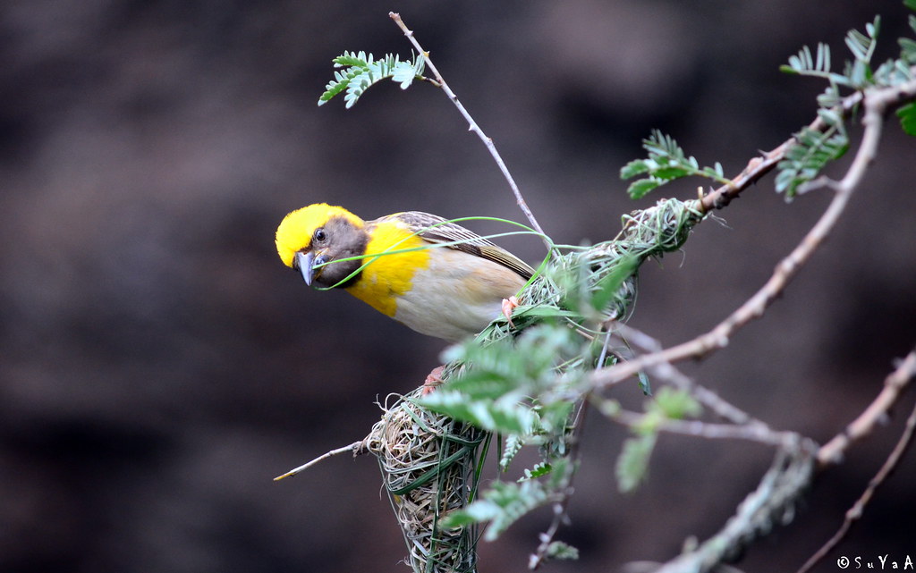
Baya weaver (सुगरण)
Topographic Map of Sherimala Road, Sherimala Rd, Manerajuri, Maharashtra, India
Find elevation by address:

Places near Sherimala Road, Sherimala Rd, Manerajuri, Maharashtra, India:
Manerajuri
Yogewadi
Upalavi
Soni
Nagaon Kavathe
Bhosale Mala Road
Sambarwadi
Neharunagar
Vasumbe Phata
Shirdhon
Kharshing
Morgaon
Tanang
Shirgaon Kavathe
Kawaji Khotwadi
Shindewadi H
Midc Kupwad
Kavathe Mahankal
Hingangaon
Kuktoli
Recent Searches:
- Elevation of AMELIA CT HSE, VA, USA
- Elevation of Abbey Dr, Virginia Beach, VA, USA
- Elevation of Brooks Lp, Spearfish, SD, USA
- Elevation of Panther Dr, Maggie Valley, NC, USA
- Elevation of Jais St - Wadi Shehah - Ras al Khaimah - United Arab Emirates
- Elevation of Shawnee Avenue, Shawnee Ave, Easton, PA, USA
- Elevation of Scenic Shore Dr, Kingwood Area, TX, USA
- Elevation of W Prive Cir, Delray Beach, FL, USA
- Elevation of S Layton Cir W, Layton, UT, USA
- Elevation of F36W+3M, Mussoorie, Uttarakhand, India