Elevation of Neharunagar, Vrindavan Colony, Tasgaon, Maharashtra, India
Location: India > Maharashtra > Sangli >
Longitude: 74.6085665
Latitude: 17.0302997
Elevation: 582m / 1909feet
Barometric Pressure: 95KPa
Elevation Map:
Satellite Map:
Related Photos:

Driving to sangli, my home
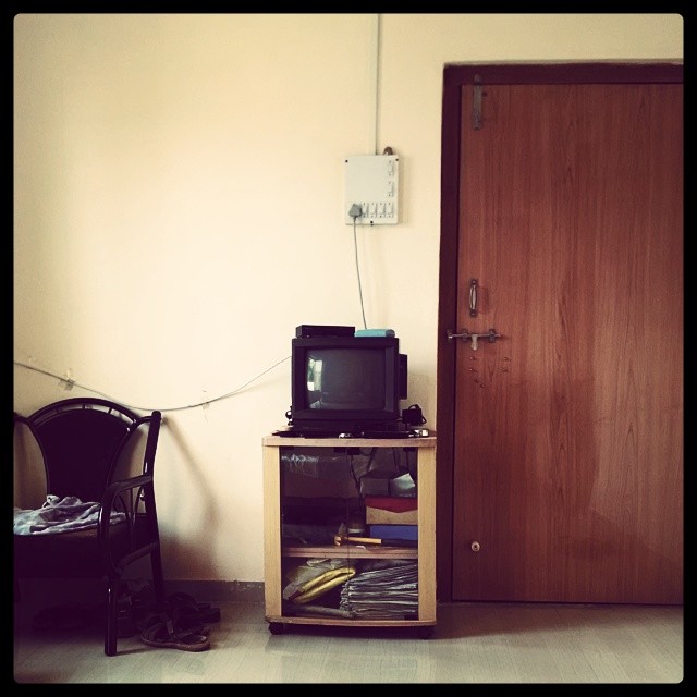
OL_D TV ; )

Int#rusting
Seen better days

The #door that was #lock ed

Setting #sun

The #traction #unit

The #traction #unit

#setting #sun #sunset in the #farms
Topographic Map of Neharunagar, Vrindavan Colony, Tasgaon, Maharashtra, India
Find elevation by address:

Places near Neharunagar, Vrindavan Colony, Tasgaon, Maharashtra, India:
Vasumbe Phata
Nagaon Kavathe
Shirgaon Kavathe
Hajarwadi
Upalavi
Kawaji Khotwadi
Manerajuri
Bhosale Mala Road
Sherimala Road
Nandre
Sambarwadi
Soni
Yogewadi
Shaniwar Peth
Pawar Mala
Raviwar Peth
Padmale
Aayodhya Nagar
Midc Kupwad
Tanang
Recent Searches:
- Elevation of AMELIA CT HSE, VA, USA
- Elevation of Abbey Dr, Virginia Beach, VA, USA
- Elevation of Brooks Lp, Spearfish, SD, USA
- Elevation of Panther Dr, Maggie Valley, NC, USA
- Elevation of Jais St - Wadi Shehah - Ras al Khaimah - United Arab Emirates
- Elevation of Shawnee Avenue, Shawnee Ave, Easton, PA, USA
- Elevation of Scenic Shore Dr, Kingwood Area, TX, USA
- Elevation of W Prive Cir, Delray Beach, FL, USA
- Elevation of S Layton Cir W, Layton, UT, USA
- Elevation of F36W+3M, Mussoorie, Uttarakhand, India