Elevation of Shellie Ln, La Pine, OR, USA

Location: United States > Oregon > La Pine >

Longitude: -121.53897

Latitude: 43.7304233

Elevation: 1299m / 4262feet

Barometric Pressure: 87KPa

Elevation Map:

elevation map of Shellie Ln, La Pine, OR, USA

Satellite Map:

Satellite map of Shellie Ln, La Pine, OR, USA

Related Photos:

longexposure morning vacation motion water oregon waterfall nikon bend gorge nikkor sunriver campground silky deschutesnationalforest 2015 paulinacreek newberrynationalvolcanicmonument d7000 350mmf18 mckaycrossing mccaycrossingfalls
McKay Crossing Falls
flowers fall water oregon canon river stream 50d markeloper
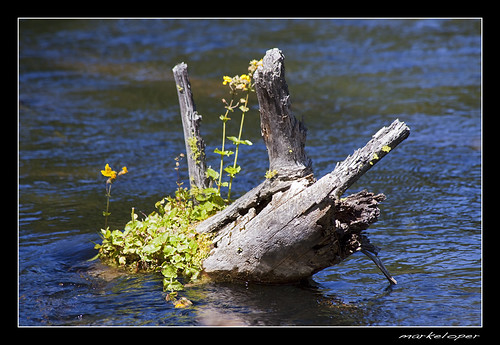
Summer flowers on the Fall River
flower fall water oregon canon river log stream pacific northwest sunriver submerge 50d markeloper
Growing where you can
bird nature female oregon fire woodpecker bend burn wildfire blackbacked picoides arcticus blackbackedwoodpecker
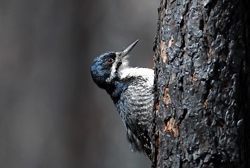
charcoal feeder
event karl landscape travel oregon usa
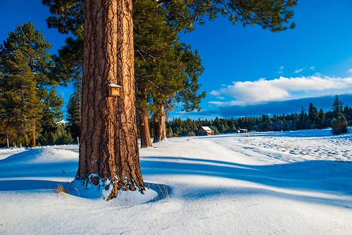
Barns and Birds
county wood winter light terrain usa white snow black cold west tree ice nature water beautiful pine oregon digital america forest river season lens landscape evening countryside photo still scenery pretty day pattern view unitedstates natural state pacific northwest image bend outdoor cut path timber united country north under nation gray central smooth january scenic picture peaceful olympus scene fresh deschutes photograph journey blanket western land activity cascade isolated element freshness deschutesnationalforest
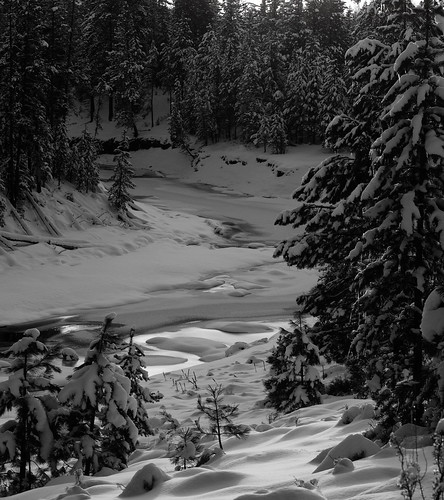
Iced over Deschutes
oregon enhanced smalltown motels lapine plasticsigns us97
West View Motel
raw front page iphotorating0
The View from Steve's Couch
NW Dock View
View from cabin deck
Big River Campground River View
square squareformat iphoneography instagramapp uploaded:by=instagram
Last night's view...
View from the Fall River Trail
mckaycrossingfalls oregon spring water river stream cliff rocks trees waterfall pool america landscape
McKay Crossing Falls, Oregon
centraloregon statepark la pine forest trees river deschutes grassybanks water calm cliffs america landscape
La Pine State Park, Oregon
usa oregon landscape flooding bend tt encore thousandtrails nikond7000 nikkor18to200mmvrlens bendsunriverthousandtrails
Flooding from melted snow
vacation oregon lapine
North End of the Oregon Outback Scenic Byway, La Pine, OR
Bridge over Fall River
PAULINA CREEK Collage
usa reflection oregon landscape encore thousandtrails nikond7000 nikkor18to200mmvrlens bendsunriverthousandtrails
Scene near Family Lodge
usa snow reflection oregon bend encore nikond7000 nikkor18to200mmvrlens thousandtails bendsunrivertt
Winter Reflections
blue usa reflection oregon landscape bend encore thousandtrails nikond7000 nikkor18to200mmvrlens bendsunriverthousandtrails
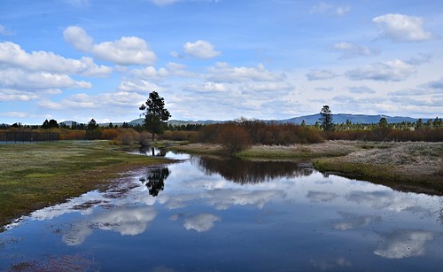
Reflections in Little Deschutes River
cold nature oregon centraloregon creek forest outdoors spring whitewater stream hiking pacificnorthwest exploration discovery archivephoto canonpowershota70 snowmelt deschutesnationalforest paulinacreek newberrynationalvolcanicmonument zoniedude1 earthnaturelife mckaycrossing cascadevolcaniczone
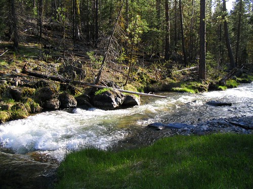
Paulina Creek
oregon travel deschutes morning mist trees river
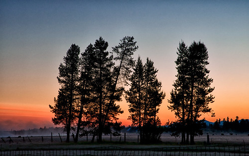
Morning Mist
trees orange nature oregon sunrise landscape day northwest scenic clear
LaPine Sunrise
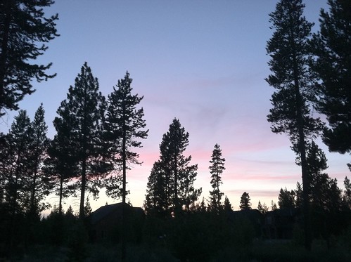
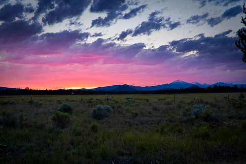
Dusk in Central Oregon . . .
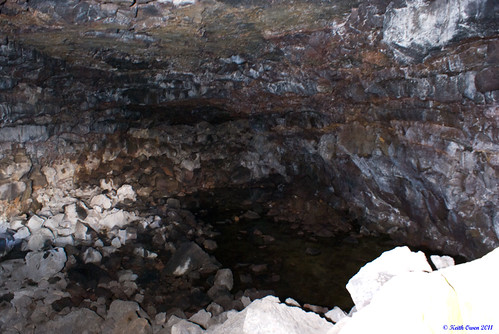
rock oregon lava cave lapine southicecave
South Ice Cave
Waterfall along Paulina Creek
sunset field grass pine clouds la hdr
20090705-_MG_1742-3-HDR
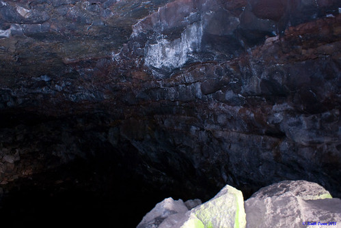
rock oregon lava lapine southicecave
South Ice Cave