Elevation of Coach Rd, La Pine, OR, USA
Location: United States > Oregon > La Pine >
Longitude: -121.50802
Latitude: 43.6777583
Elevation: 1290m / 4232feet
Barometric Pressure: 87KPa
Elevation Map:
Satellite Map:
Related Photos:

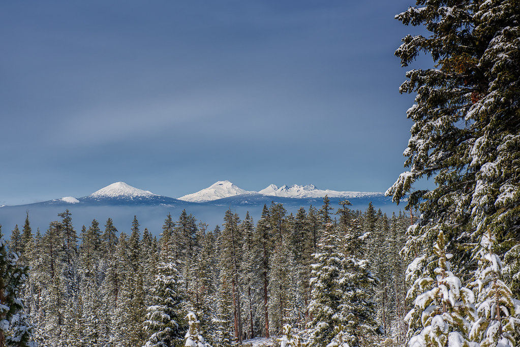
McKay Crossing Falls

charcoal feeder

Barns and Birds

Iced over Deschutes

Summer flowers on the Fall River

Growing where you can

West View Motel

The View from Steve's Couch

Big River Campground River View

Last night's view...

View from the Fall River Trail

D70-0925-003 - Valley to West Shrouded in Smoke

D70-0926-007 - View to Southwest

D70-0926-008 - View to West

McKay Crossing Falls, Oregon

PAULINA CREEK Collage
High Cascades

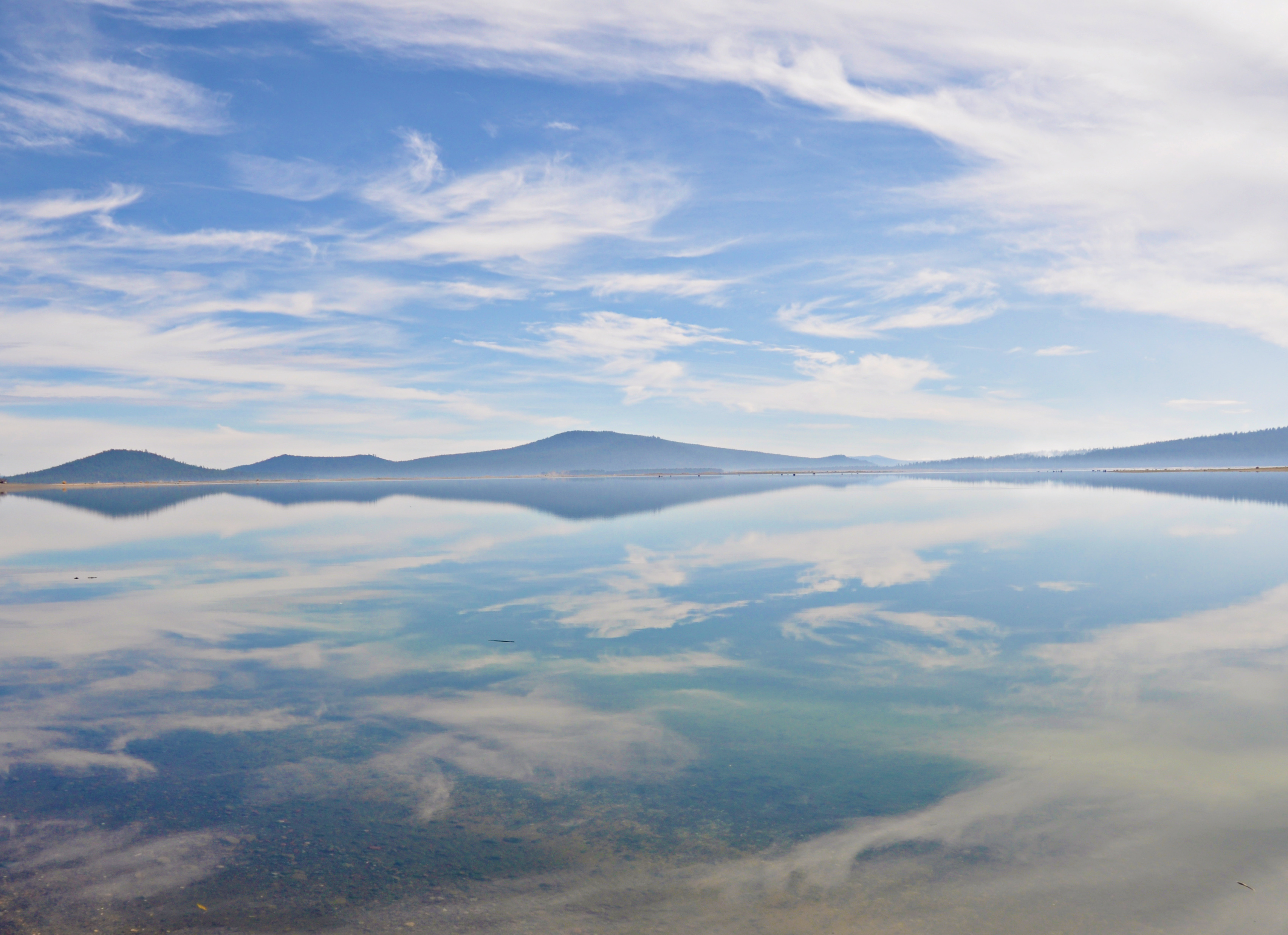
Paulina Creek

Morning Mist

LaPine Sunrise

Dusk in Central Oregon . . .

South Ice Cave

Waterfall along Paulina Creek

20090705-_MG_1742-3-HDR

North End of the Oregon Outback Scenic Byway, La Pine, OR

South Ice Cave

La Pine State Park, OR--

Good morning, Deschutes

A Plus One
Wikup Resvr

Bull Bend

South Ice Cave
Topographic Map of Coach Rd, La Pine, OR, USA
Find elevation by address:

Places near Coach Rd, La Pine, OR, USA:
La Pine
51869 Fordham Dr
16605 Assembly Way
Parkway Drive
16822 Cagle Rd
15749 Shellie Ln
53105 Alps Ct
16394 Carrington Ave
Twilla Court
55170 Lazy River Dr
55635 Gatehouse Ln
52096 Nf-600
55942 Wood Duck Dr
51800 Nf-600
17181 Jacinto Rd
16966 Covina Rd
60 Tennis Village
Sunriver
32424 Beaver Dr
32424 Beaver Dr
Recent Searches:
- Elevation of Congressional Dr, Stevensville, MD, USA
- Elevation of Bellview Rd, McLean, VA, USA
- Elevation of Stage Island Rd, Chatham, MA, USA
- Elevation of Shibuya Scramble Crossing, 21 Udagawacho, Shibuya City, Tokyo -, Japan
- Elevation of Jadagoniai, Kaunas District Municipality, Lithuania
- Elevation of Pagonija rock, Kranto 7-oji g. 8"N, Kaunas, Lithuania
- Elevation of Co Rd 87, Jamestown, CO, USA
- Elevation of Tenjo, Cundinamarca, Colombia
- Elevation of Côte-des-Neiges, Montreal, QC H4A 3J6, Canada
- Elevation of Bobcat Dr, Helena, MT, USA