Elevation of Shaver Ridge Rd, Unicoi, TN, USA
Location: United States > Tennessee > Unicoi County > Unicoi >
Longitude: -82.276257
Latitude: 36.180428
Elevation: 767m / 2516feet
Barometric Pressure: 92KPa
Elevation Map:
Satellite Map:
Related Photos:
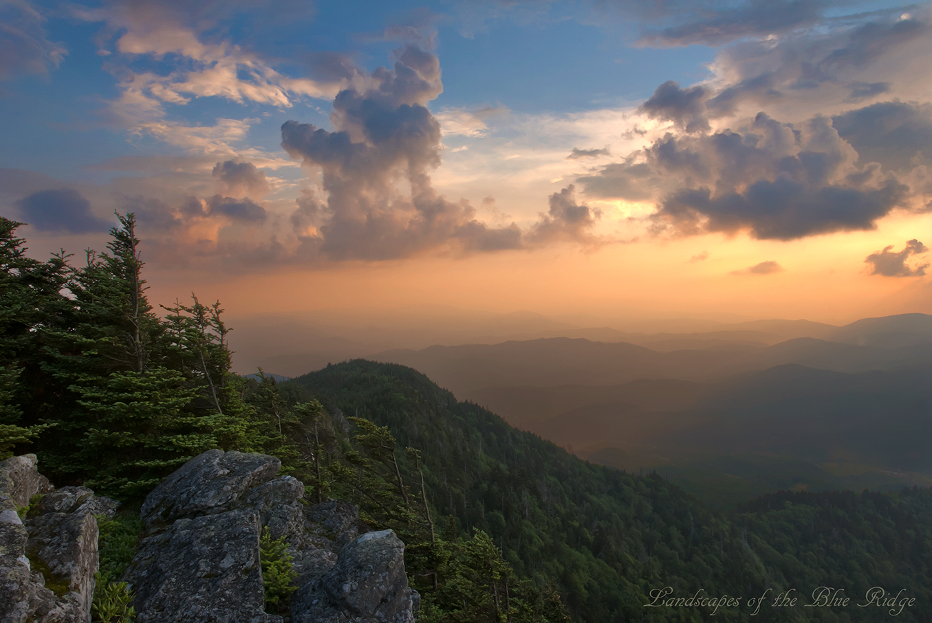
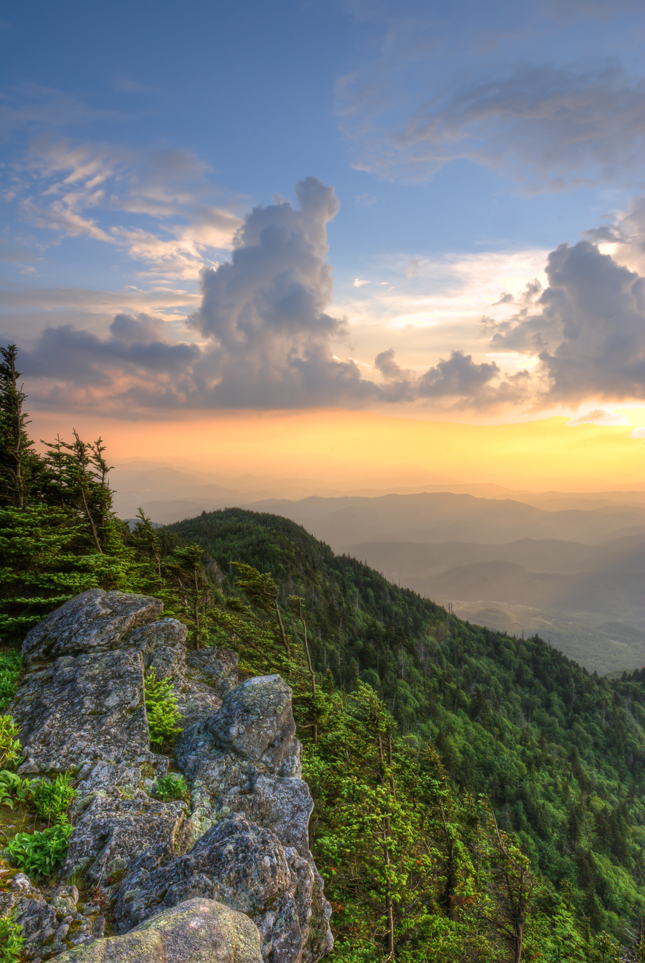
Sunset from Roan High Bluff

The World From the Top of Round Bald
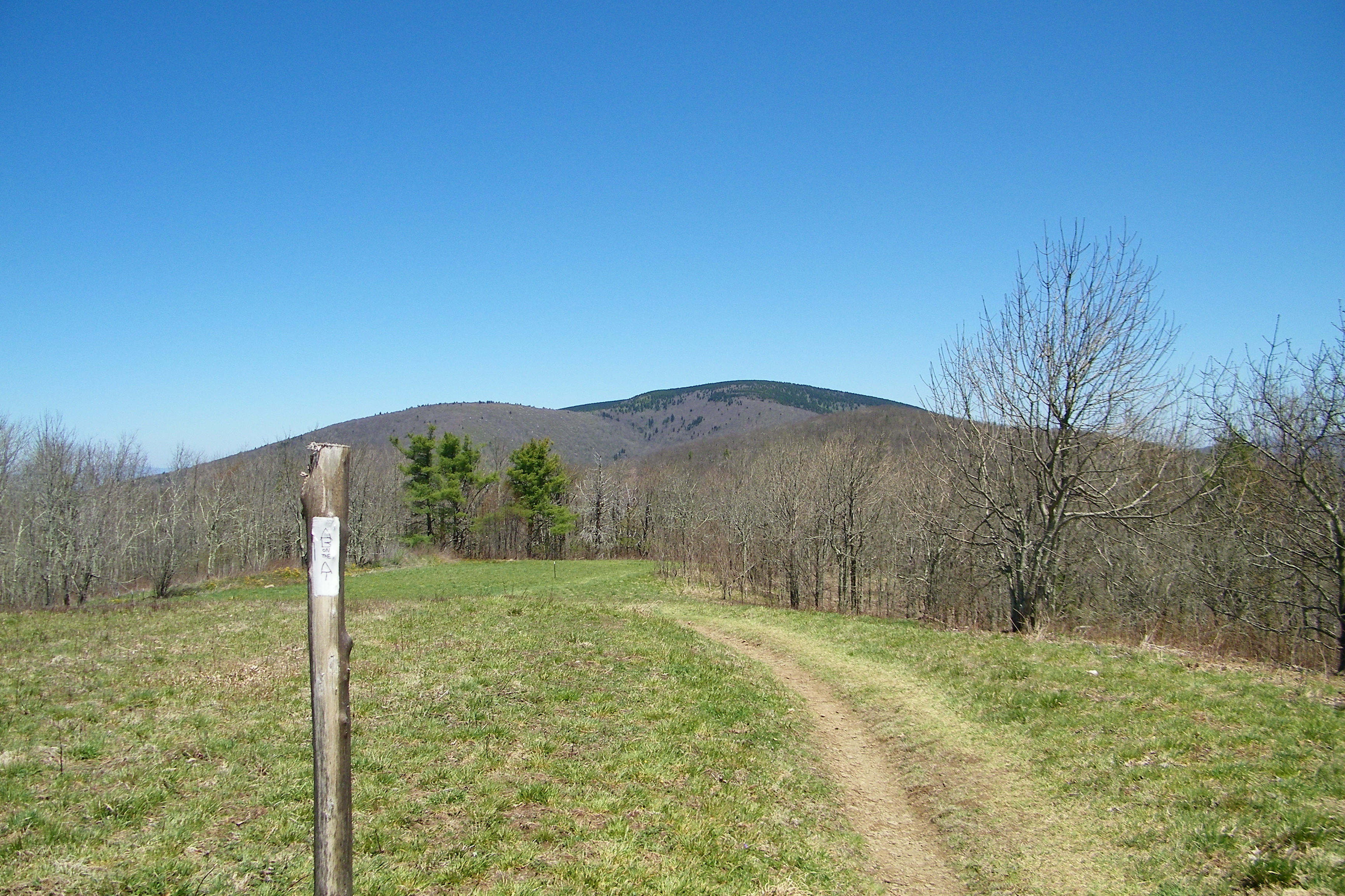
Beauty Spot
Beauty Spot
Unaka Mountain Overlook
Unaka Mountain Overlook
Roan High Bluff

Watching the Game

My view - what are you looking at right now?
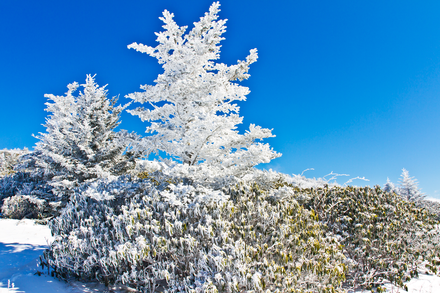
Frosted Flakes

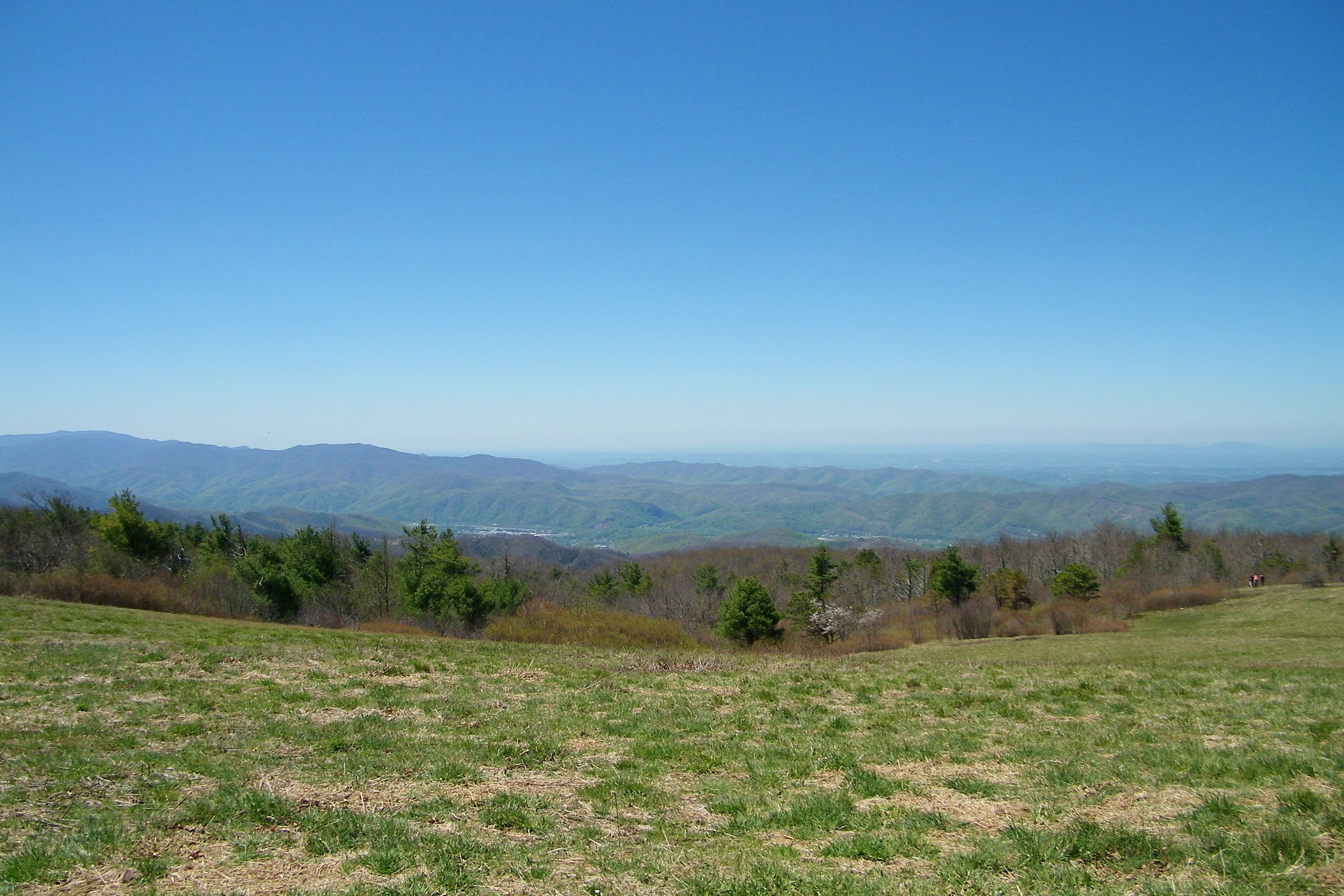
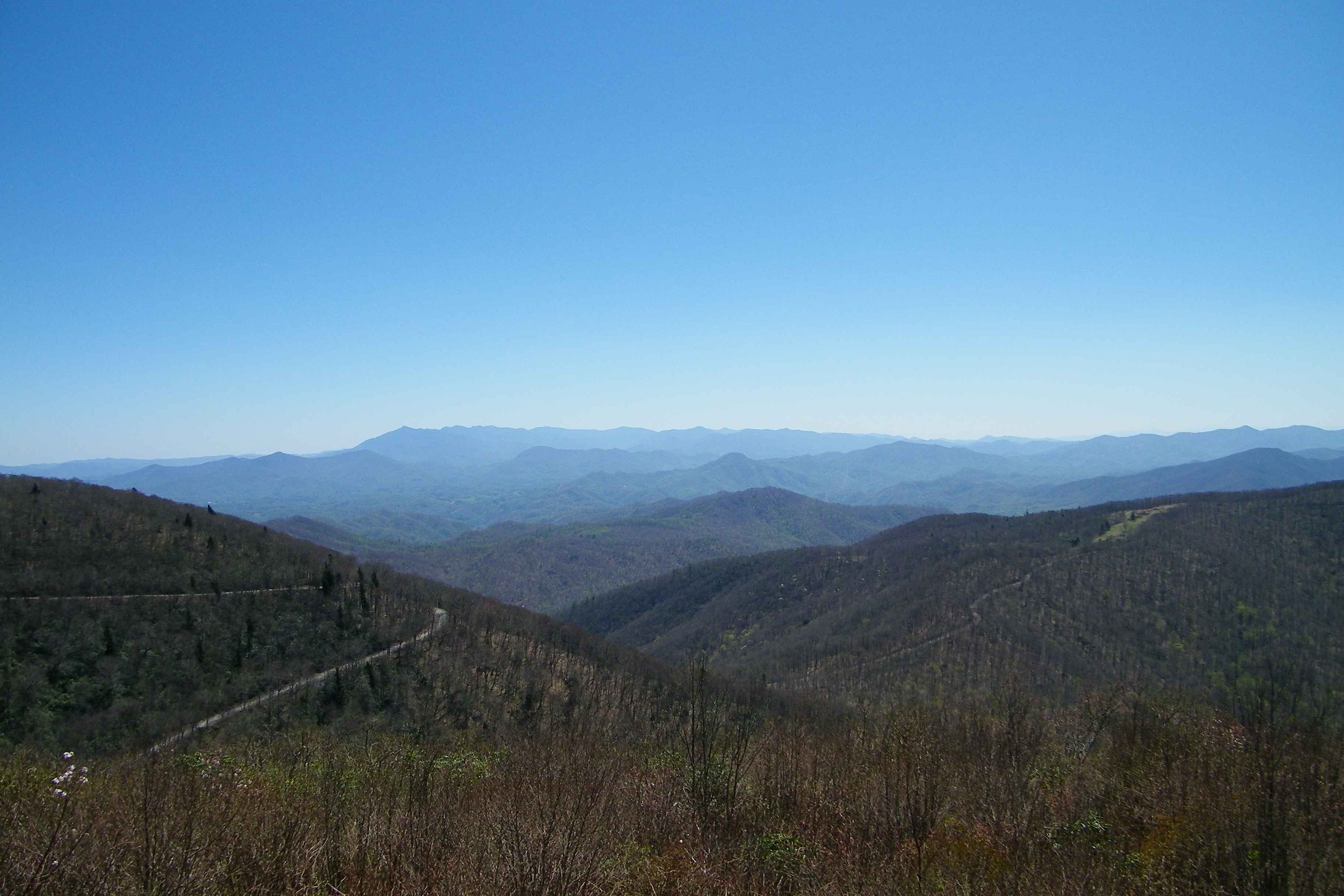
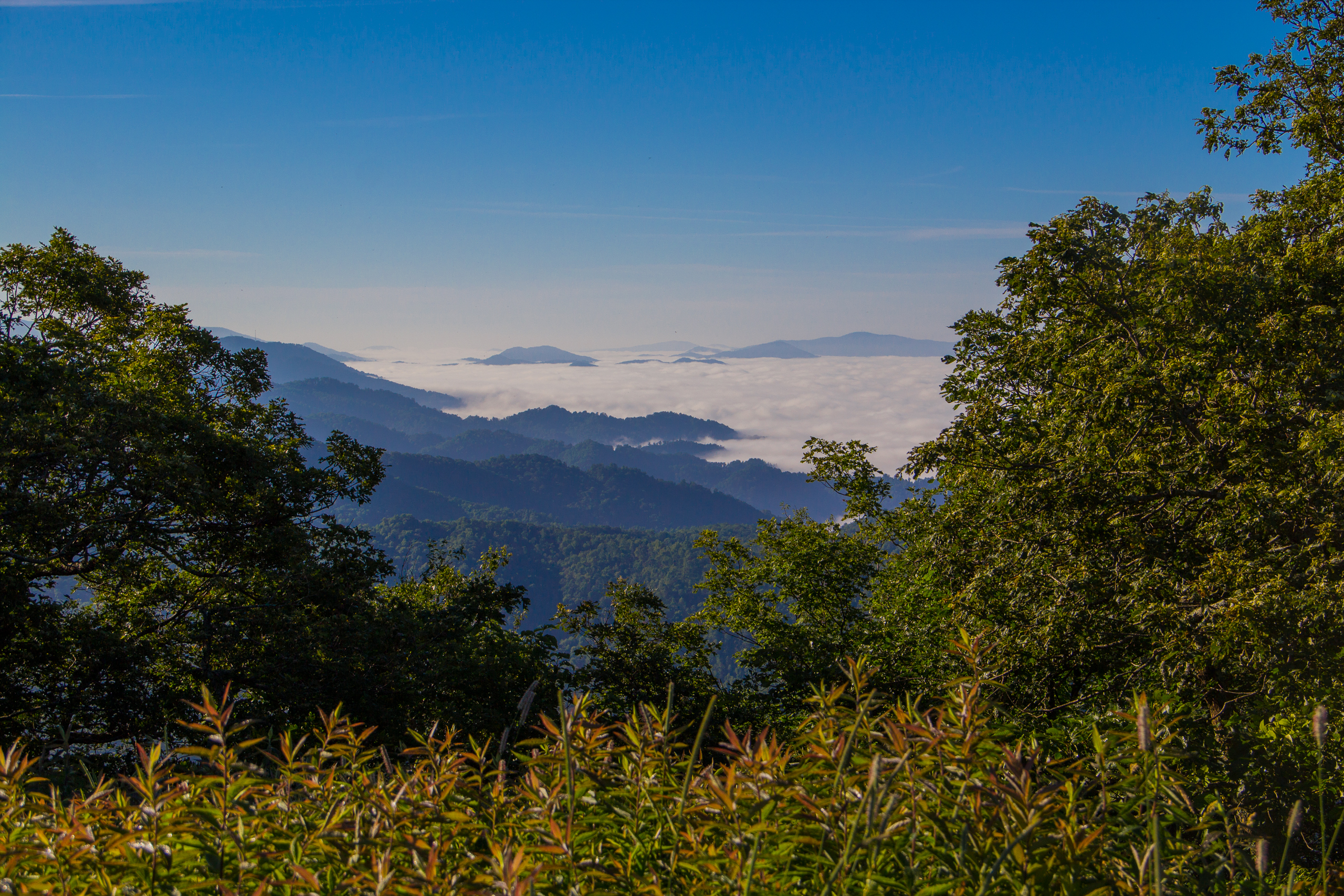
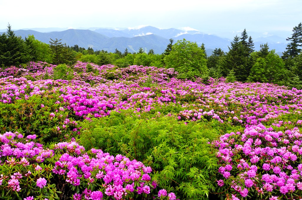
View from Beauty Spot

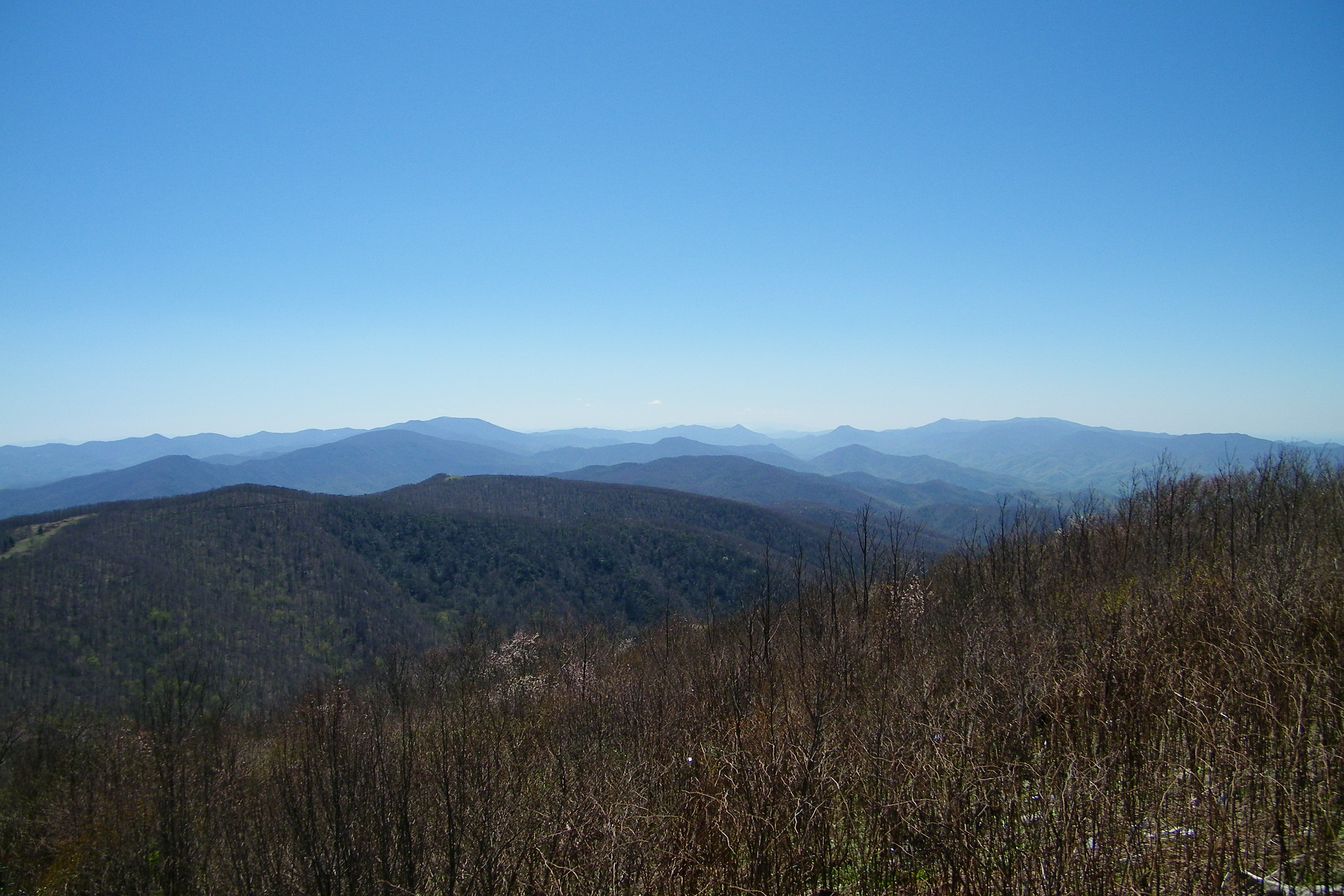
Tennessee valley

Pinnacle Mountain Fire Tower HDR Panorama

203 walking down path to parking lot

Buffalo Pano

View from Beauty Spot
Parents view.

195 Trail to top of hill at rest stop in Tennessee
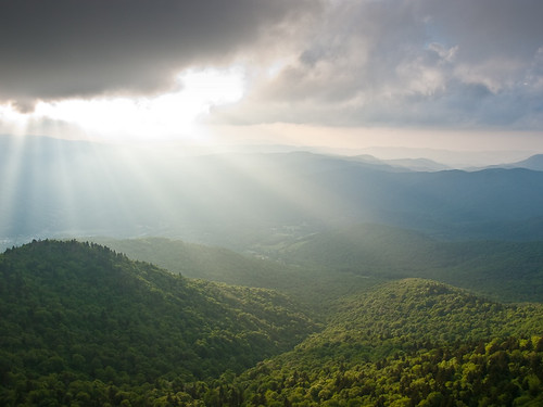
Fog Below Roan Mountain, Pisgah National Forest, North Carolina

View from Beauty Spot

201 Claire on the trail

Unicoi Mountain
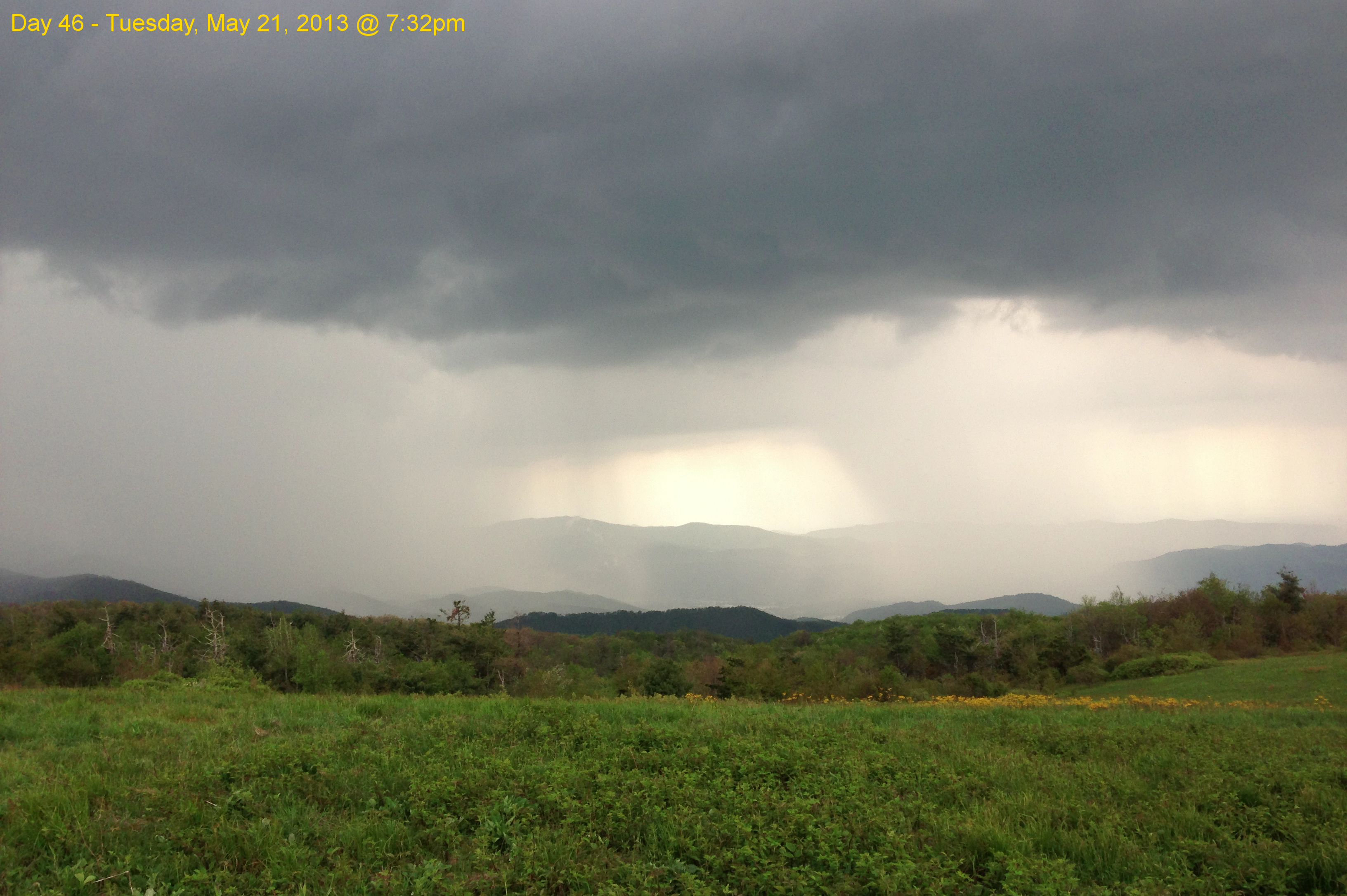
Garry AT Hike 2013-05-21 @ 19-32-39

Pete-WH6LE Heading to W4T/SU-025 - Little Bald Knob

WP_20141124_040.JPG
Roan Mountain Trail NC/TN, USA
Roan Mt. Blessing

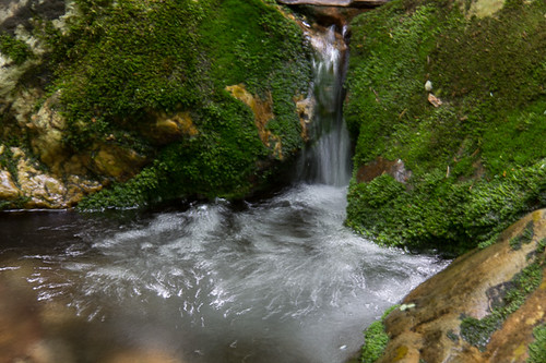
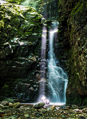
Red Fork Falls
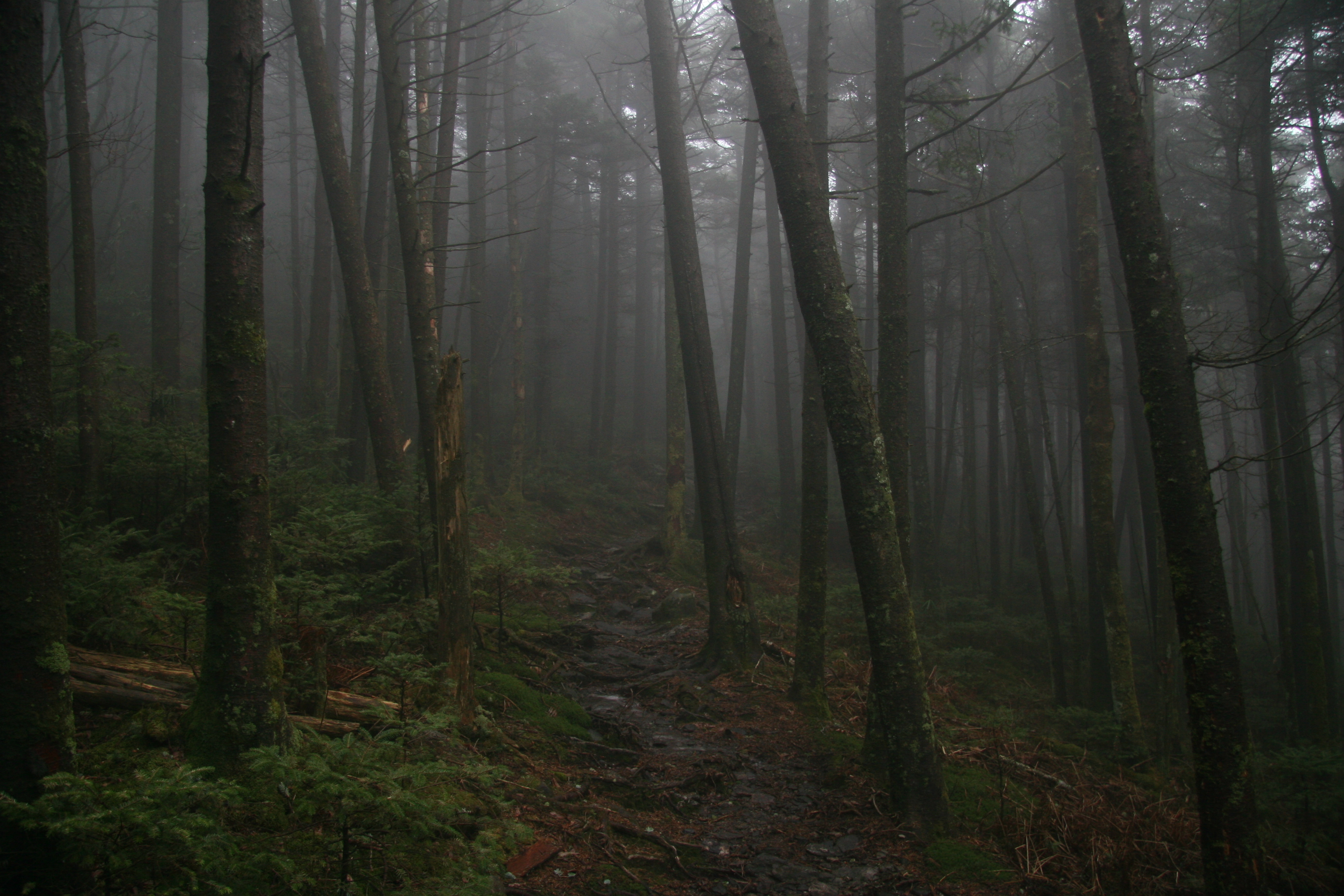
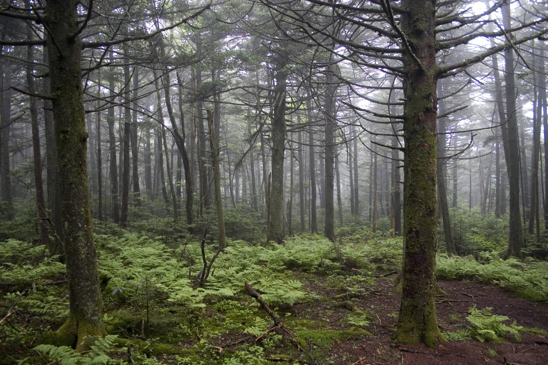
The Forbidding Woods
#Nolichucky #Unicoi #erwin #unicoicounty
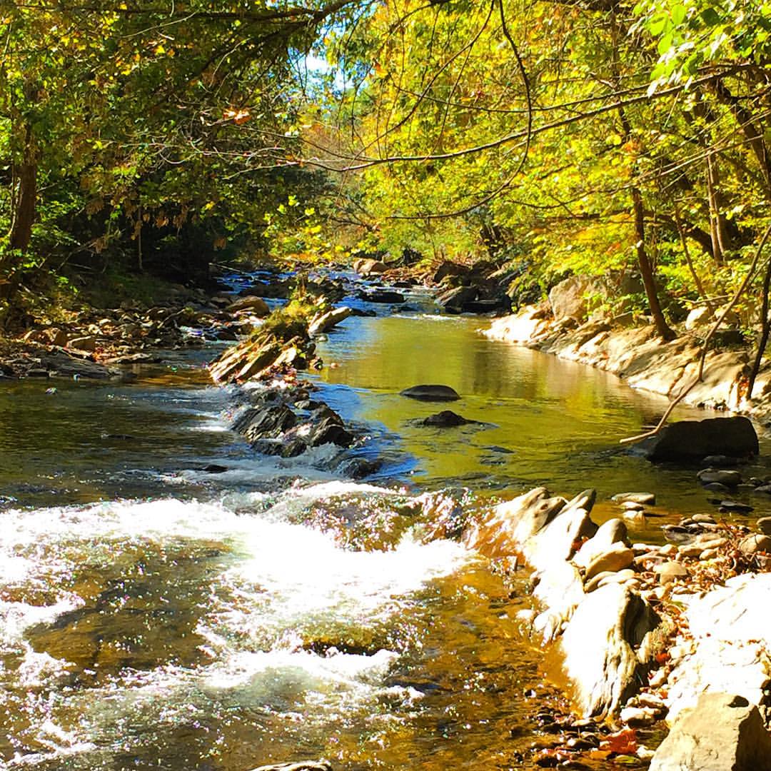
Rock Creek Hike
Roan Mountain Lookout | Roan Mountain, NC/TN border, USA
Rock Creek Hike

Rock Creek Hike
Topographic Map of Shaver Ridge Rd, Unicoi, TN, USA
Find elevation by address:

Places near Shaver Ridge Rd, Unicoi, TN, USA:
TN-, Unicoi, TN, USA
Sneyd Road
715 Lower Stone Mountain Rd
238 Sneyd Ln
1300 Foxhound Hills Cir
568 Harmon Rd
Sciota Woods Court
Sciota Woods Court
Scioto Woods Court
319 Sciota Rd
309 Sciota Rd
Beauty Spot Gap
Unicoi
309 White Cove Rd
Conway Mccurry Road
2951 Zane Whitson Drive
229 Parsley St
1010 Dove Meadow Ln
Greenbriar Lane
3222 Unicoi Dr
Recent Searches:
- Elevation of Leguwa, Nepal
- Elevation of County Rd, Enterprise, AL, USA
- Elevation of Kolchuginsky District, Vladimir Oblast, Russia
- Elevation of Shustino, Vladimir Oblast, Russia
- Elevation of Lampiasi St, Sarasota, FL, USA
- Elevation of Elwyn Dr, Roanoke Rapids, NC, USA
- Elevation of Congressional Dr, Stevensville, MD, USA
- Elevation of Bellview Rd, McLean, VA, USA
- Elevation of Stage Island Rd, Chatham, MA, USA
- Elevation of Shibuya Scramble Crossing, 21 Udagawacho, Shibuya City, Tokyo -, Japan