Elevation of Shahkot, Punjab, India
Location: India > Punjab > Jalandhar >
Longitude: 75.3383027
Latitude: 31.0823586
Elevation: 227m / 745feet
Barometric Pressure: 99KPa
Elevation Map:
Satellite Map:
Related Photos:

Mughal Era bridge in village Jehangir
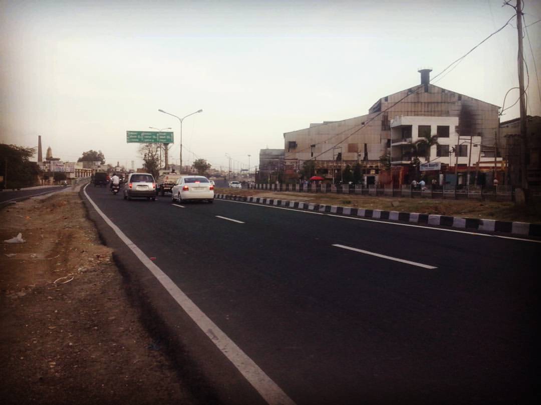
Just reaching Phagwara.#Phagwara #Sugarmil #G.T.Road #Highway
Dakhni Sarai
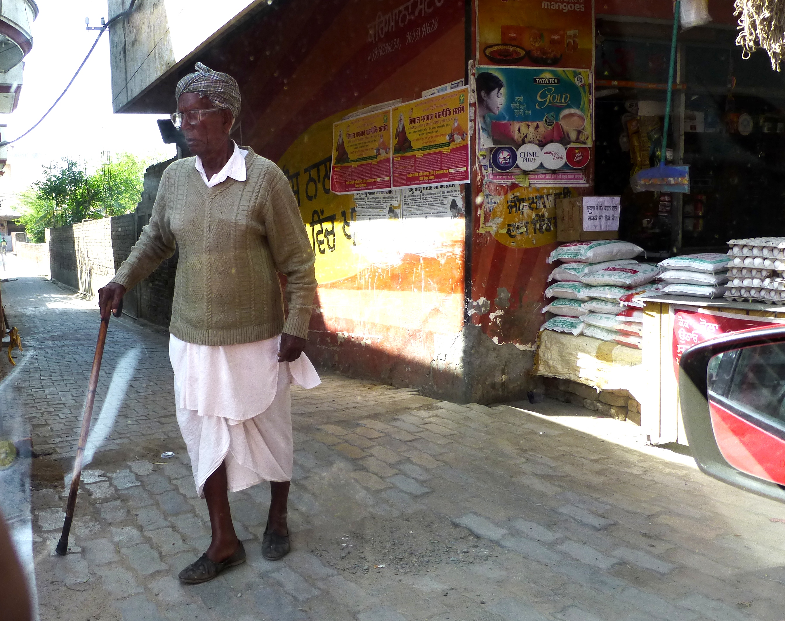
Evening of Life
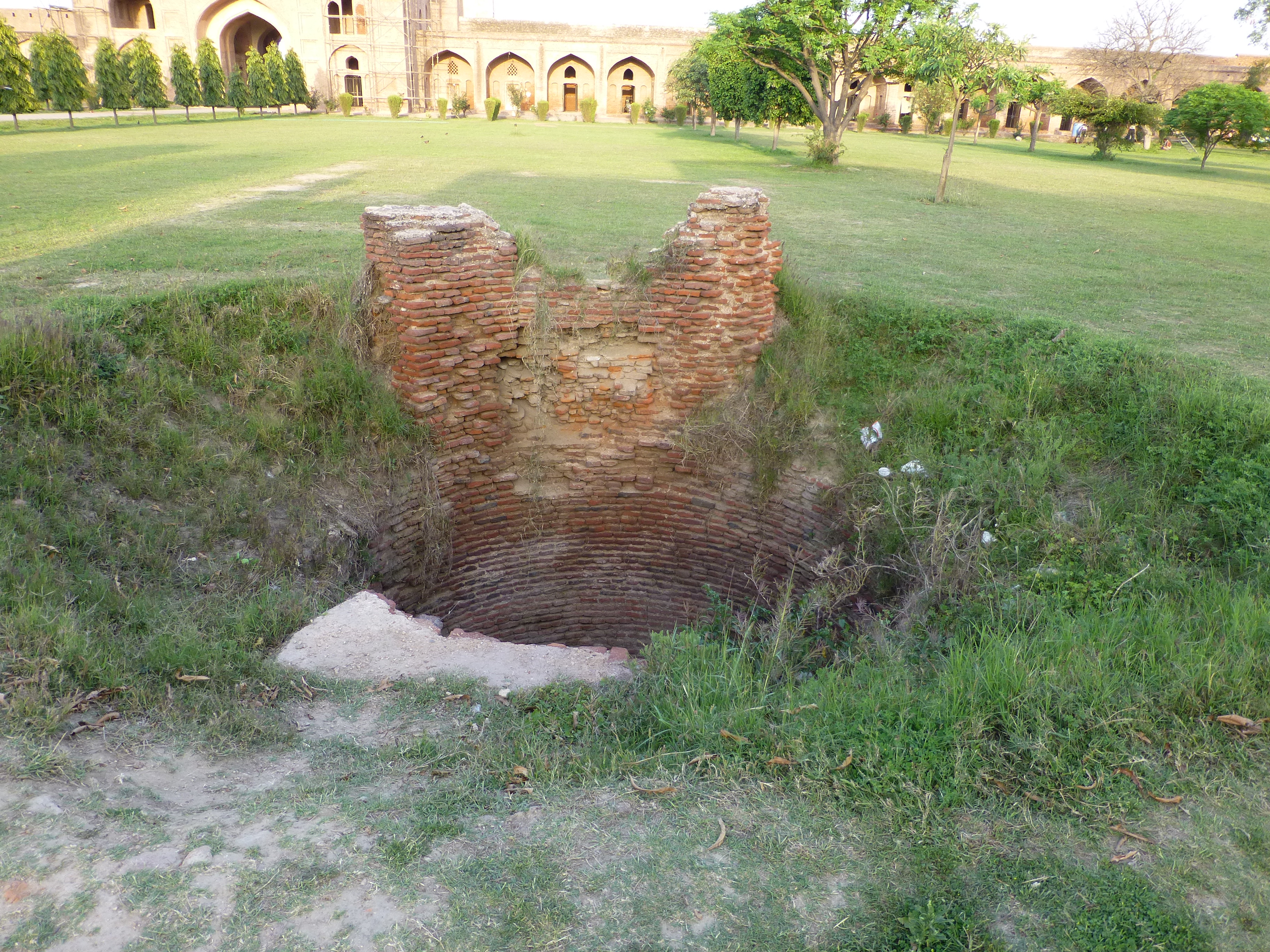
Past glory
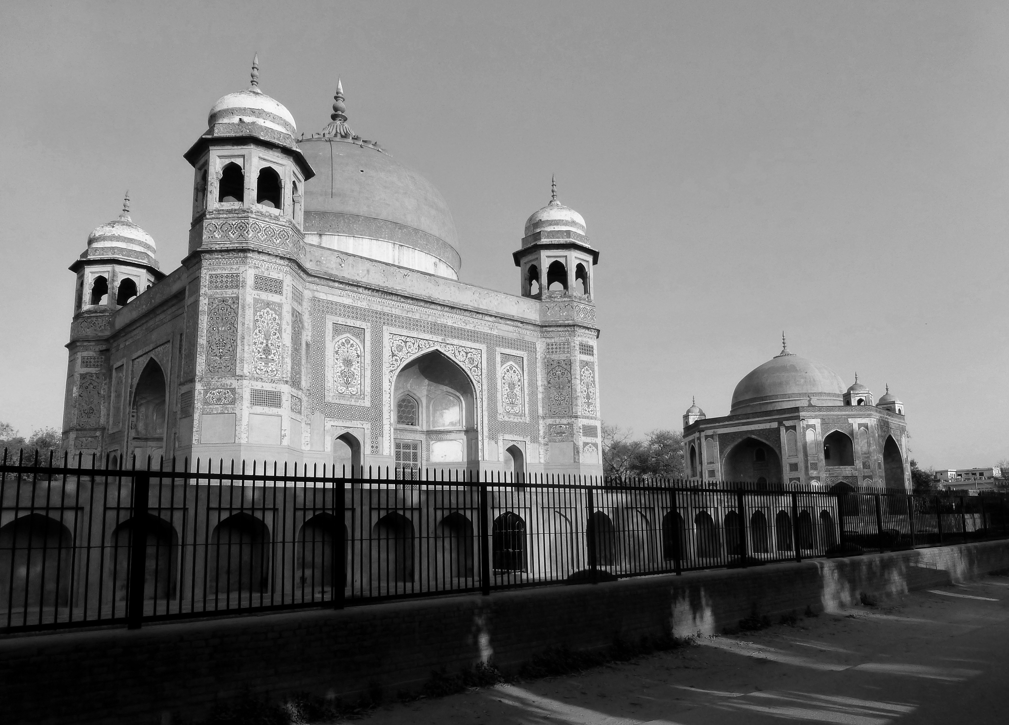
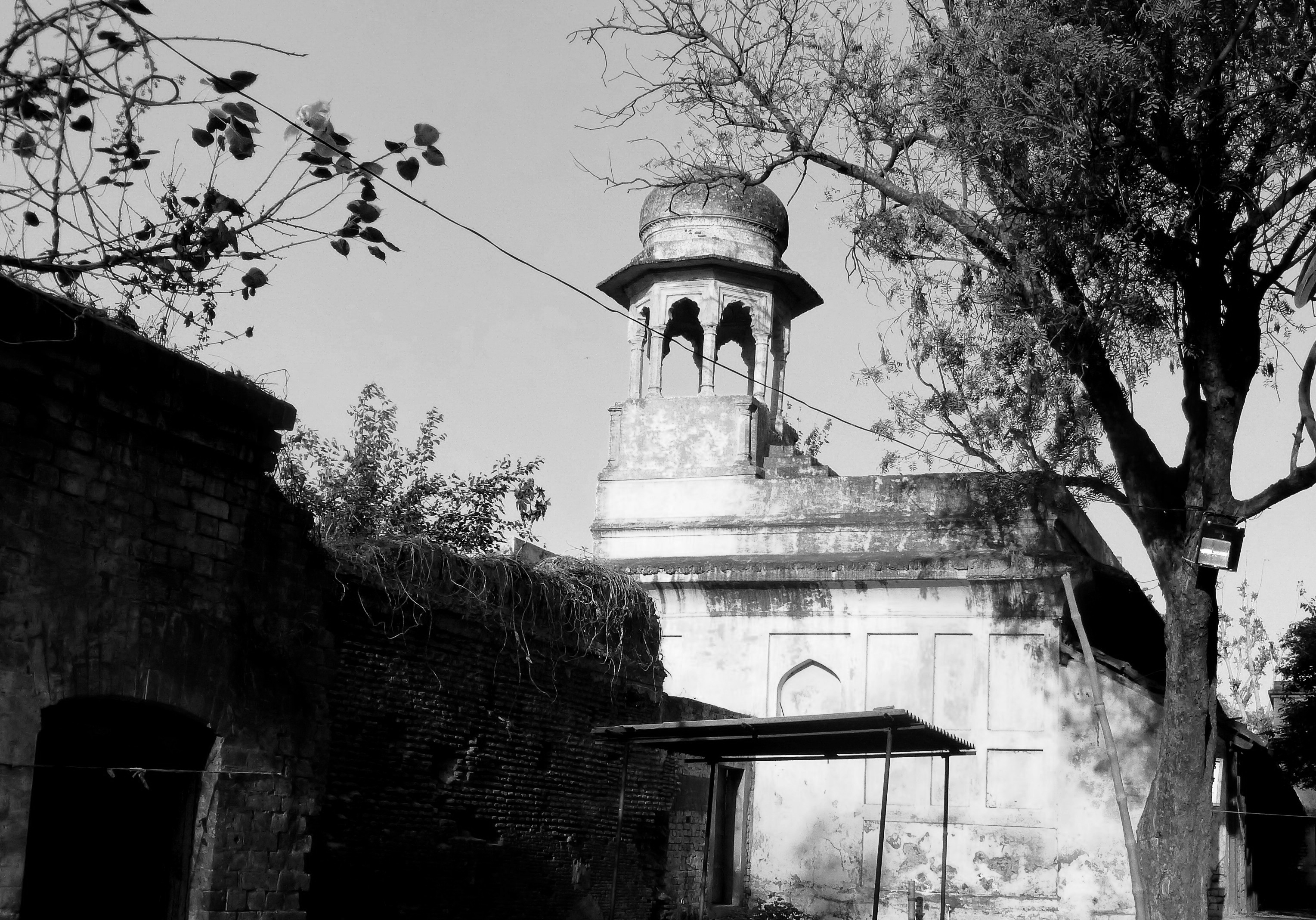
Mausoleums at Nakodar
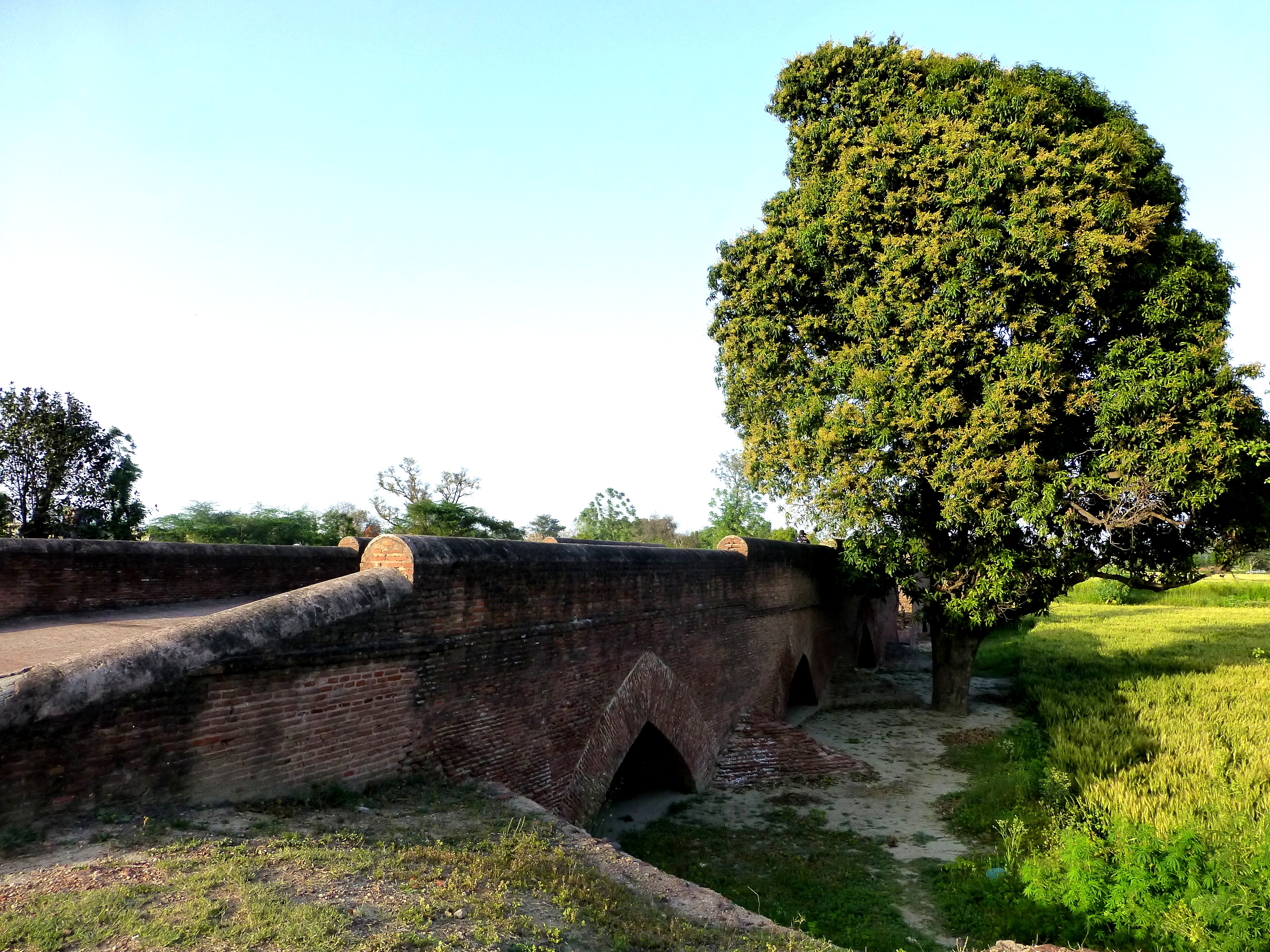
Moghul era bridge
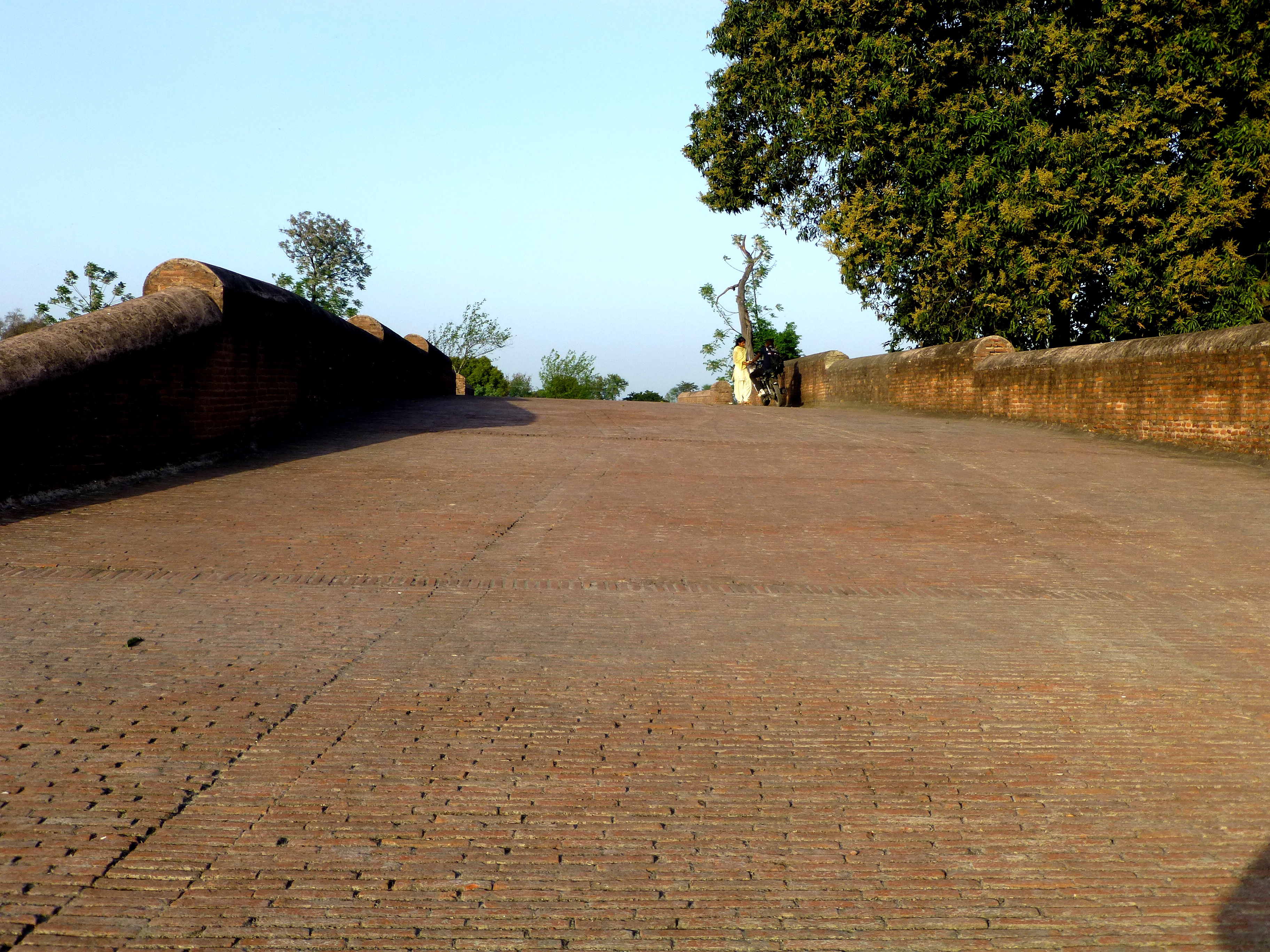
Moghul Era bridge
Topographic Map of Shahkot, Punjab, India
Find elevation by address:

Places near Shahkot, Punjab, India:
Punjab
Nakodar
Sultanpur Lodhi
Nurmahal
Jalandhar
Kapurthala
Kapurthala
New Jawahar Nagar Market
New Jawahar Nagar
Jalandhar
Rurka Kalan
Kot Kalan
Lohian
Beas
Phagwara
Phillaur
Nadala
Adampur
Bhogpur
Tanda
Recent Searches:
- Elevation of Woodland Oak Pl, Thousand Oaks, CA, USA
- Elevation of Brownsdale Rd, Renfrew, PA, USA
- Elevation of Corcoran Ln, Suffolk, VA, USA
- Elevation of Mamala II, Sariaya, Quezon, Philippines
- Elevation of Sarangdanda, Nepal
- Elevation of 7 Waterfall Way, Tomball, TX, USA
- Elevation of SW 57th Ave, Portland, OR, USA
- Elevation of Crocker Dr, Vacaville, CA, USA
- Elevation of Pu Ngaol Community Meeting Hall, HWHM+3X7, Krong Saen Monourom, Cambodia
- Elevation of Royal Ontario Museum, Queens Park, Toronto, ON M5S 2C6, Canada