Elevation of Tanda, Punjab, India
Location: India > Punjab > Hoshiarpur >
Longitude: 75.6302649
Latitude: 31.6648028
Elevation: 241m / 791feet
Barometric Pressure: 98KPa
Elevation Map:
Satellite Map:
Related Photos:

miani da mela
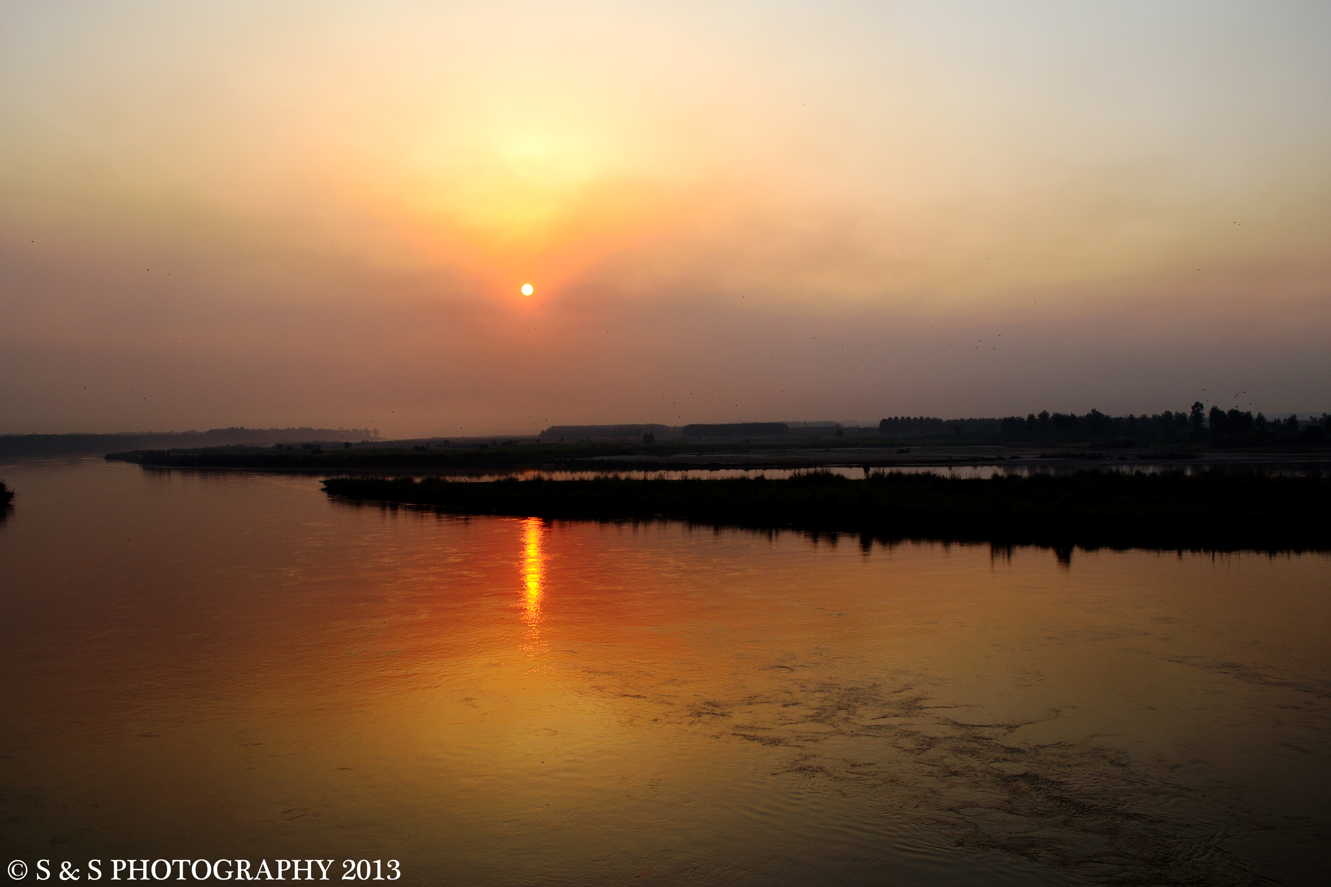
River Bias 2
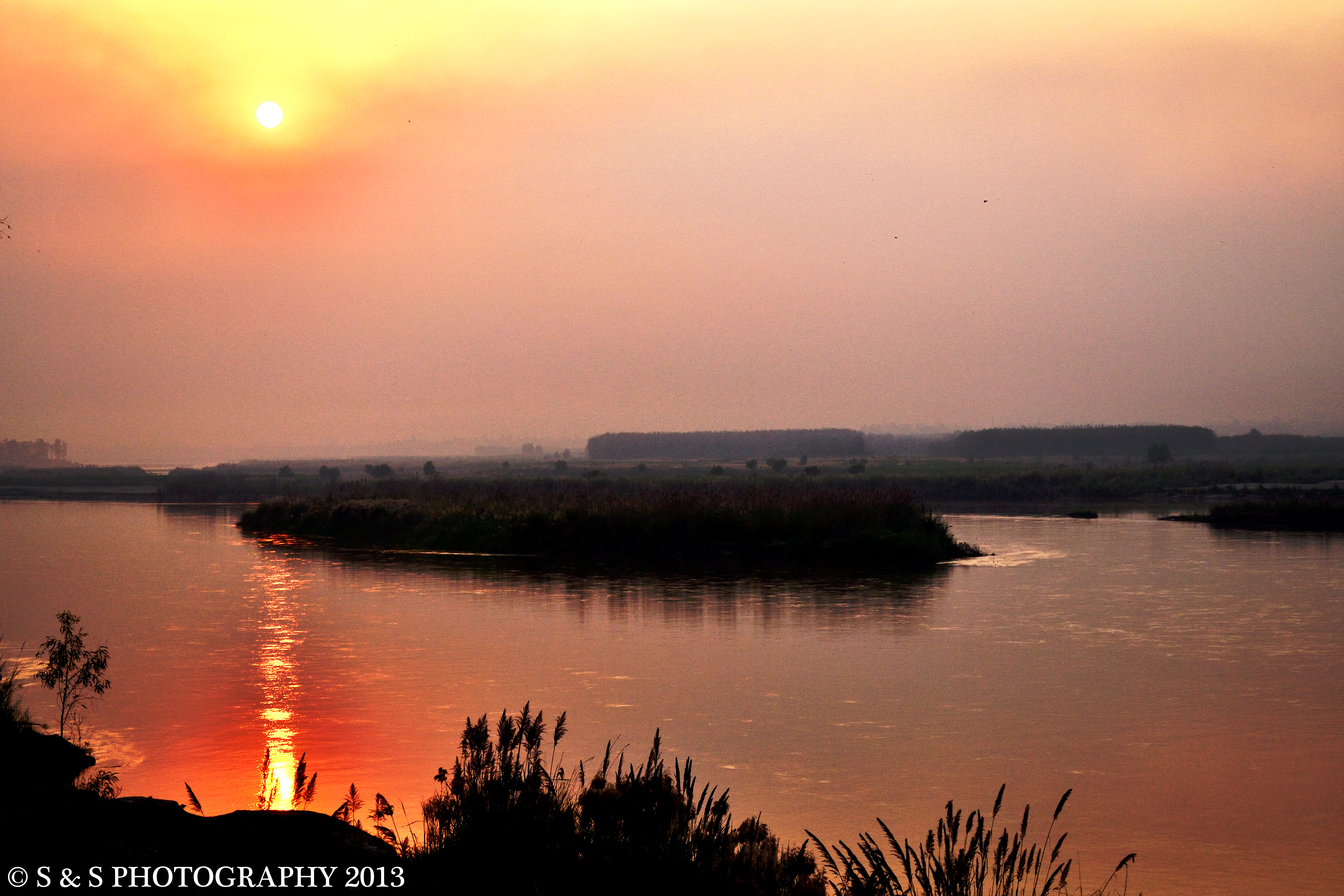
River Bias 1
Nice day

#indiancrazyphotographer #Indianphotographers #Incredibleindia #storiesofindia #storyofindia #punjab #NGMA #night #NIHANG #NikonD5100 #BLUE

#Indianphotographers #Incredibleindia #INDIACLICK #india_gram #PHOTOGRAPHY #Indian_pictures #Indian_colourful #potraits #potraitphotography #PUNJAB #BHUJANGI #contact_for_photography #HOLLA #MOHALLA #2015 #FOUJ #DASTAR #SIKH #SINGH
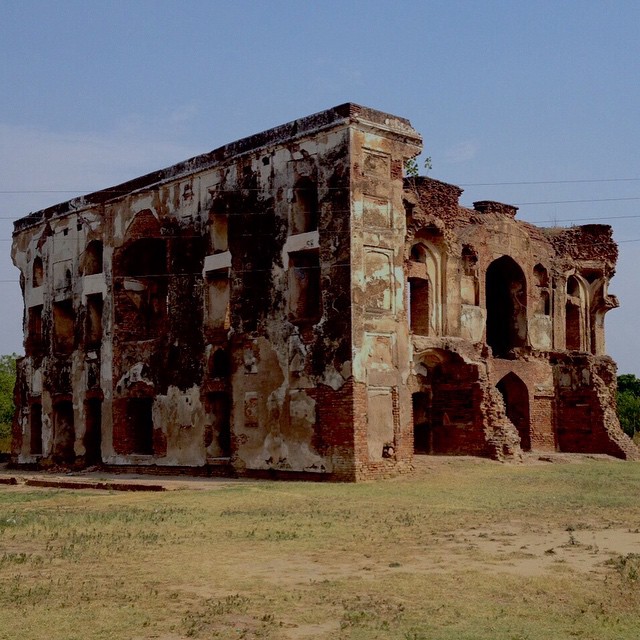
#NGMA #NIHANG #SINGH #PHOTOGRAPHY #PUNJAB #NikonD5100 #Nihang_Singh_Photography #IPHONE #india_gram #INDIACLICK #Indian_pictures #Indian_colourful #AAM_KHASS_BAAG #ANTIQEBUILDING #SIKH #SAHIB #SINGH #HISTORICAL #CLICK #collorful #contact_for_photography #

#piccollage

Gurdeep uncle #jaggery

Gurdeep uncle, Gian uncle and Mama g #jaggery
Partly Cloudy
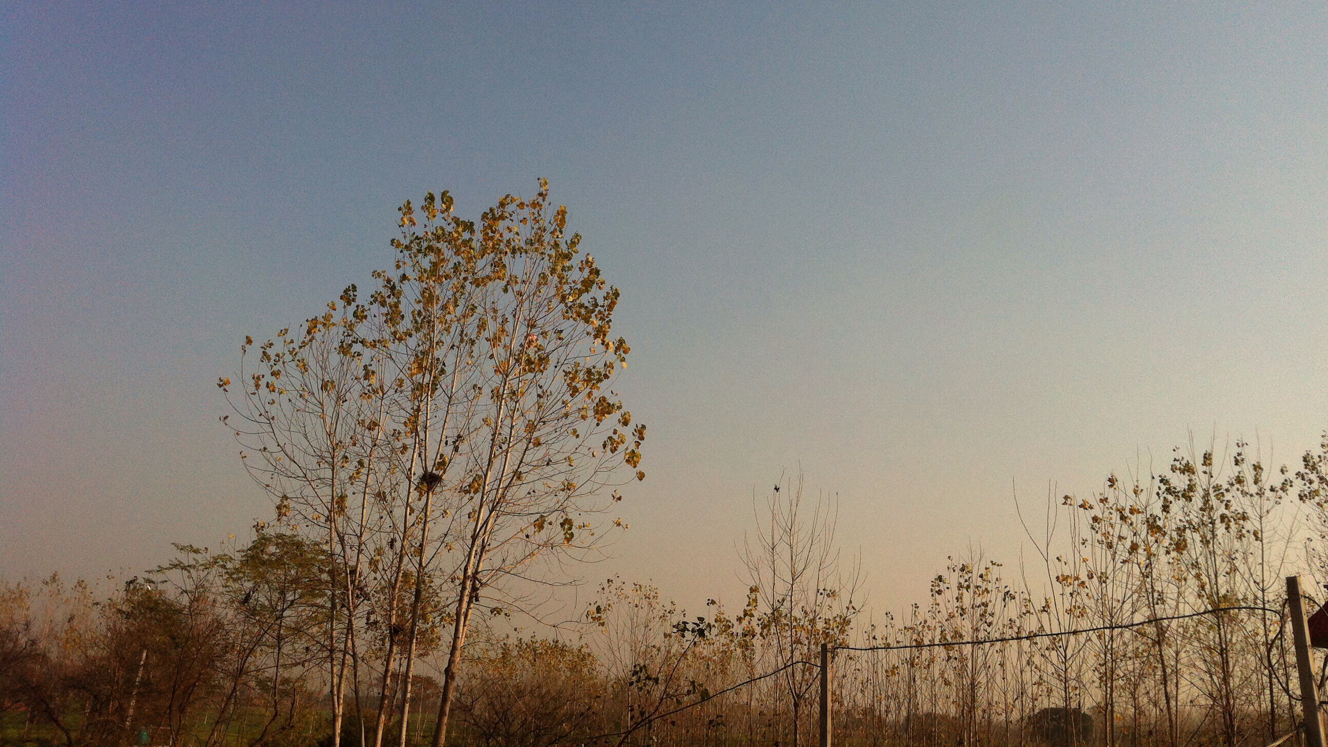
Sun set

2013-10-27-1736.jpg

2013-10-27-1735.jpg

2013-10-27-1735.jpg

Papilio demoleus
Sanaura_Gurduwara Saheedan
Cattle Class
Topographic Map of Tanda, Punjab, India
Find elevation by address:

Places near Tanda, Punjab, India:
Bhogpur
Hoshiarpur
Bhunga
Hazipur
Nadala
Adampur
Lohian
Kamalpur
15, NH 70, Kamalpur, Hoshiarpur, Punjab, India
Hoshiarpur
Punjab, India
Mehmowal
Jalandhar
New Jawahar Nagar Market
New Jawahar Nagar
Talwara
Beas
Kapurthala
Kot Kalan
Gurdaspur
Recent Searches:
- Elevation of Woodland Oak Pl, Thousand Oaks, CA, USA
- Elevation of Brownsdale Rd, Renfrew, PA, USA
- Elevation of Corcoran Ln, Suffolk, VA, USA
- Elevation of Mamala II, Sariaya, Quezon, Philippines
- Elevation of Sarangdanda, Nepal
- Elevation of 7 Waterfall Way, Tomball, TX, USA
- Elevation of SW 57th Ave, Portland, OR, USA
- Elevation of Crocker Dr, Vacaville, CA, USA
- Elevation of Pu Ngaol Community Meeting Hall, HWHM+3X7, Krong Saen Monourom, Cambodia
- Elevation of Royal Ontario Museum, Queens Park, Toronto, ON M5S 2C6, Canada