Elevation of Seven Sisters Peaks, Kitimat-Stikine C (Part 1), BC V0J, Canada
Location: Canada > British Columbia > Kitimat-stikine > Cedarvale >
Longitude: -128.23194
Latitude: 54.9675
Elevation: 2676m / 8780feet
Barometric Pressure: 73KPa
Elevation Map:
Satellite Map:
Related Photos:
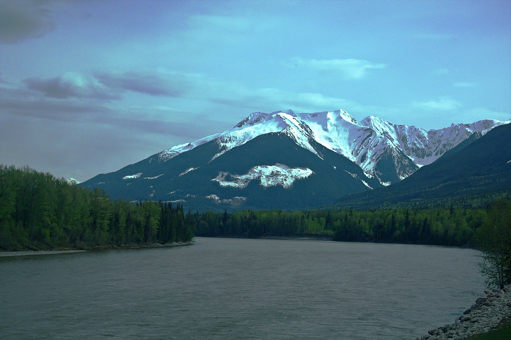
Following the Skeena River
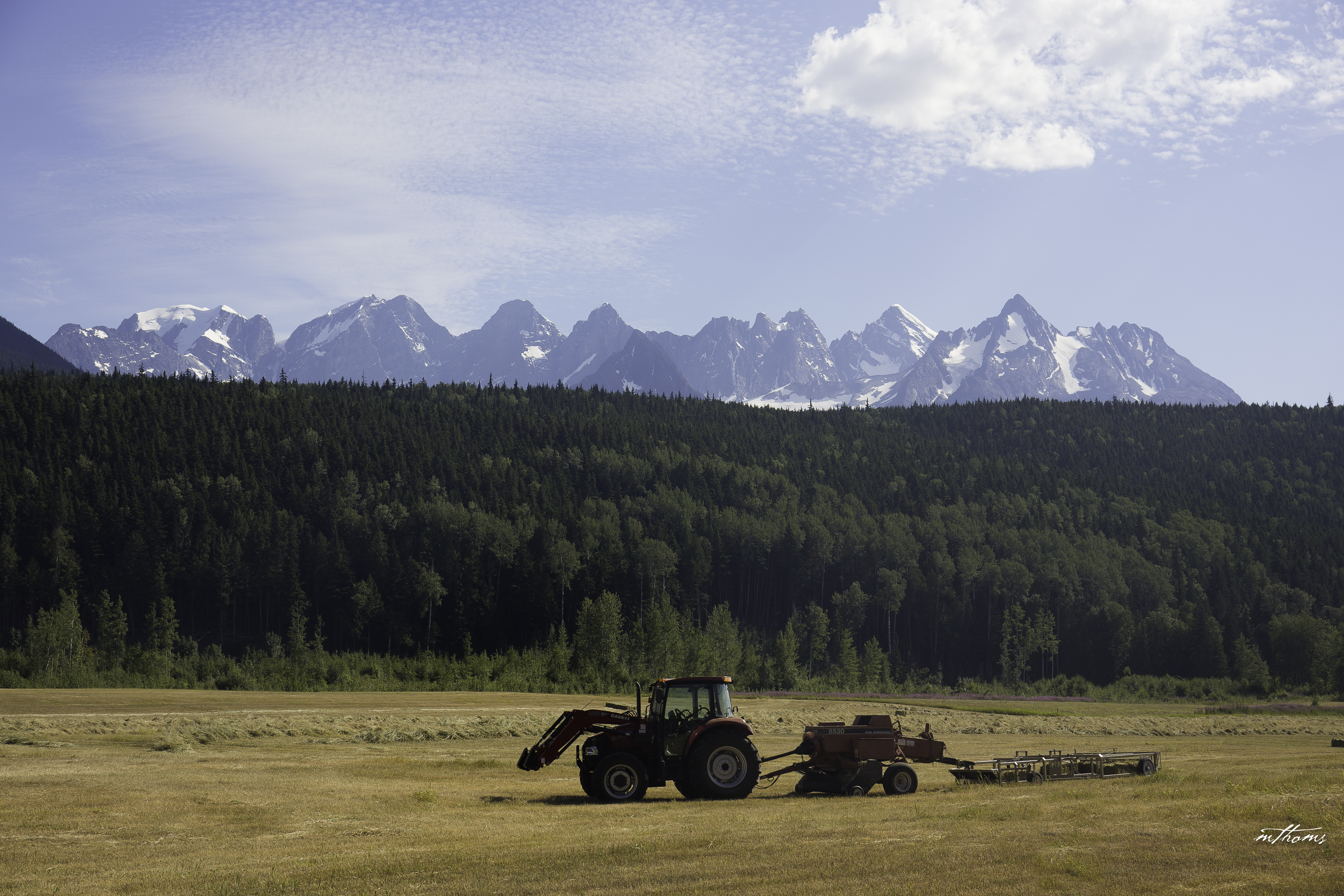
Fields and Mountains #58/100

Peaks of the Seven Sisters
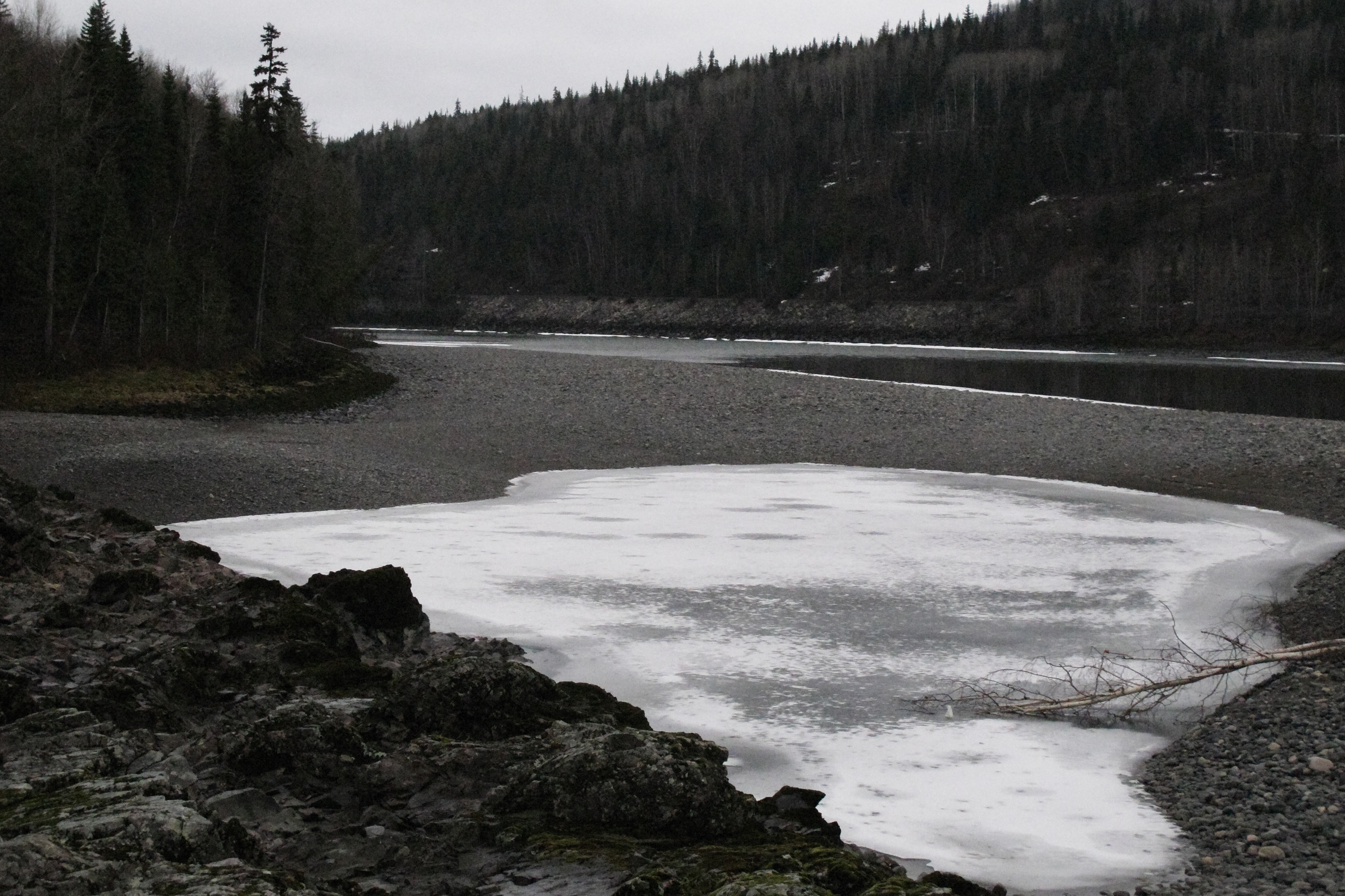
Looking downstream from the rocks-February
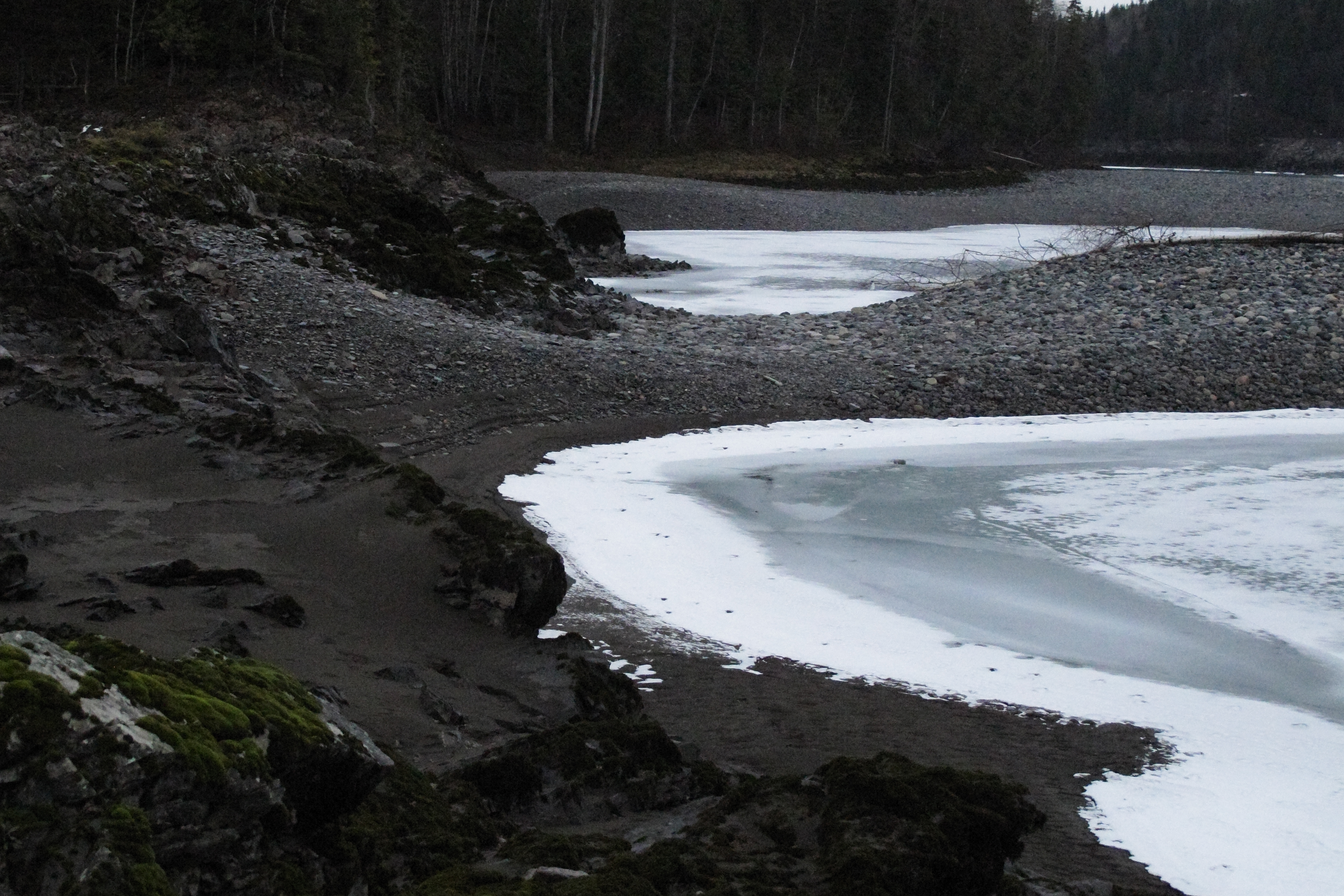
rock and ice
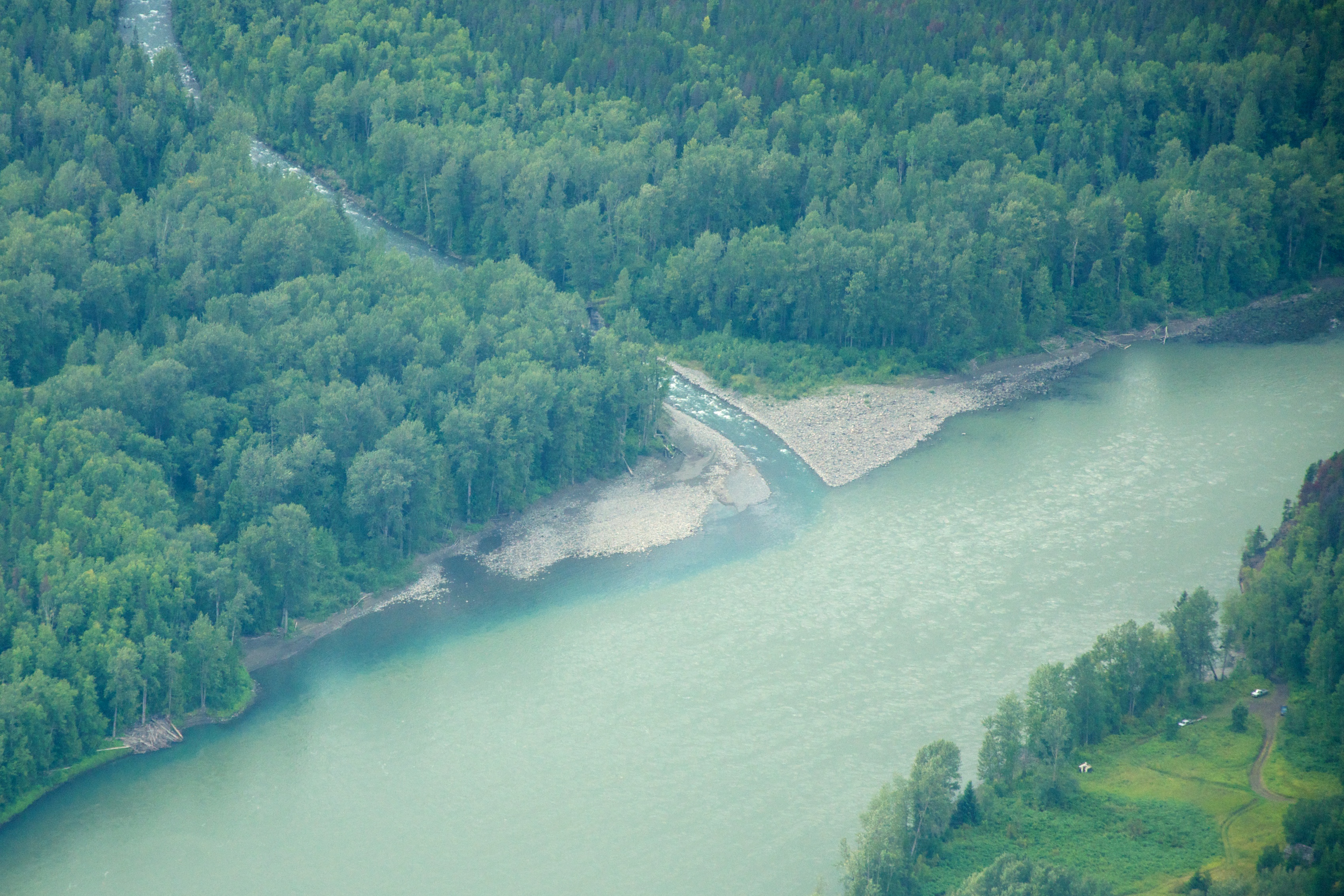
Skeena River @ Dorreen, BC
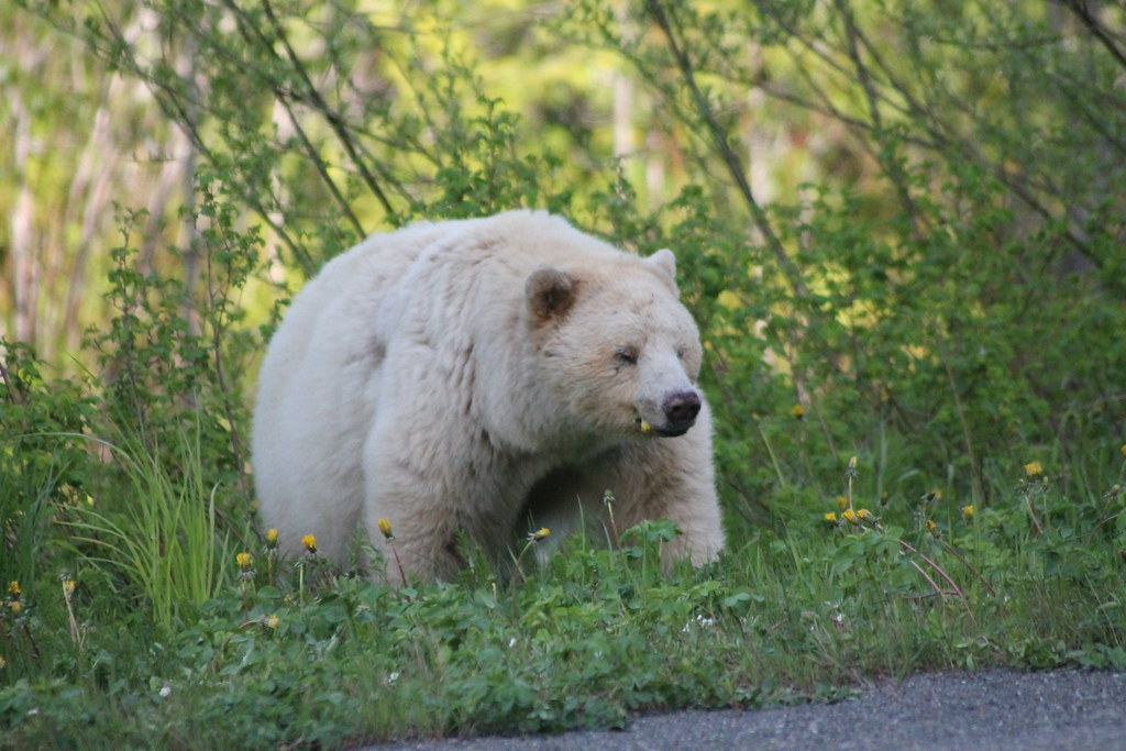
Kermode Bear

Seven Sisters range BC
Topographic Map of Seven Sisters Peaks, Kitimat-Stikine C (Part 1), BC V0J, Canada
Find elevation by address:

Places near Seven Sisters Peaks, Kitimat-Stikine C (Part 1), BC V0J, Canada:
Cedarvale
Kitwanga Peak
Kitwanga
Skeena River
Nass Camp
Oscar Peak
Alder Peak
Gitwinksihlkw
Lavender Peak
Meziadin Junction
Recent Searches:
- Elevation of Corso Fratelli Cairoli, 35, Macerata MC, Italy
- Elevation of Tallevast Rd, Sarasota, FL, USA
- Elevation of 4th St E, Sonoma, CA, USA
- Elevation of Black Hollow Rd, Pennsdale, PA, USA
- Elevation of Oakland Ave, Williamsport, PA, USA
- Elevation of Pedrógão Grande, Portugal
- Elevation of Klee Dr, Martinsburg, WV, USA
- Elevation of Via Roma, Pieranica CR, Italy
- Elevation of Tavkvetili Mountain, Georgia
- Elevation of Hartfords Bluff Cir, Mt Pleasant, SC, USA