Elevation of Gitwinksihlkw, BC, Canada
Location: Canada > British Columbia > Kitimat-stikine >
Longitude: -129.22133
Latitude: 55.191753
Elevation: 28m / 92feet
Barometric Pressure: 101KPa
Elevation Map:
Satellite Map:
Related Photos:
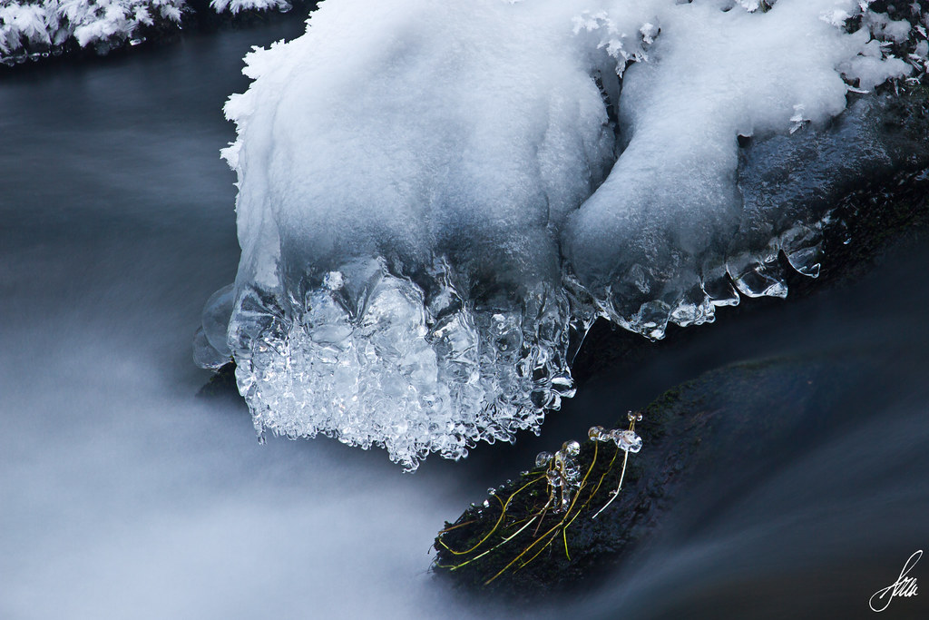
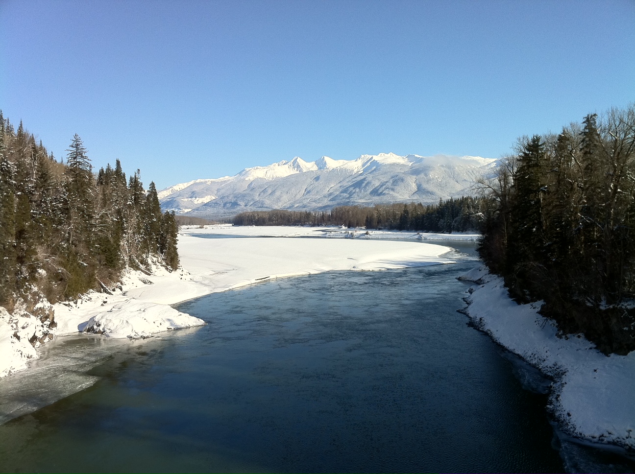
Ice on the Tseax River

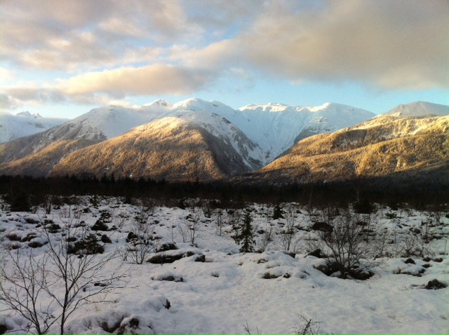
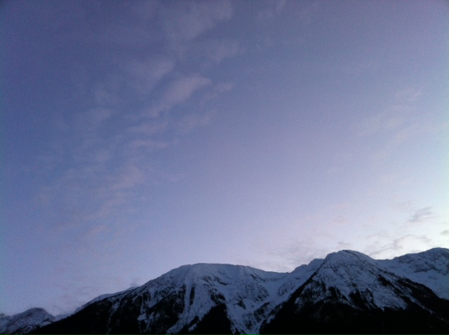
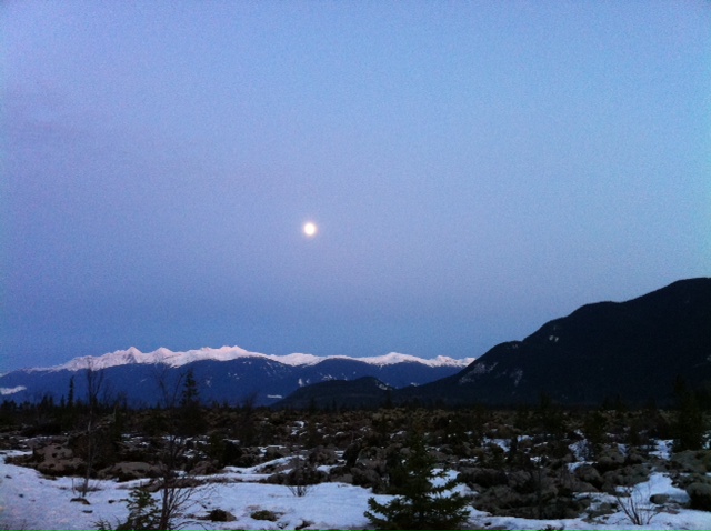
Nass Valley Mountain HDR
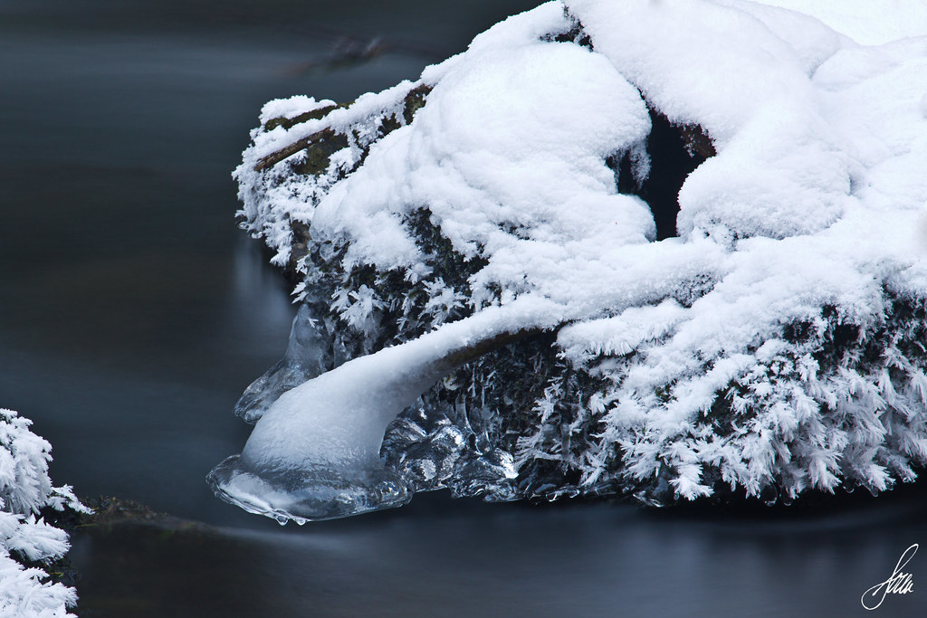
Ice on the Tseax River
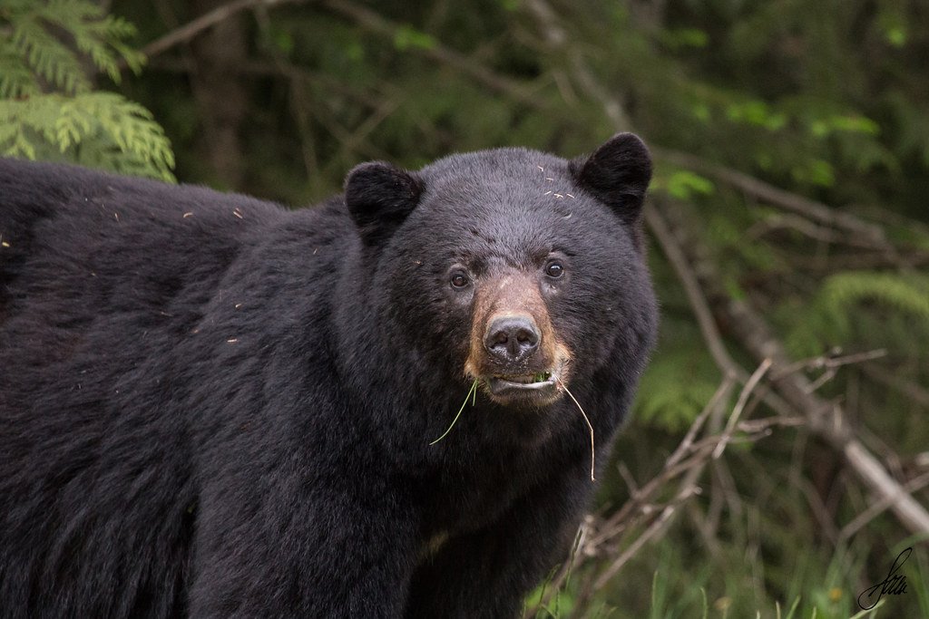
Black Bear
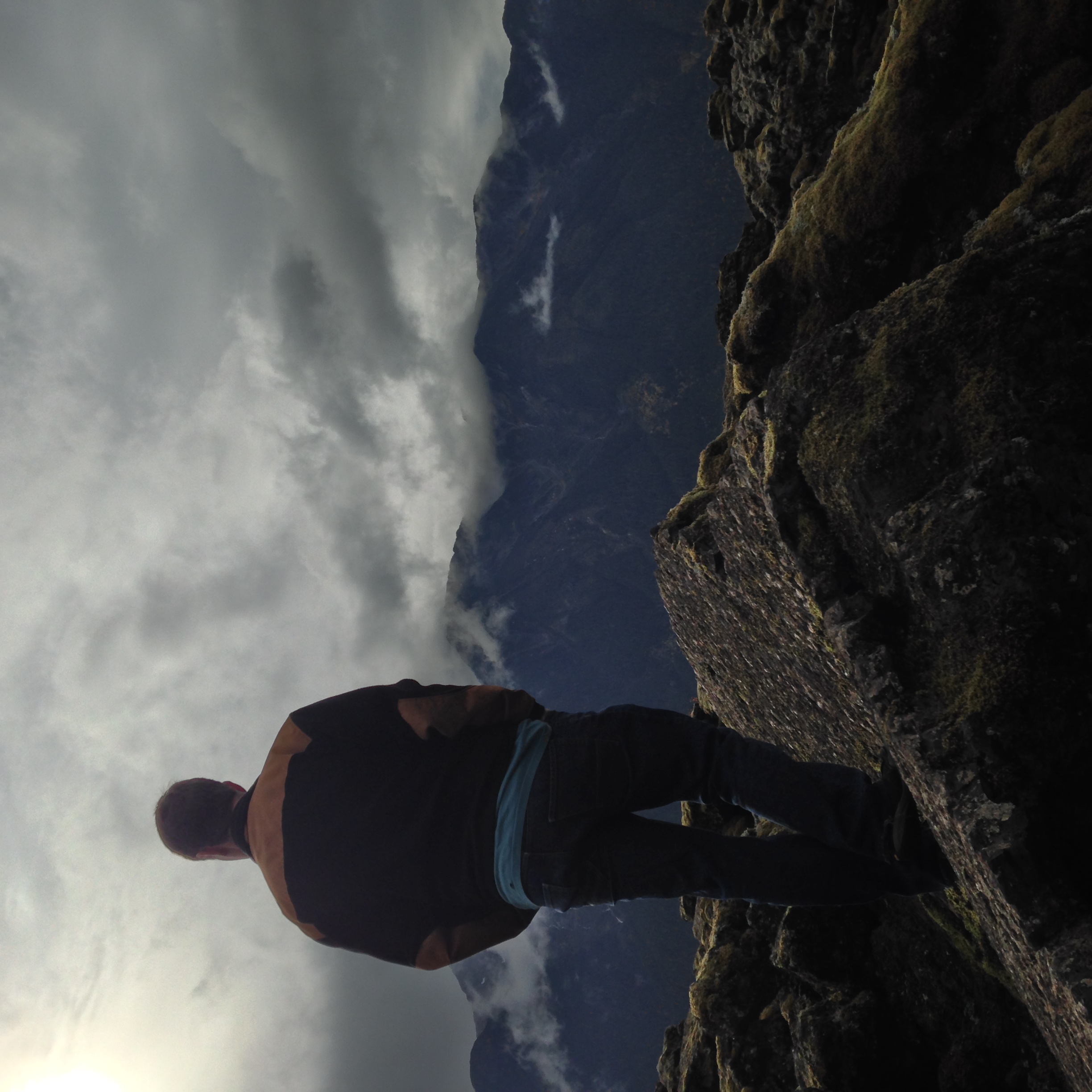
Another rough day at work
Spent the day in Gingolx
Road trip - Terrace & BC
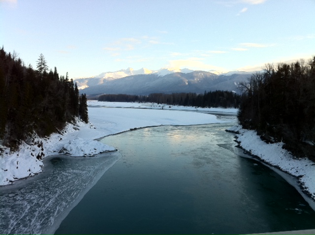
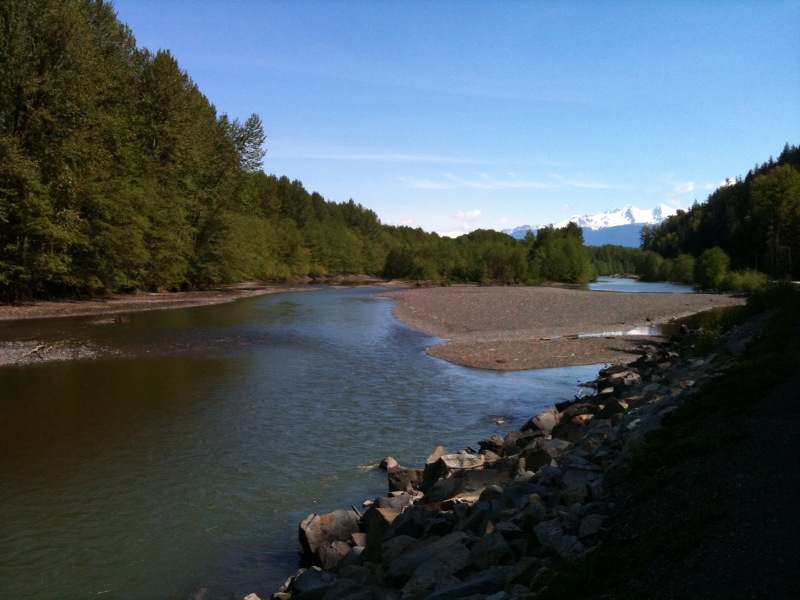
Nass River
Road trip - Terrace & BC
Road trip - Terrace & BC
Another day at work
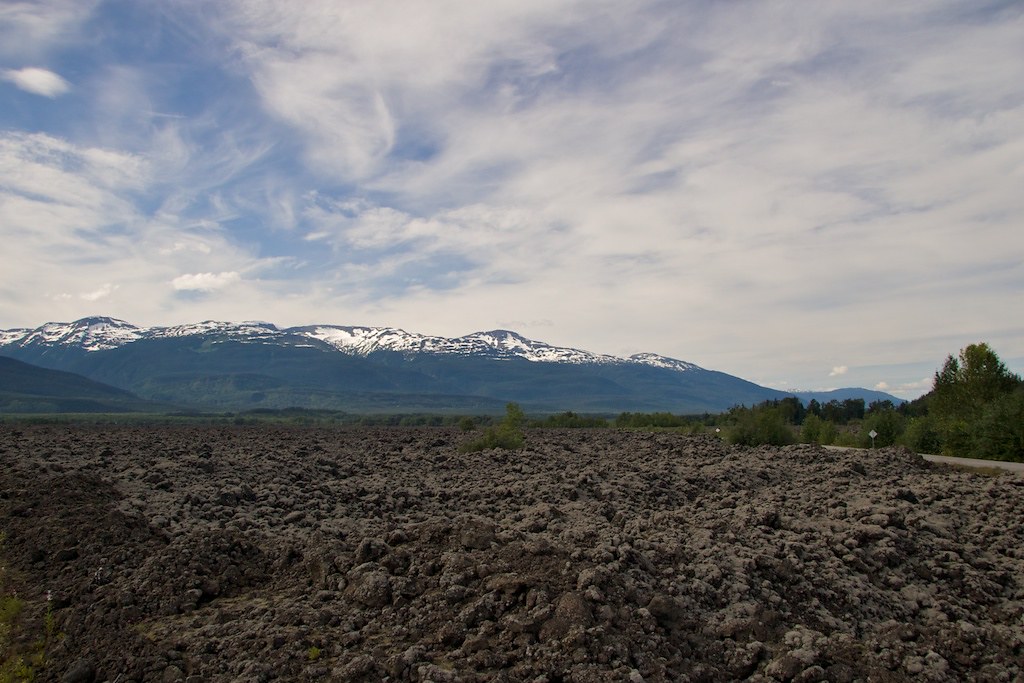
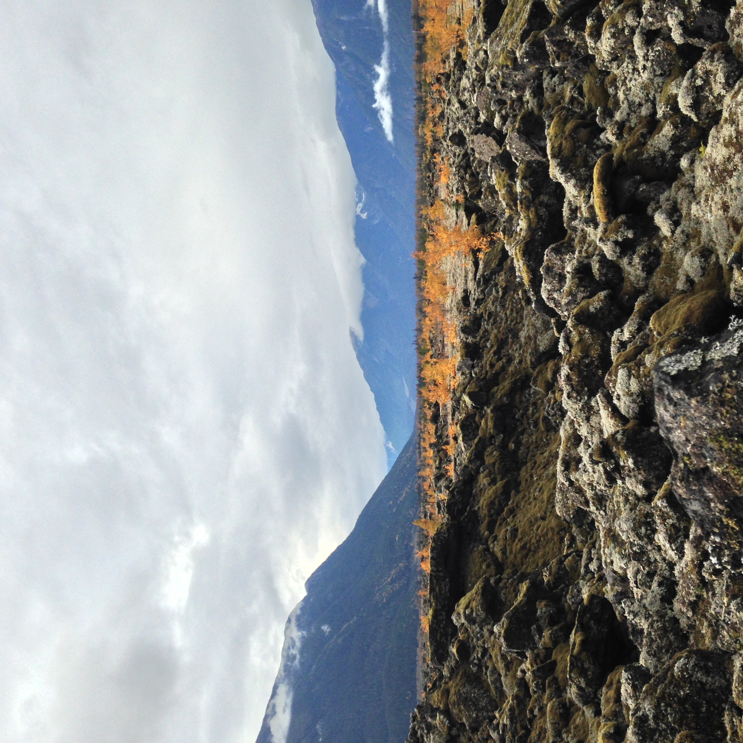
Lava fields

Nass River

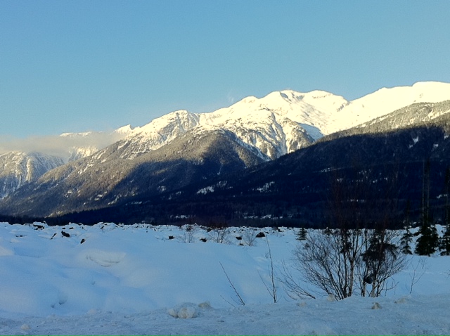
-19 degrees
Scenic drive at wok
-19 degrees
Spent the day in Gingolx

Nisga'a Memorial Lava Bed Park
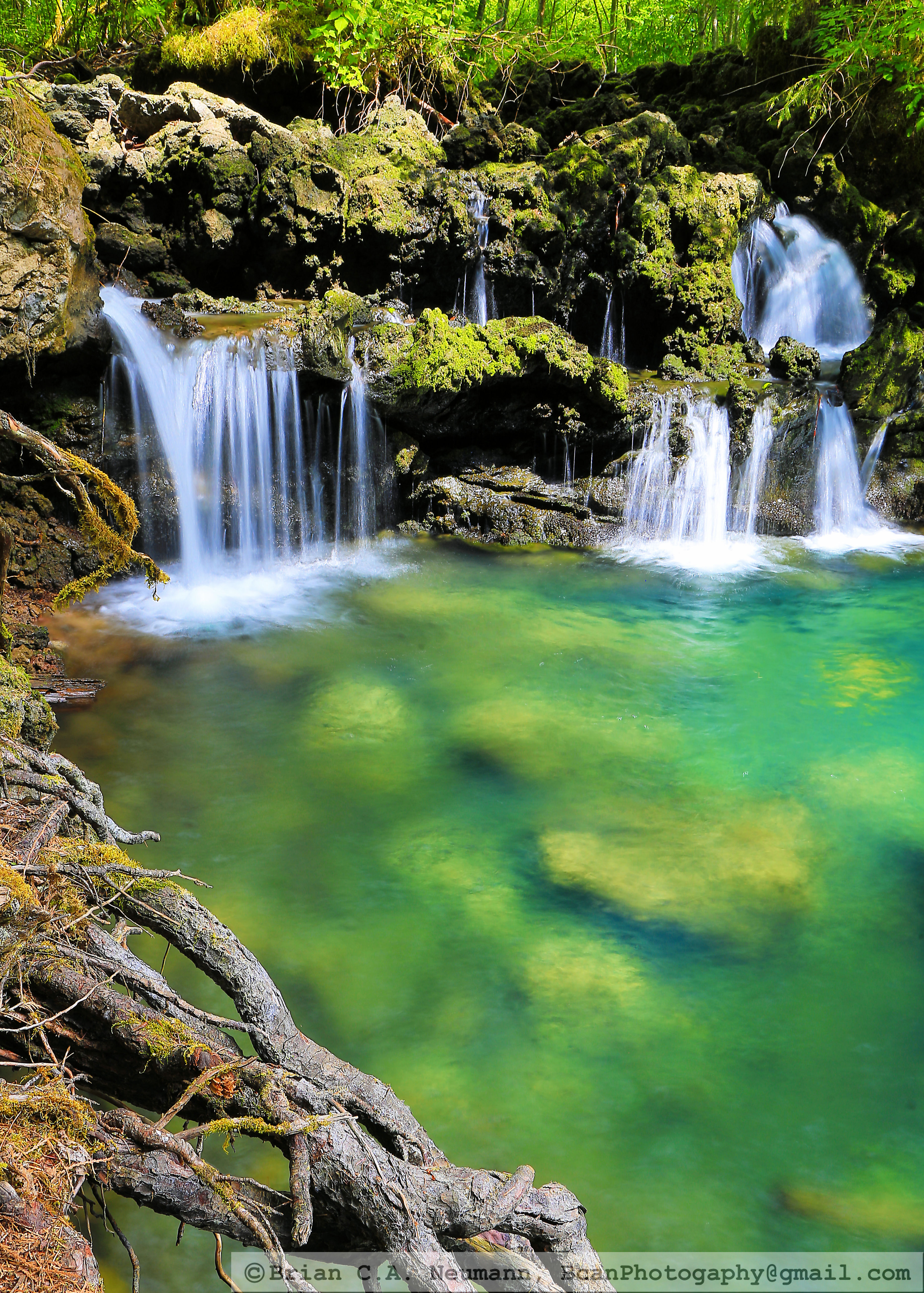
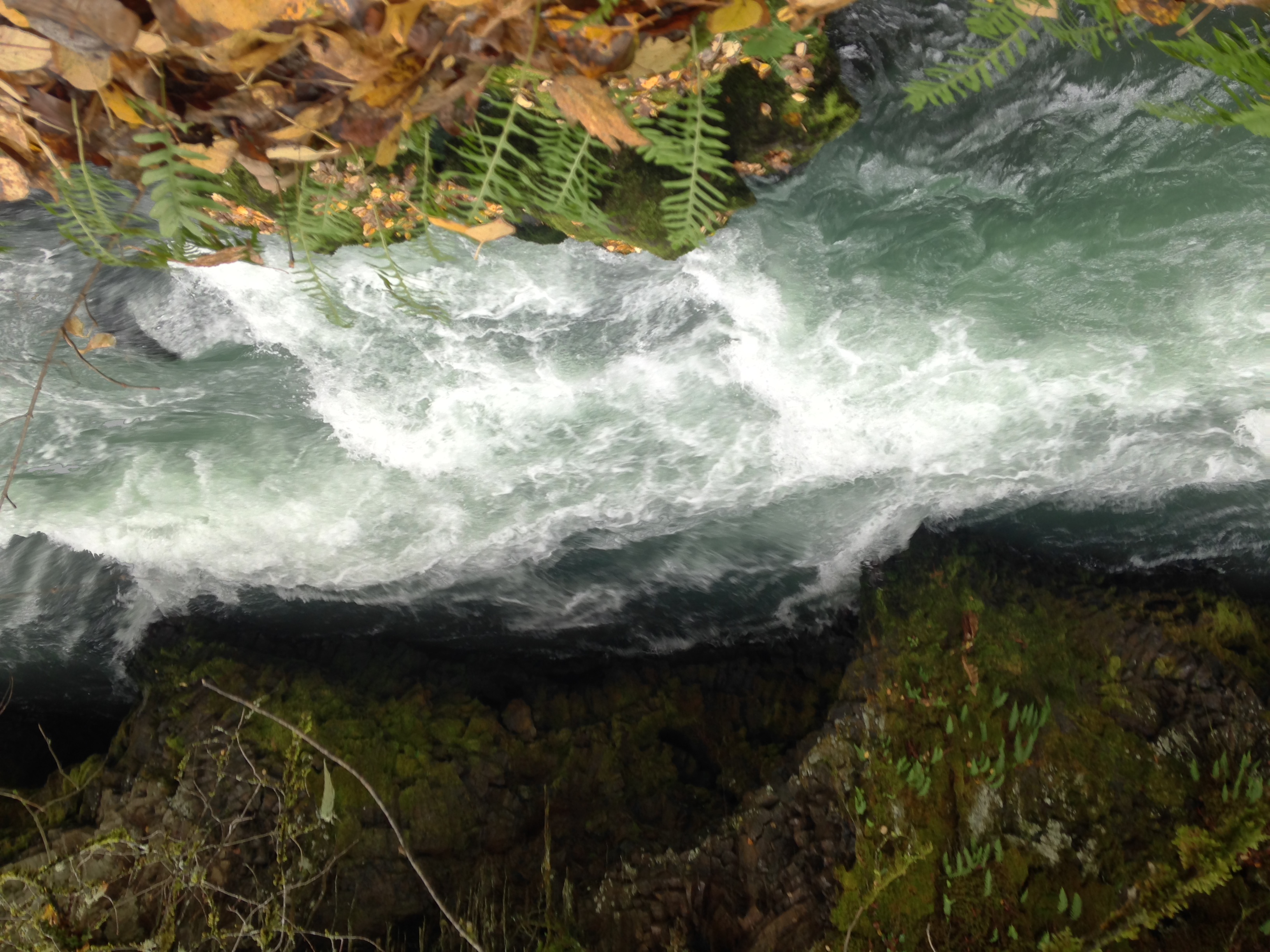
37 Grotto
Topographic Map of Gitwinksihlkw, BC, Canada
Find elevation by address:

Places in Gitwinksihlkw, BC, Canada:
Places near Gitwinksihlkw, BC, Canada:
Alder Peak
Nass Camp
Oscar Peak
Lavender Peak
Skeena River
Meziadin Junction
Cedarvale
Seven Sisters Peaks
Kitwanga Peak
Kitwanga
Recent Searches:
- Elevation of Corso Fratelli Cairoli, 35, Macerata MC, Italy
- Elevation of Tallevast Rd, Sarasota, FL, USA
- Elevation of 4th St E, Sonoma, CA, USA
- Elevation of Black Hollow Rd, Pennsdale, PA, USA
- Elevation of Oakland Ave, Williamsport, PA, USA
- Elevation of Pedrógão Grande, Portugal
- Elevation of Klee Dr, Martinsburg, WV, USA
- Elevation of Via Roma, Pieranica CR, Italy
- Elevation of Tavkvetili Mountain, Georgia
- Elevation of Hartfords Bluff Cir, Mt Pleasant, SC, USA