Elevation of Seven Gables, California, USA
Location: United States > California > Fresno County > Lakeshore >
Longitude: -118.83372
Latitude: 37.3113267
Elevation: 3829m / 12562feet
Barometric Pressure: 63KPa
Elevation Map:
Satellite Map:
Related Photos:
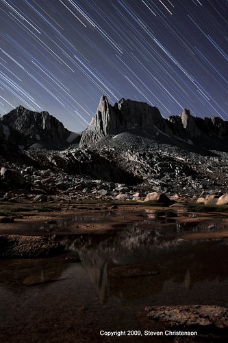
Granite Park - 53 Minutes (edited)
Ruby Lake at 11,000 feet elevation, above the Little Lakes Valley in the Eastern Sierra Mountains (mono63xy)
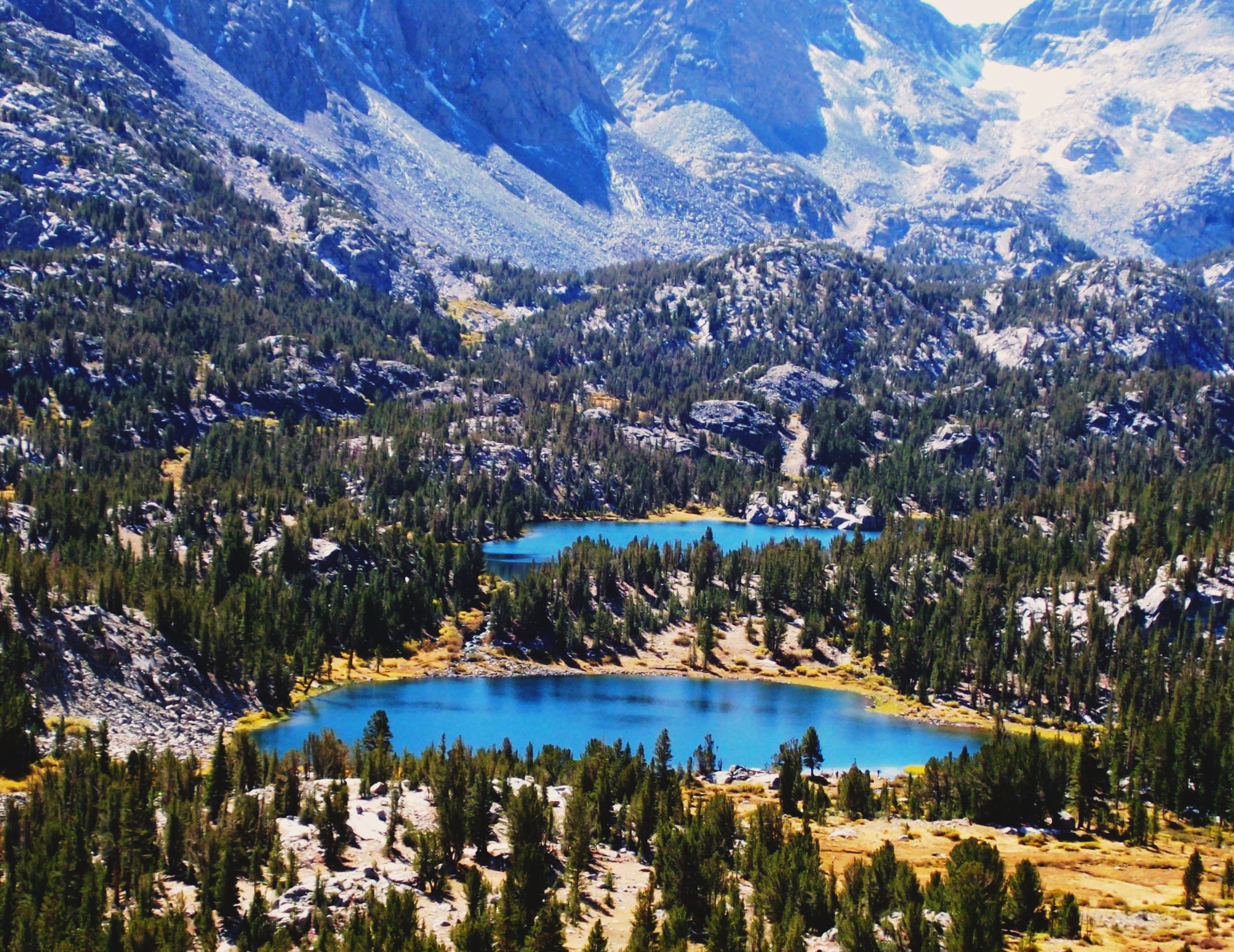
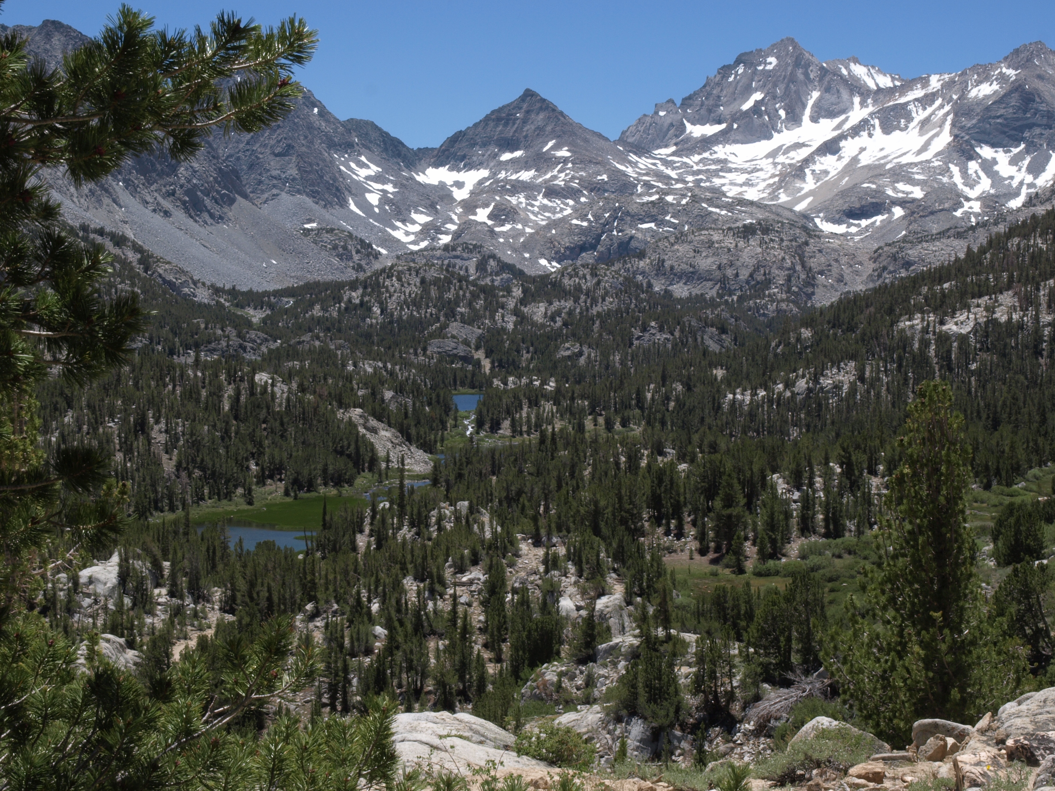
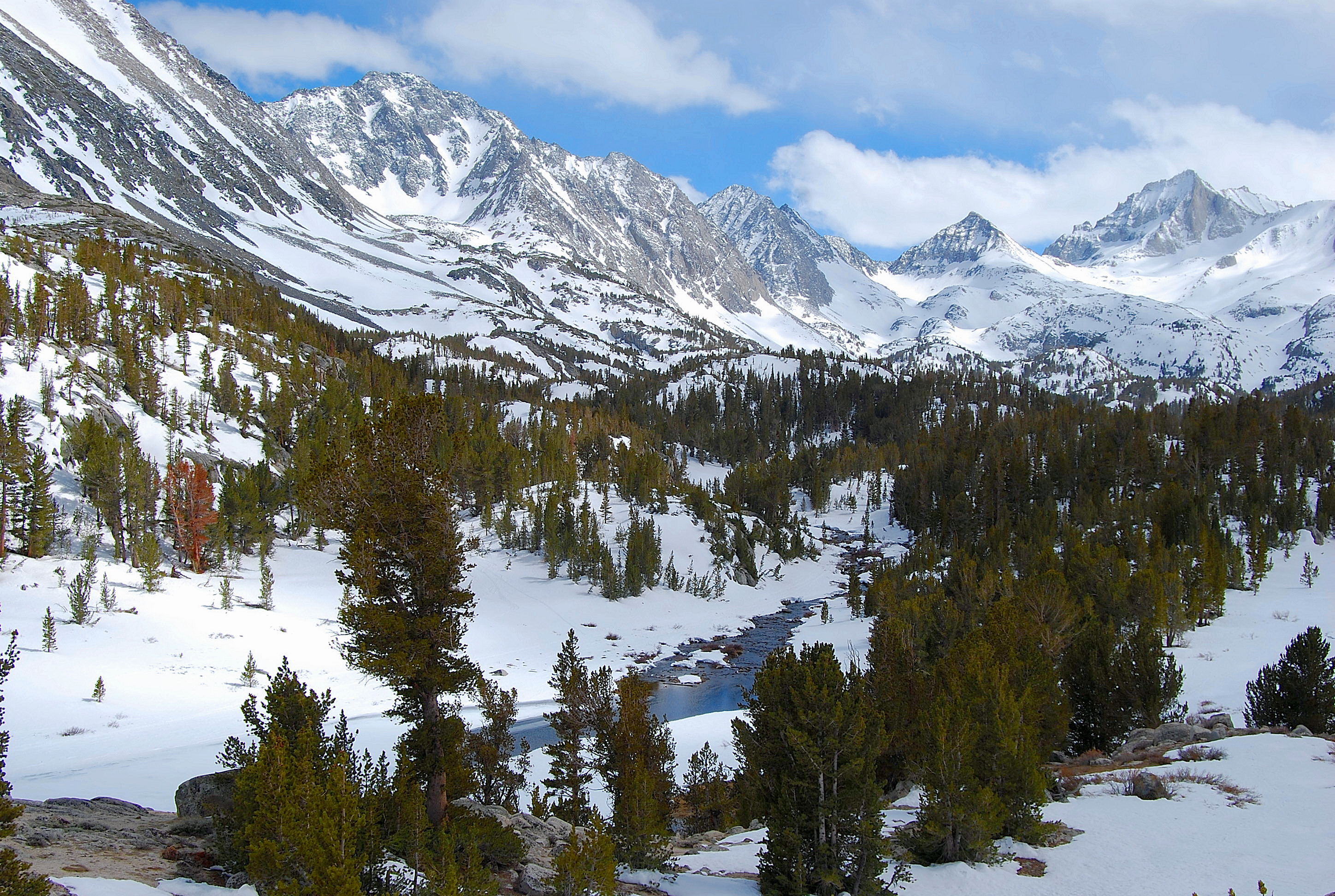
Little Lakes Valley in the High Sierra from the Mono Pass trail near Bishop, CA (mono12xy)
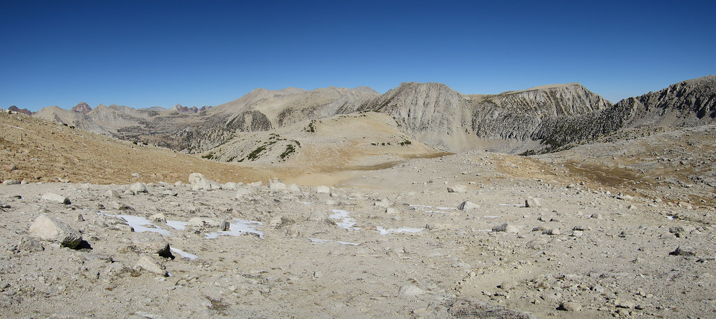
View from Mono Pass - Panorama
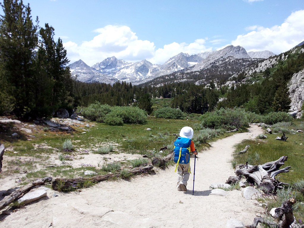
Hiking into the High Sierras along the Mono Pass Trail - mono20

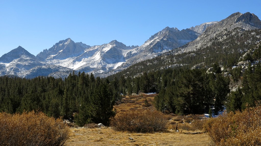
Eastern Sierra View
Little Lakes Valley, view from the Mono Pass Trail, Eastern Sierra, CA - mono09x
Hiking up the Mono Pass Trail from the Little Lakes Valley, CA - mono08
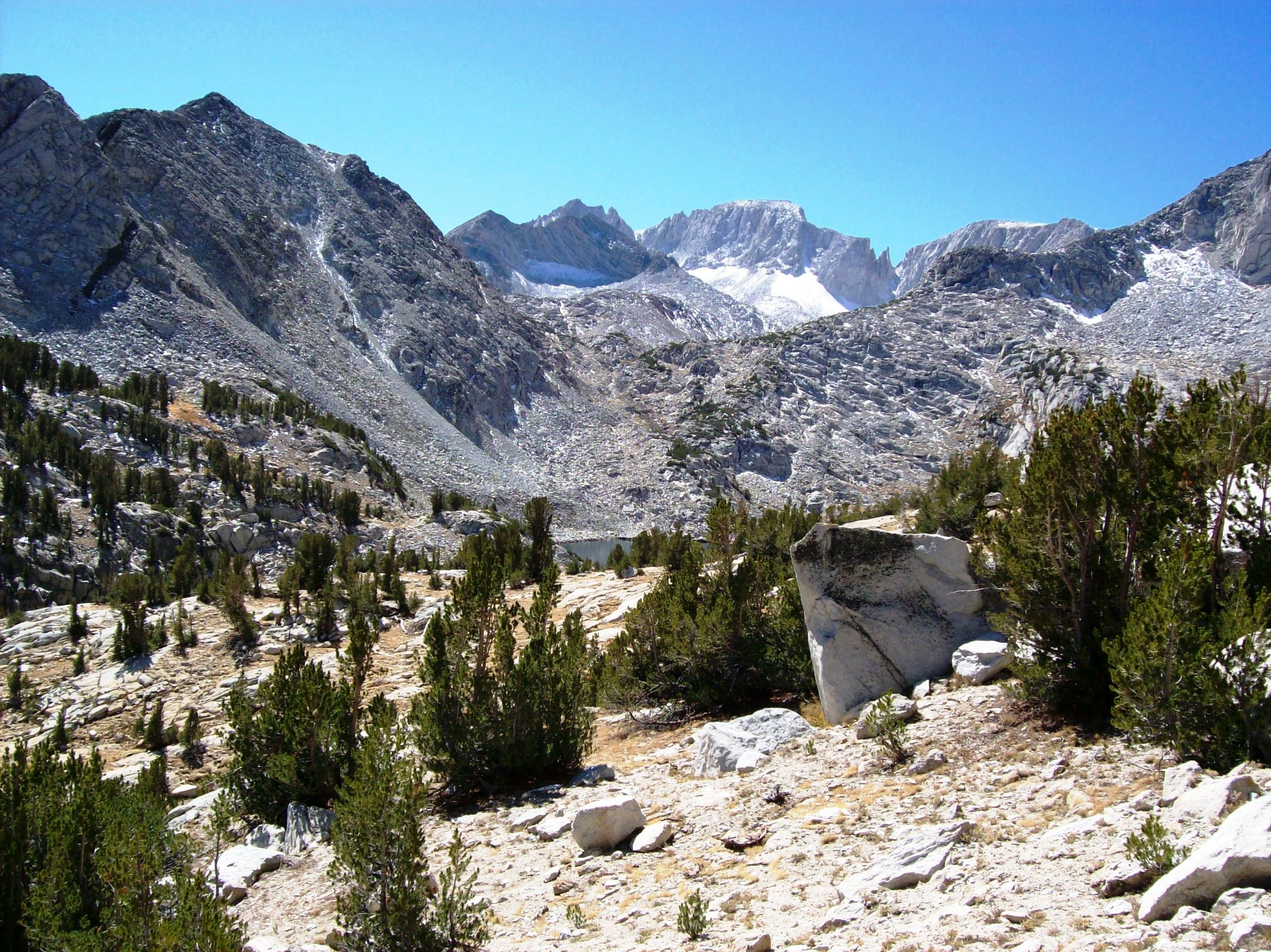
Western flank of Mount Morgan across the Little Lakes Valley, viewed from the flank of Mount Starr - mono15x
No lake visible, but one of the prettiest views along the trail.
Long Lake, Rock Creek
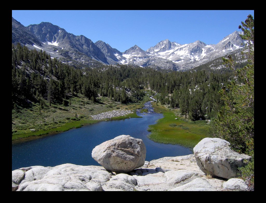
View west from Little Lakes Valley
View from Pine Creek Pass to Elba Lake
North end of L Lake, with Merriam and Royce Peaks upper left.
upper Rock Creek basin, view south from Ruby Lake trail, Sierra Nevada
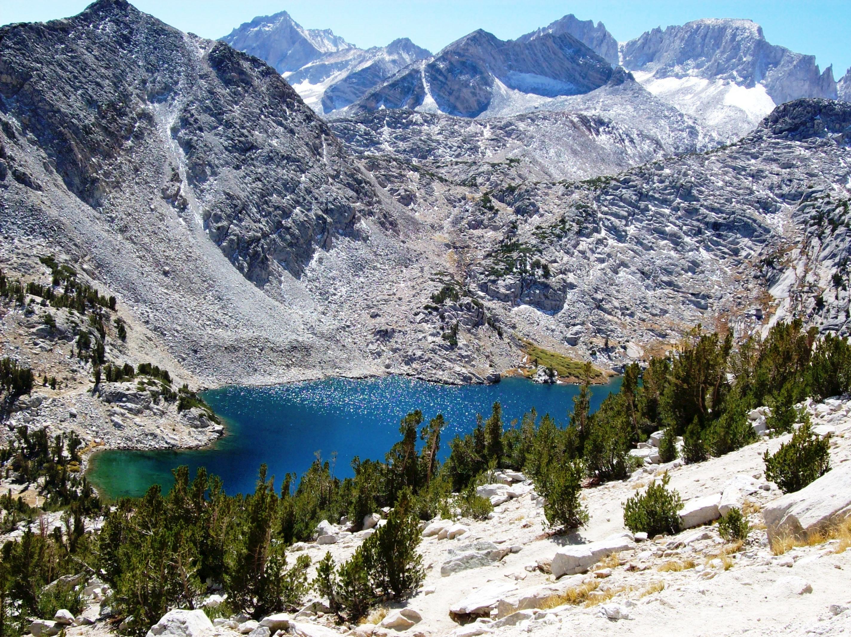
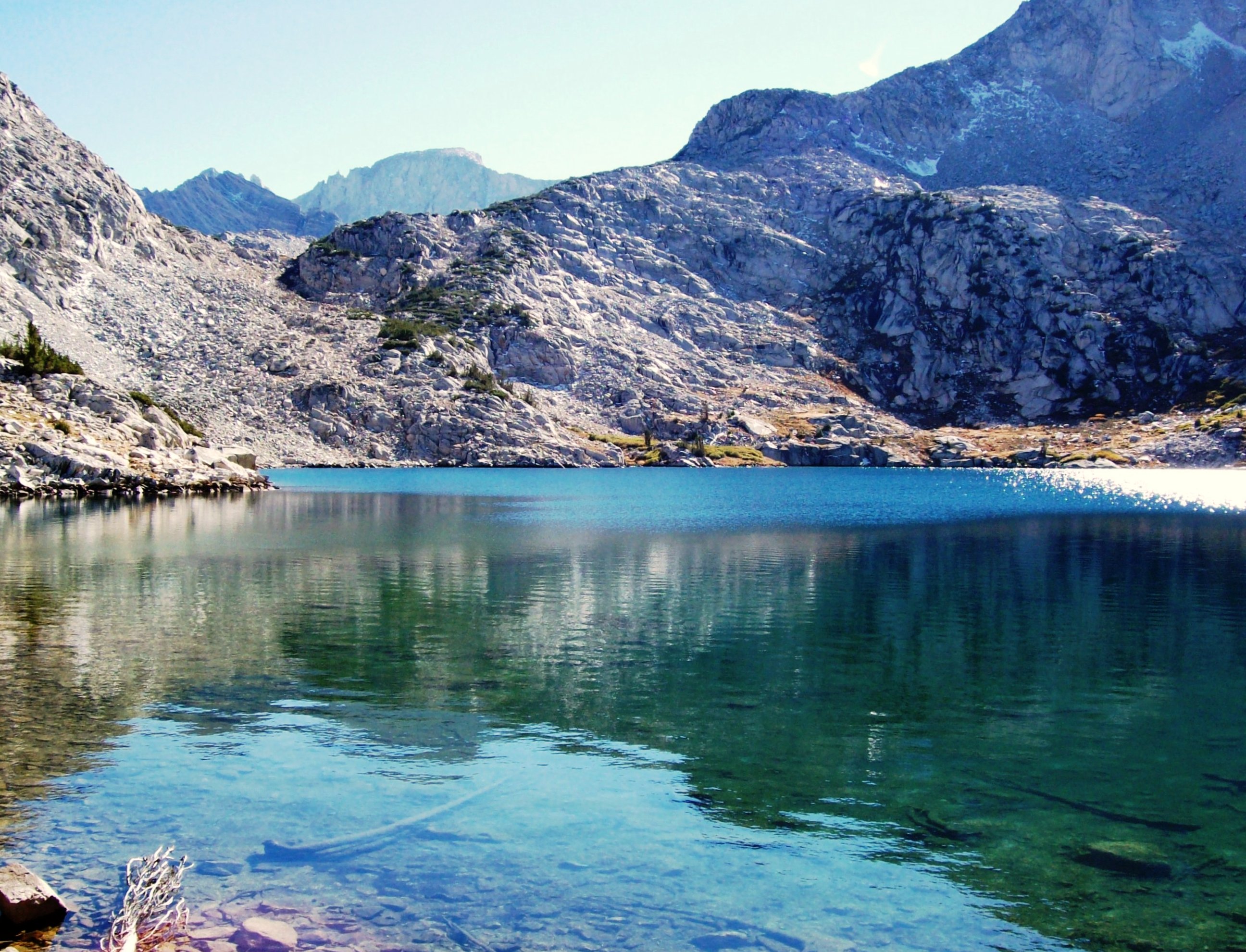
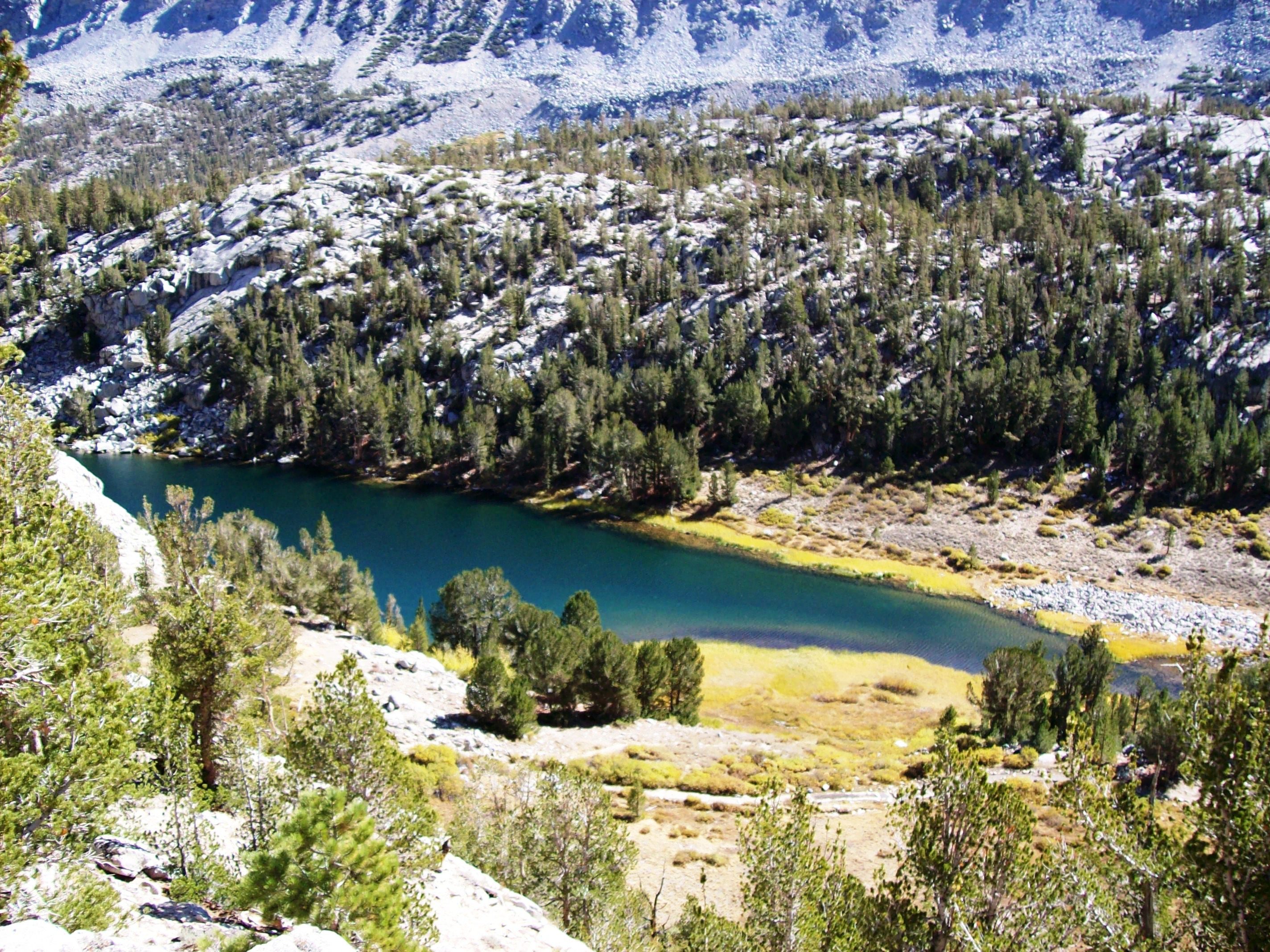
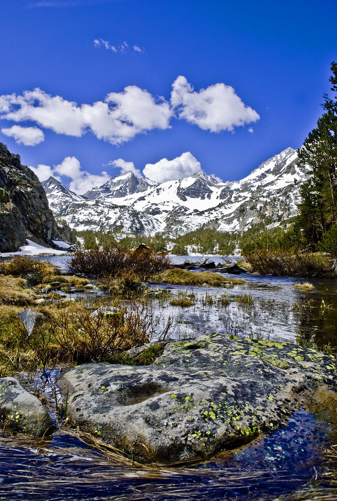
Azure-blue Ruby Lake above Little Lakes Valley, viewed from 11,500 feet, in the Eastern Sierra Mountains (mono24xy)
Ruby Lake at 11,000 feet - surrounded by the crest of the Sierra Mountains (mono57xy)
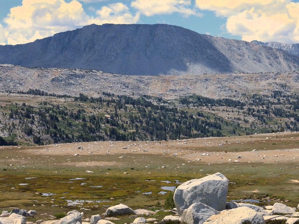
Rock Creek Vista
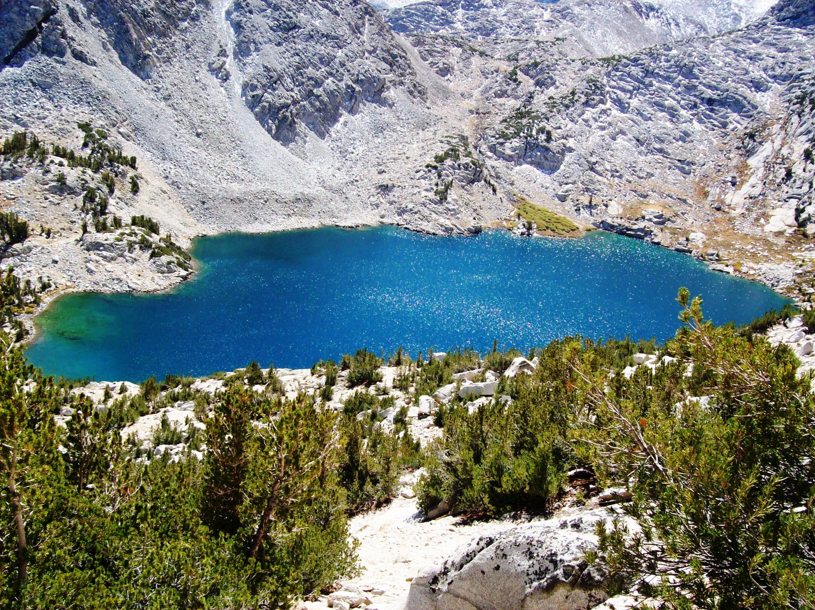
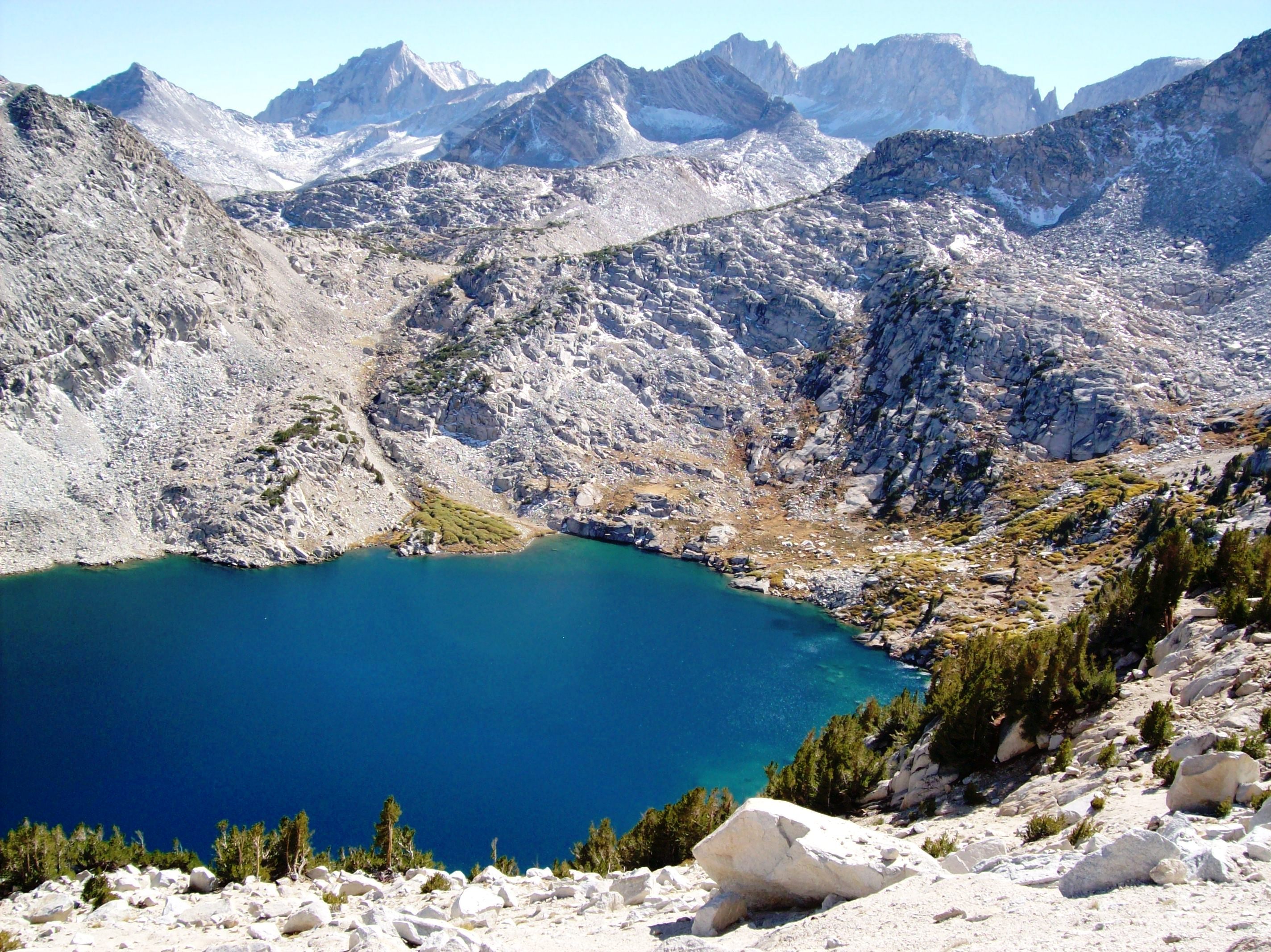
Blue as blue can be - Ruby Lake above Little Lakes Valley, viewed from 11,500 feet, Eastern Sierra (mono25xy)
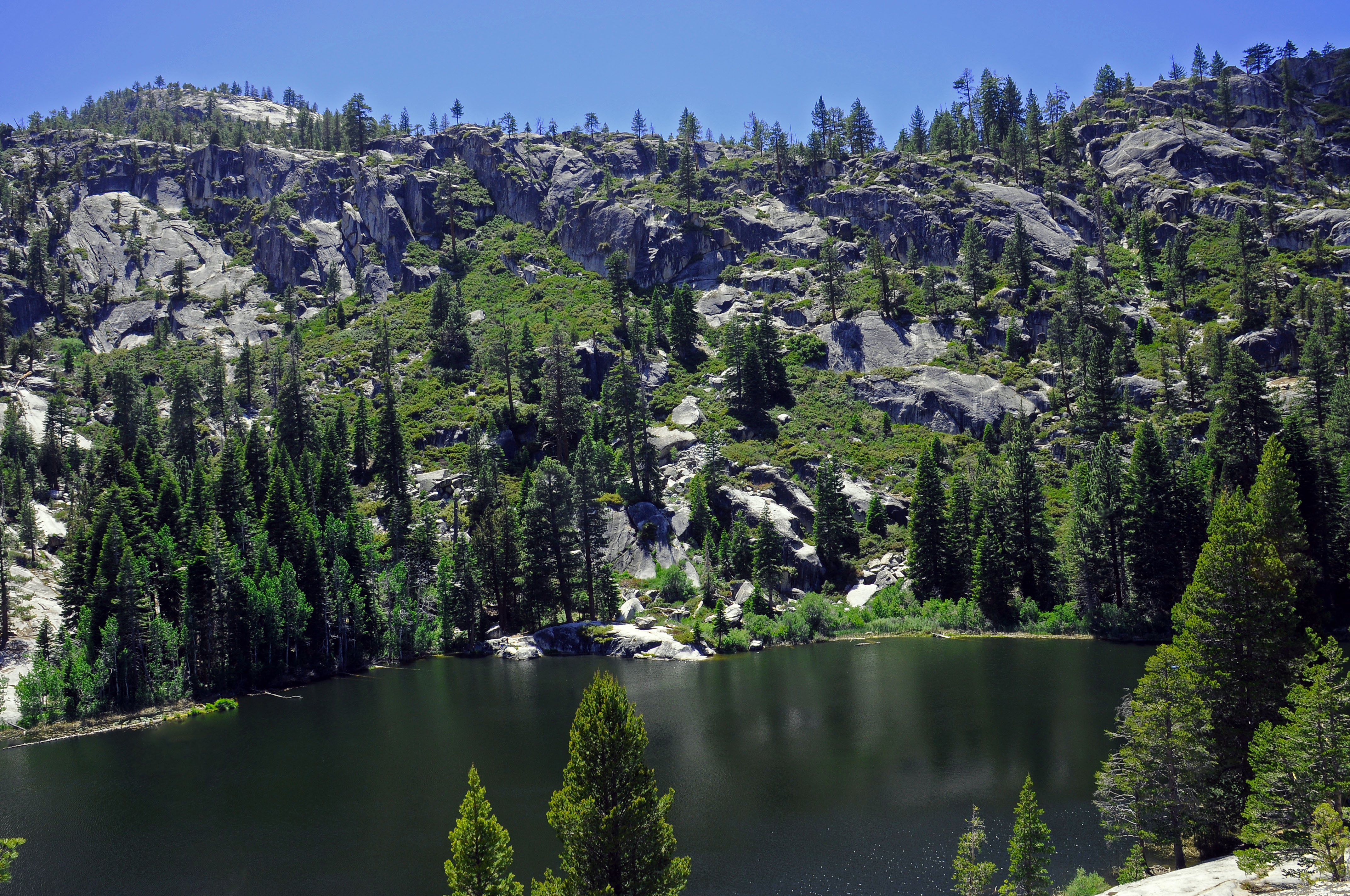
Ward Lake, CA
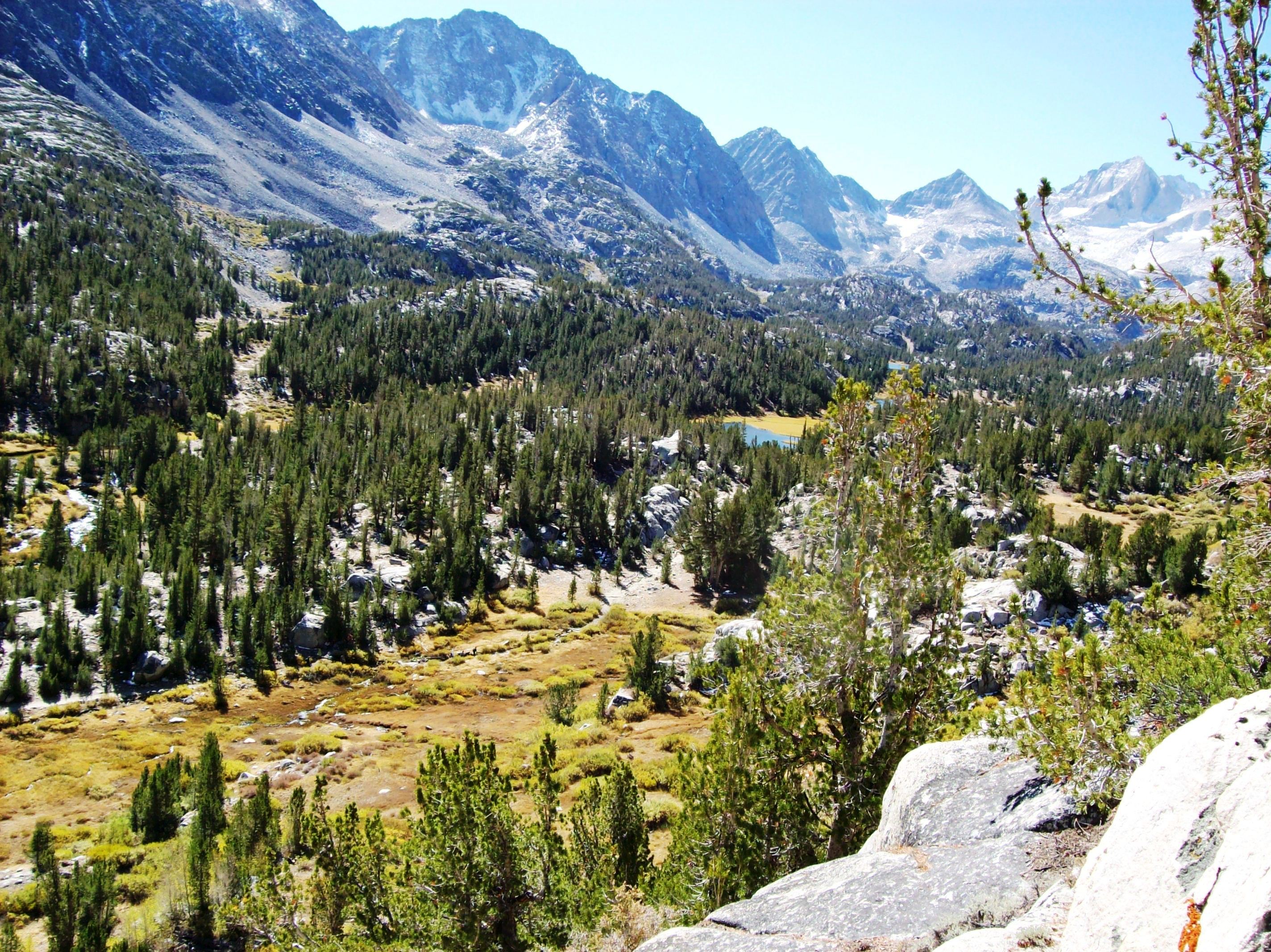
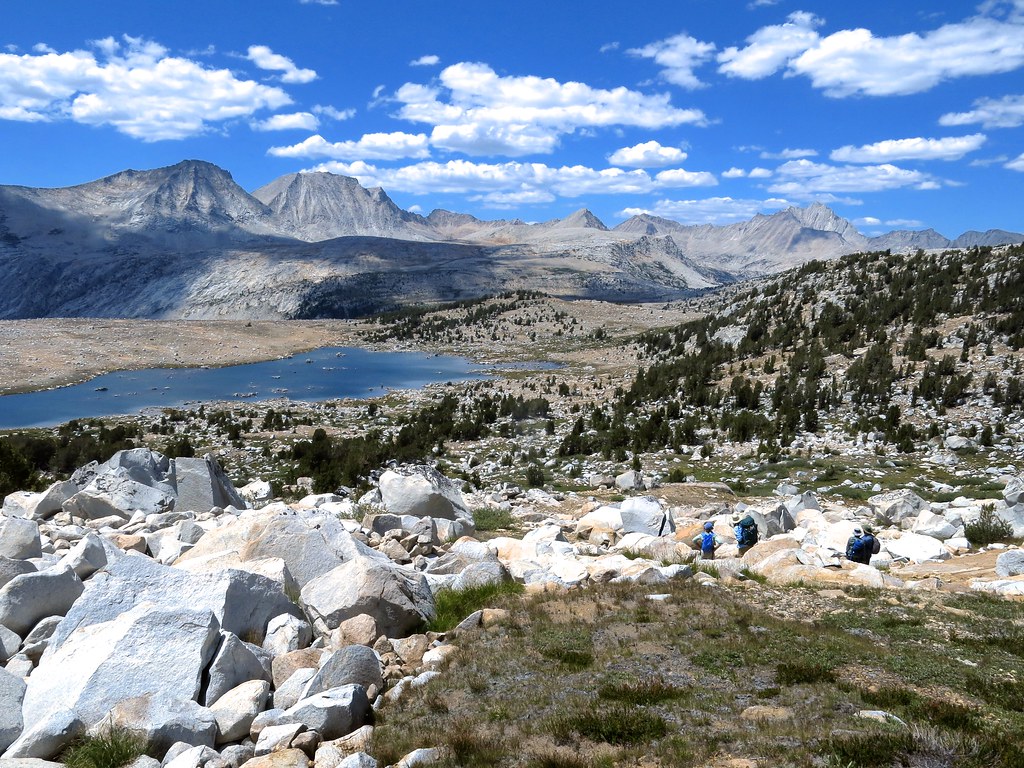
Little Lakes Valley
Topographic Map of Seven Gables, California, USA
Find elevation by address:

Places near Seven Gables, California, USA:
Turret Peak
Lake Italy
Royce Peak
Mount Hooper
Mount Gabb
Recess Peak
Pavilion Dome
John Muir Trail
Pilot Knob
Bear Creek Spire
Pine Creek Pass
Ward Mountain
Mount Henry
Jackass Dike
Zingheim Heights
Mount Shinn
Bear Ridge
Mount Starr
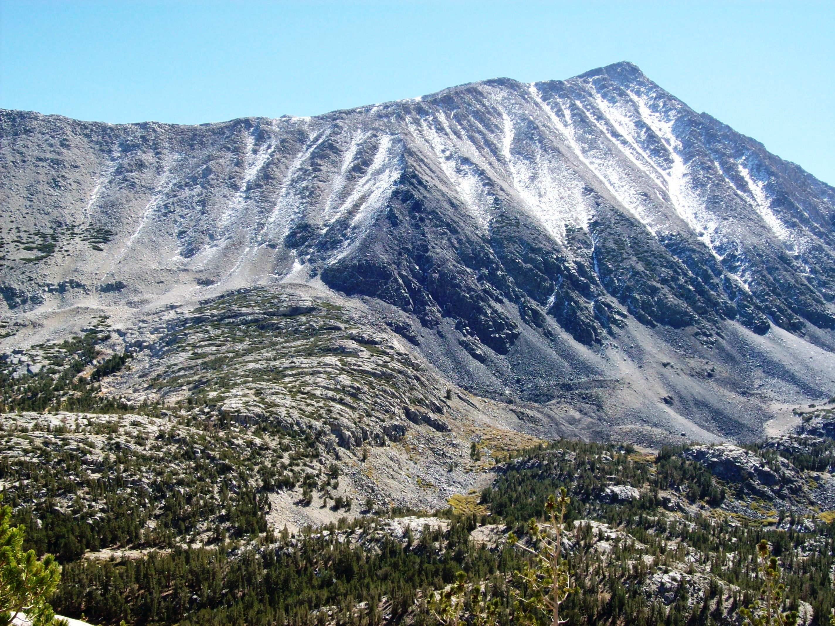
Mount Morgan
Four Gables
Recent Searches:
- Elevation of Corso Fratelli Cairoli, 35, Macerata MC, Italy
- Elevation of Tallevast Rd, Sarasota, FL, USA
- Elevation of 4th St E, Sonoma, CA, USA
- Elevation of Black Hollow Rd, Pennsdale, PA, USA
- Elevation of Oakland Ave, Williamsport, PA, USA
- Elevation of Pedrógão Grande, Portugal
- Elevation of Klee Dr, Martinsburg, WV, USA
- Elevation of Via Roma, Pieranica CR, Italy
- Elevation of Tavkvetili Mountain, Georgia
- Elevation of Hartfords Bluff Cir, Mt Pleasant, SC, USA