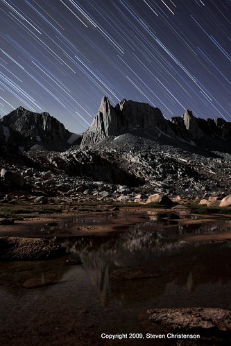
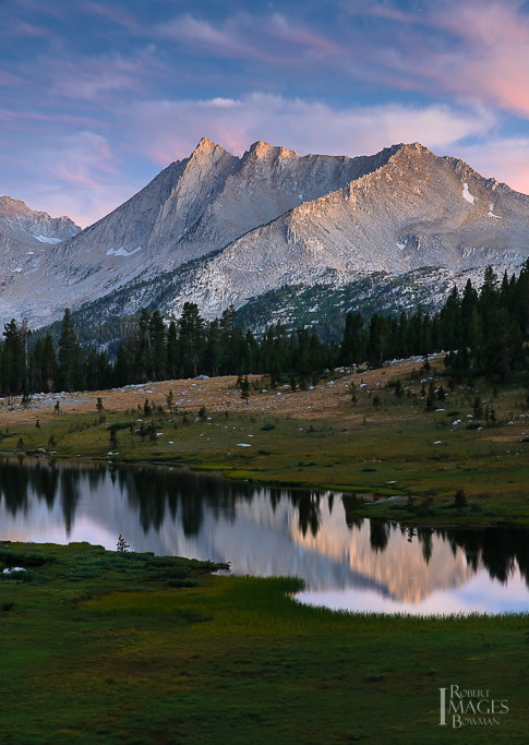
Elevation of Mount Starr, Mt Starr, California, USA
Location: United States > California > Bishop >
Longitude: -118.7651231
Latitude: 37.4291006
Elevation: 3877m / 12720feet
Barometric Pressure: 0KPa
Related Photos:
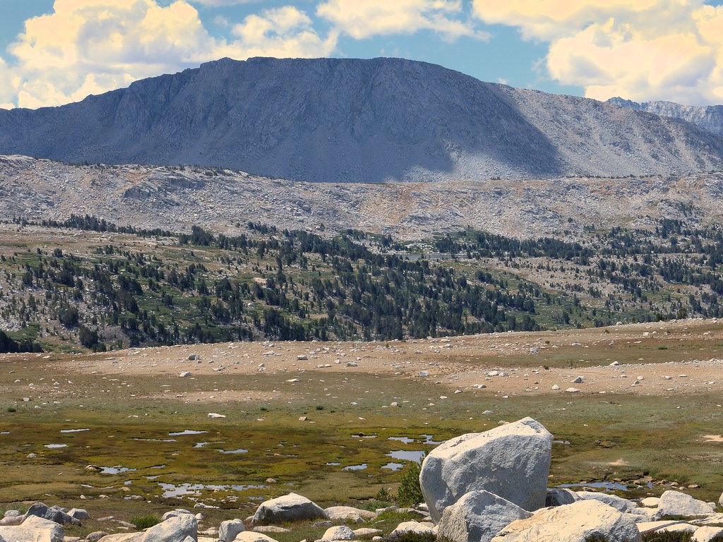
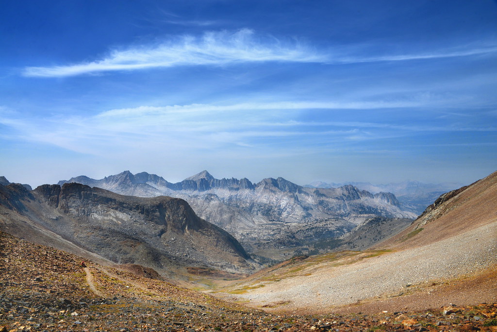
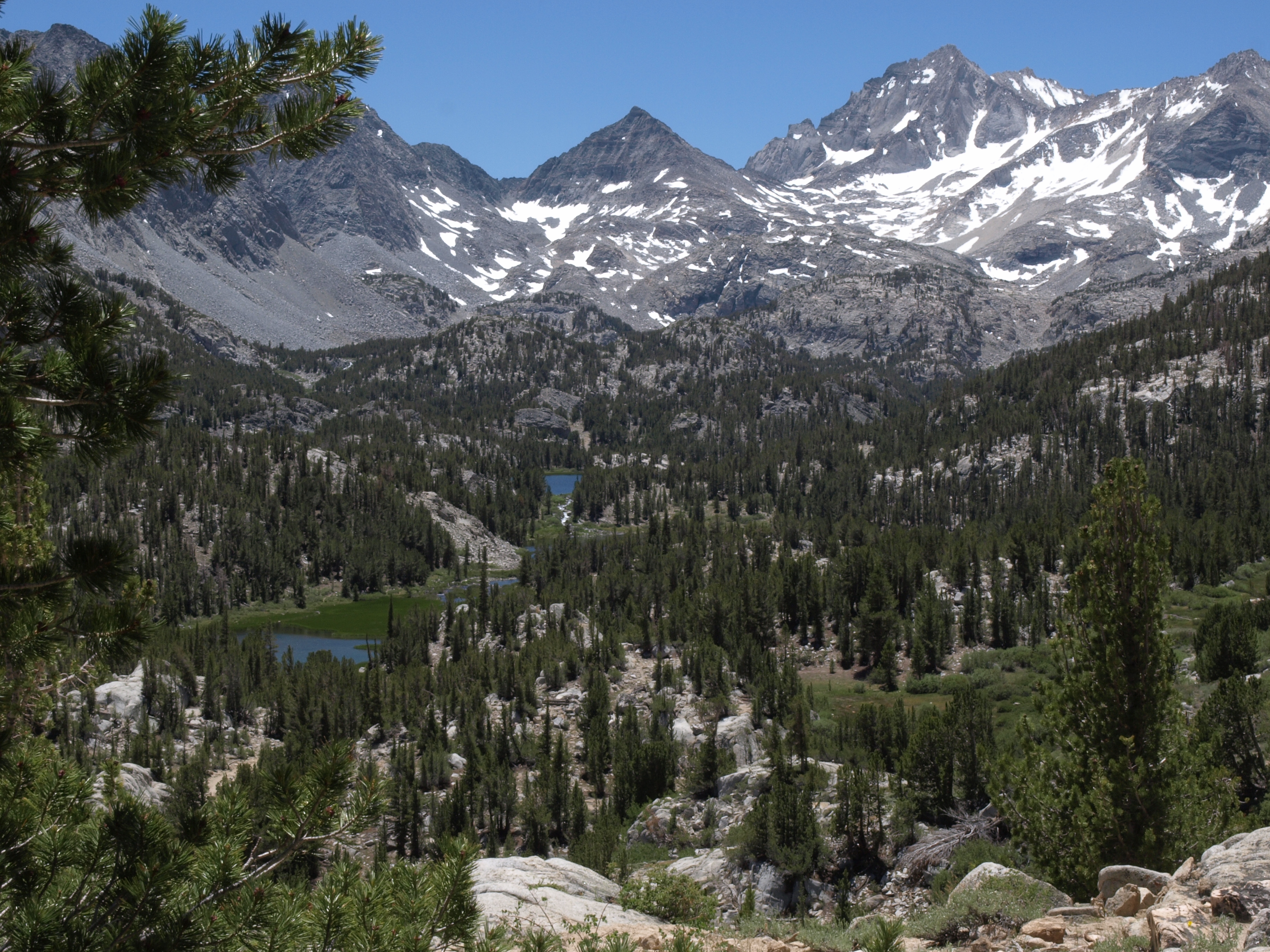
View from Pine Creek Pass to Elba Lake
North end of L Lake, with Merriam and Royce Peaks upper left.
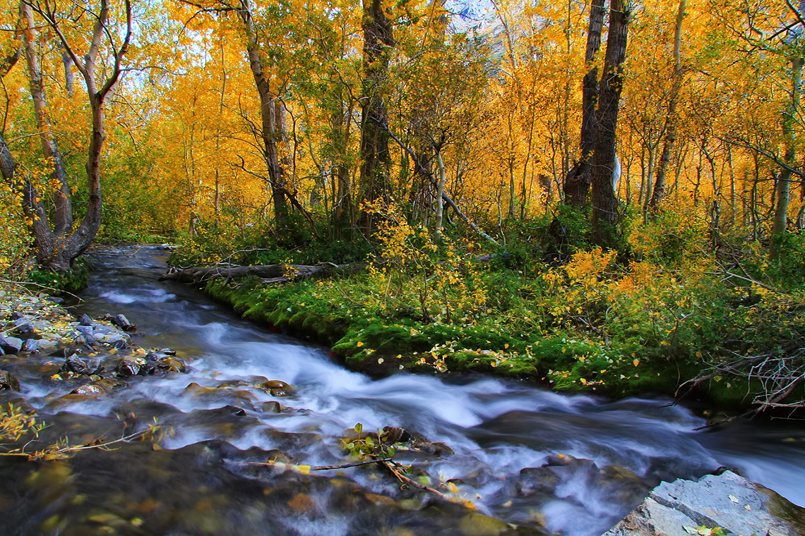
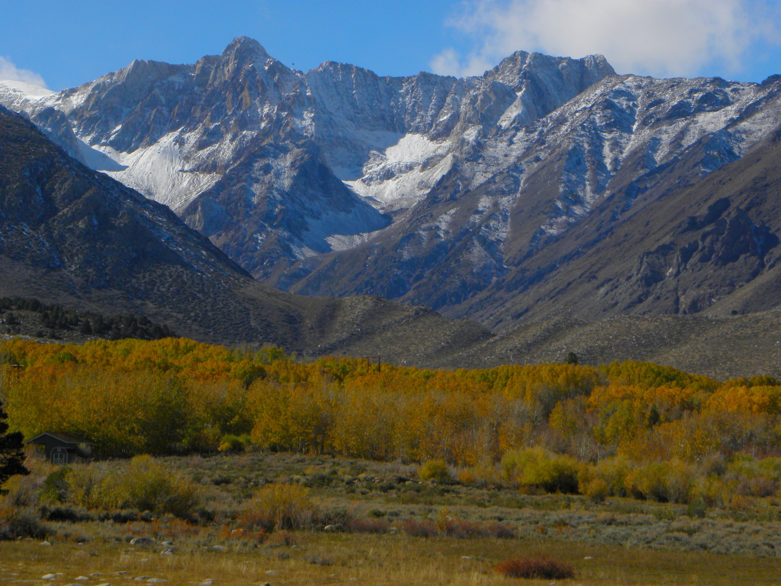
Autumn in McGee Creek
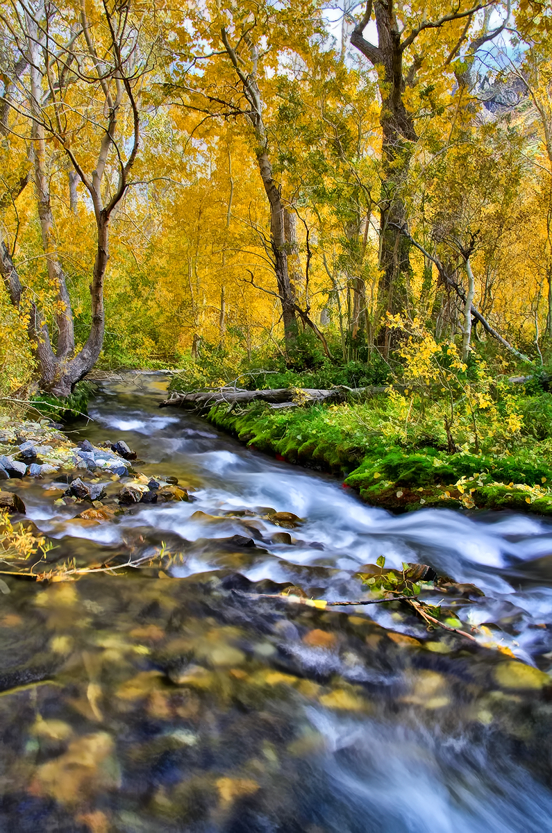
Gorgeous McGee Creek
Granite Park - 53 Minutes (edited)
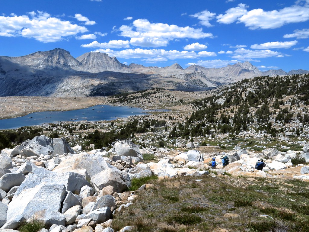
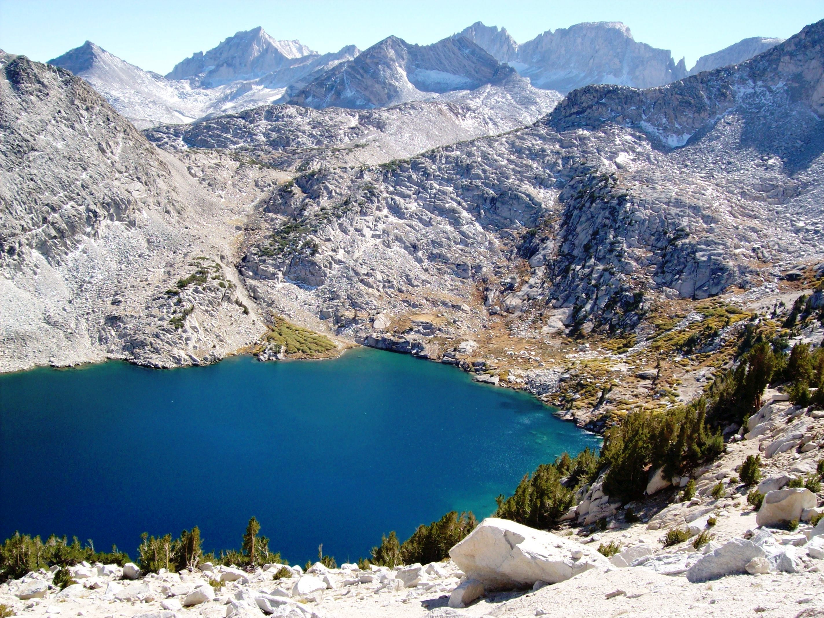
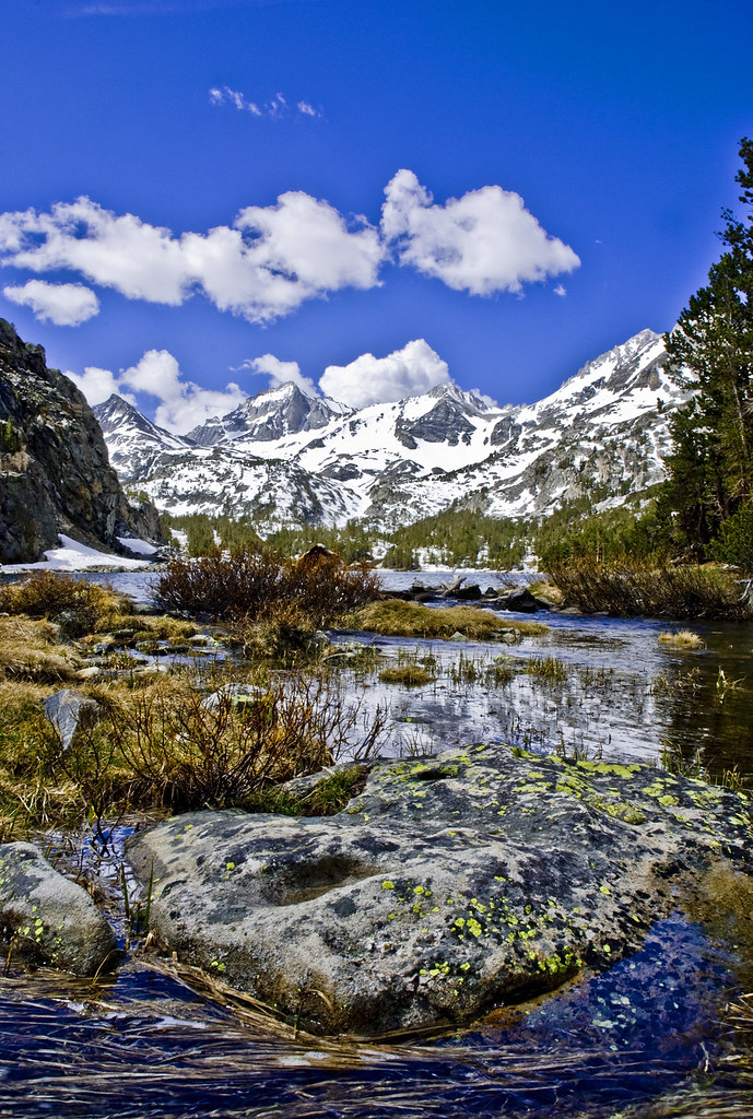
Ruby Lake at 11,000 feet elevation, above the Little Lakes Valley in the Eastern Sierra Mountains (mono63xy)
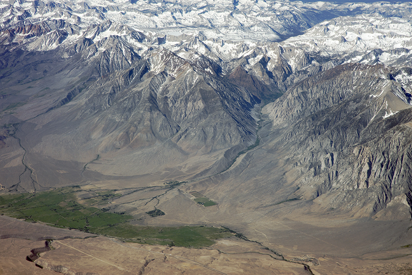
Above Rovana and the Eastern Escarpment of the Sierra Nevada, Inyo County, California
Ruby Lake at 11,000 feet - surrounded by the crest of the Sierra Mountains (mono57xy)
Little Lakes Valley in the High Sierra from the Mono Pass trail near Bishop, CA (mono12xy)
View to the west from McGee Pass, Sierra Nevada, California
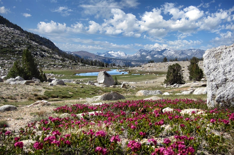
View from Mono Pass - Panorama
Silver Pass View to Seldon Pass - John Muir Trail
Hilton Creek Aspens
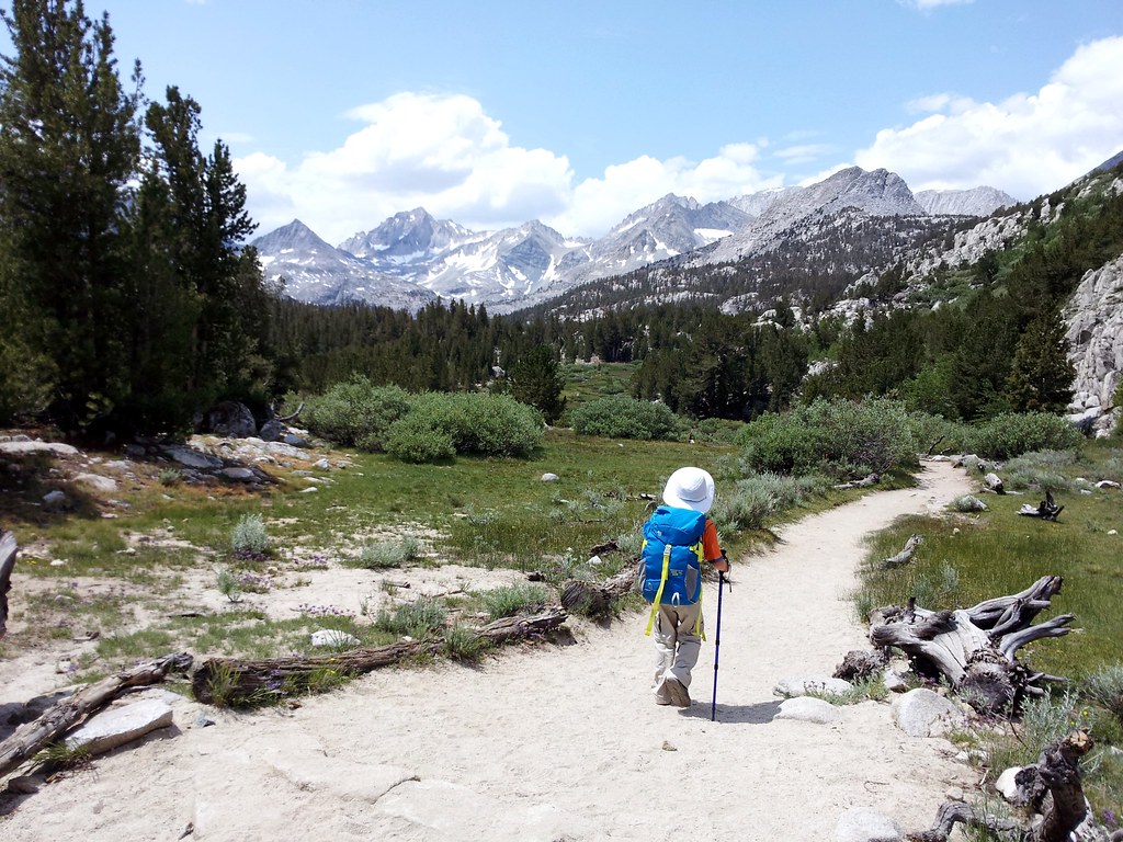
No lake visible, but one of the prettiest views along the trail.
Long Lake, Rock Creek
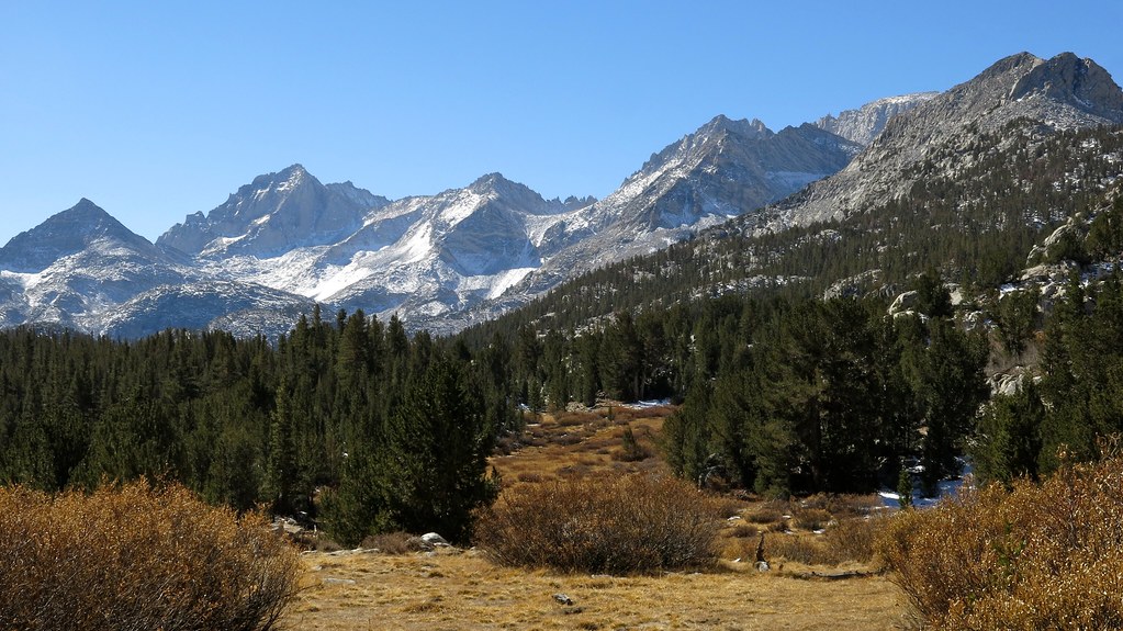
View west from Little Lakes Valley

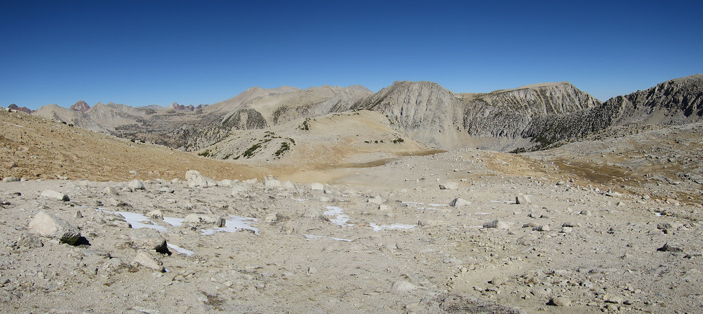
View down into Hopkins Basin
Mud Lake View
upper Rock Creek basin, view south from Ruby Lake trail, Sierra Nevada
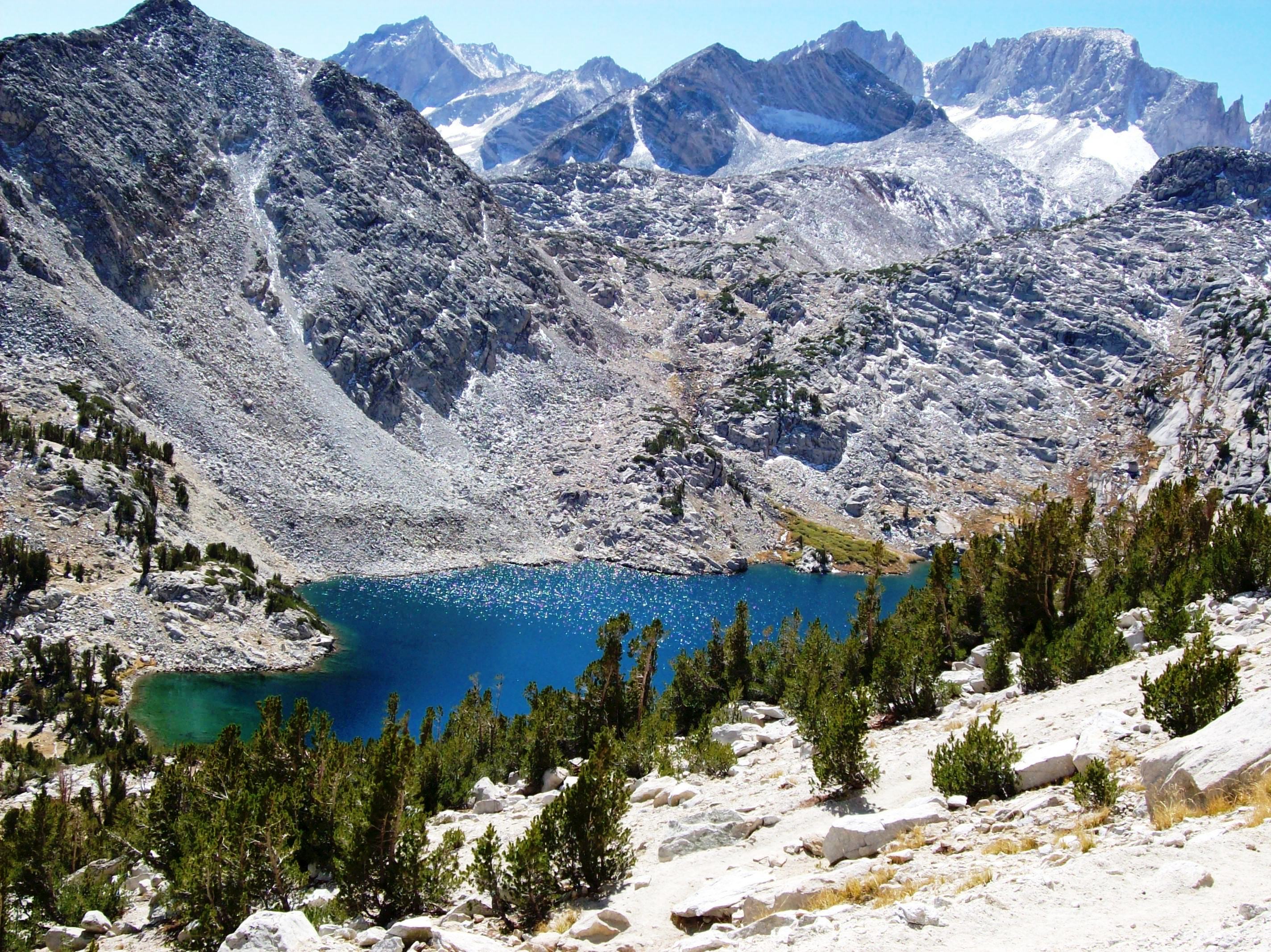
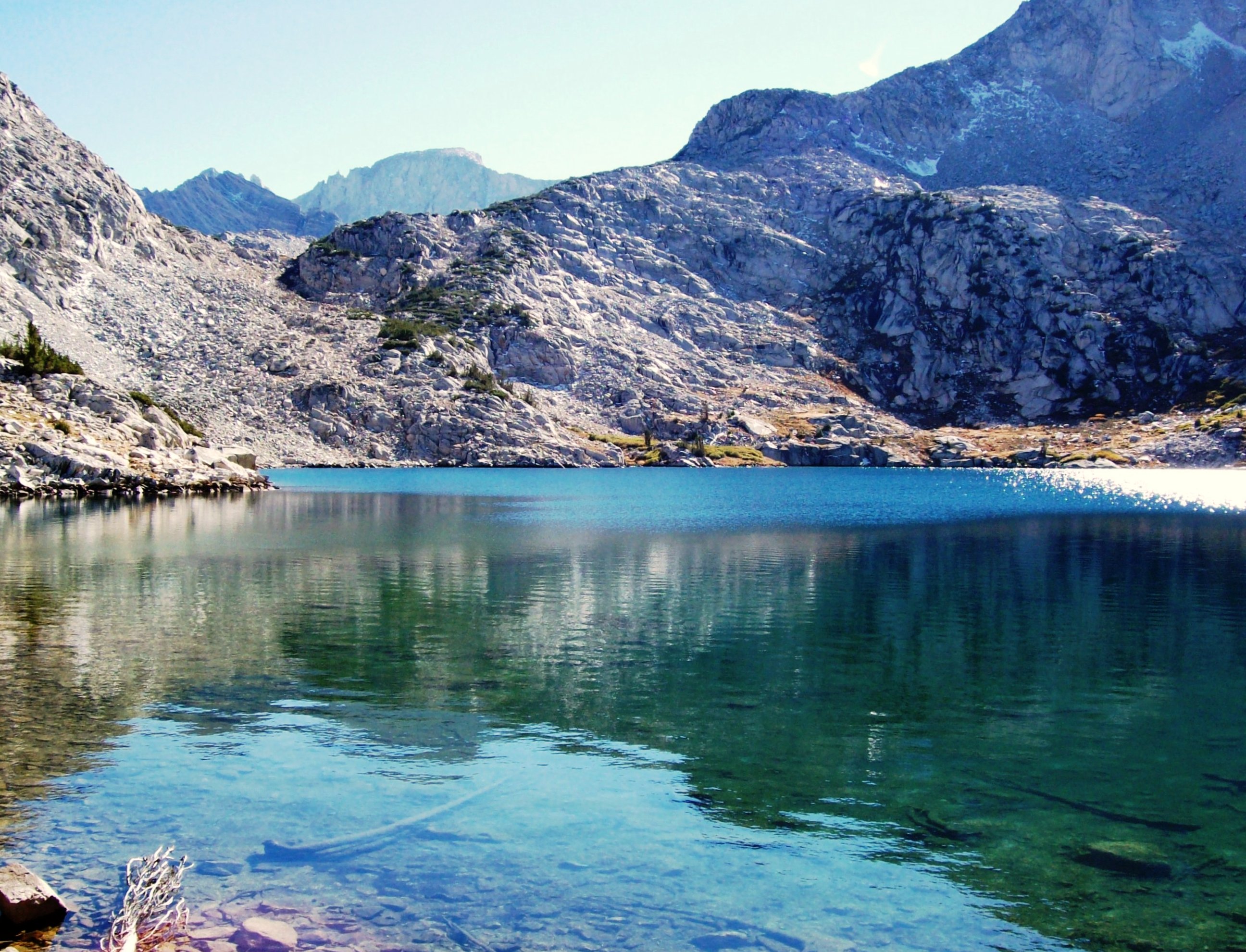
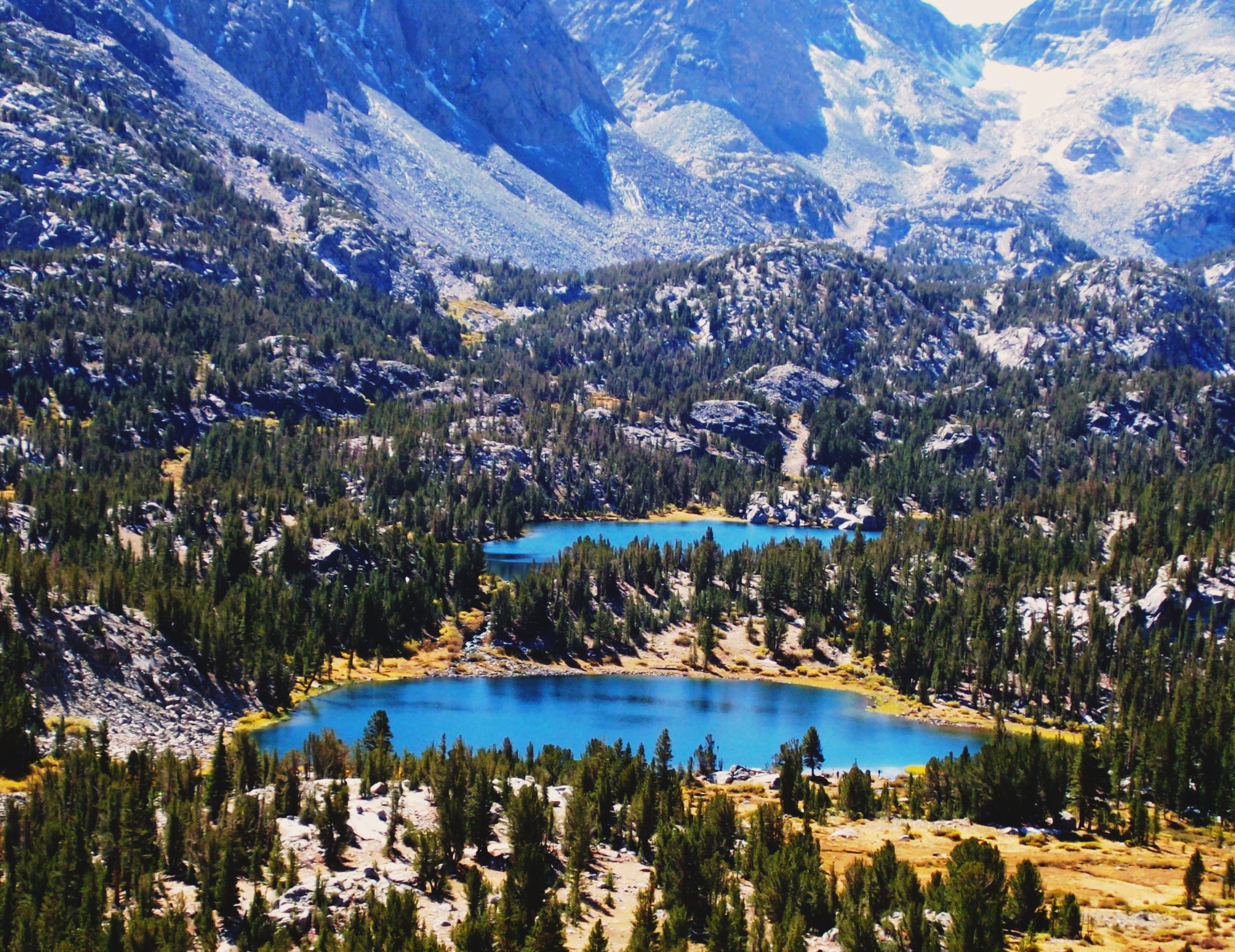
Azure-blue Ruby Lake above Little Lakes Valley, viewed from 11,500 feet, in the Eastern Sierra Mountains (mono24xy)

Rock Creek Lake
Topographic Map of Mount Starr, Mt Starr, California, USA
Find elevation by address:

Places near Mount Starr, Mt Starr, California, USA:
Mosquito Flat
Rock Creek Lake
Mount Morgan
Rock Creek Lakes Resort
Mount Huntington
Bear Creek Spire
Mount Gabb
Mount Crocker
Lake Italy
Recess Peak
Red And White Mountain
Wheeler Crest
Royce Peak
Pine Creek Pass
Mount Izaak Walton
Mount Baldwin
Aspen Spring Ranch Rd, Mammoth Lakes, CA, USA
Seven Gables
Mount Tom
Four Gables
Recent Searches:
- Elevation map of Greenland, Greenland
- Elevation of Sullivan Hill, New York, New York, 10002, USA
- Elevation of Morehead Road, Withrow Downs, Charlotte, Mecklenburg County, North Carolina, 28262, USA
- Elevation of 2800, Morehead Road, Withrow Downs, Charlotte, Mecklenburg County, North Carolina, 28262, USA
- Elevation of Yangbi Yi Autonomous County, Yunnan, China
- Elevation of Pingpo, Yangbi Yi Autonomous County, Yunnan, China
- Elevation of Mount Malong, Pingpo, Yangbi Yi Autonomous County, Yunnan, China
- Elevation map of Yongping County, Yunnan, China
- Elevation of North 8th Street, Palatka, Putnam County, Florida, 32177, USA
- Elevation of 107, Big Apple Road, East Palatka, Putnam County, Florida, 32131, USA
- Elevation of Jiezi, Chongzhou City, Sichuan, China
- Elevation of Chongzhou City, Sichuan, China
- Elevation of Huaiyuan, Chongzhou City, Sichuan, China
- Elevation of Qingxia, Chengdu, Sichuan, China
- Elevation of Corso Fratelli Cairoli, 35, Macerata MC, Italy
- Elevation of Tallevast Rd, Sarasota, FL, USA
- Elevation of 4th St E, Sonoma, CA, USA
- Elevation of Black Hollow Rd, Pennsdale, PA, USA
- Elevation of Oakland Ave, Williamsport, PA, USA
- Elevation of Pedrógão Grande, Portugal