Elevation of Sequoia Dr, Village Mills, TX, USA
Longitude: -94.453929
Latitude: 30.5223427
Elevation: 37m / 121feet
Barometric Pressure: 101KPa
Elevation Map:
Satellite Map:
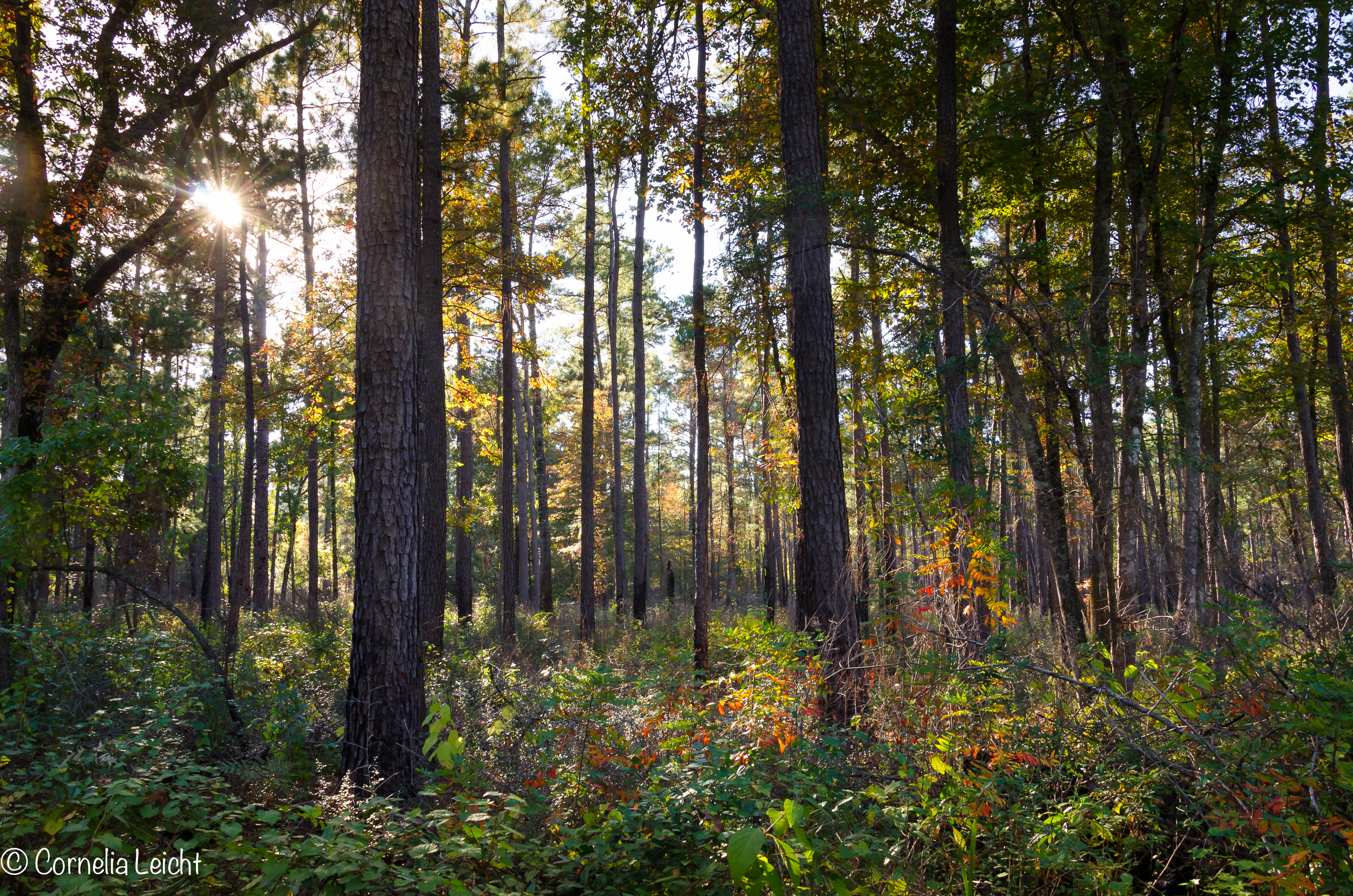
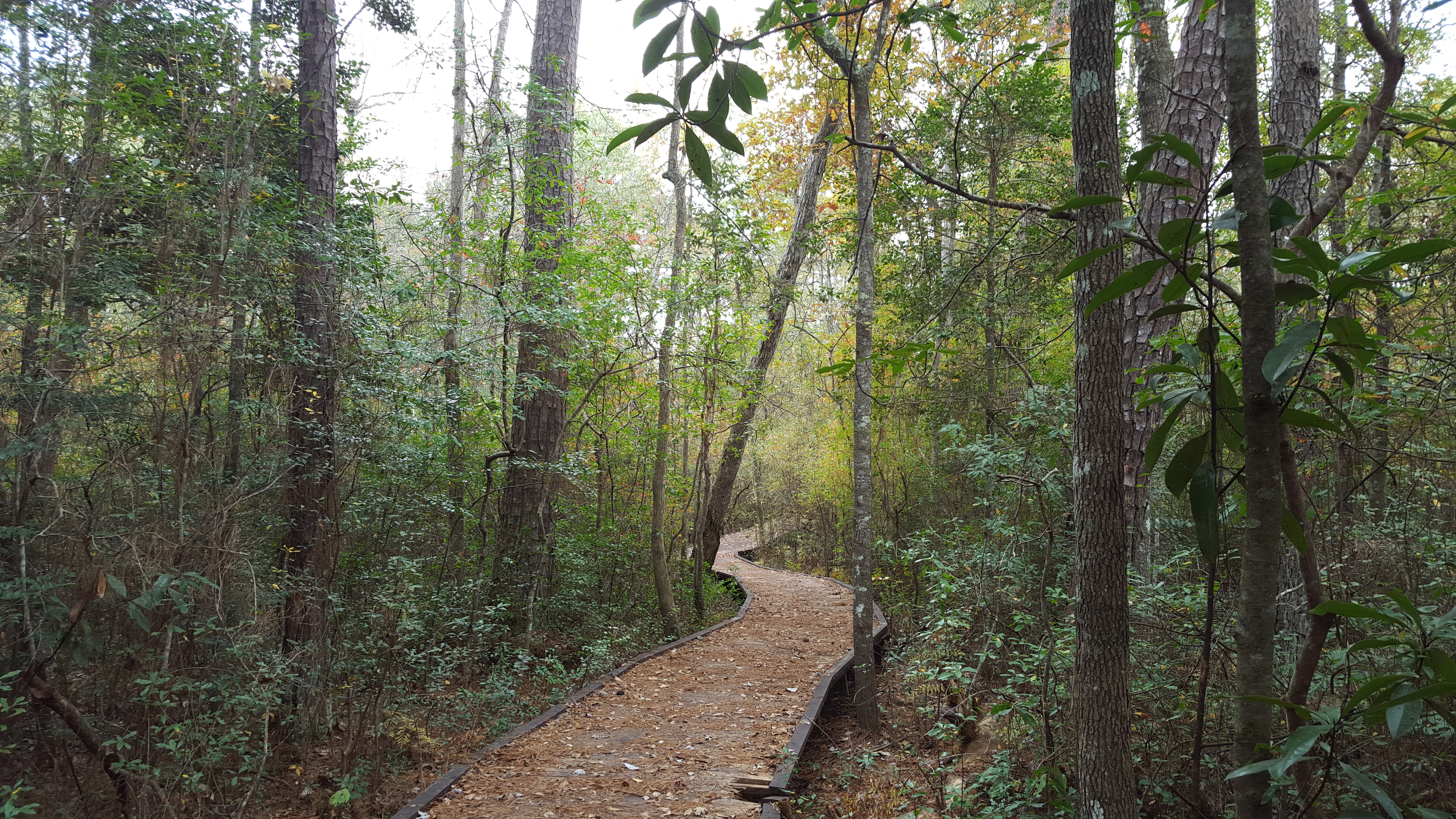
Related Photos:

sittin on the porch II

The simple things in life.....

Sunny side up!

"In the spot light"

outback....

Into the Light
Big Thicket National Preserve

Watson Rare Native Plant Preserve, Warren, Texas

Autumn is coming on

Live Oak

Village Creek

el sendero

Kirby Nature Trail

Life after fire

No Life after fire
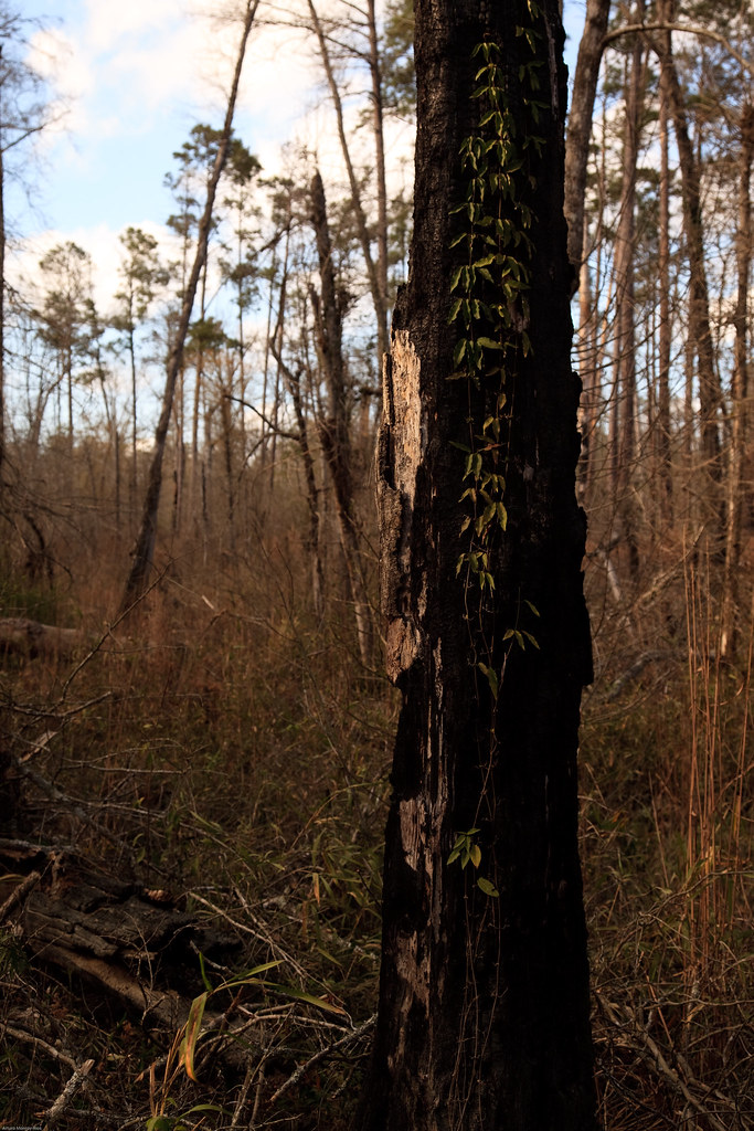
Life after fire
Big Thicket National Preserve

Big Thicket National Preserve

20110205_Big_Thicket_24.jpg

EMBHLU4 125

EMBHLU4 154

EMBHLU4 142

EMBHLU4 156
Topographic Map of Sequoia Dr, Village Mills, TX, USA
Find elevation by address:

Places near Sequoia Dr, Village Mills, TX, USA:
108 Heatherwood
222 Dogwood
424 County Rd 1860
Village Mills
US-69, Warren, TX, USA
Warren
445 Co Rd 4473
Big Thicket National Preserve
FM, Kountze, TX, USA
7470 Fm1293
7535 Mcneely Rd
Hillister
205 Sir Ewaine Dr
325 Sir Ewaine Dr
325 Sir Ewaine Dr
325 Sir Ewaine Dr
225 14th St
8th Street
Kountze
325 Deerwood Dr
Recent Searches:
- Elevation of Congressional Dr, Stevensville, MD, USA
- Elevation of Bellview Rd, McLean, VA, USA
- Elevation of Stage Island Rd, Chatham, MA, USA
- Elevation of Shibuya Scramble Crossing, 21 Udagawacho, Shibuya City, Tokyo -, Japan
- Elevation of Jadagoniai, Kaunas District Municipality, Lithuania
- Elevation of Pagonija rock, Kranto 7-oji g. 8"N, Kaunas, Lithuania
- Elevation of Co Rd 87, Jamestown, CO, USA
- Elevation of Tenjo, Cundinamarca, Colombia
- Elevation of Côte-des-Neiges, Montreal, QC H4A 3J6, Canada
- Elevation of Bobcat Dr, Helena, MT, USA