Elevation of Co Rd, Warren, TX, USA
Location: United States > Texas > Tyler County > Warren >
Longitude: -94.404809
Latitude: 30.6195124
Elevation: 51m / 167feet
Barometric Pressure: 101KPa
Elevation Map:
Satellite Map:
Related Photos:

Shadows in a hay field

Live Oak
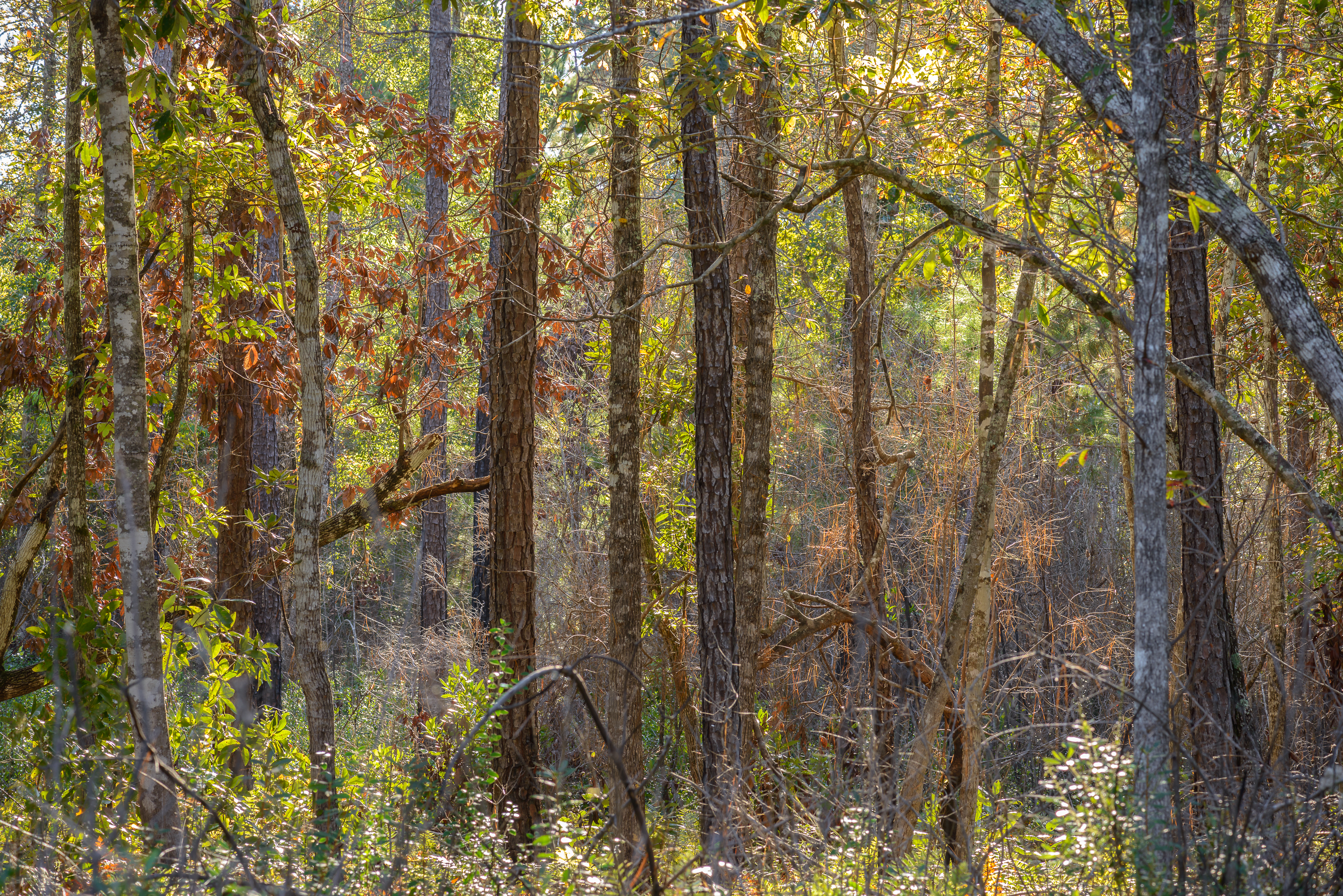
Autumn is coming on
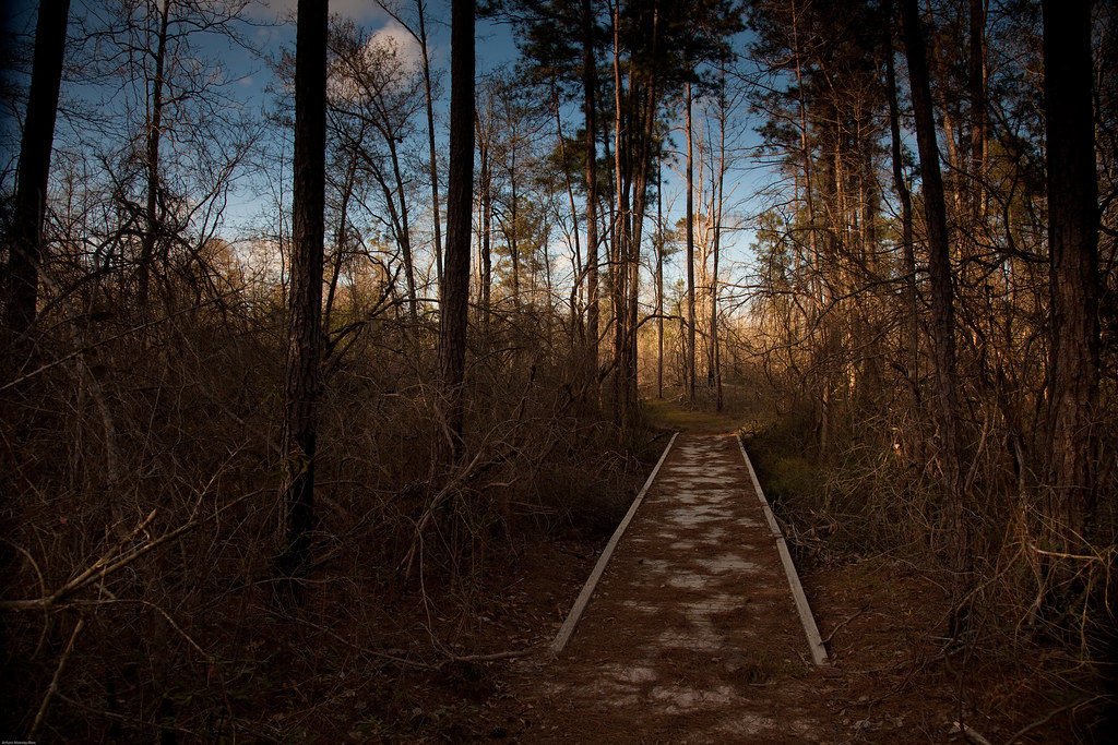
el sendero
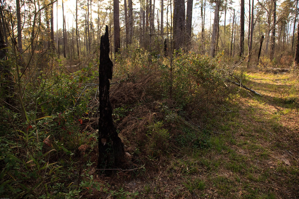
Life after fire

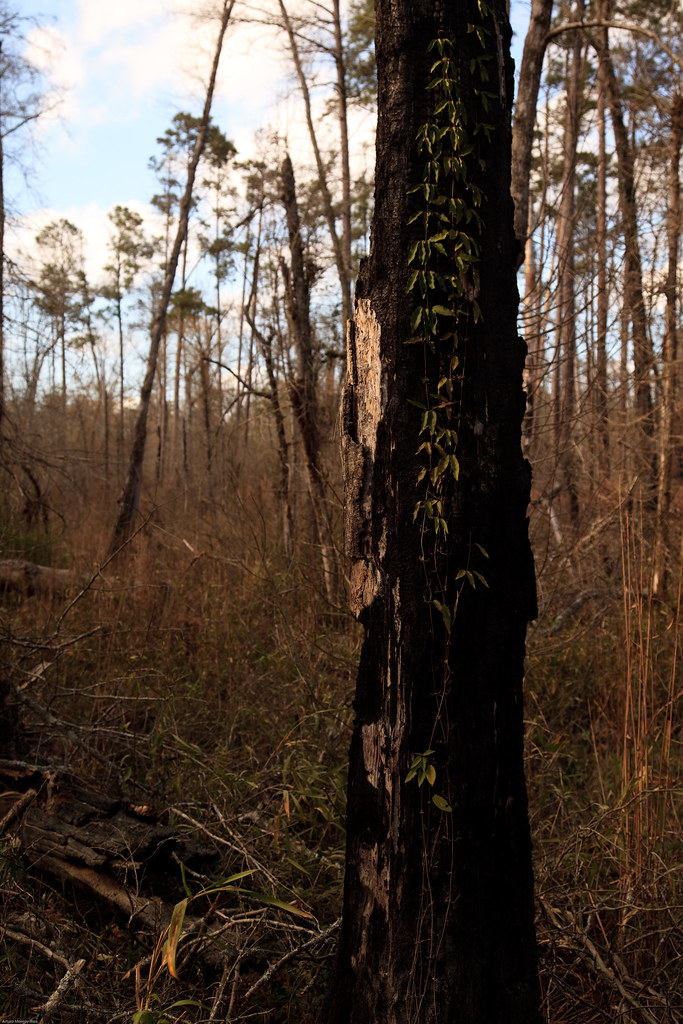
No Life after fire
Life after fire
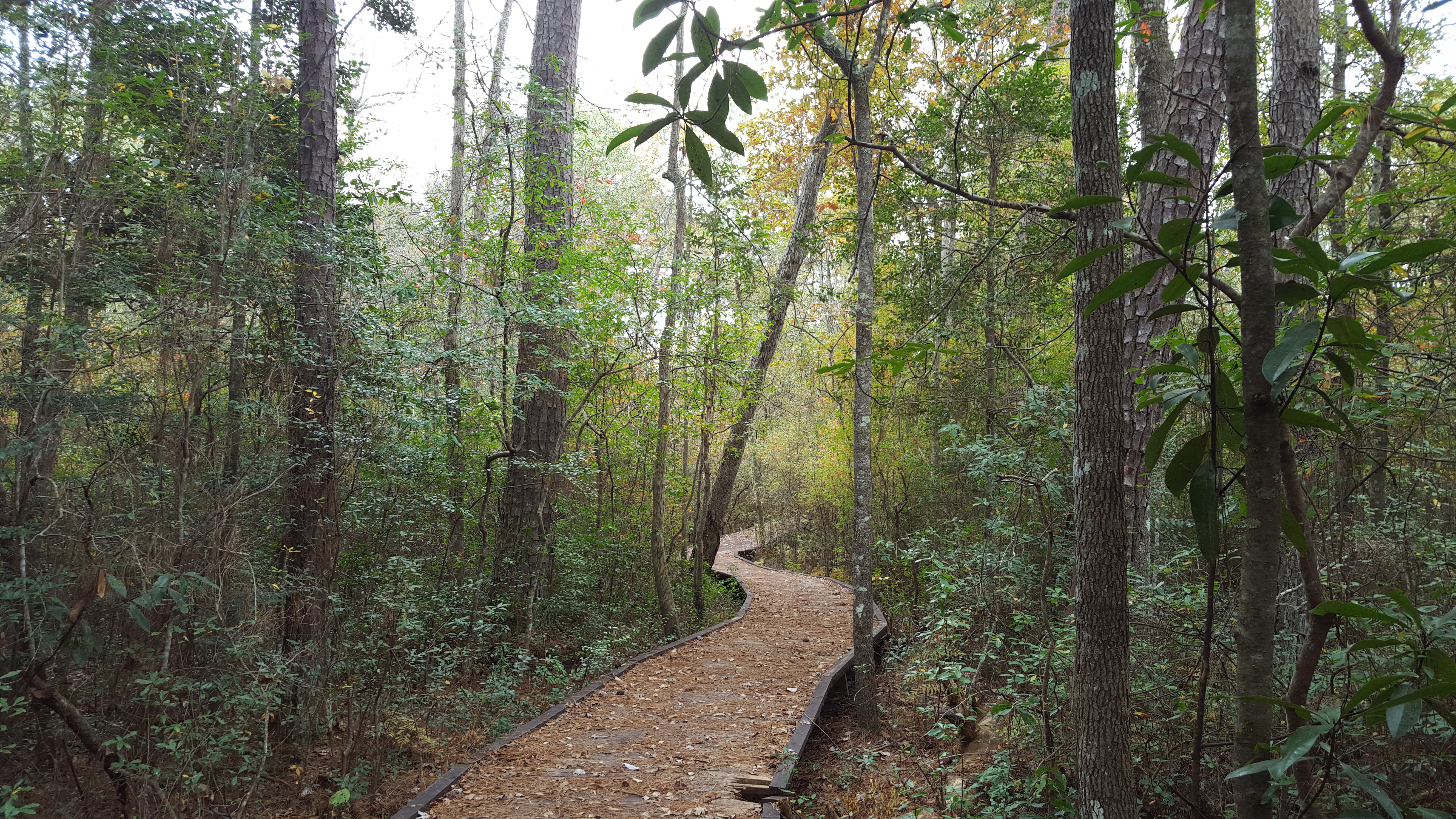
Big Thicket National Preserve

Hay field
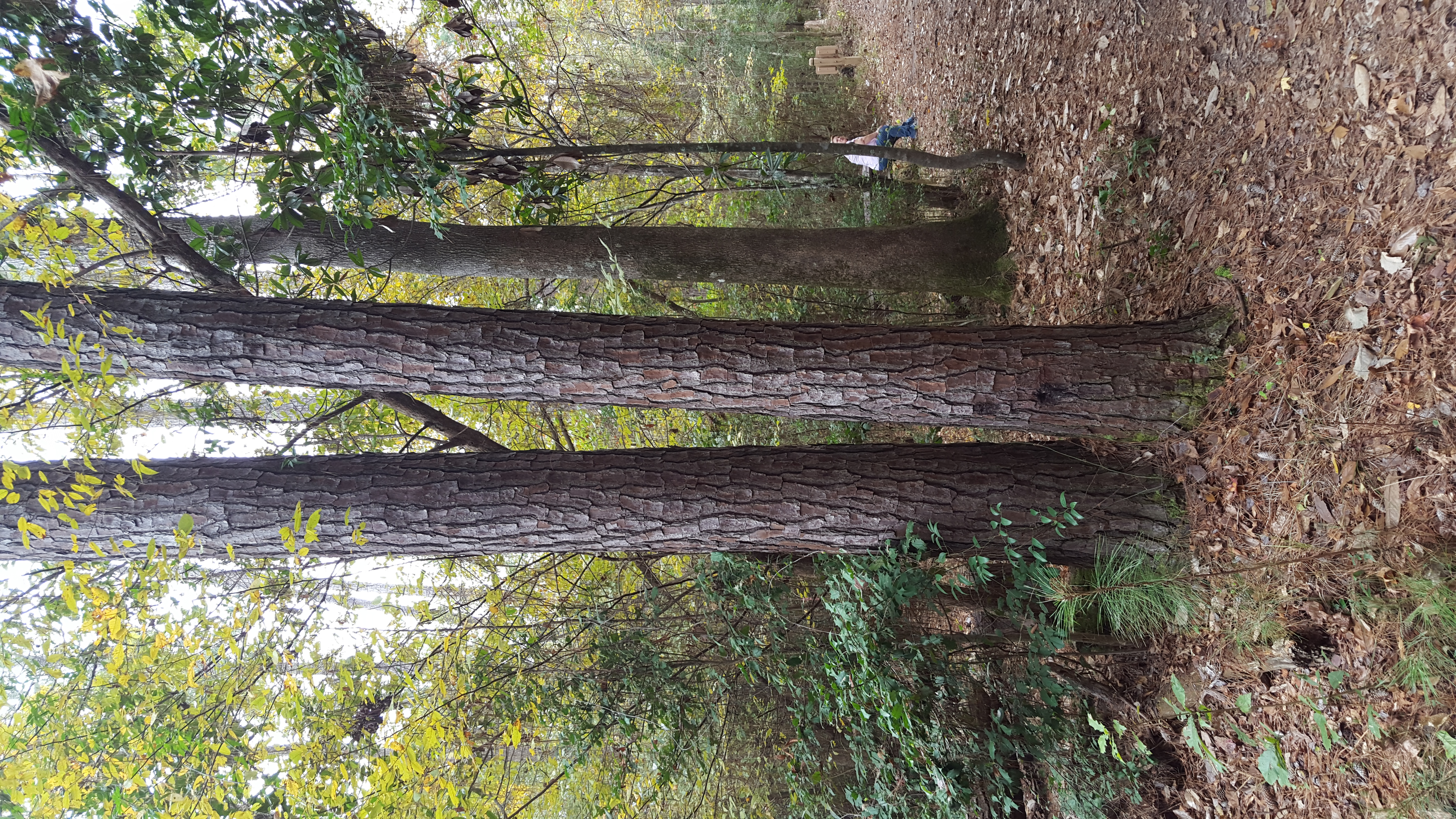
Big Thicket National Preserve

Hay field

Late afternoon
Topographic Map of Co Rd, Warren, TX, USA
Find elevation by address:

Places near Co Rd, Warren, TX, USA:
Warren
US-69, Warren, TX, USA
Hillister
205 Sir Ewaine Dr
325 Sir Ewaine Dr
325 Sir Ewaine Dr
325 Sir Ewaine Dr
225 14th St
8th Street
424 County Rd 1860
222 Dogwood
108 Heatherwood
316 Sequoia Dr
325 Deerwood Dr
Village Mills
Tyler County
408 M.l.k.
Woodville
Big Thicket National Preserve
7535 Mcneely Rd
Recent Searches:
- Elevation of Congressional Dr, Stevensville, MD, USA
- Elevation of Bellview Rd, McLean, VA, USA
- Elevation of Stage Island Rd, Chatham, MA, USA
- Elevation of Shibuya Scramble Crossing, 21 Udagawacho, Shibuya City, Tokyo -, Japan
- Elevation of Jadagoniai, Kaunas District Municipality, Lithuania
- Elevation of Pagonija rock, Kranto 7-oji g. 8"N, Kaunas, Lithuania
- Elevation of Co Rd 87, Jamestown, CO, USA
- Elevation of Tenjo, Cundinamarca, Colombia
- Elevation of Côte-des-Neiges, Montreal, QC H4A 3J6, Canada
- Elevation of Bobcat Dr, Helena, MT, USA