Elevation of Sebring, PA, USA
Location: United States > Pennsylvania > Tioga County > Liberty Township >
Longitude: -77.109970
Latitude: 41.5950739
Elevation: 575m / 1886feet
Barometric Pressure: 95KPa
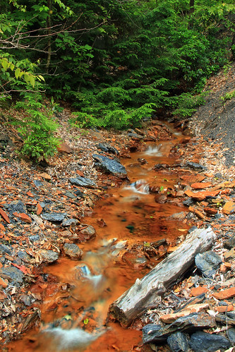
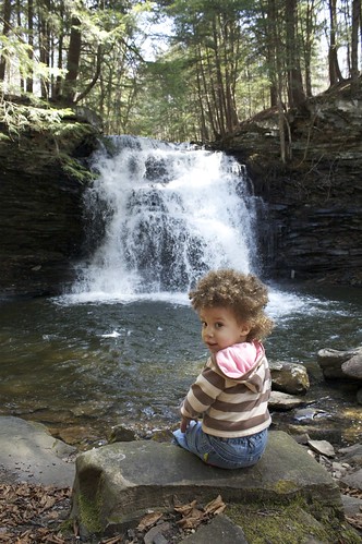
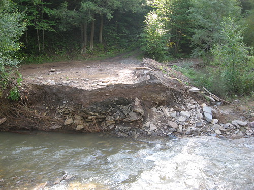
Related Photos:
Topographic Map of Sebring, PA, USA
Find elevation by address:

Places in Sebring, PA, USA:
Places near Sebring, PA, USA:
Liberty Township
Urban Road
Urban Road
Liberty
102 Bleeker St
Blossburg
Hamilton
1908 Nauvoo Rd
Morris Run
1037 Vista Ln
Covington Township
3944 Arnot Rd
Fry Bros Turkey Ranch Restaurant
Mcintyre Township
1992 N Williamson Rd
318 Pine Hill Rd
Cherry Flats Rd, Covington, PA, USA
Covington
Roaring Branch
Mack Rd, Covington, PA, USA
Recent Searches:
- Elevation of Crystal Cir, Birmingham, AL, USA
- Elevation of N Railroad Ave, West Palm Beach, FL, USA
- Elevation of 55 Cassick Valley Rd, Wellfleet, MA, USA
- Elevation of Ironwood Dr, Minden, NV, USA
- Elevation of 高尾山口駅, Takaomachi, Hachioji, Tokyo -, Japan
- Elevation of 15 Victory Ave, Greenville, SC, USA
- Elevation of Kota Ternate Utara, Ternate City, North Maluku, Indonesia
- Elevation of Allon St, Oceanside, NY, USA
- Elevation of Carroll Creek Rd, Custer, SD, USA
- Elevation of Lust Road, Lust Rd, Florida, USA


