Elevation of Pine Hill Rd, Roaring Branch, PA, USA
Location: United States > Pennsylvania > Tioga County > Union Township >
Longitude: -76.964077
Latitude: 41.5653713
Elevation: 441m / 1447feet
Barometric Pressure: 96KPa
Elevation Map:
Satellite Map:
Related Photos:

Brown Road Vista
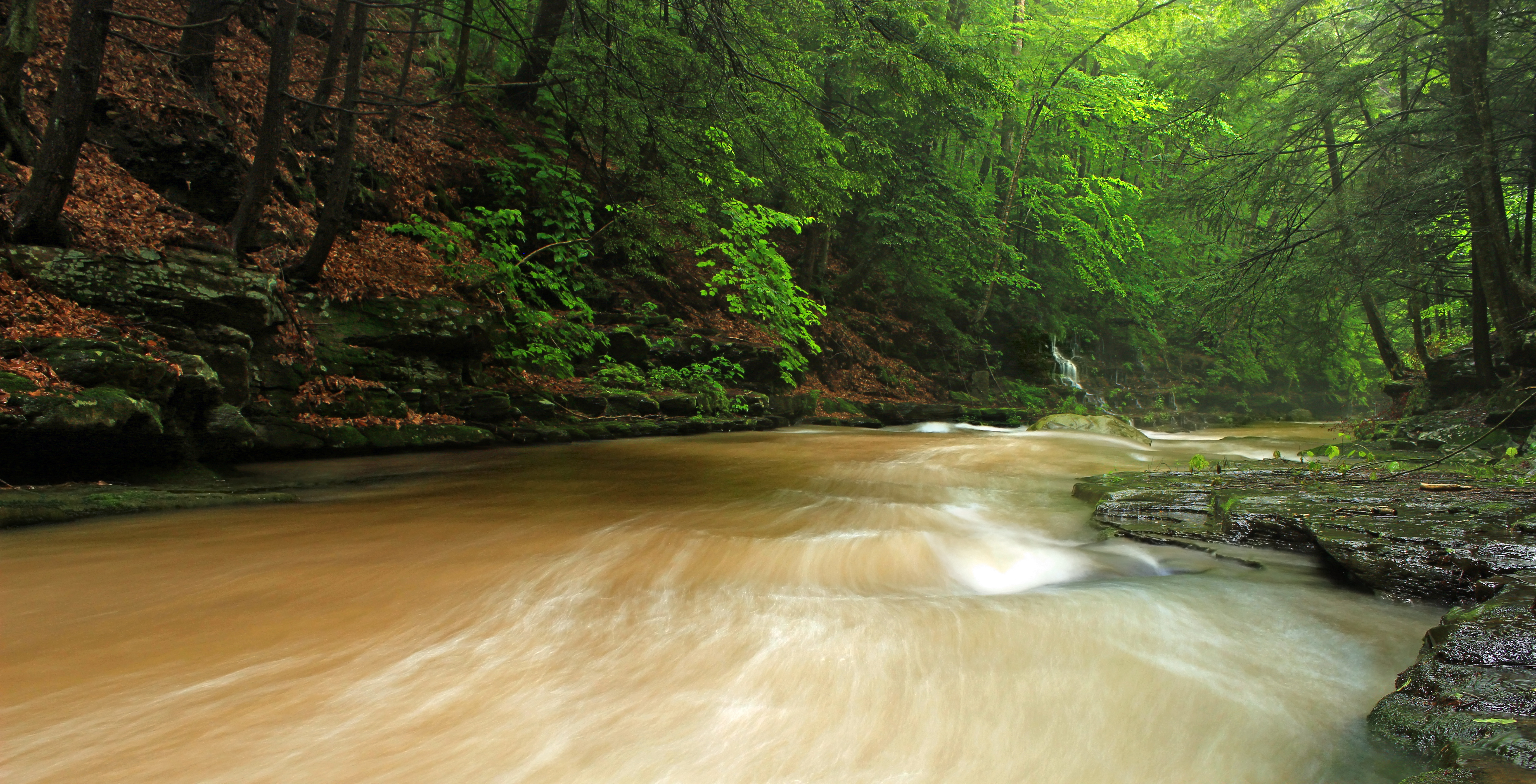
Upper Rock Run Gorge (3)
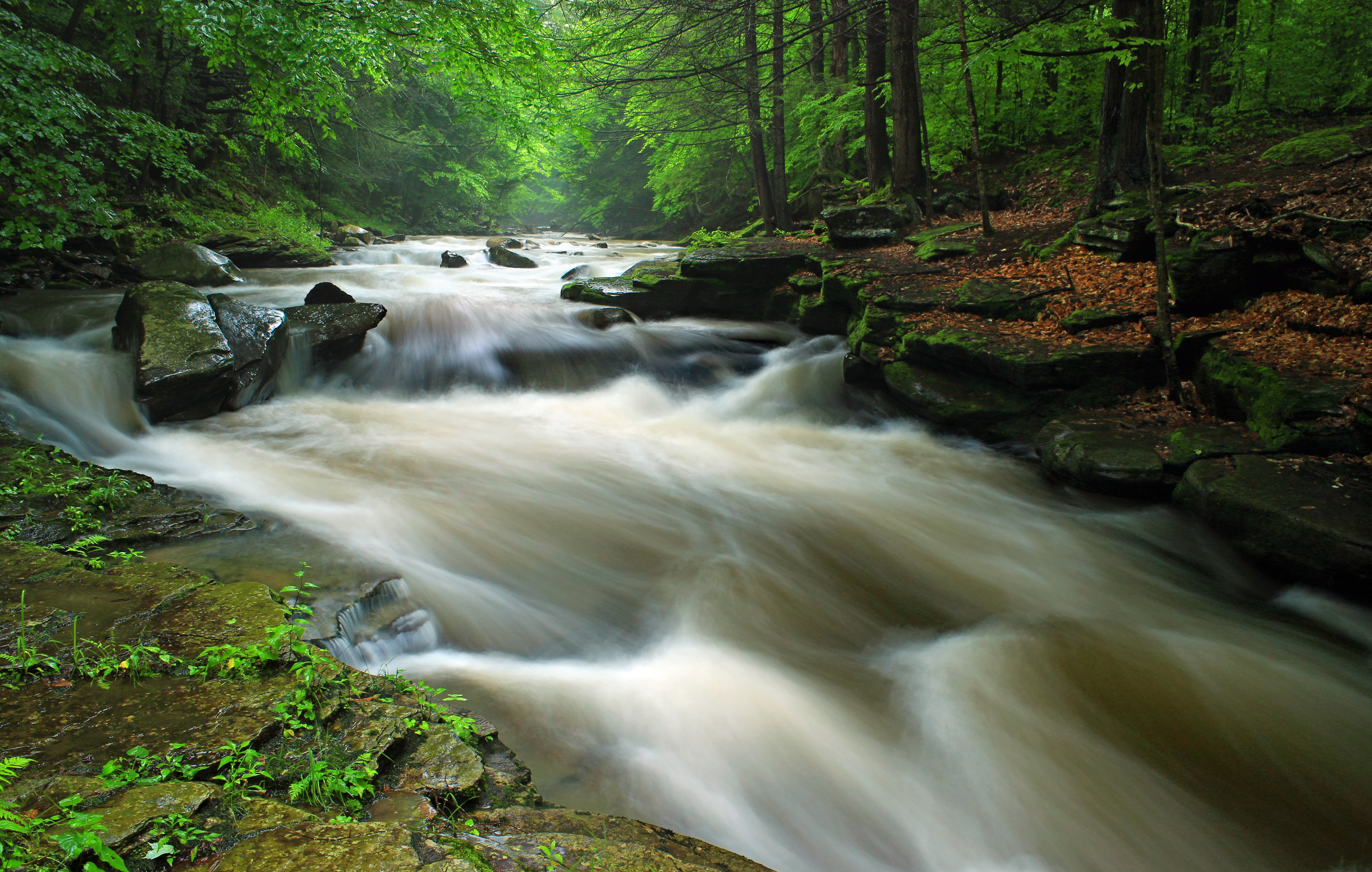
Upper Rock Run Gorge (1)

Upper Rock Run Gorge (5)
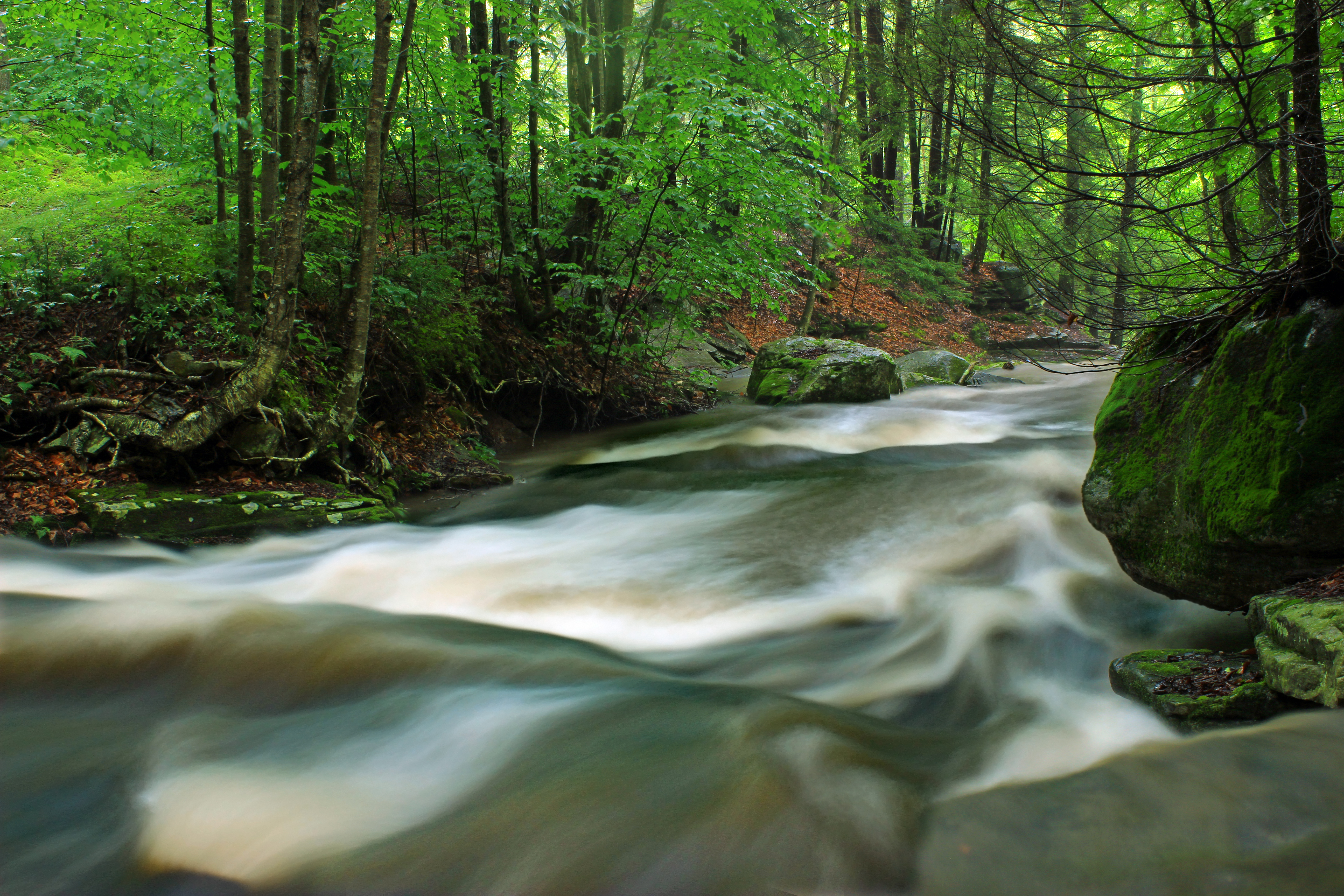
Upper Rock Run Gorge (2)

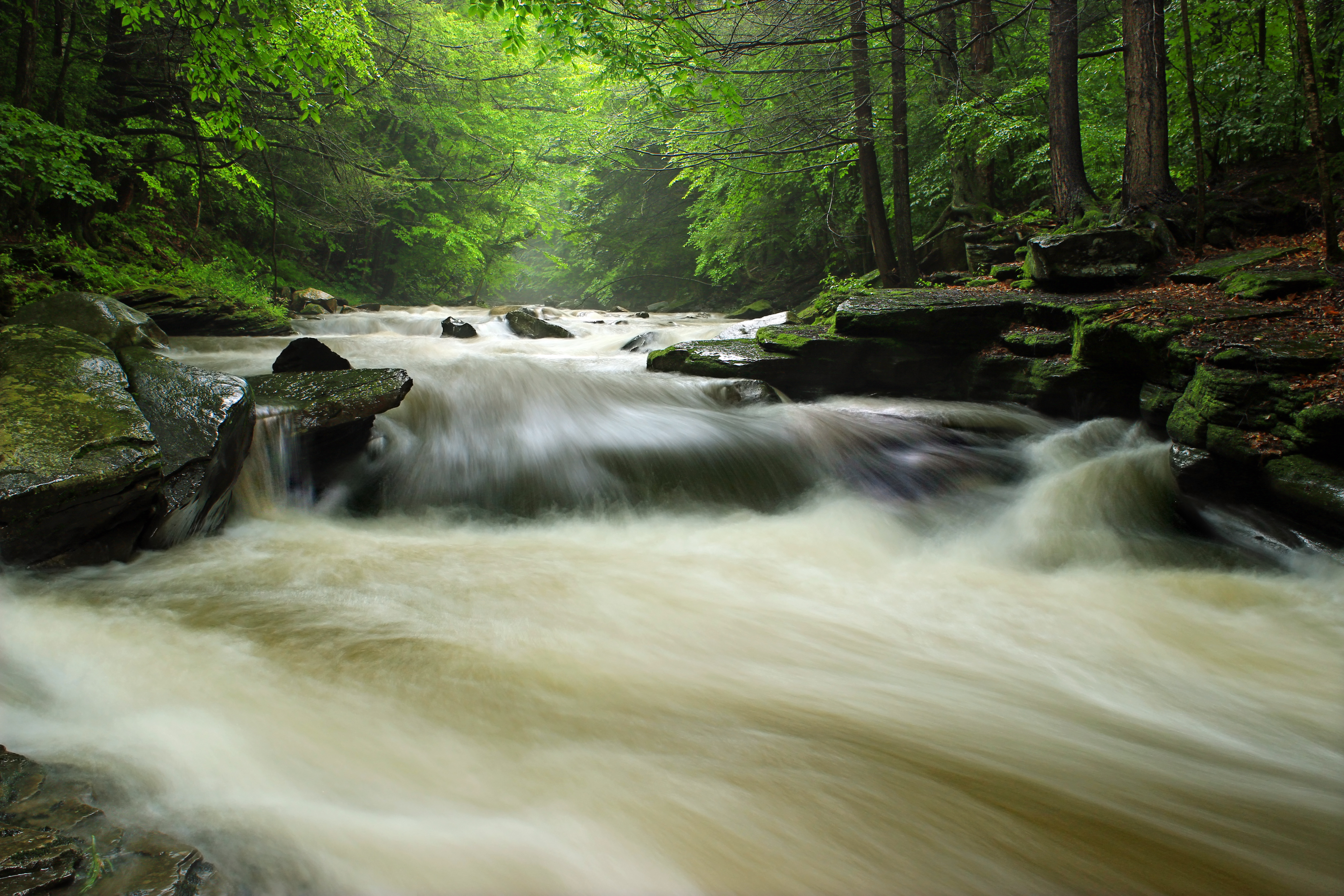
Upper Rock Run Gorge (4)
Upper Rock Run Gorge (6)

Blossburg 30 May 10 010

A Farm in Winter

Sugarcamp Mountain (17)

Sugarcamp Mountain (4)

Sunrise Over Lake Canton
Sugarcamp Mountain (2)

Sugarcamp Mountain (1)

The Passage of Time

Sugarcamp Mountain (11)

Dutchman Run (1)

Hawk Run (1)

Acid Mine Contamination (1)

Reflected (3)

All My Memories, Neat Little Rows

Reflected (2)

My Childhood Home
Topographic Map of Pine Hill Rd, Roaring Branch, PA, USA
Find elevation by address:

Places near Pine Hill Rd, Roaring Branch, PA, USA:
Roaring Branch
PA-14, Roaring Branch, PA, USA
100 Dustin Ln
Mcintyre Township
Union Township
Gleason Rd, Canton, PA, USA
5972 Pa-14
Main St, Canton, PA, USA
PA-14, Canton, PA, USA
Canton Township
Mcnett Township
First Citizens Community Bank
Canton
Troy St, Canton, PA, USA
85 N Minnequa Ave
3002 Pa-154
27 Sr, Canton, PA, USA
PA-, Shunk, PA, USA
Canton, PA, USA
Sr, Shunk, PA, USA
Recent Searches:
- Elevation of Beall Road, Beall Rd, Florida, USA
- Elevation of Leguwa, Nepal
- Elevation of County Rd, Enterprise, AL, USA
- Elevation of Kolchuginsky District, Vladimir Oblast, Russia
- Elevation of Shustino, Vladimir Oblast, Russia
- Elevation of Lampiasi St, Sarasota, FL, USA
- Elevation of Elwyn Dr, Roanoke Rapids, NC, USA
- Elevation of Congressional Dr, Stevensville, MD, USA
- Elevation of Bellview Rd, McLean, VA, USA
- Elevation of Stage Island Rd, Chatham, MA, USA