Elevation of Sebero Rd, Porterfield, WI, USA
Location: United States > Wisconsin > Marinette County > Porterfield > Porterfield >
Longitude: -87.758591
Latitude: 45.252323
Elevation: 212m / 696feet
Barometric Pressure: 99KPa
Elevation Map:
Satellite Map:
Related Photos:

"Clouds Over The Menominee"

Not how you expect a zoo to look

07-19-2013 Ride Twin Island Park, WI

Paddling Darkness

Labor Day Lake Mary 2011

Evening Bite

Late fall sunset

Nature Trail

07-19-2013 Ride Twin Island Park, WI

Fishing on the Menominee River

06-10-2016 Ride Rustic Road R44
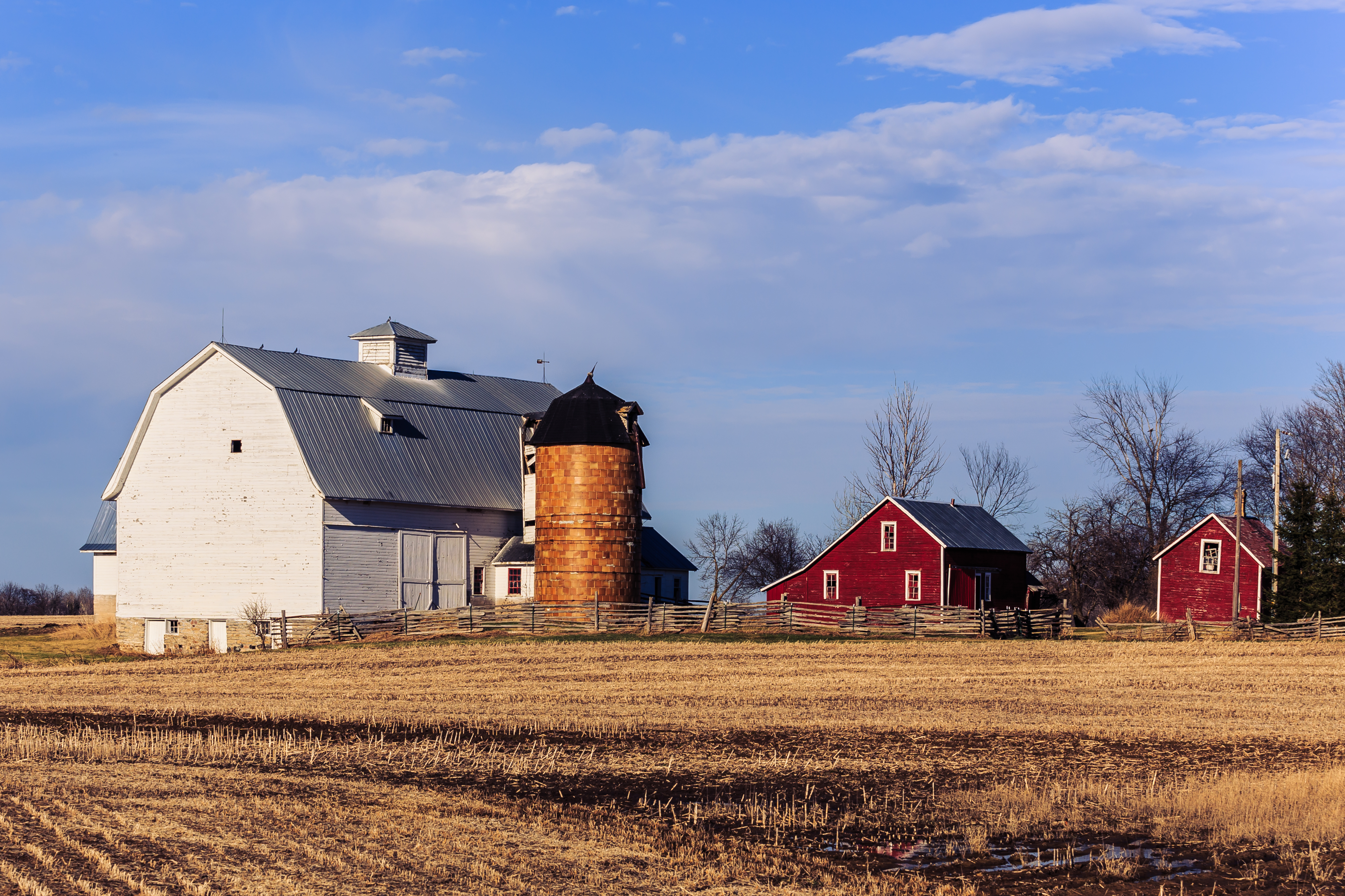
Walsh Farm
Topographic Map of Sebero Rd, Porterfield, WI, USA
Find elevation by address:

Places near Sebero Rd, Porterfield, WI, USA:
Phillips Rd, Wausaukee, WI, USA
Wagner
Porterfield
Co Rd G, Porterfield, WI, USA
Rowe Rd, Porterfield, WI, USA
Porterfield
Bagley Rd, Marinette, WI, USA
N10533 Forest Rd
Co Rd JJ, Wausaukee, WI, USA
Loomis Rd, Porterfield, WI, USA
Lake
Wallace
W5528 Powers Rd
Peshtigo
French St, Peshtigo, WI, USA
Marinette
909 Wells St
Grover
1440 Mary St
Stephenson
Recent Searches:
- Elevation of SW 57th Ave, Portland, OR, USA
- Elevation of Crocker Dr, Vacaville, CA, USA
- Elevation of Pu Ngaol Community Meeting Hall, HWHM+3X7, Krong Saen Monourom, Cambodia
- Elevation of Royal Ontario Museum, Queens Park, Toronto, ON M5S 2C6, Canada
- Elevation of Groblershoop, South Africa
- Elevation of Power Generation Enterprises | Industrial Diesel Generators, Oak Ave, Canyon Country, CA, USA
- Elevation of Chesaw Rd, Oroville, WA, USA
- Elevation of N, Mt Pleasant, UT, USA
- Elevation of 6 Rue Jules Ferry, Beausoleil, France
- Elevation of Sattva Horizon, 4JC6+G9P, Vinayak Nagar, Kattigenahalli, Bengaluru, Karnataka, India