Elevation of N Forest Rd, Wausaukee, WI, USA
Location: United States > Wisconsin > Marinette County > Wausaukee > Wausaukee >
Longitude: -87.838109
Latitude: 45.3373023
Elevation: 228m / 748feet
Barometric Pressure: 99KPa
Elevation Map:
Satellite Map:
Related Photos:

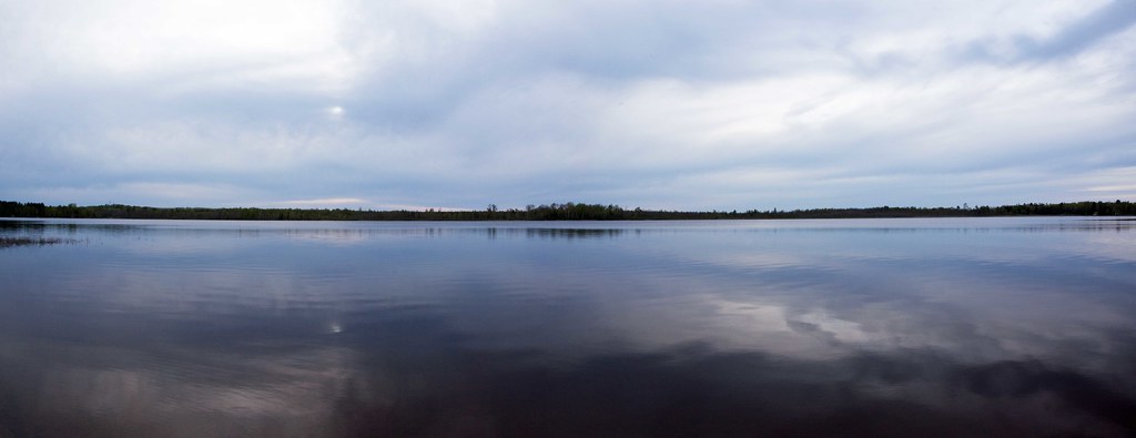
River's bend panorama
Morning Near Beaver, Wisconsin

"Clouds Over The Menominee"

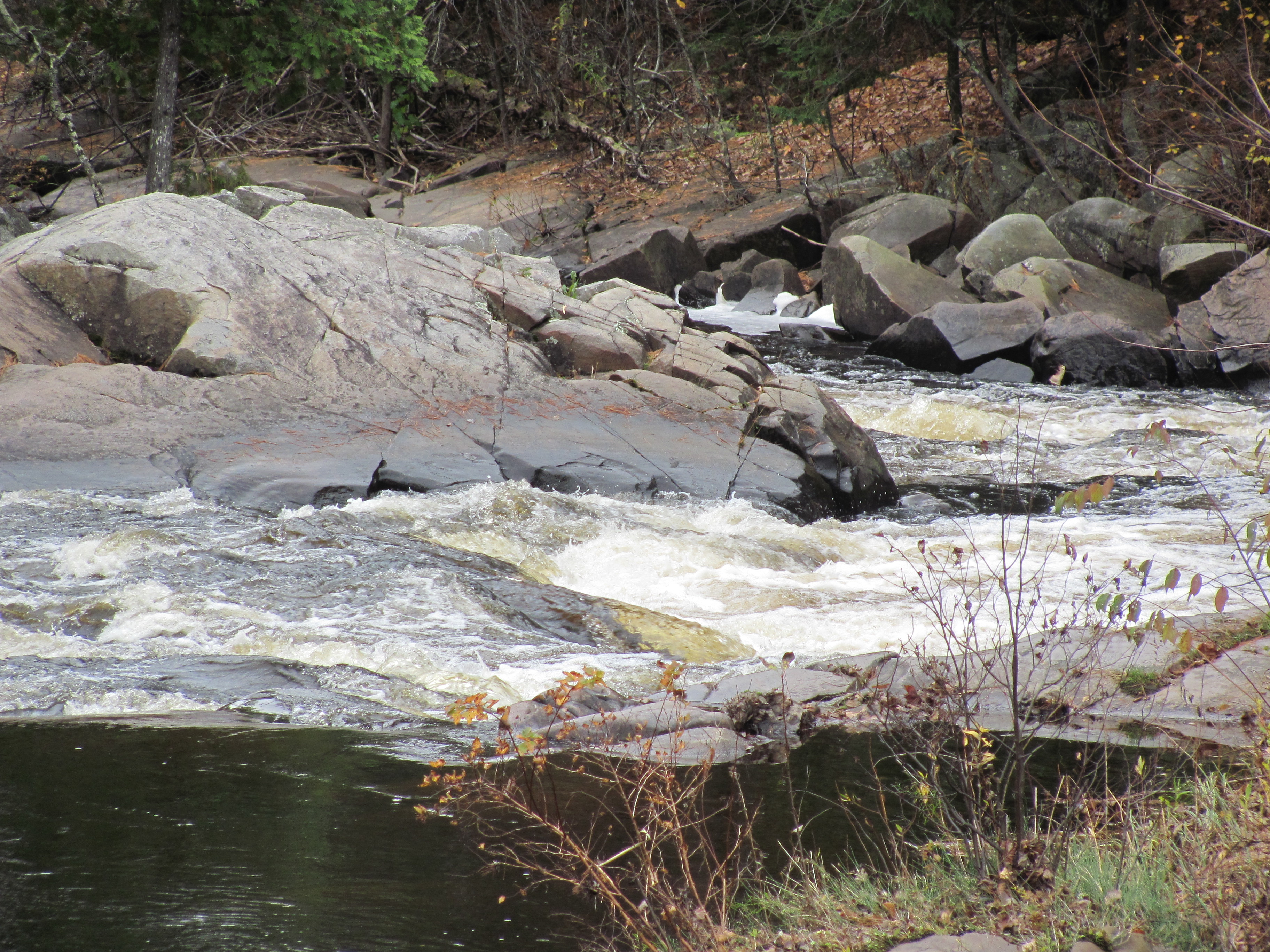
1. Holmes Creek Road Rapids

Northern Rays
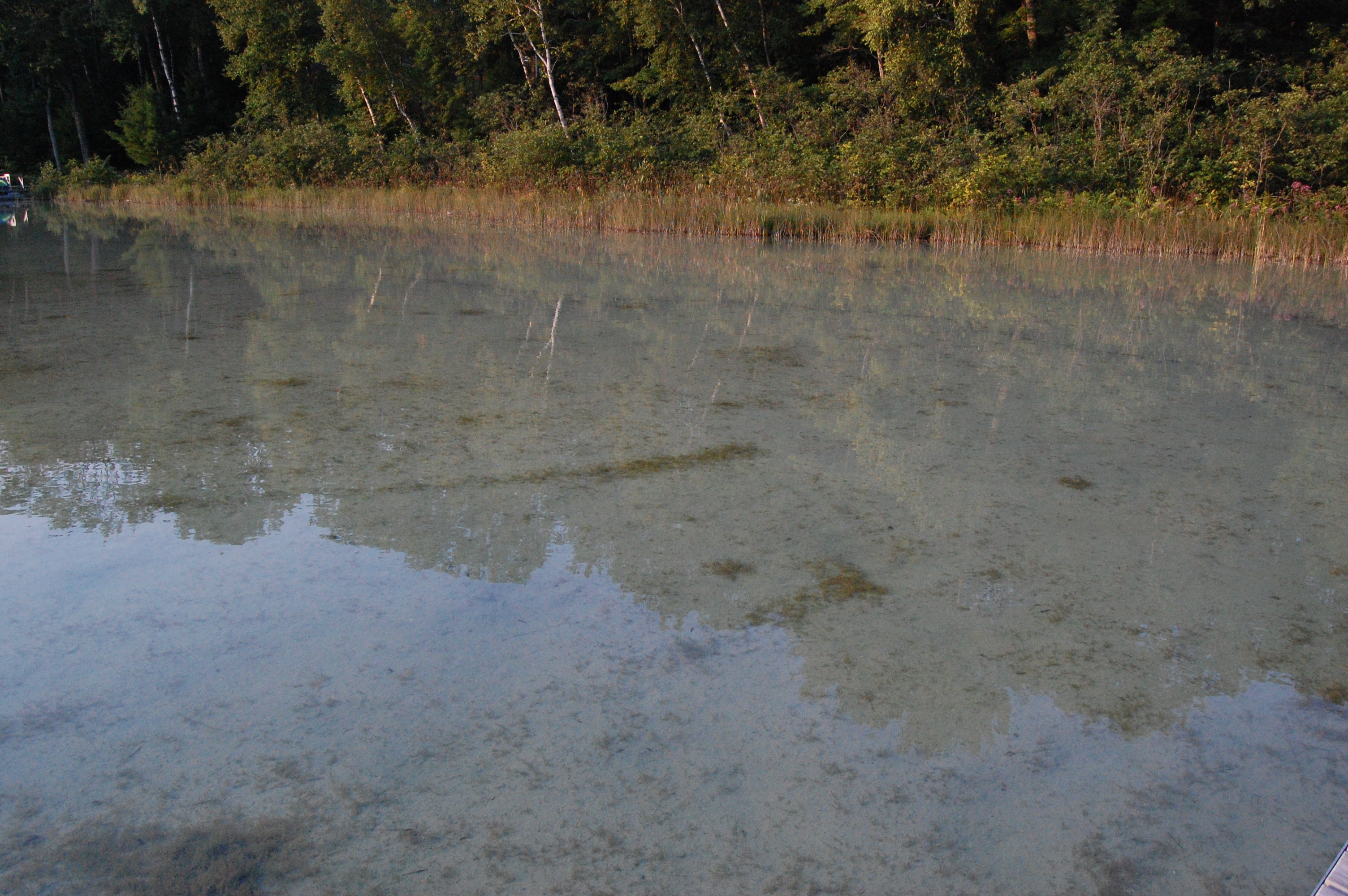
Reflections on Lake Noquebay, Wisconsin
WI Trip (133)
WI Trip (285)
Not how you expect a zoo to look

07-19-2013 Ride Twin Island Park, WI
Fly By

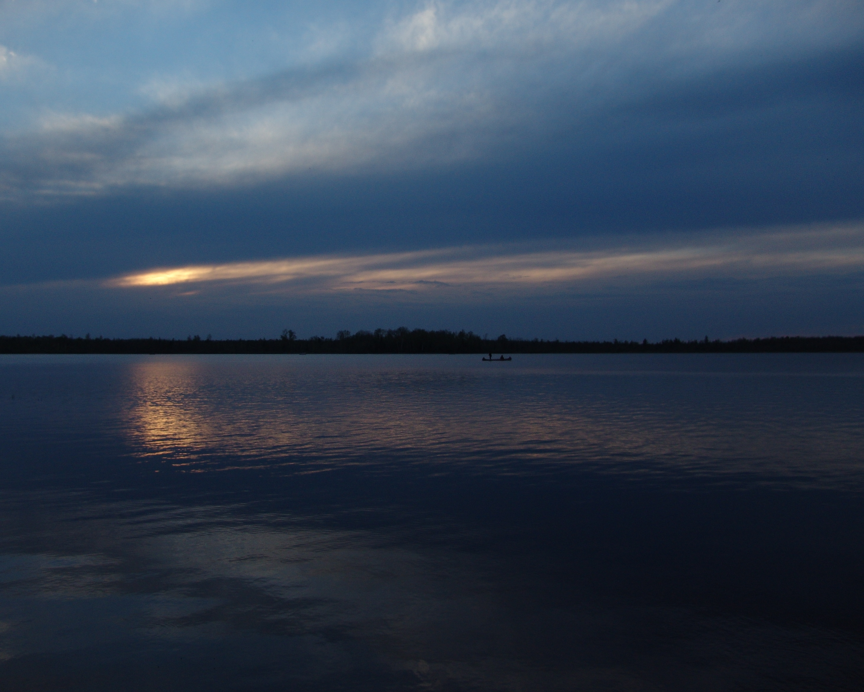
Paddling Darkness
Labor Day Lake Mary 2011
Northern Wisconsin Dawn
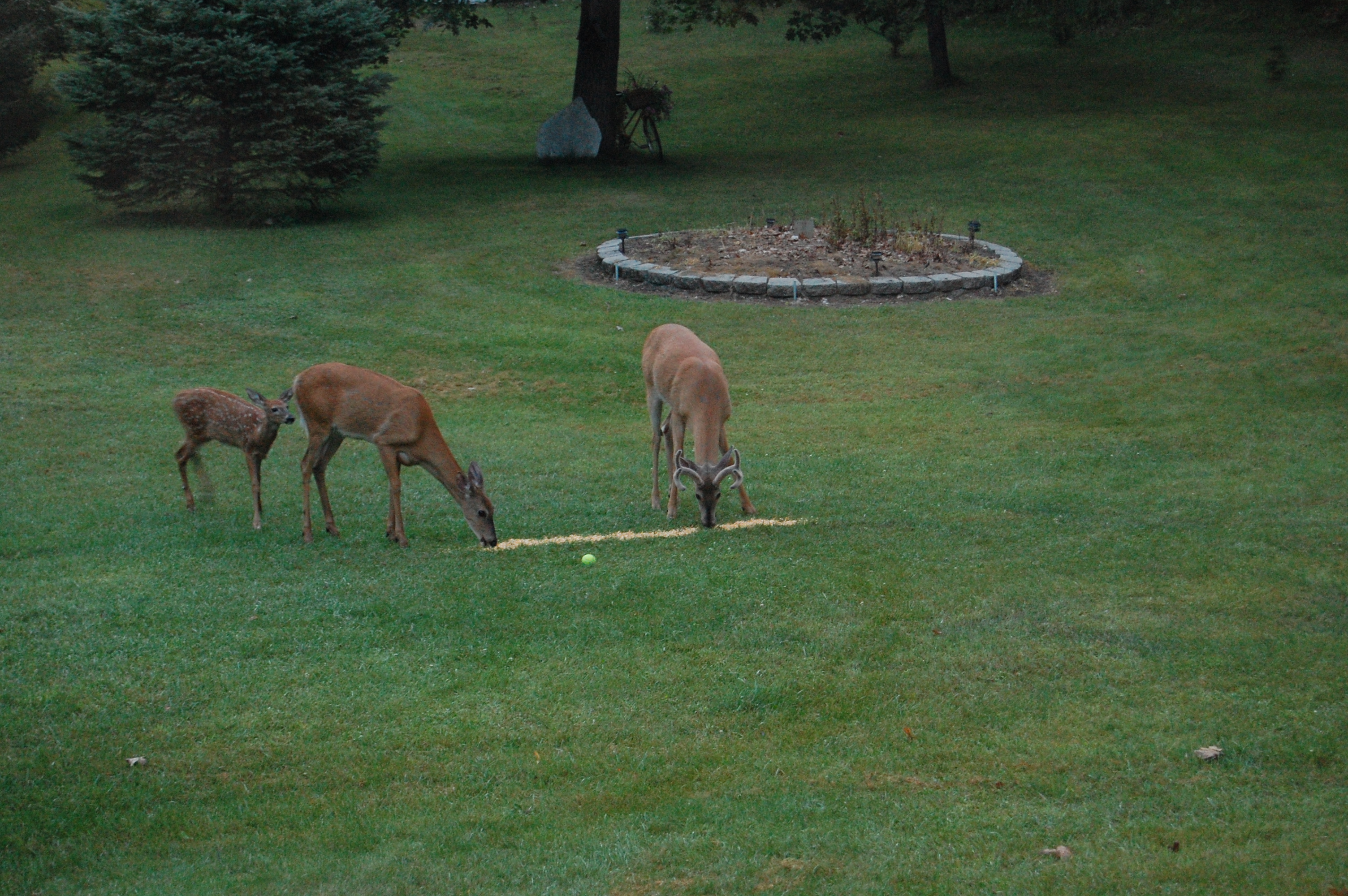
Evening Bite

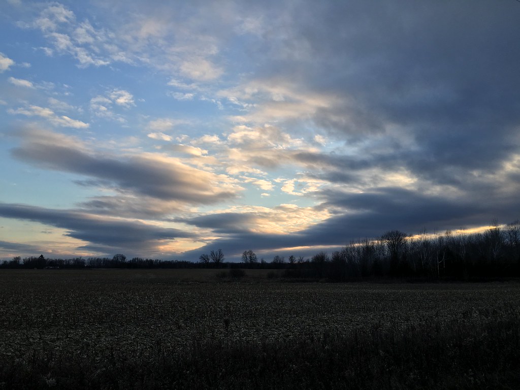
Rural road under morning skies

Red Pine Trees
Late fall sunset
WI Trip (147)
Lake Mary Memorial Weekend
6. Yellow Bridge rapids downstream
WI Trip (30)
Topographic Map of N Forest Rd, Wausaukee, WI, USA
Find elevation by address:

Places near N Forest Rd, Wausaukee, WI, USA:
Phillips Rd, Wausaukee, WI, USA
Wagner
4725 Sebero Rd
Wausaukee
Sweetheart City Rd, Wausaukee, WI, USA
Wausaukee
Co Rd JJ, Wausaukee, WI, USA
Loomis Rd, Porterfield, WI, USA
Middle Inlet
Lake
Porterfield
Co Rd G, Porterfield, WI, USA
W7327 Barker Rd
Porterfield
Rowe Rd, Porterfield, WI, USA
Crivitz
N12897 Morgan Lake Dr
1122 Lulu Ave
Bagley Rd, Marinette, WI, USA
W8622 Pheasant Dr
Recent Searches:
- Elevation of Sattva Horizon, 4JC6+G9P, Vinayak Nagar, Kattigenahalli, Bengaluru, Karnataka, India
- Elevation of Great Brook Sports, Gold Star Hwy, Groton, CT, USA
- Elevation of 10 Mountain Laurels Dr, Nashua, NH, USA
- Elevation of 16 Gilboa Ln, Nashua, NH, USA
- Elevation of Laurel Rd, Townsend, TN, USA
- Elevation of 3 Nestling Wood Dr, Long Valley, NJ, USA
- Elevation of Ilungu, Tanzania
- Elevation of Yellow Springs Road, Yellow Springs Rd, Chester Springs, PA, USA
- Elevation of Rēzekne Municipality, Latvia
- Elevation of Plikpūrmaļi, Vērēmi Parish, Rēzekne Municipality, LV-, Latvia