Elevation of Seasons Road, Seasons Rd, Aguanga, CA, USA
Location: United States > California > Aguanga >
Longitude: -116.75034
Latitude: 33.4734421
Elevation: 1255m / 4117feet
Barometric Pressure: 87KPa
Elevation Map:
Satellite Map:
Related Photos:

Back Yard late afternoon 1330hrs

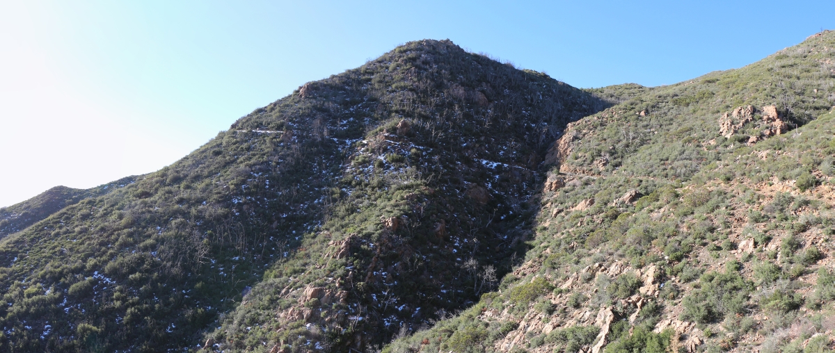
Chariot Fire from High Point South view 07-Jul-2013 1133 AM
The Road Not Taken

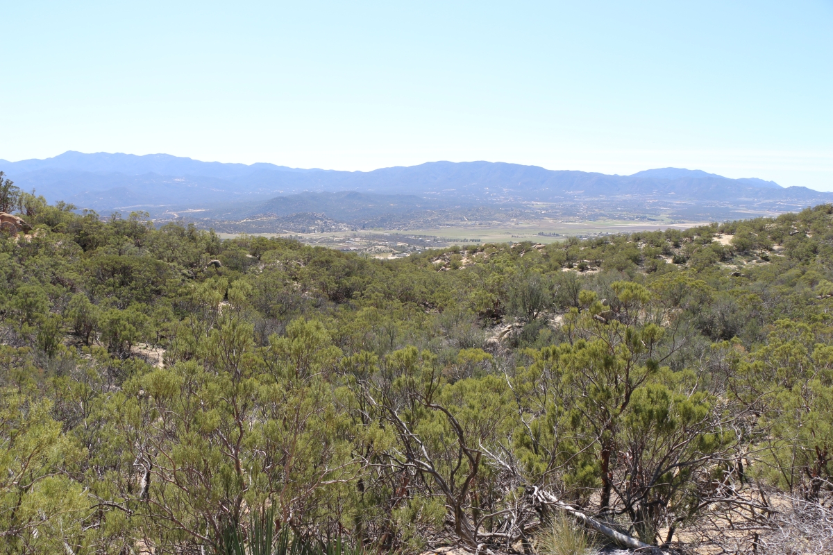
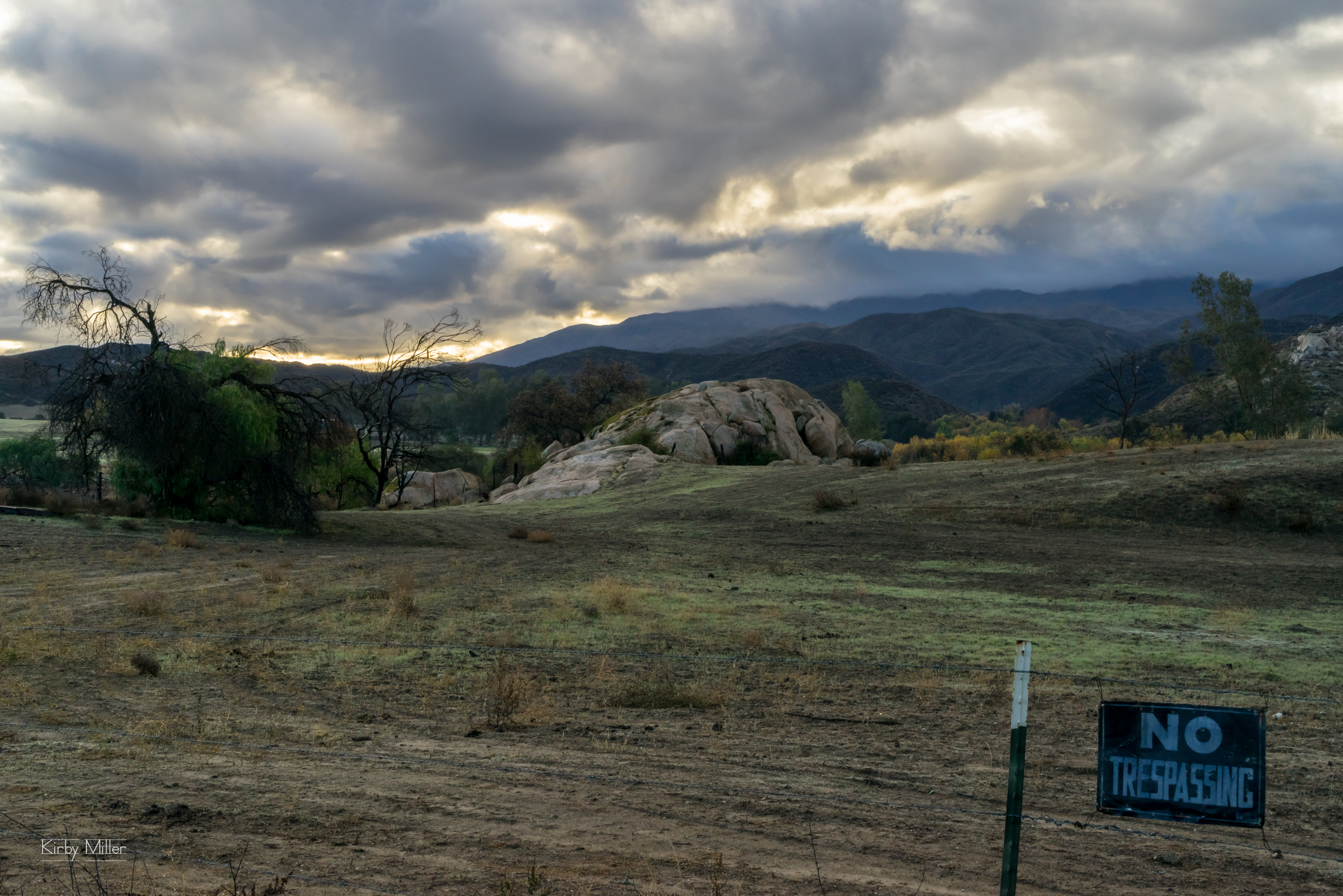
Economic recovery: rural California 12/2010
0870 Zoomed-in view of the saddle on the PCT near Combs Peak where we spent the previous night

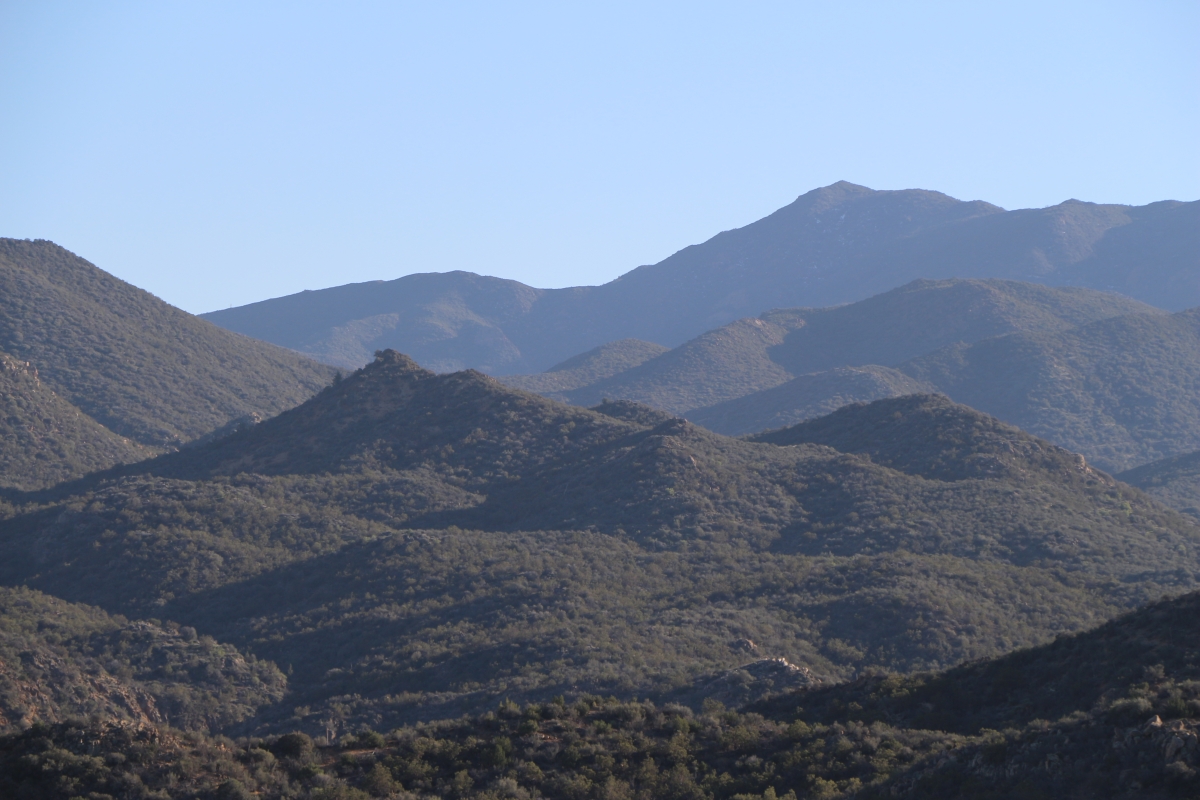
View south from Combs Peak

0771 Panorama view east from mile 137 on the PCT toward Toro Peak

HomePage RickyPics.com 24October2010
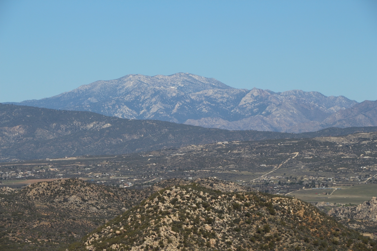
0709 Zoomed-in view north to San Jacinto Peak over the Terwilliger Valley from the PCT
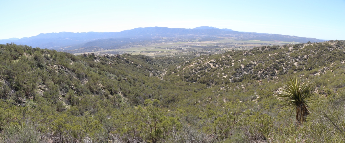
0749 Panorama view of upper Tule Canyon and the ridge to Peak 4154 from mile 136 on the PCT
1109 View southwest across the Terwilliger Valley in Anza from the PCT near mile 146 in the Anza-Borrego Desert
1119 View southwest across the Terwilliger Valley in Anza from the PCT near mile 146 in the Anza-Borrego Desert

1090 View southwest over the Terwilliger Valley from the PCT near mile 145
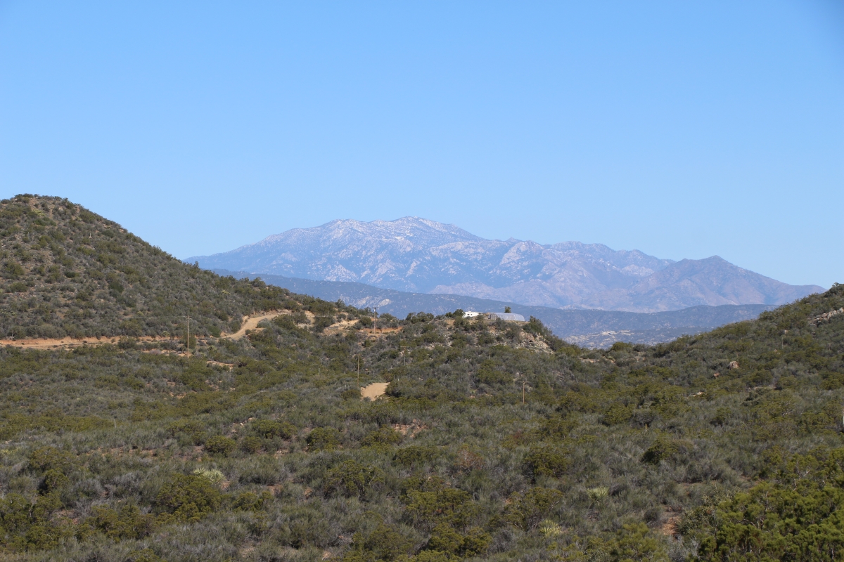
0685 Zoomed-in view of San Jacinto Peak from mile 132 on the PCT
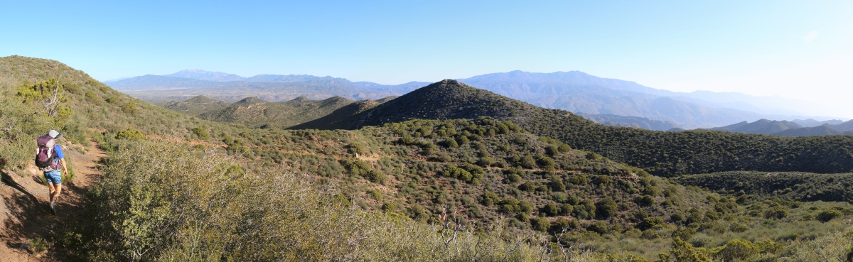
0657 Panorama view north and east from the PCT near mile 130, San Jacinto and Toro Peaks in the distance
0872 Zoomed-out view of Combs Peak and the saddle on the PCT where we camped the previous night.

Sunset, Cahuilla Mountain

Towards another day

Milky Clouds
High Desert Morning

Saddleback from Cahuilla Mountain
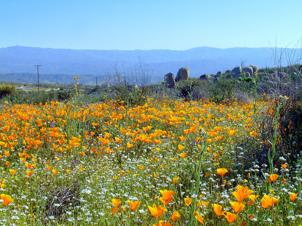
Wildflowers off Sage Road South of Hemet California

SANY0615-1

Just Standing in a Field - 30.52

A Cold Day's Night Begins
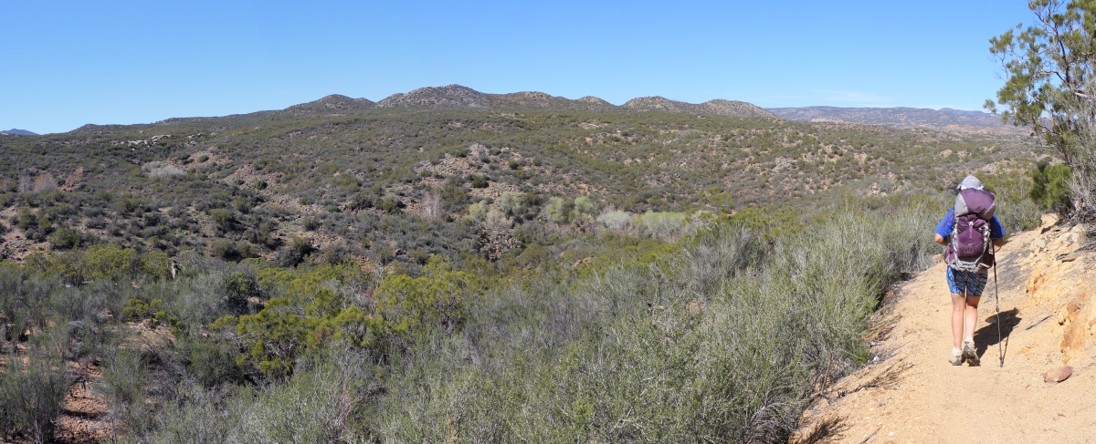
Pct day 8
0649 Snow on the north-facing slopes on the northeast side of Bucksnort Mountain on the PCT
DSC00685.jpg

Twin smoke columns - Mountain Fire
DSC00695.jpg

Smoke column breaks thru inversion layer - Mountain Fire
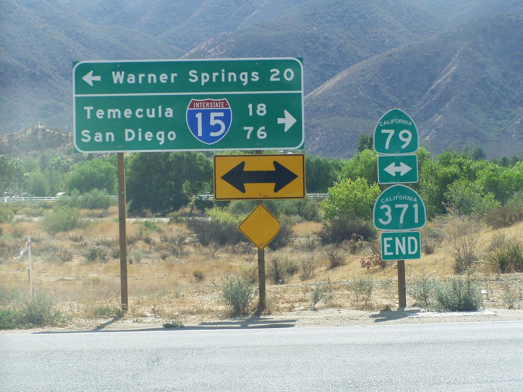
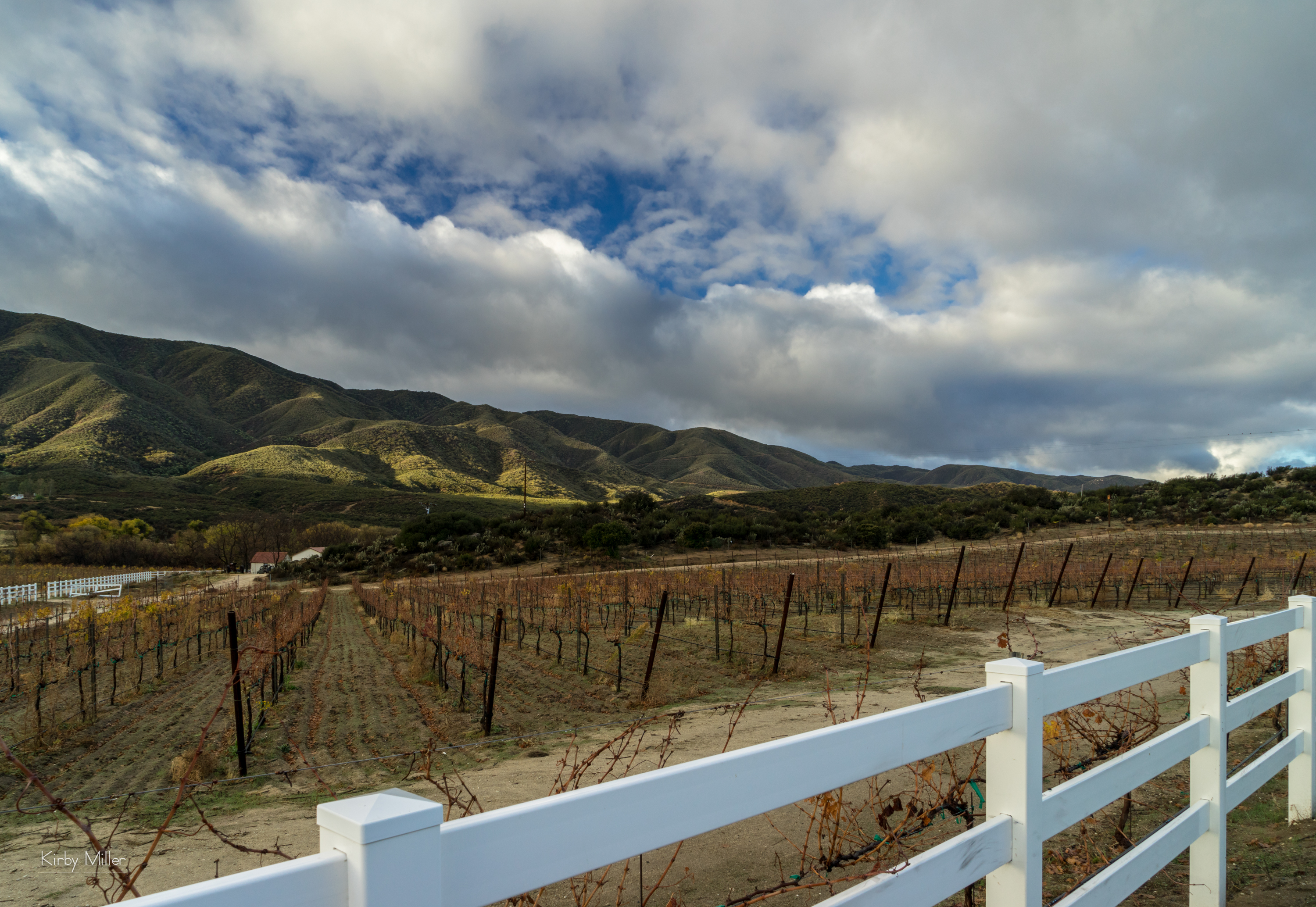
Highway 79 is one of my fav drives in So Cal, so rustic.

20121021 SD ADV 27
SANY0622-1
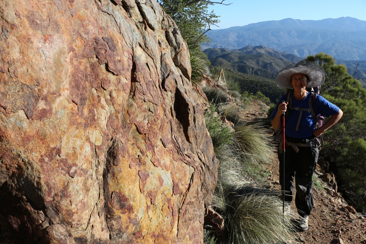
0648 Nice looking colors of the rock on the northeast side of Bucksnort Mountain on the PCT

0645 The trail starts descending in earnest on the northeast side of Bucksnort Mountain on the PCT
Topographic Map of Seasons Road, Seasons Rd, Aguanga, CA, USA
Find elevation by address:

Places near Seasons Road, Seasons Rd, Aguanga, CA, USA:
43850 Bonny Ln
43665 Sunshine Cir
43620 Cowboy Country Trail
52702 Ca-371
CA-, Anza, CA, USA
Rolling Hills Drive
41898 Saddleback Dr
48275 Azula Rd
42605 Rolling Hills Dr
Spanish Bayonet
49177 Tomahawk Ct
40825 Deerfoot Ct
38176 Ca-79
54395 Old Ranch Rd
38642 Ca-79
Aguanga
CA-79, Aguanga, CA, USA
Ginter
Buck Road
Los Altos Road
Recent Searches:
- Elevation of Elwyn Dr, Roanoke Rapids, NC, USA
- Elevation of Congressional Dr, Stevensville, MD, USA
- Elevation of Bellview Rd, McLean, VA, USA
- Elevation of Stage Island Rd, Chatham, MA, USA
- Elevation of Shibuya Scramble Crossing, 21 Udagawacho, Shibuya City, Tokyo -, Japan
- Elevation of Jadagoniai, Kaunas District Municipality, Lithuania
- Elevation of Pagonija rock, Kranto 7-oji g. 8"N, Kaunas, Lithuania
- Elevation of Co Rd 87, Jamestown, CO, USA
- Elevation of Tenjo, Cundinamarca, Colombia
- Elevation of Côte-des-Neiges, Montreal, QC H4A 3J6, Canada