Elevation of CA-, Anza, CA, USA
Location: United States > California > Riverside County > Anza >
Longitude: -116.74000
Latitude: 33.541372
Elevation: 1126m / 3694feet
Barometric Pressure: 89KPa
Elevation Map:
Satellite Map:
Related Photos:

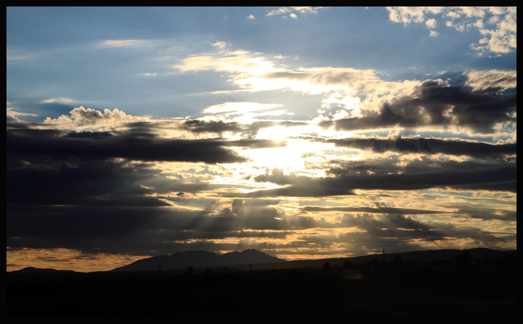
Mountain Center Morning Light
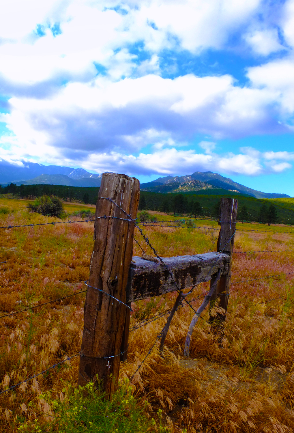
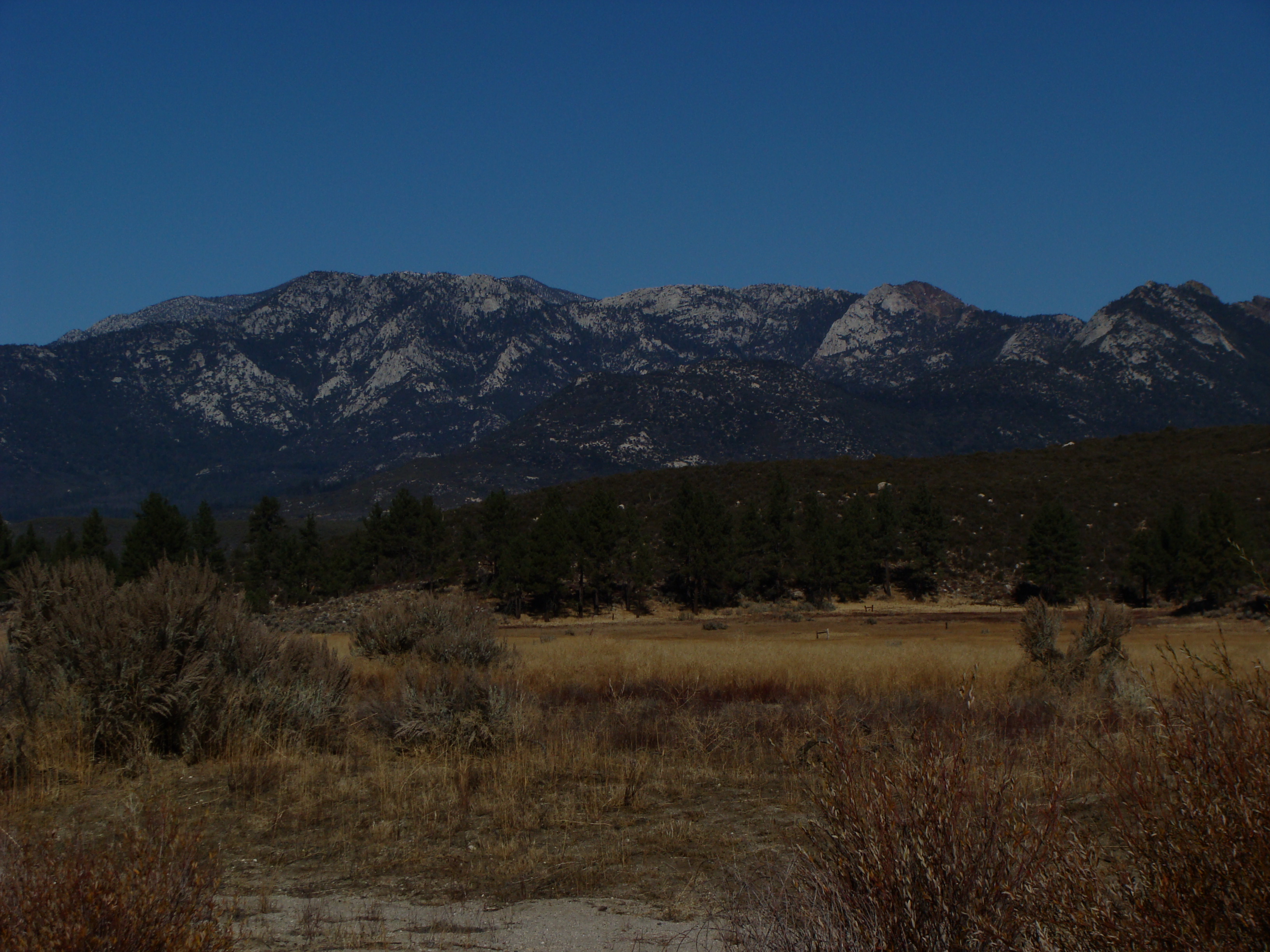
Mountain Meadow

Back Yard late afternoon 1330hrs
Hurkey Creek_20100110_002
The Road Not Taken

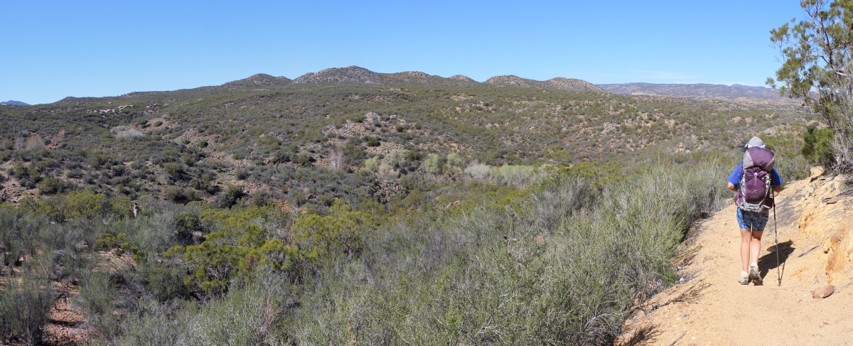
1077 View west over the Terwilliger Valley from the PCT near mile 145

1304 Panorama view north toward San Jacinto Peak from the PCT at the saddle on Lookout Mountain

0048 View north to San Jacinto Peak on the PCT near Route 74

Economic recovery: rural California 12/2010

0024 View north of our route along the ridge (left to right) toward San Jacinto Peak
Hurkey Creek_20100110_001

1306 Zoomed-in view of our car in the PCT trailhead parking lot on Highway 74 near mile 152

0018 Foothills ahead viewed from the PCT just north of Route 74

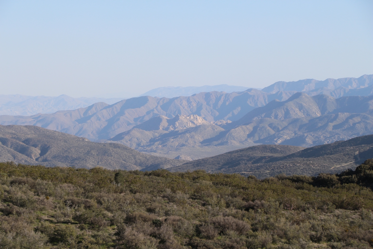
0771 Panorama view east from mile 137 on the PCT toward Toro Peak

HomePage RickyPics.com 24October2010
1279 Zoomed-in view south over Coyote Canyon toward Borrego Springs from the PCT near Lookout Mountain
1294 Zoomed-in view of a small pond in Burnt Valley (Anza, CA) from the PCT near Lookout Mountain
0749 Panorama view of upper Tule Canyon and the ridge to Peak 4154 from mile 136 on the PCT
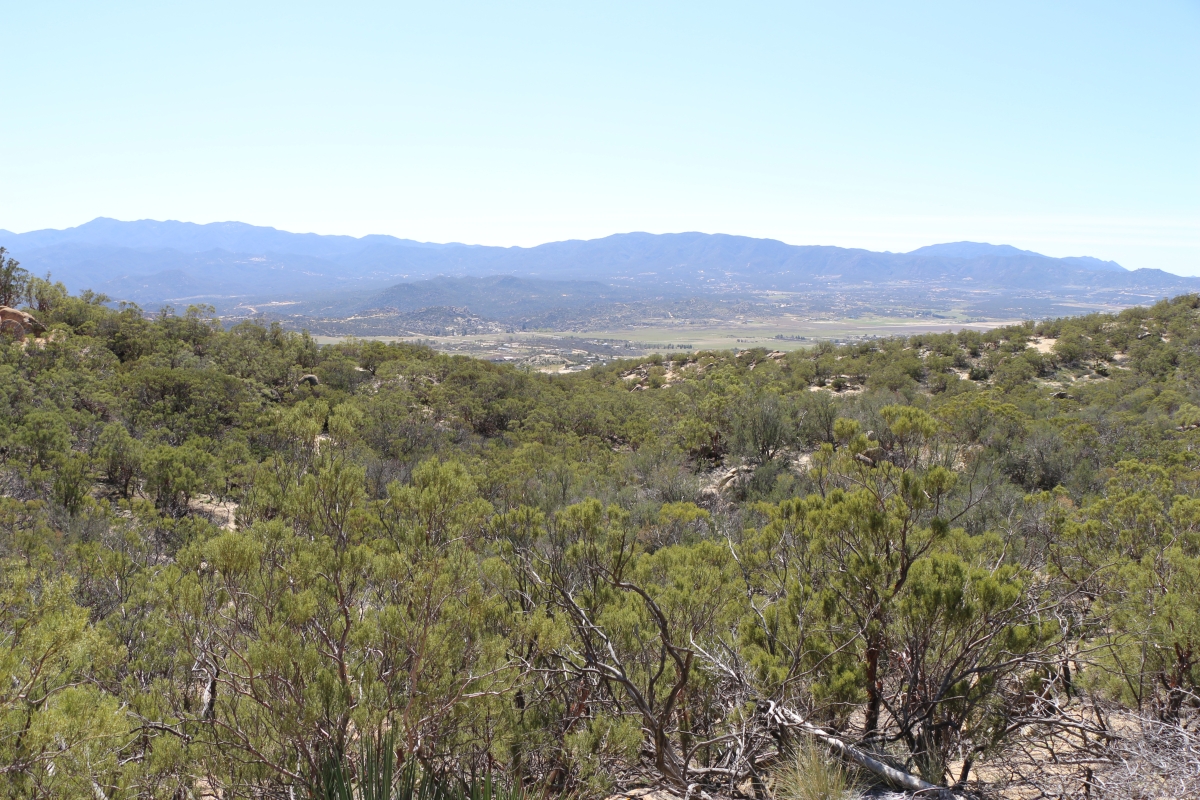
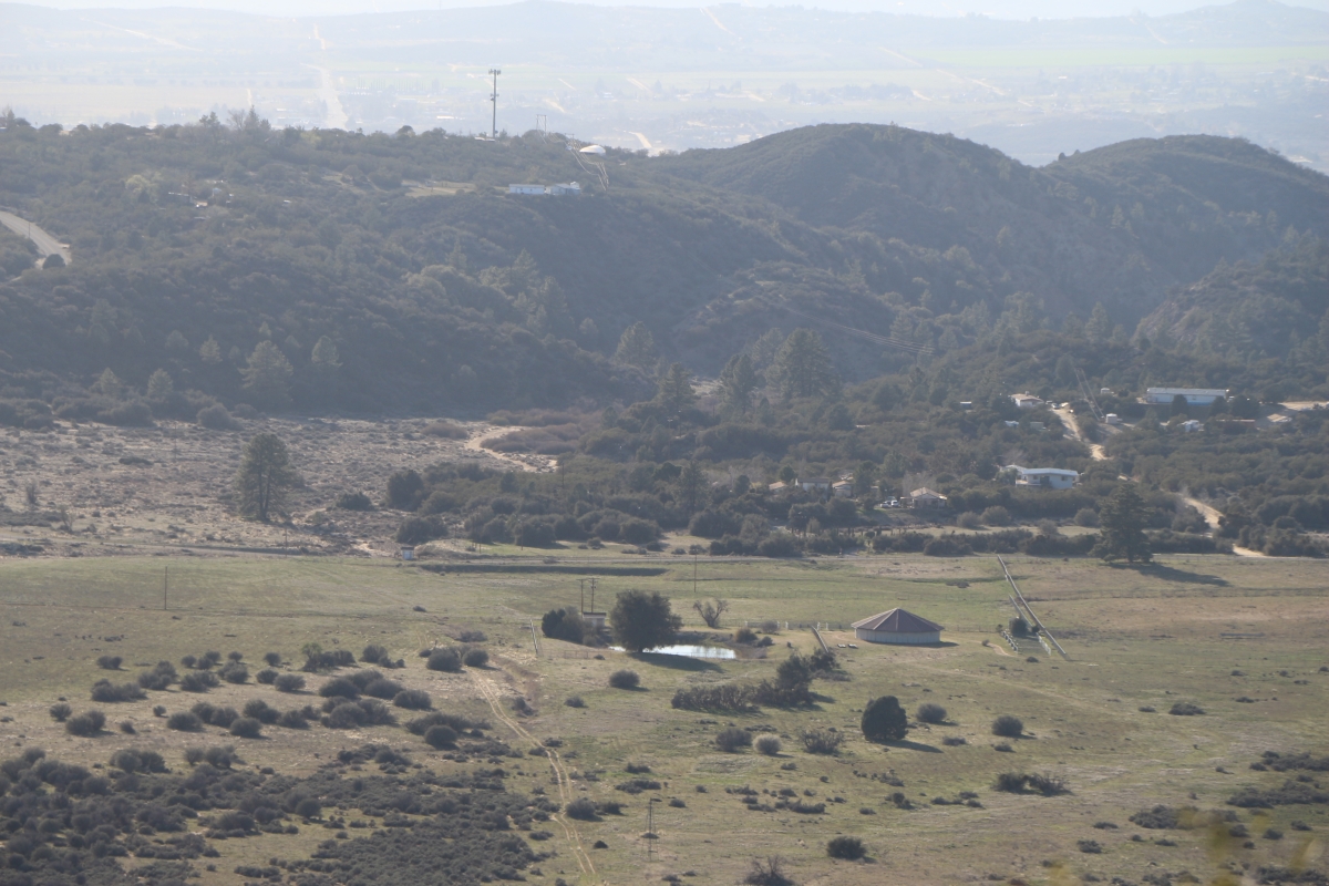
1109 View southwest across the Terwilliger Valley in Anza from the PCT near mile 146 in the Anza-Borrego Desert
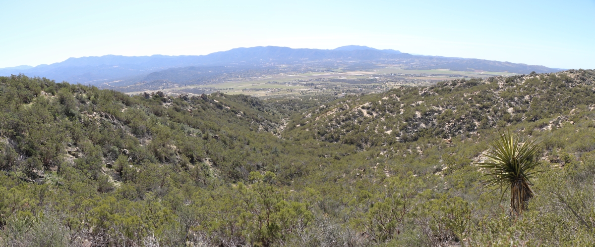
1119 View southwest across the Terwilliger Valley in Anza from the PCT near mile 146 in the Anza-Borrego Desert
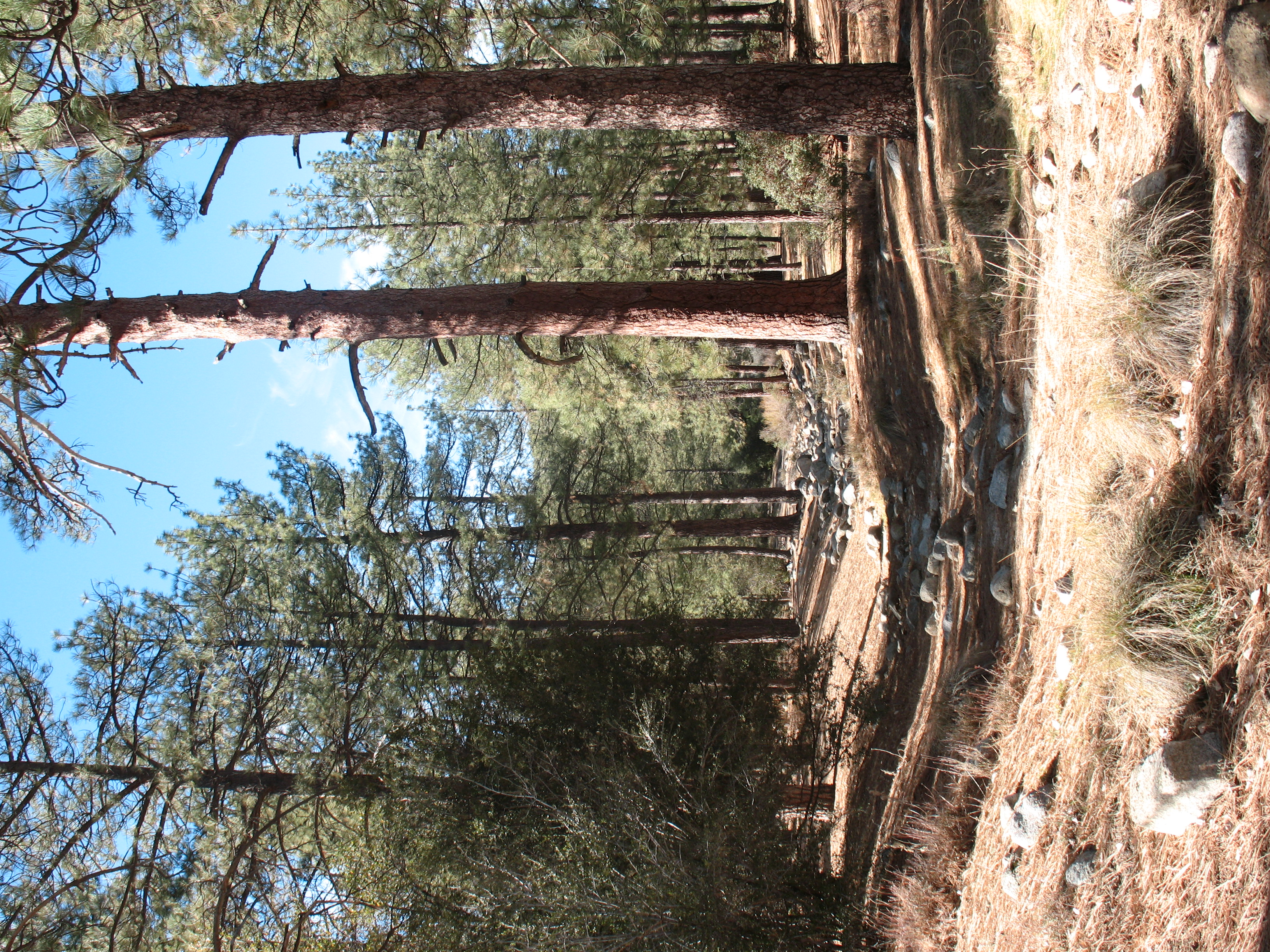
Hurkey Creek_20100110_003

Towards another day

Sunset, Cahuilla Mountain

Saddleback from Cahuilla Mountain
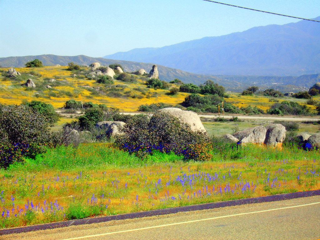
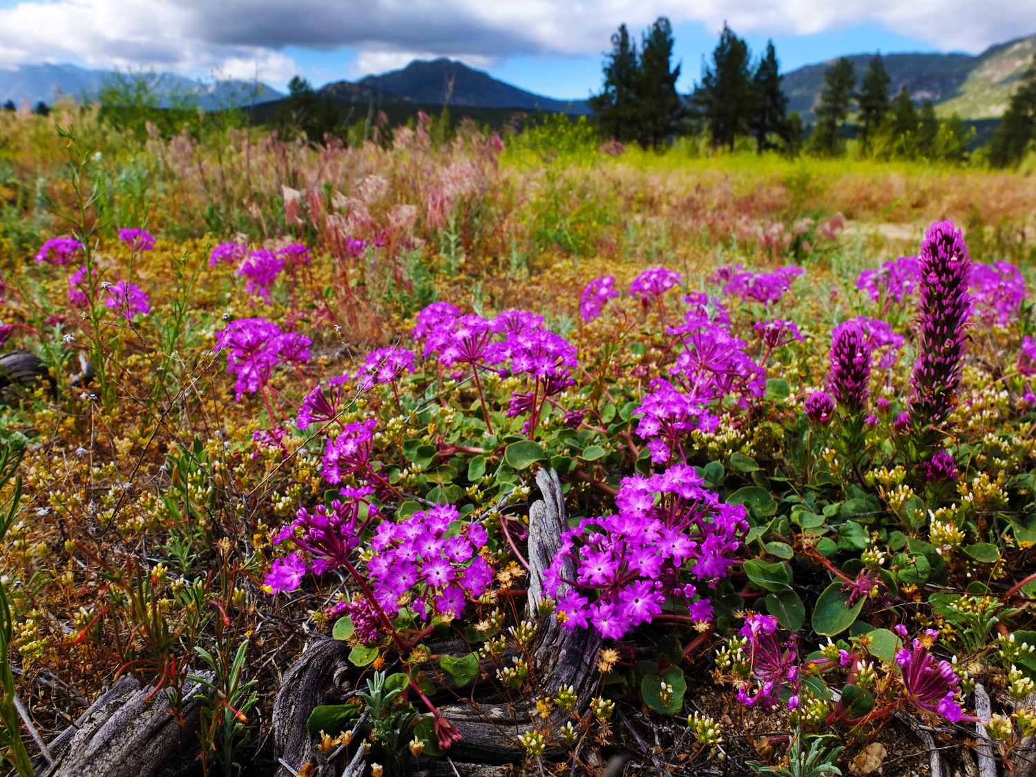
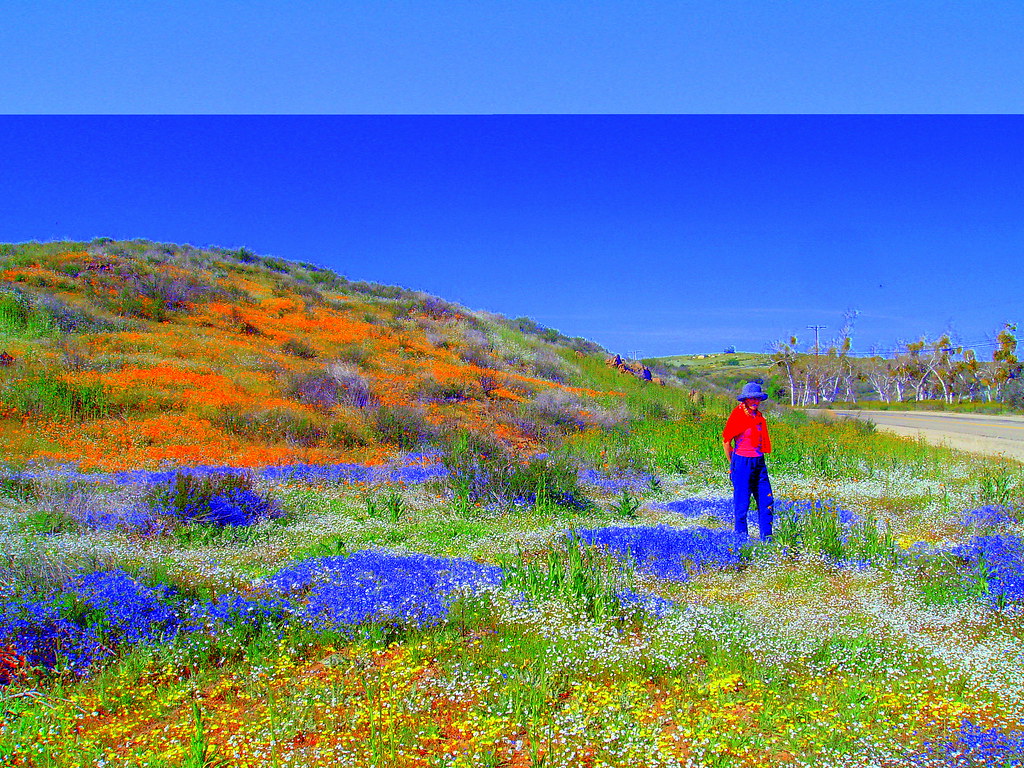
Wildflowers off Sage Road South of Hemet California
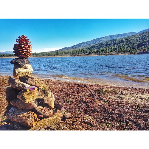
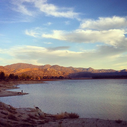
Lake Hemet #nature #lakehemet #sky #sun #summer #beach #beautiful #pretty #sunday #familyday #blue #flowers #picnic #tree #pinecone #clouds #beauty #light #cloudporn #photooftheday #love #green #skylovers #dusk #weather #day #red #iphonesia #mothernature
High Desert Morning
Forbidden Open Space
DSC00146.JPG
Diamond Valley Lake est.1999

SANY0615-1
SANY0494-1
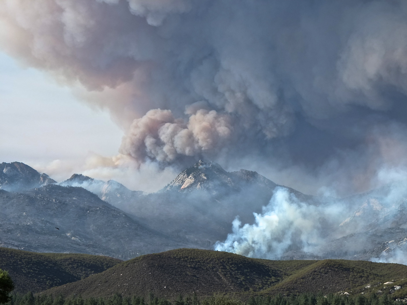
#MountainFire
Trees...and water! Oh, how I've missed you!

Just Standing in a Field - 30.52
Order001-0003
Pct day 8
SANY0453-1
Order001-0000
DSC00147.JPG
DSC00162.JPG
Topographic Map of CA-, Anza, CA, USA
Find elevation by address:

Places near CA-, Anza, CA, USA:
52702 Ca-371
Spanish Bayonet
54395 Old Ranch Rd
43850 Bonny Ln
49177 Tomahawk Ct
43665 Sunshine Cir
Seasons Road
43620 Cowboy Country Trail
41898 Saddleback Dr
Rolling Hills Drive
42605 Rolling Hills Dr
40825 Deerfoot Ct
48275 Azula Rd
38642 Ca-79
38176 Ca-79
Aguanga
Ginter
Buck Road
CA-79, Aguanga, CA, USA
Los Altos Road
Recent Searches:
- Elevation of Corso Fratelli Cairoli, 35, Macerata MC, Italy
- Elevation of Tallevast Rd, Sarasota, FL, USA
- Elevation of 4th St E, Sonoma, CA, USA
- Elevation of Black Hollow Rd, Pennsdale, PA, USA
- Elevation of Oakland Ave, Williamsport, PA, USA
- Elevation of Pedrógão Grande, Portugal
- Elevation of Klee Dr, Martinsburg, WV, USA
- Elevation of Via Roma, Pieranica CR, Italy
- Elevation of Tavkvetili Mountain, Georgia
- Elevation of Hartfords Bluff Cir, Mt Pleasant, SC, USA