Elevation of SE th St, Oklahoma City, OK, USA
Location: United States > Oklahoma > Cleveland County > Oklahoma City > Southeast Oklahoma City >
Longitude: -97.281492
Latitude: 35.3559289
Elevation: 374m / 1227feet
Barometric Pressure: 97KPa
Elevation Map:
Satellite Map:
Related Photos:

A-OK Railroad

Take Off

Lake Stanley Draper (3846) Oklahoma City, OK
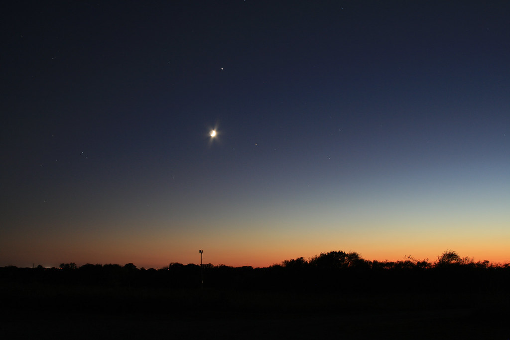
Oklahoma Sky - 15 October 2007

Field of Ford Model T Trucks in Oklahoma City

Morning view - 7/27/2017

Primate viewing

Beaded lizard

First Arrangement (2013) - 06

First Arrangement (2013) - 05

Lake Stanley Draper Trail

Kitchen Lake

“Good Morning”

“Clear sky’s and still waters”

Home On the Range

Droning (6 of 18)

Droning (5 of 18)

Droning (8 of 18)

Oklahoma Sky - 02 May 2007

2013-07-28 12.31.39

2013-07-28 12.31.46

2013-07-28 12.31.08

Lake Thunderbird, Oklahoma

Lincoln Log Bridge at Clear Bay

Kitchen Lake

The Star Spangled Salute Air Show

Sun Rises

Eastern Cottontail Rabbit

Rose State College

JUST A FLOWER...A YELLOW FLOWER...AN INNOCENT YELLOW FLOWER WITH GIANT STINGERS OF DEATH FILLED WITH PURE VENOM AND RAGE...
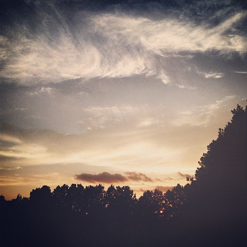
Sunset Sunday.
Topographic Map of SE th St, Oklahoma City, OK, USA
Find elevation by address:

Places near SE th St, Oklahoma City, OK, USA:
Southeast Oklahoma City
SE Peebly Rd, Newalla, OK, USA
10800 Se 51st St
10600 Se 51st St
10000 Se 51st St
1840 Kenneth Ln
20800 Se 134th St
Walgreens
3000 S Douglas Blvd
China Sky
Choctaw High School
Cleveland County
Johnston Auto
SE th St, Oklahoma City, OK, USA
2600 Maupin St
Muzzy St, Choctaw, OK, USA
Choctaw
SE 15th St, Midwest City, OK, USA
Midwest City
Interstate 40
Recent Searches:
- Elevation of Congressional Dr, Stevensville, MD, USA
- Elevation of Bellview Rd, McLean, VA, USA
- Elevation of Stage Island Rd, Chatham, MA, USA
- Elevation of Shibuya Scramble Crossing, 21 Udagawacho, Shibuya City, Tokyo -, Japan
- Elevation of Jadagoniai, Kaunas District Municipality, Lithuania
- Elevation of Pagonija rock, Kranto 7-oji g. 8"N, Kaunas, Lithuania
- Elevation of Co Rd 87, Jamestown, CO, USA
- Elevation of Tenjo, Cundinamarca, Colombia
- Elevation of Côte-des-Neiges, Montreal, QC H4A 3J6, Canada
- Elevation of Bobcat Dr, Helena, MT, USA