Elevation of SE 51st St, Oklahoma City, OK, USA
Location: United States > Oklahoma > Cleveland County > Oklahoma City > Southeast Oklahoma City >
Longitude: -97.339469
Latitude: 35.4138942
Elevation: 381m / 1250feet
Barometric Pressure: 97KPa
Elevation Map:
Satellite Map:
Related Photos:

Drone's Eye View 4

Chesapeake Boathouse

Crossroads Mall, Oklahoma City

Lake Stanley Draper (3846) Oklahoma City, OK

"Morning view of a 103 degree day in the city"

Morning view - 7/27/2017
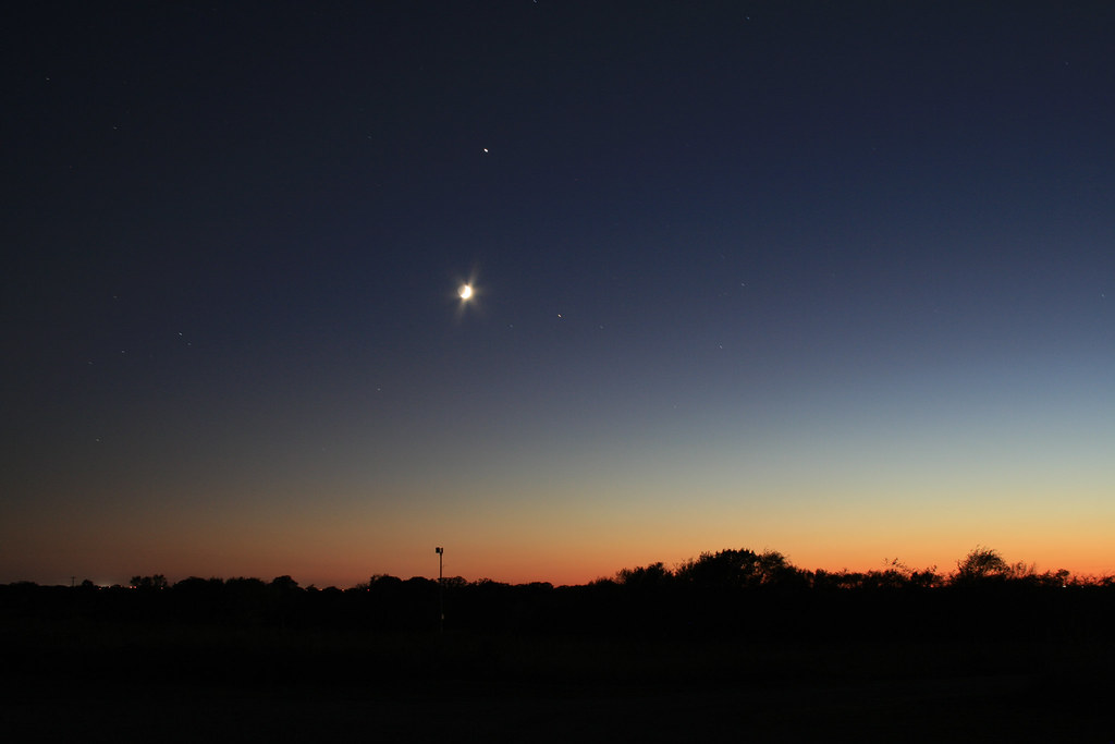
Oklahoma Sky - 15 October 2007
Another view, South East OKC

"View of downtown OKC from Southside of the North Canadian river"

OKC Skyline Sunset

Bricktown Waterfall Closer View

Abandoned (Day 87)

Pano2 (3 of 41)

Crossroads Mall, Oklahoma City

"View of downtown OKC from Southside of the North Canadian river"

Crossroads Mall, Oklahoma City

Droning (1 of 13)

view of são paulo from the mountains

Crossroads Mall, Oklahoma City

Crossroads Mall, Oklahoma City

Misc2 (1 of 19)

OKC Skyline_MG_2318

Harris's Sparrow

JUST A FLOWER...A YELLOW FLOWER...AN INNOCENT YELLOW FLOWER WITH GIANT STINGERS OF DEATH FILLED WITH PURE VENOM AND RAGE...

Home On the Range

“Good Morning”

Drought 2012

“The Boat House’s”

Reflecting Pond

Foxy Tails

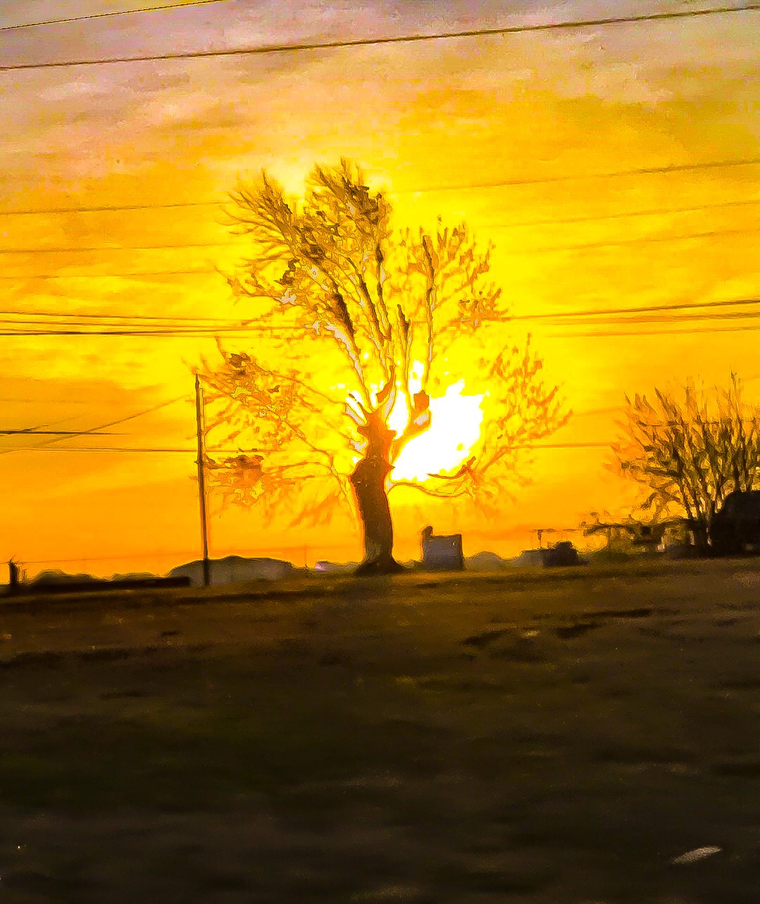
“Cold And Red”

Route 66

“BNSF 8384” crossing South Grand Boulevard near Shields. Oklahoma City, Oklahoma.

“Clear sky’s and still waters”

Lake Draper @ 6am

“The River Trail”
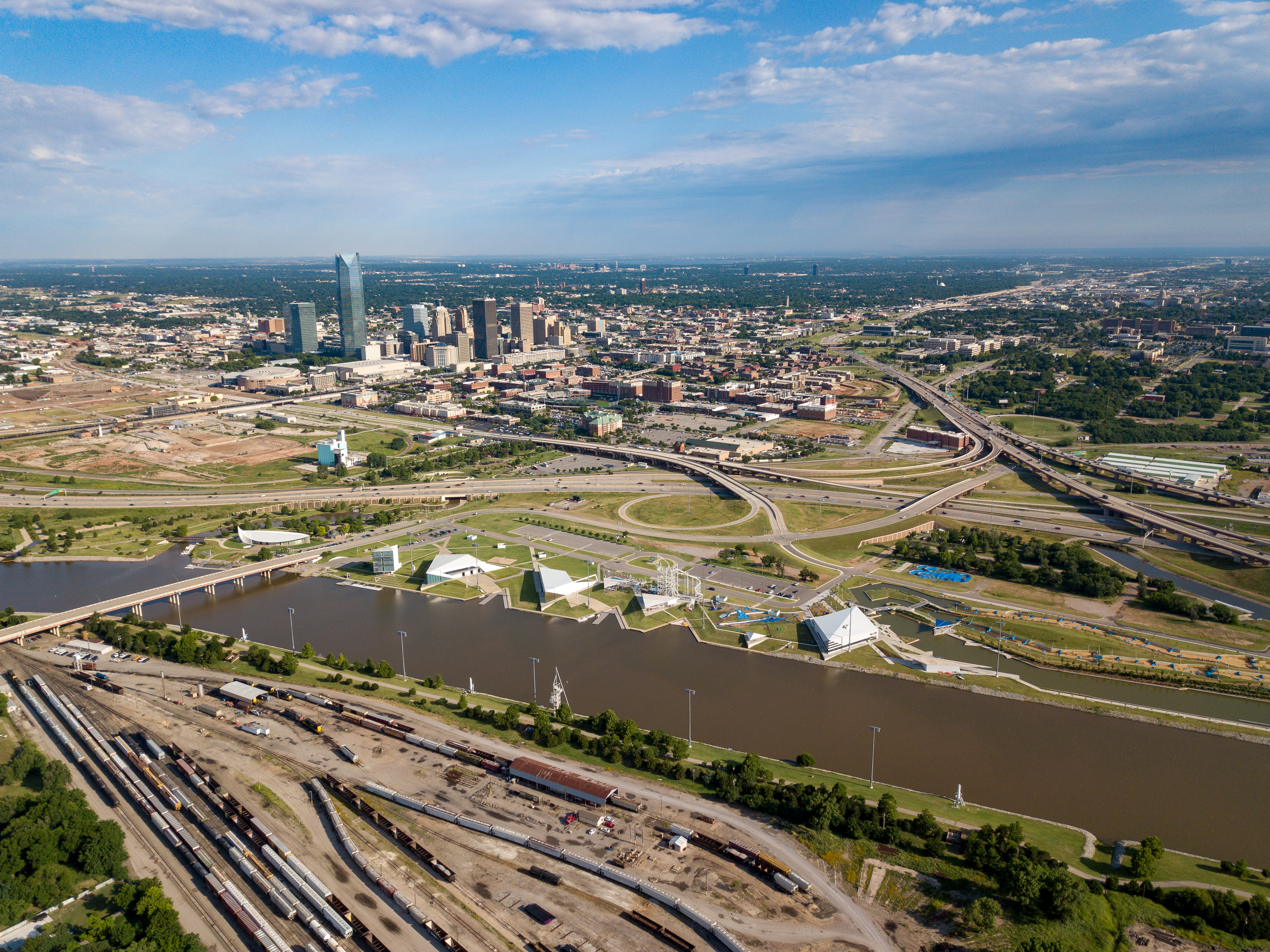
Droning (1 of 7)

Thanks to Devon's Blu Party, we got to enjoy last night's sunset on the river... check it out!

Day 222

Painting Landrun 1889 Oklahoma

Droning (6 of 18)
Topographic Map of SE 51st St, Oklahoma City, OK, USA
Find elevation by address:

Places near SE 51st St, Oklahoma City, OK, USA:
10600 Se 51st St
10000 Se 51st St
3000 S Douglas Blvd
Walgreens
China Sky
Johnston Auto
SE 15th St, Midwest City, OK, USA
Midwest City
Southeast Oklahoma City
Interstate 40
N Midwest Blvd @ Arbor Dr
301 Country Club Cir
14032 Se 110th St
Ridgecrest
Choctaw High School
Tez Wingz
4200 Se 59th St
Del City
Muzzy St, Choctaw, OK, USA
Choctaw
Recent Searches:
- Elevation of Elwyn Dr, Roanoke Rapids, NC, USA
- Elevation of Congressional Dr, Stevensville, MD, USA
- Elevation of Bellview Rd, McLean, VA, USA
- Elevation of Stage Island Rd, Chatham, MA, USA
- Elevation of Shibuya Scramble Crossing, 21 Udagawacho, Shibuya City, Tokyo -, Japan
- Elevation of Jadagoniai, Kaunas District Municipality, Lithuania
- Elevation of Pagonija rock, Kranto 7-oji g. 8"N, Kaunas, Lithuania
- Elevation of Co Rd 87, Jamestown, CO, USA
- Elevation of Tenjo, Cundinamarca, Colombia
- Elevation of Côte-des-Neiges, Montreal, QC H4A 3J6, Canada