Elevation of SE Bohna Park Rd, Damascus, OR, USA
Location: United States > Oregon > Clackamas County > Damascus >
Longitude: -122.41967
Latitude: 45.4317179
Elevation: 181m / 594feet
Barometric Pressure: 99KPa
Elevation Map:
Satellite Map:
Related Photos:

balancing act
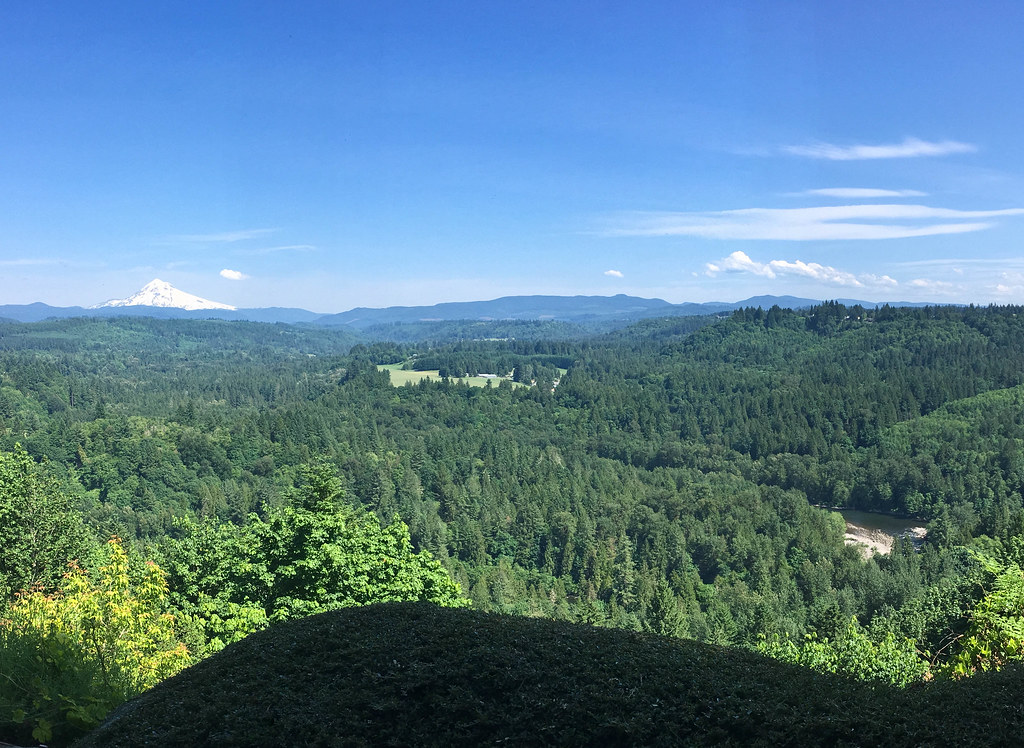
View from My Place

Awaiting Sunrise at Jonsrud Viewpoint - Sandy Oregon - HDR
the last day of August

November Sunrise

So lucky to have friends @jess_pdx and @hinespdx (sbka* @HinesBeLike) to go out randomly hunting for city views on a lark. * = should be known as

they think like me, cool...

Rolling fog over Sandy River Valley. Can't wait to see more of these foggy landscapes . . . . . #jonrudsviewpoint #sandyoregon #foggymorning #foggysunrise #mthoodterritory #canon_official #canonphotography #madewithmefoto #purplepassport #explorecreatesha

Rise of The Blue Moon

locked on target
Send Me Home
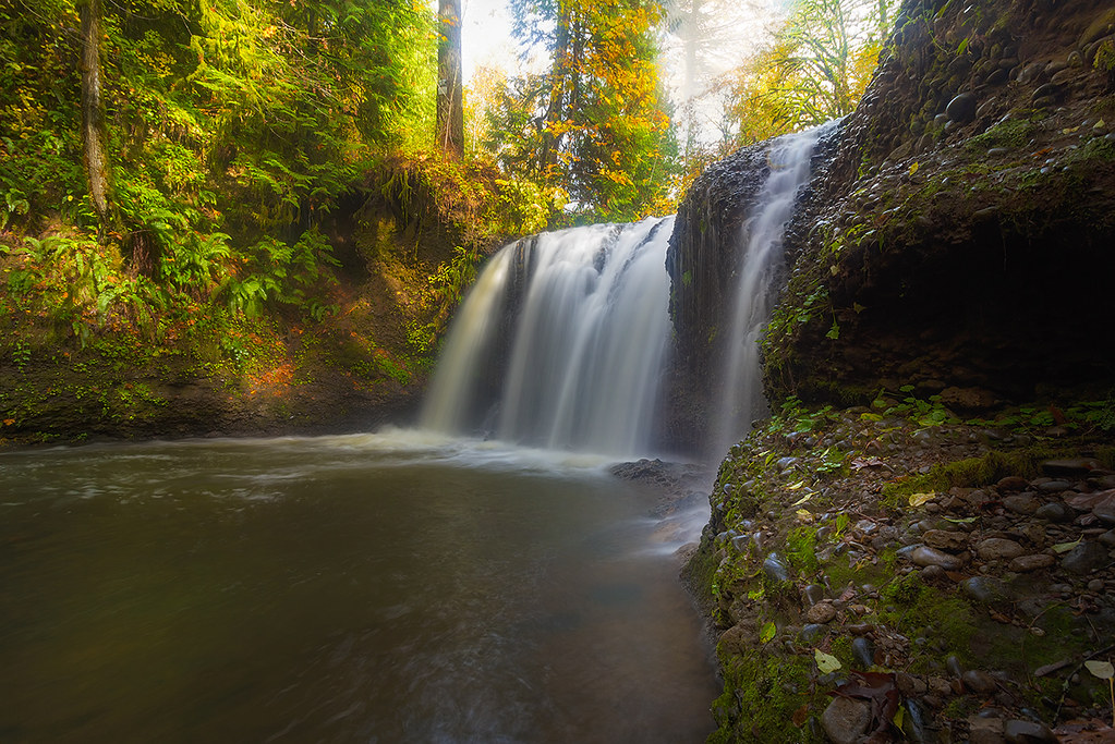
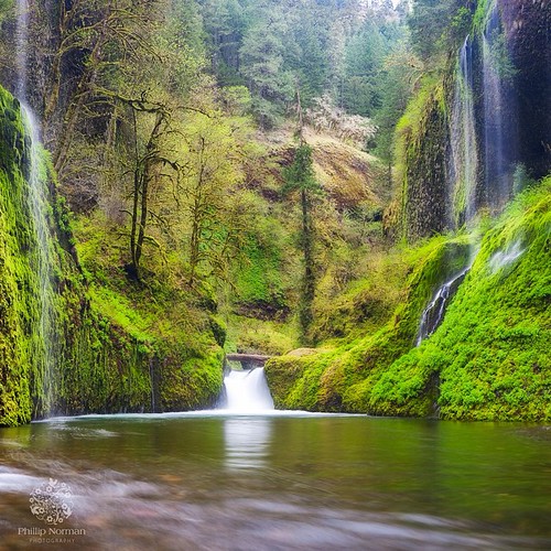
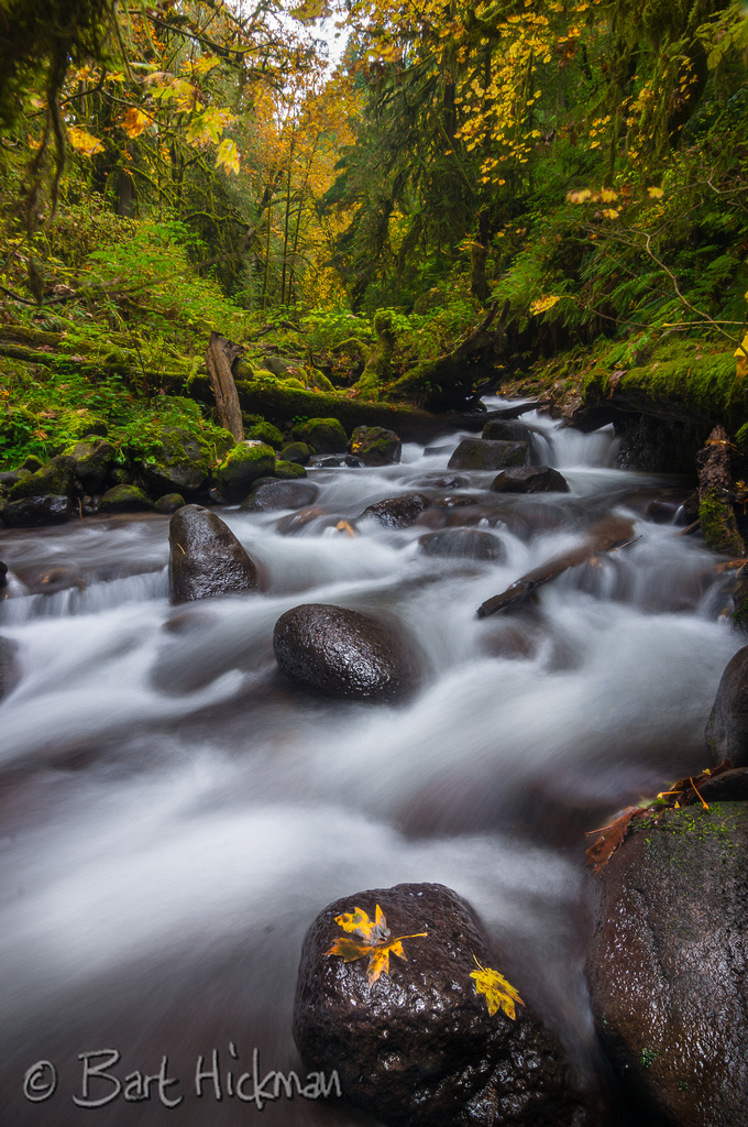
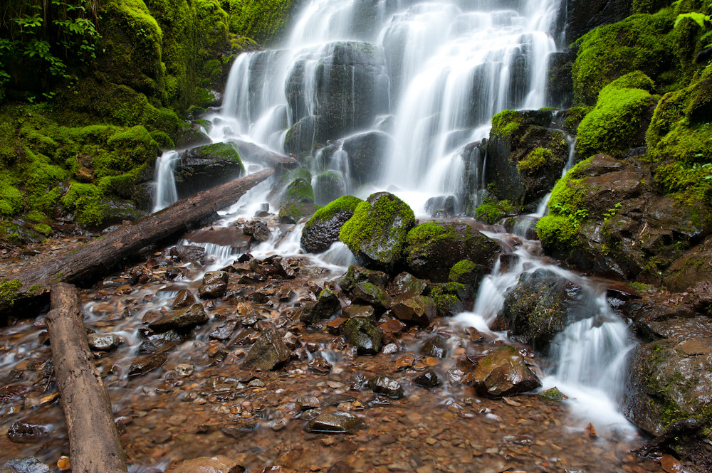
Sunlight and Waterfall . . . . #rockcreek #hiddenfalls #waterfall #waterfallsfordays #jj_westcoast #jj_oregon #canonphotography #photooftheday #oregonexplored #oregon #pnw #oregonwaterfalls #pnwisbest #pnwonderland #pnwisbeautiful #madewithmefoto #picofth
The Last Kiss
Missing the Point

willow perch

Hood to Coast 2009
The most I can do for my friend is simply be his friend…
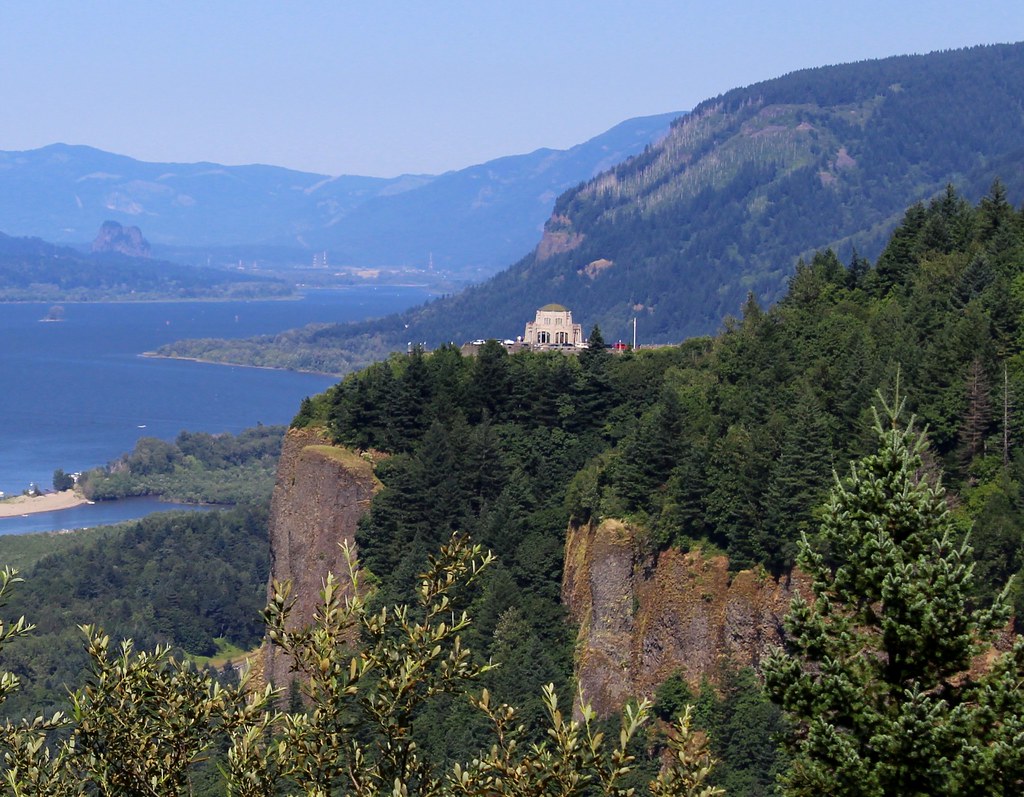
Crown Point, Columbia River Gorge
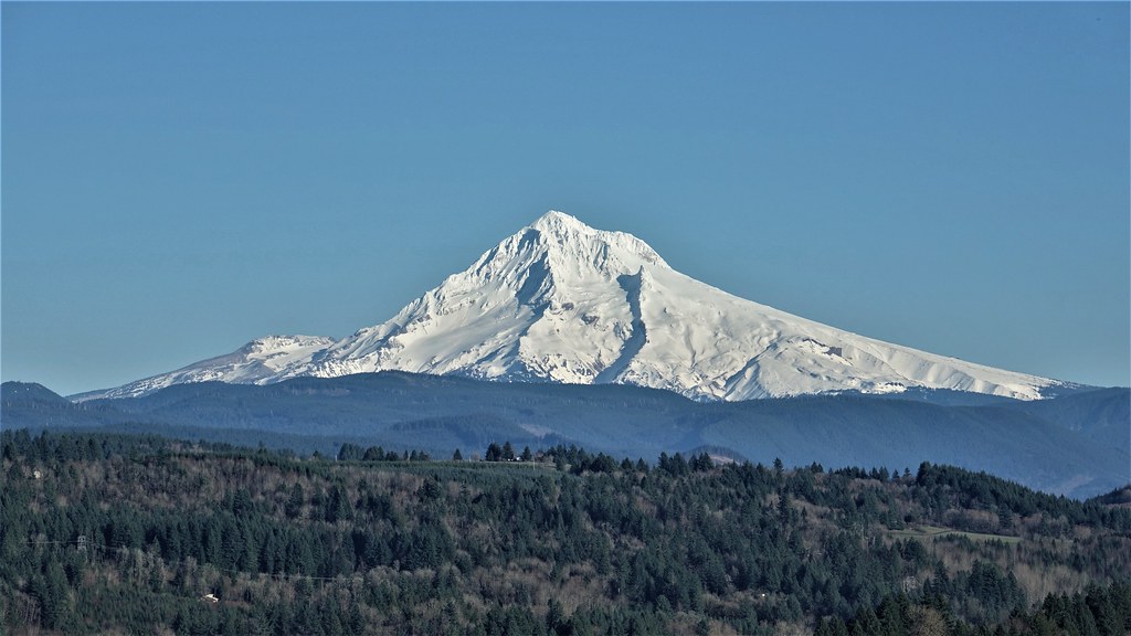
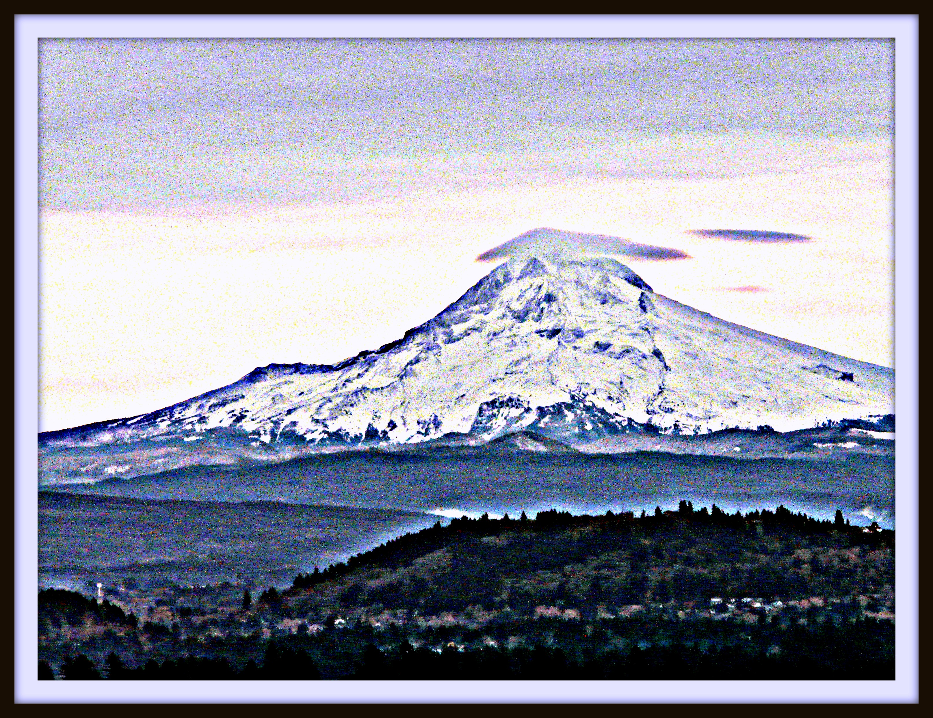
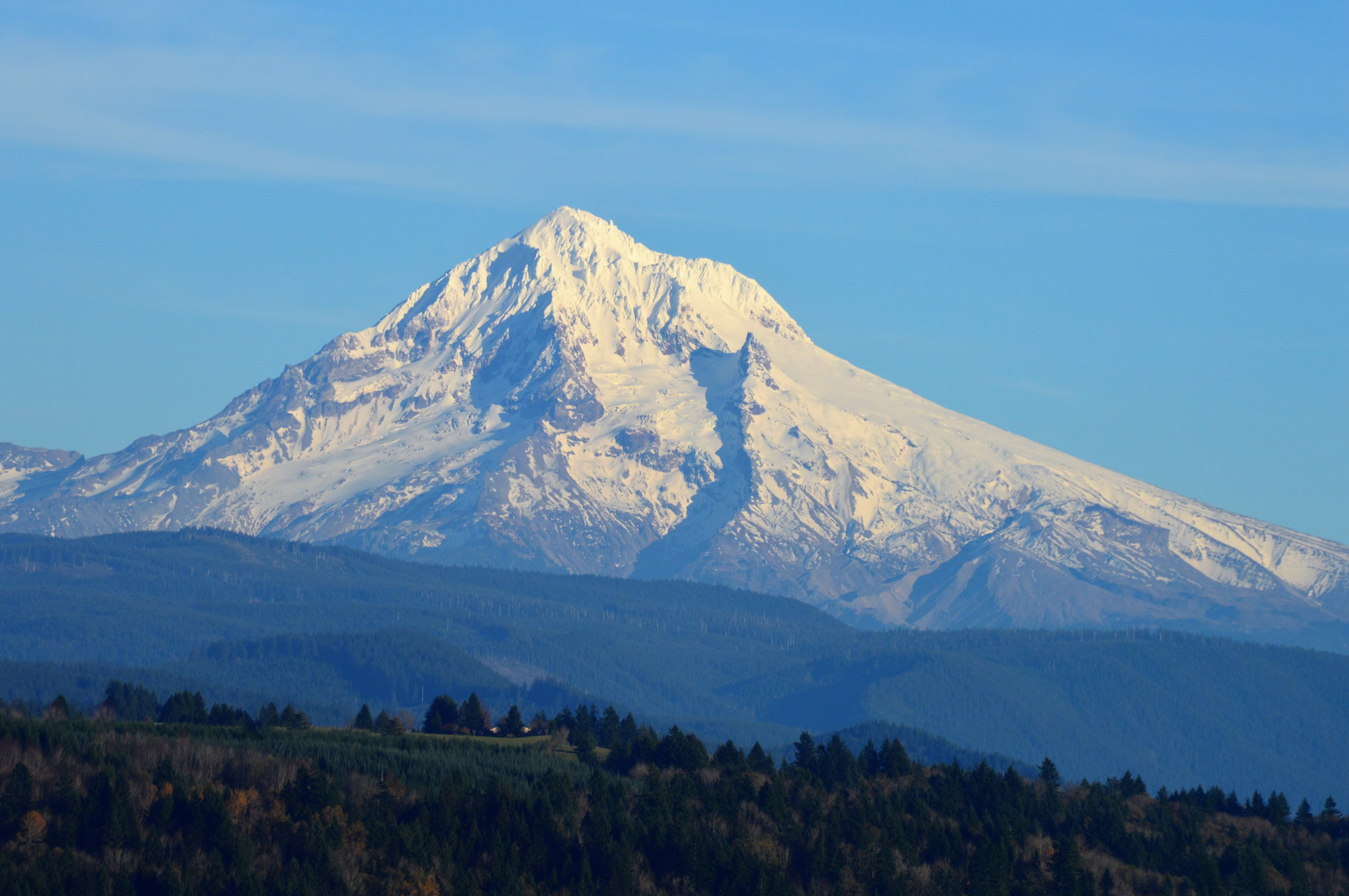
DSC02095 (4) Mt. Hood Oregon

A Setting of Trees Along the Sandy River
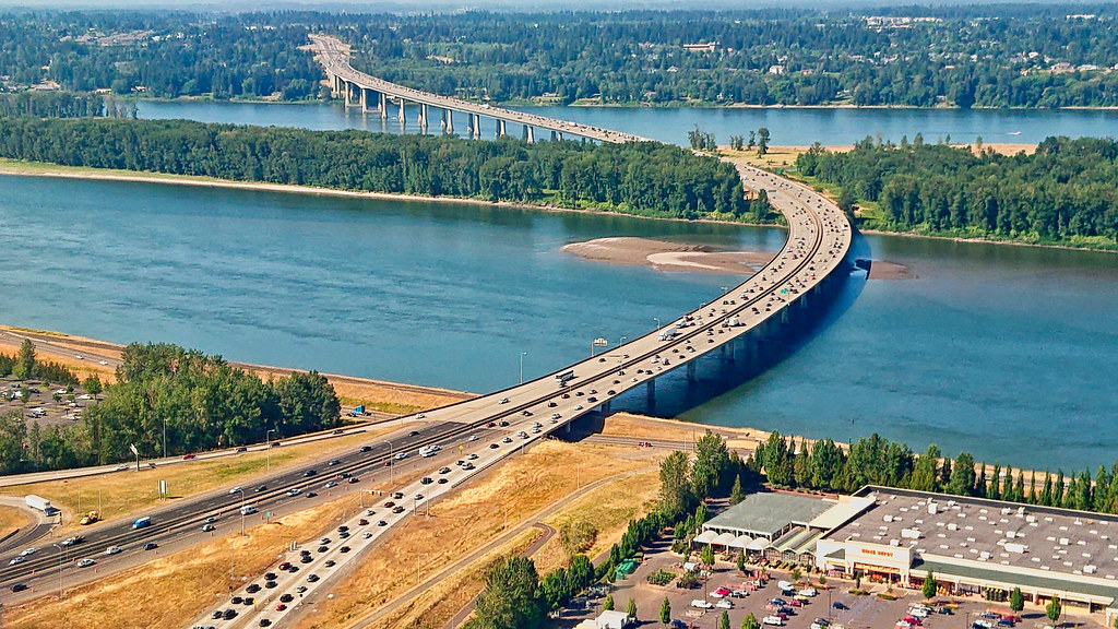
I-205 Bridge from Final Approach to Portland Airport (PDX)
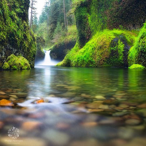
When I first saw an image of this place by Chip Phillips I said to myself I had to get there. When I finally found myself standing there after drawing on my years of map reading and navigation skills and getting through the narrow gorge with chest deep fr
The Columbia River begins its journey in the Canadian Rockies and finds its way down into Washington and Oregon where it flows past the northern slopes of Mt Hood. There are many tributaries flowing off those slopes where high rainfall feeds a lush forest

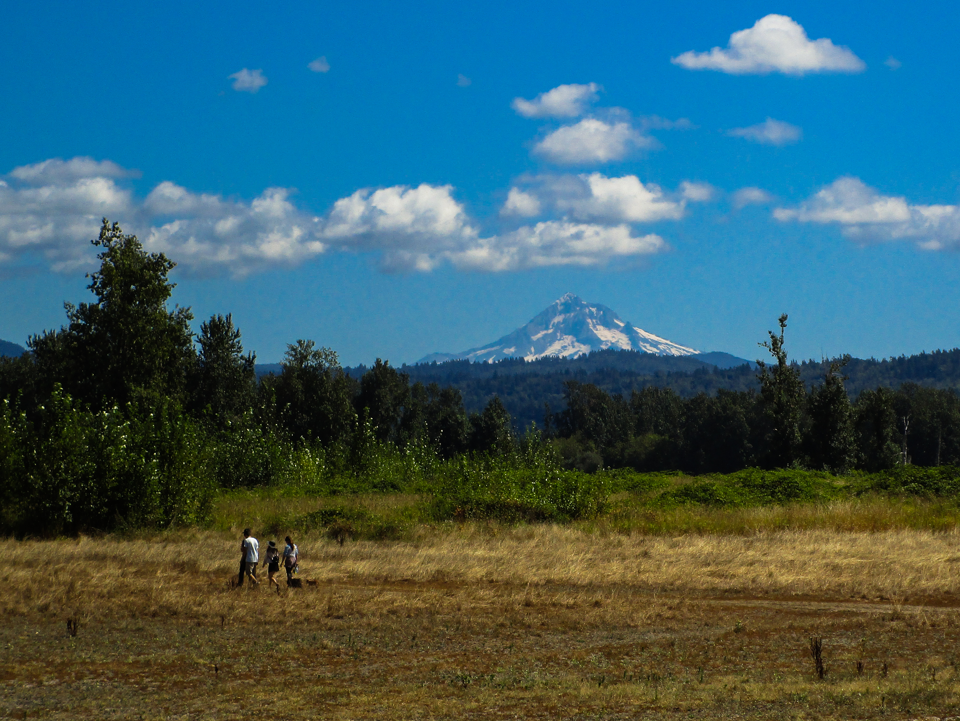
Mt. Hood seen from the top of Powell Butte.

Urban Jungle

Worth Fighting For
DSC_0705 (2)

Wine on the Vine
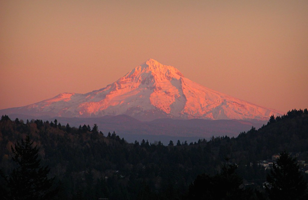
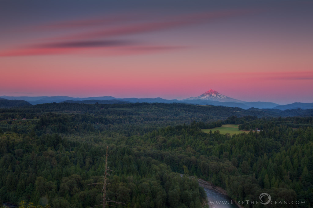
Mt. Hood Pre Sunrise from Jonsrud Viewpoint

Oregon autumn morning

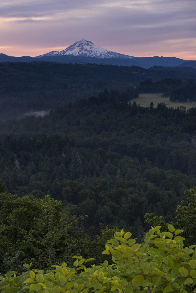
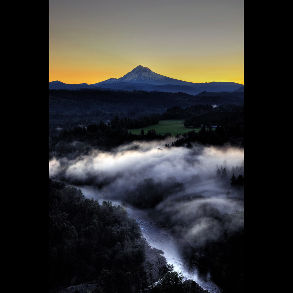
Sunrise, Jonsrud Viewpoint 2013
Walker Creek
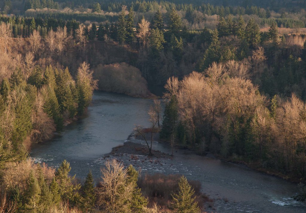
.... Clackamas River, late December morning....
~fairy falls ~
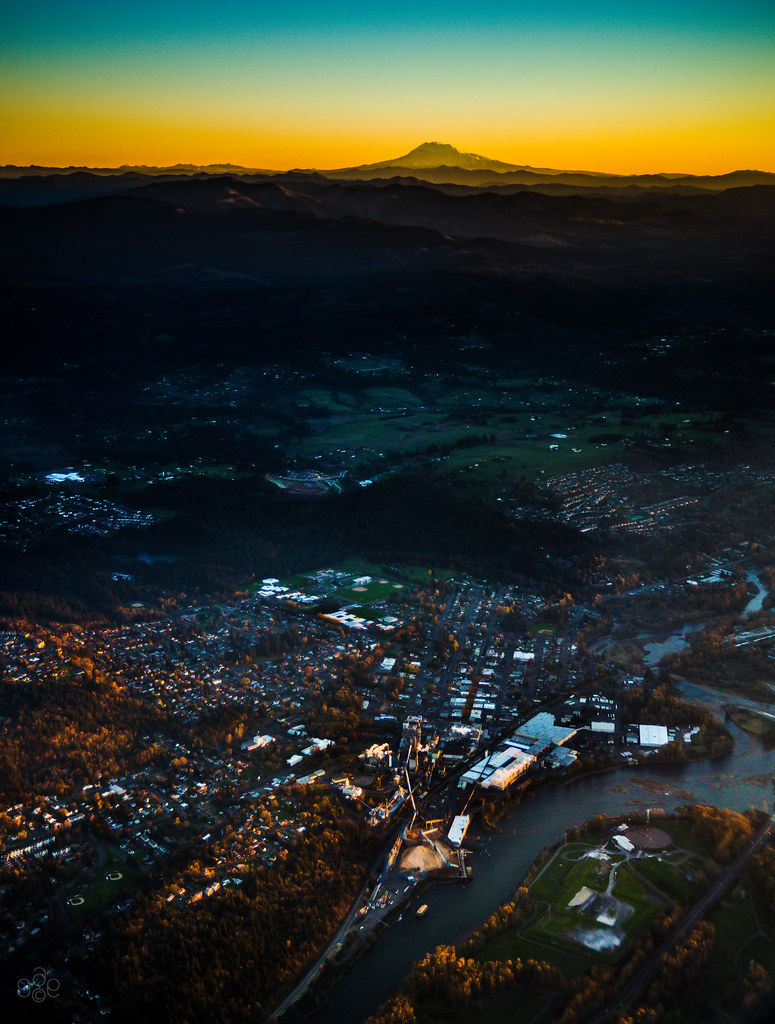
First light of day on Mt Adams and Camas, Washington

Sunset Over The Vinyards
Topographic Map of SE Bohna Park Rd, Damascus, OR, USA
Find elevation by address:

Places near SE Bohna Park Rd, Damascus, OR, USA:
12945 Se 242nd Ave
23165 Se Hoffmeister Rd
Southeast Strawberry Drive
23167 Se Hoffmeister Rd
24454 Se Strawberry Dr
24642 Se Bohna Park Rd
22345 Se Ridgeview Dr
24040 Se Hwy 212
22101 Se Bohna Park Rd
24500 Se Sunshine Valley Rd
21860 Se Lagene St
21800 Se Bohna Park Rd
22445 Se Sharon Dr
22650 Se Naomi Dr
9388 Se Kingswood Way
12993 Se Dream Ln
26775 Or-212
10675 Se Eastmont Dr
297 Se 46th Dr
4183 Se Augusta Loop
Recent Searches:
- Elevation of Groblershoop, South Africa
- Elevation of Power Generation Enterprises | Industrial Diesel Generators, Oak Ave, Canyon Country, CA, USA
- Elevation of Chesaw Rd, Oroville, WA, USA
- Elevation of N, Mt Pleasant, UT, USA
- Elevation of 6 Rue Jules Ferry, Beausoleil, France
- Elevation of Sattva Horizon, 4JC6+G9P, Vinayak Nagar, Kattigenahalli, Bengaluru, Karnataka, India
- Elevation of Great Brook Sports, Gold Star Hwy, Groton, CT, USA
- Elevation of 10 Mountain Laurels Dr, Nashua, NH, USA
- Elevation of 16 Gilboa Ln, Nashua, NH, USA
- Elevation of Laurel Rd, Townsend, TN, USA