Elevation of Saxis, VA, USA
Location: United States > Virginia > Accomack County > >
Longitude: -75.721874
Latitude: 37.9240145
Elevation: 2m / 7feet
Barometric Pressure: 101KPa
Elevation Map:
Satellite Map:
Related Photos:
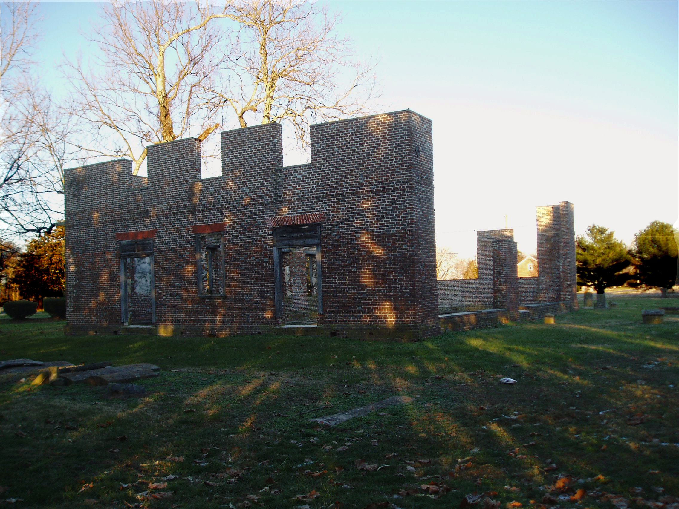
Coventry Parish Church ruins
The Changing Face of Crisfield
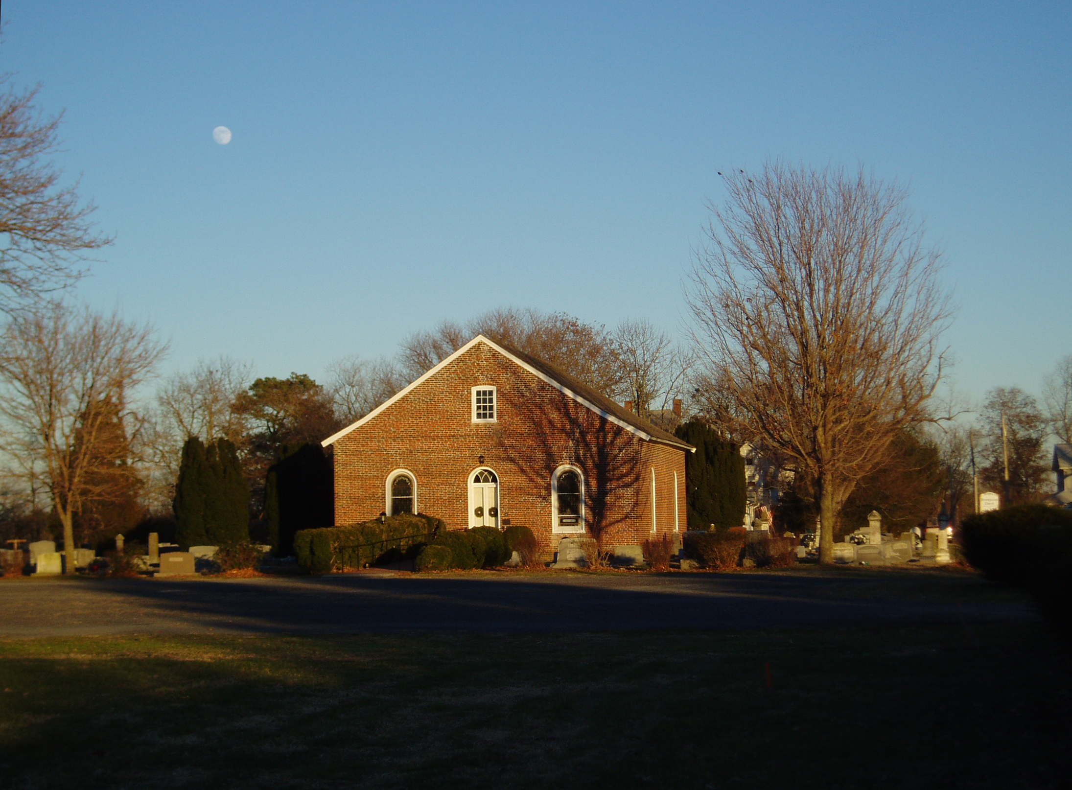
Rehobeth Presbyterian Church, 1706

Gull's eye view of Crisfield

Eastern Mud Turtle
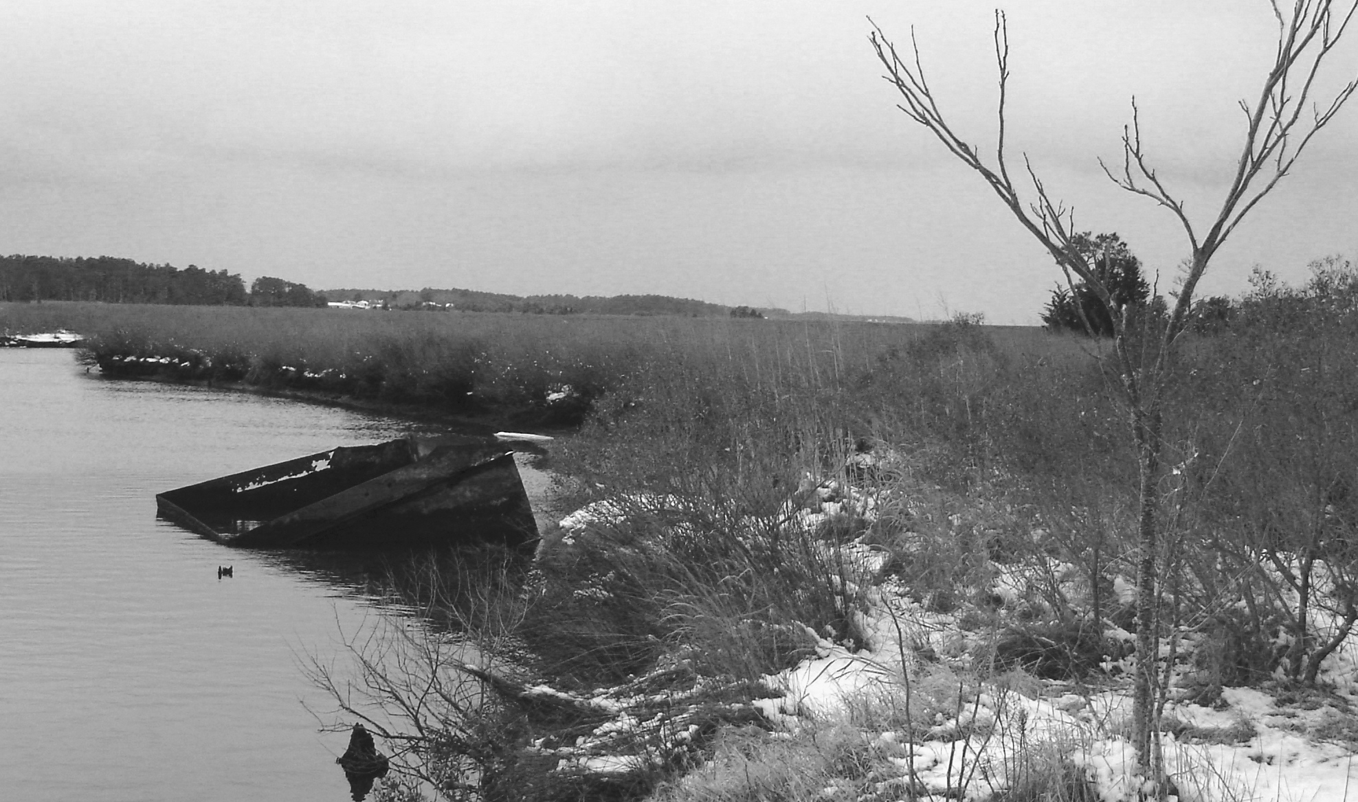
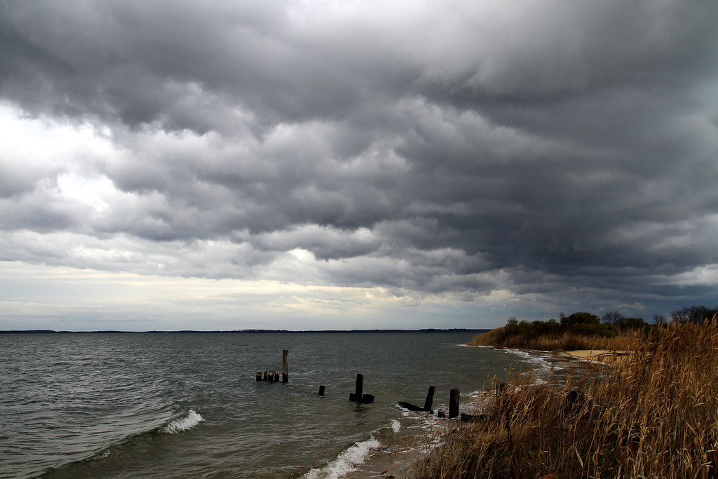
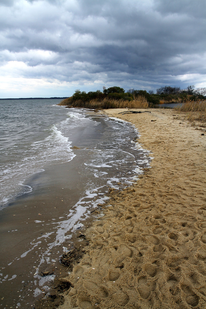
Parker's Creek, Virginia
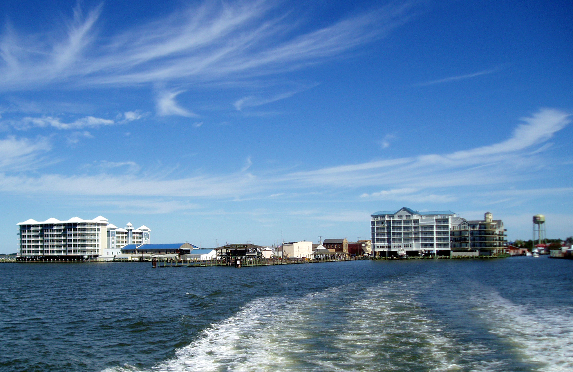
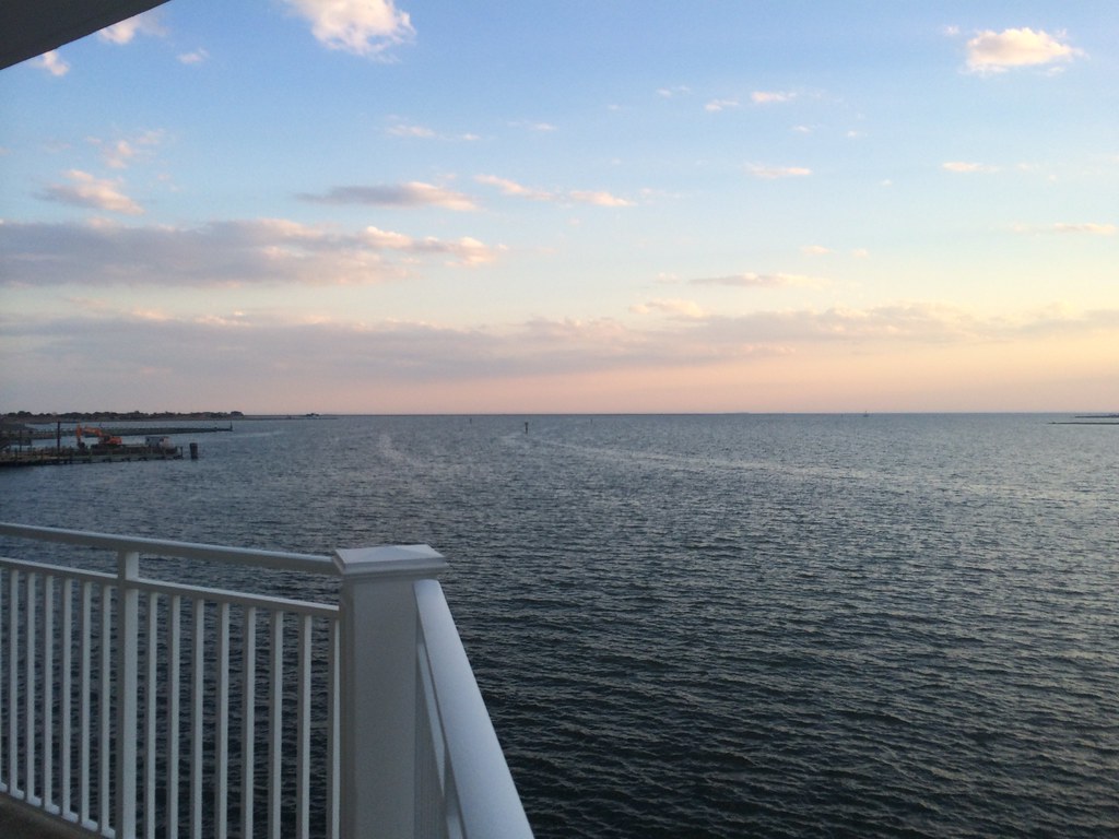
View across Somers Cove

2014-04-26 19.23.24
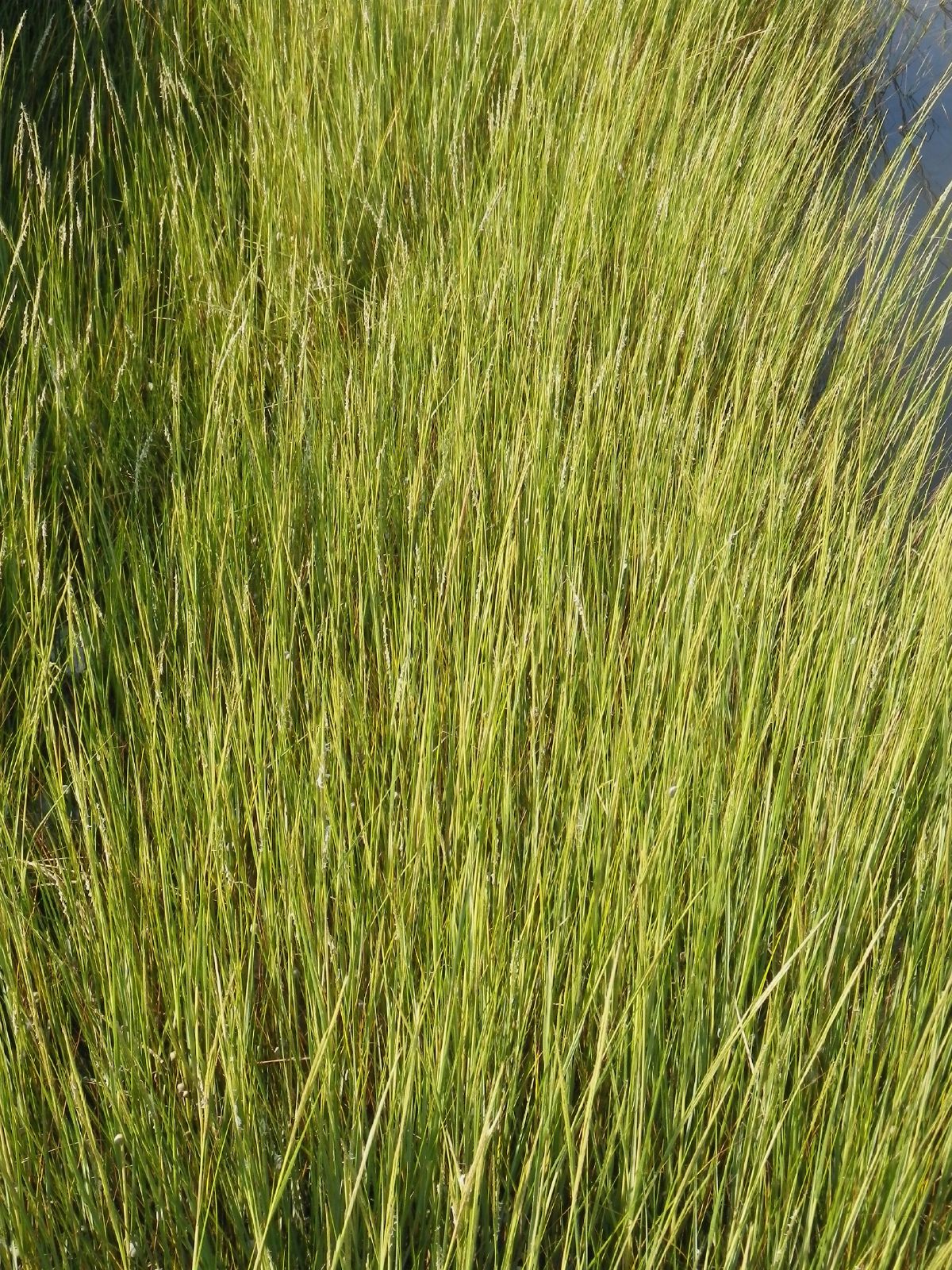
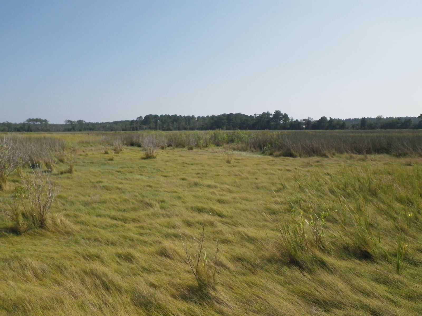
Grass 2
2014-04-26 19.39.38

Accohannock Pow Wow 2011 - Marion Station, MD

Flight over reeds
2014-04-26 19.25.26
2014-04-26 19.23.13
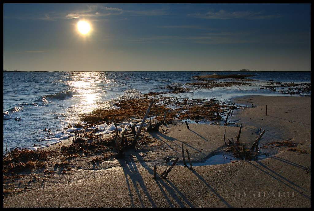
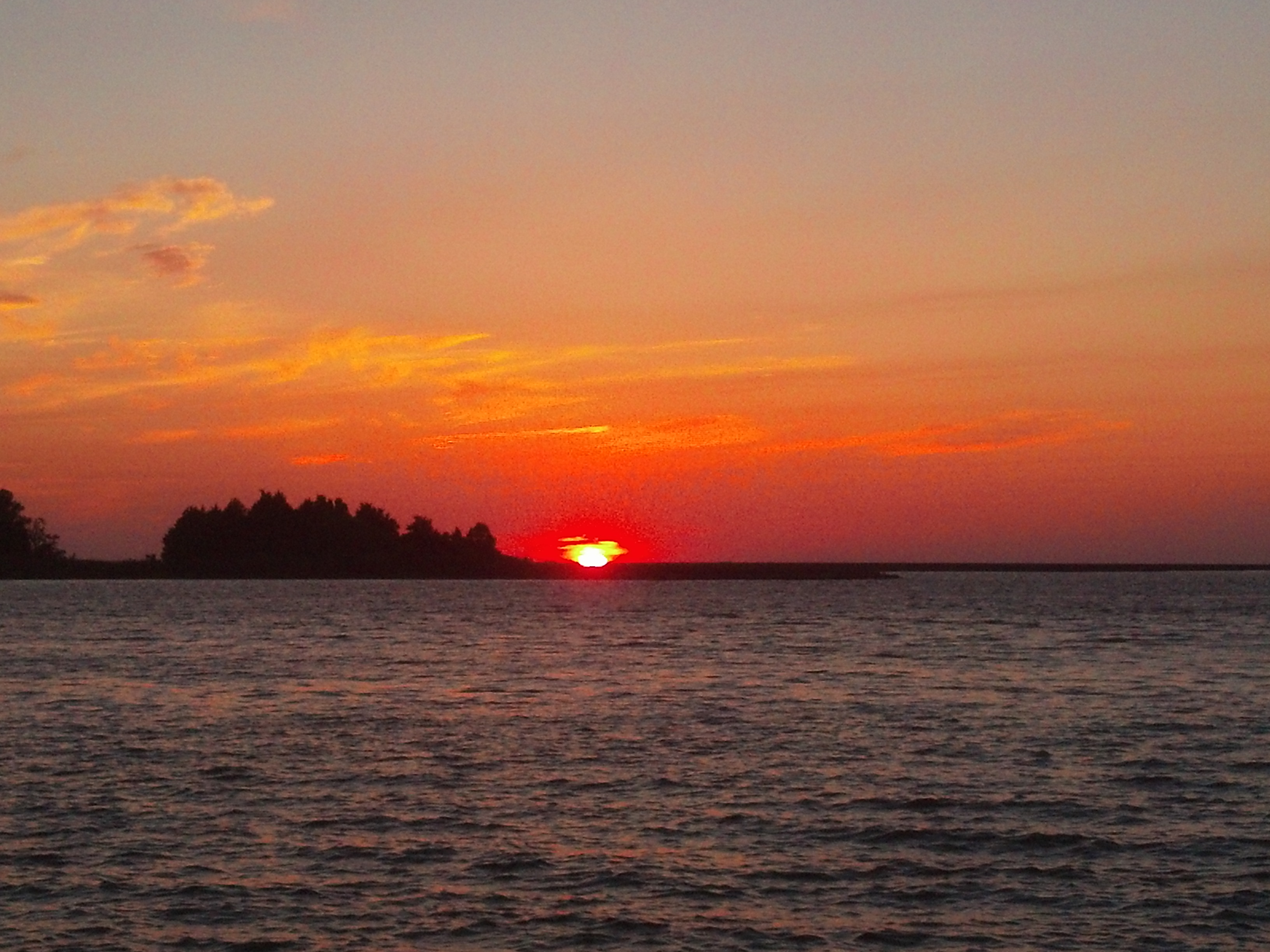
Long Point Shadows
Saxis Virginia
Crisfeild Sun Salutation
Smooth cordgrass
Crisfeild Sun Salutation
Crisfield City dock-2
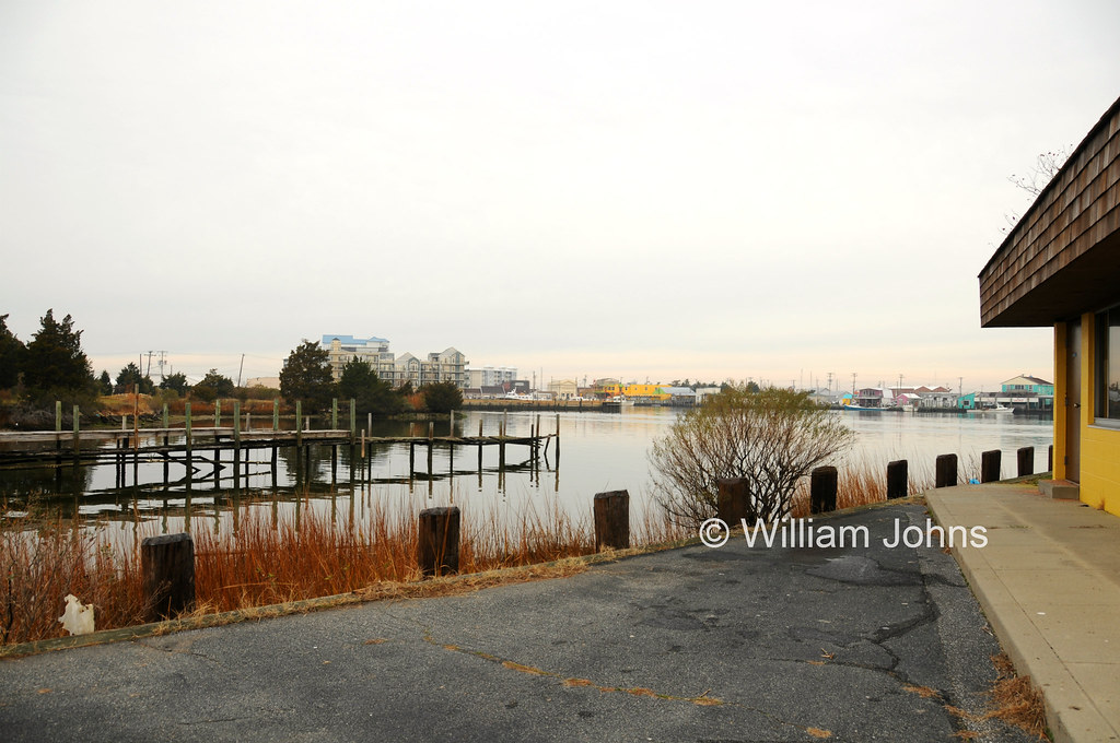
Saxis Virginia
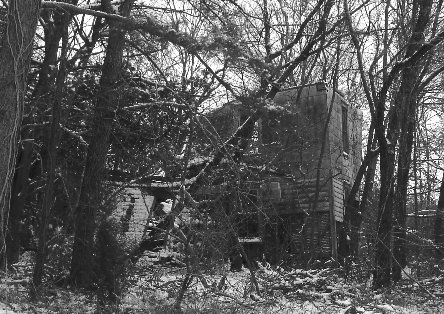
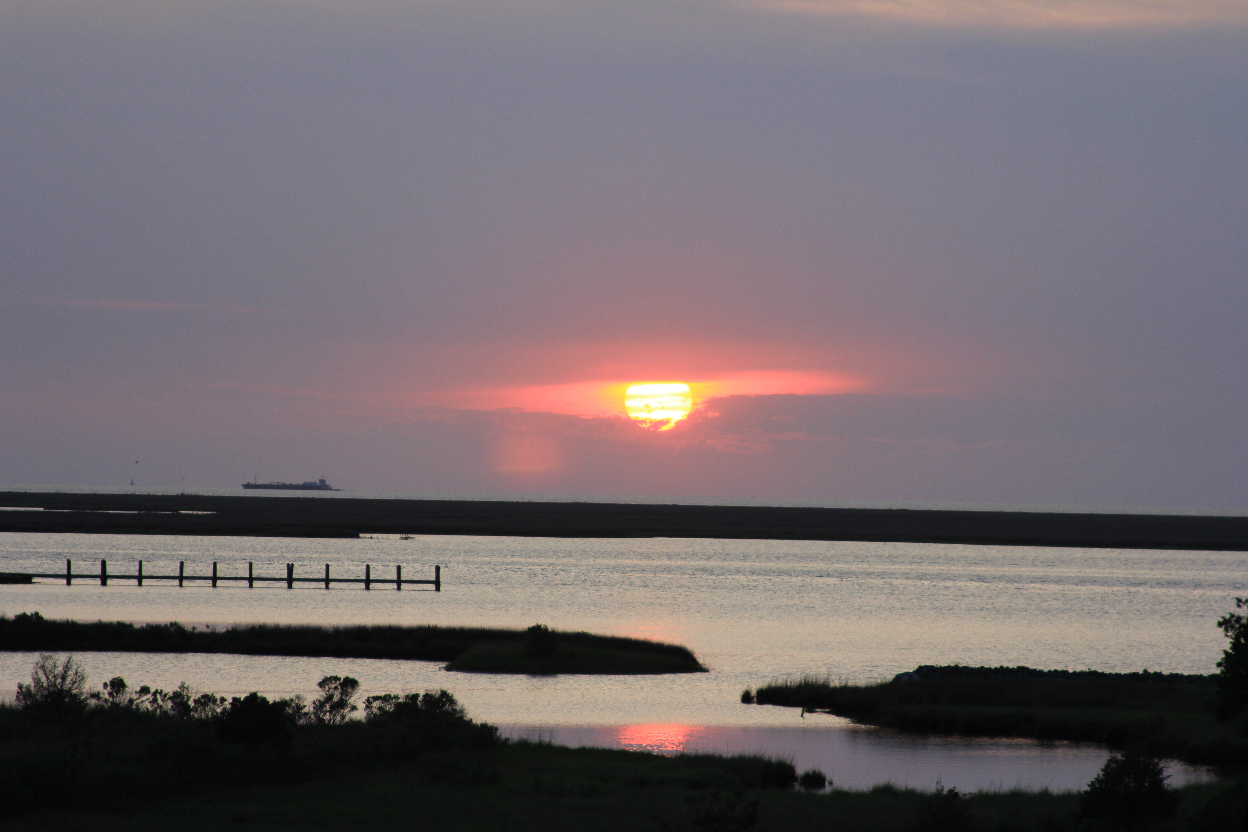
Near Justisville, Virginia
Saltmarsh zonation
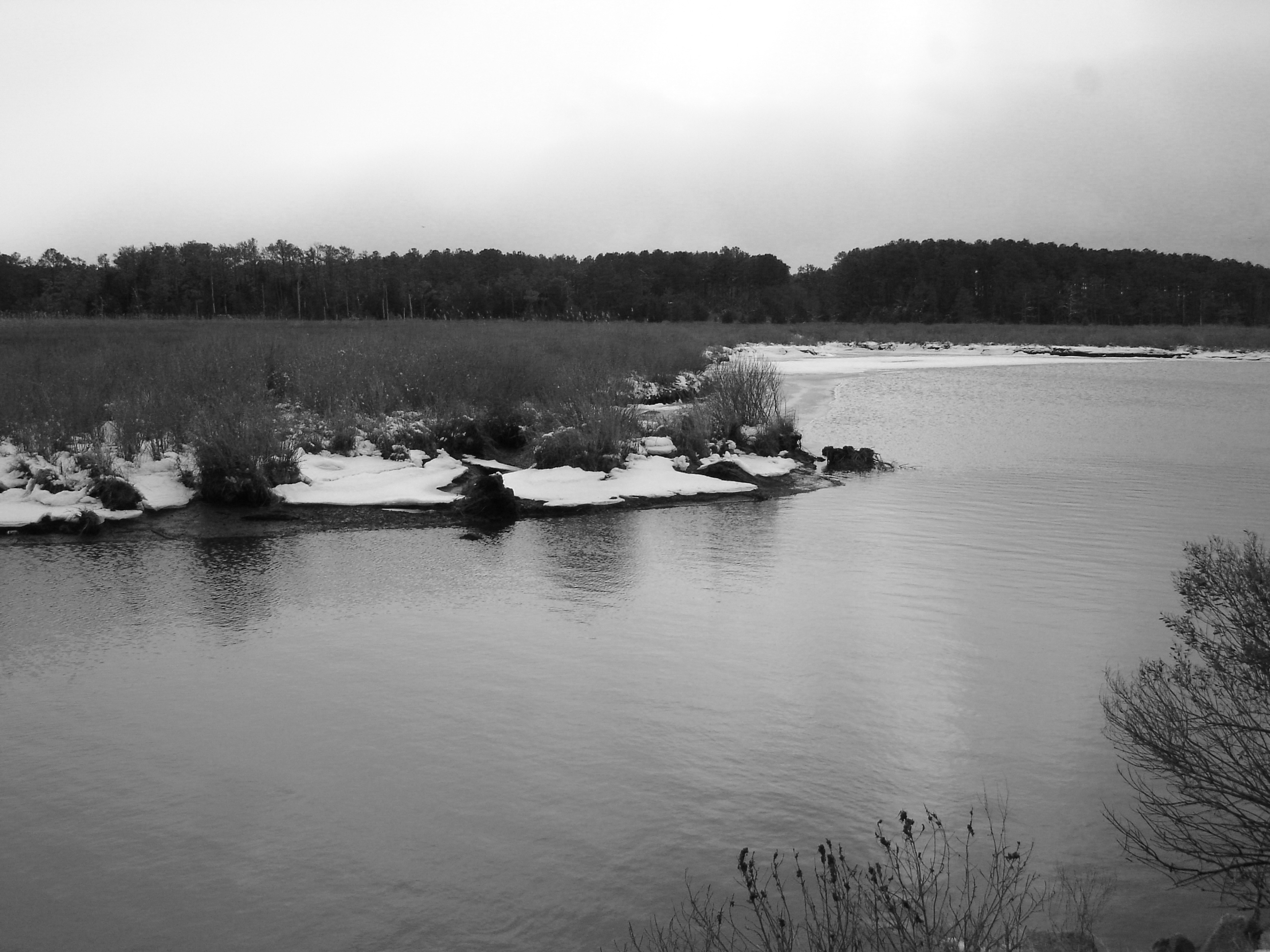
Parker's Creek
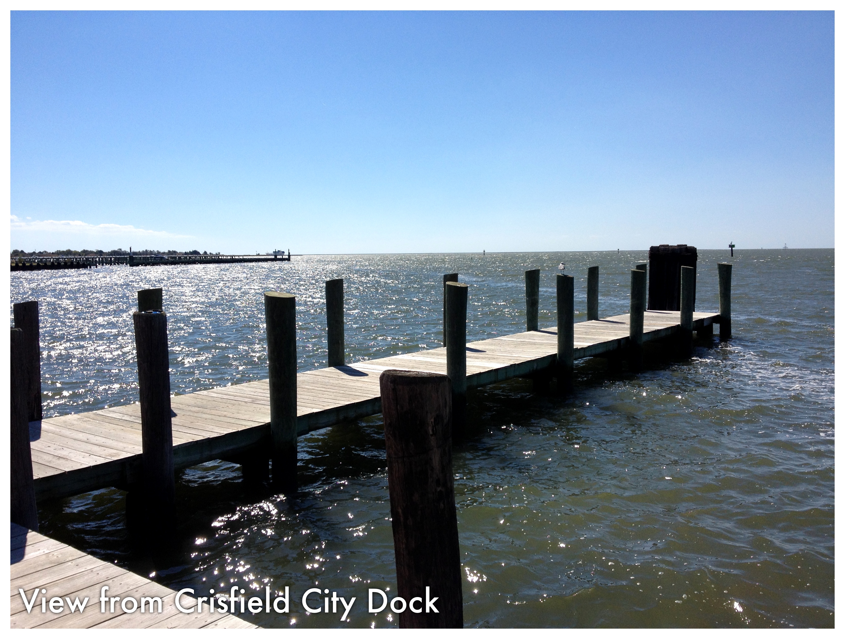
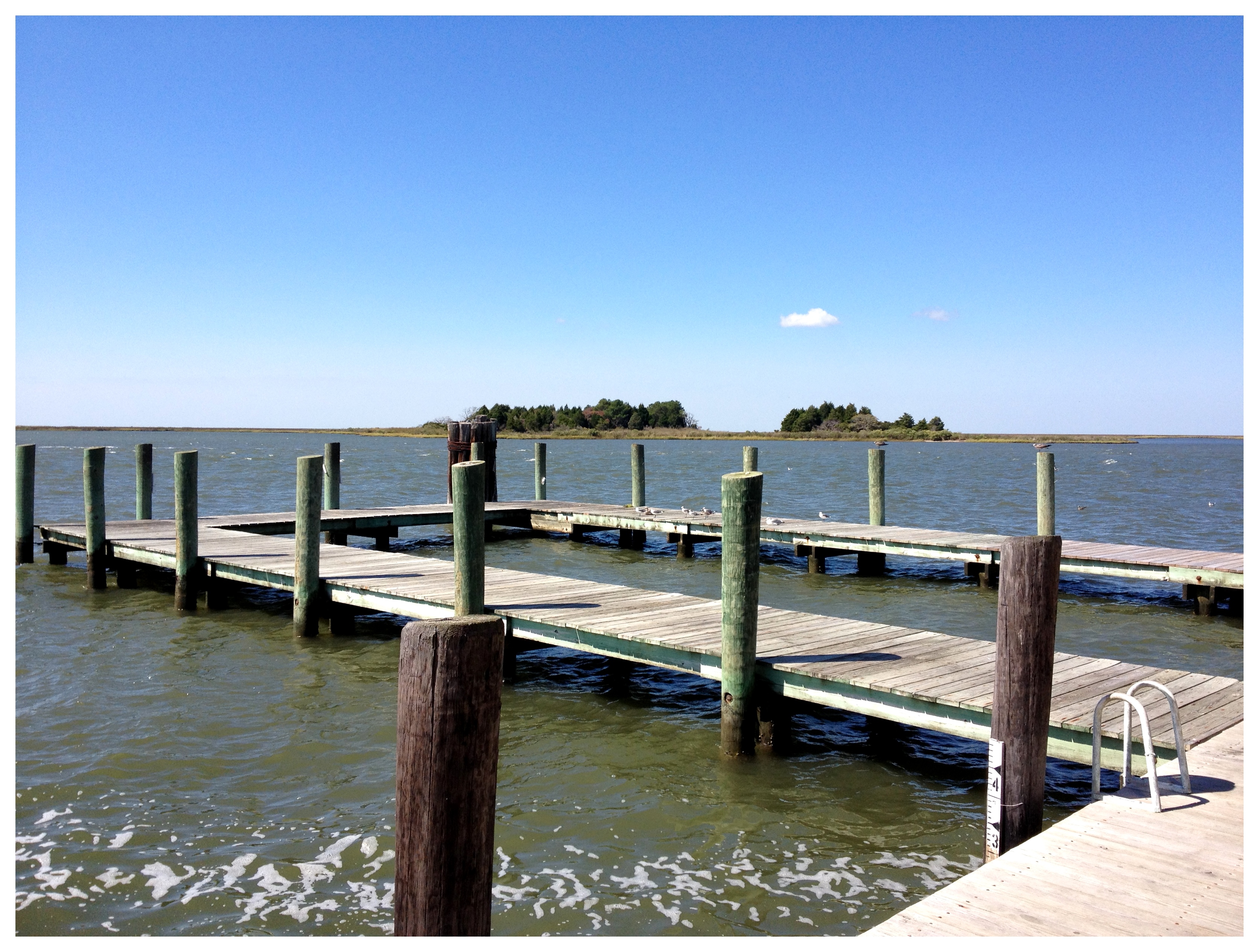
Crisfield City dock-1
Somers Cove Swim Lessons
Topographic Map of Saxis, VA, USA
Find elevation by address:

Places in Saxis, VA, USA:
Places near Saxis, VA, USA:
Saxis Rd, Saxis, VA, USA
Williams Point Rd, Marion Station, MD, USA
4, VA, USA
Ape Hole Rd, Crisfield, MD, USA
2821 Ape Hole Rd
2900 Byrdtown Rd
Anns Cove Rd, Bloxom, VA, USA
24170 Anns Cove Rd
16300 Big Rd
21367 Hopkins Rd
Tylers Cove Is, Crisfield, MD, USA
17120 Big Rd
Bloxom
Bethel Church Rd, Bloxom, VA, USA
12, Asbury
14383 Bethel Church Rd
22628 Lee Mont Rd
28258 Groton Town Rd
2, VA, USA
Dunne Ave, Parksley, VA, USA
Recent Searches:
- Elevation of Elwyn Dr, Roanoke Rapids, NC, USA
- Elevation of Congressional Dr, Stevensville, MD, USA
- Elevation of Bellview Rd, McLean, VA, USA
- Elevation of Stage Island Rd, Chatham, MA, USA
- Elevation of Shibuya Scramble Crossing, 21 Udagawacho, Shibuya City, Tokyo -, Japan
- Elevation of Jadagoniai, Kaunas District Municipality, Lithuania
- Elevation of Pagonija rock, Kranto 7-oji g. 8"N, Kaunas, Lithuania
- Elevation of Co Rd 87, Jamestown, CO, USA
- Elevation of Tenjo, Cundinamarca, Colombia
- Elevation of Côte-des-Neiges, Montreal, QC H4A 3J6, Canada