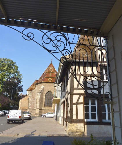
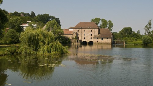
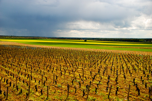
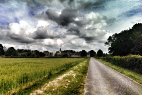
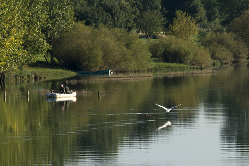
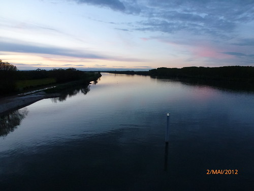
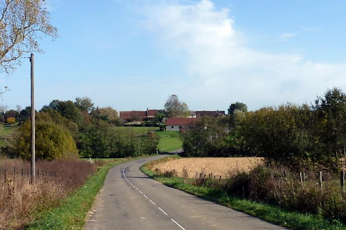
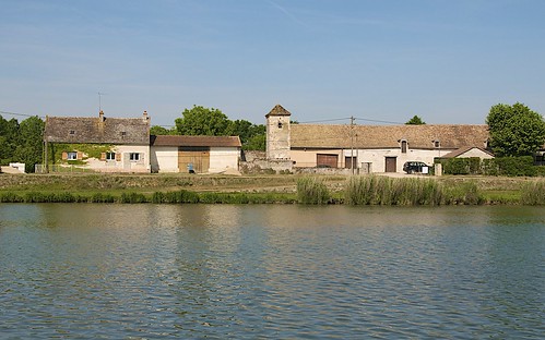
Elevation of Savigny-sur-Seille, France
Location: France > Bourgogne-franche-comté > Saône-et-loire >
Longitude: 5.106418
Latitude: 46.623485
Elevation: 196m / 643feet
Barometric Pressure: 99KPa
Related Photos:
Topographic Map of Savigny-sur-Seille, France
Find elevation by address:

Places in Savigny-sur-Seille, France:
Places near Savigny-sur-Seille, France:
Bantanges
Rue du Bourg, Bantanges, France
14 À Copin, Savigny-sur-Seille, France
Ménetreuil
Chemin de la Maraude, Ménetreuil, France
Route des Renaules, Ménetreuil, France
Branges
Jouvençon
15 Chemin de l'Église, Jouvençon, France
Juif
Route des Liets, Branges, France
Montpont-en-bresse
60 Champ de la Maison, Juif, France
Baudrières
Les Terres de la Chavonnai, Montpont-en-Bresse, France
La Brosse, Romenay, France
41 Rue des Chevanys, Baudrières, France
Romenay
Bruailles
Route de Marcilly, Bruailles, France
Recent Searches:
- Elevation of Vista Blvd, Sparks, NV, USA
- Elevation of 15th Ave SE, St. Petersburg, FL, USA
- Elevation of Beall Road, Beall Rd, Florida, USA
- Elevation of Leguwa, Nepal
- Elevation of County Rd, Enterprise, AL, USA
- Elevation of Kolchuginsky District, Vladimir Oblast, Russia
- Elevation of Shustino, Vladimir Oblast, Russia
- Elevation of Lampiasi St, Sarasota, FL, USA
- Elevation of Elwyn Dr, Roanoke Rapids, NC, USA
- Elevation of Congressional Dr, Stevensville, MD, USA
