Elevation of Saukre, Lo Manthang, Nepal
Location: Nepal > Western Region > Dhawalagiri > Lo Manthang >
Longitude: 83.8962459
Latitude: 29.1205386
Elevation: 3808m / 12493feet
Barometric Pressure: 63KPa
Elevation Map:
Satellite Map:
Related Photos:
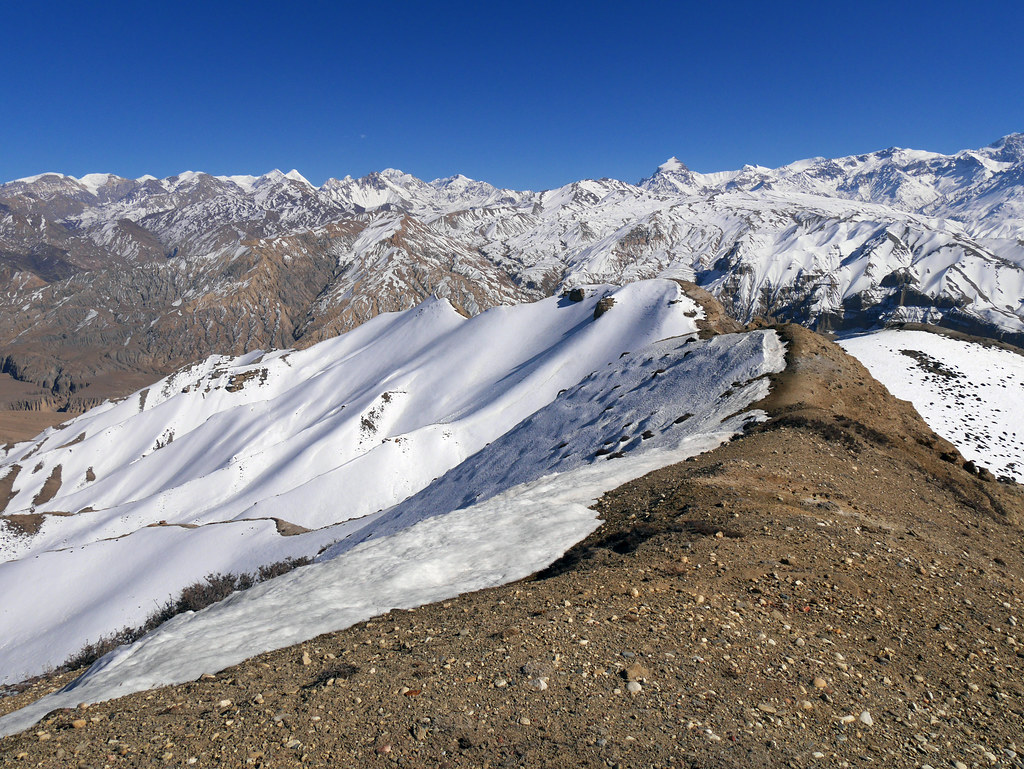
Marang La (4 230 m)
View on Tsarang from Ghar Gompa
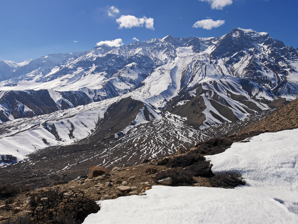
View on Annapurna I, Tilicho and Nilgiri

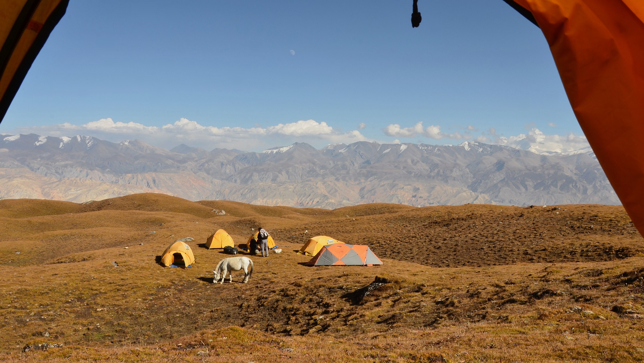
Horse back ride north of Lo Manthang

View from Jhong Cave
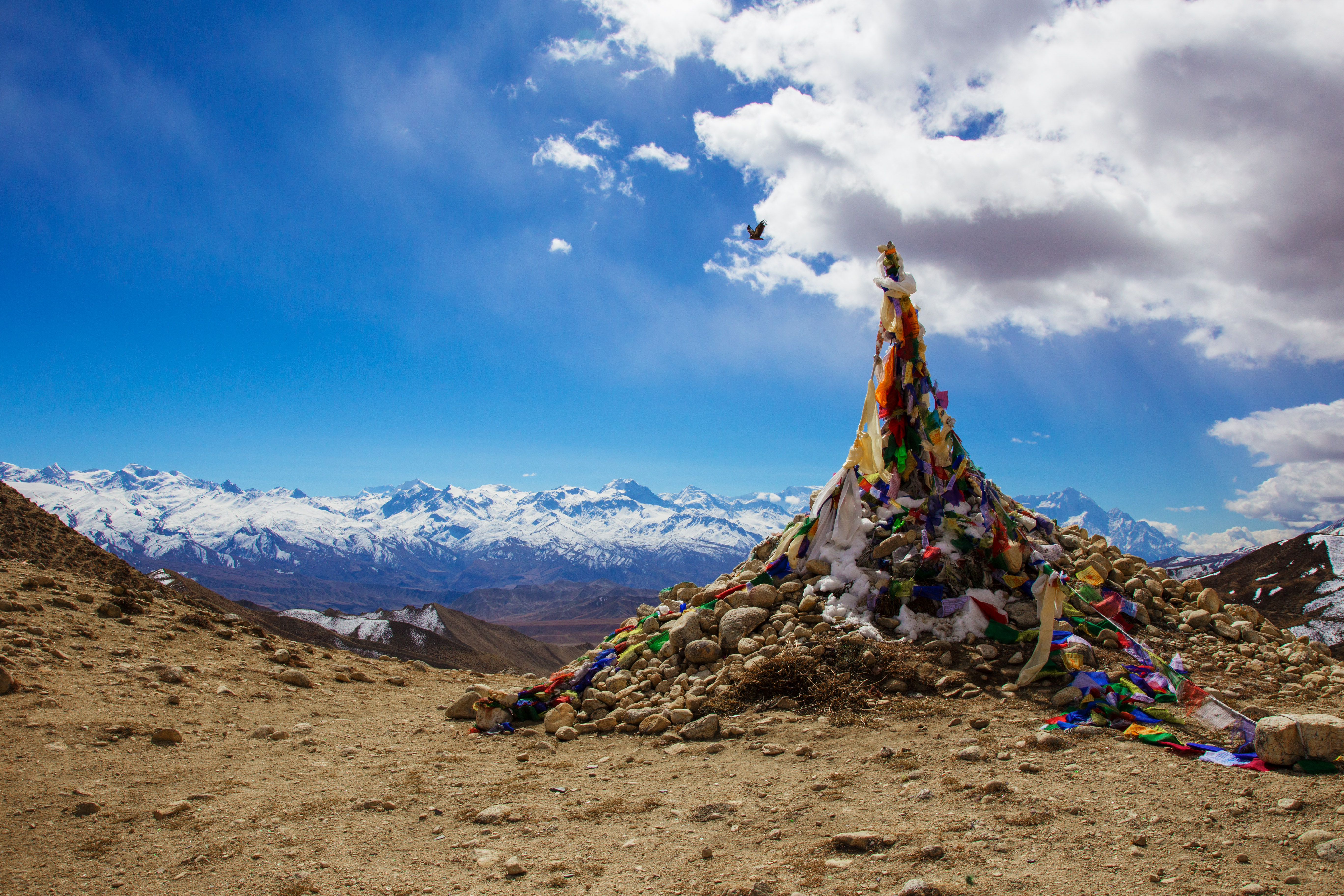
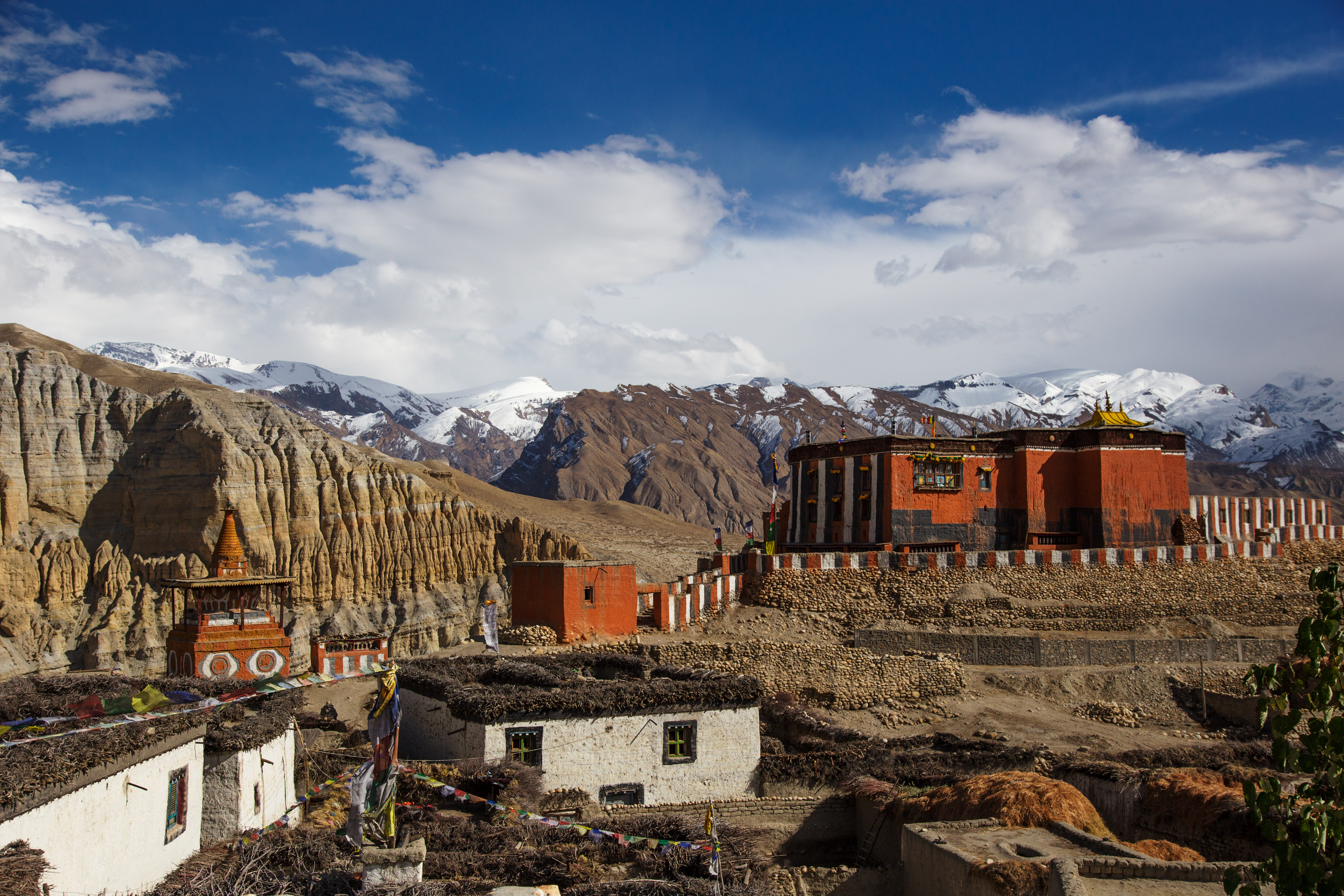
Mustang_1347 Prayer flags on ruined old palace

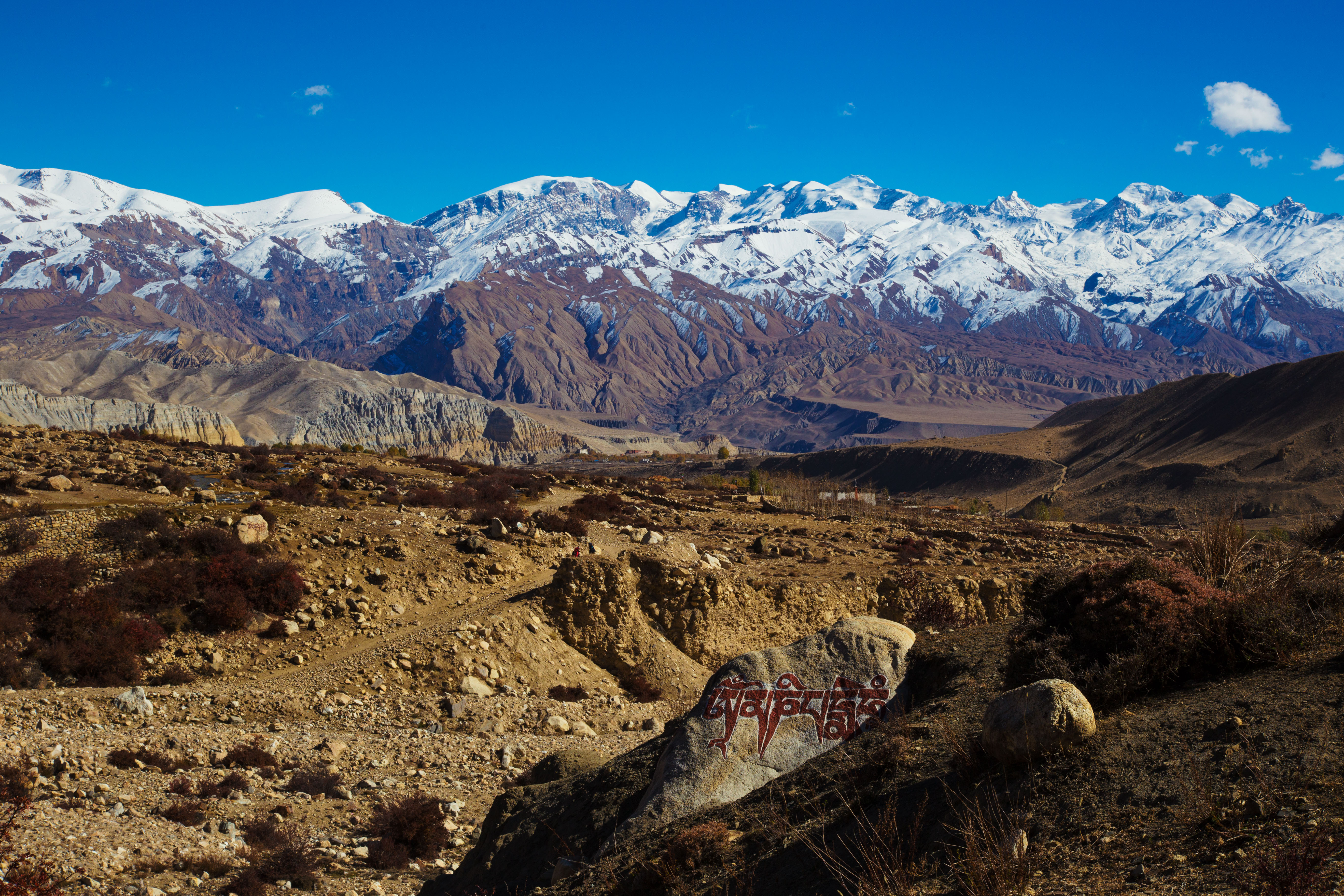
Mustang_1255 North-west Mustang, from near the Amka La

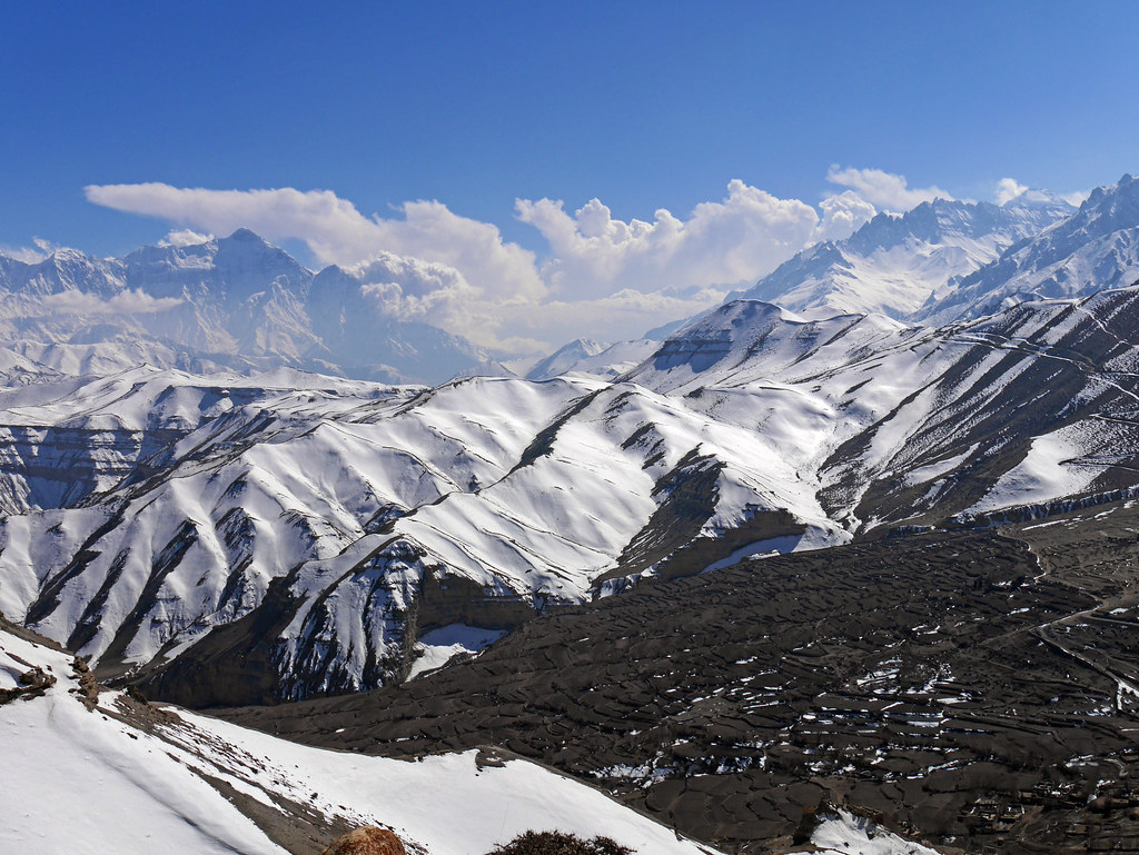
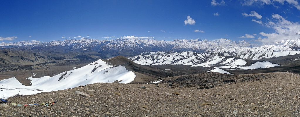
Mustang_2432 Panorama of Upper Mustang from Dhi to Lo Manthang trail
View over eastern Mustang
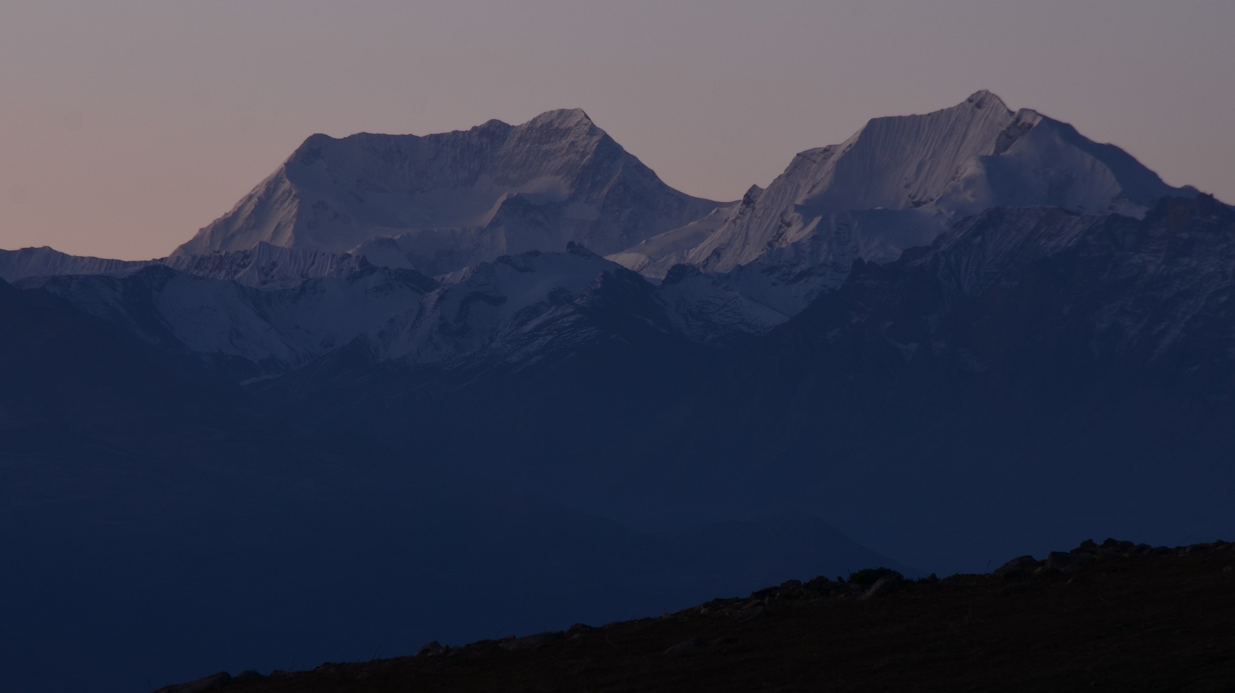
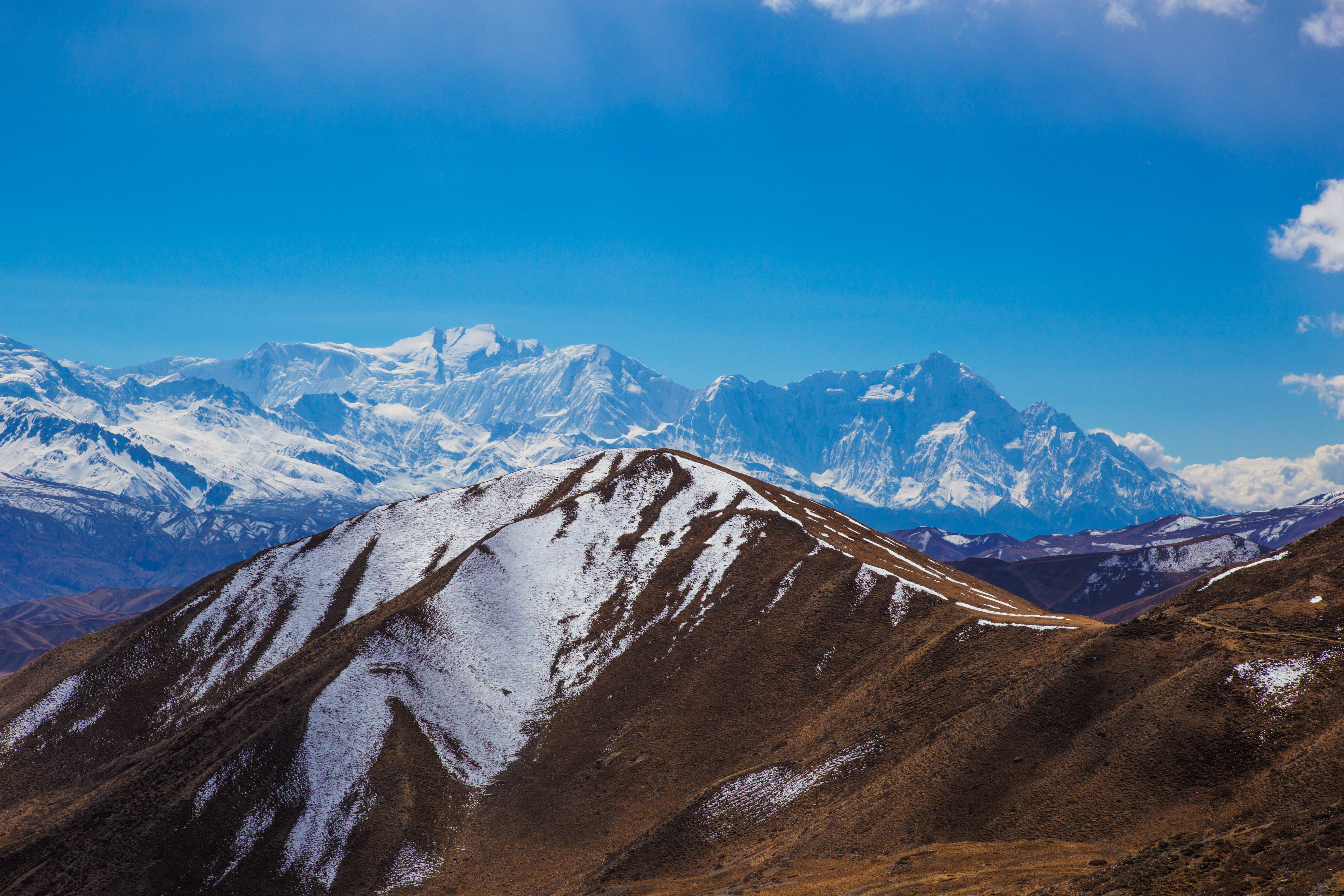
Annapurna II and Putrun Himal
Lo Manthang Skyline, Mustang
Mustang_1133 View to south from above Geling

Mustang_1484 Eastern Mustang, from near Syanboche
Mustang_1131 Peaks overlooking Syanboche and Geling
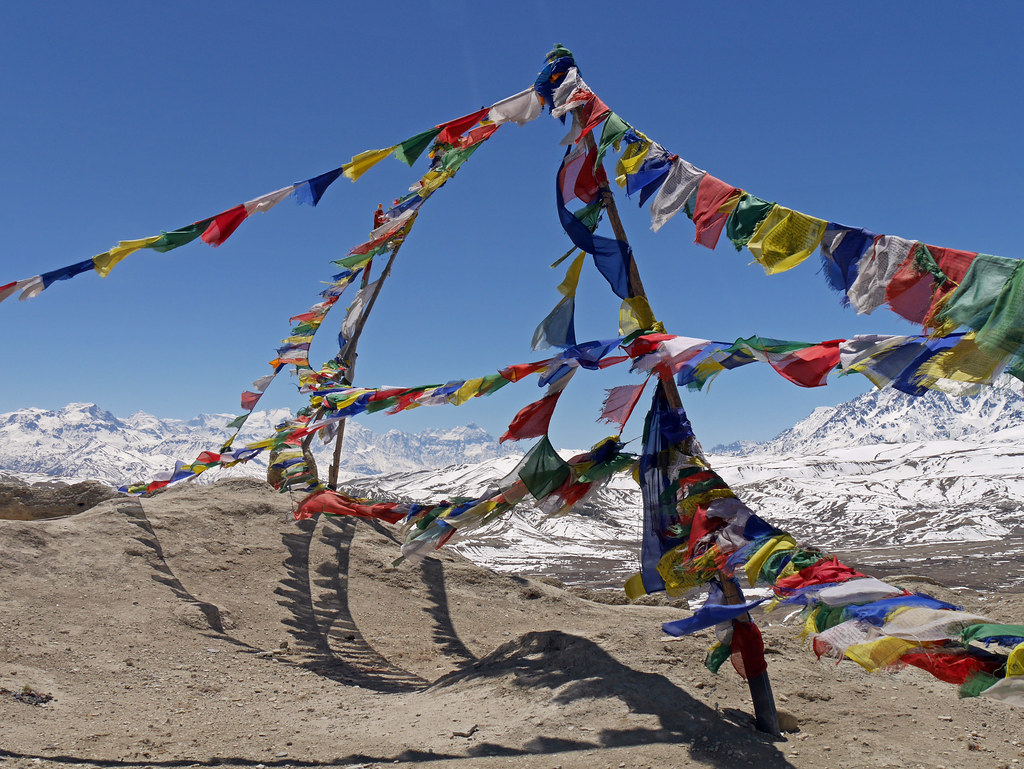
Mustang_2640 Panorama from near the Mui La

Mustang_1356 Chogo La (Lo Manthang to Lo Gekar)
Mustang_1134 Ridge above Geling
Mustang_1283 Chaka Khola (the route to Chodzong Gompa)
Mustang_2437 Dhi to Lo Manthang
Mustang_1286 View to south-east from Lo La
Mustang_1280 Dhi to Lo Manthang
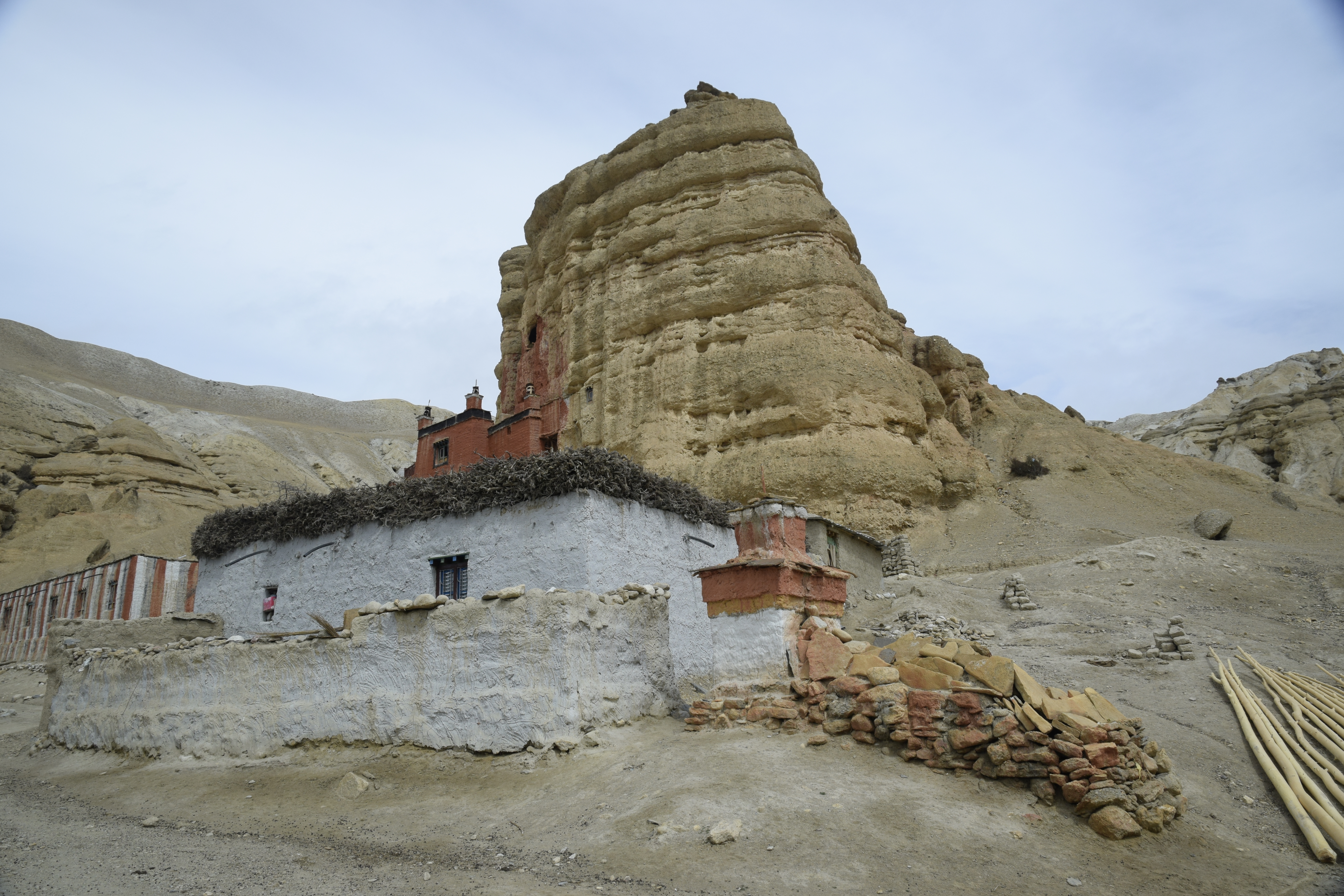
Monastery Chhoser 33100, Népal

Tsarang fortress in Upper Mustang
Tsarang Gompa

Towards Garphu and Chhoser near Bangka Danda

Lhatos or "God Places" in Nenyul
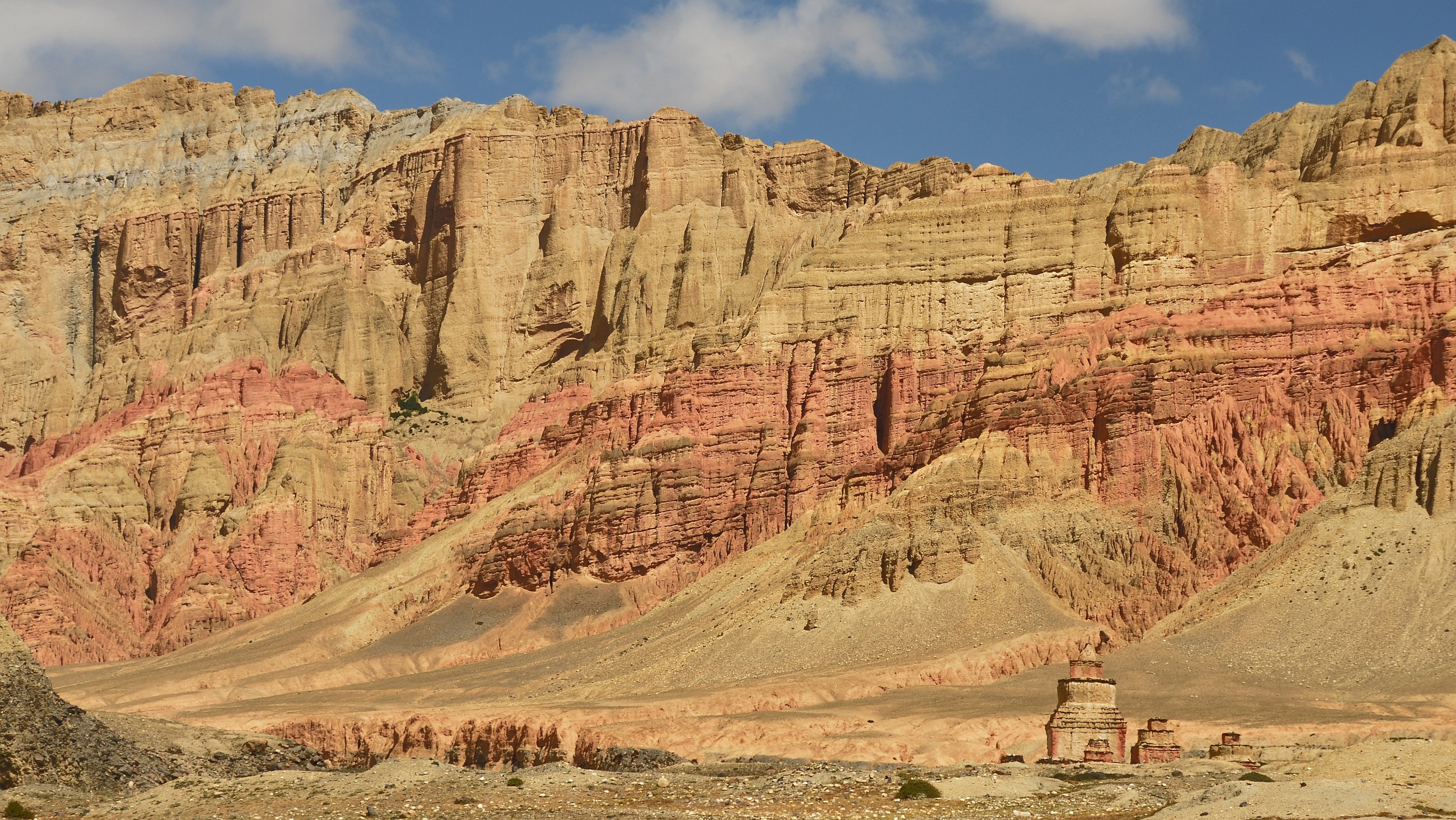
Blood of the ogress, Drakmar
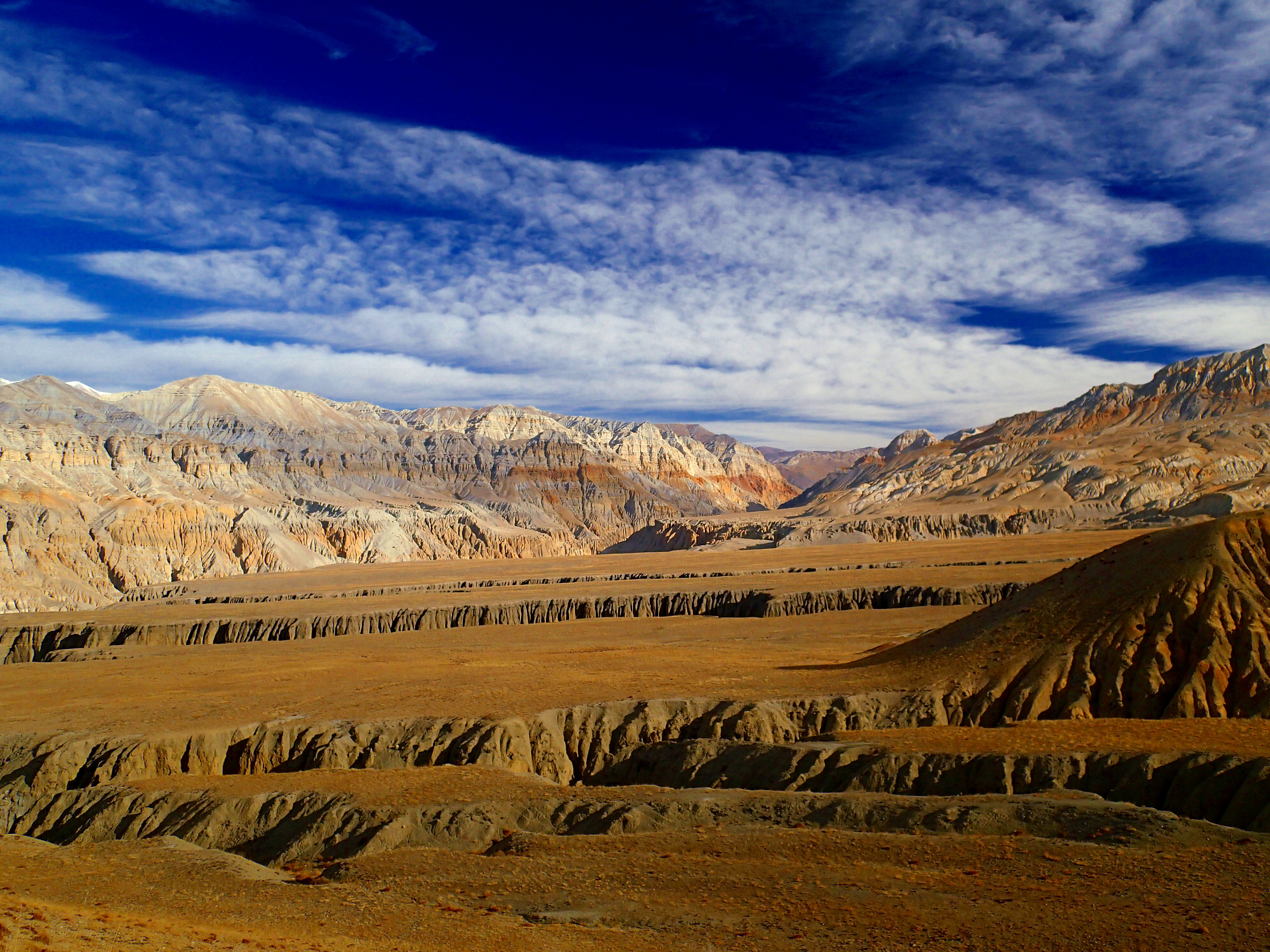
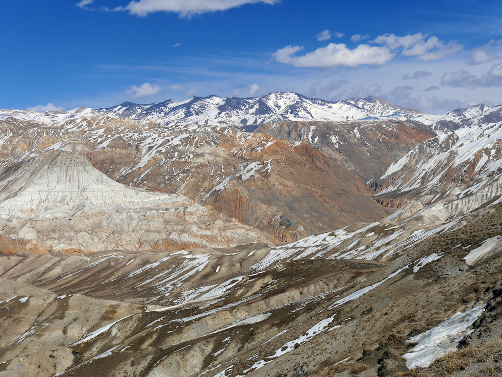
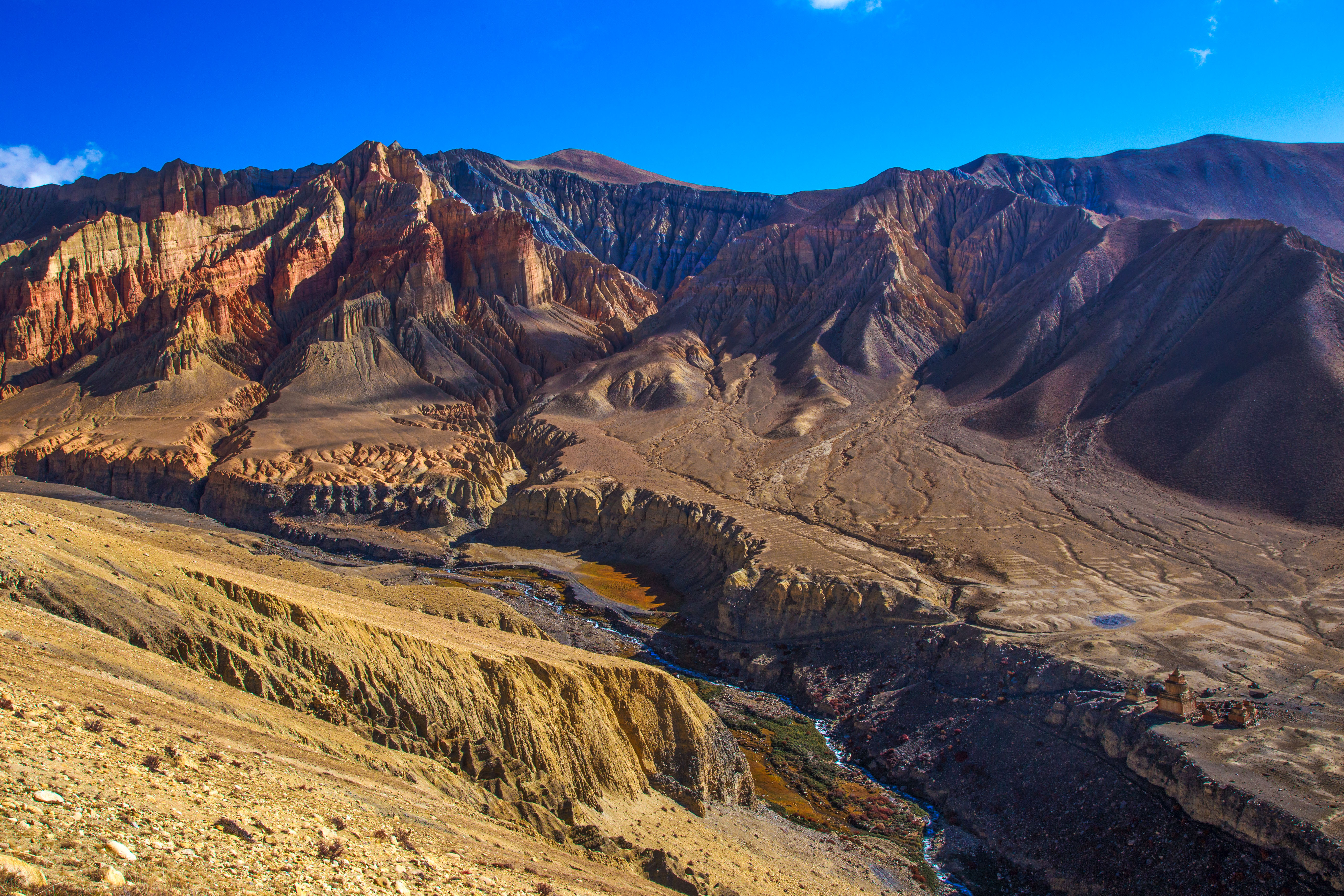
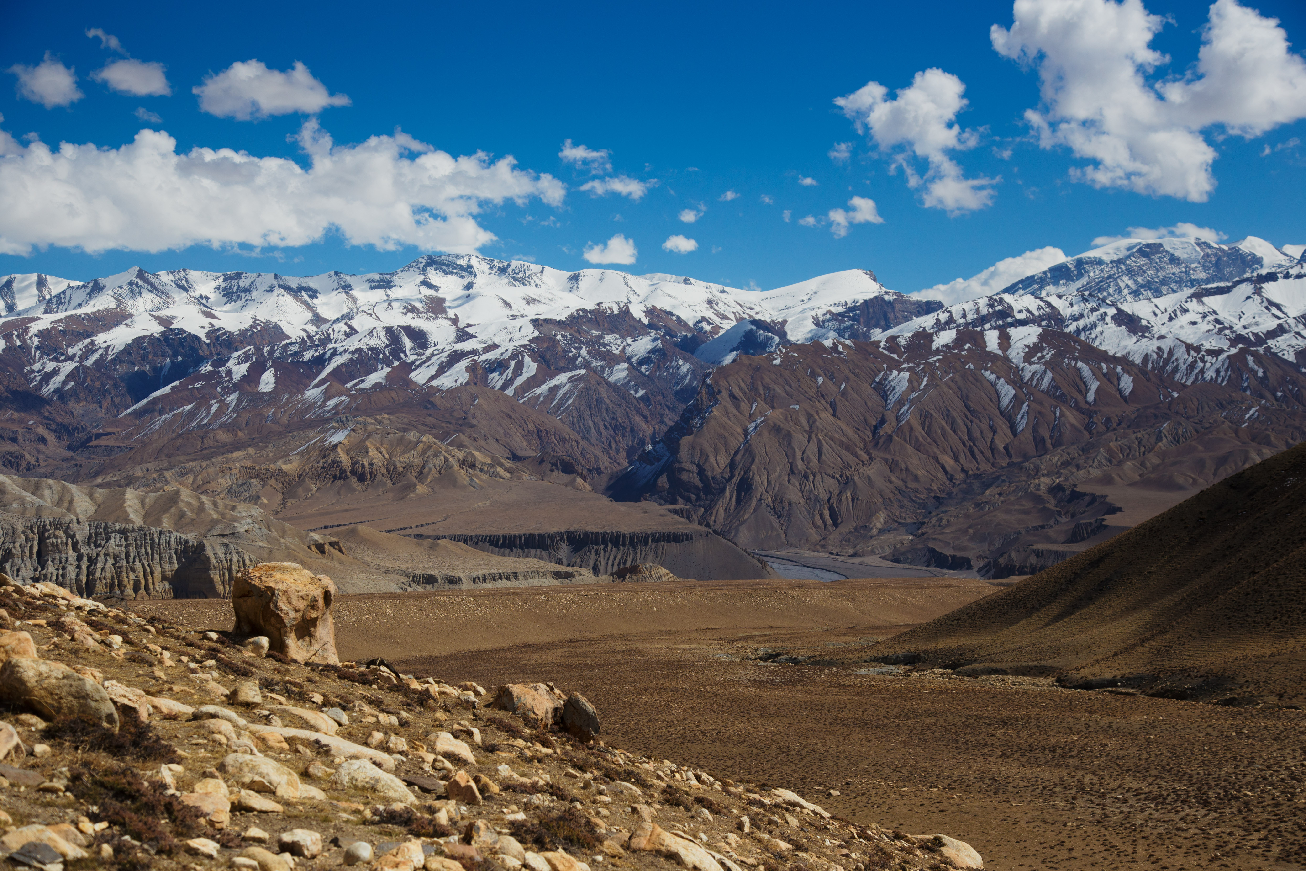
Plateaus in Mustang
Chorten on way to Choya La pass

Annapurna range from mustang
Garphu at the entrance of the Chhoser valley

Approaching the mythical red cliffs of Drakmar
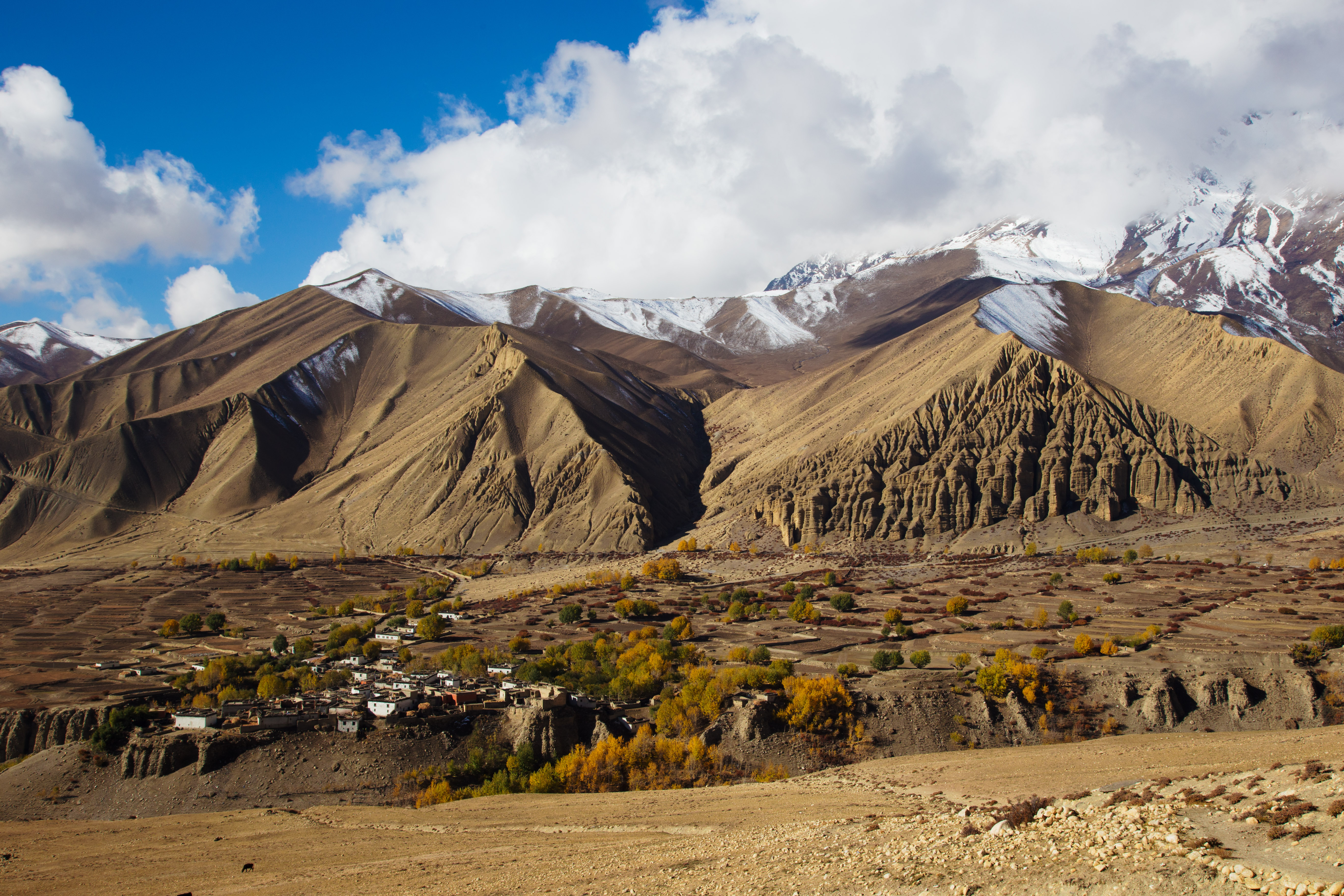
Ghami, Mustang’s third largest town

The Tsarang Khola gorge, between Marang and Tsarang
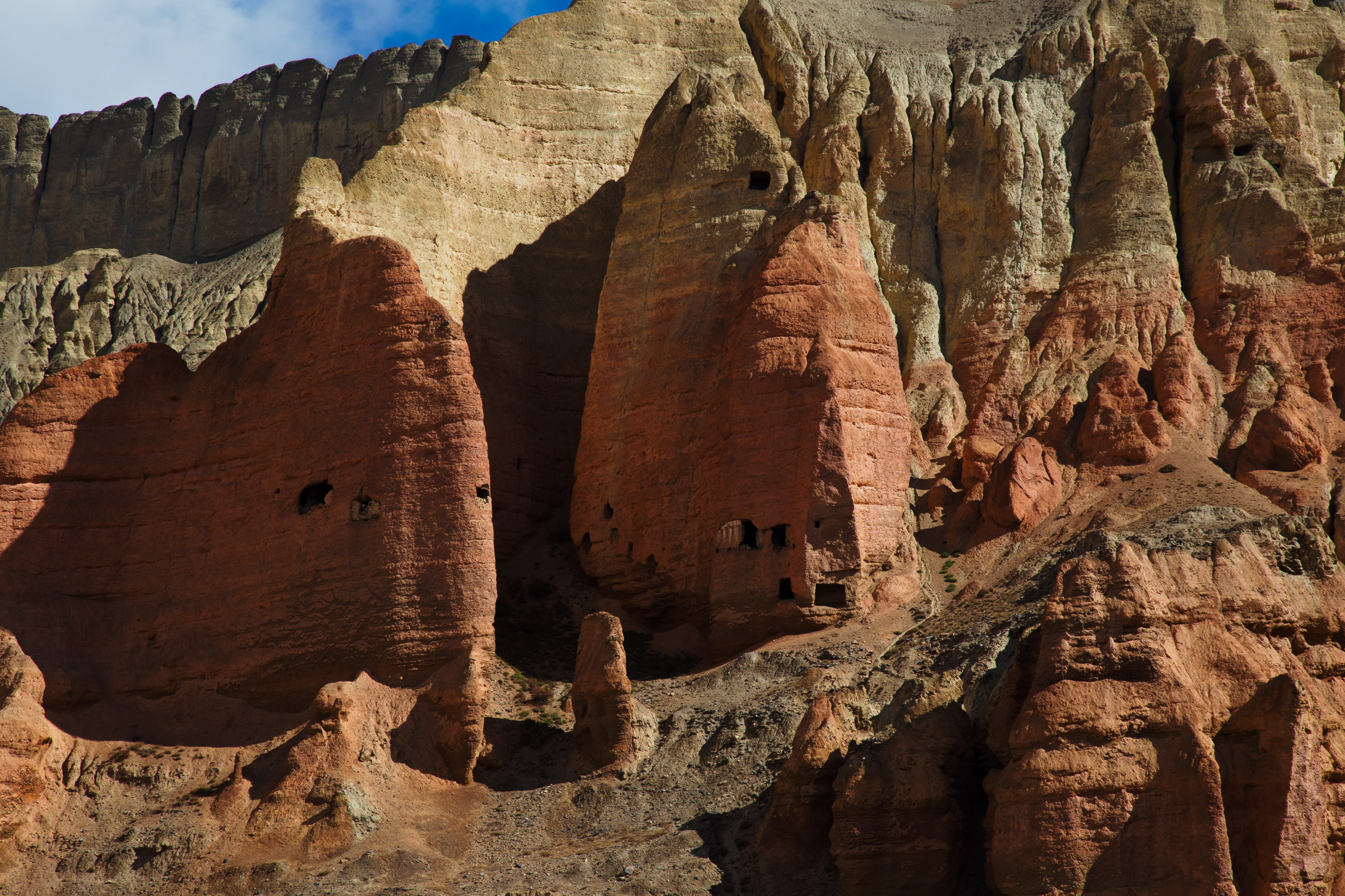
Shrines burrowed into the very blood of the ogress, Drakmar
First steps in the Kingdom of Lo
Chörten at the entrance of the village of Garphu
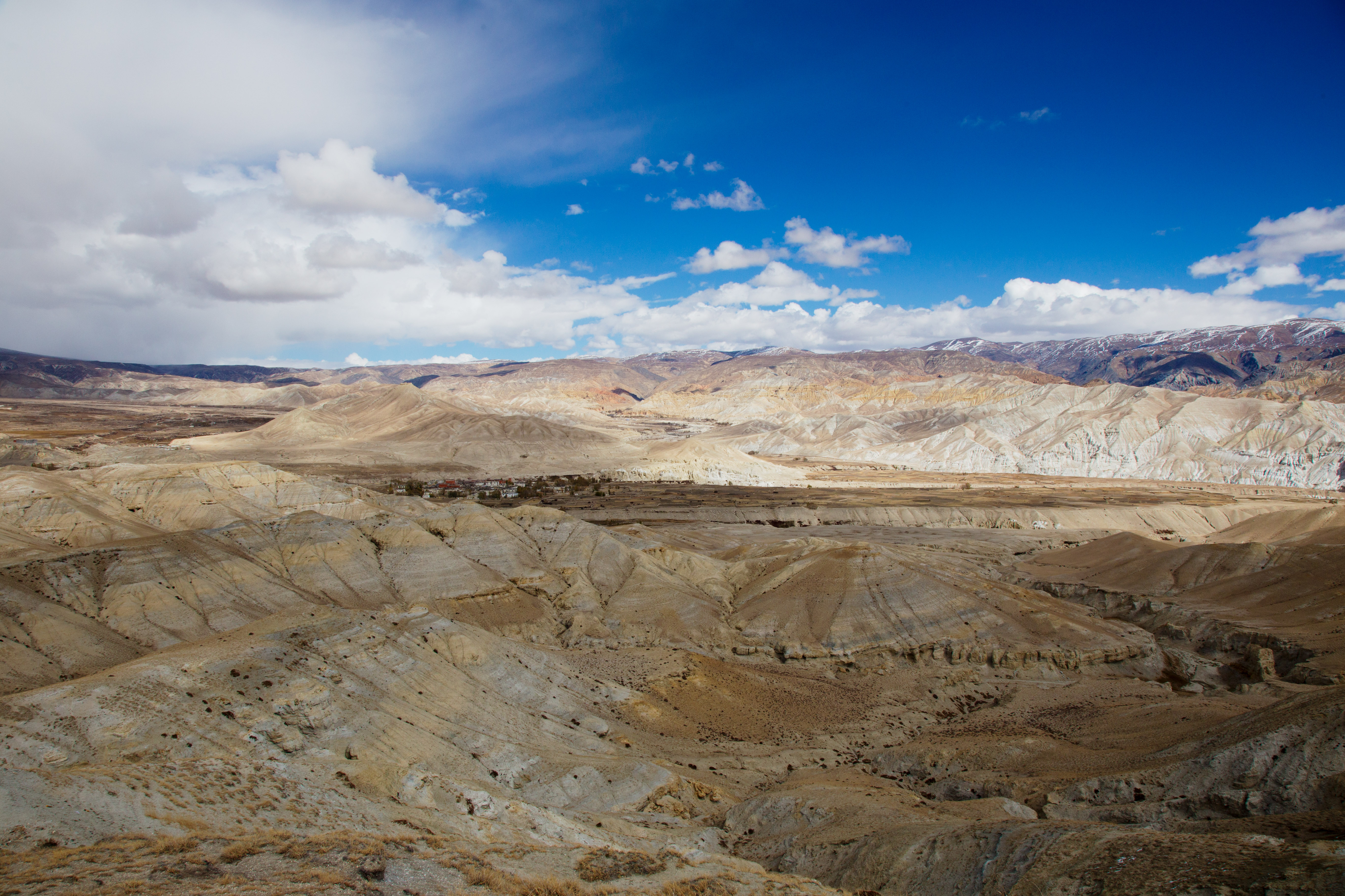
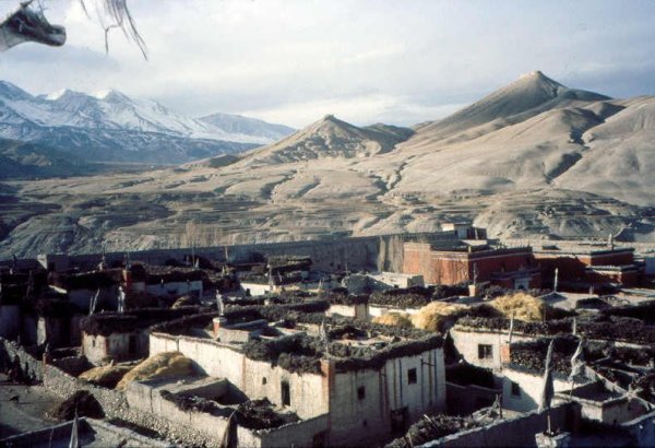
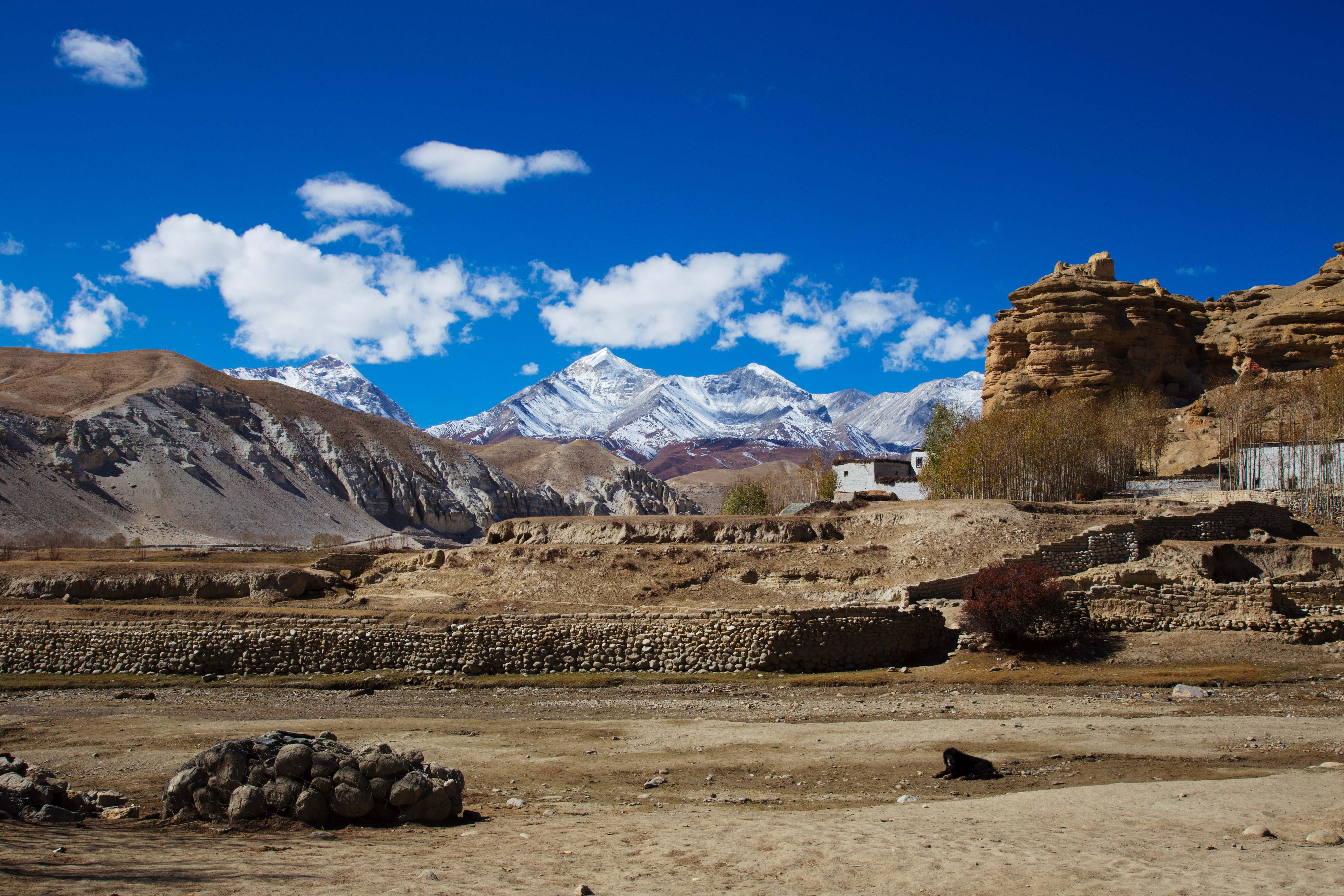
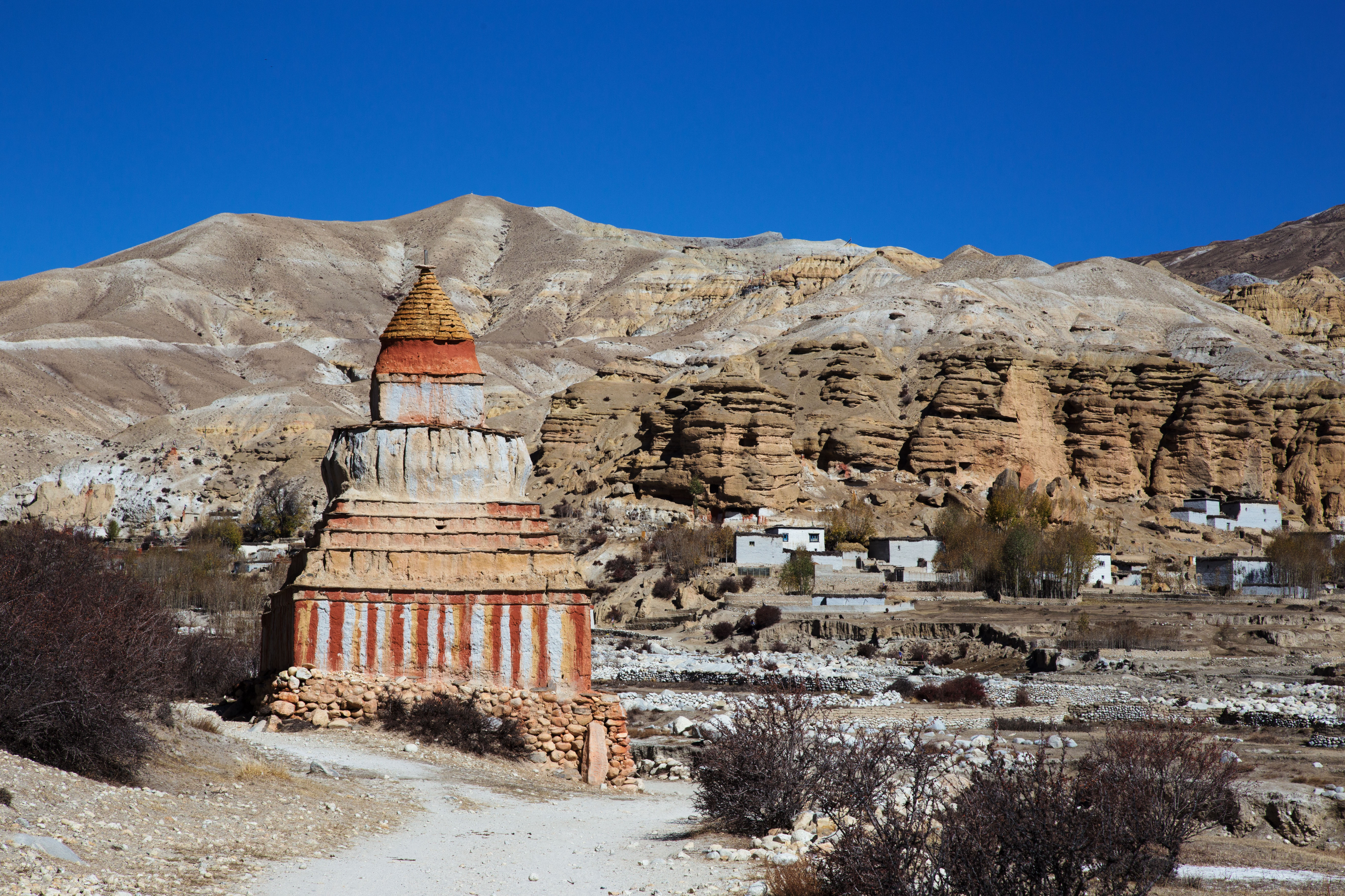
Lo Manthang
Topographic Map of Saukre, Lo Manthang, Nepal
Find elevation by address:

Places near Saukre, Lo Manthang, Nepal:
Tsarang
Dhakmar
Ghami
Lo Manthang Village
Monastic Quarter
Lo Manthang
Yara Gaun
Ghiling
Mustang
Kali Gandaki Corridor
Garphu
Dhe
Charang
Dhami
Chhonhup
Samar
Kora La
Chele
Ghyakar
Chhoser
Recent Searches:
- Elevation of Estates Loop, Priest River, ID, USA
- Elevation of Woodland Oak Pl, Thousand Oaks, CA, USA
- Elevation of Brownsdale Rd, Renfrew, PA, USA
- Elevation of Corcoran Ln, Suffolk, VA, USA
- Elevation of Mamala II, Sariaya, Quezon, Philippines
- Elevation of Sarangdanda, Nepal
- Elevation of 7 Waterfall Way, Tomball, TX, USA
- Elevation of SW 57th Ave, Portland, OR, USA
- Elevation of Crocker Dr, Vacaville, CA, USA
- Elevation of Pu Ngaol Community Meeting Hall, HWHM+3X7, Krong Saen Monourom, Cambodia