Elevation of Lo Manthang, Nepal
Location: Nepal > Western Region > Dhawalagiri >
Longitude: 83.8685072
Latitude: 29.2080456
Elevation: 5236m / 17178feet
Barometric Pressure: 52KPa
Elevation Map:
Satellite Map:
Related Photos:
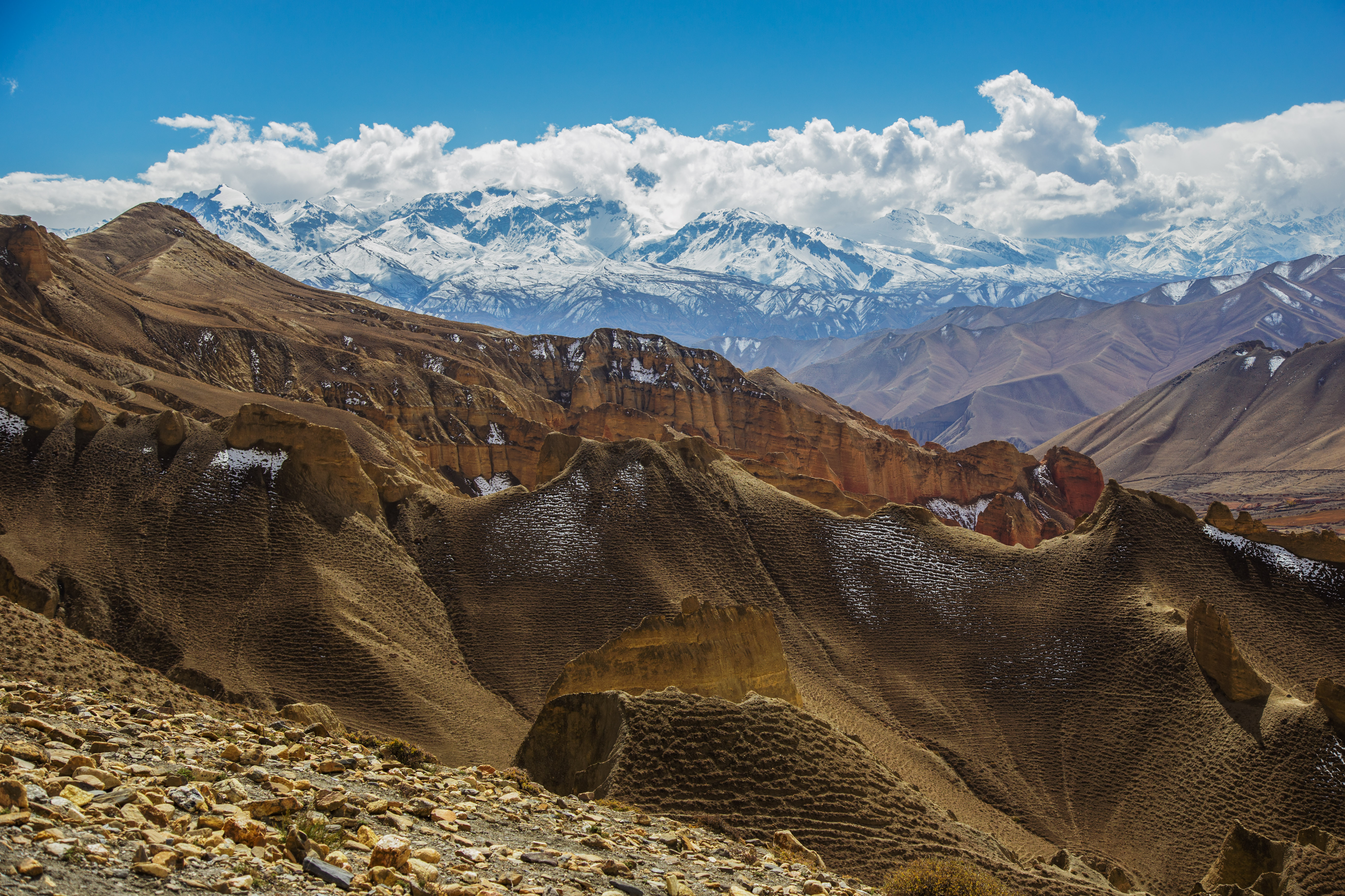
Towards Drakmar La (4000 m)
Lo Manthang Skyline, Mustang
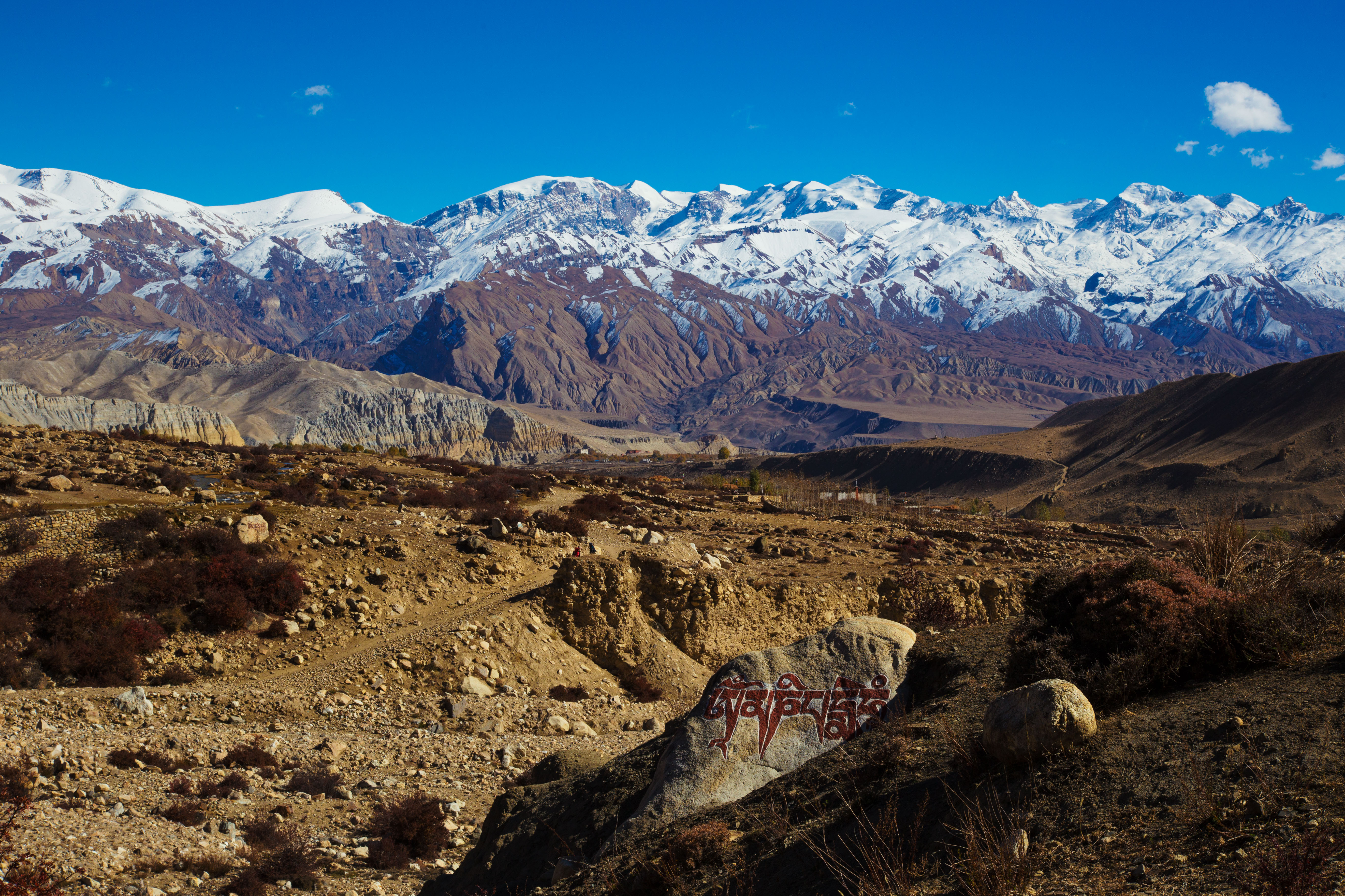
View on Tsarang from Ghar Gompa
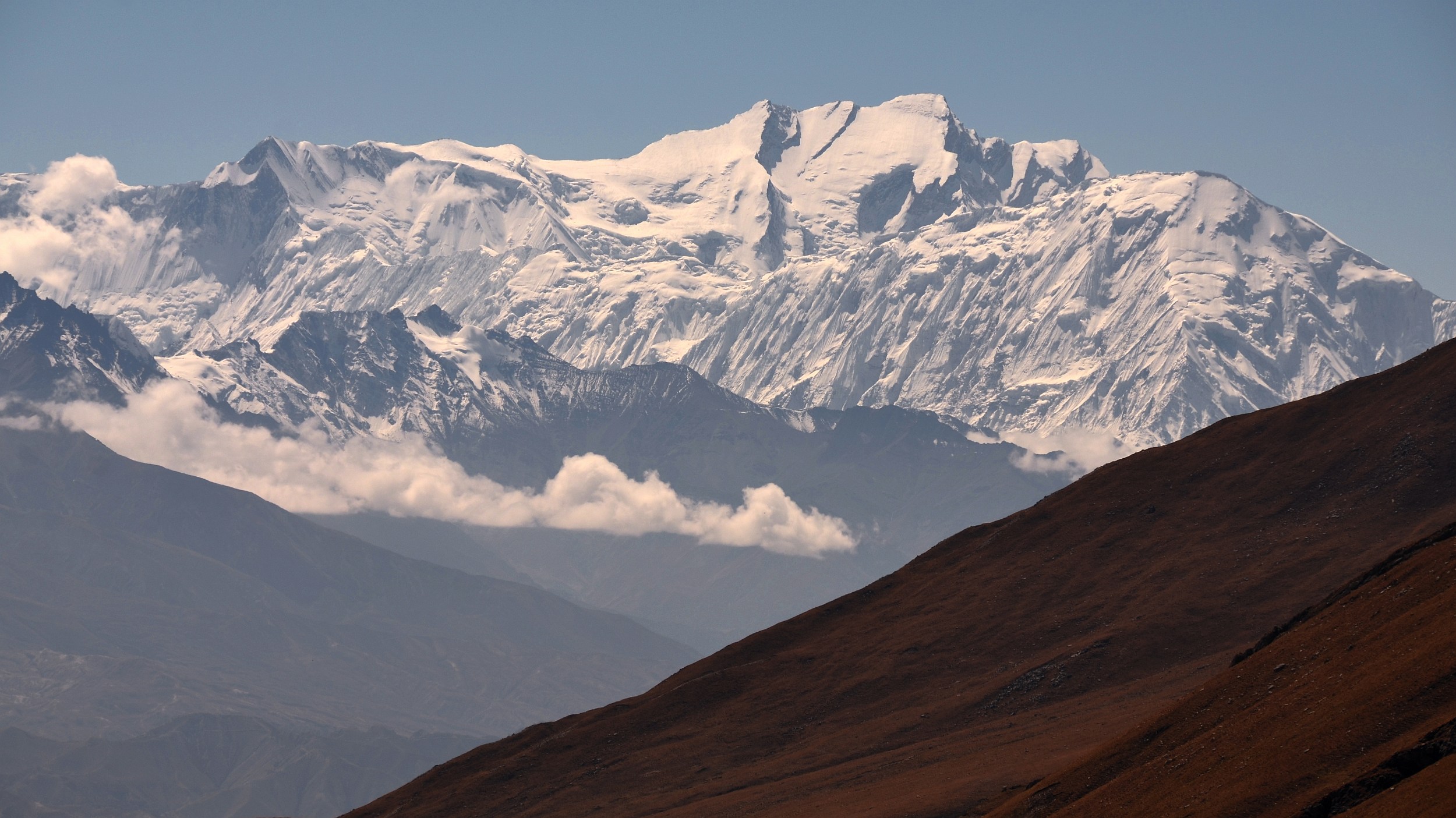
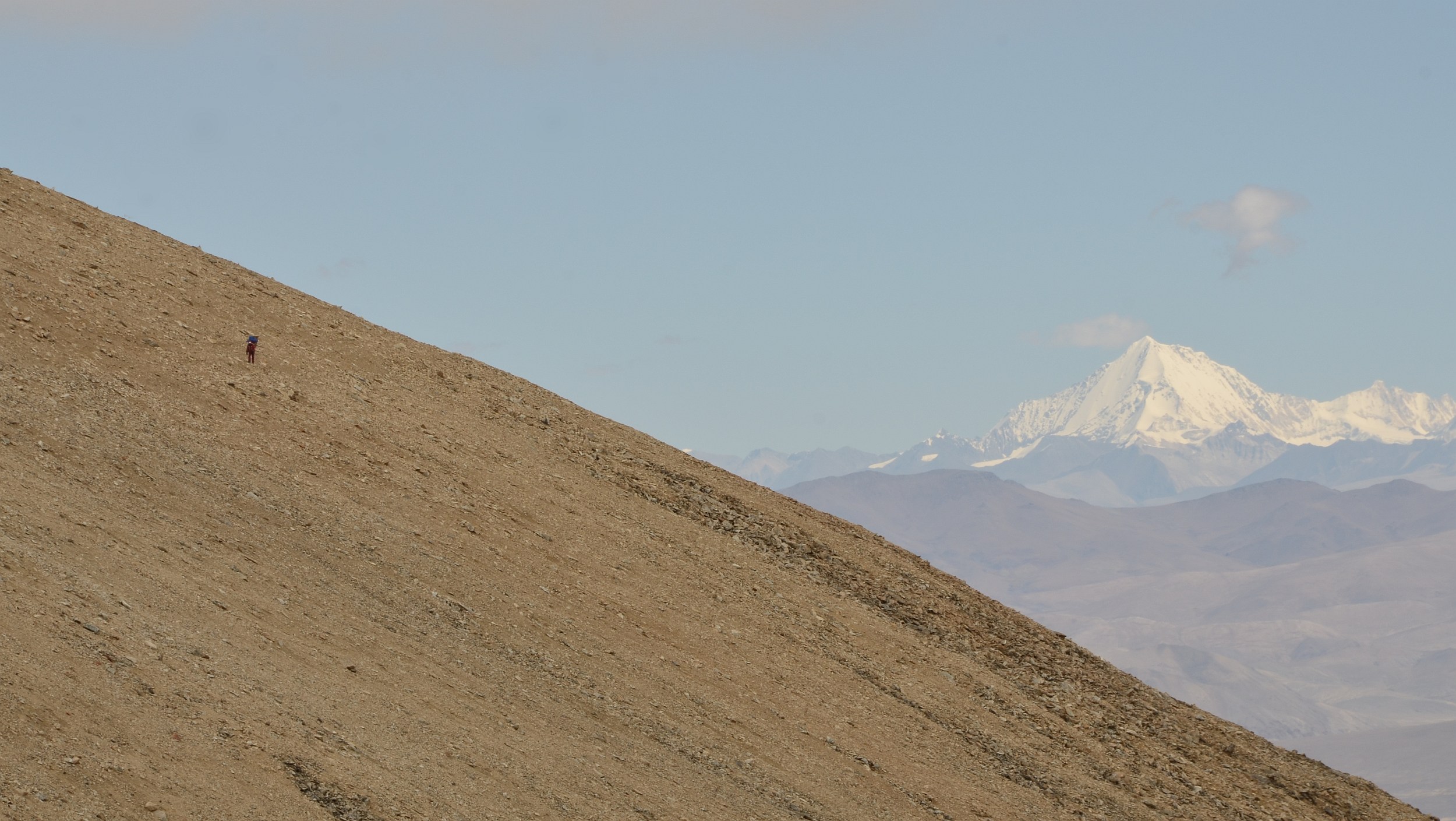
Annapurna I behindTilicho
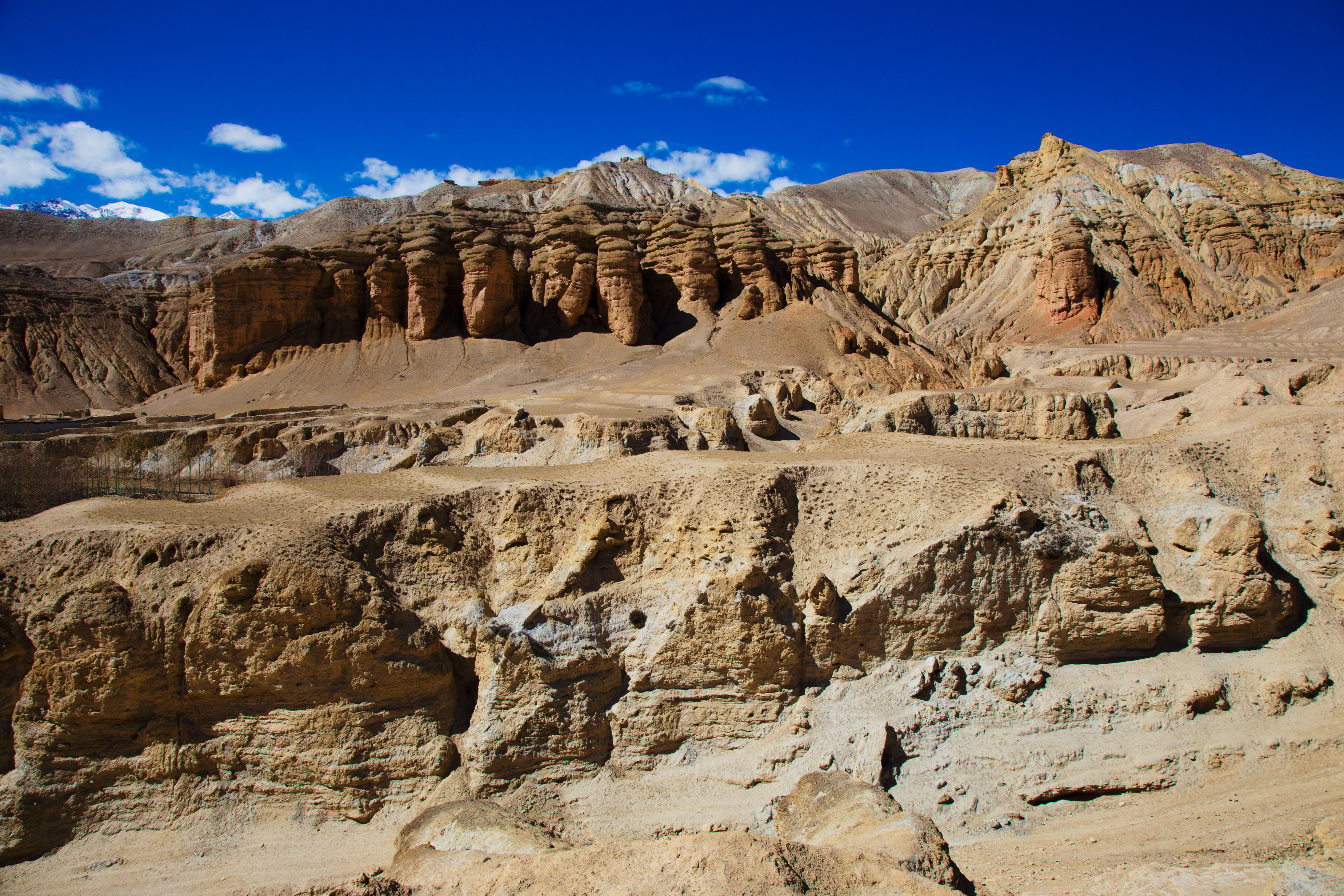
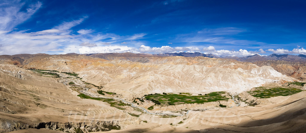
Chhoser valley landscape around Jhong Cave
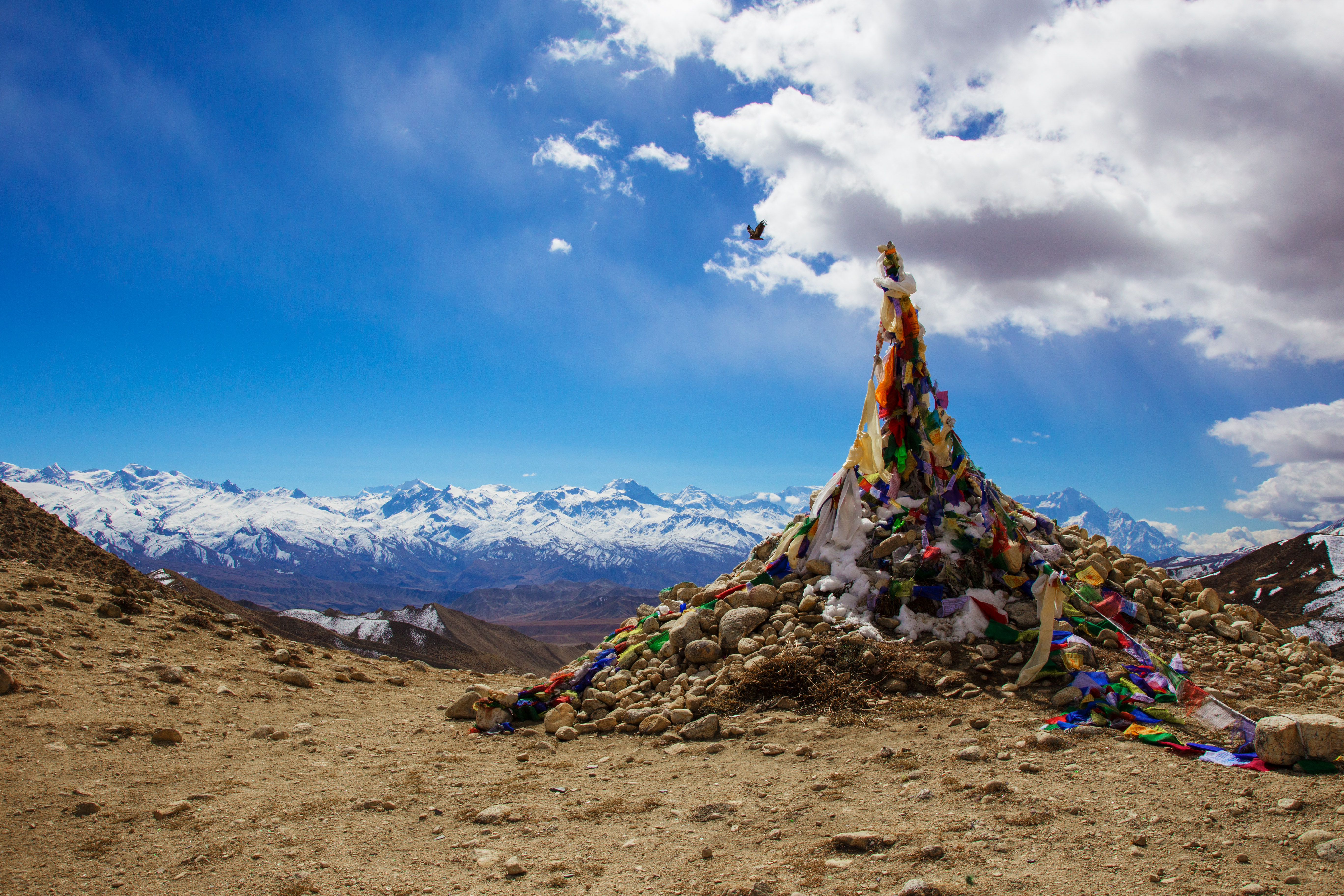
Marang La (4 230 m)

View from Jhong Cave
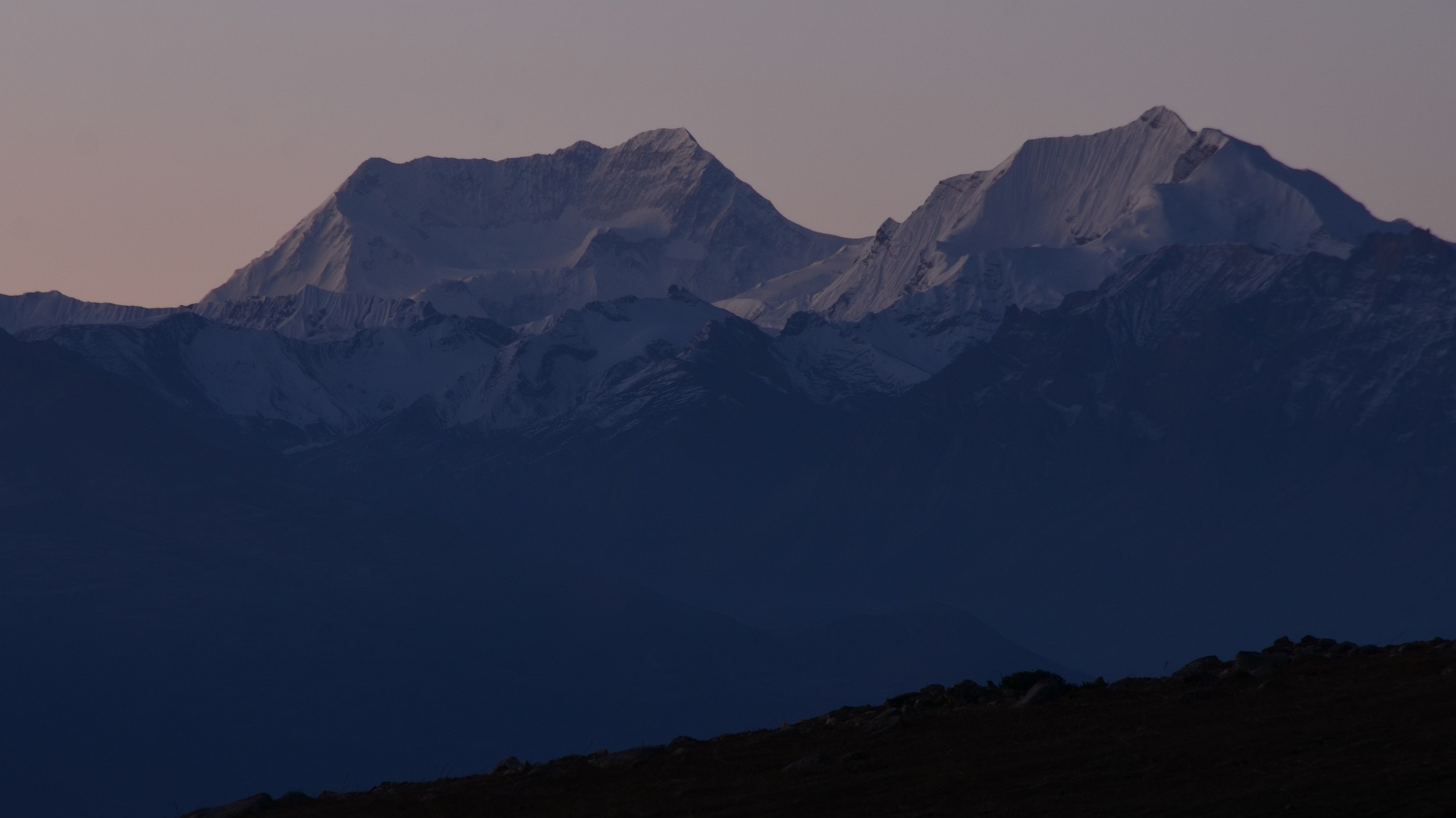
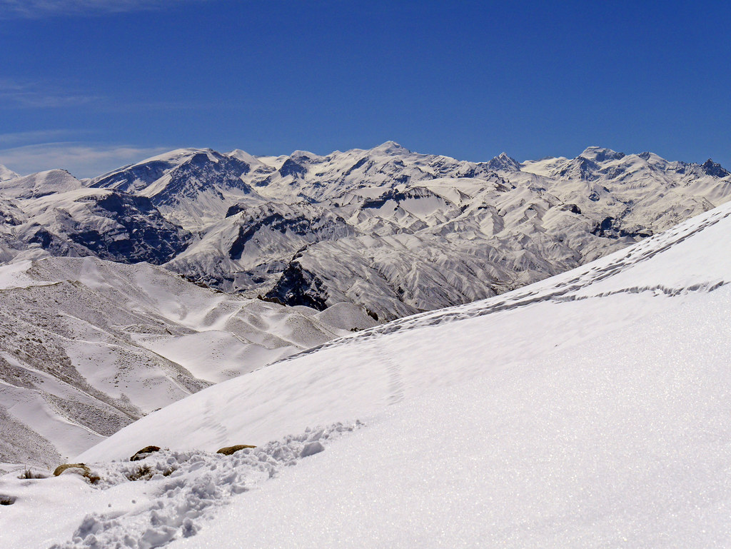
Annapurna II and Putrun Himal
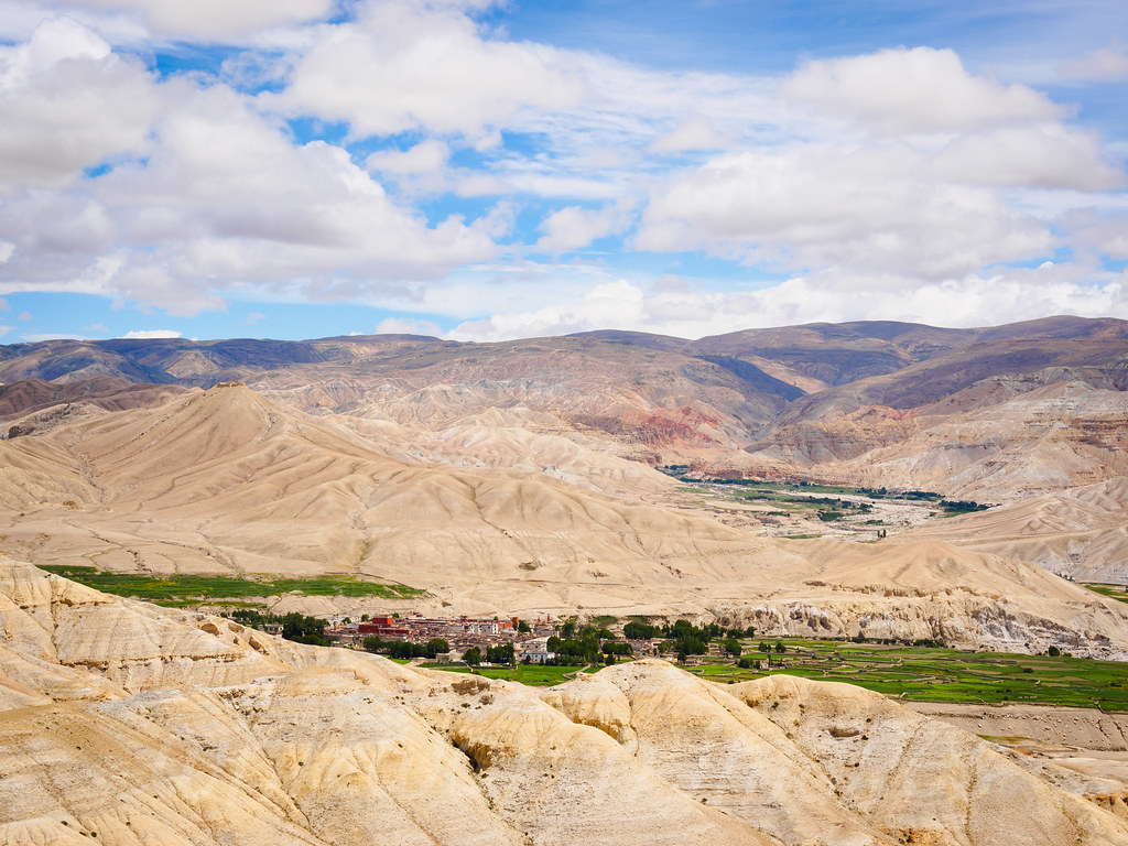
View over Lo Manthang
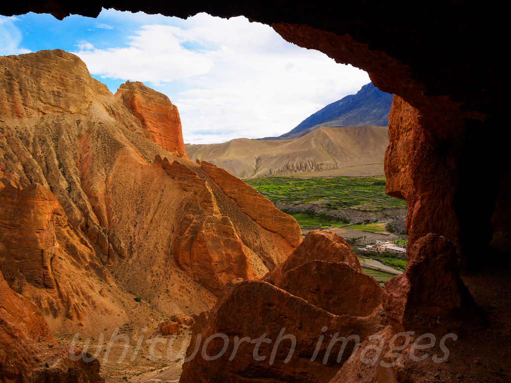
Looking out from the cave
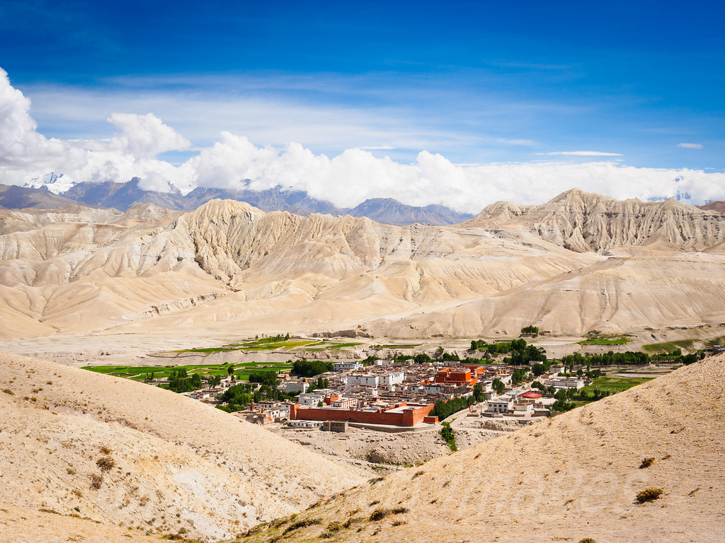
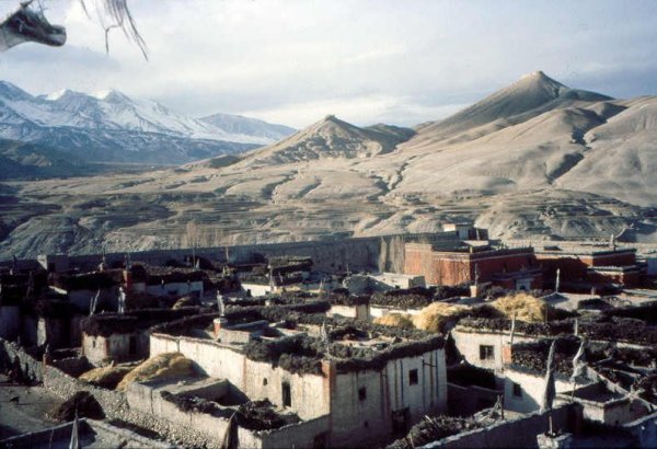
Lo Manthang
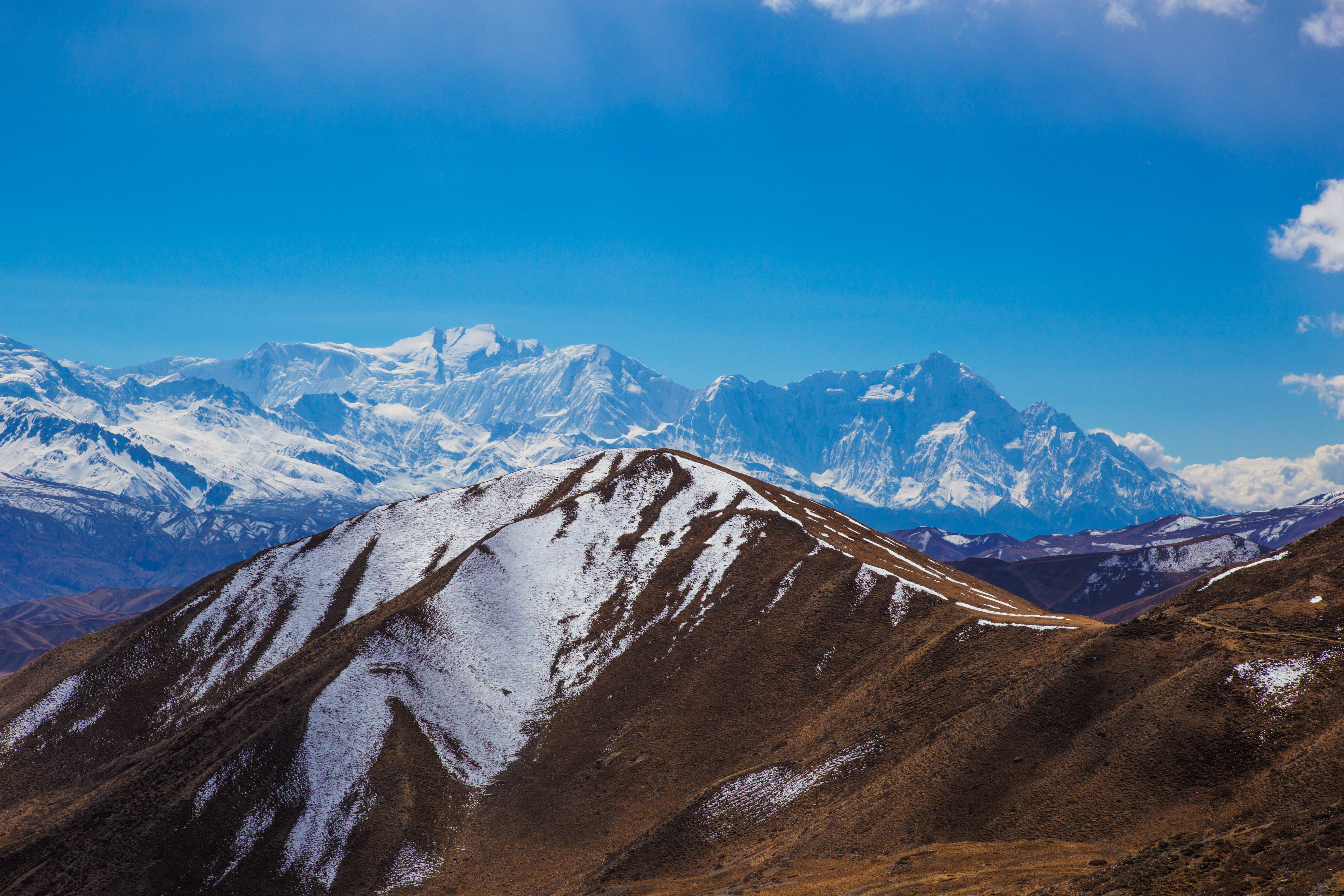
View on Annapurna I, Tilicho and Nilgiri
The Kingdom of Lo
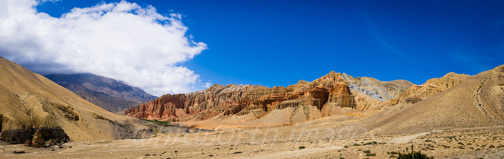
Red cliffs of Dhakmar

The forbidden capital

Looking out from the cave
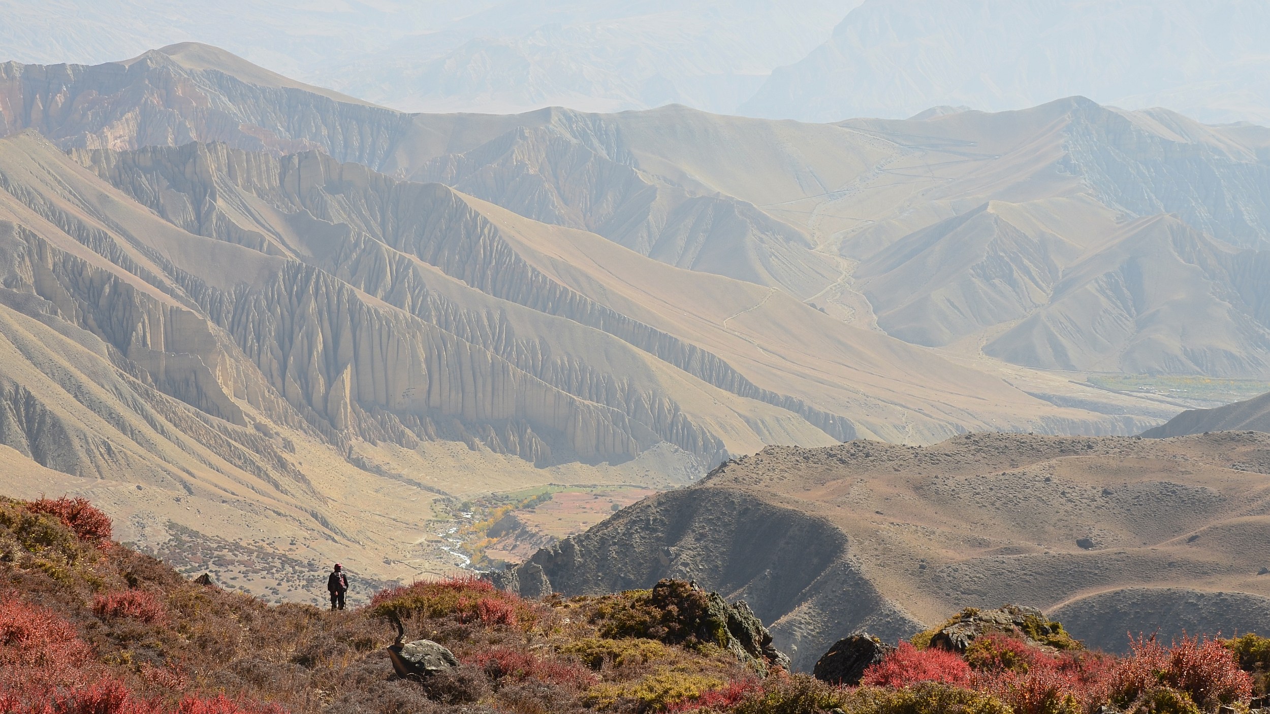
Approaching Gemi
Lungpo Gangri from Upper Mustang
Mustang_1361 High route from Lo Manthang to Lo Gekar

Mustang_1357 Annapurna Himal from Chogo La

Mustang_1356 Chogo La (Lo Manthang to Lo Gekar)
Topographic Map of Lo Manthang, Nepal
Find elevation by address:

Places in Lo Manthang, Nepal:
Places near Lo Manthang, Nepal:
Lo Manthang Village
Saukre
Monastic Quarter
Garphu
Chhonhup
Dhakmar
Tsarang
Charang
Kora La
Ghami
Yara Gaun
Dhami
Ghiling
Mustang
Kali Gandaki Corridor
Chhoser
Dhe
Samar
Ghyakar
Chele
Recent Searches:
- Elevation of Corso Fratelli Cairoli, 35, Macerata MC, Italy
- Elevation of Tallevast Rd, Sarasota, FL, USA
- Elevation of 4th St E, Sonoma, CA, USA
- Elevation of Black Hollow Rd, Pennsdale, PA, USA
- Elevation of Oakland Ave, Williamsport, PA, USA
- Elevation of Pedrógão Grande, Portugal
- Elevation of Klee Dr, Martinsburg, WV, USA
- Elevation of Via Roma, Pieranica CR, Italy
- Elevation of Tavkvetili Mountain, Georgia
- Elevation of Hartfords Bluff Cir, Mt Pleasant, SC, USA