Elevation of Sassafras Fork, NC, USA
Location: United States > North Carolina > Granville County >
Longitude: -78.588795
Latitude: 36.4701881
Elevation: 138m / 453feet
Barometric Pressure: 100KPa
Elevation Map:
Satellite Map:
Related Photos:

Silver Ripples

Window with Curtain

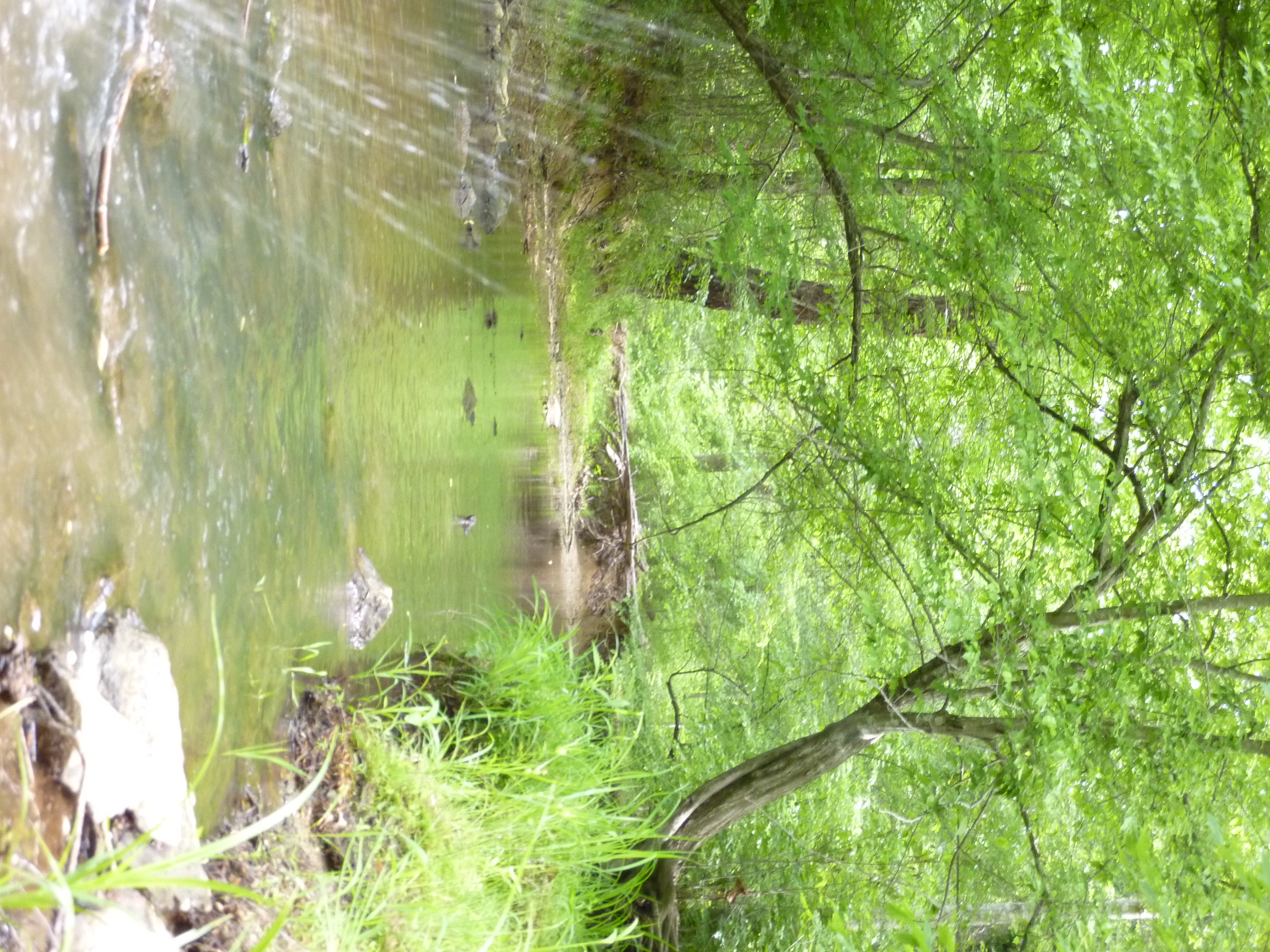
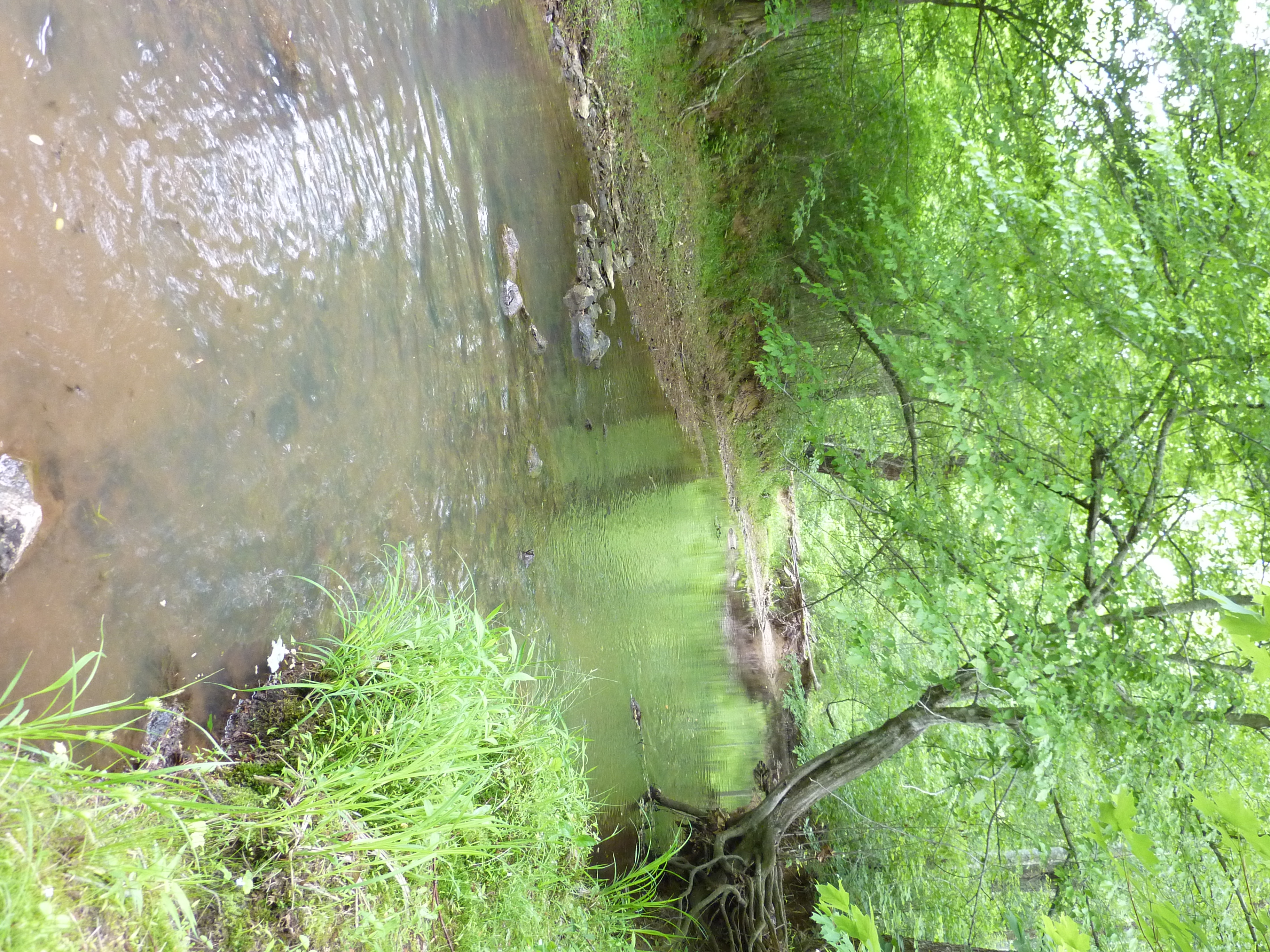
Swirls in Grassy Creek
Abandoned? Virginia Southern
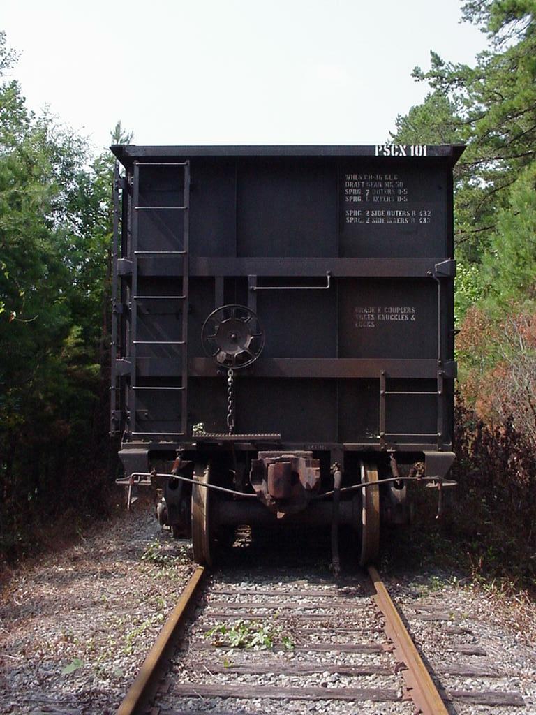
PSCX stored rotary dump hoppers
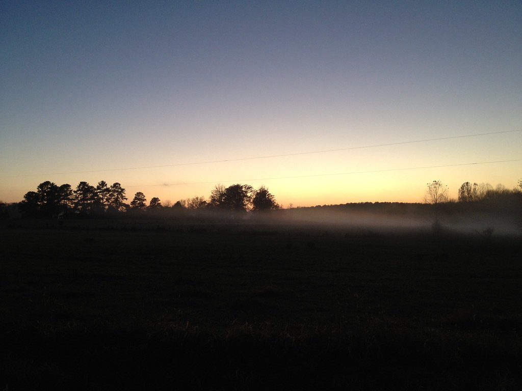
after sunset
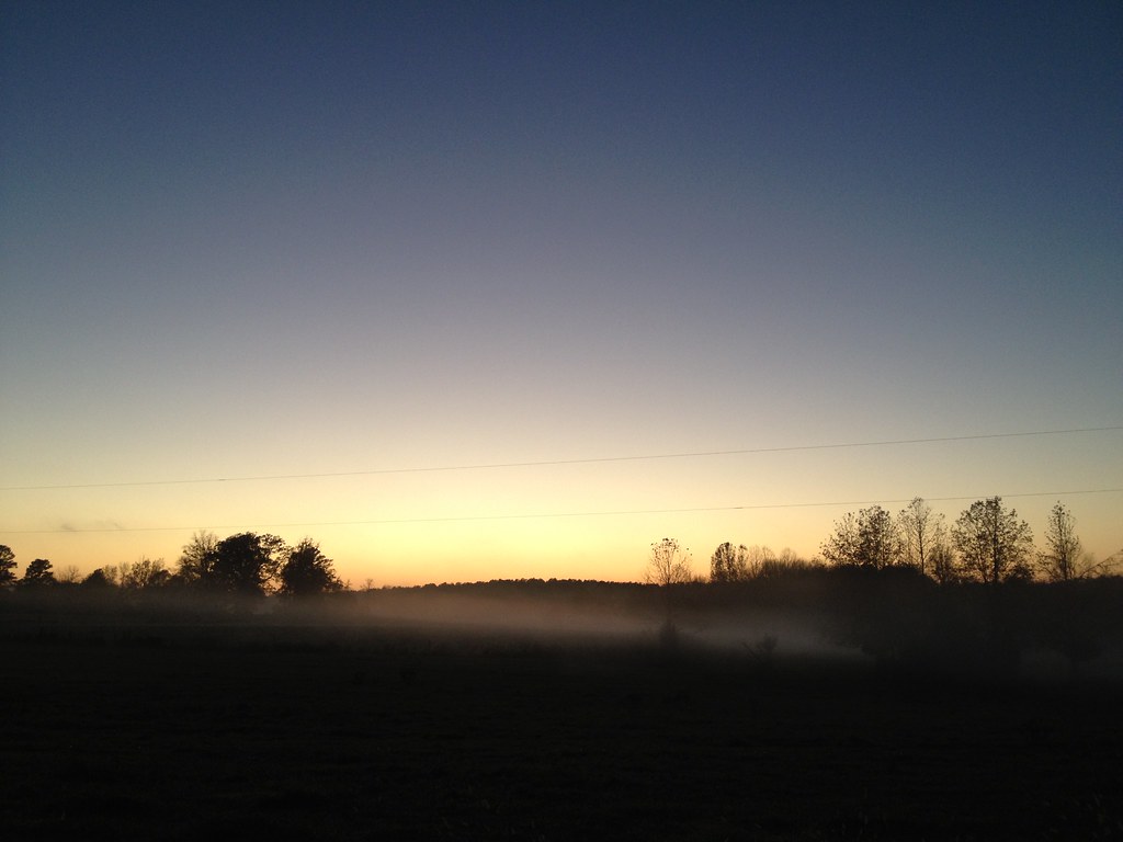
after sunset
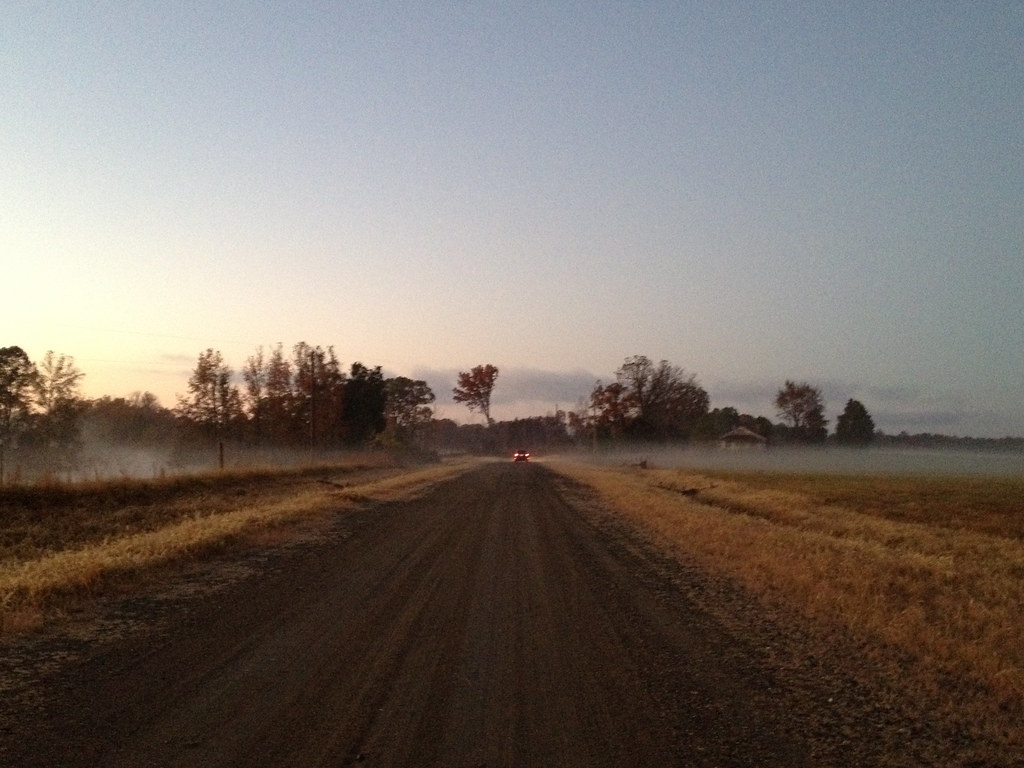
That RoadIMG_1140
Rancho Cost-a-plenty
Barbed Wire
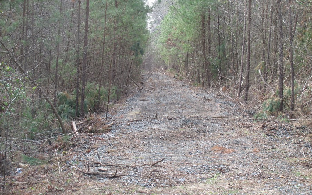
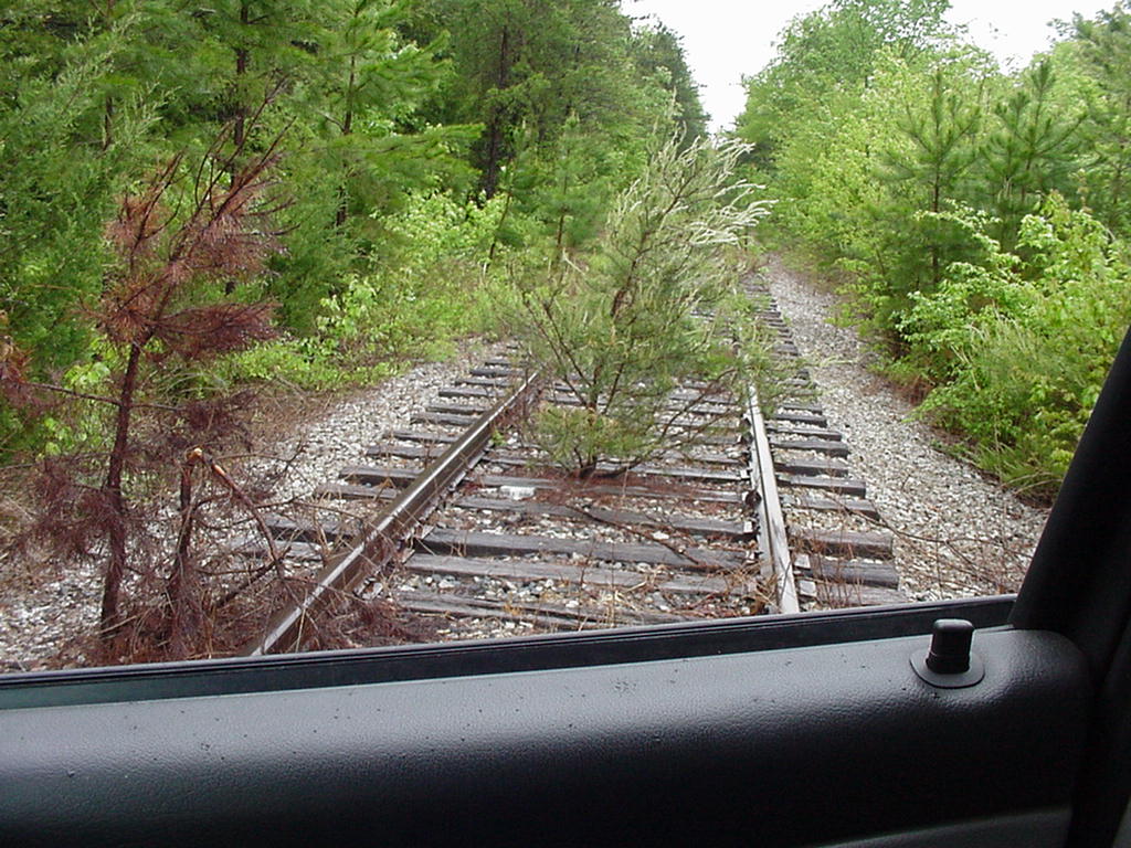
Abandoned Southern
Rancho Cost-a-plenty

Abandoned Southern Railway
in his lair
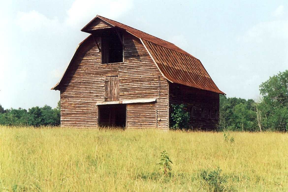
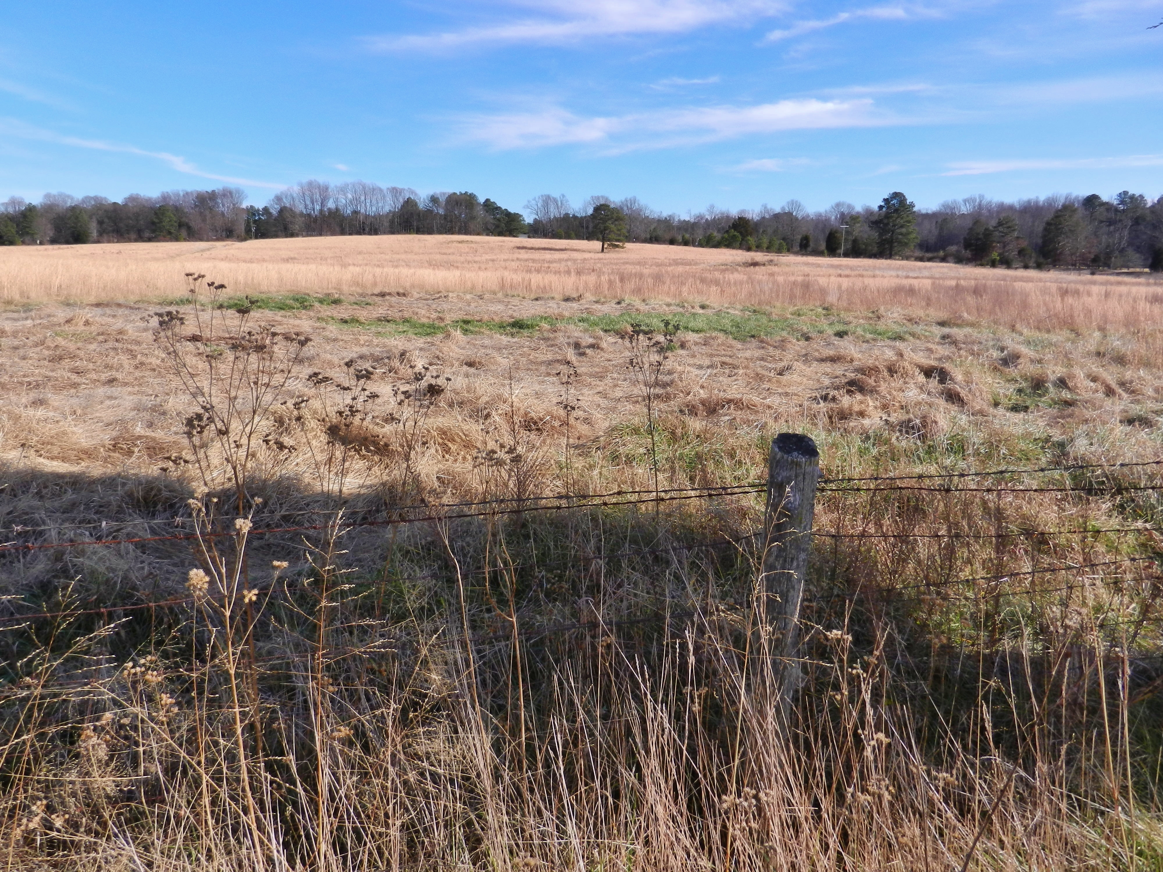
Virginia, Mecklenburg County, Livestock and hay barn (Gone) (23,007)
Topographic Map of Sassafras Fork, NC, USA
Find elevation by address:

Places in Sassafras Fork, NC, USA:
Places near Sassafras Fork, NC, USA:
Cedar Ln, Oxford, NC, USA
Stovall
US-15, Bullock, NC, USA
Sam Hall Road
Oak Hill Rd, Oxford, NC, USA
Lick Branch
Hicksboro Rd, Oxford, NC, USA
Salem
Oxford
Oak Hill
Salem Rd, Oxford, NC, USA
Williamsboro
VA-49, Virgilina, VA, USA
429 Williamsboro St
NC-96, Oxford, NC, USA
321 Forest Rd
100 Main St
Oxford
Main Street
Main Street
Recent Searches:
- Elevation of Beall Road, Beall Rd, Florida, USA
- Elevation of Leguwa, Nepal
- Elevation of County Rd, Enterprise, AL, USA
- Elevation of Kolchuginsky District, Vladimir Oblast, Russia
- Elevation of Shustino, Vladimir Oblast, Russia
- Elevation of Lampiasi St, Sarasota, FL, USA
- Elevation of Elwyn Dr, Roanoke Rapids, NC, USA
- Elevation of Congressional Dr, Stevensville, MD, USA
- Elevation of Bellview Rd, McLean, VA, USA
- Elevation of Stage Island Rd, Chatham, MA, USA