Elevation of Oak Hill Rd, Oxford, NC, USA
Location: United States > North Carolina > Granville County > Oak Hill >
Longitude: -78.666107
Latitude: 36.478957
Elevation: 137m / 449feet
Barometric Pressure: 100KPa
Elevation Map:
Satellite Map:
Related Photos:

Silver Ripples

Swirls in Grassy Creek

Window with Curtain
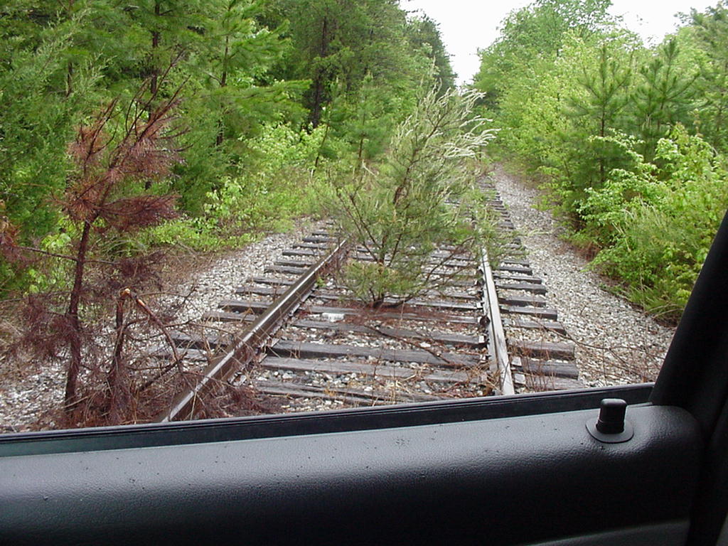
Abandoned? Virginia Southern
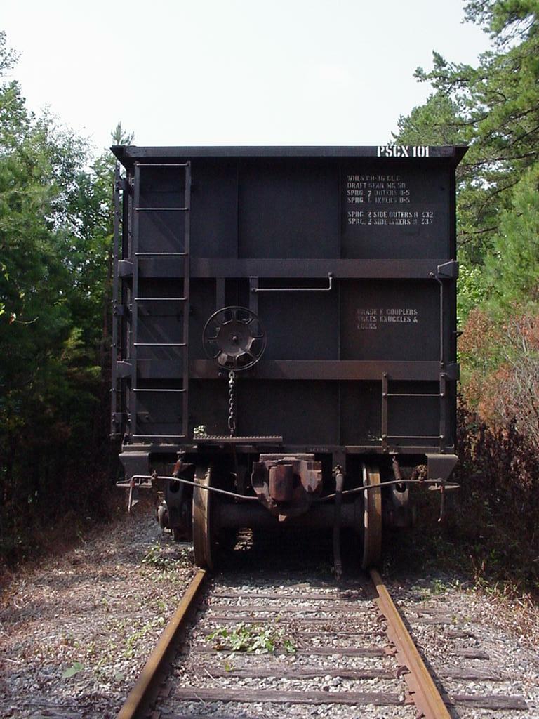
PSCX stored rotary dump hoppers

after sunset

after sunset
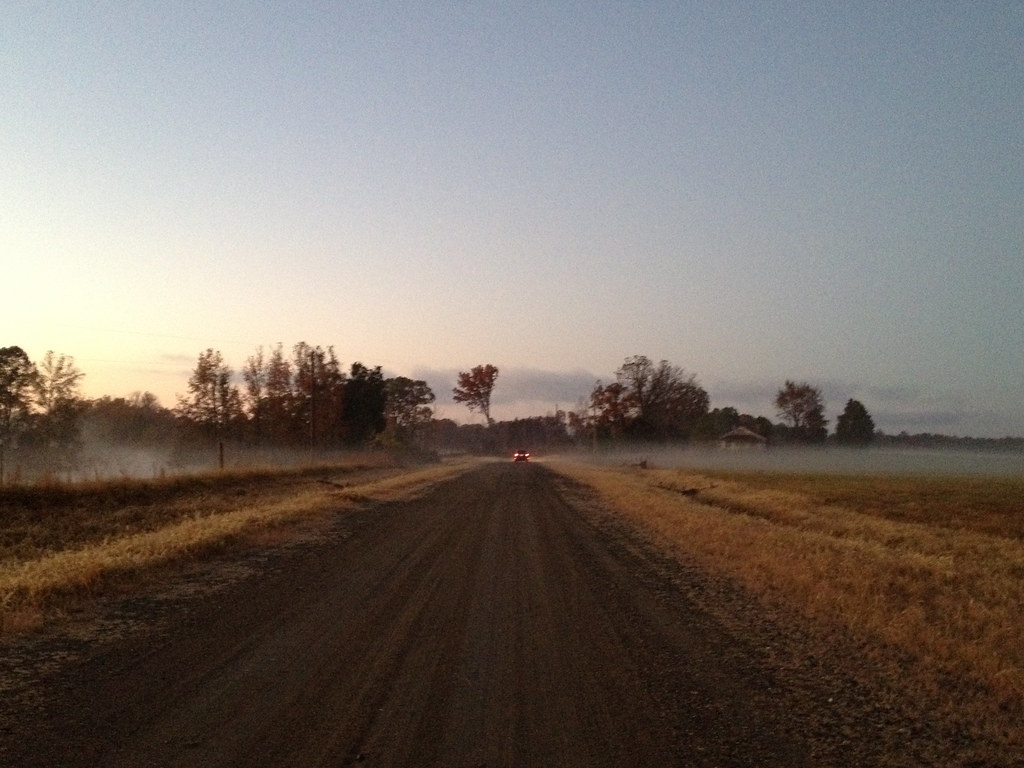
That RoadIMG_1140

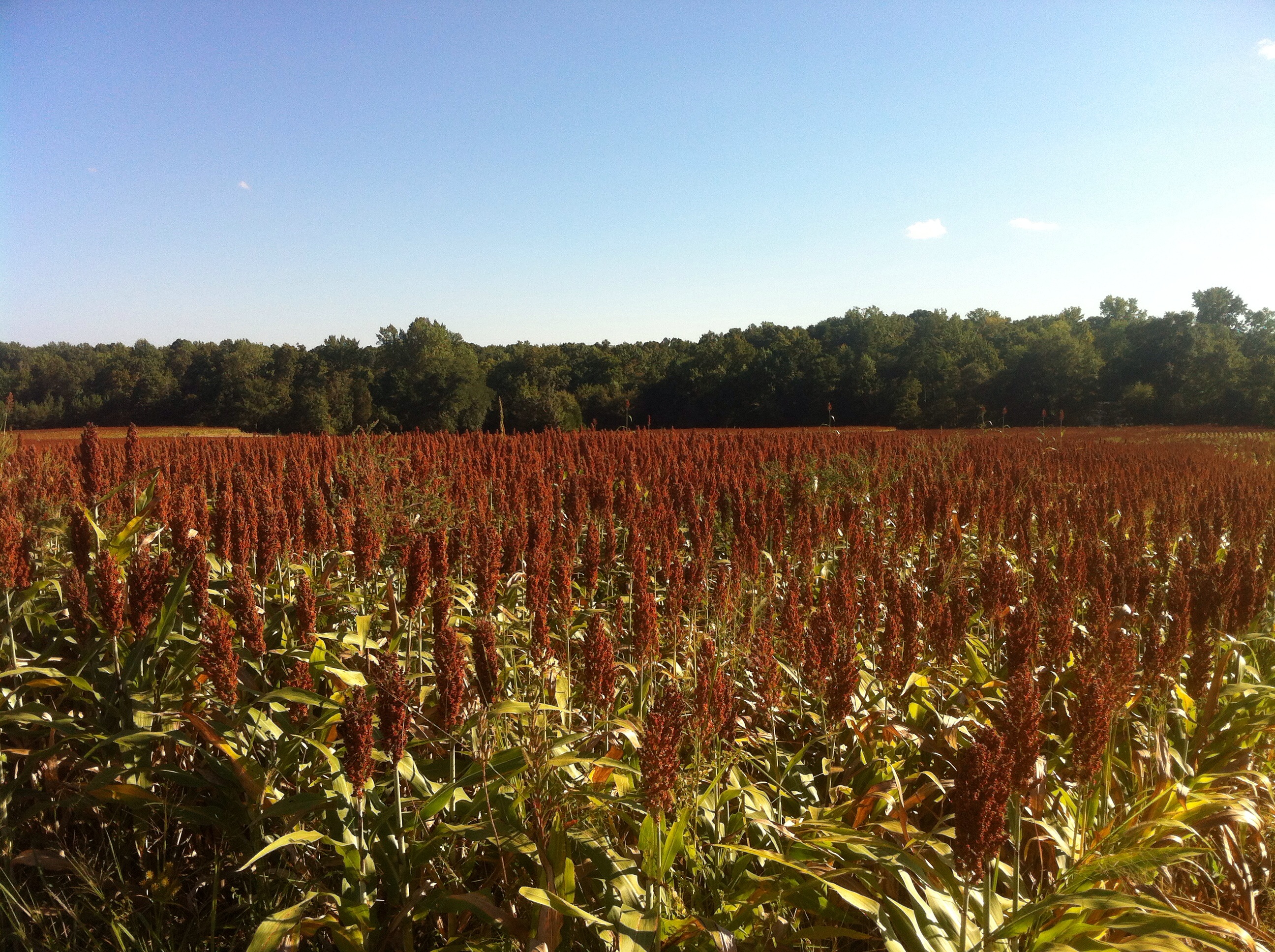
Rancho Cost-a-plenty
to vermont
Barbed Wire

Rancho Cost-a-plenty
in his lair
Topographic Map of Oak Hill Rd, Oxford, NC, USA
Find elevation by address:

Places near Oak Hill Rd, Oxford, NC, USA:
Oak Hill
Sam Hall Road
Sassafras Fork
NC-96, Oxford, NC, USA
VA-49, Virgilina, VA, USA
Cedar Ln, Oxford, NC, USA
Stovall
Lick Branch
US-15, Bullock, NC, USA
Oxford
1614 Leigh Dr
1614 Leigh Dr
Salem
Hicksboro Rd, Oxford, NC, USA
Salem Rd, Oxford, NC, USA
429 Williamsboro St
Oxford
100 Main St
Main Street
Main Street
Recent Searches:
- Elevation of SW 57th Ave, Portland, OR, USA
- Elevation of Crocker Dr, Vacaville, CA, USA
- Elevation of Pu Ngaol Community Meeting Hall, HWHM+3X7, Krong Saen Monourom, Cambodia
- Elevation of Royal Ontario Museum, Queens Park, Toronto, ON M5S 2C6, Canada
- Elevation of Groblershoop, South Africa
- Elevation of Power Generation Enterprises | Industrial Diesel Generators, Oak Ave, Canyon Country, CA, USA
- Elevation of Chesaw Rd, Oroville, WA, USA
- Elevation of N, Mt Pleasant, UT, USA
- Elevation of 6 Rue Jules Ferry, Beausoleil, France
- Elevation of Sattva Horizon, 4JC6+G9P, Vinayak Nagar, Kattigenahalli, Bengaluru, Karnataka, India