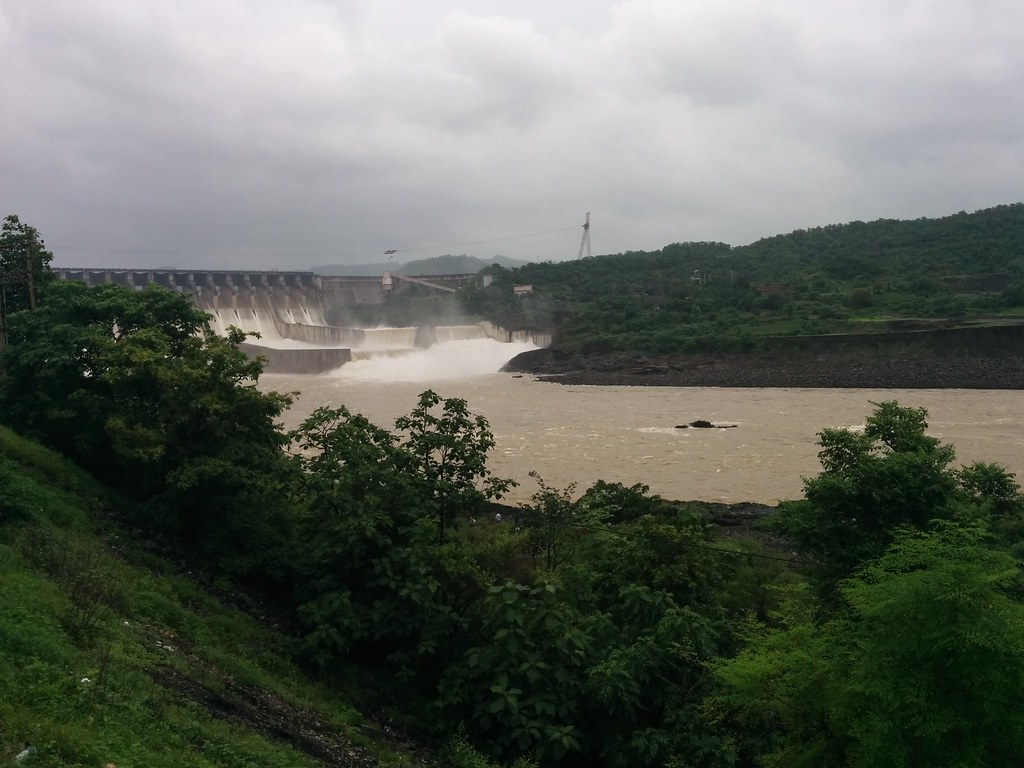
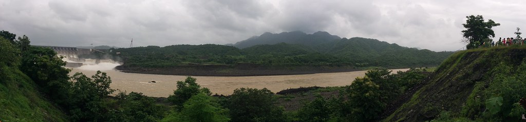
Elevation of Sardar Sarovar Dam, Gujarat, India
Location: India > Gujarat > Narmada >
Longitude: 73.7485212
Latitude: 21.8305054
Elevation: 23m / 75feet
Barometric Pressure: 101KPa
Elevation Map:
Satellite Map:
Related Photos:
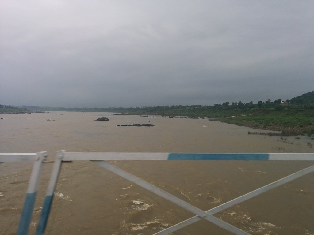
IMG_20160806_155458
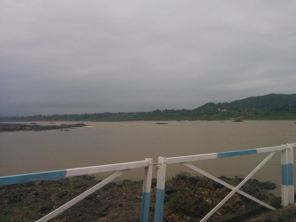
IMG_20160806_155412
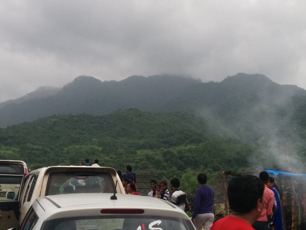
IMG_20160807_172322

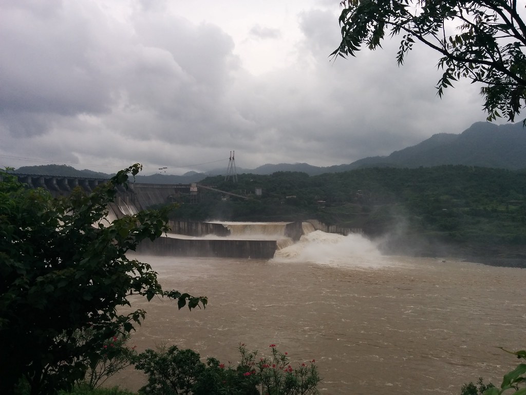
IMG_20160808_104018
IMG_20160807_180015

IMG_20160808_103956
IMG_20160807_172041

IMG_20160807_172014
PANO_20160807_172142

IMG_20160807_114303
Topographic Map of Sardar Sarovar Dam, Gujarat, India
Find elevation by address:

Places near Sardar Sarovar Dam, Gujarat, India:
Kevadia
Narmada
Nasvadi
Nandurbar
Kavant
Chhota Udaipur
Haripura
Pavijetpur
Jambughoda
Tapi
Pavagad
Gayatri Shakti Pith Temple
Pavagadh Hills
Vadodara
Waghodia Chowkdi
Dove Deck - Nrs Projects
Maneja
Marutidham Society
91/92/a
Ajwa Road
Recent Searches:
- Elevation of Hickory Blvd, Bonita Springs, FL, USA
- Elevation of Lalagbene, Bayelsa, Nigeria
- Elevation of Ogbosuware Health Centre, 2WWJ+4PJ, Lalagbene, Bayelsa, Nigeria
- Elevation of Duckhorn Ct, Las Vegas, NV, USA
- Elevation of Garretts Run Rd, Ford City, PA, USA
- Elevation of N WI-55, Freedom, WI, USA
- Elevation map of Hadiya, Ethiopia
- Elevation of Hosaina, Ethiopia
- Elevation of Verde Terrace, North Port, FL, USA
- Elevation of US-, Leesburg, FL, USA