Elevation of Kevadia, Gujarat, India
Location: India > Gujarat > Narmada >
Longitude: 73.7036535
Latitude: 21.8820368
Elevation: 68m / 223feet
Barometric Pressure: 101KPa
Elevation Map:
Satellite Map:
Related Photos:

IMG_20160808_104018

IMG_20160808_103956

IMG_20160807_172041

IMG_20160807_172014
IMG_20160807_180015

IMG_20160806_155458

IMG_20160807_114257

IMG_20160806_155412

IMG_20160807_172322

2019-10-07_07-45-59

2019-10-06_10-08-07

Statue of Unity
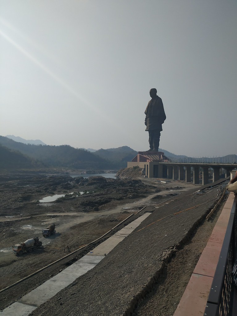
The Iron Man of India
Topographic Map of Kevadia, Gujarat, India
Find elevation by address:

Places near Kevadia, Gujarat, India:
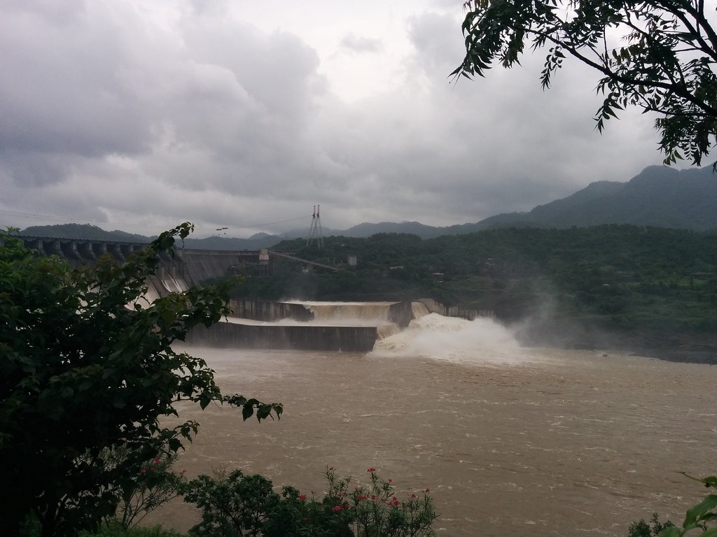
Sardar Sarovar Dam
Narmada
Nasvadi
Kavant
Nandurbar
Chhota Udaipur
Pavijetpur
Jambughoda
Haripura
Pavagad
Gayatri Shakti Pith Temple
Pavagadh Hills
Tapi
Waghodia Chowkdi
Vadodara
Dove Deck - Nrs Projects
Maneja
91/92/a
Marutidham Society
Ajwa Road
Recent Searches:
- Elevation map of Hadiya, Ethiopia
- Elevation of Hosaina, Ethiopia
- Elevation of Verde Terrace, North Port, FL, USA
- Elevation of US-, Leesburg, FL, USA
- Elevation of Summit Dr, Kerrville, TX, USA
- Elevation of Hanson Rd, Cedaredge, CO, USA
- Elevation of Maxine St NE, Albuquerque, NM, USA
- Elevation of Blattner Rd, Philo, CA, USA
- Elevation of Polzela, Slovenia
- Elevation of Gorod Kislovodsk, Stavropol Krai, Russia