Elevation of Santa Barbara Campground, Vadito, NM, USA
Location: United States > New Mexico > Taos County > Vadito >
Longitude: -105.60890
Latitude: 36.0855827
Elevation: 2708m / 8884feet
Barometric Pressure: 73KPa
Elevation Map:
Satellite Map:
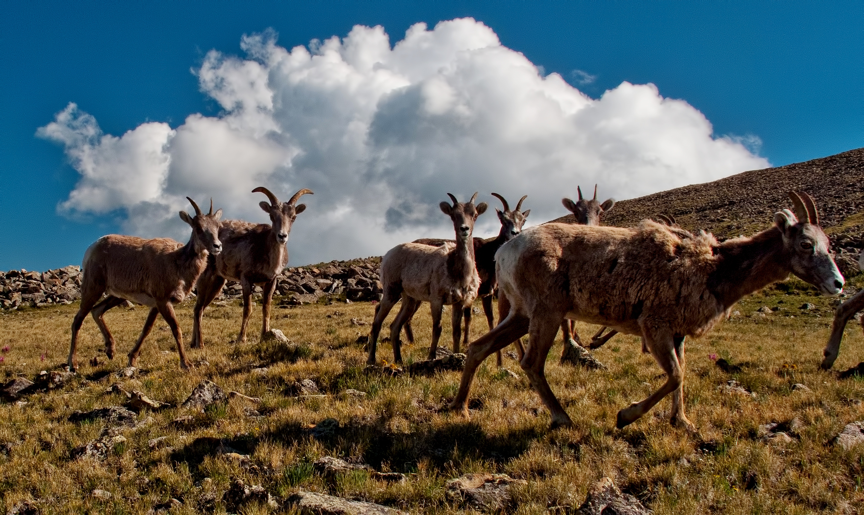
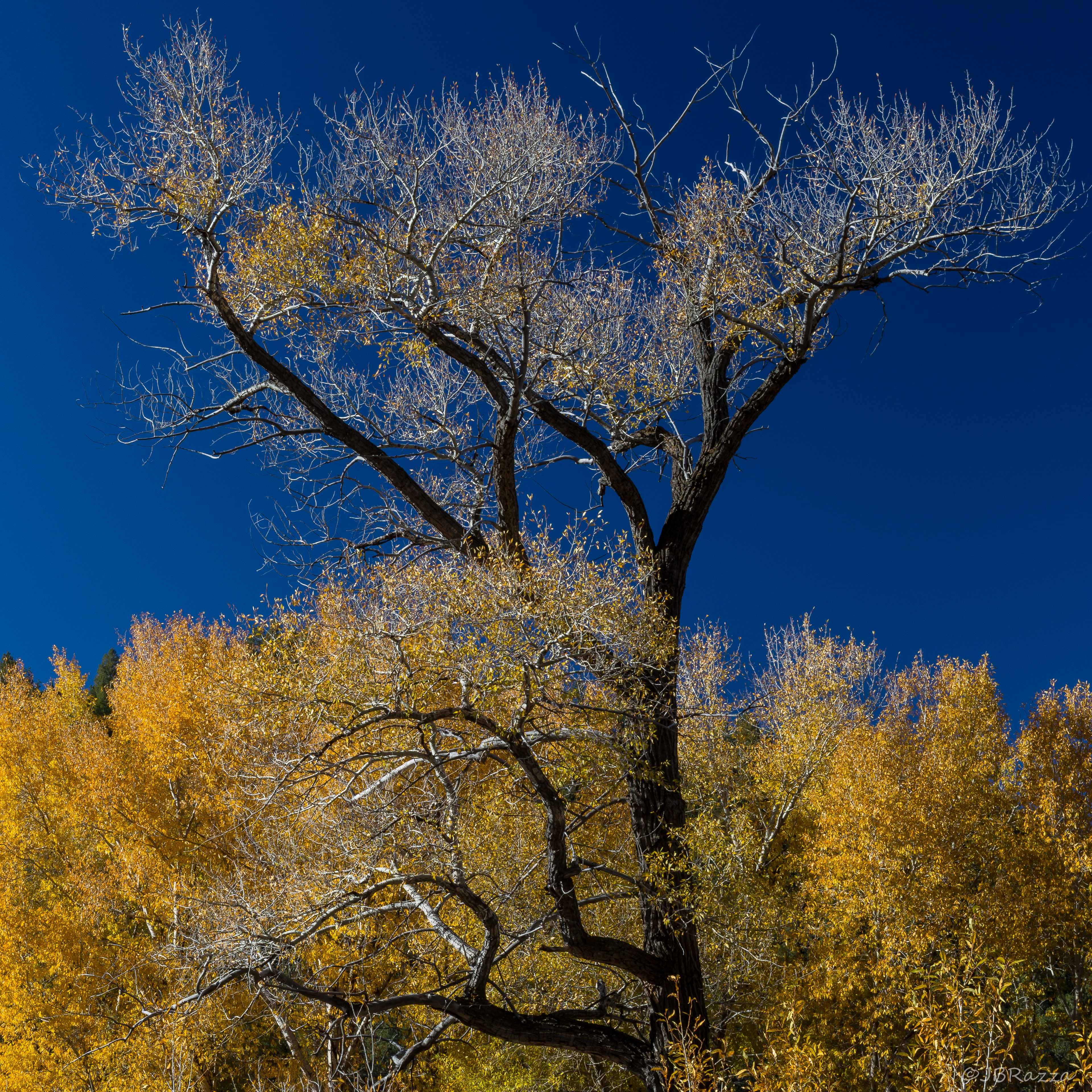
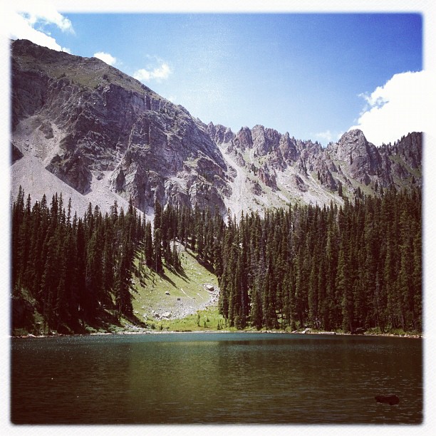
Related Photos:
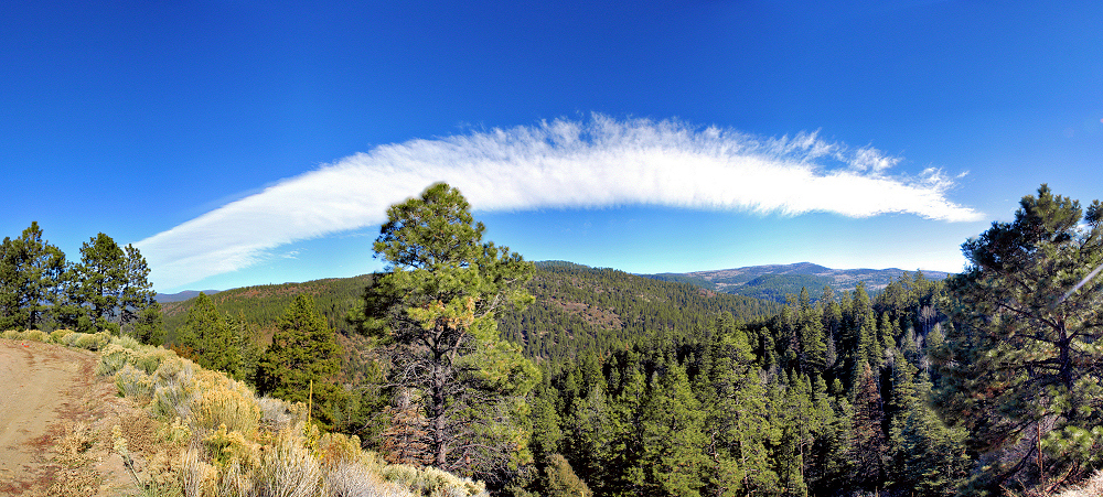
Panorama from S Truchas - ESE

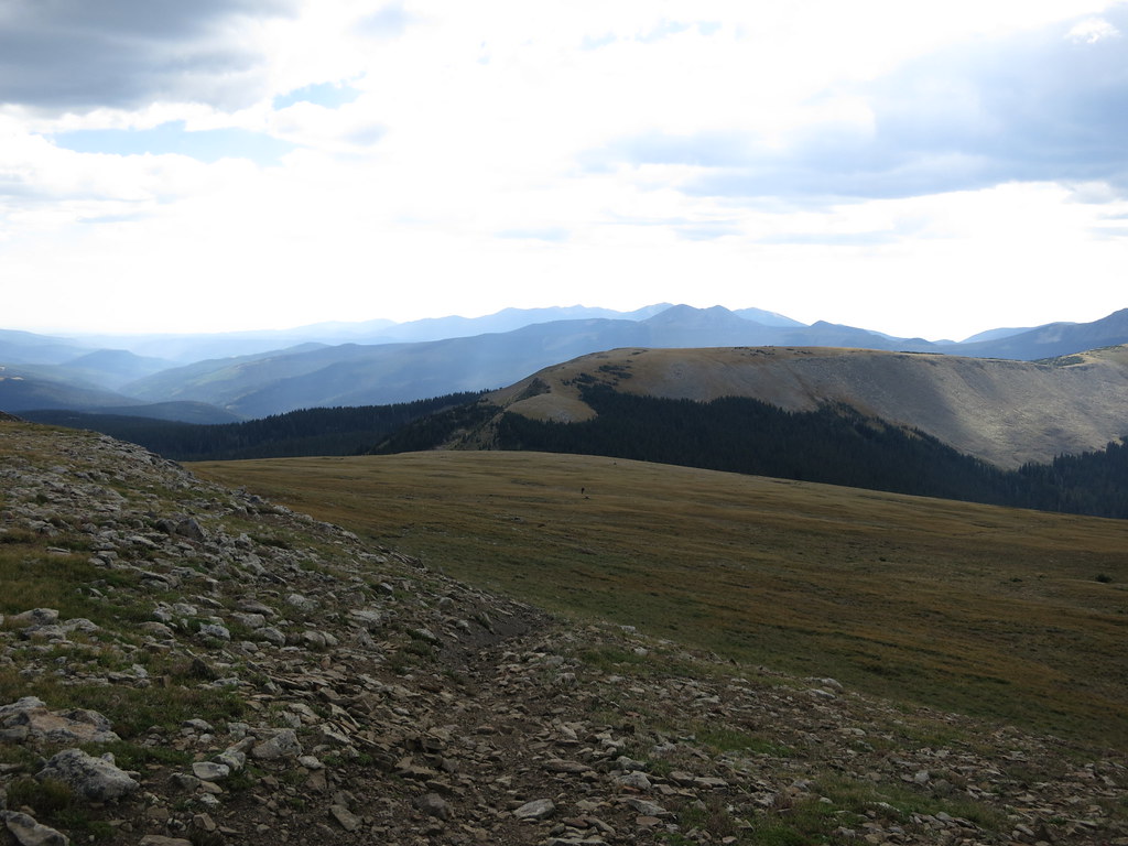
the north ridge above the refuge
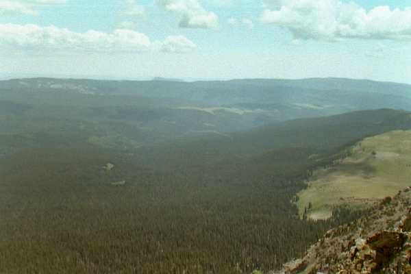
Big View

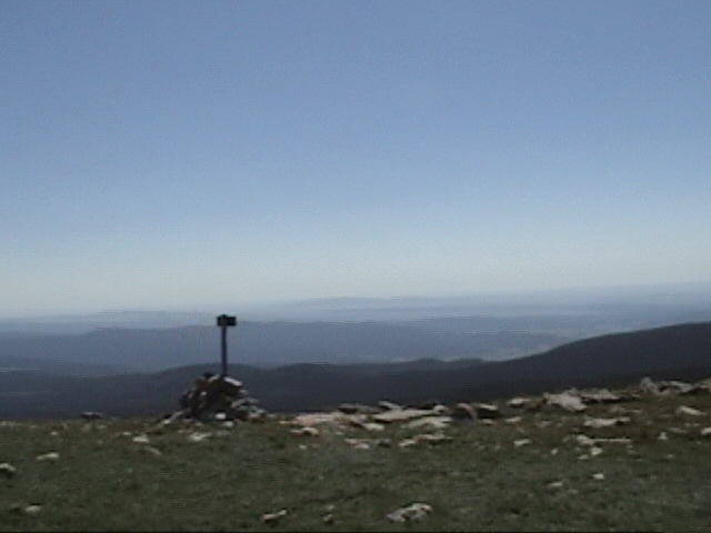
Summit View

another view from the northridge above the refuge
Soutwest View
View from Santa Barbara Ridge. ca. 12800 feet. Taos Co., NM. 07.16.06 #3

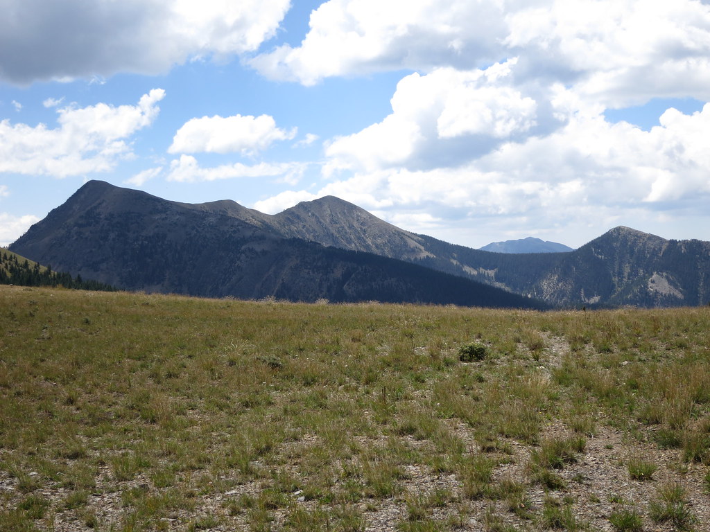
Valley View

Panorama from S Truchas - N

View from Santa Barbara Ridge. ca. Taos Co., NM. 12800 feet. 07.16.06 #5
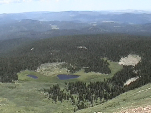
View from Santa Barbara Ridge. ca. 12800 feet. 07.16.06 #3 Taos Co., NM. (Serpent Lake)

View from Santa Barbara Ridge. ca. 12800 feet. 07.16.06 #3 Taos Co., NM. (Serpent Lake)
Scenic view
The Arch in the Sky
View from the Bus

View from the Bus
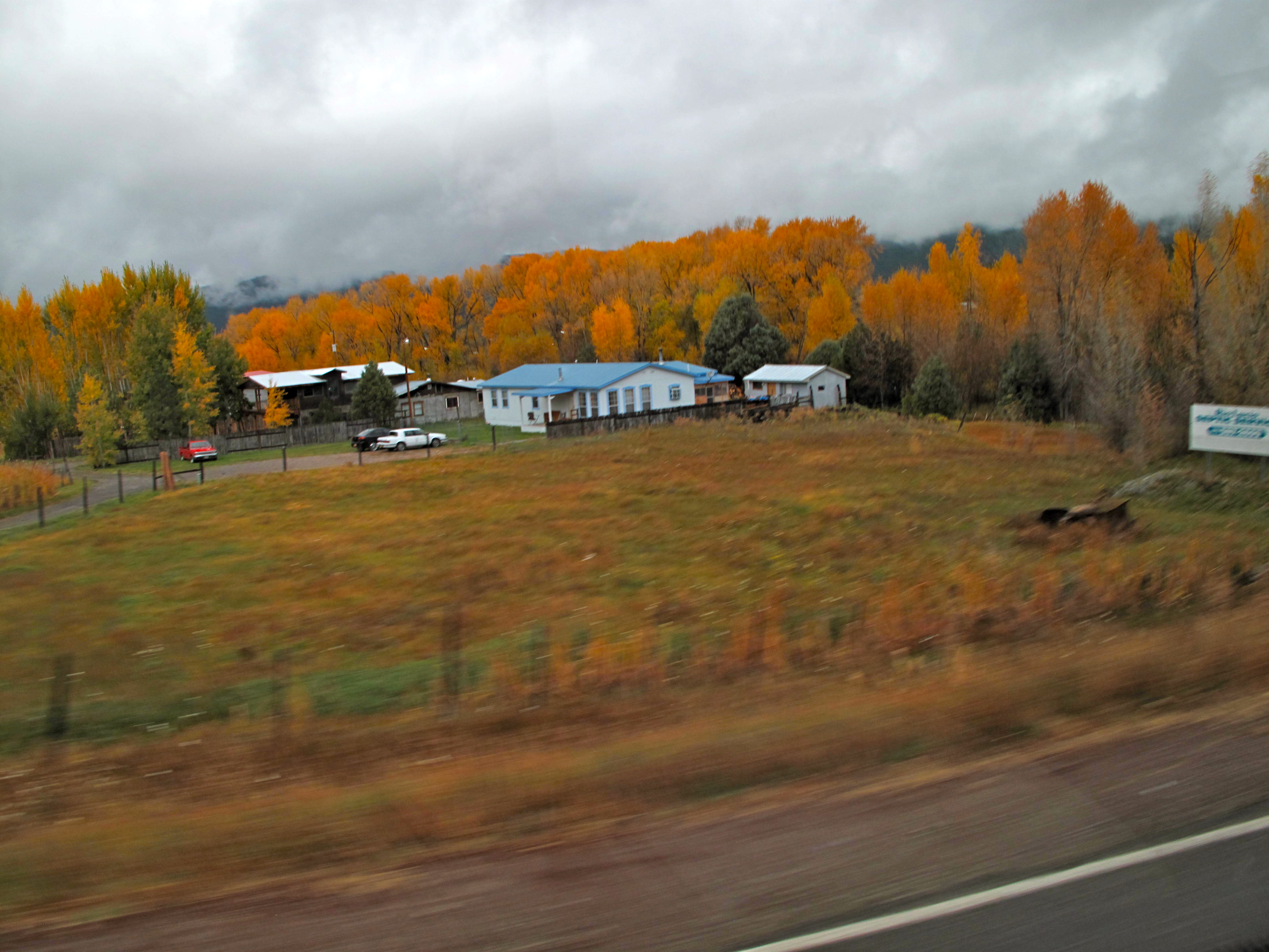
View from the Bus
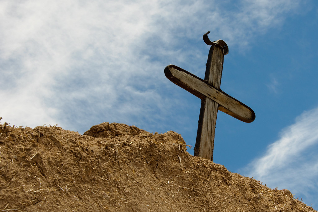
Cross at San Jose de Garcia
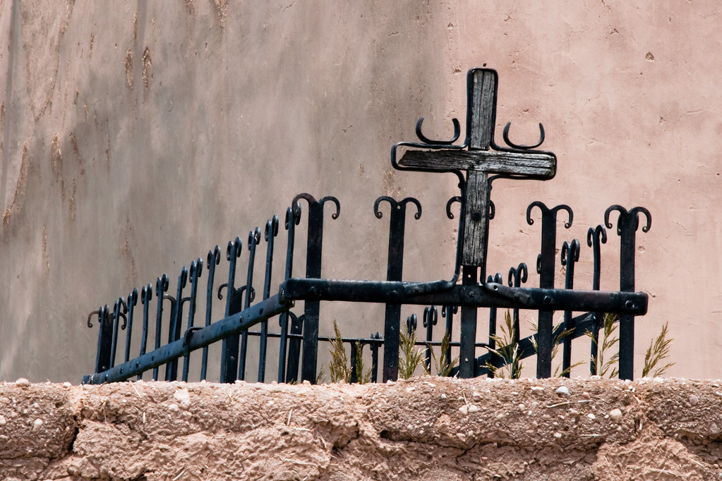
Grave at San Jose de Garcia

Studio Gallery

Trampas Church 2
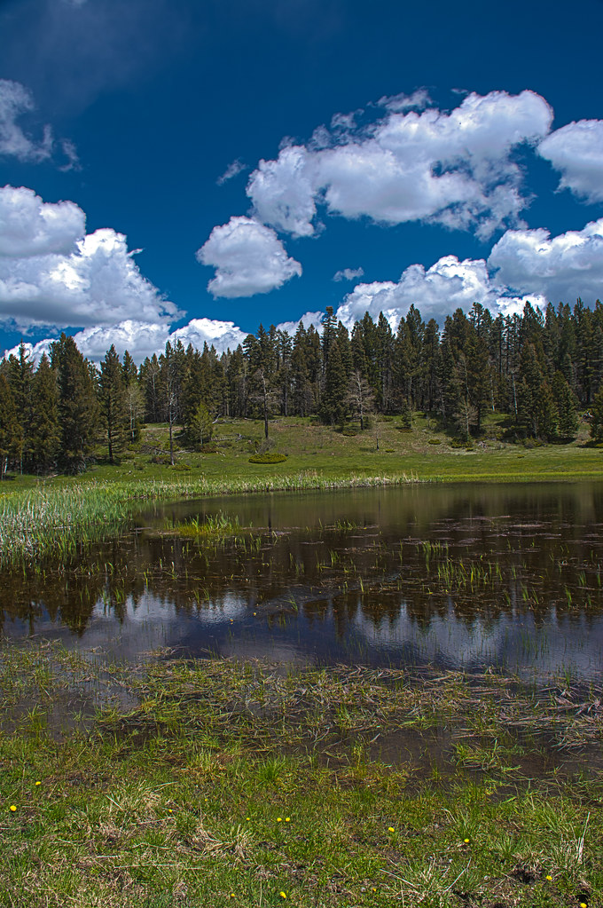
Indian Lake HDR
PECOSW_07-05-2012_063
20131019-_MG_3759

20131019-_MG_3771
Trampas Lake

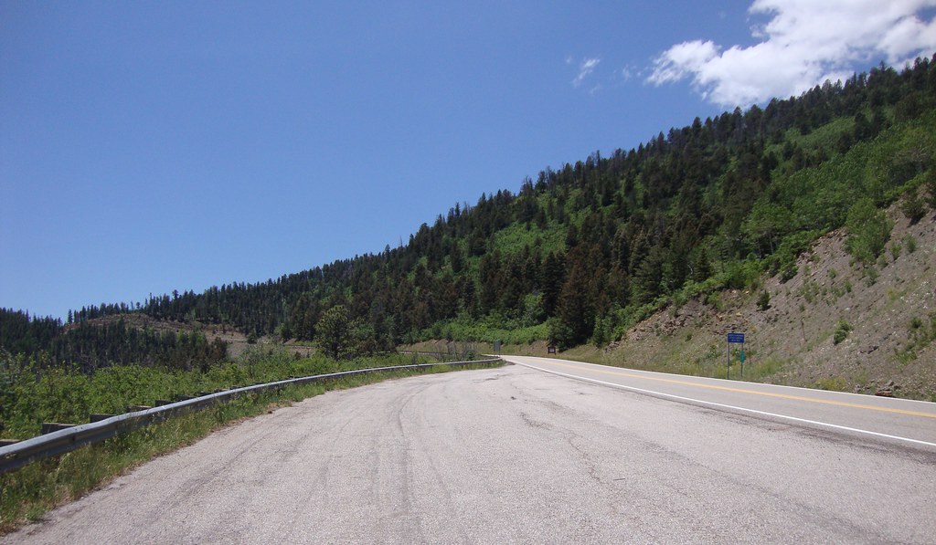
On the High Road to Taos

Kinfolks on Switchback #2
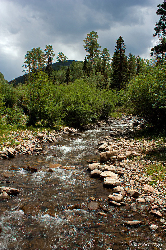
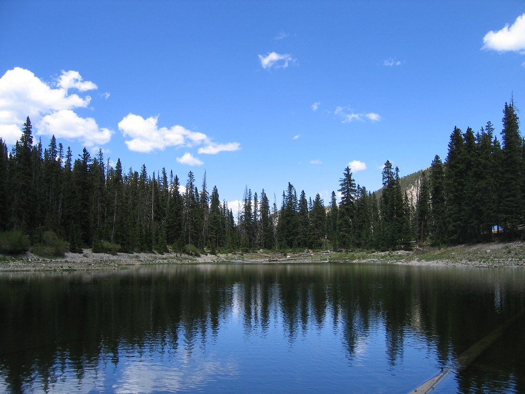
Rio Santa Barbara

Second lake

Trampas Lake

West Fork Drainage
20131019-_MG_3745

Sun & Smoke
My favorite
Summit Approach

Kinfolks on the Way Down
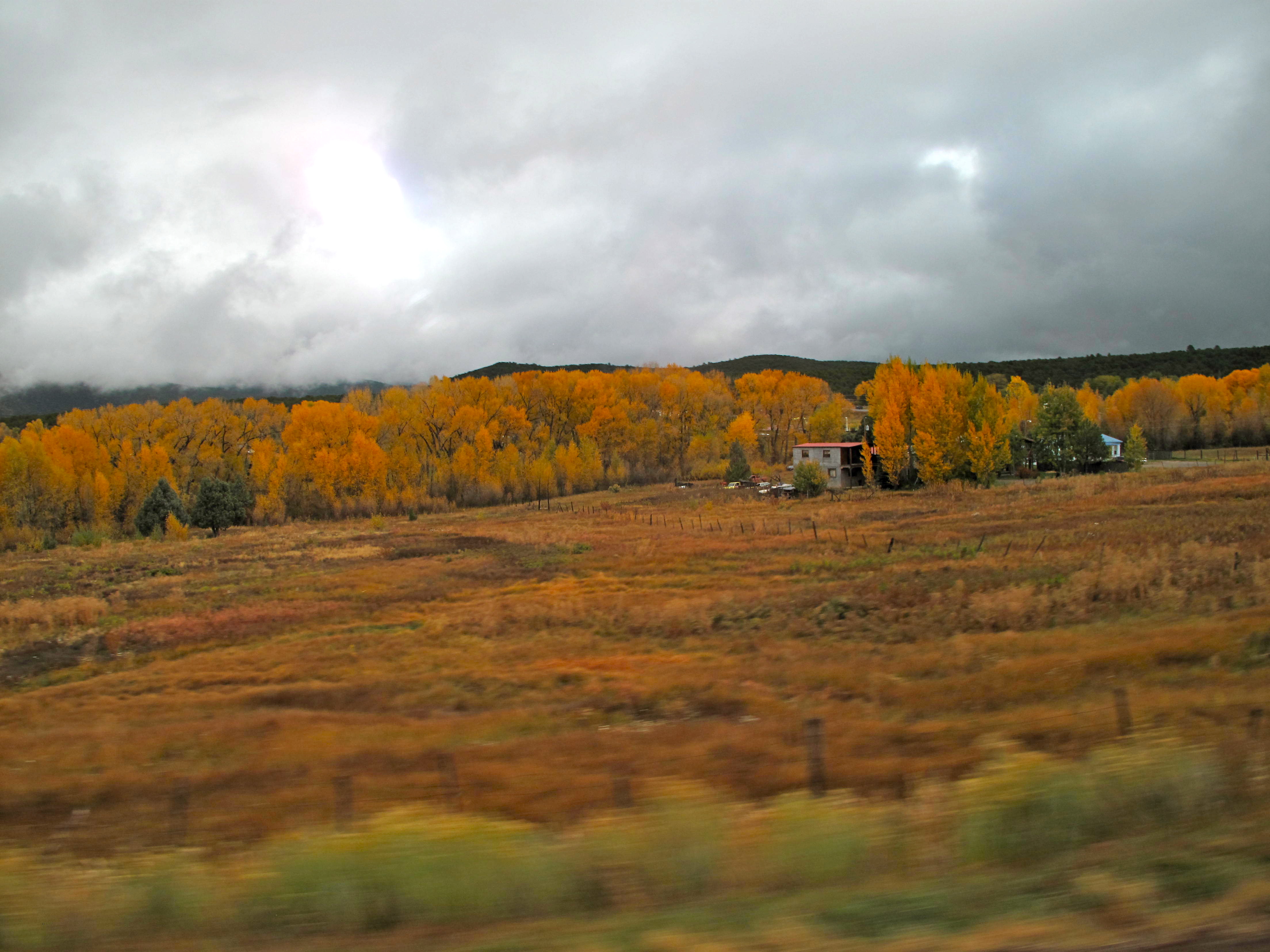
Sangre de Cristo Mountains Landscape (Mora County, New Mexico)
Lower Trampas Spilway
Sangre de Cristo Mountains Landscape (Mora County, New Mexico)
Topographic Map of Santa Barbara Campground, Vadito, NM, USA
Find elevation by address:

Places near Santa Barbara Campground, Vadito, NM, USA:
Trampas Peak
Jicarita Peak
54 Cam De Abajo, Vadito, NM, USA
112 Llano De La Yegua Rd
Comales Campground
Serpent Lake
4925 Nm-518
Vadito, NM, USA
Two Gray Hares Disc Golf Course
The Knob
Rockwall At Nm-75 & Nm-518
Sipapu
Sipapu Ski & Summer Resort
Rodarte
Agua Piedra Campground
Tres Ritos
Peñasco
Vadito
United States Postal Service
21 Camino Del Vadito
Recent Searches:
- Elevation of Elwyn Dr, Roanoke Rapids, NC, USA
- Elevation of Congressional Dr, Stevensville, MD, USA
- Elevation of Bellview Rd, McLean, VA, USA
- Elevation of Stage Island Rd, Chatham, MA, USA
- Elevation of Shibuya Scramble Crossing, 21 Udagawacho, Shibuya City, Tokyo -, Japan
- Elevation of Jadagoniai, Kaunas District Municipality, Lithuania
- Elevation of Pagonija rock, Kranto 7-oji g. 8"N, Kaunas, Lithuania
- Elevation of Co Rd 87, Jamestown, CO, USA
- Elevation of Tenjo, Cundinamarca, Colombia
- Elevation of Côte-des-Neiges, Montreal, QC H4A 3J6, Canada