Elevation of Comales Campground, Vadito, NM, USA
Location: United States > New Mexico > Taos County > Vadito >
Longitude: -105.58894
Latitude: 36.160092
Elevation: 2425m / 7956feet
Barometric Pressure: 75KPa
Elevation Map:
Satellite Map:
Related Photos:
daisy's view
The Arch in the Sky

Las Trampas, New Mexico

Cross at San Jose de Garcia

"Belfries" and gallery

the north ridge above the refuge

another view from the northridge above the refuge

Grave at San Jose de Garcia

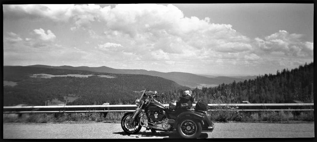
The Bridge

View from Santa Barbara Ridge. ca. Taos Co., NM. 12800 feet. 07.16.06 #5

Hilltop view

Hilltop view

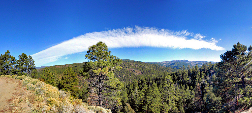
New Mexico Panorama

View from Santa Barbara Ridge. ca. 12800 feet. 07.16.06 #3 Taos Co., NM. (Serpent Lake)

View from Santa Barbara Ridge. ca. 12800 feet. 07.16.06 #3 Taos Co., NM. (Serpent Lake)

View from Santa Barbara Ridge. ca. 12800 feet. Taos Co., NM. 07.16.06 #3

Sugar Nymphs

View from the Bus

Studio Gallery

View from the Bus

Trampas Church 1

Home in northern New Mexico or Hey look a hawk!

no matter which way I look

above, and beyond

descanso de mom
shadow selfie

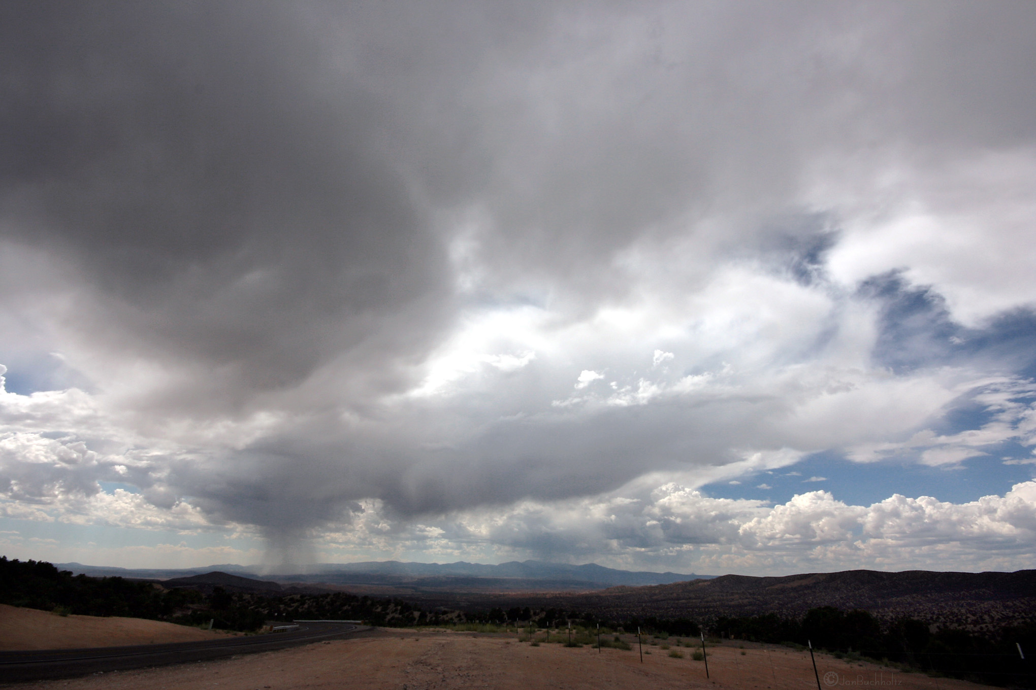
Sangre de Cristo Mountains Landscape (Mora County, New Mexico)

Sangre de Cristo Mountains Landscape (Mora County, New Mexico)

Sangre de Cristo Mountains Landscape (Mora County, New Mexico)

Sangre de Cristo Mountains Landscape (Mora County, New Mexico)

Rio Pueblo: East of Vadito, New Mexico (NM)

Sangre de Cristo Mountains Landscape (Mora County, New Mexico)

Sangre de Cristo Mountains Landscape (Mora County, New Mexico)
Touch the Sky

Sipapu Morning

New Mexico High Country

Indian Lake HDR

Above the Lakes

The Watcher

The Dome (Jicarita): Llano, New Mexico (NM)
Topographic Map of Comales Campground, Vadito, NM, USA
Find elevation by address:

Places near Comales Campground, Vadito, NM, USA:
4925 Nm-518
Two Gray Hares Disc Golf Course
Rockwall At Nm-75 & Nm-518
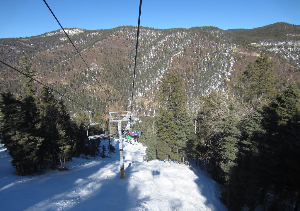
Sipapu
Sipapu Ski & Summer Resort
Vadito, NM, USA
Agua Piedra Campground
112 Llano De La Yegua Rd
54 Cam De Abajo, Vadito, NM, USA
Santa Barbara Campground
Tres Ritos
Rodarte
Vadito
United States Postal Service
The Knob
Peñasco
21 Camino Del Vadito
Cerro Del Oso
Jicarita Peak
1719 Nm-75
Recent Searches:
- Elevation of Congressional Dr, Stevensville, MD, USA
- Elevation of Bellview Rd, McLean, VA, USA
- Elevation of Stage Island Rd, Chatham, MA, USA
- Elevation of Shibuya Scramble Crossing, 21 Udagawacho, Shibuya City, Tokyo -, Japan
- Elevation of Jadagoniai, Kaunas District Municipality, Lithuania
- Elevation of Pagonija rock, Kranto 7-oji g. 8"N, Kaunas, Lithuania
- Elevation of Co Rd 87, Jamestown, CO, USA
- Elevation of Tenjo, Cundinamarca, Colombia
- Elevation of Côte-des-Neiges, Montreal, QC H4A 3J6, Canada
- Elevation of Bobcat Dr, Helena, MT, USA