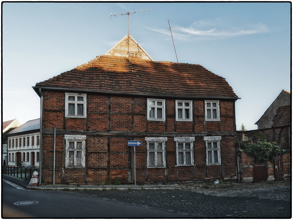
Elevation of Sanner Dorfstraße 29, Sanne-Kerkuhn, Germany
Location: Germany > Saxony-anhalt > Sanne-kerkuhn > Kerkuhn >
Longitude: 11.44735
Latitude: 52.8255
Elevation: 36m / 118feet
Barometric Pressure: 101KPa
Elevation Map:
Satellite Map:
Related Photos:

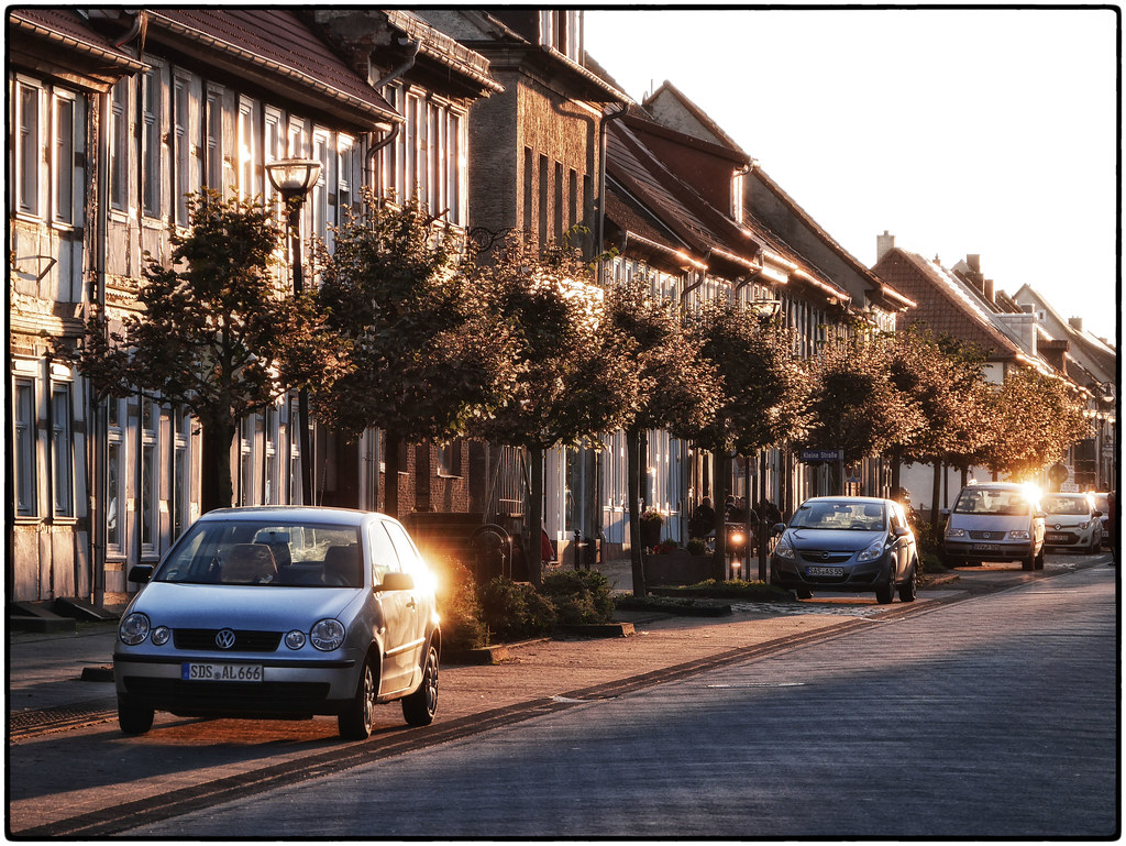
red and white

Sonnenstrahl im Wald
Sunny Eastside Of Mainstreet, Arendsee
Our Hotel's Pool, Arendsee
1A-Lage, Arendsee
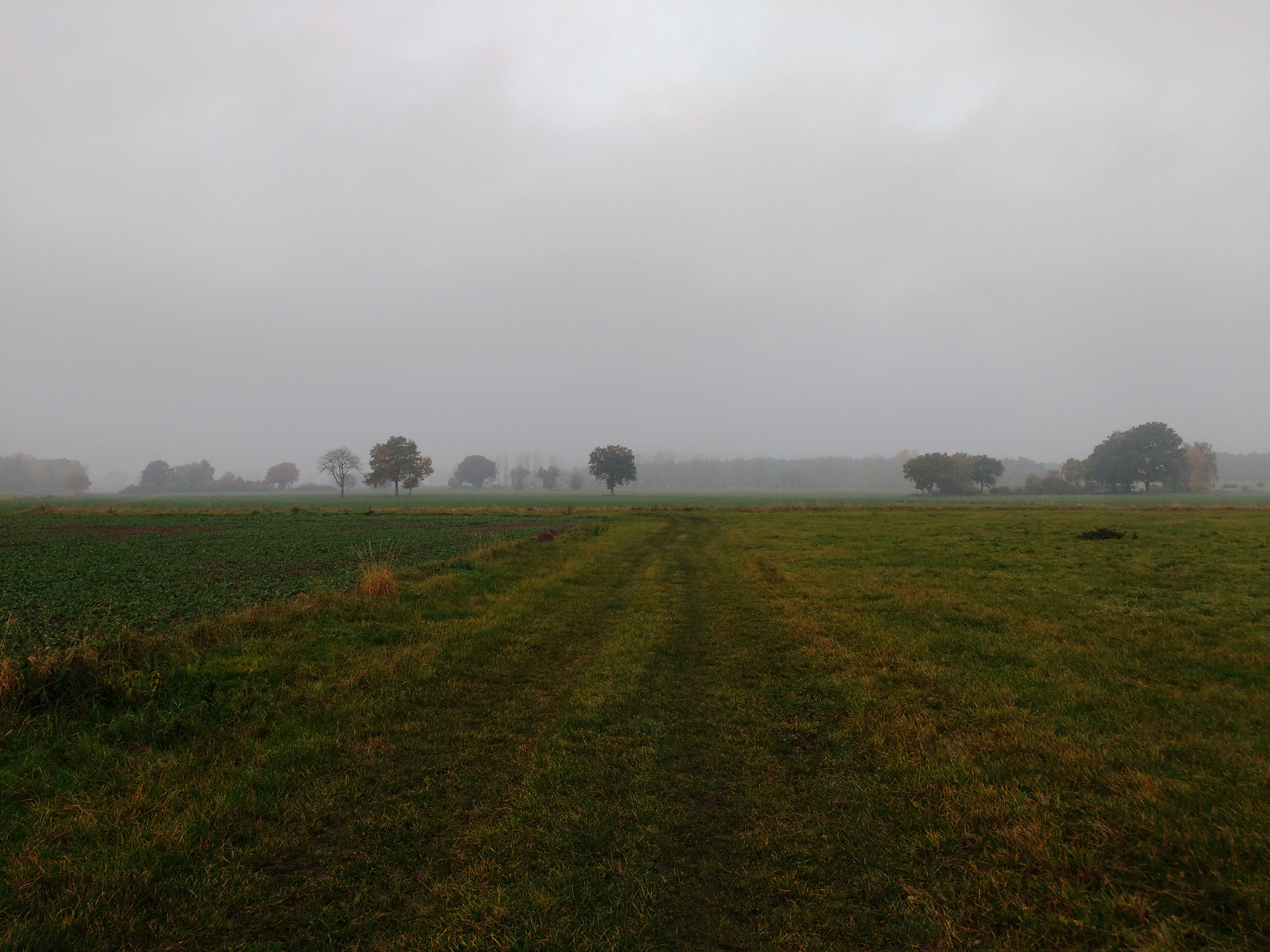
Altmark im Oktober

20110228_748.jpg
Altmark 1
Altmark 2
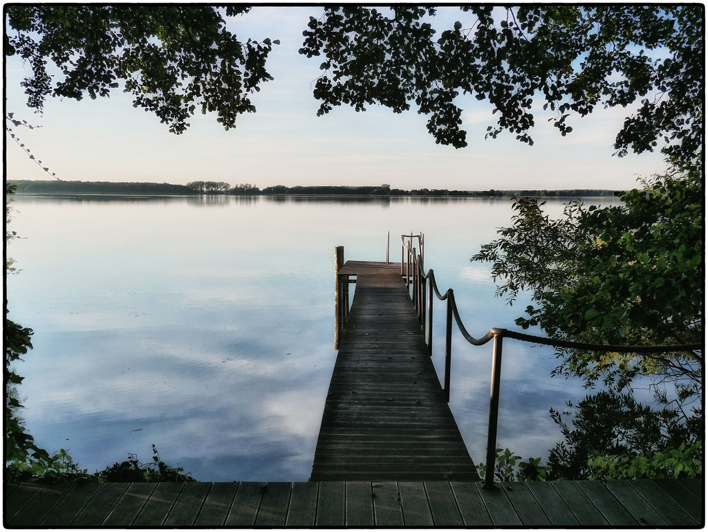
Arendsee - 21.6.2015
Tour zum Arendsee
Tour zum Arendsee

Tour zum Arendsee

Tour zum Arendsee
Topographic Map of Sanner Dorfstraße 29, Sanne-Kerkuhn, Germany
Find elevation by address:

Places near Sanner Dorfstraße 29, Sanne-Kerkuhn, Germany:
Kerkuhn
Sanne-kerkuhn
Schernikau 21, Vissum, Germany
Schernikau
26a
Schrampe
Rettungswache Arendsee
Große Dorfstraße 12, Kalbe (Milde), Germany
Brunau
Ferienland Arendsee
Arendsee
Vissum
Mechau
Dorfstraße 5, Mechau, Germany
Gagel
Dorfstraße 44, Altmärkische Höhe, Germany
Bockleben 2, Lemgow, Germany
Bockleben
5a
Zierau
Recent Searches:
- Elevation of Kootenai Trail Rd, Bonners Ferry, ID, USA
- Elevation of Hickory Blvd, Bonita Springs, FL, USA
- Elevation of Lalagbene, Bayelsa, Nigeria
- Elevation of Ogbosuware Health Centre, 2WWJ+4PJ, Lalagbene, Bayelsa, Nigeria
- Elevation of Duckhorn Ct, Las Vegas, NV, USA
- Elevation of Garretts Run Rd, Ford City, PA, USA
- Elevation of N WI-55, Freedom, WI, USA
- Elevation map of Hadiya, Ethiopia
- Elevation of Hosaina, Ethiopia
- Elevation of Verde Terrace, North Port, FL, USA